Buildings in Lexington - old and new.
Buildings in Lexington - old and new. — Stock Photo, Image
Mare with her colt on pastures of horse farms.
Mare with her colt on pastures of horse farms. — Stock Photo, Image
Duck in Lexington
Duck in Lexington — Stock Photo, Image
Thoroughbred Horses Grazing at Sunset
Thoroughbred Horses Grazing at Sunset — Stock Photo, Image
Moonrise at a horse farm
Moonrise at a horse farm — Stock Photo, Image
Horse Farm
Horse Farm — Stock Photo, Image
Lexington behind the fence
Lexington behind the fence — Stock Photo, Image
Skyscraper in Lexington
Skyscraper in Lexington — Stock Photo, Image
Afternoon light on Lexington buildings.
Afternoon light on Lexington buildings. — Stock Photo, Image
Woman enjoying countryside view with green pastures and horses.
Woman enjoying countryside view with green pastures and horses. — Stock Photo, Image
Thoroughbred Horses Grazing at Sunset
Thoroughbred Horses Grazing at Sunset — Stock Photo, Image
Buildings at Pershing Square, in downtown Los Angeles, Californi
Buildings at Pershing Square, in downtown Los Angeles, Californi — Stock Photo, Image
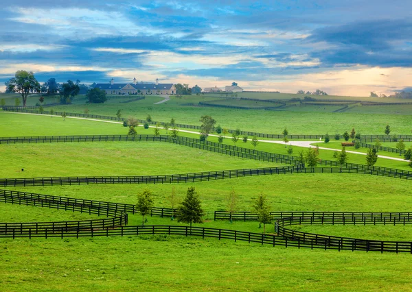
Horse country
Horse country — Stock Photo, Image
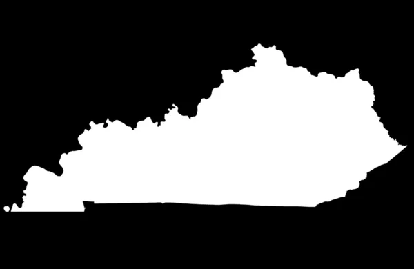
Commonwealth of Kentucky map
Commonwealth of Kentucky map — Stock Photo, Image
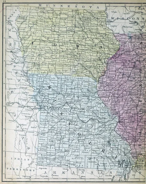
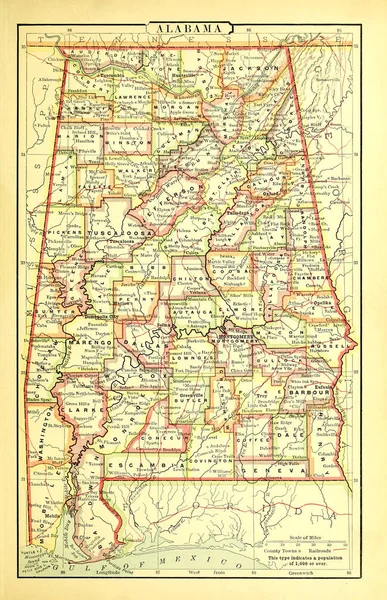
Old map. Engraving image
Old Map Engraving Image — Stock Photo, Image
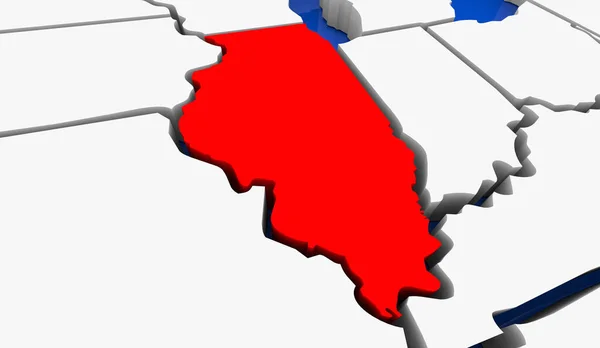
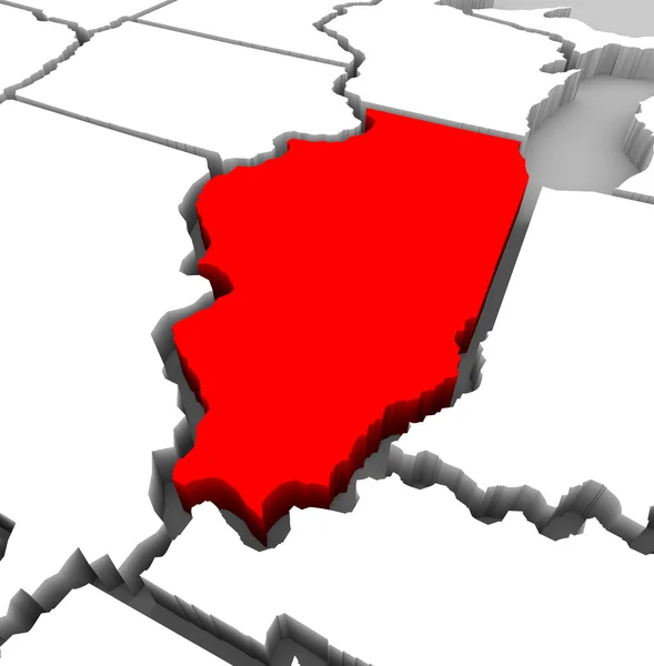
Illinois IL State Map Chicago Travel Business Destination Location 3d Illustration
Illinois State Map Chicago Travel Business Destination Location Illustration — Stock Photo, Image
Political map of United States with the several states where Pennsylvania is highlighted.
Political Map United States Several States Pennsylvania Highlighted — Stock Photo, Image
Political map of United States with the several states where West Virginia is highlighted.
Political Map United States Several States West Virginia Highlighted — Stock Photo, Image
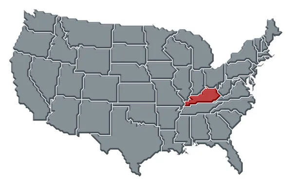
Political map of United States with the several states where Kentucky is highlighted.
Political Map United States Several States Kentucky Highlighted — Stock Photo, Image
Political map of United States with the several states where Tennessee is highlighted.
Political Map United States Several States Tennessee Highlighted — Stock Photo, Image
Shape of North-West, district of Botswana, with its capital isolated on white background. Bilevel elevation map. 3D rendering
Shape North West District Botswana Its Capital Isolated White Background — Stock Photo, Image
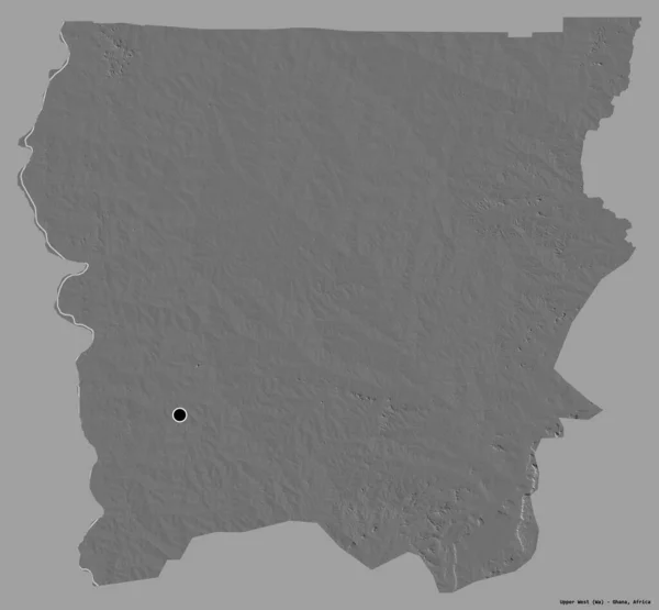
Shape of Upper West, region of Ghana, with its capital isolated on a solid color background. Bilevel elevation map. 3D rendering
Shape Upper West Region Ghana Its Capital Isolated Solid Color — Stock Photo, Image
Illinois State Map - 3d Illustration
Illinois State Map - 3d Illustration — Stock Photo, Image
Old US state. Map
Old State Map — Stock Photo, Image
Minnesota, state of United States of America. Elevation map colored in wiki style with lakes and rivers
Minnesota State United States America Elevation Map Colored Wiki Style — Stock Photo, Image
Political map of United States with the several states where Connecticut is highlighted.
Political Map United States Several States Connecticut Highlighted — Stock Photo, Image
Chad on 3D map
Chad on 3D map — Stock Photo, Image
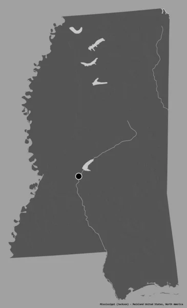
Shape of Mississippi, state of Mainland United States, with its capital isolated on a solid color background. Bilevel elevation map. 3D rendering
Shape Mississippi State Mainland United States Its Capital Isolated Solid — Stock Photo, Image
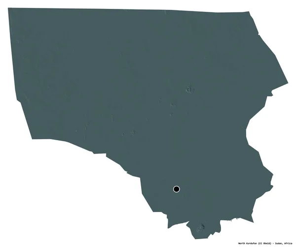
Shape of North Kurdufan, state of Sudan, with its capital isolated on white background. Colored elevation map. 3D rendering
Shape North Kurdufan State Sudan Its Capital Isolated White Background — Stock Photo, Image
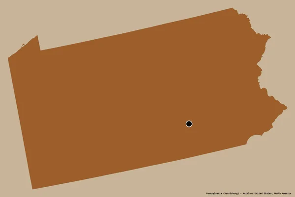
Shape of Pennsylvania, state of Mainland United States, with its capital isolated on white background. Composition of patterned textures. 3D rendering
Shape Pennsylvania State Mainland United States Its Capital Isolated White — Stock Photo, Image
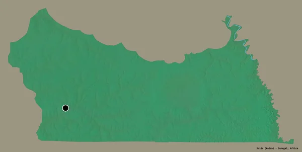
Shape of Kolda, region of Senegal, with its capital isolated on white background. Colored elevation map. 3D rendering
Shape Kolda Region Senegal Its Capital Isolated White Background Colored — Stock Photo, Image
Political map of United States with the several states where Virginia is highlighted.
Political Map United States Several States Virginia Highlighted — Stock Photo, Image
Shape of Nkhotakota, district of Malawi, with its capital isolated on white background. Composition of patterned textures. 3D rendering
Shape Nkhotakota District Malawi Its Capital Isolated White Background Composition — Stock Photo, Image
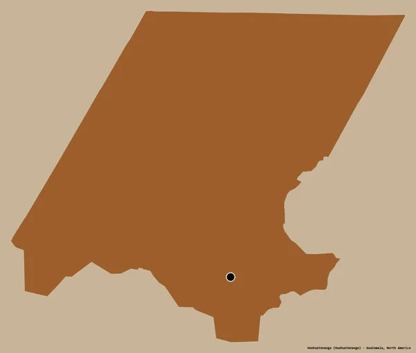
Shape of Huehuetenango, department of Guatemala, with its capital isolated on a solid color background. Composition of patterned textures. 3D rendering
Shape Huehuetenango Department Guatemala Its Capital Isolated Solid Color Background — Stock Photo, Image
Shape of Huehuetenango, department of Guatemala, with its capital isolated on a solid color background. Composition of patterned textures. 3D rendering
Shape Huehuetenango Department Guatemala Its Capital Isolated Solid Color Background — Stock Photo, Image
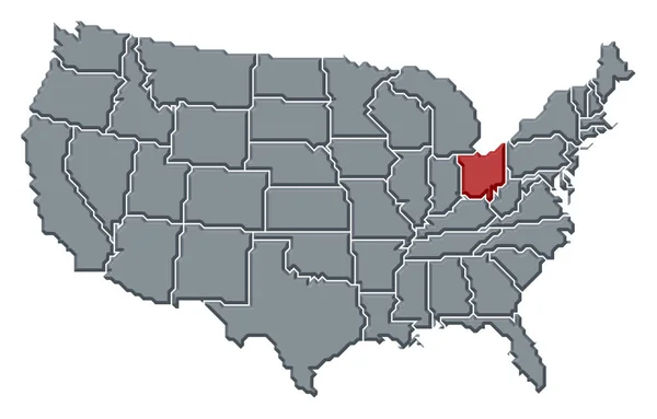
Political map of United States with the several states where Ohio is highlighted.
Political Map United States Several States Ohio Highlighted — Stock Photo, Image
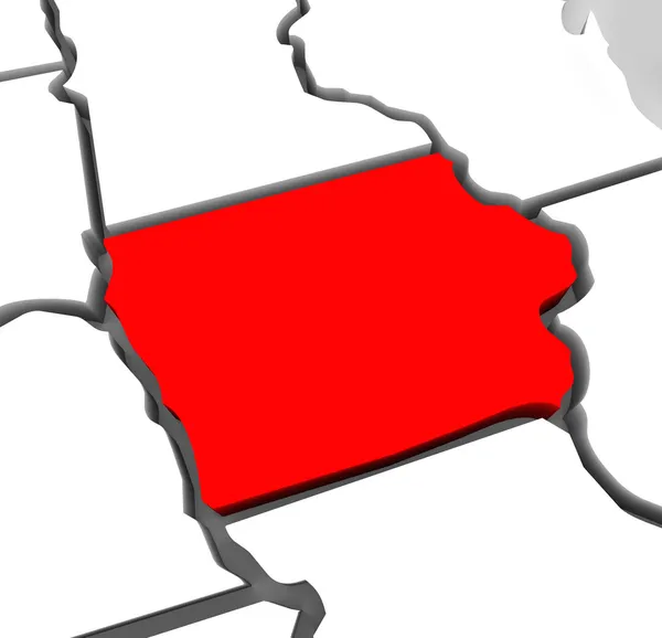
Iowa Red Abstract 3D State Map United States America
Iowa Red Abstract 3D State Map United States America — Stock Photo, Image
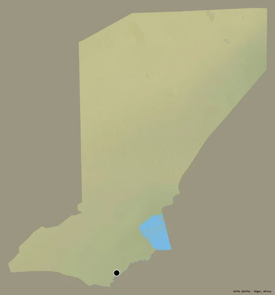
Shape of Diffa, department of Niger, with its capital isolated on a solid color background. Topographic relief map. 3D rendering
Shape Diffa Department Niger Its Capital Isolated Solid Color Background — Stock Photo, Image
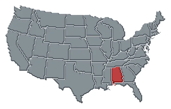
Political map of United States with the several states where Alabama is highlighted.
Political Map United States Several States Alabama Highlighted — Stock Photo, Image
Shape of Kgalagadi, district of Botswana, with its capital isolated on a solid color background. Colored elevation map. 3D rendering
Shape Kgalagadi District Botswana Its Capital Isolated Solid Color Background — Stock Photo, Image
Old map. Engraving image
Old Map Engraving Image — Stock Photo, Image
Shape of North Kurdufan, state of Sudan, with its capital isolated on white background. Bilevel elevation map. 3D rendering
Shape North Kurdufan State Sudan Its Capital Isolated White Background — Stock Photo, Image
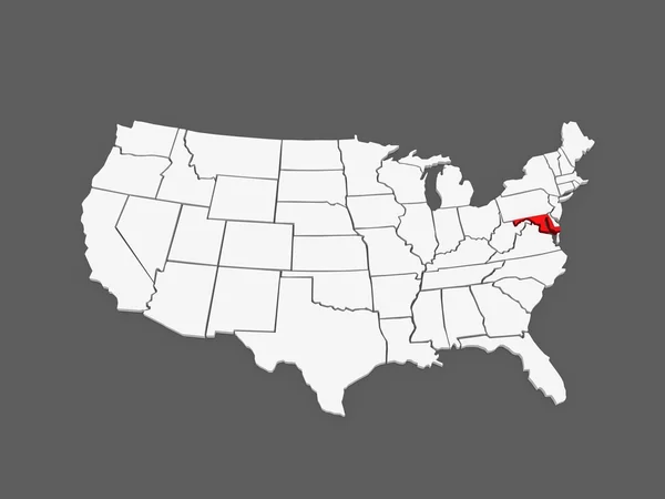
Three-dimensional map of Maryland. USA.
Three-dimensional map of Maryland. USA. — Stock Photo, Image
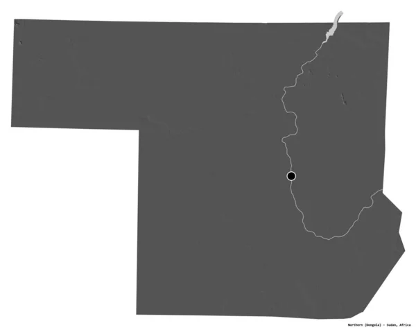
Shape of Northern, state of Sudan, with its capital isolated on white background. Bilevel elevation map. 3D rendering
Shape Northern State Sudan Its Capital Isolated White Background Bilevel — Stock Photo, Image
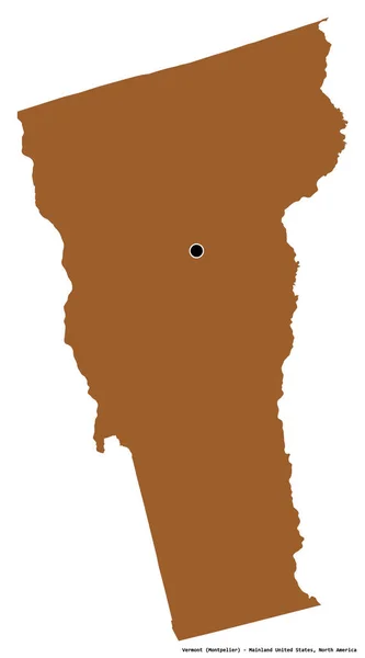
Shape of Vermont, state of Mainland United States, with its capital isolated on white background. Composition of patterned textures. 3D rendering
Shape Vermont State Mainland United States Its Capital Isolated White — Stock Photo, Image
Shape of North-West, district of Botswana, with its capital isolated on white background. Colored elevation map. 3D rendering
Shape North West District Botswana Its Capital Isolated White Background — Stock Photo, Image
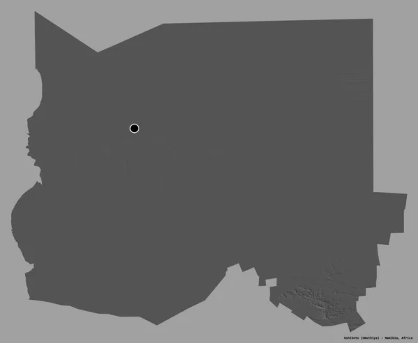
Shape of Oshikoto, region of Namibia, with its capital isolated on a solid color background. Bilevel elevation map. 3D rendering
Shape Oshikoto Region Namibia Its Capital Isolated Solid Color Background — Stock Photo, Image
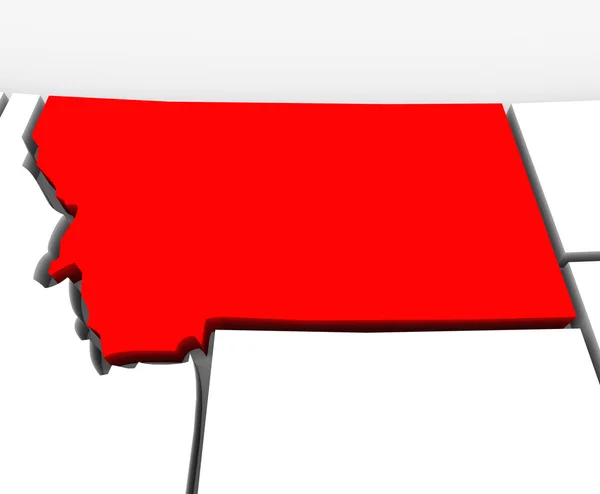
Montana Red Abstract 3D State Map United States America
Montana Red Abstract 3D State Map United States America — Stock Photo, Image
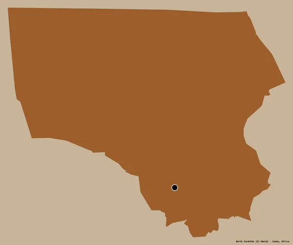
Shape of North Kurdufan, state of Sudan, with its capital isolated on a solid color background. Composition of patterned textures. 3D rendering
Shape North Kurdufan State Sudan Its Capital Isolated Solid Color — Stock Photo, Image
Shape of Upper West, region of Ghana, with its capital isolated on a solid color background. Colored elevation map. 3D rendering
Shape Upper West Region Ghana Its Capital Isolated Solid Color — Stock Photo, Image
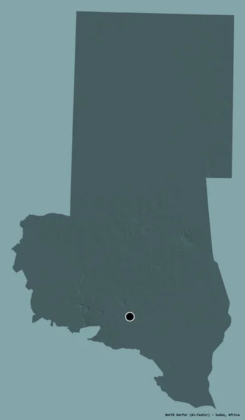
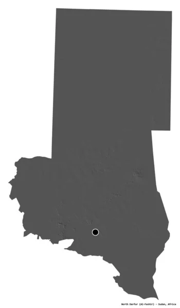
Shape of North Darfur, state of Sudan, with its capital isolated on a solid color background. Bilevel elevation map. 3D rendering
Shape North Darfur State Sudan Its Capital Isolated Solid Color — Stock Photo, Image
Three-dimensional map of Pennsylvania. USA.
Three-dimensional map of Pennsylvania. USA. — Stock Photo, Image
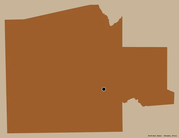
Shape of North-West, district of Botswana, with its capital isolated on a solid color background. Bilevel elevation map. 3D rendering
Shape North West District Botswana Its Capital Isolated Solid Color — Stock Photo, Image
Political map of United States with the several states where Nebraska is highlighted.
Political Map United States Several States Nebraska Highlighted — Stock Photo, Image
Shape of Santa Fe, province of Argentina, with its capital isolated on white background. Bilevel elevation map. 3D rendering
Shape Santa Province Argentina Its Capital Isolated White Background Bilevel — Stock Photo, Image
Shape of Otjozondjupa, region of Namibia, with its capital isolated on white background. Composition of patterned textures. 3D rendering
Shape Otjozondjupa Region Namibia Its Capital Isolated White Background Composition — Stock Photo, Image
Shape of Lunda Norte, province of Angola, with its capital isolated on white background. Bilevel elevation map. 3D rendering
Shape Lunda Norte Province Angola Its Capital Isolated White Background — Stock Photo, Image
Shape of Santa Fe, province of Argentina, with its capital isolated on white background. Colored elevation map. 3D rendering
Shape Santa Province Argentina Its Capital Isolated White Background Colored — Stock Photo, Image
Shape of Kgalagadi, district of Botswana, with its capital isolated on a solid color background. Composition of patterned textures. 3D rendering
Shape Kgalagadi District Botswana Its Capital Isolated Solid Color Background — Stock Photo, Image
Shape of Kansas, state of Mainland United States, with its capital isolated on solid background. Distance scale, region preview and labels. Topographic relief map. 3D rendering
Shape Kansas State Mainland United States Its Capital Isolated Solid — Stock Photo, Image
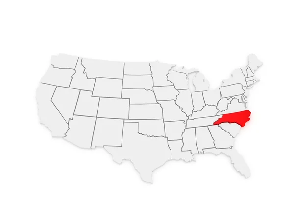
Three-dimensional map of North Carolina. USA.
Three-dimensional map of North Carolina. USA. — Stock Photo, Image
Illinois IL State USA
Illinois IL State USA — Stock Photo, Image
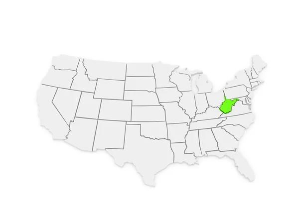
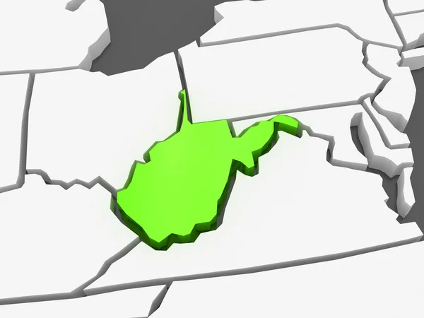
Three-dimensional map of West Virginia. USA.
Three-dimensional map of West Virginia. USA. — Stock Photo, Image
Shape of North-West, district of Botswana, with its capital isolated on a solid color background. Composition of patterned textures. 3D rendering
Shape North West District Botswana Its Capital Isolated Solid Color — Stock Photo, Image
Shape of Kolda, region of Senegal, with its capital isolated on white background. Bilevel elevation map. 3D rendering
Shape Kolda Region Senegal Its Capital Isolated White Background Bilevel — Stock Photo, Image
Shape of Collines, department of Benin, with its capital isolated on a solid color background. Composition of patterned textures. 3D rendering
Shape Collines Department Benin Its Capital Isolated Solid Color Background — Stock Photo, Image
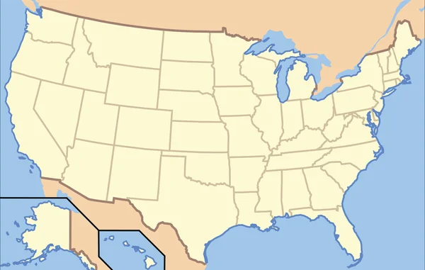
USA Map
USA Map — Stock Photo, Image
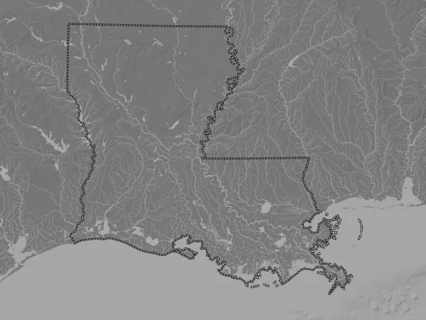
Louisiana, state of United States of America. Bilevel elevation map with lakes and rivers
Louisiana State United States America Bilevel Elevation Map Lakes Rivers — Stock Photo, Image
Three-dimensional map of West Virginia. USA.
Three-dimensional map of West Virginia. USA. — Stock Photo, Image
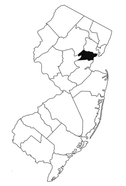
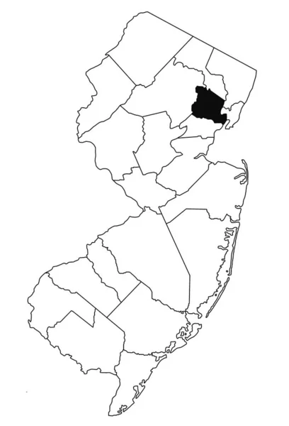
Map of union County in new jersey state on white background. single County map highlighted by black colour on new jersey map .
Map Union County New Jersey State White Background Single County — Stock Photo, Image
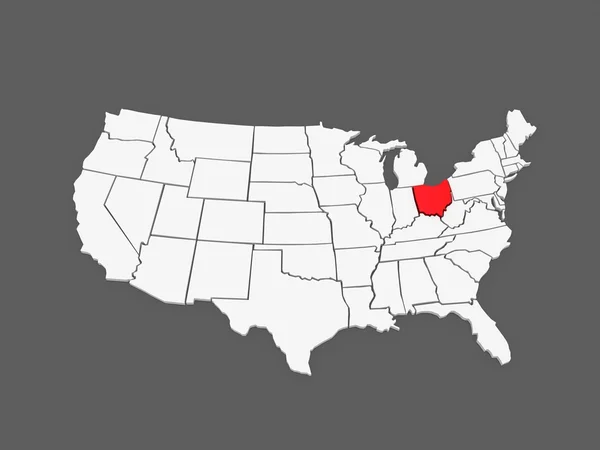
Three-dimensional map of Ohio. USA.
Three-dimensional map of Ohio. USA. — Stock Photo, Image
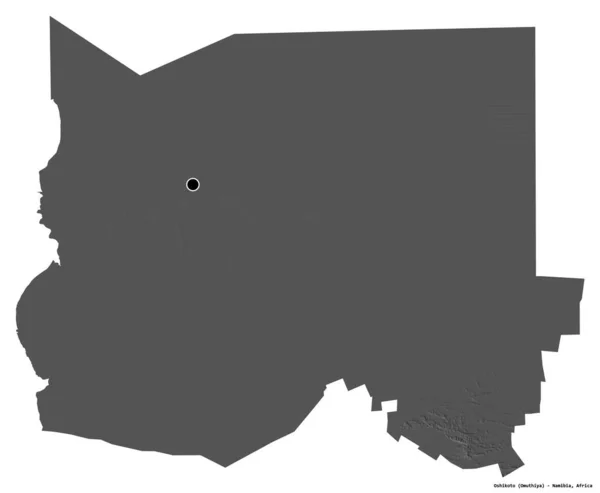
Shape of Oshikoto, region of Namibia, with its capital isolated on white background. Bilevel elevation map. 3D rendering
Shape Oshikoto Region Namibia Its Capital Isolated White Background Bilevel — Stock Photo, Image
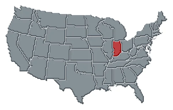
Political map of United States with the several states where Indiana is highlighted.
Political Map United States Several States Indiana Highlighted — Stock Photo, Image
Shape of Pennsylvania, state of Mainland United States, with its capital isolated on a solid color background. Composition of patterned textures. 3D rendering
Shape Pennsylvania State Mainland United States Its Capital Isolated Solid — Stock Photo, Image
Three-dimensional map of West Virginia. USA.
Three-dimensional map of West Virginia. USA. — Stock Photo, Image
Shape of North Darfur, state of Sudan, with its capital isolated on a solid color background. Colored elevation map. 3D rendering
Shape North Darfur State Sudan Its Capital Isolated Solid Color — Stock Photo, Image
Three-dimensional map of New Hampshire. USA.
Three-dimensional map of New Hampshire. USA. — Stock Photo, Image
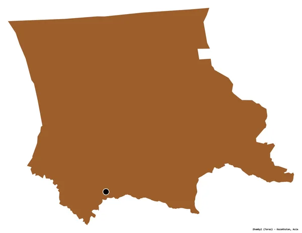
Shape of Zhambyl, region of Kazakhstan, with its capital isolated on white background. Composition of patterned textures. 3D rendering
Shape Zhambyl Region Kazakhstan Its Capital Isolated White Background Composition — Stock Photo, Image
Shape of North Kurdufan, state of Sudan, with its capital isolated on a solid color background. Colored elevation map. 3D rendering
Shape North Kurdufan State Sudan Its Capital Isolated Solid Color — Stock Photo, Image
Old US state. Map
Old State Map — Stock Photo, Image
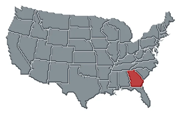
Political map of United States with the several states where Georgia is highlighted.
Political Map United States Several States Georgia Highlighted — Stock Photo, Image
Shape of North Darfur, state of Sudan, with its capital isolated on white background. Bilevel elevation map. 3D rendering
Shape North Darfur State Sudan Its Capital Isolated White Background — Stock Photo, Image
Shape of North Kurdufan, state of Sudan, and its capital. Distance scale, previews and labels. Colored elevation map. 3D rendering
Shape North Kurdufan State Sudan Its Capital Distance Scale Previews — Stock Photo, Image
Shape of Kolda, region of Senegal, with its capital isolated on a solid color background. Topographic relief map. 3D rendering
Shape Kolda Region Senegal Its Capital Isolated Solid Color Background — Stock Photo, Image
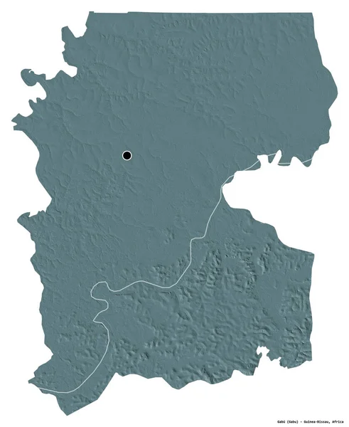
Shape of Gabu, region of Guinea-Bissau, with its capital isolated on white background. Colored elevation map. 3D rendering
Shape Gabu Region Guinea Bissau Its Capital Isolated White Background — Stock Photo, Image
Three-dimensional map of Georgia. USA.
Three-dimensional map of Georgia. USA. — Stock Photo, Image
Vector map Angola. Isolated vector Illustration. Black on White background. EPS 10 Illustration.
Vector Map Angola Isolated Vector Illustration Black White Background Eps — Stock Photo, Image
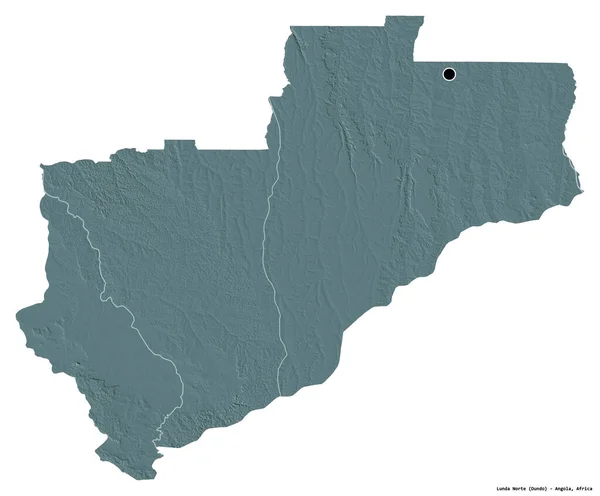
Shape of Lunda Norte, province of Angola, with its capital isolated on white background. Colored elevation map. 3D rendering
Shape Lunda Norte Province Angola Its Capital Isolated White Background — Stock Photo, Image
Political map of United States with the several states where North Dakota is highlighted.
Political Map United States Several States North Dakota Highlighted — Stock Photo, Image
Three-dimensional map of Utah. USA.
Three-dimensional map of Utah. USA. — Stock Photo, Image
Shape of Indiana, state of Mainland United States, with its capital isolated on white background. Composition of patterned textures. 3D rendering
Shape Indiana State Mainland United States Its Capital Isolated White — Stock Photo, Image
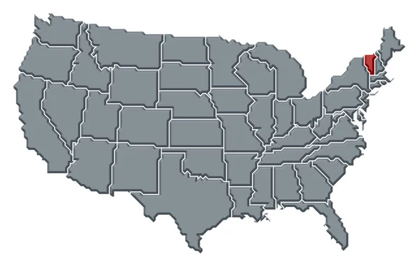
Political map of United States with the several states where Vermont is highlighted.
Political Map United States Several States Vermont Highlighted — Stock Photo, Image
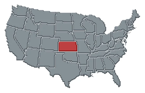
Political map of United States with the several states where Kansas is highlighted.
Political Map United States Several States Kansas Highlighted — Stock Photo, Image
Indiana IN State USA
Indiana IN State USA — Stock Photo, Image
Indiana Red Abstract 3D State Map United States America
Indiana Red Abstract 3D State Map United States America — Stock Photo, Image
Map of Essex County in new jersey state on white background. single County map highlighted by black colour on new jersey map .
Map Essex County New Jersey State White Background Single County — Stock Photo, Image
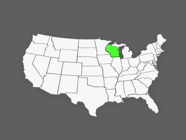
Three-dimensional map of Wisconsin. USA.
Three-dimensional map of Wisconsin. USA. — Stock Photo, Image
Three-dimensional map of North Carolina. USA.
Three-dimensional map of North Carolina. USA. — Stock Photo, Image
Polygonal Wire Frame Mesh High Detail Raster Map of Illinois State Abstractions
Polygonal Wire Frame Mesh High Detail Raster Map of Illinois State Abstractions — Stock Photo, Image

Choose Your Perfect Image with Lexington Images

Are you looking for high-quality, professional images for your website, blog, or marketing campaign? Look no further than Lexington Images. With a wide variety of stock images available in JPG, AI, and EPS formats, you're sure to find the perfect image for your project.

Lexington Images is your one-stop-shop for all your visual needs. Our images range from stunning landscapes and cityscapes to detailed close-ups of everyday objects. Whether you're creating a website, designing a brochure, or crafting a social media campaign, we have the images you need to make your project stand out.

Professional and Versatile Images

Our collection of images is perfect for a variety of industries and projects. From beauty and fashion to technology and education, our images can be used in almost any context. Our images are created by professional photographers and graphic designers, so you can trust that they are of the highest quality.

In addition to our stock images, we also offer various categories of images, including editorial and creative images. These categories allow you to choose the type of image that best suits your needs. Editorial images are perfect for news stories or articles, while creative images are perfect for marketing campaigns or social media posts.

Practical Advice for Using Images

Choosing the right image is crucial for capturing your audience's attention and conveying your message effectively. When browsing through our collection of images, keep in mind the purpose of your project and the message you want to convey.

Make sure to choose images that are relevant to your project and reflect your brand's personality. Don't be afraid to mix and match different types of images to create a unique and eye-catching design. And remember to optimize your images for the web to ensure they load quickly and don't slow down your website.

Cost-Effective Image Licensing

At Lexington Images, we offer competitive pricing and flexible licensing options to fit your budget and your project's needs. Our licensing options include standard or extended licenses, depending on the intended usage of the images.

With a standard license, you can use the images for non-commercial purposes, such as personal projects or social media posts. If you plan to use the images for commercial purposes, such as advertising or product packaging, you'll need an extended license.

In conclusion, Lexington Images offers a wide range of professional and versatile images that can enhance any project. Our collection of stock images and various categories of images makes it easy to find the perfect image for your needs. So why wait? Start browsing our collection of images today and take your project to the next level.