Windrose on old grunge paper with copy space
Windrose on old grunge paper with copy space — Stock Photo, Image
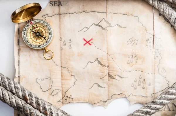
Compass and map of island with treasure sign
Compass Map Island Treasure Sign — Stock Photo, Image
Best Internet Concept of global business from concepts series
Best Internet Concept of global business from concepts series — Stock Photo, Image
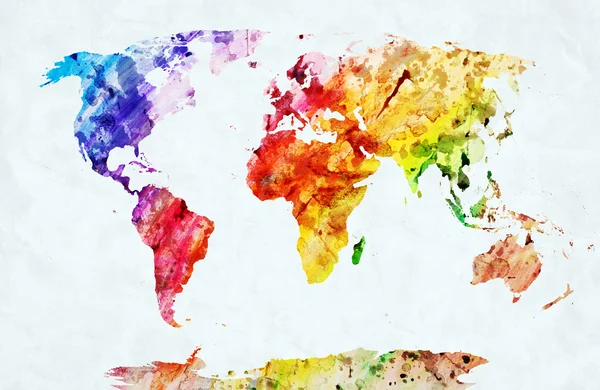
Watercolor world map
Watercolor world map — Stock Photo, Image
Grunge texture
Grunge texture — Stock Photo, Image
Grunge orange red wall background
Grunge orange red wall background — Stock Photo, Image
Texture old paper
Texture old paper — Stock Photo, Image
World map on wood background
World map on wood background — Stock Photo, Image
Vintage world map
Vintage world map — Stock Photo, Image
Businessman looking at city
Businessman looking at city — Stock Photo, Image
Top view of red geolocation in hand on pink background
Top View Red Geolocation Hand Pink Background — Stock Photo, Image
Watercolor vintage world map in pink colors on paper texture. Colorful artistic image of Earths lands
Watercolor Vintage World Map Pink Colors Paper Texture Colorful Artistic — Stock Photo, Image
Parchment with compass rose
Parchment with compass rose — Stock Photo, Image
Red Pushpin
Red Pushpin — Stock Photo, Image
3D World map
3D World map — Stock Photo, Image
Vintage Journey Background
Vintage Journey Background — Stock Photo, Image
Compass and map of island with treasure sign
Compass Map Island Treasure Sign — Stock Photo, Image
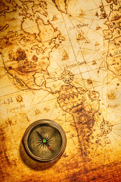
Vintage compass lies on an ancient world map.
Vintage compass lies on an ancient world map. — Stock Photo, Image
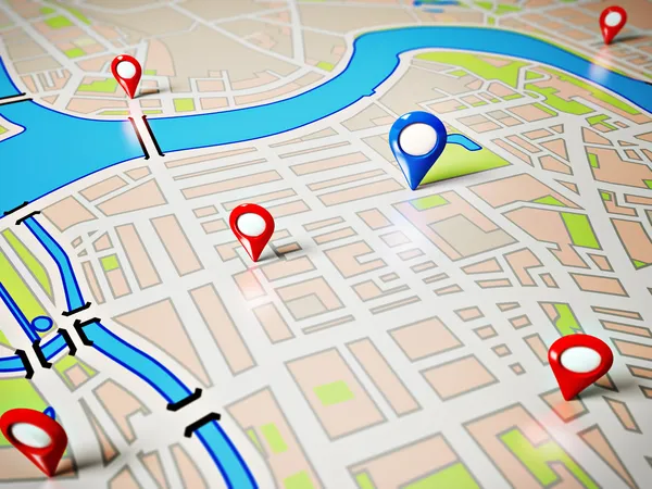
Navigation
Navigation — Stock Photo, Image
Technology and the world
Technology and the world — Stock Photo, Image
Old compass - 3D generated
Old compass - 3D generated — Stock Photo, Image
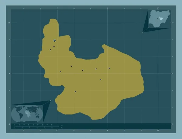
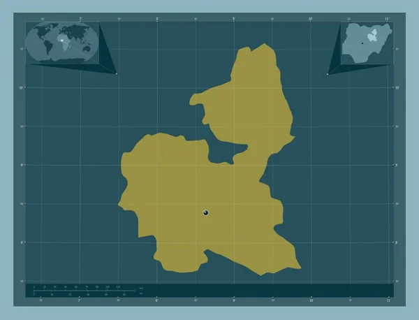
Plateau, state of Nigeria. Solid color shape. Locations of major cities of the region. Corner auxiliary location maps
Plateau State Nigeria Solid Color Shape Locations Major Cities Region — Stock Photo, Image
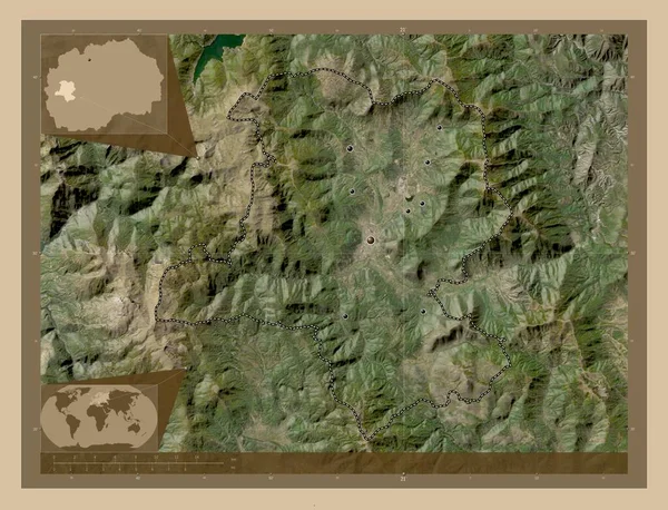
Kicevo, municipality of Macedonia. Low resolution satellite map. Locations of major cities of the region. Corner auxiliary location maps
Kicevo Municipality Macedonia Low Resolution Satellite Map Locations Major Cities — Stock Photo, Image
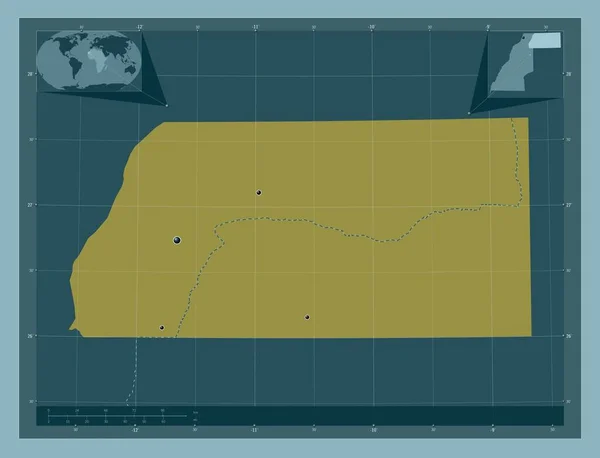
Es Semara, province of Western Sahara. Solid color shape. Locations of major cities of the region. Corner auxiliary location maps
Semara Province Western Sahara Solid Color Shape Locations Major Cities — Stock Photo, Image
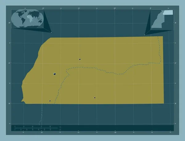
Es Semara, province of Western Sahara. Solid color shape. Locations of major cities of the region. Corner auxiliary location maps
Semara Province Western Sahara Solid Color Shape Locations Major Cities — Stock Photo, Image
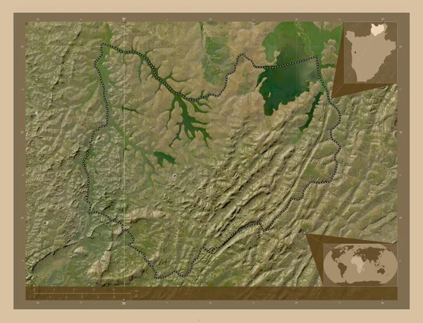
Kirundo, province of Burundi. Low resolution satellite map. Corner auxiliary location maps
Kirundo Province Burundi Low Resolution Satellite Map Corner Auxiliary Location — Stock Photo, Image
Kirundo, province of Burundi. Low resolution satellite map. Locations of major cities of the region. Corner auxiliary location maps
Kirundo Province Burundi Low Resolution Satellite Map Locations Major Cities — Stock Photo, Image
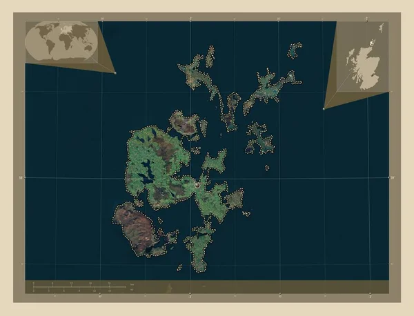
Orkney Islands, region of Scotland - Great Britain. High resolution satellite map. Corner auxiliary location maps
Orkney Islands Region Scotland Great Britain High Resolution Satellite Map — Stock Photo, Image
Antwerpen, province of Belgium. Colored elevation map with lakes and rivers. Locations of major cities of the region. Corner auxiliary location maps
Antwerpen Province Belgium Colored Elevation Map Lakes Rivers Locations Major — Stock Photo, Image
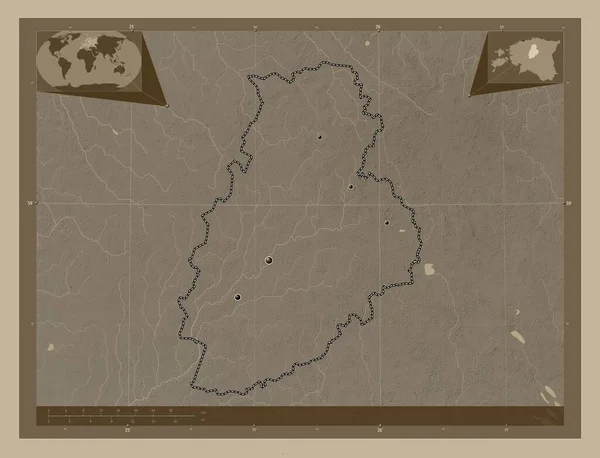
Jarva, county of Estonia. Elevation map colored in sepia tones with lakes and rivers. Locations of major cities of the region. Corner auxiliary location maps
Jarva County Estonia Elevation Map Colored Sepia Tones Lakes Rivers — Stock Photo, Image
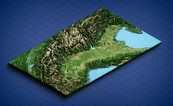
Italian Alpine Arch and Northern Italy, satellite view. Aerial view of the north of the peninsula. Mountains, lakes and plains. Physical map. 3d render.
Italian Alpine Arch Northern Italy Satellite View Aerial View North — Stock Photo, Image
Essequibo Islands-West Demerara, region of Guyana. Solid color shape. Corner auxiliary location maps
Essequibo Islands West Demerara Region Guyana Solid Color Shape Corner — Stock Photo, Image
Al Jifarah, district of Libya. Solid color shape. Corner auxiliary location maps
Jifarah District Libya Solid Color Shape Corner Auxiliary Location Maps — Stock Photo, Image
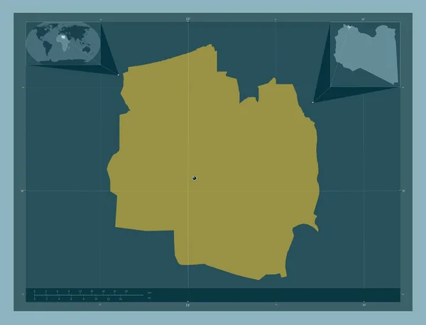
Al Jifarah, district of Libya. Solid color shape. Locations of major cities of the region. Corner auxiliary location maps
Jifarah District Libya Solid Color Shape Locations Major Cities Region — Stock Photo, Image
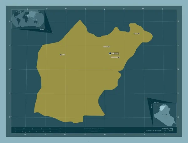
Ninawa, province of Iraq. Solid color shape. Locations and names of major cities of the region. Corner auxiliary location maps
Ninawa Province Iraq Solid Color Shape Locations Names Major Cities — Stock Photo, Image
East Kazakhstan, region of Kazakhstan. Solid color shape. Locations and names of major cities of the region. Corner auxiliary location maps
East Kazakhstan Region Kazakhstan Solid Color Shape Locations Names Major — Stock Photo, Image
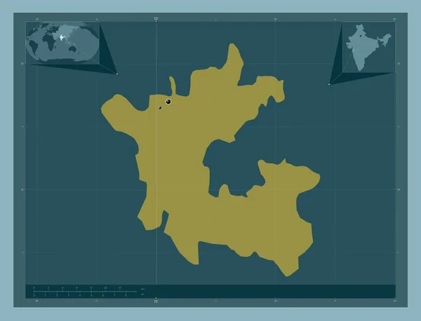
Dadra and Nagar Haveli, union territory of India. Solid color shape. Locations of major cities of the region. Corner auxiliary location maps
Dadra Nagar Haveli Union Territory India Solid Color Shape Locations — Stock Photo, Image
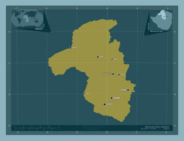
Mashonaland West, province of Zimbabwe. Solid color shape. Locations and names of major cities of the region. Corner auxiliary location maps
Mashonaland West Province Zimbabwe Solid Color Shape Locations Names Major — Stock Photo, Image
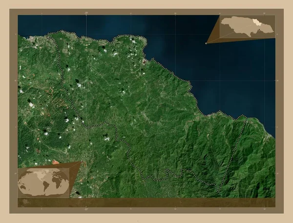
Saint Mary, parish of Jamaica. Low resolution satellite map. Corner auxiliary location maps
Saint Mary Parish Jamaica Low Resolution Satellite Map Corner Auxiliary — Stock Photo, Image
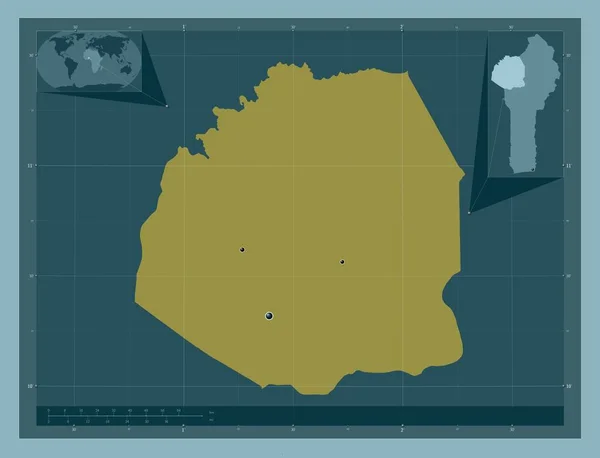
Atakora, department of Benin. Solid color shape. Locations of major cities of the region. Corner auxiliary location maps
Atakora Department Benin Solid Color Shape Locations Major Cities Region — Stock Photo, Image
Aileu, municipality of East Timor. Low resolution satellite map. Locations and names of major cities of the region. Corner auxiliary location maps
Aileu Municipality East Timor Low Resolution Satellite Map Locations Names — Stock Photo, Image
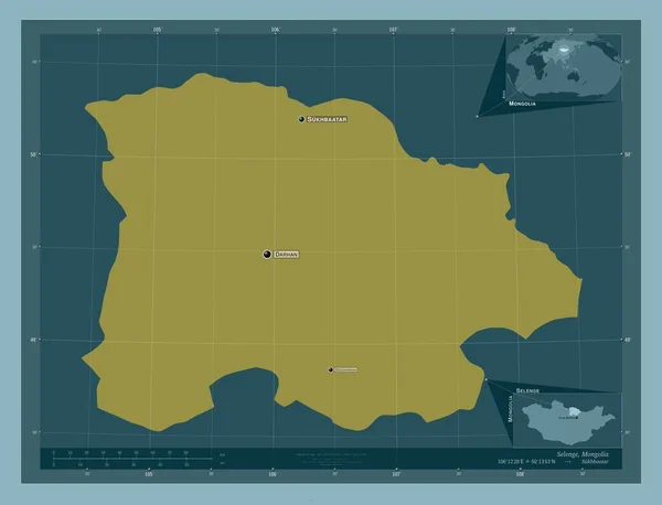
Selenge, province of Mongolia. Solid color shape. Locations and names of major cities of the region. Corner auxiliary location maps
Selenge Province Mongolia Solid Color Shape Locations Names Major Cities — Stock Photo, Image
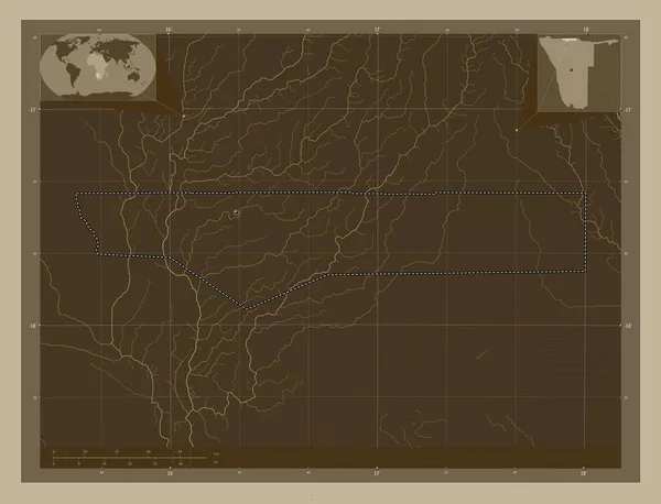
Ohangwena, region of Namibia. Elevation map colored in sepia tones with lakes and rivers. Corner auxiliary location maps
Ohangwena Region Namibia Elevation Map Colored Sepia Tones Lakes Rivers — Stock Photo, Image
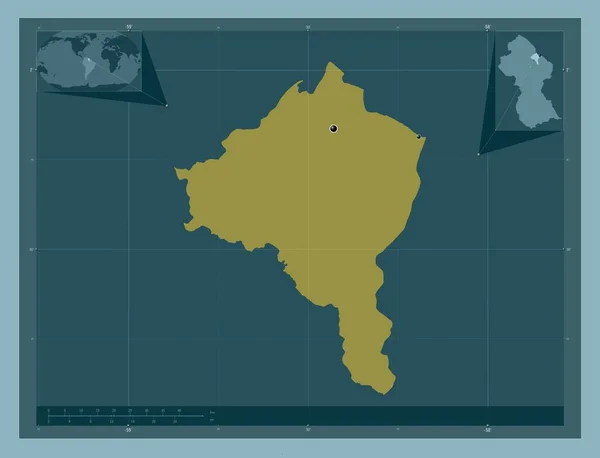
Essequibo Islands-West Demerara, region of Guyana. Solid color shape. Locations of major cities of the region. Corner auxiliary location maps
Essequibo Islands West Demerara Region Guyana Solid Color Shape Locations — Stock Photo, Image
Benghazi, district of Libya. Solid color shape. Corner auxiliary location maps
Benghazi District Libya Solid Color Shape Corner Auxiliary Location Maps — Stock Photo, Image
Bouira, province of Algeria. Elevation map colored in sepia tones with lakes and rivers. Locations of major cities of the region. Corner auxiliary location maps
Bouira Province Algeria Elevation Map Colored Sepia Tones Lakes Rivers — Stock Photo, Image
Djelfa, province of Algeria. Elevation map colored in sepia tones with lakes and rivers. Corner auxiliary location maps
Djelfa Province Algeria Elevation Map Colored Sepia Tones Lakes Rivers — Stock Photo, Image
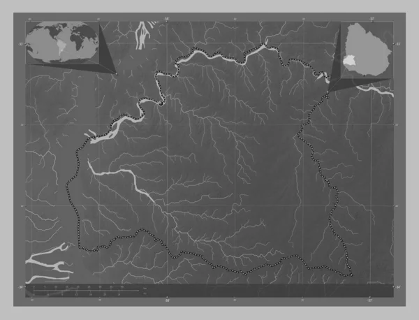
Soriano, department of Uruguay. Grayscale elevation map with lakes and rivers. Corner auxiliary location maps
Soriano Department Uruguay Grayscale Elevation Map Lakes Rivers Corner Auxiliary — Stock Photo, Image
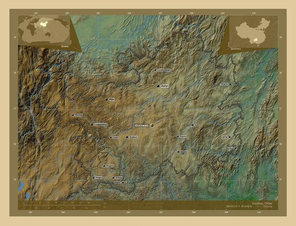
Guizhou, province of China. Colored elevation map with lakes and rivers. Locations and names of major cities of the region. Corner auxiliary location maps
Guizhou Province China Colored Elevation Map Lakes Rivers Locations Names — Stock Photo, Image
Ghanzi, district of Botswana. Elevation map colored in sepia tones with lakes and rivers. Corner auxiliary location maps
Ghanzi District Botswana Elevation Map Colored Sepia Tones Lakes Rivers — Stock Photo, Image
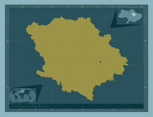
Poltava, region of Ukraine. Solid color shape. Corner auxiliary location maps
Poltava Region Ukraine Solid Color Shape Corner Auxiliary Location Maps — Stock Photo, Image
Galway, county of Ireland. Solid color shape. Locations and names of major cities of the region. Corner auxiliary location maps
Galway County Ireland Solid Color Shape Locations Names Major Cities — Stock Photo, Image
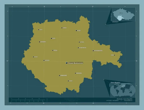
Jihocesky, region of Czech Republic. Solid color shape. Locations and names of major cities of the region. Corner auxiliary location maps
Jihocesky Region Czech Republic Solid Color Shape Locations Names Major — Stock Photo, Image
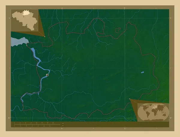
Antwerpen, province of Belgium. Colored elevation map with lakes and rivers. Corner auxiliary location maps
Antwerpen Province Belgium Colored Elevation Map Lakes Rivers Corner Auxiliary — Stock Photo, Image
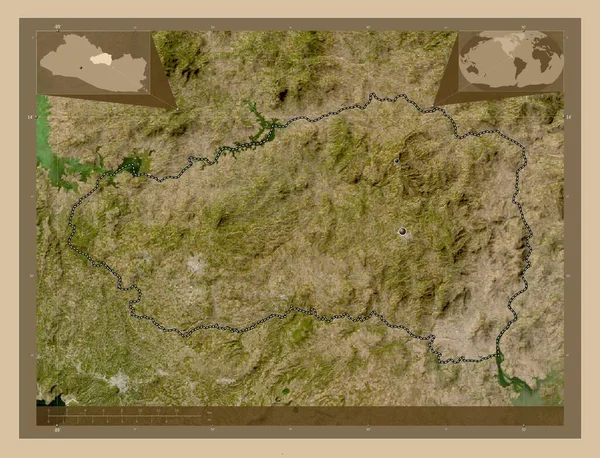
Cabanas, department of El Salvador. Low resolution satellite map. Locations of major cities of the region. Corner auxiliary location maps
Cabanas Department Salvador Low Resolution Satellite Map Locations Major Cities — Stock Photo, Image
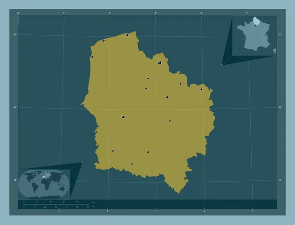
Hauts-de-France, region of France. Solid color shape. Locations of major cities of the region. Corner auxiliary location maps
Hauts France Region France Solid Color Shape Locations Major Cities — Stock Photo, Image
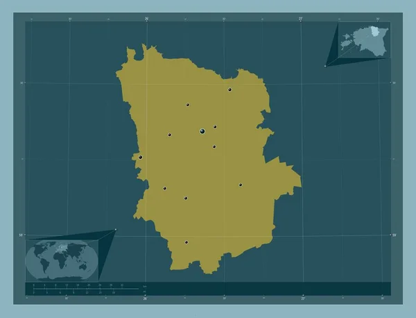
Laane-Viru, county of Estonia. Solid color shape. Locations of major cities of the region. Corner auxiliary location maps
Laane Viru County Estonia Solid Color Shape Locations Major Cities — Stock Photo, Image
Southern Savonia, region of Finland. Colored elevation map with lakes and rivers. Corner auxiliary location maps
Southern Savonia Region Finland Colored Elevation Map Lakes Rivers Corner — Stock Photo, Image
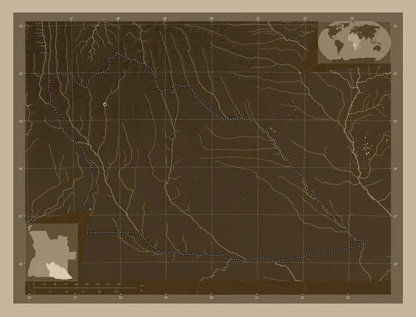
Cuando Cubango, province of Angola. Elevation map colored in sepia tones with lakes and rivers. Locations of major cities of the region. Corner auxiliary location maps
Cuando Cubango Province Angola Elevation Map Colored Sepia Tones Lakes — Stock Photo, Image
Bouira, province of Algeria. Elevation map colored in sepia tones with lakes and rivers. Corner auxiliary location maps
Bouira Province Algeria Elevation Map Colored Sepia Tones Lakes Rivers — Stock Photo, Image
Mondol Kiri, province of Cambodia. Solid color shape. Locations and names of major cities of the region. Corner auxiliary location maps
Mondol Kiri Province Cambodia Solid Color Shape Locations Names Major — Stock Photo, Image
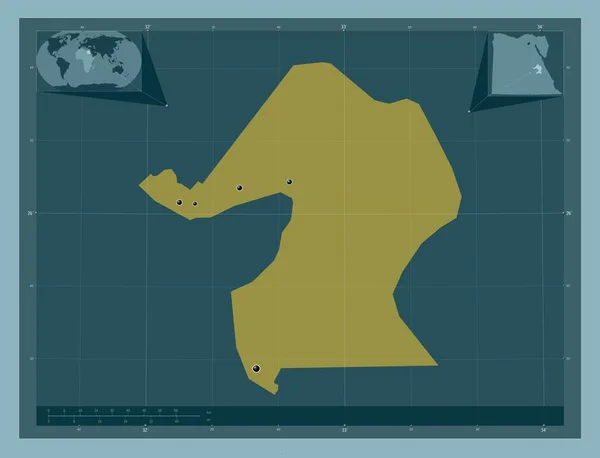
Qina, governorate of Egypt. Solid color shape. Locations of major cities of the region. Corner auxiliary location maps
Qina Governorate Egypt Solid Color Shape Locations Major Cities Region — Stock Photo, Image
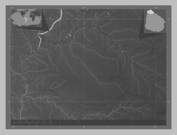
Artigas, department of Uruguay. Grayscale elevation map with lakes and rivers. Corner auxiliary location maps
Artigas Department Uruguay Grayscale Elevation Map Lakes Rivers Corner Auxiliary — Stock Photo, Image
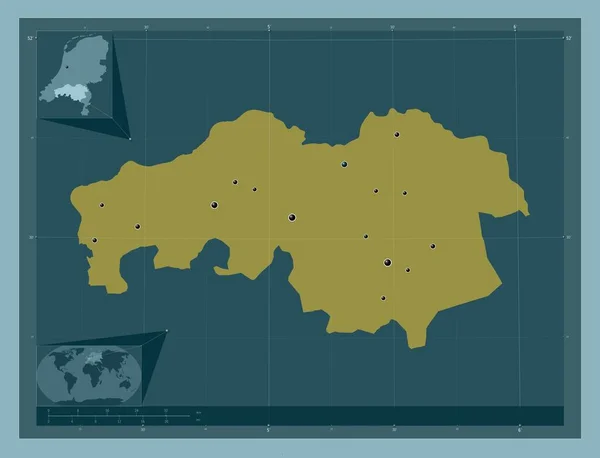
Noord-Brabant, province of Netherlands. Solid color shape. Locations of major cities of the region. Corner auxiliary location maps
Noord Brabant Province Netherlands Solid Color Shape Locations Major Cities — Stock Photo, Image
Bauchi, state of Nigeria. Solid color shape. Corner auxiliary location maps
Bauchi State Nigeria Solid Color Shape Corner Auxiliary Location Maps — Stock Photo, Image
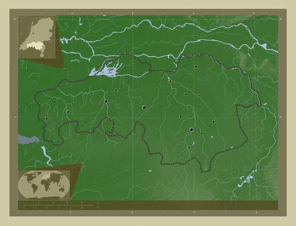
Noord-Brabant, province of Netherlands. Elevation map colored in wiki style with lakes and rivers. Locations of major cities of the region. Corner auxiliary location maps
Noord Brabant Province Netherlands Elevation Map Colored Wiki Style Lakes — Stock Photo, Image
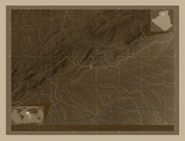
Laghouat, province of Algeria. Elevation map colored in sepia tones with lakes and rivers. Corner auxiliary location maps
Laghouat Province Algeria Elevation Map Colored Sepia Tones Lakes Rivers — Stock Photo, Image
Laghouat, province of Algeria. Elevation map colored in sepia tones with lakes and rivers. Locations of major cities of the region. Corner auxiliary location maps
Laghouat Province Algeria Elevation Map Colored Sepia Tones Lakes Rivers — Stock Photo, Image
Kermanshah, province of Iran. Solid color shape. Locations and names of major cities of the region. Corner auxiliary location maps
Kermanshah Province Iran Solid Color Shape Locations Names Major Cities — Stock Photo, Image
Daglig-Shirvan, region of Azerbaijan. Solid color shape. Corner auxiliary location maps
Daglig Shirvan Region Azerbaijan Solid Color Shape Corner Auxiliary Location — Stock Photo, Image
Caska, municipality of Macedonia. Solid color shape. Corner auxiliary location maps
Caska Municipality Macedonia Solid Color Shape Corner Auxiliary Location Maps — Stock Photo, Image
Kalimantan Barat, province of Indonesia. Low resolution satellite map. Locations and names of major cities of the region. Corner auxiliary location maps
Kalimantan Barat Province Indonesia Low Resolution Satellite Map Locations Names — Stock Photo, Image
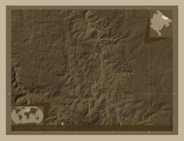
Bijelo Polje, municipality of Montenegro. Elevation map colored in sepia tones with lakes and rivers. Corner auxiliary location maps
Bijelo Polje Municipality Montenegro Elevation Map Colored Sepia Tones Lakes — Stock Photo, Image
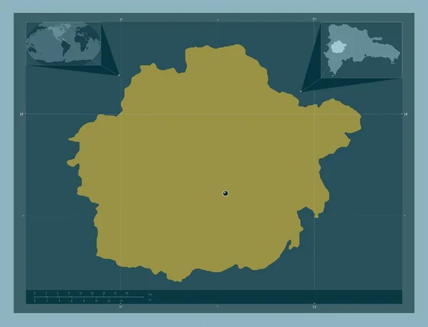
San Juan, province of Dominican Republic. Solid color shape. Corner auxiliary location maps
San Juan Province Dominican Republic Solid Color Shape Corner Auxiliary — Stock Photo, Image
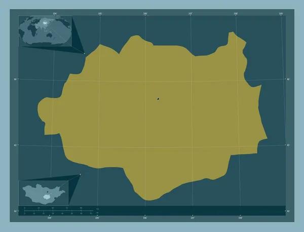
Dundgovi, province of Mongolia. Solid color shape. Corner auxiliary location maps
Dundgovi Province Mongolia Solid Color Shape Corner Auxiliary Location Maps — Stock Photo, Image
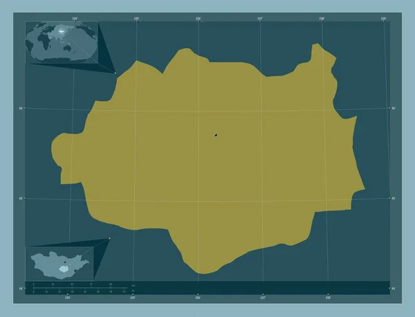
Dundgovi, province of Mongolia. Solid color shape. Locations of major cities of the region. Corner auxiliary location maps
Dundgovi Province Mongolia Solid Color Shape Locations Major Cities Region — Stock Photo, Image
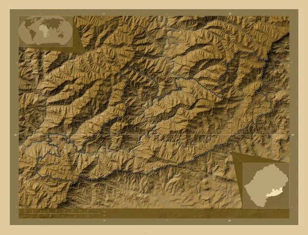
Qacha's Nek, district of Lesotho. Colored elevation map with lakes and rivers. Corner auxiliary location maps
Qacha Nek District Lesotho Colored Elevation Map Lakes Rivers Corner — Stock Photo, Image
Qacha's Nek, district of Lesotho. Colored elevation map with lakes and rivers. Locations of major cities of the region. Corner auxiliary location maps
Qacha Nek District Lesotho Colored Elevation Map Lakes Rivers Locations — Stock Photo, Image
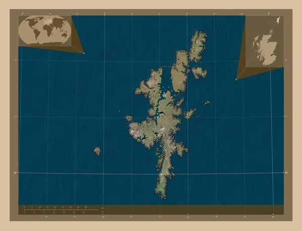
Shetland Islands, region of Scotland - Great Britain. Low resolution satellite map. Corner auxiliary location maps
Shetland Islands Region Scotland Great Britain Low Resolution Satellite Map — Stock Photo, Image
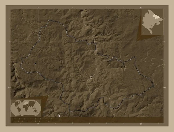
Bijelo Polje, municipality of Montenegro. Elevation map colored in sepia tones with lakes and rivers. Locations of major cities of the region. Corner auxiliary location maps
Bijelo Polje Municipality Montenegro Elevation Map Colored Sepia Tones Lakes — Stock Photo, Image
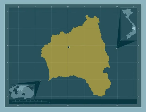
Gia Lai, province of Vietnam. Solid color shape. Corner auxiliary location maps
Gia Lai Province Vietnam Solid Color Shape Corner Auxiliary Location — Stock Photo, Image
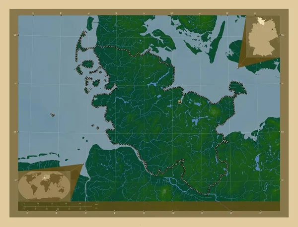
Schleswig-Holstein, state of Germany. Colored elevation map with lakes and rivers. Corner auxiliary location maps
Schleswig Holstein State Germany Colored Elevation Map Lakes Rivers Corner — Stock Photo, Image
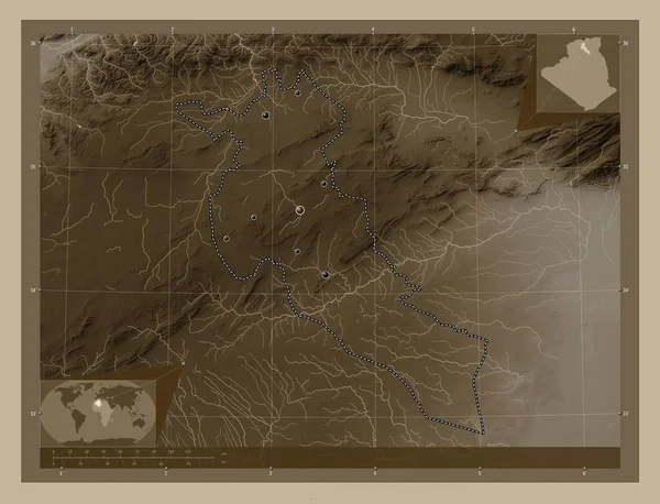
Djelfa, province of Algeria. Elevation map colored in sepia tones with lakes and rivers. Locations of major cities of the region. Corner auxiliary location maps
Djelfa Province Algeria Elevation Map Colored Sepia Tones Lakes Rivers — Stock Photo, Image
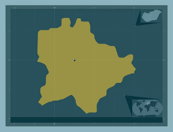
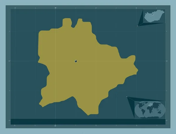
Budapest, capital city of Hungary. Solid color shape. Locations of major cities of the region. Corner auxiliary location maps
Budapest Capital City Hungary Solid Color Shape Locations Major Cities — Stock Photo, Image
Budapest, capital city of Hungary. Solid color shape. Corner auxiliary location maps
Budapest Capital City Hungary Solid Color Shape Corner Auxiliary Location — Stock Photo, Image
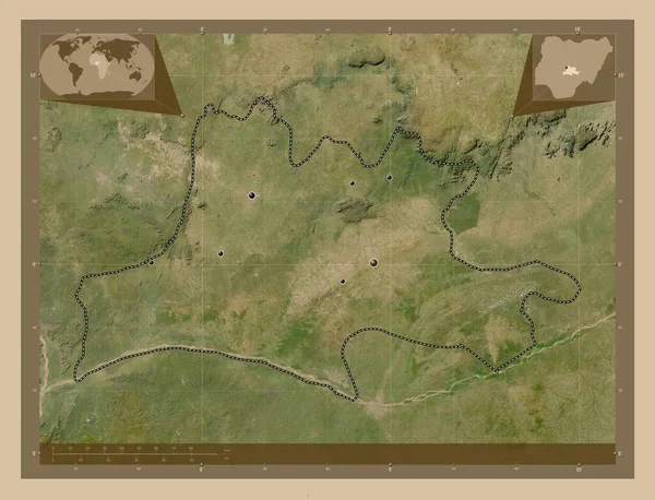
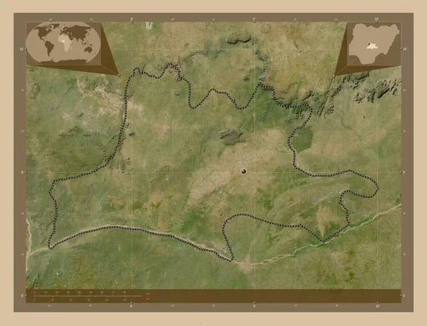
Nassarawa, state of Nigeria. Low resolution satellite map. Locations of major cities of the region. Corner auxiliary location maps
Nassarawa State Nigeria Low Resolution Satellite Map Locations Major Cities — Stock Photo, Image
Hormozgan, province of Iran. Low resolution satellite map. Locations of major cities of the region. Corner auxiliary location maps
Hormozgan Province Iran Low Resolution Satellite Map Locations Major Cities — Stock Photo, Image
Nassarawa, state of Nigeria. Low resolution satellite map. Corner auxiliary location maps
Nassarawa State Nigeria Low Resolution Satellite Map Corner Auxiliary Location — Stock Photo, Image
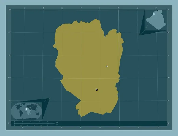
Naama, province of Algeria. Solid color shape. Locations of major cities of the region. Corner auxiliary location maps
Naama Province Algeria Solid Color Shape Locations Major Cities Region — Stock Photo, Image
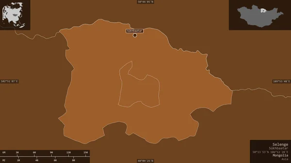
Selenge, province of Mongolia. Patterned solids with lakes and rivers. Shape presented against its country area with informative overlays. 3D rendering
Selenge Province Mongolia Patterned Solids Lakes Rivers Shape Presented Its — Stock Photo, Image

Related image searches

Map Background Images: Enhancing Your Designs with Stunning Visuals

Welcome to our comprehensive collection of stock images, exclusively tailored for your creative projects. In this search page overview, we present you a diverse range of map background images that are bound to captivate and elevate your designs. Whether you're a graphic designer, website developer, or marketing professional, these high-quality visuals are at your disposal, ready to breathe life into your work.

Stunning Visuals for Various Projects

Our curated collection offers a wide range of map background images that cater to various project needs. With formats like JPG, AI, and EPS on offer, you have the flexibility to choose the file type that best aligns with your requirements. Whether you're designing an interactive website, creating captivating infographics, or developing geographically-themed marketing materials, our images will undoubtedly provide the impactful visual foundation you seek.

For those in need of map backgrounds for websites, our JPG format images are perfect for creating visually appealing landing pages, about sections, or contact pages. Their vibrant colors and intricate details make them stand out, enhancing the overall appearance of your site and providing a memorable user experience.

If you're working on a project that requires scalability without compromising image quality, our AI and EPS formats are the ideal choice. These vector-based images can be easily resized to suit your needs, ensuring sharpness and clarity at any scale. Additionally, they are perfect for creating unique logos, brochures, or large-scale print materials, delivering a polished and professional look.

Selecting the Right Map Background Image

When selecting a map background image for your project, it's essential to consider the specific characteristics that will complement your design concept. With our vast range of options, you have the opportunity to get creative and choose an image that aligns perfectly with your vision.

One consideration is the style of the map. Are you looking for a vintage aesthetic, a modern and sleek design, or a topographic representation? Understanding the desired style will help narrow down your options and ensure a cohesive and visually appealing final product.

Another factor to consider is the level of detail. Are you seeking a highly-detailed map with intricate borders and landmarks, or do you prefer a simplified version with minimal distractions? Both approaches have their merits, depending on the context of your project, so choose accordingly to achieve the intended impact.

Lastly, think about the color scheme that complements your overall design. Do you prefer vibrant and bold hues, or would a more muted and subtle palette better suit your project? By selecting a map background image that harmonizes with your color scheme, you ensure a cohesive visual experience that resonates with your audience.

Practical Tips for Image Utilization

Now that you have an array of visually stunning map background images at your disposal, it's essential to use them effectively in your projects. Here are some practical tips to make the most of these visuals:

1. Consider the visual hierarchy: Position the map background image strategically to guide the viewer's attention and highlight key elements of your design. Ensure that the image does not overpower the main message or content.

2. Use contrast intelligently: If incorporating text or other design elements on top of the map background image, consider using contrasting colors to ensure readability and optimal visual impact.

3. Adapt to various screen sizes: When designing for websites or digital platforms, remember to test the responsiveness of your chosen map background image. Ensure it maintains its visual appeal across different devices and screen sizes.

4. Experiment with blending modes: Take advantage of advanced design tools to explore blending modes and overlays. By applying different effects to the map background image, you can create unique visual aesthetics that amplify its impact and fit seamlessly into your overall design.

By following these tips and embracing your creative instincts, you will harness the power of our map background images to elevate your designs and captivate your audience.

Start exploring our collection now and unlock a world of visual possibilities with our stock map background images!