Pushpin icon isolated on white background
Pushpin icon isolated on white background — Stock Photo, Image
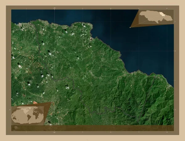
Saint Mary, parish of Jamaica. Low resolution satellite map. Corner auxiliary location maps
Saint Mary Parish Jamaica Low Resolution Satellite Map Corner Auxiliary — Stock Photo, Image
Saint Mary, parish of Jamaica. Low resolution satellite map. Locations of major cities of the region. Corner auxiliary location maps
Saint Mary Parish Jamaica Low Resolution Satellite Map Locations Major — Stock Photo, Image
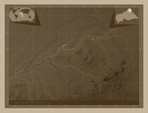
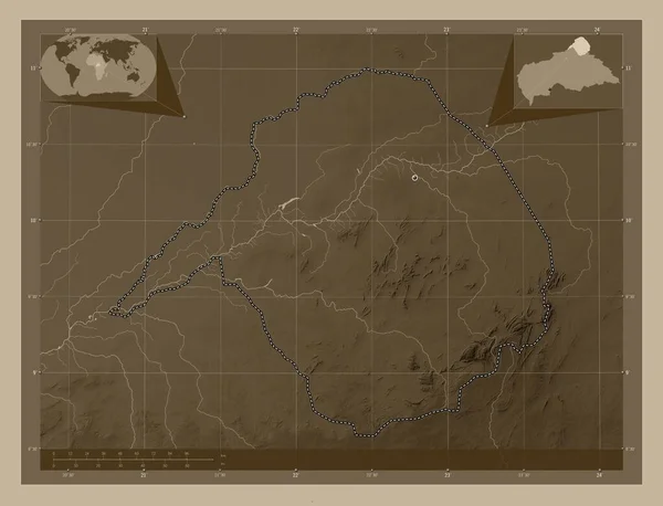
Vakaga, prefecture of Central African Republic. Elevation map colored in sepia tones with lakes and rivers. Corner auxiliary location maps
Vakaga Prefecture Central African Republic Elevation Map Colored Sepia Tones — Stock Photo, Image
Vakaga, prefecture of Central African Republic. Elevation map colored in sepia tones with lakes and rivers. Locations of major cities of the region. Corner auxiliary location maps
Vakaga Prefecture Central African Republic Elevation Map Colored Sepia Tones — Stock Photo, Image
Area of Pando, department of Bolivia, isolated on a solid background in a georeferenced bounding box. Labels. Satellite imagery. 3D rendering
Area Pando Department Bolivia Isolated Solid Background Georeferenced Bounding Box — Stock Photo, Image
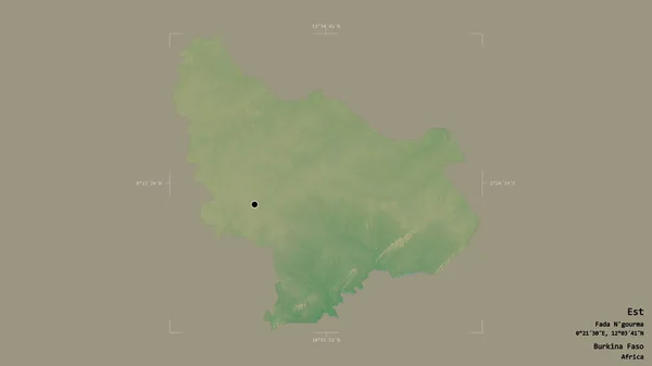
Area of Est, region of Burkina Faso, isolated on a solid background in a georeferenced bounding box. Labels. Topographic relief map. 3D rendering
Area Est Region Burkina Faso Isolated Solid Background Georeferenced Bounding — Stock Photo, Image
Area of Sahel, region of Burkina Faso, isolated on a solid background in a georeferenced bounding box. Labels. Topographic relief map. 3D rendering
Area Sahel Region Burkina Faso Isolated Solid Background Georeferenced Bounding — Stock Photo, Image
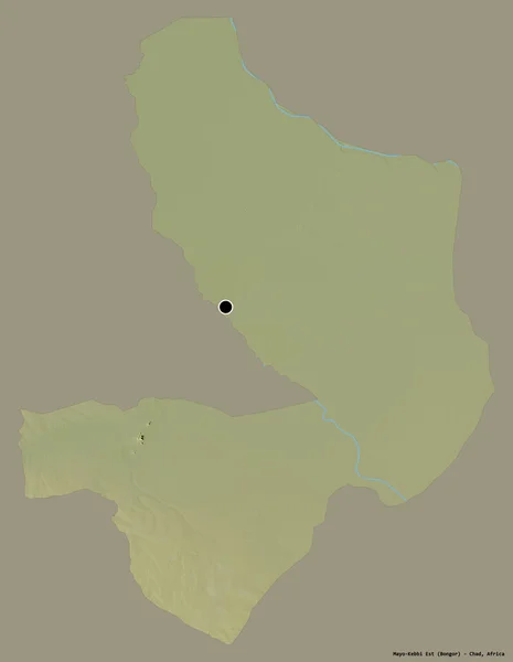
Shape of Mayo-Kebbi Est, region of Chad, with its capital isolated on a solid color background. Topographic relief map. 3D rendering
Shape Mayo Kebbi Est Region Chad Its Capital Isolated Solid — Stock Photo, Image
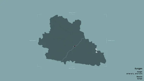
Area of Kurgan, region of Russia, isolated on a solid background in a georeferenced bounding box. Labels. Colored elevation map. 3D rendering
Area Kurgan Region Russia Isolated Solid Background Georeferenced Bounding Box — Stock Photo, Image
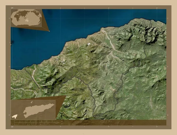
Oecusse, municipality of East Timor. Low resolution satellite map. Corner auxiliary location maps
Oecusse Municipality East Timor Low Resolution Satellite Map Corner Auxiliary — Stock Photo, Image
Oecusse, municipality of East Timor. Low resolution satellite map. Locations of major cities of the region. Corner auxiliary location maps
Oecusse Municipality East Timor Low Resolution Satellite Map Locations Major — Stock Photo, Image
Benghazi, district of Libya. Elevation map colored in wiki style with lakes and rivers. Locations of major cities of the region. Corner auxiliary location maps
Benghazi District Libya Elevation Map Colored Wiki Style Lakes Rivers — Stock Photo, Image
Shape of Ruse, province of Bulgaria, with its capital isolated on a solid color background. Satellite imagery. 3D rendering
Shape Ruse Province Bulgaria Its Capital Isolated Solid Color Background — Stock Photo, Image
Haut-Uele, province of Democratic Republic of the Congo. Elevation map colored in sepia tones with lakes and rivers. Corner auxiliary location maps
Haut Uele Province Democratic Republic Congo Elevation Map Colored Sepia — Stock Photo, Image
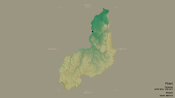
Area of Piaui, state of Brazil, isolated on a solid background in a georeferenced bounding box. Labels. Topographic relief map. 3D rendering
Area Piaui State Brazil Isolated Solid Background Georeferenced Bounding Box — Stock Photo, Image
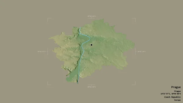
Area of Prague, region of Czech Republic, isolated on a solid background in a georeferenced bounding box. Labels. Topographic relief map. 3D rendering
Area Prague Region Czech Republic Isolated Solid Background Georeferenced Bounding — Stock Photo, Image
Area of Barnsley, administrative county of England, isolated on a solid background in a georeferenced bounding box. Labels. Colored elevation map. 3D rendering
Area Barnsley Administrative County England Isolated Solid Background Georeferenced Bounding — Stock Photo, Image
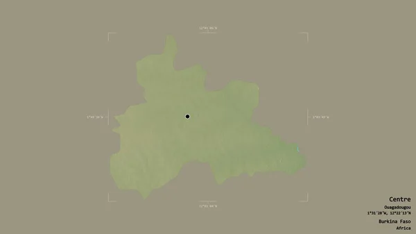
Area of Centre, region of Burkina Faso, isolated on a solid background in a georeferenced bounding box. Labels. Topographic relief map. 3D rendering
Area Centre Region Burkina Faso Isolated Solid Background Georeferenced Bounding — Stock Photo, Image
Area of Biombo, region of Guinea-Bissau, isolated on a solid background in a georeferenced bounding box. Labels. Colored elevation map. 3D rendering
Area Biombo Region Guinea Bissau Isolated Solid Background Georeferenced Bounding — Stock Photo, Image
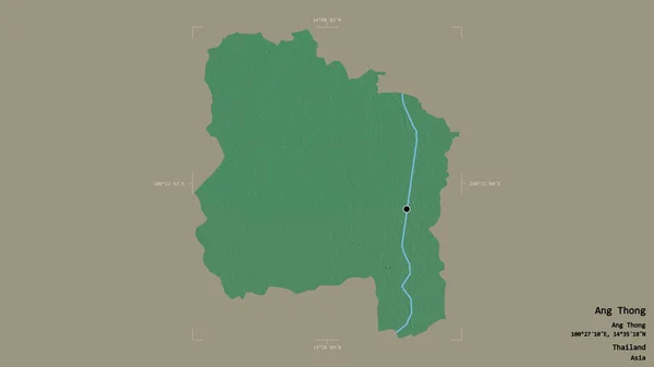
Area of Ang Thong, province of Thailand, isolated on a solid background in a georeferenced bounding box. Labels. Topographic relief map. 3D rendering
Area Ang Thong Province Thailand Isolated Solid Background Georeferenced Bounding — Stock Photo, Image
Est, region of Burkina Faso. Colored elevation map with lakes and rivers. Corner auxiliary location maps
Est Region Burkina Faso Colored Elevation Map Lakes Rivers Corner — Stock Photo, Image
Shape of odz, voivodeship of Poland, with its capital isolated on a solid color background. Colored elevation map. 3D rendering
Shape Odz Voivodeship Poland Its Capital Isolated Solid Color Background — Stock Photo, Image
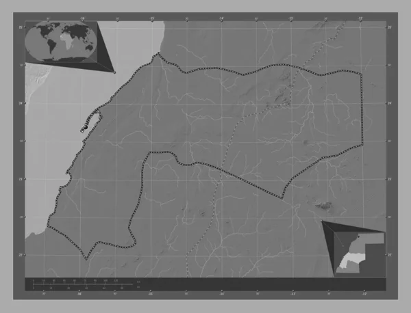
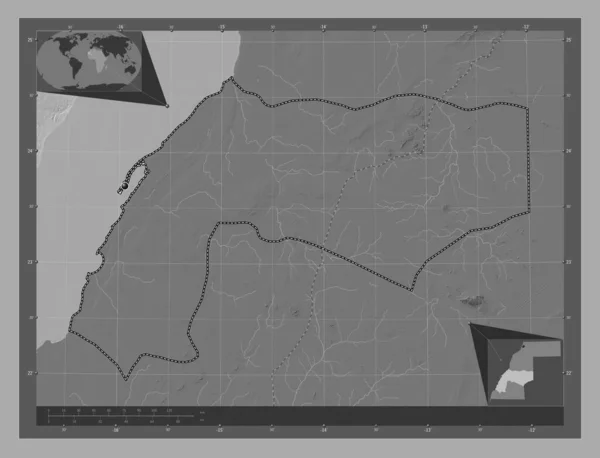
Dakhla-Oued Ed-Dahab, province of Western Sahara. Bilevel elevation map with lakes and rivers. Corner auxiliary location maps
Dakhla Oued Dahab Province Western Sahara Bilevel Elevation Map Lakes — Stock Photo, Image
Dakhla-Oued Ed-Dahab, province of Western Sahara. Bilevel elevation map with lakes and rivers. Corner auxiliary location maps
Dakhla Oued Dahab Province Western Sahara Bilevel Elevation Map Lakes — Stock Photo, Image
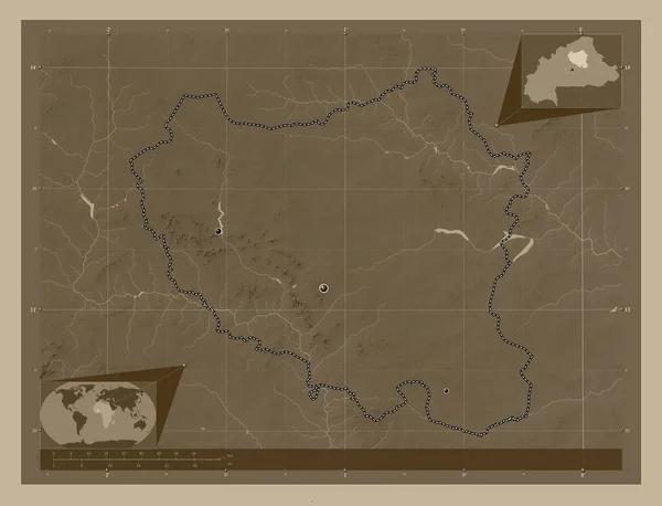
Centre-Nord, region of Burkina Faso. Elevation map colored in sepia tones with lakes and rivers. Locations of major cities of the region. Corner auxiliary location maps
Centre Nord Region Burkina Faso Elevation Map Colored Sepia Tones — Stock Photo, Image
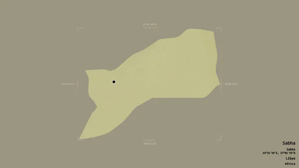
Area of Sabha, district of Libya, isolated on a solid background in a georeferenced bounding box. Labels. Topographic relief map. 3D rendering
Area Sabha District Libya Isolated Solid Background Georeferenced Bounding Box — Stock Photo, Image
Ouaddai, region of Chad. Bilevel elevation map with lakes and rivers. Locations and names of major cities of the region. Corner auxiliary location maps
Ouaddai Region Chad Bilevel Elevation Map Lakes Rivers Locations Names — Stock Photo, Image
Shape of Umujyi wa Kigali, province of Rwanda, with its capital isolated on solid background. Distance scale, region preview and labels. Satellite imagery. 3D rendering
Shape Umujyi Kigali Province Rwanda Its Capital Isolated Solid Background — Stock Photo, Image
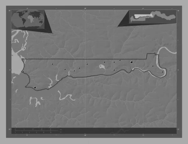
North Bank, division of Gambia. Bilevel elevation map with lakes and rivers. Locations of major cities of the region. Corner auxiliary location maps
North Bank Division Gambia Bilevel Elevation Map Lakes Rivers Locations — Stock Photo, Image
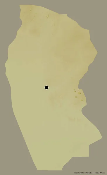
Shape of West Kurdufan, state of Sudan, with its capital isolated on a solid color background. Topographic relief map. 3D rendering
Shape West Kurdufan State Sudan Its Capital Isolated Solid Color — Stock Photo, Image
Shape of Batha, region of Chad, with its capital isolated on a solid color background. Topographic relief map. 3D rendering
Shape Batha Region Chad Its Capital Isolated Solid Color Background — Stock Photo, Image
Area of Jharkhand, state of India, isolated on a solid background in a georeferenced bounding box. Labels. Colored elevation map. 3D rendering
Area Jharkhand State India Isolated Solid Background Georeferenced Bounding Box — Stock Photo, Image
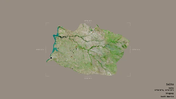
Area of Salto, department of Uruguay, isolated on a solid background in a georeferenced bounding box. Labels. Satellite imagery. 3D rendering
Area Salto Department Uruguay Isolated Solid Background Georeferenced Bounding Box — Stock Photo, Image
Area of Jihomoravsky, region of Czech Republic, isolated on a solid background in a georeferenced bounding box. Labels. Topographic relief map. 3D rendering
Area Jihomoravsky Region Czech Republic Isolated Solid Background Georeferenced Bounding — Stock Photo, Image
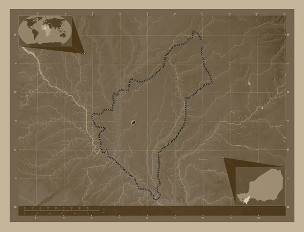
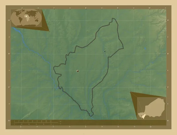
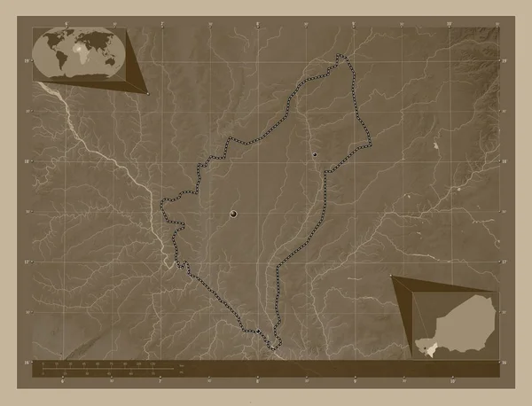
Dosso, department of Niger. Elevation map colored in sepia tones with lakes and rivers. Corner auxiliary location maps
Dosso Department Niger Elevation Map Colored Sepia Tones Lakes Rivers — Stock Photo, Image
Kalimantan Tengah, province of Indonesia. Low resolution satellite map. Locations of major cities of the region. Corner auxiliary location maps
Kalimantan Tengah Province Indonesia Low Resolution Satellite Map Locations Major — Stock Photo, Image
Kalimantan Tengah, province of Indonesia. Low resolution satellite map. Corner auxiliary location maps
Kalimantan Tengah Province Indonesia Low Resolution Satellite Map Corner Auxiliary — Stock Photo, Image
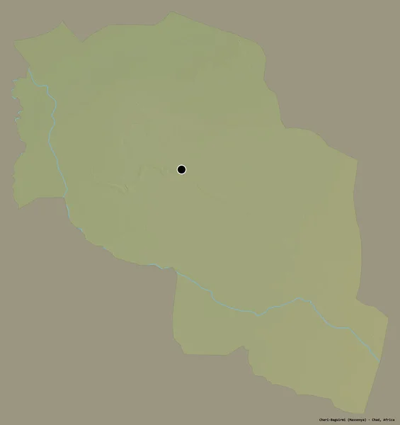
Shape of Chari-Baguirmi, region of Chad, with its capital isolated on a solid color background. Topographic relief map. 3D rendering
Shape Chari Baguirmi Region Chad Its Capital Isolated Solid Color — Stock Photo, Image
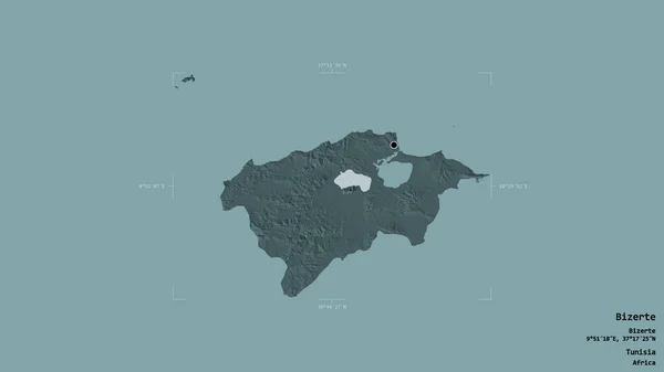
Area of Bizerte, governorate of Tunisia, isolated on a solid background in a georeferenced bounding box. Labels. Topographic relief map. 3D rendering
Area Bizerte Governorate Tunisia Isolated Solid Background Georeferenced Bounding Box — Stock Photo, Image
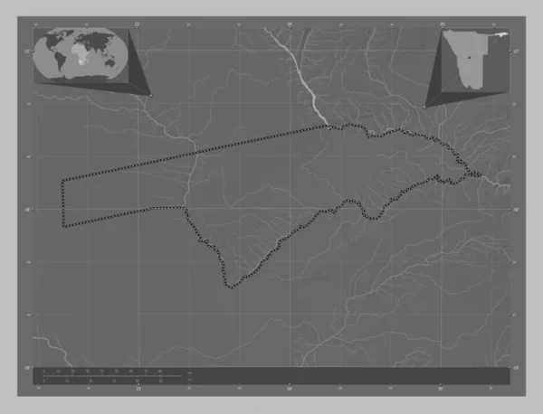
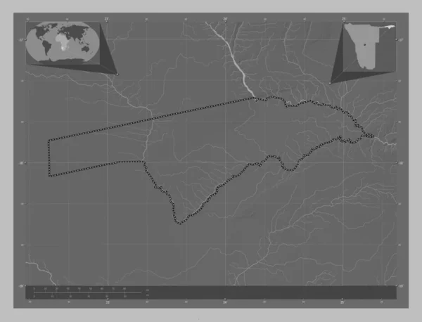
Zambezi, region of Namibia. Grayscale elevation map with lakes and rivers. Corner auxiliary location maps
Zambezi Region Namibia Grayscale Elevation Map Lakes Rivers Corner Auxiliary — Stock Photo, Image
Zambezi, region of Namibia. Grayscale elevation map with lakes and rivers. Locations of major cities of the region. Corner auxiliary location maps
Zambezi Region Namibia Grayscale Elevation Map Lakes Rivers Locations Major — Stock Photo, Image
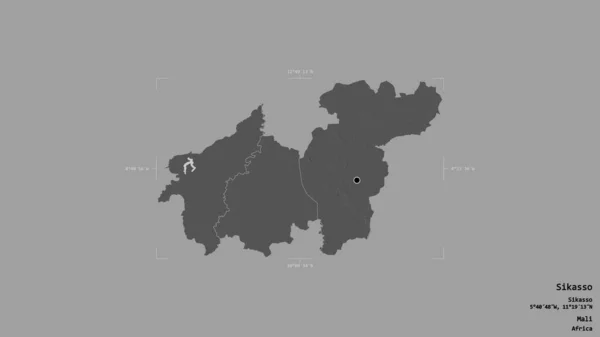
Area of Sikasso, region of Mali, isolated on a solid background in a georeferenced bounding box. Labels. Bilevel elevation map. 3D rendering
Area Sikasso Region Mali Isolated Solid Background Georeferenced Bounding Box — Stock Photo, Image
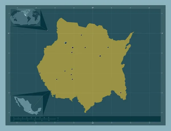
Morelos, state of Mexico. Solid color shape. Locations of major cities of the region. Corner auxiliary location maps
Morelos State Mexico Solid Color Shape Locations Major Cities Region — Stock Photo, Image
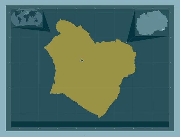
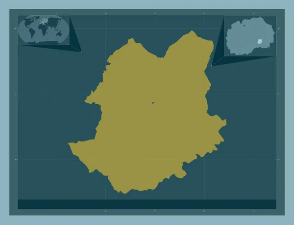
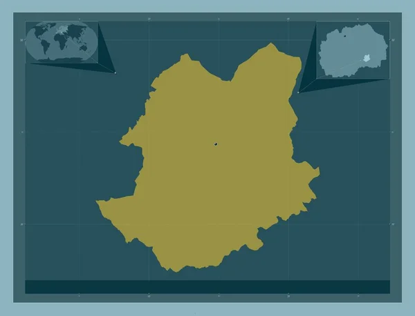
Bogdanci, municipality of Macedonia. Solid color shape. Corner auxiliary location maps
Bogdanci Municipality Macedonia Solid Color Shape Corner Auxiliary Location Maps — Stock Photo, Image
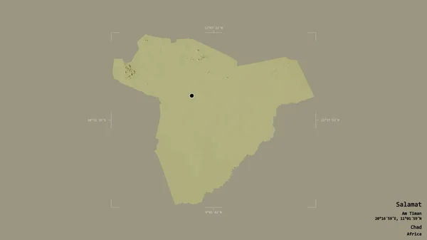
Area of Salamat, region of Chad, isolated on a solid background in a georeferenced bounding box. Labels. Topographic relief map. 3D rendering
Area Salamat Region Chad Isolated Solid Background Georeferenced Bounding Box — Stock Photo, Image
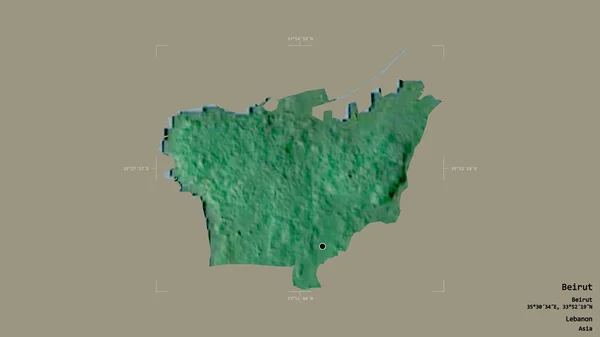
Area of Beirut, governorate of Lebanon, isolated on a solid background in a georeferenced bounding box. Labels. Topographic relief map. 3D rendering
Area Beirut Governorate Lebanon Isolated Solid Background Georeferenced Bounding Box — Stock Photo, Image
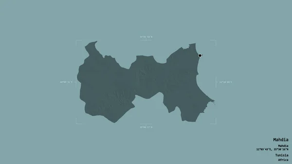
Area of Mahdia, governorate of Tunisia, isolated on a solid background in a georeferenced bounding box. Labels. Colored elevation map. 3D rendering
Area Mahdia Governorate Tunisia Isolated Solid Background Georeferenced Bounding Box — Stock Photo, Image
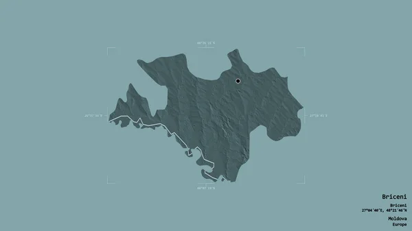
Area of Briceni, district of Moldova, isolated on a solid background in a georeferenced bounding box. Labels. Colored elevation map. 3D rendering
Area Briceni District Moldova Isolated Solid Background Georeferenced Bounding Box — Stock Photo, Image
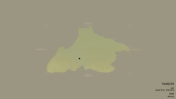
Area of Tandjile, region of Chad, isolated on a solid background in a georeferenced bounding box. Labels. Topographic relief map. 3D rendering
Area Tandjile Region Chad Isolated Solid Background Georeferenced Bounding Box — Stock Photo, Image
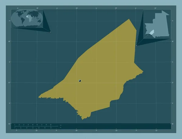
Brakna, region of Mauritania. Solid color shape. Corner auxiliary location maps
Brakna Region Mauritania Solid Color Shape Corner Auxiliary Location Maps — Stock Photo, Image
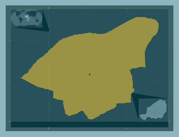
Niamey, capital district of Niger. Solid color shape. Corner auxiliary location maps
Niamey Capital District Niger Solid Color Shape Corner Auxiliary Location — Stock Photo, Image
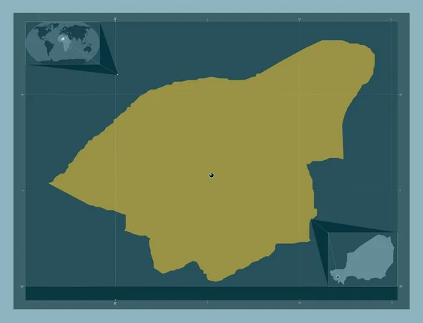
Niamey, capital district of Niger. Solid color shape. Locations of major cities of the region. Corner auxiliary location maps
Niamey Capital District Niger Solid Color Shape Locations Major Cities — Stock Photo, Image
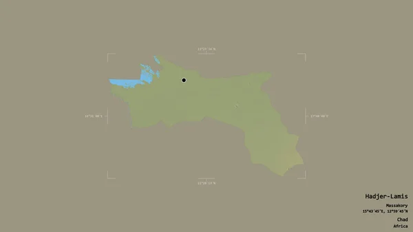
Area of Hadjer-Lamis, region of Chad, isolated on a solid background in a georeferenced bounding box. Labels. Topographic relief map. 3D rendering
Area Hadjer Lamis Region Chad Isolated Solid Background Georeferenced Bounding — Stock Photo, Image
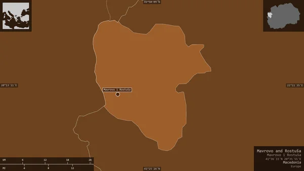
Mavrovo and Rostusa, municipality of Macedonia. Patterned solids with lakes and rivers. Shape presented against its country area with informative overlays. 3D rendering
Mavrovo Rostusa Municipality Macedonia Patterned Solids Lakes Rivers Shape Presented — Stock Photo, Image
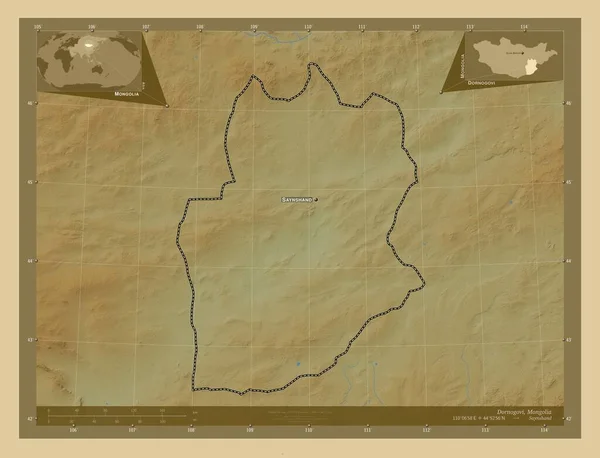
Dornogovi, province of Mongolia. Colored elevation map with lakes and rivers. Locations and names of major cities of the region. Corner auxiliary location maps
Dornogovi Province Mongolia Colored Elevation Map Lakes Rivers Locations Names — Stock Photo, Image
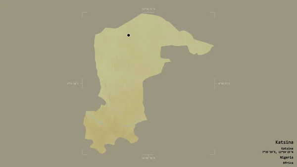
Area of Katsina, state of Nigeria, isolated on a solid background in a georeferenced bounding box. Labels. Topographic relief map. 3D rendering
Area Katsina State Nigeria Isolated Solid Background Georeferenced Bounding Box — Stock Photo, Image
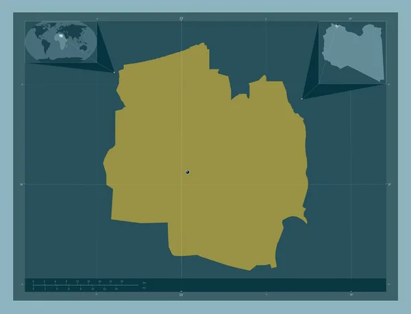
Al Jifarah, district of Libya. Solid color shape. Corner auxiliary location maps
Jifarah District Libya Solid Color Shape Corner Auxiliary Location Maps — Stock Photo, Image
Al Jifarah, district of Libya. Solid color shape. Locations of major cities of the region. Corner auxiliary location maps
Jifarah District Libya Solid Color Shape Locations Major Cities Region — Stock Photo, Image
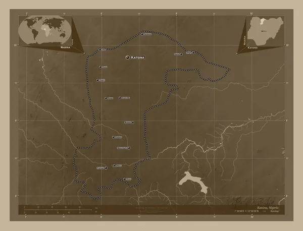
Katsina, state of Nigeria. Elevation map colored in sepia tones with lakes and rivers. Locations and names of major cities of the region. Corner auxiliary location maps
Katsina State Nigeria Elevation Map Colored Sepia Tones Lakes Rivers — Stock Photo, Image
Karbala', province of Iraq. Solid color shape. Locations of major cities of the region. Corner auxiliary location maps
Karbala Province Iraq Solid Color Shape Locations Major Cities Region — Stock Photo, Image
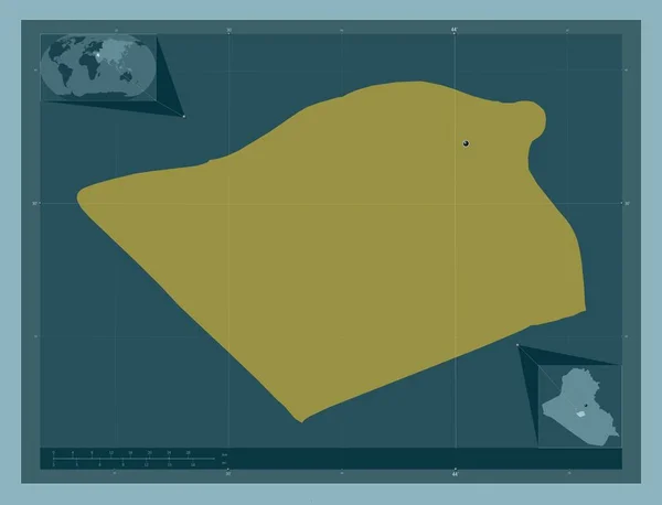
Karbala', province of Iraq. Solid color shape. Corner auxiliary location maps
Karbala Province Iraq Solid Color Shape Corner Auxiliary Location Maps — Stock Photo, Image
Gombe, state of Nigeria. Elevation map colored in sepia tones with lakes and rivers. Corner auxiliary location maps
Gombe State Nigeria Elevation Map Colored Sepia Tones Lakes Rivers — Stock Photo, Image
Area of Bizerte, governorate of Tunisia, isolated on a solid background in a georeferenced bounding box. Labels. Colored elevation map. 3D rendering
Area Bizerte Governorate Tunisia Isolated Solid Background Georeferenced Bounding Box — Stock Photo, Image
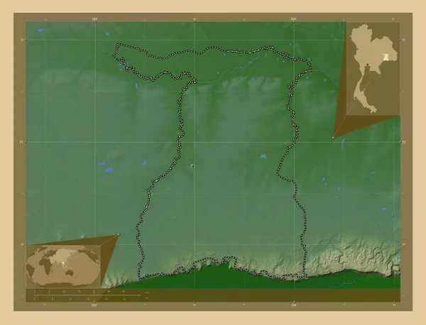
Surin, province of Thailand. Colored elevation map with lakes and rivers. Corner auxiliary location maps
Surin Province Thailand Colored Elevation Map Lakes Rivers Corner Auxiliary — Stock Photo, Image
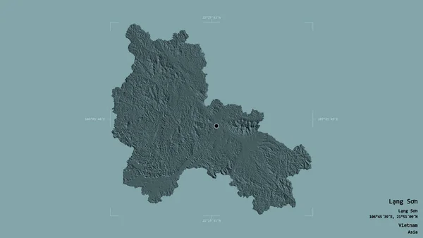
Area of Lang Son, province of Vietnam, isolated on a solid background in a georeferenced bounding box. Labels. Colored elevation map. 3D rendering
Area Lang Son Province Vietnam Isolated Solid Background Georeferenced Bounding — Stock Photo, Image
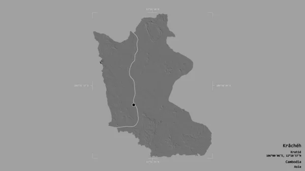
Area of Kracheh, province of Cambodia, isolated on a solid background in a georeferenced bounding box. Labels. Bilevel elevation map. 3D rendering
Area Kracheh Province Cambodia Isolated Solid Background Georeferenced Bounding Box — Stock Photo, Image
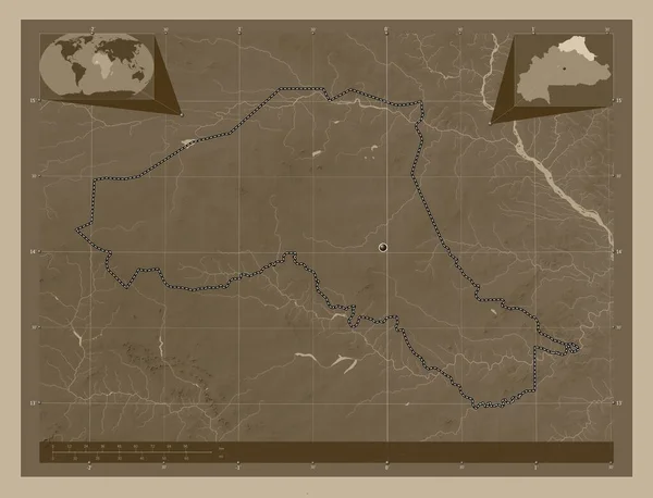
Sahel, region of Burkina Faso. Elevation map colored in sepia tones with lakes and rivers. Corner auxiliary location maps
Sahel Region Burkina Faso Elevation Map Colored Sepia Tones Lakes — Stock Photo, Image
Area of Sikasso, region of Mali, isolated on a solid background in a georeferenced bounding box. Labels. Topographic relief map. 3D rendering
Area Sikasso Region Mali Isolated Solid Background Georeferenced Bounding Box — Stock Photo, Image
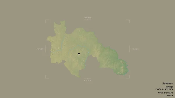
Area of Savanes, district of Cote d'Ivoire, isolated on a solid background in a georeferenced bounding box. Labels. Topographic relief map. 3D rendering
Area Savanes District Cote Ivoire Isolated Solid Background Georeferenced Bounding — Stock Photo, Image
Area of Nord-Ubangi, province of Democratic Republic of the Congo, isolated on a solid background in a georeferenced bounding box. Labels. Colored elevation map. 3D rendering
Area Nord Ubangi Province Democratic Republic Congo Isolated Solid Background — Stock Photo, Image
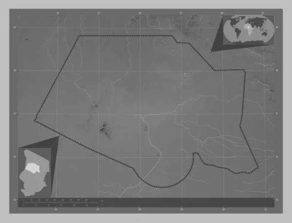
Borkou, region of Chad. Grayscale elevation map with lakes and rivers. Locations of major cities of the region. Corner auxiliary location maps
Borkou Region Chad Grayscale Elevation Map Lakes Rivers Locations Major — Stock Photo, Image
Borkou, region of Chad. Grayscale elevation map with lakes and rivers. Corner auxiliary location maps
Borkou Region Chad Grayscale Elevation Map Lakes Rivers Corner Auxiliary — Stock Photo, Image
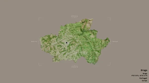
Area of Braga, district of Portugal, isolated on a solid background in a georeferenced bounding box. Labels. Satellite imagery. 3D rendering
Area Braga District Portugal Isolated Solid Background Georeferenced Bounding Box — Stock Photo, Image
Demir Kapija, municipality of Macedonia. Solid color shape. Locations of major cities of the region. Corner auxiliary location maps
Demir Kapija Municipality Macedonia Solid Color Shape Locations Major Cities — Stock Photo, Image
Demir Kapija, municipality of Macedonia. Solid color shape. Corner auxiliary location maps
Demir Kapija Municipality Macedonia Solid Color Shape Corner Auxiliary Location — Stock Photo, Image
Dosso, department of Niger. Colored elevation map with lakes and rivers. Locations of major cities of the region. Corner auxiliary location maps
Dosso Department Niger Colored Elevation Map Lakes Rivers Locations Major — Stock Photo, Image
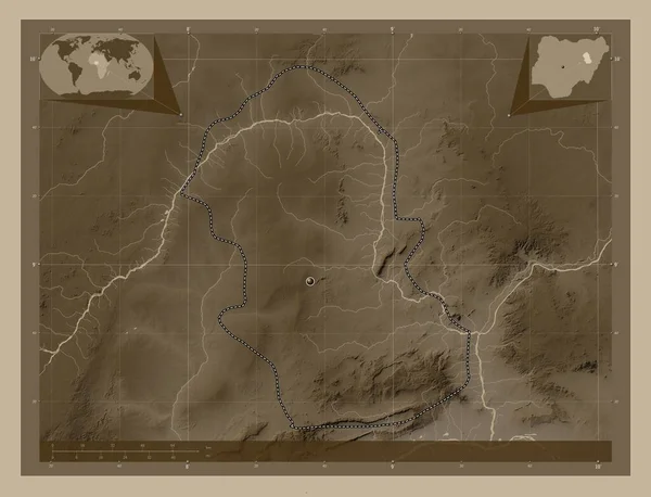
Bauchi, state of Nigeria. Solid color shape. Corner auxiliary location maps
Bauchi State Nigeria Solid Color Shape Corner Auxiliary Location Maps — Stock Photo, Image
Area of Kwara, state of Nigeria, isolated on a solid background in a georeferenced bounding box. Labels. Topographic relief map. 3D rendering
Area Kwara State Nigeria Isolated Solid Background Georeferenced Bounding Box — Stock Photo, Image
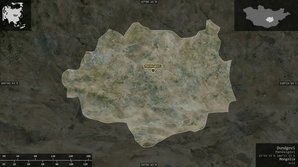
Dundgovi, province of Mongolia. Satellite imagery. Shape presented against its country area with informative overlays. 3D rendering
Dundgovi Province Mongolia Satellite Imagery Shape Presented Its Country Area — Stock Photo, Image
Mubarak Al-Kabeer, province of Kuwait. Solid color shape. Locations of major cities of the region. Corner auxiliary location maps
Mubarak Kabeer Province Kuwait Solid Color Shape Locations Major Cities — Stock Photo, Image
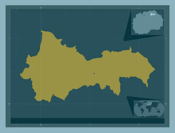
Kratovo, municipality of Macedonia. Solid color shape. Corner auxiliary location maps
Kratovo Municipality Macedonia Solid Color Shape Corner Auxiliary Location Maps — Stock Photo, Image
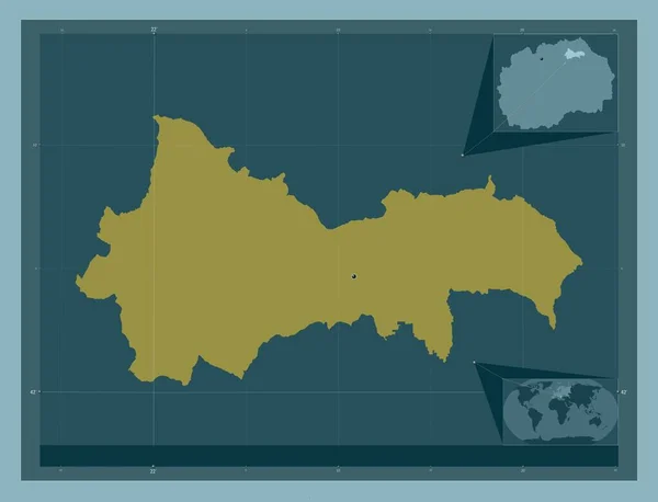
Kratovo, municipality of Macedonia. Solid color shape. Locations of major cities of the region. Corner auxiliary location maps
Kratovo Municipality Macedonia Solid Color Shape Locations Major Cities Region — Stock Photo, Image
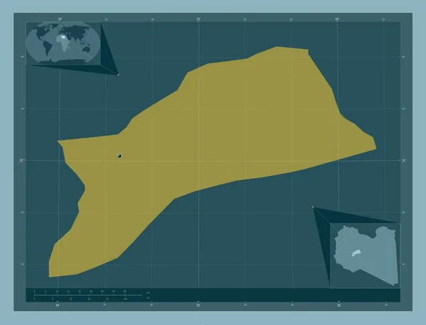
Sabha, district of Libya. Solid color shape. Corner auxiliary location maps
Sabha District Libya Solid Color Shape Corner Auxiliary Location Maps — Stock Photo, Image
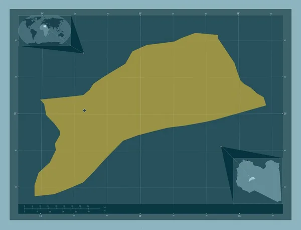
Sabha, district of Libya. Solid color shape. Locations of major cities of the region. Corner auxiliary location maps
Sabha District Libya Solid Color Shape Locations Major Cities Region — Stock Photo, Image
Kemo, prefecture of Central African Republic. Elevation map colored in sepia tones with lakes and rivers. Corner auxiliary location maps
Kemo Prefecture Central African Republic Elevation Map Colored Sepia Tones — Stock Photo, Image
Kemo, prefecture of Central African Republic. Elevation map colored in sepia tones with lakes and rivers. Locations of major cities of the region. Corner auxiliary location maps
Kemo Prefecture Central African Republic Elevation Map Colored Sepia Tones — Stock Photo, Image
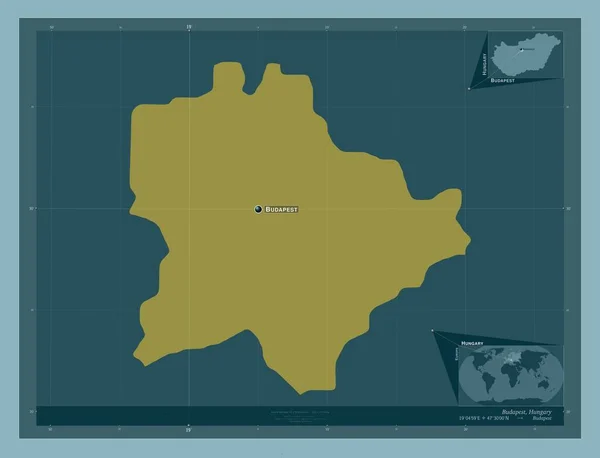
Budapest, capital city of Hungary. Solid color shape. Locations and names of major cities of the region. Corner auxiliary location maps
Budapest Capital City Hungary Solid Color Shape Locations Names Major — Stock Photo, Image
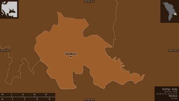
Stefan Voda, district of Moldova. Patterned solids with lakes and rivers. Shape presented against its country area with informative overlays. 3D rendering
Stefan Voda District Moldova Patterned Solids Lakes Rivers Shape Presented — Stock Photo, Image
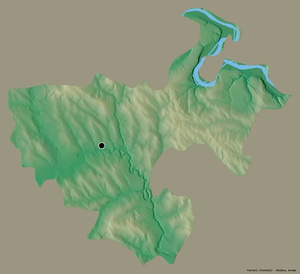
Shape of Floresti, district of Moldova, with its capital isolated on a solid color background. Topographic relief map. 3D rendering
Shape Floresti District Moldova Its Capital Isolated Solid Color Background — Stock Photo, Image
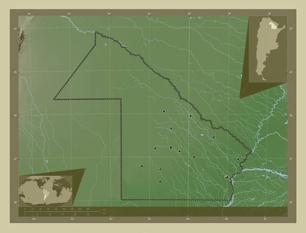
Chaco, province of Argentina. Elevation map colored in wiki style with lakes and rivers. Locations of major cities of the region. Corner auxiliary location maps
Chaco Province Argentina Elevation Map Colored Wiki Style Lakes Rivers — Stock Photo, Image
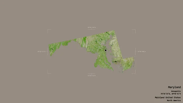
Area of Maryland, state of Mainland United States, isolated on a solid background in a georeferenced bounding box. Labels. Satellite imagery. 3D rendering
Area Maryland State Mainland United States Isolated Solid Background Georeferenced — Stock Photo, Image
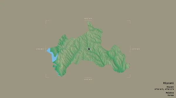
Area of Riscani, district of Moldova, isolated on a solid background in a georeferenced bounding box. Labels. Topographic relief map. 3D rendering
Area Riscani District Moldova Isolated Solid Background Georeferenced Bounding Box — Stock Photo, Image
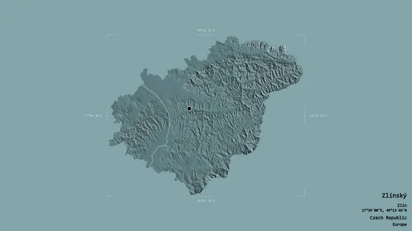
Area of Zlinsky, region of Czech Republic, isolated on a solid background in a georeferenced bounding box. Labels. Colored elevation map. 3D rendering
Area Zlinsky Region Czech Republic Isolated Solid Background Georeferenced Bounding — Stock Photo, Image
Dosso, department of Niger. Elevation map colored in sepia tones with lakes and rivers. Locations of major cities of the region. Corner auxiliary location maps
Dosso Department Niger Elevation Map Colored Sepia Tones Lakes Rivers — Stock Photo, Image
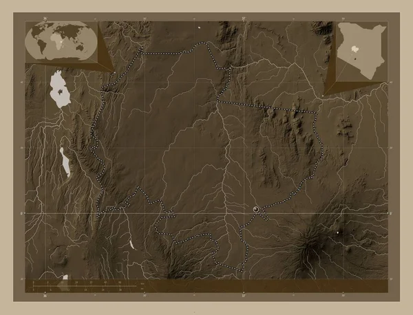
Laikipia, county of Kenya. Elevation map colored in sepia tones with lakes and rivers. Corner auxiliary location maps
Laikipia County Kenya Elevation Map Colored Sepia Tones Lakes Rivers — Stock Photo, Image

Related image searches

Unlock the Power of Map Point Images

Are you searching for the perfect visual element to enhance your project and captivate your audience? Look no further! Our extensive collection of stock images offers a wide range of stunning map point images that will take your designs to the next level. Whether you are designing a website, creating a presentation, or developing an advertisement campaign, our map point images are ideal for adding clarity, impact, and visual appeal to your work.

Elevate Your Designs with Versatile Map Point Images

Our stock images are available in the most popular file formats: JPG, AI, and EPS. These formats provide maximum flexibility, making it easy to integrate our map point images into a variety of design projects. Whether you are working on print materials, web graphics, or even merchandise, our images can be seamlessly incorporated.
Map point images are an invaluable tool for showcasing locations, highlighting geographical data, and guiding viewers. By incorporating these images into your designs, you can provide users with a clear visual representation of specific places, routes, or destinations. This makes map point images particularly useful for websites, travel brochures, directional signage, and educational materials.
Find the Perfect Match for Your Project

With our extensive collection of map point images, you will easily find the perfect match for your specific project. Whether you need a simple, clean map point icon for a minimalist design or a detailed and intricate map point image for a more elaborate project, we have it all. We offer a variety of styles, colors, and designs to suit any aesthetic preference or project theme.

When selecting a map point image, consider the purpose and tone of your project. If you are designing a sleek and modern website, opt for a minimalist map point icon in a bold color to create a visually striking contrast. On the other hand, if you are working on an educational poster about historical landmarks, a detailed and realistic map point image will resonate with your audience. By choosing the right image, you can effectively convey your message and evoke the desired emotions.

Expert Tips for Using Map Point Images

To ensure that you make the most of our map point images, here are some expert tips for using them effectively:

  1. Consider the placement: Carefully consider where the map point image will be placed in your design. Ensure that it is easily visible and doesn't distract from other important elements.
  2. Keep it cohesive: Maintain a cohesive visual language throughout your project. Choose map point images that align with your overall design aesthetic, color scheme, and typography.
  3. Choose the right size: Select a map point image that is appropriately sized for its purpose. A small, subtle map point icon may work well on a website, while a larger, more detailed image may be necessary for a poster or banner.
  4. Experiment with color: Don't be afraid to play with color when using map point images. Adjusting the color of the map point to match your project's palette can create a more cohesive and visually appealing design.
  5. Test for accessibility: If your project aims to be inclusive and accessible, ensure that the chosen map point image is clear and easy to understand, even for individuals with visual impairments. Consider providing alternative text or captions to enhance accessibility.

By following these expert tips, you can optimize the impact and effectiveness of map point images in your projects, ensuring that they not only enhance your designs but also serve their intended purpose.

Unlock the potential of our stock images and elevate your designs with our captivating map point images. Whether you need a map point icon for a sleek website or a detailed map point image for a printed brochure, our collection has got you covered. Let our map point images guide your audience to their destinations and make a lasting impression.