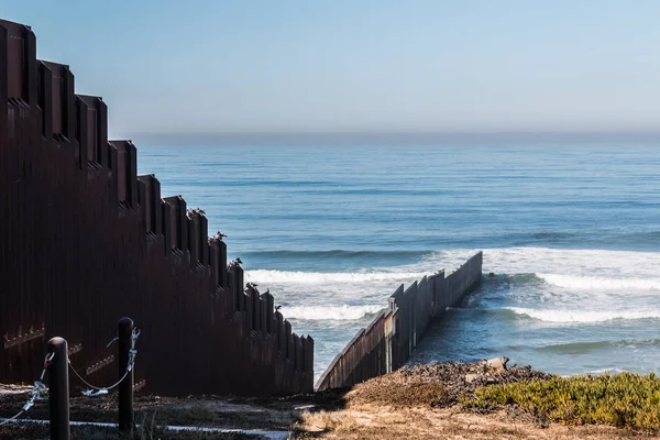
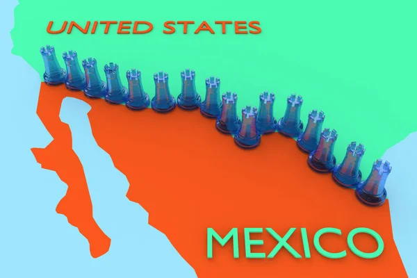
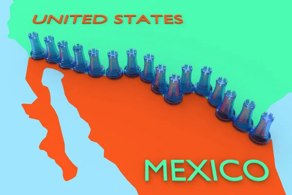
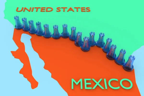
International Border Wall Extending Out Into The Pacific Ocean
International Border Wall Extending Out Into The Pacific Ocean — Stock Photo, Image
Chili peppers on wooden table
Chili peppers on wooden table — Stock Photo, Image
Grunge background with American Indian traditional patterns
Grunge background with American Indian traditional patterns — Stock Photo, Image
Mexican background with copyspace
Mexican background with copyspace — Stock Photo, Image
Cross On the Mountaintop
Cross On the Mountaintop — Stock Photo, Image
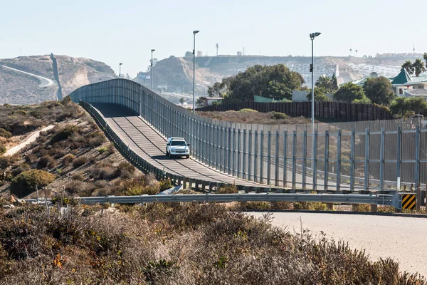
San Diego-Tijuana International Border Wall and Border Patrol Vehicle
San Diego-Tijuana International Border Wall and Border Patrol Vehicle — Stock Photo, Image
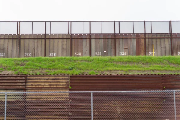
Fence Seperating Mexico From California United States Mexican Bo
Fence Seperating Mexico From California United States Mexican Bo — Stock Photo, Image
Striped background with doodle elements
Striped background with doodle elements — Stock Photo, Image
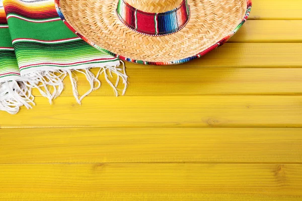
Mexican blanket and sombreros
Mexican blanket and sombreros — Stock Photo, Image
Mexican background with copyspace
Mexican background with copyspace — Stock Photo, Image
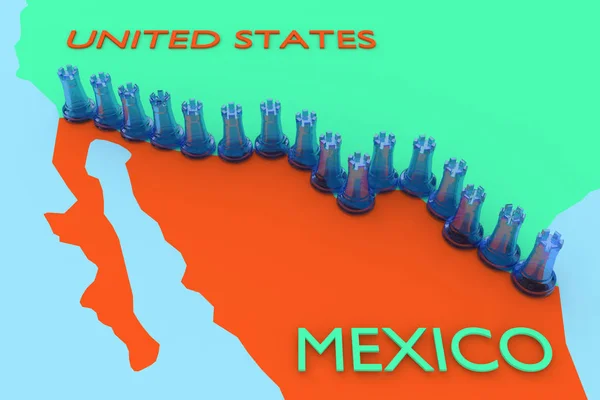
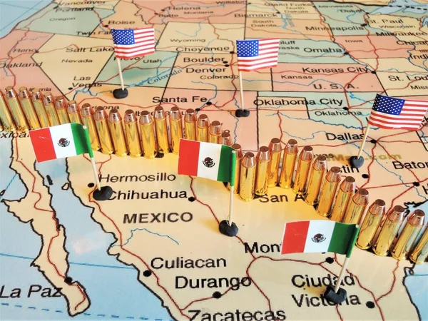
USA Mexico Wall concept
USA Mexico Wall concept — Stock Photo, Image
USA Mexico Wall concept
USA Mexico Wall concept — Stock Photo, Image
USA Mexico Wall concept
USA Mexico Wall concept — Stock Photo, Image
USA Mexico Wall concept
USA Mexico Wall concept — Stock Photo, Image
Mexico - town sign, place name sign
Mexico Town Sign Place Name Sign — Stock Photo, Image
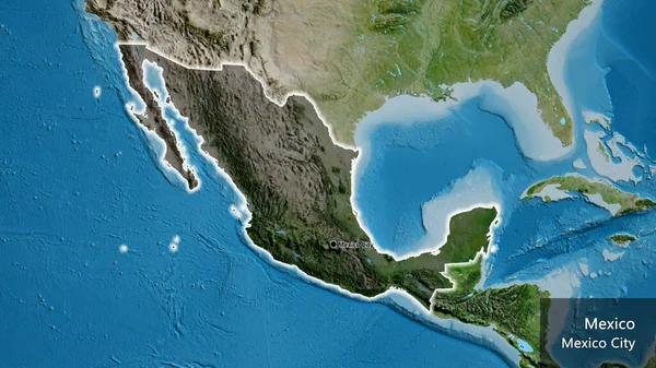
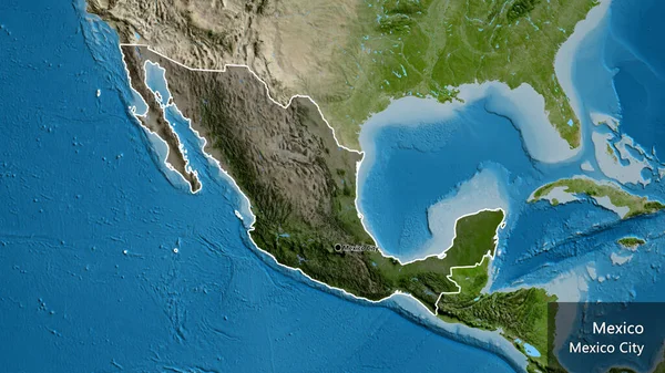
Close-up of the Mexico border area highlighting with a dark overlay on a satellite map. Capital point. Glow around the country shape. English name of the country and its capital
Close Mexico Border Area Highlighting Dark Overlay Satellite Map Capital — Stock Photo, Image
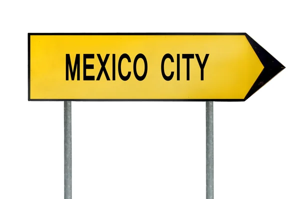
Yellow street concept sign Mexico city isolated on white
Yellow street concept sign Mexico city isolated on white — Stock Photo, Image
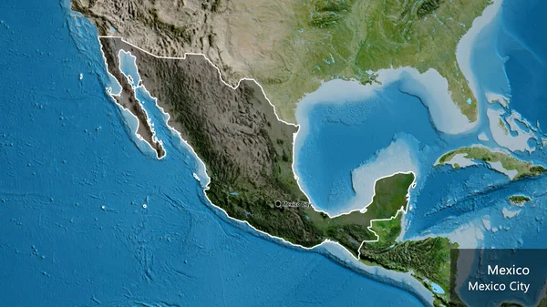
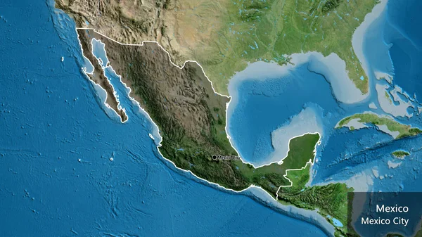
Close-up of the Mexico border area highlighting with a dark overlay on a satellite map. Capital point. Outline around the country shape. English name of the country and its capital
Close Mexico Border Area Highlighting Dark Overlay Satellite Map Capital — Stock Photo, Image
USA Mexico Wall concept
USA Mexico Wall concept — Stock Photo, Image
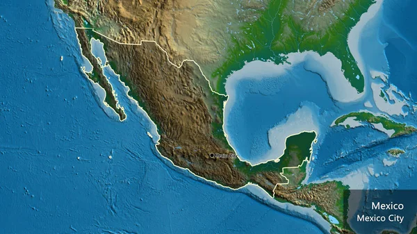
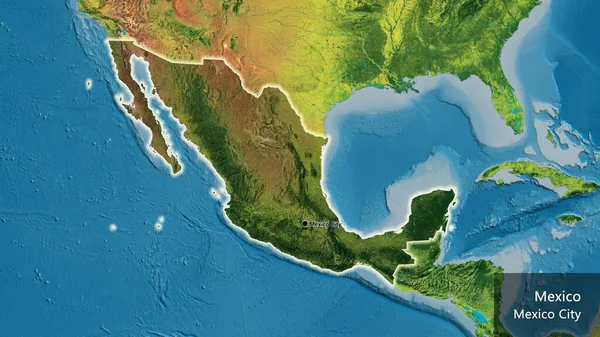
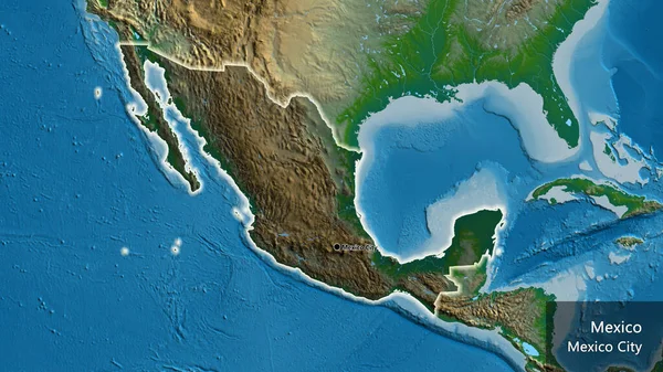
Close-up of the Mexico border area highlighting with a dark overlay on a physical map. Capital point. Outline around the country shape. English name of the country and its capital
Close Mexico Border Area Highlighting Dark Overlay Physical Map Capital — Stock Photo, Image
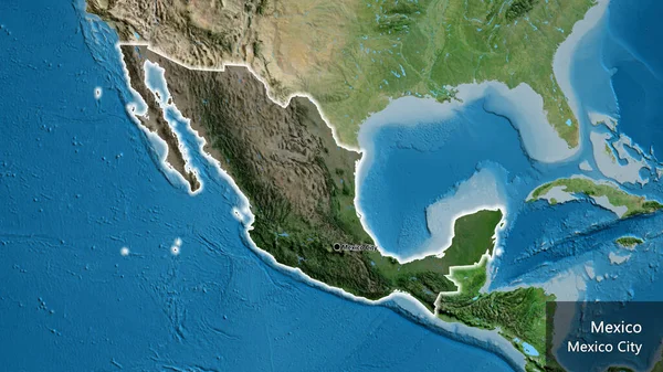
Close-up of the Mexico border area highlighting with a dark overlay on a satellite map. Capital point. Outline around the country shape. English name of the country and its capital
Close Mexico Border Area Highlighting Dark Overlay Satellite Map Capital — Stock Photo, Image
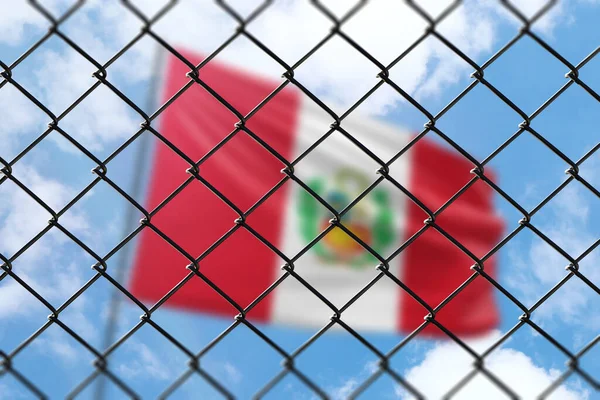
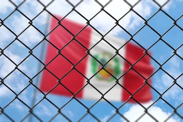
A steel mesh against the background of a blue sky and a flagpole with the flag of peru
Steel Mesh Background Blue Sky Flagpole Flag Peru — Stock Photo, Image
A steel mesh against the background of a blue sky and a flagpole with the flag of peru
Steel Mesh Background Blue Sky Flagpole Flag Peru — Stock Photo, Image
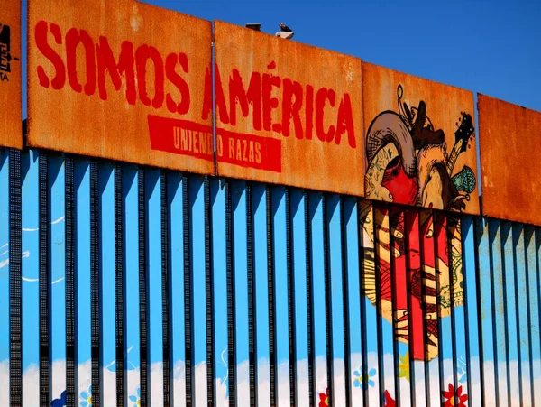
Tijuana, Mexico - September 3, 2015: Mexico-USA Border Fence Close to the Pacific Ocean at Tijuana, Mexico with artwork translating as 'we are America'
Tijuana Mexico September 2015 Mexico Usa Border Fence Close Pacific — Stock Photo, Image
Mexico City Highway Road Sign at Night
Mexico City Highway Road Sign at Night — Stock Photo, Image
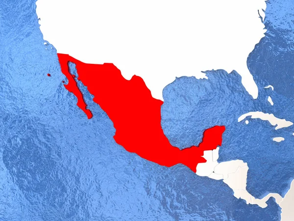
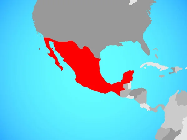
Mexico on globe
Mexico on globe — Stock Photo, Image
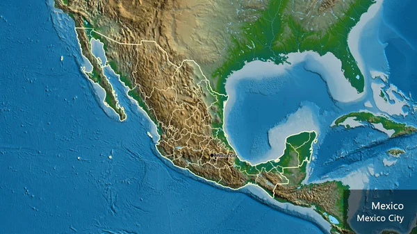
Close-up of the Mexico border area and its regional borders on a physical map. Capital point. Outline around the country shape. English name of the country and its capital
Close Mexico Border Area Its Regional Borders Physical Map Capital — Stock Photo, Image
This Way to Mexico
This Way to Mexico — Stock Photo, Image
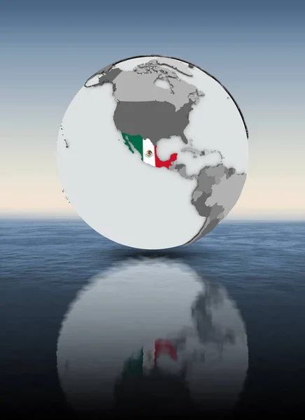
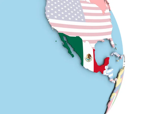
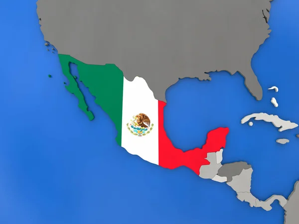
Mexico with flag on globe above water. 3D illustration.
Mexico Flag Globe Water Illustration — Stock Photo, Image
Mexico - town sign, place name sign
Mexico Town Sign Place Name Sign — Stock Photo, Image
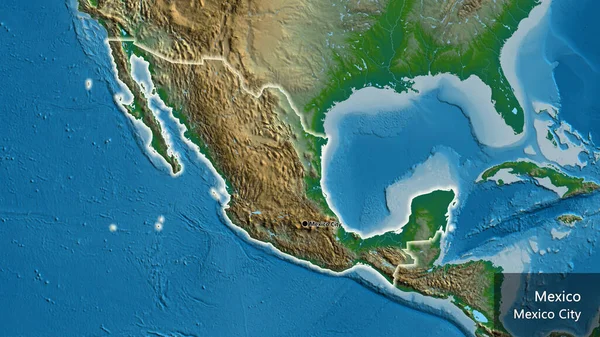
Close-up of the Mexico border area on a physical map. Capital point. Glow around the country shape. English name of the country and its capital
Close Mexico Border Area Physical Map Capital Point Glow Country — Stock Photo, Image
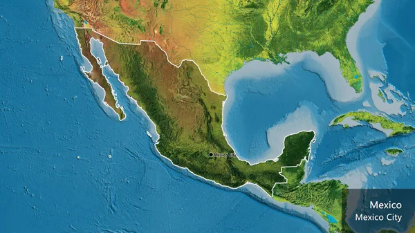
Close-up of the Mexico border area highlighting with a dark overlay on a topographic map. Capital point. Outline around the country shape. English name of the country and its capital
Close Mexico Border Area Highlighting Dark Overlay Topographic Map Capital — Stock Photo, Image
The Mexico United States barrier, also known as the border wall, is a series of vertical barriers along the Mexico United States border intended to reduce illegal immigration and drug trafficking to the United States from Mexico.
Mexico United States Barrier Also Known Border Wall Series Vertical — Stock Photo, Image
Mexico with national flag on blue political 3D globe. 3D illustration.
Mexico National Flag Blue Political Globe Illustration — Stock Photo, Image
Map of worlds. Mexico.
Map of worlds. Mexico. — Stock Photo, Image
Close-up of the Mexico border area highlighting with a dark overlay on a satellite map. Capital point. Outline around the country shape. English name of the country and its capital
Close Mexico Border Area Highlighting Dark Overlay Satellite Map Capital — Stock Photo, Image
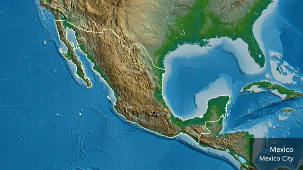
Close-up of the Mexico border area on a physical map. Capital point. Outline around the country shape. English name of the country and its capital
Close Mexico Border Area Physical Map Capital Point Outline Country — Stock Photo, Image
Map of worlds. Mexico.
Map of worlds. Mexico. — Stock Photo, Image
Old Peru flag in brick wall
Old Peru flag in brick wall — Stock Photo, Image
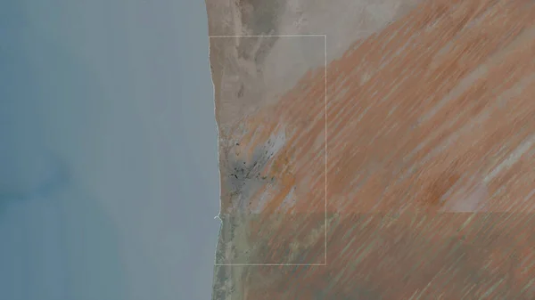
Nouakchott, district of Mauritania. Satellite imagery. Shape outlined against its country area. 3D rendering
Nouakchott District Mauritania Satellite Imagery Shape Outlined Its Country Area — Stock Photo, Image
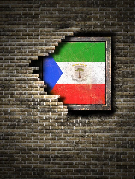
Old Equatorial Guinea flag in brick wall
Old Equatorial Guinea flag in brick wall — Stock Photo, Image
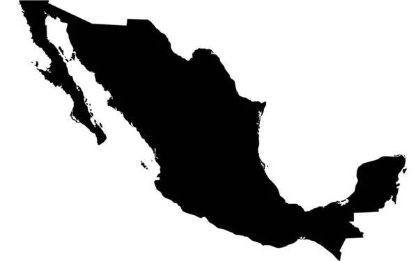
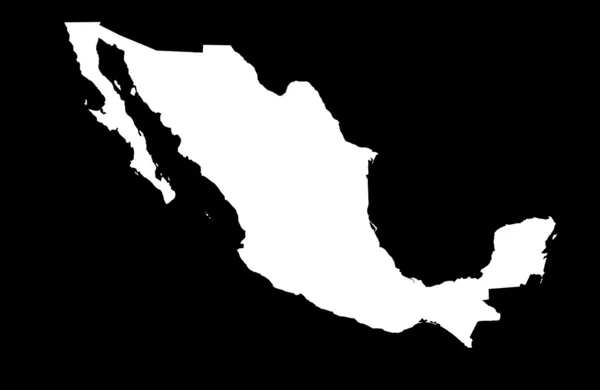
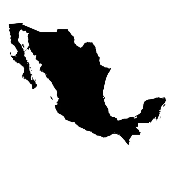
Map of Mexico filled with black color
Map Mexico Filled Black Color — Stock Photo, Image
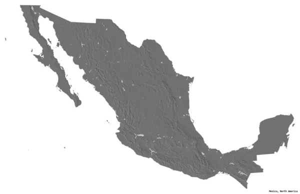
Shape of Mexico with its capital isolated on white background. Bilevel elevation map. 3D rendering
Shape Mexico Its Capital Isolated White Background Bilevel Elevation Map — Stock Photo, Image
Greenland with flag on globe
Greenland with flag on globe — Stock Photo, Image
Mexico on globe
Mexico on globe — Stock Photo, Image
Close-up of the Mexico border area highlighting with a dark overlay on a topographic map. Capital point. Glow around the country shape. English name of the country and its capital
Close Mexico Border Area Highlighting Dark Overlay Topographic Map Capital — Stock Photo, Image
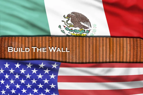
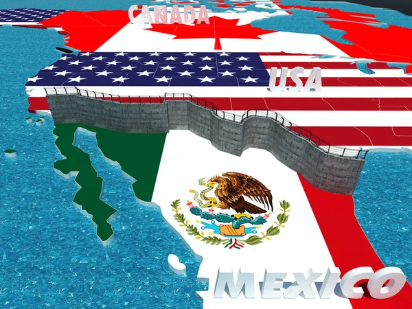
Build the wall with USA and Mexico.
Build Wall Usa Mexico — Stock Photo, Image
Greenland with flag on globe
Greenland with flag on globe — Stock Photo, Image
Map of Lithuania with flag on globe
Map of Lithuania with flag on globe — Stock Photo, Image
Mexico Highway Sign
Mexico Highway Sign — Stock Photo, Image
Mexico and its flag on globe
Mexico and its flag on globe — Stock Photo, Image
Close-up of the Mexico border area highlighting with a dark overlay on a satellite map. Capital point. Glow around the country shape. English name of the country and its capital
Close Mexico Border Area Highlighting Dark Overlay Satellite Map Capital — Stock Photo, Image
Zambia and Mexico Flags on Black Background
Zambia Mexico Flags Black Background — Stock Photo, Image
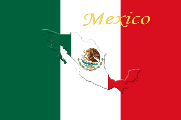
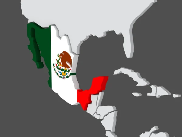
Mexican National Flag With Eagle Coat Of Arms and Mexican Map 3D Rendering
Mexican National Flag With Eagle Coat Of Arms and Mexican Map 3D Rendering — Stock Photo, Image
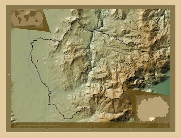
Novatsi, municipality of Macedonia. Colored elevation map with lakes and rivers. Corner auxiliary location maps
Novatsi Municipality Macedonia Colored Elevation Map Lakes Rivers Corner Auxiliary — Stock Photo, Image
Mexico flag on the map
Mexico Flag Map — Stock Photo, Image
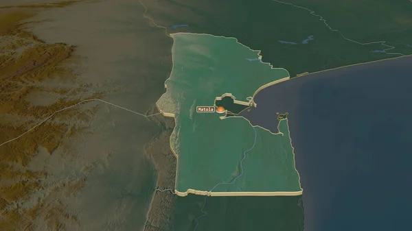
Zoom in on Maputo (province of Mozambique) extruded. Oblique perspective. Topographic relief map with surface waters. 3D rendering
Zoom Maputo Province Mozambique Extruded Oblique Perspective Topographic Relief Map — Stock Photo, Image
United Mexican States map
United Mexican States map — Stock Photo, Image
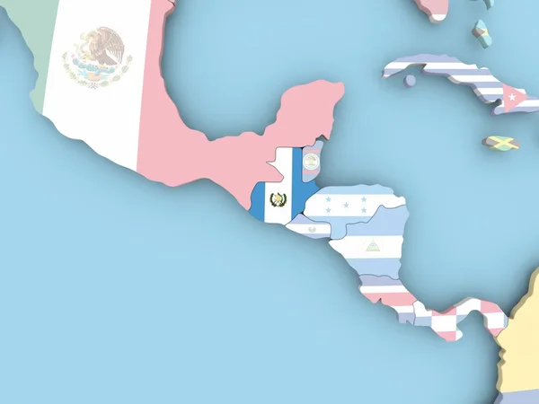
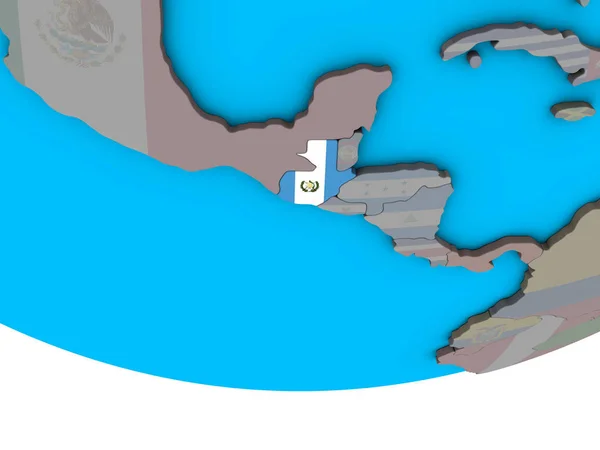
Guatemala with embedded national flag on simple political 3D globe. 3D illustration.
Guatemala Embedded National Flag Simple Political Globe Illustration — Stock Photo, Image
Ohangwena, region of Namibia. Elevation map colored in sepia tones with lakes and rivers
Ohangwena Region Namibia Elevation Map Colored Sepia Tones Lakes Rivers — Stock Photo, Image
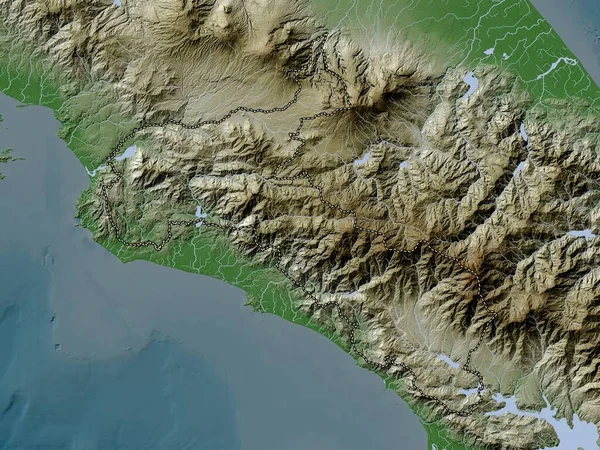
San Jose, province of Costa Rica. Elevation map colored in wiki style with lakes and rivers
San Jose Province Costa Rica Elevation Map Colored Wiki Style — Stock Photo, Image
Grand Kru, county of Liberia. Elevation map colored in sepia tones with lakes and rivers
Grand Kru County Liberia Elevation Map Colored Sepia Tones Lakes — Stock Photo, Image
Abstract pattern illustration, seamless background
Abstract Pattern Illustration Seamless Background — Stock Photo, Image
A Neon outline of Mexico
Neon Outline Mexico — Stock Photo, Image
Aerial view of a landing airplane and flag of Mexico on the airfield of an airport. Air travel related conceptual 3D rendering
Aerial view of a landing airplane and flag of Mexico on the airfield of an airport. Air travel related conceptual 3D rendering — Stock Photo, Image
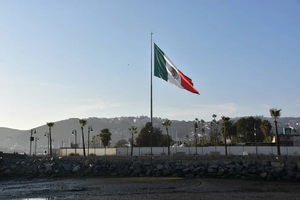
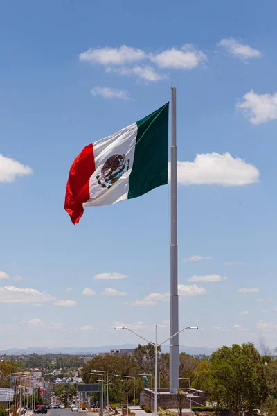
Mexican flag hoisted at the Port of Ensenada in Mexico
Mexican Flag Hoisted Port Ensenada Mexico — Stock Photo, Image
Mexican Flag flying in the wind.
Mexican Flag Flying Wind — Stock Photo, Image
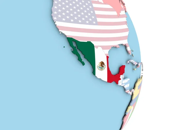
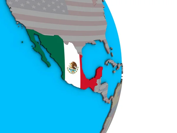
Mexico with embedded flag on political globe. 3D illustration.
Mexico Embedded Flag Political Globe Illustration — Stock Photo, Image
Mexico - town sign, place name sign
Mexico Town Sign Place Name Sign — Stock Photo, Image
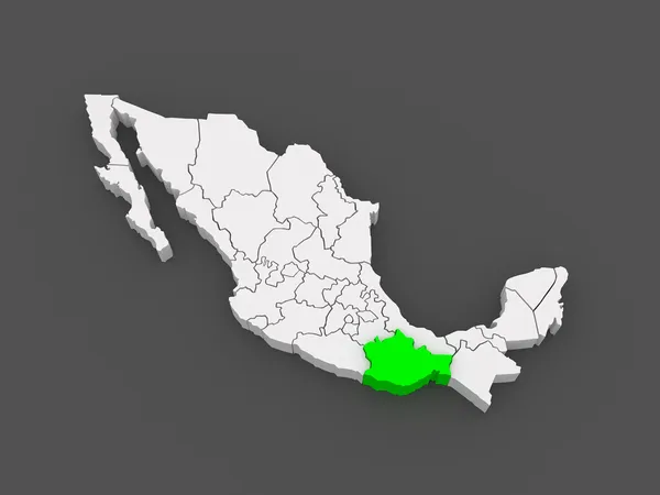
Map of Oaxaca. Mexico.
Map of Oaxaca. Mexico. — Stock Photo, Image
Aerial view of an airplane arriving to Mexico City airport. Travel to Mexico 3D rendering
Aerial view of an airplane arriving to Mexico City airport. Travel to Mexico 3D rendering — Stock Photo, Image
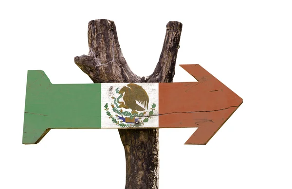
Mexico wooden sign
Mexico wooden sign — Stock Photo, Image
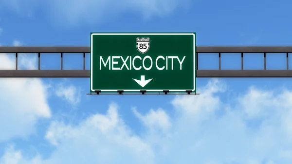
Mexico City Highway Road Sign
Mexico City Highway Road Sign — Stock Photo, Image
Border fence - Old plastic sign with a flag
Border fence - Old plastic sign with a flag — Stock Photo, Image
Mexico on blue political globe. 3D illustration.
Mexico Blue Political Globe Illustration — Stock Photo, Image
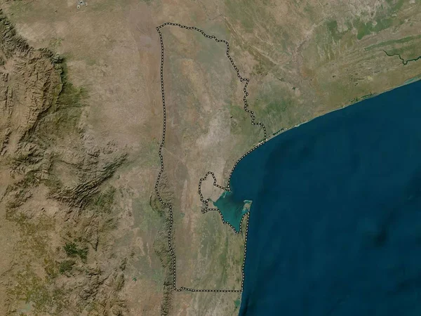
Maputo, province of Mozambique. Low resolution satellite map
Maputo Province Mozambique Low Resolution Satellite Map — Stock Photo, Image
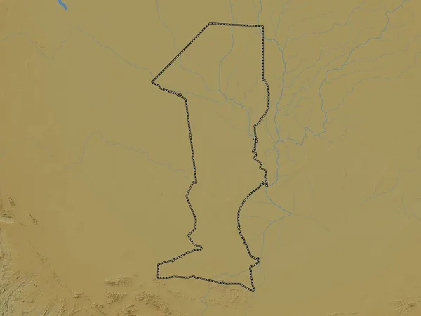
Oshana, region of Namibia. Colored elevation map with lakes and rivers
Oshana Region Namibia Colored Elevation Map Lakes Rivers — Stock Photo, Image
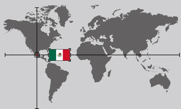
World map with coordinate point positioned by crossed lines on country Mexico
World Map Coordinate Point Positioned Crossed Lines Country Mexico — Stock Photo, Image
Arica y Parinacota, region of Chile. Colored elevation map with lakes and rivers
Arica Parinacota Region Chile Colored Elevation Map Lakes Rivers — Stock Photo, Image
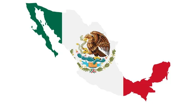
Mexico map with flag texture on white background, illustration,textured , Symbols ofMexico,for advertising ,promote, TV commercial, ads, web design, magazine, news paper, report
Mexico Map Flag Texture White Background Illustration Textured Symbols Ofmexico — Stock Photo, Image
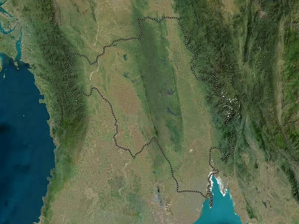
Bago, division of Myanmar. High resolution satellite map
Bago Division Myanmar High Resolution Satellite Map — Stock Photo, Image
Zoom in on Brcko (district of Bosnia and Herzegovina) outlined. Oblique perspective. Topographic relief map with surface waters. 3D rendering
Zoom Brcko District Bosnia Herzegovina Outlined Oblique Perspective Topographic Relief — Stock Photo, Image
The Mexico United States barrier, also known as the border wall, is a series of vertical barriers along the Mexico United States border intended to reduce illegal immigration and drug trafficking to the United States from Mexico.
Mexico United States Barrier Also Known Border Wall Series Vertical — Stock Photo, Image
Mexico with embedded national flag on simple political 3D globe. 3D illustration.
Mexico Embedded National Flag Simple Political Globe Illustration — Stock Photo, Image
Mexican Flag Urban Grunge Pattern
Mexican Flag Urban Grunge Pattern — Stock Photo, Image
Al Buhayrah, governorate of Egypt. Colored elevation map with lakes and rivers. Locations of major cities of the region. Corner auxiliary location maps
Buhayrah Governorate Egypt Colored Elevation Map Lakes Rivers Locations Major — Stock Photo, Image
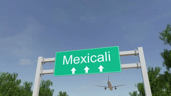
Airplane arriving to Mexicali airport. Travelling to Mexico conceptual 3D rendering
Airplane arriving to Mexicali airport. Travelling to Mexico conceptual 3D rendering — Stock Photo, Image
Border wall between Mexico and United States as president promises
Border wall between Mexico and United States as president promises — Stock Photo, Image
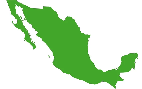
Map of Mexico filled with green color
Map Mexico Filled Green Color — Stock Photo, Image
Football Cup competition between the national Mexico and national South Korea.
Football Cup Competition National Mexico National South Korea — Stock Photo, Image
Nimba, county of Liberia. Elevation map colored in sepia tones with lakes and rivers
Nimba County Liberia Elevation Map Colored Sepia Tones Lakes Rivers — Stock Photo, Image
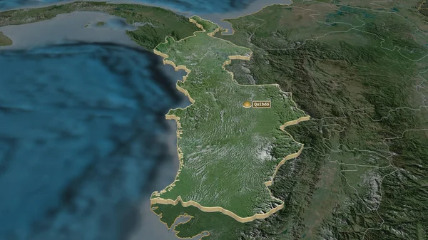
Zoom in on Choco (department of Colombia) extruded. Oblique perspective. Satellite imagery. 3D rendering
Zoom Choco Department Colombia Extruded Oblique Perspective Satellite Imagery Rendering — Stock Photo, Image
Panama on simple political globe. 3D illustration.
Panama Simple Political Globe Illustration — Stock Photo, Image
Close-up of the Mexico border area highlighting with a dark overlay on a physical map. Capital point. Glow around the country shape. English name of the country and its capital
Close Mexico Border Area Highlighting Dark Overlay Physical Map Capital — Stock Photo, Image
Grunge texture background, abstract pattern, grunge wall background
Grunge Texture Background Abstract Pattern Grunge Wall Background — Stock Photo, Image
Grunge texture background, close up of old wall
Grunge Texture Background Close Old Wall — Stock Photo, Image
Map of the country of Mexico
Map of the country of Mexico — Stock Photo, Image
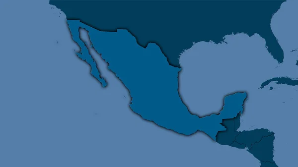
Mexico area on the solid map in the stereographic projection - raw composition of raster layers with dark glowing outline
Mexico Area Solid Map Stereographic Projection Raw Composition Raster Layers — Stock Photo, Image
Mexico on map travel background texture
Mexico Map Travel Background Texture — Stock Photo, Image
Rustic grunge stone wall textured background
Rustic Grunge Stone Wall Textured Background — Stock Photo, Image

Related image searches

Find Stunning Mexican Border Images for Your Projects

Welcome to our diverse collection of stock images showcasing the beauty and vibrancy of the Mexican border. Whether you're working on a web design, marketing campaign, or publication, our carefully curated selection of images will help you create visually captivating content. From breathtaking landscapes to cultural celebrations, we have the perfect images to enhance your projects. Explore our collection below and discover the potential of our high-quality JPG, AI, and EPS files.

1. Capturing the Essence of the Mexican Border

Our Mexican border images encapsulate the spirit and essence of this dynamic region. Filled with vibrant colors, rich history, and diverse landscapes, these photos provide an authentic representation of the Mexican border experience. Immerse your audience in the bustling streets of border towns, the awe-inspiring beauty of ancient ruins, or the lively atmosphere of local markets. Our images can be used in travel websites, cultural publications, or even as visual backdrops for presentations, helping you transport your viewers to this captivating destination.

2. Showcasing Cultural Celebrations and Traditions

From colorful festivals to traditional ceremonies, our collection includes a wide range of images that highlight the cultural richness of the Mexican border. Whether it's the mesmerizing Day of the Dead festivities or the energetic performances of traditional folk dancers, these images will add an extra layer of authenticity to your creative projects. Use them in advertisements for cultural events, educational materials on Mexican traditions, or as captivating visuals for social media posts that engage and inspire your audience.

3. Diversity in Landscapes and Nature

The Mexican border is a treasure trove of diverse landscapes and stunning natural beauty. Our images capture the awe-inspiring sights of majestic mountains, pristine beaches, and sprawling deserts. Whether you're designing a travel brochure, creating a website for a nature preserve, or working on a magazine article, our images will help you convey the unique allure of the Mexican border's natural wonders. With our high-quality file formats, you can easily incorporate these images into your designs, providing an immersive visual experience for your audience.

4. Practical Tips for Using Mexican Border Images

When selecting and utilizing Mexican border images, it's important to consider the context and purpose of your project. Here are some practical tips to ensure you make the most of these visuals:

  • Choose images that align with the theme and message of your project. Whether you want to evoke a sense of adventure, showcase cultural diversity, or emphasize the beauty of nature, select images that reinforce your desired narrative.
  • Experiment with different file formats to find the one that best suits your needs. JPG files offer a good balance between image quality and file size, while AI and EPS files provide flexibility for editing and scaling without compromising the visual integrity.
  • Consider the placement and size of the image within your design. Images can act as focal points or background elements, so ensure they enhance the overall composition and readability of your project.
  • Remember to comply with copyright laws and usage rights. While our stock images can be used for various purposes, make sure to review and adhere to the licensing terms to avoid any legal issues.
  • Use image editing software to enhance the visuals if necessary. Adjusting colors, cropping, or adding overlays can help create a cohesive visual identity and ensure the images align with your branding.

By following these practical tips and utilizing our fabulous Mexican border images, you can elevate your projects and leave a lasting impression on your target audience. Start exploring our collection today and unlock the potential of visually captivating content!