Mississippi map Stock Photos

100,000 Mississippi map pictures are available under a royalty-free license

  • Best Match
  • Fresh
  • Popular
1-100 of 100,000
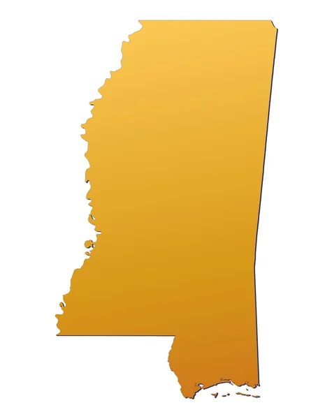
Mississippi (USA) map
Mississippi (USA) map — Stock Photo, Image
Mississippi MS Money Map Cash Economy Dollars 3d Illustration
Mississippi Money Map Cash Economy Dollars Illustration — Stock Photo, Image
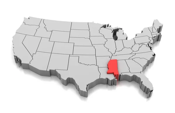
Map of Mississippi state, USA
Map of Mississippi state, USA — Stock Photo, Image
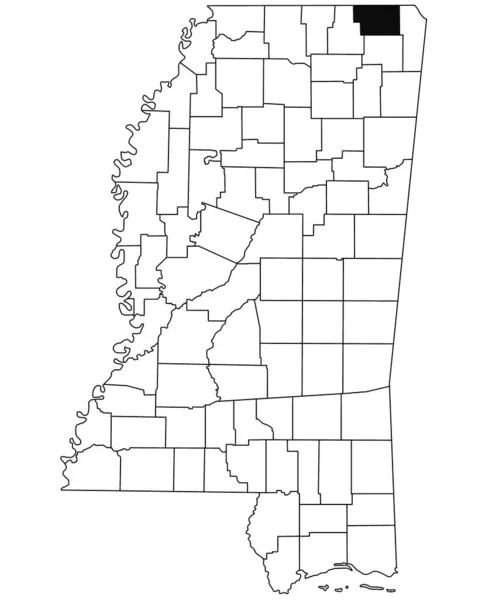
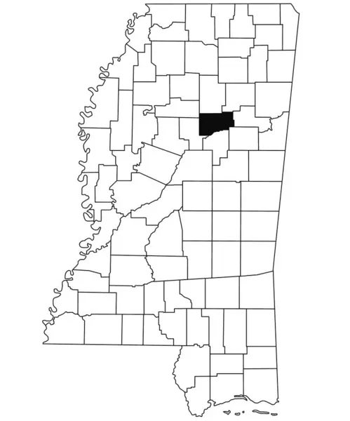
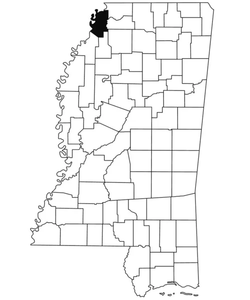
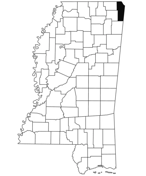
Map of alcorn County in Mississippi state on white background. single County map highlighted by black colour on Mississippi map. United States of America, US
Map Alcorn County Mississippi State White Background Single County Map — Stock Photo, Image
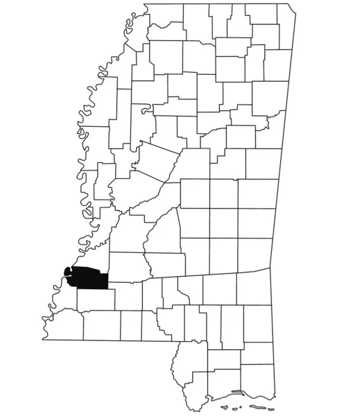
Map of Jefferson County in Mississippi state on white background. single County map highlighted by black colour on Mississippi map. United States of America, US
Map Jefferson County Mississippi State White Background Single County Map — Stock Photo, Image
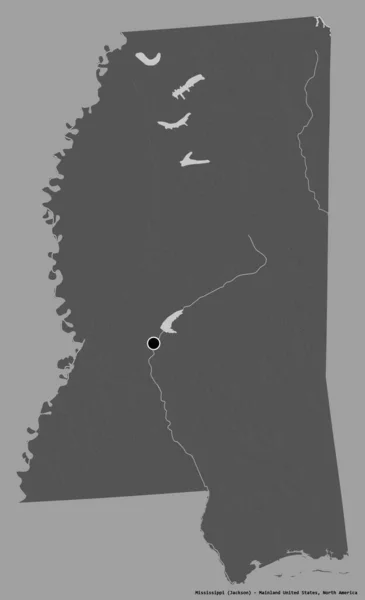
Shape of Mississippi, state of Mainland United States, with its capital isolated on a solid color background. Bilevel elevation map. 3D rendering
Shape Mississippi State Mainland United States Its Capital Isolated Solid — Stock Photo, Image
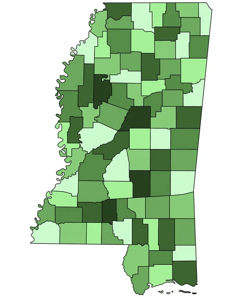
3d Map of Mississippi state with borders of the counties and different colour. United State of America, US, United State.
Map Mississippi State Borders Counties Different Colour United State America — Stock Photo, Image
Map of Minya. Egypt.
Map of Minya. Egypt. — Stock Photo, Image
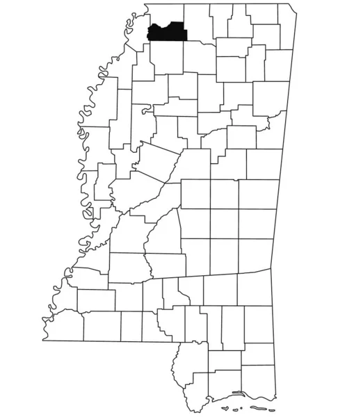
Map of DeSoto County in Mississippi state on white background. single County map highlighted by black colour on Mississippi map. United States of America, US
Map Desoto County Mississippi State White Background Single County Map — Stock Photo, Image
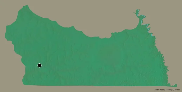
Shape of Kolda, region of Senegal, with its capital isolated on a solid color background. Topographic relief map. 3D rendering
Shape Kolda Region Senegal Its Capital Isolated Solid Color Background — Stock Photo, Image
Missouri Red Abstract 3D State Map United States America
Missouri Red Abstract 3D State Map United States America — Stock Photo, Image
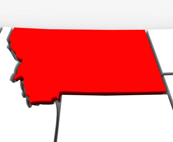
Montana Red Abstract 3D State Map United States America
Montana Red Abstract 3D State Map United States America — Stock Photo, Image
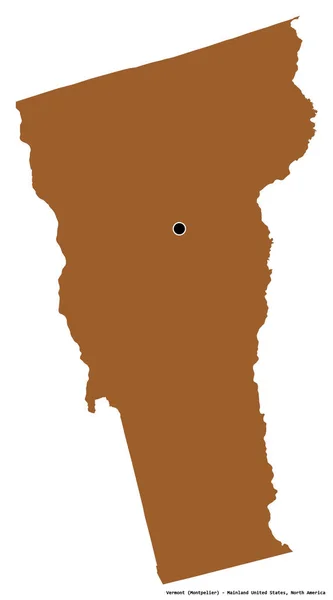
Shape of Vermont, state of Mainland United States, with its capital isolated on white background. Composition of patterned textures. 3D rendering
Shape Vermont State Mainland United States Its Capital Isolated White — Stock Photo, Image
Old map. Engraving image
Old Map Engraving Image — Stock Photo, Image
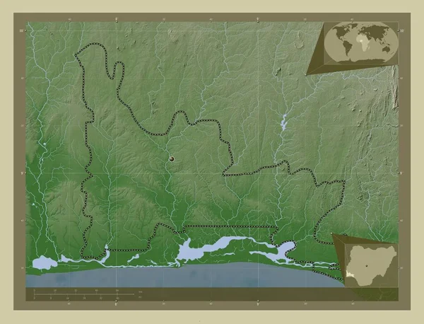
Ogun, state of Nigeria. Elevation map colored in wiki style with lakes and rivers. Corner auxiliary location maps
Ogun State Nigeria Elevation Map Colored Wiki Style Lakes Rivers — Stock Photo, Image
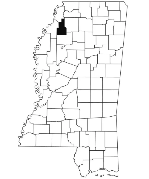
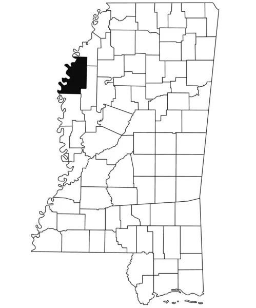
Map of Humphreys County in Mississippi state on white background. single County map highlighted by black colour on Mississippi map. United States of America, US
Map Humphreys County Mississippi State White Background Single County Map — Stock Photo, Image
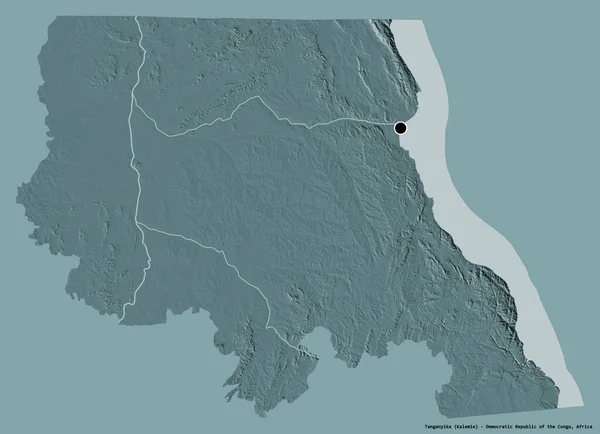
Shape of Tanganyika, province of Democratic Republic of the Congo, with its capital isolated on white background. Composition of patterned textures. 3D rendering
Shape Tanganyika Province Democratic Republic Congo Its Capital Isolated White — Stock Photo, Image
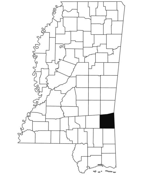
Map of Wayne County in Mississippi state on white background. single County map highlighted by black colour on Mississippi map. United States of America, US
Map Wayne County Mississippi State White Background Single County Map — Stock Photo, Image
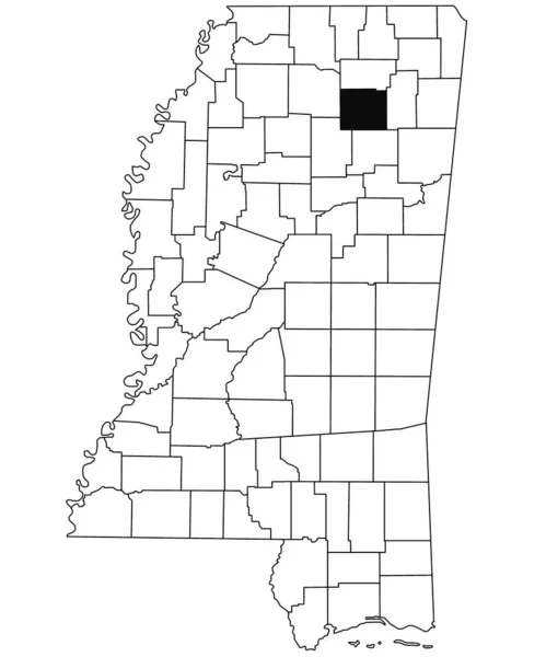
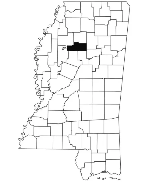
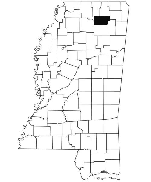
Map of pontotoc County in Mississippi state on white background. single County map highlighted by black colour on Mississippi map. United States of America, US
Map Pontotoc County Mississippi State White Background Single County Map — Stock Photo, Image
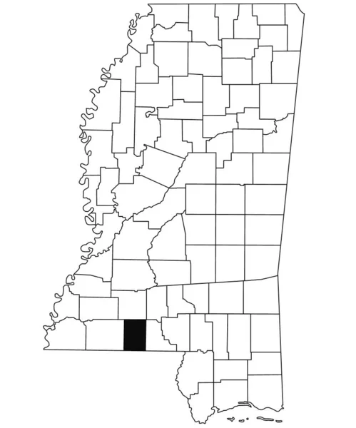
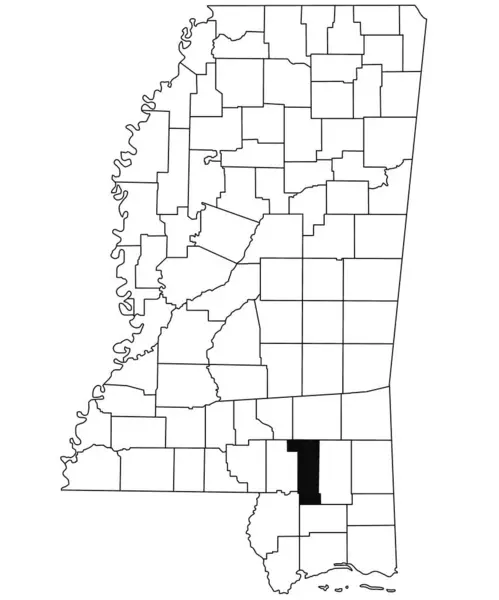
Map of pike County in Mississippi state on white background. single County map highlighted by black colour on Mississippi map. United States of America, US
Map Pike County Mississippi State White Background Single County Map — Stock Photo, Image
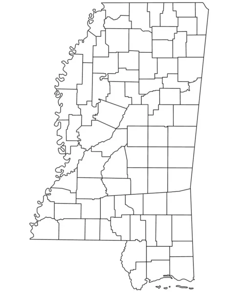
Outline Mississippi map with County in white on white background. Administrative map of Mississippi state, United State of America, US, United State.
Outline Mississippi Map County White White Background Administrative Map Mississippi — Stock Photo, Image
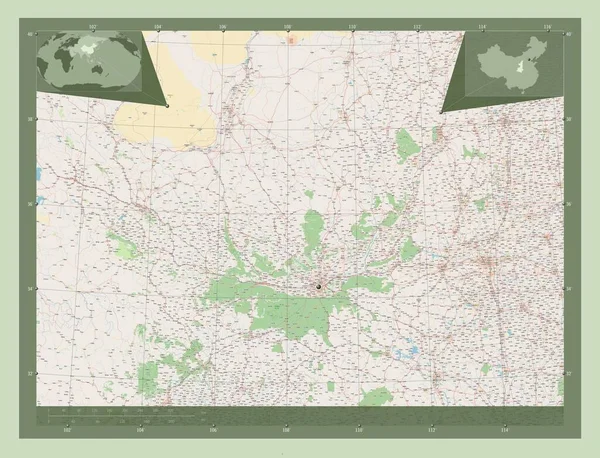
Shaanxi, province of China. Open Street Map. Corner auxiliary location maps
Shaanxi Province China Open Street Map Corner Auxiliary Location Maps — Stock Photo, Image
Map of Grenada County in Mississippi state on white background. single County map highlighted by black colour on Mississippi map. United States of America, US
Map Grenada County Mississippi State White Background Single County Map — Stock Photo, Image
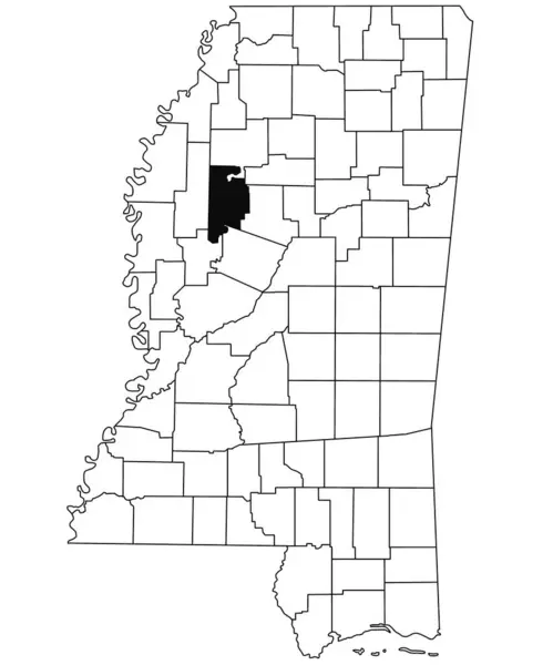
Map of leflore County in Mississippi state on white background. single County map highlighted by black colour on Mississippi map. United States of America, US
Map Leflore County Mississippi State White Background Single County Map — Stock Photo, Image
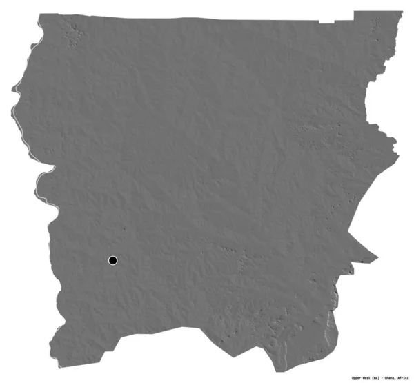
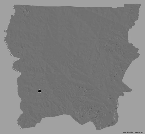
Shape of Upper West, region of Ghana, with its capital isolated on white background. Bilevel elevation map. 3D rendering
Shape Upper West Region Ghana Its Capital Isolated White Background — Stock Photo, Image
State of Mississippi map
State of Mississippi map — Stock Photo, Image
Map of quitman County in Mississippi state on white background. single County map highlighted by black colour on Mississippi map. United States of America, US
Map Quitman County Mississippi State White Background Single County Map — Stock Photo, Image
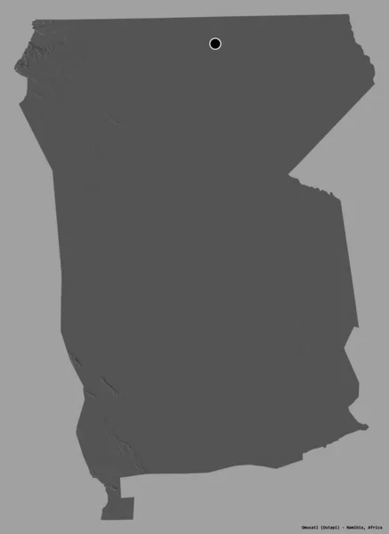
Shape of Omusati, region of Namibia, with its capital isolated on a solid color background. Bilevel elevation map. 3D rendering
Shape Omusati Region Namibia Its Capital Isolated Solid Color Background — Stock Photo, Image
Shape of Santa Fe, province of Argentina, with its capital isolated on white background. Bilevel elevation map. 3D rendering
Shape Santa Province Argentina Its Capital Isolated White Background Bilevel — Stock Photo, Image
Map of Beheira. Egypt.
Map of Beheira. Egypt. — Stock Photo, Image
Polygonal Wire Frame Mesh High Detail Raster Map of Mississippi State Abstractions
Polygonal Wire Frame Mesh High Detail Raster Map of Mississippi State Abstractions — Stock Photo, Image
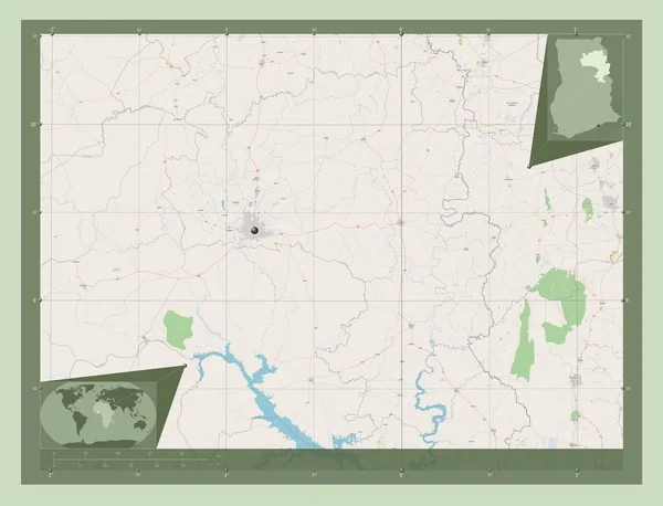
Northern, region of Ghana. Open Street Map. Corner auxiliary location maps
Northern Region Ghana Open Street Map Corner Auxiliary Location Maps — Stock Photo, Image
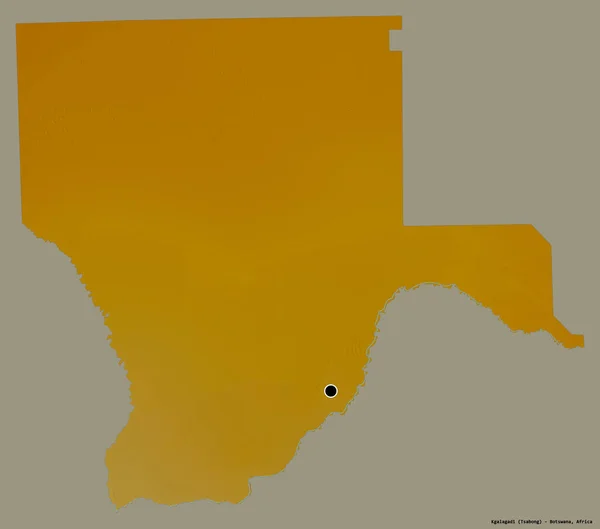
Shape of Kgalagadi, district of Botswana, with its capital isolated on a solid color background. Topographic relief map. 3D rendering
Shape Kgalagadi District Botswana Its Capital Isolated Solid Color Background — Stock Photo, Image
Shape of Kgalagadi, district of Botswana, with its capital isolated on a solid color background. Bilevel elevation map. 3D rendering
Shape Kgalagadi District Botswana Its Capital Isolated Solid Color Background — Stock Photo, Image
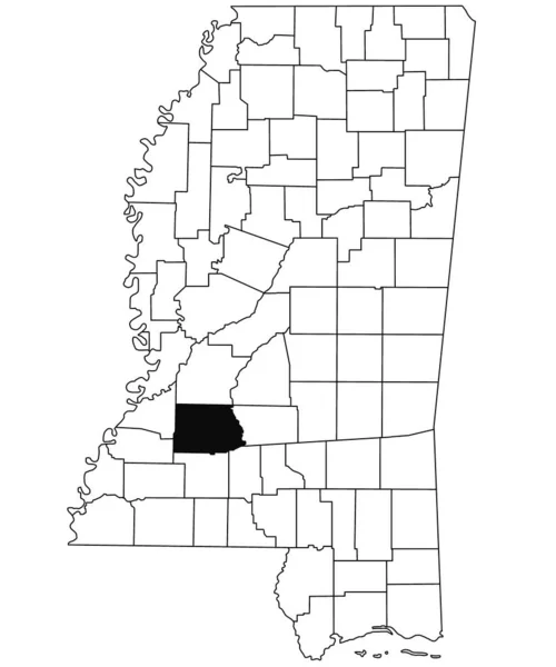
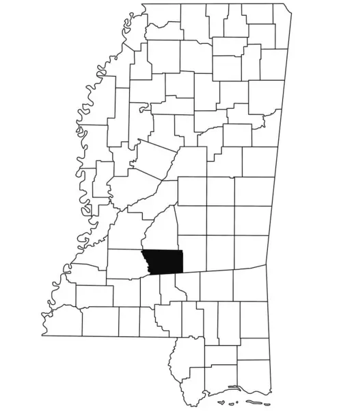
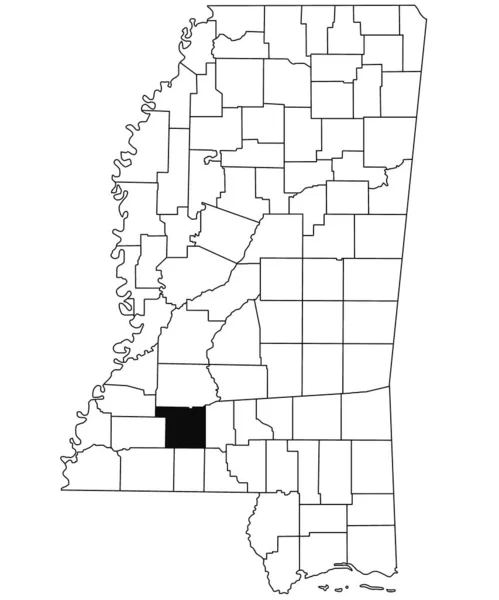
Map of copiah County in Mississippi state on white background. single County map highlighted by black colour on Mississippi map. United States of America, US
Map Copiah County Mississippi State White Background Single County Map — Stock Photo, Image
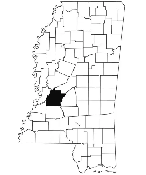
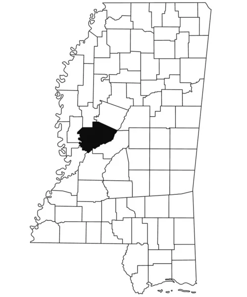
Map of hinds County in Mississippi state on white background. single County map highlighted by black colour on Mississippi map. United States of America, US
Map Hinds County Mississippi State White Background Single County Map — Stock Photo, Image
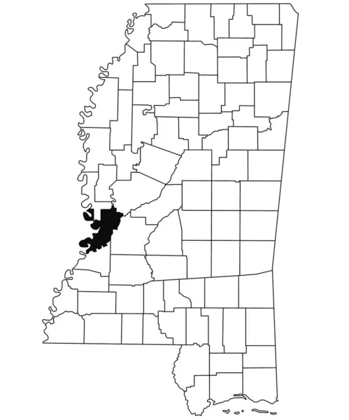
Map of Warren County in Mississippi state on white background. single County map highlighted by black colour on Mississippi map. United States of America, US
Map Warren County Mississippi State White Background Single County Map — Stock Photo, Image
Map of Lincoln County in Mississippi state on white background. single County map highlighted by black colour on Mississippi map. United States of America, US
Map Lincoln County Mississippi State White Background Single County Map — Stock Photo, Image
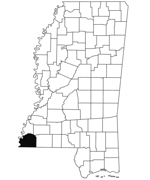
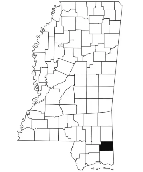
Map of George County in Mississippi state on white background. single County map highlighted by black colour on Mississippi map. United States of America, US
Map George County Mississippi State White Background Single County Map — Stock Photo, Image
Map of Montgomery County in Mississippi state on white background. single County map highlighted by black colour on Mississippi map. United States of America, US
Map Montgomery County Mississippi State White Background Single County Map — Stock Photo, Image
The 2D State of Arkansas outline map on white background
State Arkansas Outline Map White Background — Stock Photo, Image
Mississippi, state of United States of America. Solid color shape
Mississippi State United States America Solid Color Shape — Stock Photo, Image
Shape of Kolda, region of Senegal, with its capital isolated on white background. Colored elevation map. 3D rendering
Shape Kolda Region Senegal Its Capital Isolated White Background Colored — Stock Photo, Image
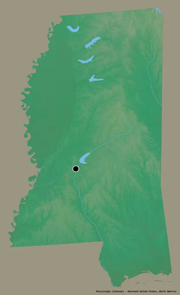
Shape of Mississippi, state of Mainland United States, with its capital isolated on a solid color background. Topographic relief map. 3D rendering
Shape Mississippi State Mainland United States Its Capital Isolated Solid — Stock Photo, Image
Map of Arkansas on weathered wood
Map of Arkansas on weathered wood — Stock Photo, Image
Map of Webster County in Mississippi state on white background. single County map highlighted by black colour on Mississippi map. United States of America, US
Map Webster County Mississippi State White Background Single County Map — Stock Photo, Image
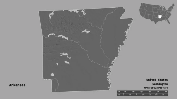
Shape of Arkansas, state of Mainland United States, with its capital isolated on solid background. Distance scale, region preview and labels. Bilevel elevation map. 3D rendering
Shape Arkansas State Mainland United States Its Capital Isolated Solid — Stock Photo, Image
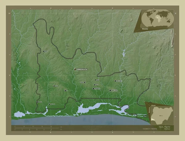
Ogun, state of Nigeria. Elevation map colored in wiki style with lakes and rivers. Locations and names of major cities of the region. Corner auxiliary location maps
Ogun State Nigeria Elevation Map Colored Wiki Style Lakes Rivers — Stock Photo, Image
Map of Bolivar County in Mississippi state on white background. single County map highlighted by black colour on Mississippi map. United States of America, US
Map Bolivar County Mississippi State White Background Single County Map — Stock Photo, Image
Shape of Tanganyika, province of Democratic Republic of the Congo, with its capital isolated on a solid color background. Colored elevation map. 3D rendering
Shape Tanganyika Province Democratic Republic Congo Its Capital Isolated Solid — Stock Photo, Image
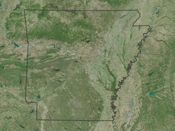
Arkansas, state of United States of America. High resolution satellite map
Arkansas State United States America High Resolution Satellite Map — Stock Photo, Image
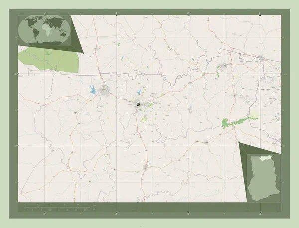
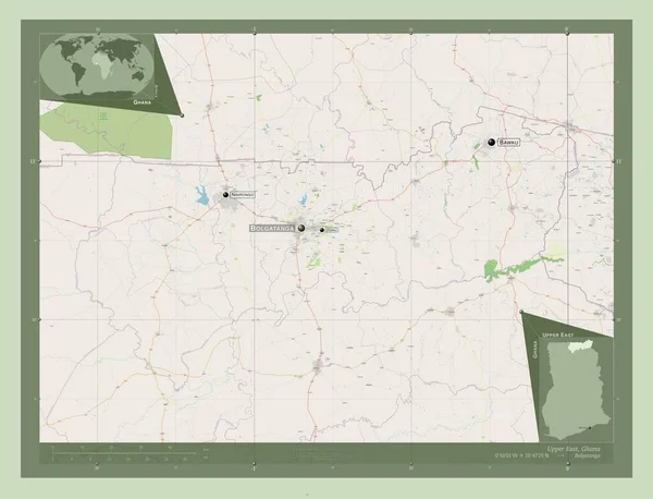
Upper East, region of Ghana. Open Street Map. Corner auxiliary location maps
Upper East Region Ghana Open Street Map Corner Auxiliary Location — Stock Photo, Image
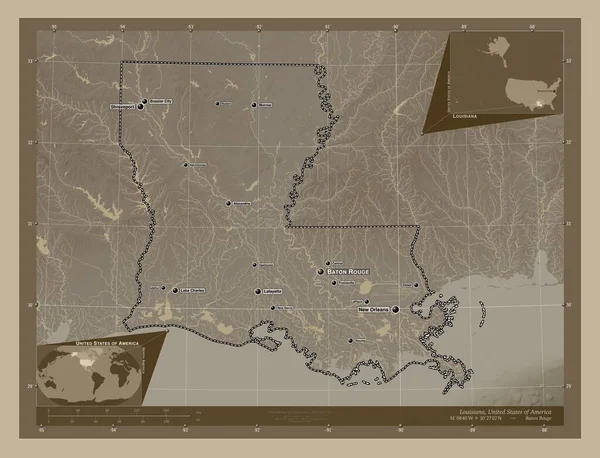
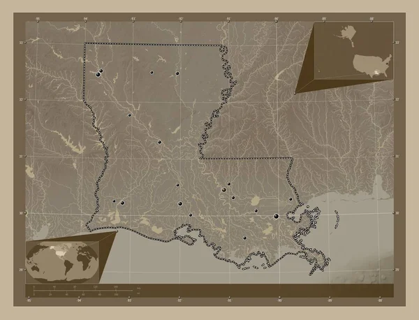
Louisiana, state of United States of America. Elevation map colored in sepia tones with lakes and rivers. Locations and names of major cities of the region. Corner auxiliary location maps
Louisiana State United States America Elevation Map Colored Sepia Tones — Stock Photo, Image
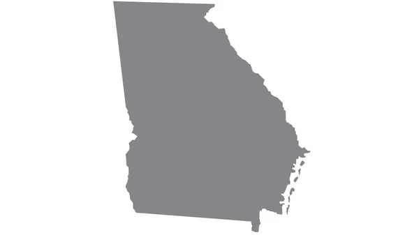
Georgia map with gray tone on white background,illustration,textured , Symbols of Georgia
Georgia Map Gray Tone White Background Illustration Textured Symbols Georgia — Stock Photo, Image
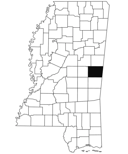
Map of Kemper County in Mississippi state on white background. single County map highlighted by black colour on Mississippi map. United States of America, US
Map Kemper County Mississippi State White Background Single County Map — Stock Photo, Image
Comoe, district of Cote d'Ivoire. Colored elevation map with lakes and rivers. Corner auxiliary location maps
Comoe District Cote Ivoire Colored Elevation Map Lakes Rivers Corner — Stock Photo, Image
Kermanshah, province of Iran. Open Street Map. Locations and names of major cities of the region. Corner auxiliary location maps
Kermanshah Province Iran Open Street Map Locations Names Major Cities — Stock Photo, Image
Shape of Upper West, region of Ghana, with its capital isolated on a solid color background. Bilevel elevation map. 3D rendering
Shape Upper West Region Ghana Its Capital Isolated Solid Color — Stock Photo, Image
Map of Mississippi - USA
Map of Mississippi - USA — Stock Photo, Image
Area of Lagos, state of Nigeria, isolated on a solid background in a georeferenced bounding box. Labels. Colored elevation map. 3D rendering
Area Lagos State Nigeria Isolated Solid Background Georeferenced Bounding Box — Stock Photo, Image
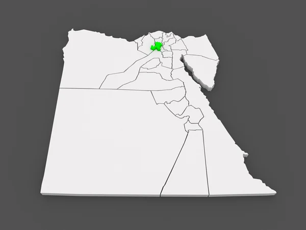
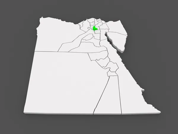
Map of Qalyubia. Egypt.
Map of Qalyubia. Egypt. — Stock Photo, Image
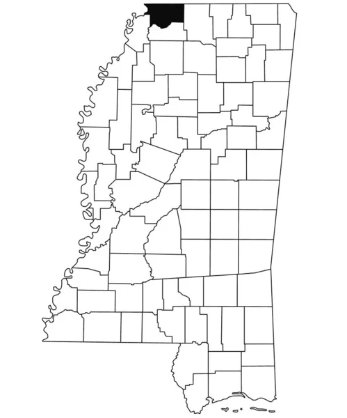
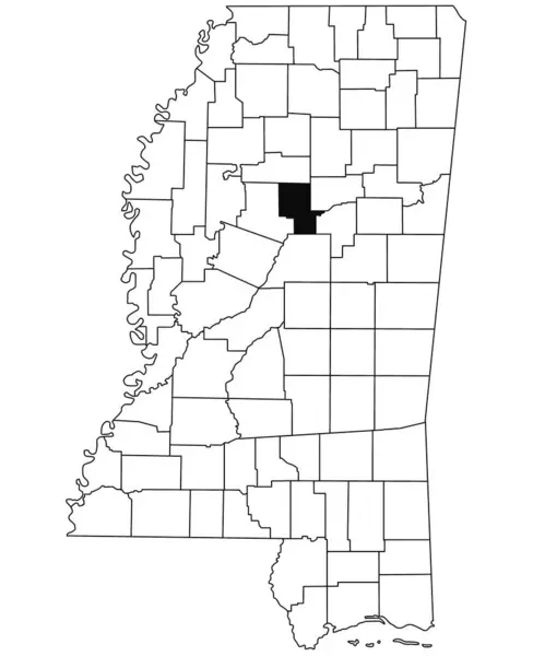
Map of Tunica County in Mississippi state on white background. single County map highlighted by black colour on Mississippi map. United States of America, US
Map Tunica County Mississippi State White Background Single County Map — Stock Photo, Image
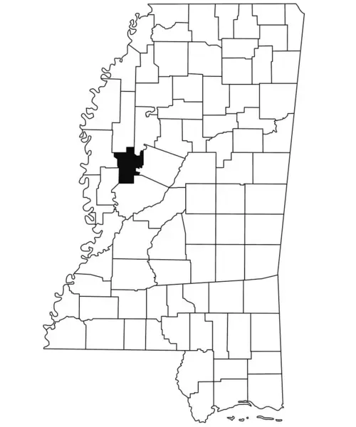
Map of Yazoo County in Mississippi state on white background. single County map highlighted by black colour on Mississippi map. United States of America, US
Map Yazoo County Mississippi State White Background Single County Map — Stock Photo, Image
Map of Forrest County in Mississippi state on white background. single County map highlighted by black colour on Mississippi map. United States of America, US
Map Forrest County Mississippi State White Background Single County Map — Stock Photo, Image
Louisiana, state of United States of America. Elevation map colored in sepia tones with lakes and rivers. Locations of major cities of the region. Corner auxiliary location maps
Louisiana State United States America Elevation Map Colored Sepia Tones — Stock Photo, Image
Shape of Missouri, state of Mainland United States, with its capital isolated on solid background. Distance scale, region preview and labels. Satellite imagery. 3D rendering
Shape Missouri State Mainland United States Its Capital Isolated Solid — Stock Photo, Image
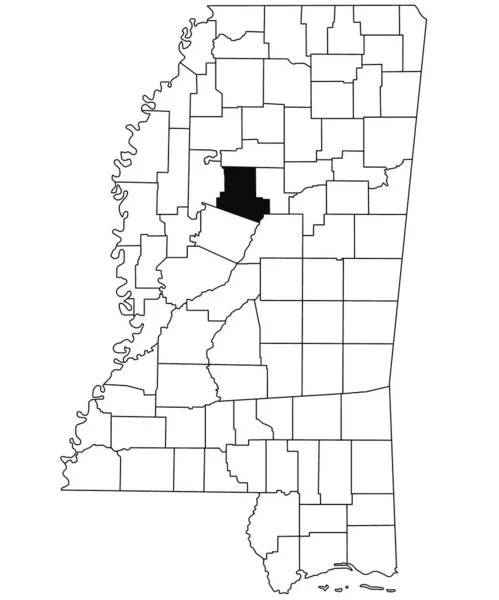
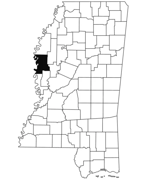
Map of Carroll County in Mississippi state on white background. single County map highlighted by black colour on Mississippi map. United States of America, US
Map Carroll County Mississippi State White Background Single County Map — Stock Photo, Image
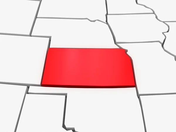
Three-dimensional map of Kansas. USA.
Three-dimensional map of Kansas. USA. — Stock Photo, Image
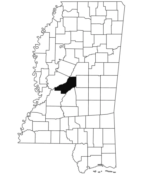
Map of Madison County in Mississippi state on white background. single County map highlighted by black colour on Mississippi map. United States of America, US
Map Madison County Mississippi State White Background Single County Map — Stock Photo, Image
Map of Franklin County in Mississippi state on white background. single County map highlighted by black colour on Mississippi map. United States of America, US
Map Franklin County Mississippi State White Background Single County Map — Stock Photo, Image
Shape of Nkhotakota, district of Malawi, with its capital isolated on white background. Composition of patterned textures. 3D rendering
Shape Nkhotakota District Malawi Its Capital Isolated White Background Composition — Stock Photo, Image
Three-dimensional map of Mississippi. USA.
Three-dimensional map of Mississippi. USA. — Stock Photo, Image
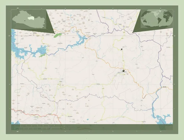
Cabanas, department of El Salvador. Open Street Map. Locations of major cities of the region. Corner auxiliary location maps
Cabanas Department Salvador Open Street Map Locations Major Cities Region — Stock Photo, Image
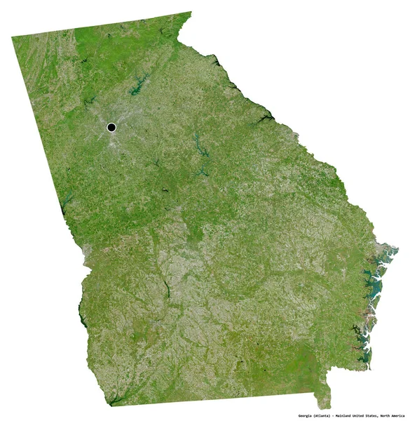
Shape of Georgia, state of Mainland United States, with its capital isolated on white background. Satellite imagery. 3D rendering
Shape Georgia State Mainland United States Its Capital Isolated White — Stock Photo, Image
Polygonal Carcass Mesh High Resolution Raster Map of Georgia State Abstractions
Polygonal Carcass Mesh High Resolution Raster Map of Georgia State Abstractions — Stock Photo, Image
Three-dimensional map of Georgia. USA.
Three-dimensional map of Georgia. USA. — Stock Photo, Image
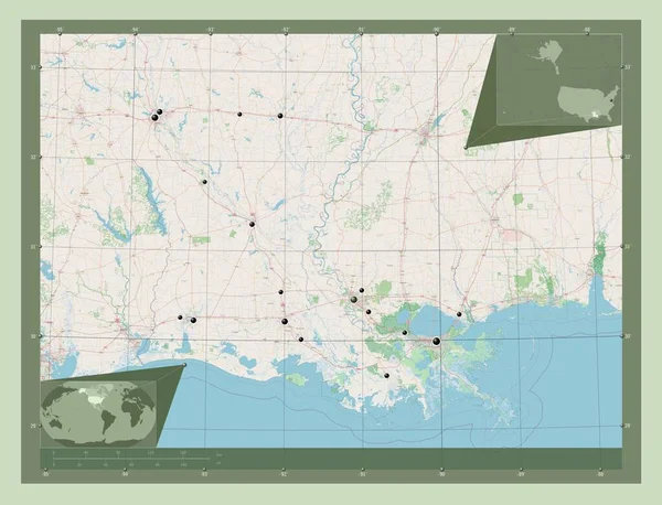
Louisiana, state of United States of America. Open Street Map. Locations of major cities of the region. Corner auxiliary location maps
Louisiana State United States America Open Street Map Locations Major — Stock Photo, Image
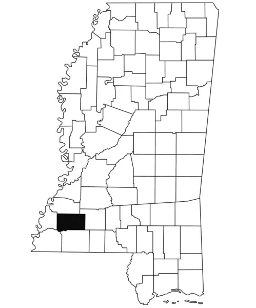
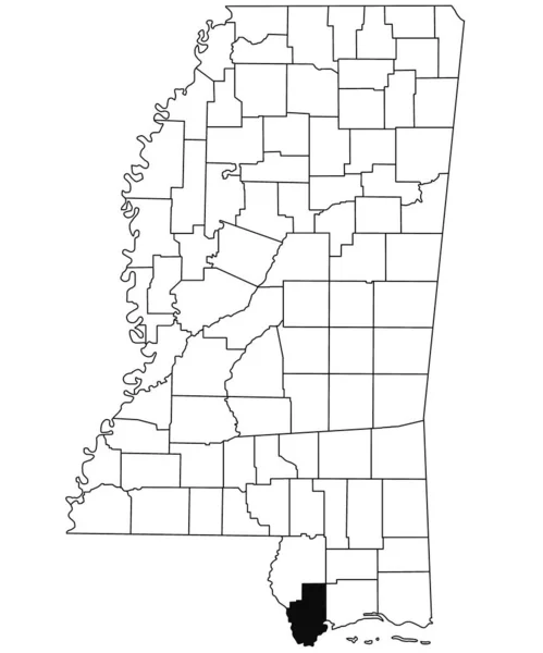
Map of Wilkinson County in Mississippi state on white background. single County map highlighted by black colour on Mississippi map. United States of America, US
Map Wilkinson County Mississippi State White Background Single County Map — Stock Photo, Image
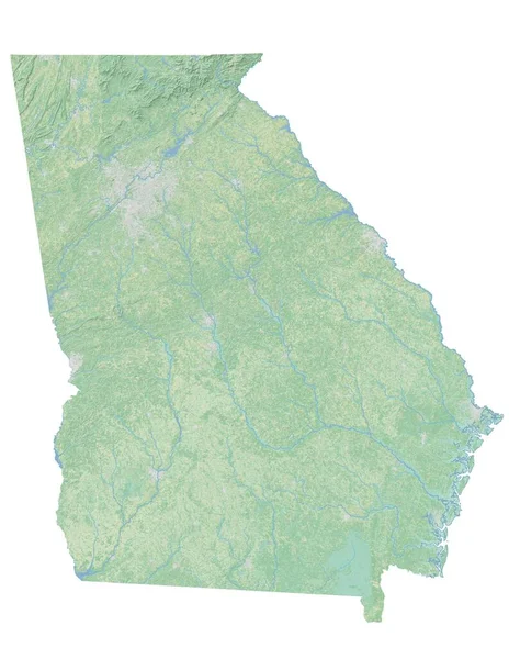
High resolution topographic map of Georgia
High resolution topographic map of Georgia — Stock Photo, Image
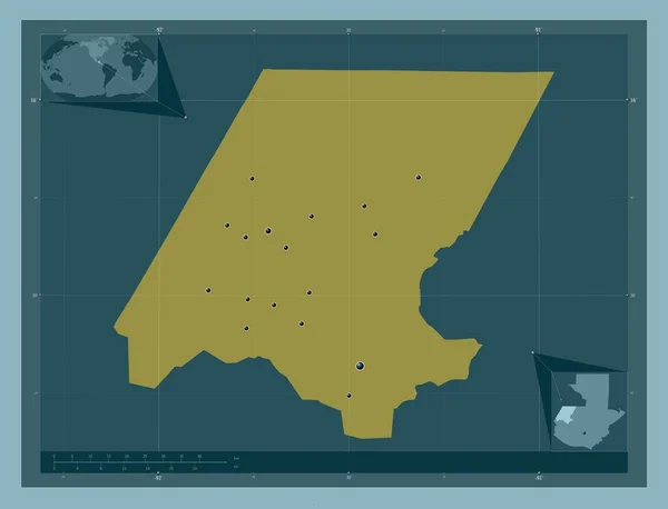
Huehuetenango, department of Guatemala. Solid color shape. Locations of major cities of the region. Corner auxiliary location maps
Huehuetenango Department Guatemala Solid Color Shape Locations Major Cities Region — Stock Photo, Image
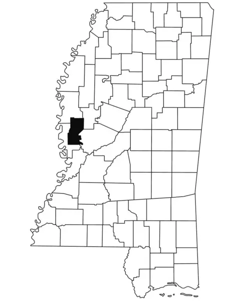
Map of Sharkey County in Mississippi state on white background. single County map highlighted by black colour on Mississippi map. United States of America, US
Map Sharkey County Mississippi State White Background Single County Map — Stock Photo, Image
Green grass with a flag of the valley
Green Grass Flag Valley — Stock Photo, Image
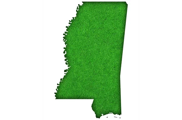
Map of Mississippi on green felt
Map Mississippi Green Felt — Stock Photo, Image
Map of Hancock County in Mississippi state on white background. single County map highlighted by black colour on Mississippi map. United States of America, US
Map Hancock County Mississippi State White Background Single County Map — Stock Photo, Image
Shape of Kolda, region of Senegal, with its capital isolated on white background. Bilevel elevation map. 3D rendering
Shape Kolda Region Senegal Its Capital Isolated White Background Bilevel — Stock Photo, Image
Upper East, region of Ghana. Open Street Map. Locations and names of major cities of the region. Corner auxiliary location maps
Upper East Region Ghana Open Street Map Locations Names Major — Stock Photo, Image
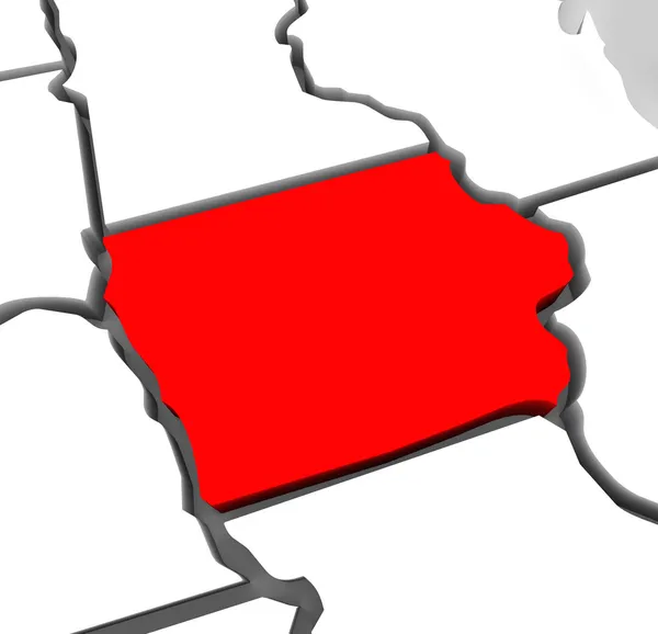
Iowa Red Abstract 3D State Map United States America
Iowa Red Abstract 3D State Map United States America — Stock Photo, Image
Map of Washington County in Mississippi state on white background. single County map highlighted by black colour on Mississippi map. United States of America, US
Map Washington County Mississippi State White Background Single County Map — Stock Photo, Image
Centre-Nord, region of Burkina Faso. Open Street Map. Locations and names of major cities of the region. Corner auxiliary location maps
Centre Nord Region Burkina Faso Open Street Map Locations Names — Stock Photo, Image
Upper East, region of Ghana. Open Street Map. Locations of major cities of the region. Corner auxiliary location maps
Upper East Region Ghana Open Street Map Locations Major Cities — Stock Photo, Image
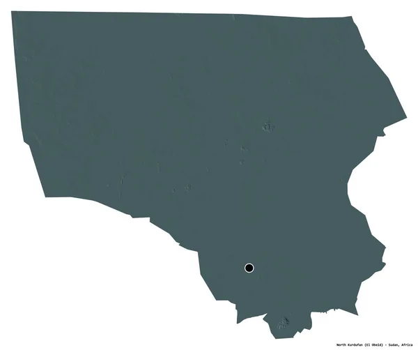
Shape of North Kurdufan, state of Sudan, with its capital isolated on white background. Colored elevation map. 3D rendering
Shape North Kurdufan State Sudan Its Capital Isolated White Background — Stock Photo, Image
Georgia Red Abstract 3D State Map United States America
Georgia Red Abstract 3D State Map United States America — Stock Photo, Image
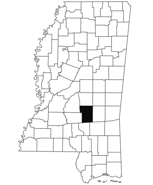
Map of Smith County in Mississippi state on white background. single County map highlighted by black colour on Mississippi map. United States of America, US
Map Smith County Mississippi State White Background Single County Map — Stock Photo, Image
Map of Simpson County in Mississippi state on white background. single County map highlighted by black colour on Mississippi map. United States of America, US
Map Simpson County Mississippi State White Background Single County Map — Stock Photo, Image
Map of Kafr el-Sheikh. Egypt.
Map of Kafr el-Sheikh. Egypt. — Stock Photo, Image
Map of tishomingo County in Mississippi state on white background. single County map highlighted by black colour on Mississippi map. United States of America, US
Map Tishomingo County Mississippi State White Background Single County Map — Stock Photo, Image
Map of union County in Mississippi state on white background. single County map highlighted by black colour on Mississippi map. United States of America, US
Map Union County Mississippi State White Background Single County Map — Stock Photo, Image
Cabanas, department of El Salvador. Open Street Map. Locations and names of major cities of the region. Corner auxiliary location maps
Cabanas Department Salvador Open Street Map Locations Names Major Cities — Stock Photo, Image
Map of Tate County in Mississippi state on white background. single County map highlighted by black colour on Mississippi map. United States of America, US
Map Tate County Mississippi State White Background Single County Map — Stock Photo, Image
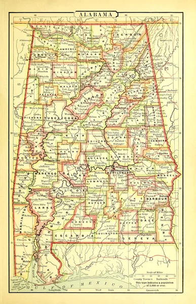
Old US state. Map
Old State Map — Stock Photo, Image

Mississippi Map Images: The Perfect Visuals for Your Projects

When it comes to finding the right images for your projects, Mississippi map images are a fantastic choice. Whether you're working on a presentation, website, or any other creative endeavor, these visuals add a professional and informative touch. In this search page overview, we'll explore the various types of stock images available, including JPG, AI, and EPS files, and provide practical advice on how to use them effectively.

1. High-Quality Stock Images in Multiple Formats

In our extensive collection, you'll find high-quality Mississippi map images in the most popular file types: JPG, AI, and EPS. These formats ensure compatibility with a wide range of software, making it easy to incorporate the visuals into your projects. Whether you need to enhance a slide deck, create stunning web graphics, or design printed materials, our versatile image formats have you covered.

New Keywords: Mississippi map visuals, digital formats, graphic design projects

2. Use Mississippi Map Images for Informative Presentations

When preparing presentations that require visual aids, a Mississippi map image can be a powerful tool. With its detailed geography and clear demarcations, such an image helps convey information effectively. Whether you're presenting data trends, discussing historical events, or showcasing regional demographics, incorporating a Mississippi map image adds depth and credibility to your content. Remember to choose the right format for your presentation software, such as a high-resolution JPG or editable AI file for seamless integration.
New Keywords: Informative presentations, data visualization, geographical accuracy

3. Enhance Your Online Presence with Dynamic Mississippi Map Graphics

Whether you're a website owner, a social media manager, or a digital marketer, utilizing Mississippi map images can significantly enhance your online presence. These visuals can be used to amplify your blog posts, create engaging social media graphics, or design eye-catching website banners. Incorporate them into your visuals to invoke a sense of location or to showcase specific points of interest. For websites, AI or EPS files can be especially helpful as they provide scalability and flexibility for different screen sizes.

New Keywords: Online presence, digital marketing, scalable graphics

4. Create Professional Print Materials with Mississippi Map Images

For those in need of print materials, Mississippi map images bring a professional and polished look to brochures, flyers, posters, and more. Whether you're promoting tourism, organizing an event, or creating educational materials, incorporating a map image can instantly elevate the design. When using these visuals for print, ensure you have access to high-resolution files like an EPS file, which guarantees crisp printing quality and sharp details.

New Keywords: Print materials, promotional materials, high resolution

In conclusion, Mississippi map images are the ideal visuals for your projects, offering versatility and visual impact across multiple formats. Whether you're creating informative presentations, enhancing your online presence, or designing professional print materials, these images can effectively communicate information and add a touch of professionalism to your work. Remember to choose the right format for your specific needs, ensuring compatibility and optimal visual quality. With our comprehensive collection of stock images, featuring JPG, AI, and EPS files, your projects are bound to stand out.