New brunswick map Stock Photos

100,000 New brunswick map pictures are available under a royalty-free license

  • Best Match
  • Fresh
  • Popular
1-100 of 100,000
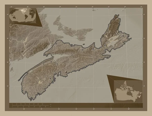
Nova Scotia, province of Canada. Elevation map colored in sepia tones with lakes and rivers. Locations of major cities of the region. Corner auxiliary location maps
Nova Scotia Province Canada Elevation Map Colored Sepia Tones Lakes — Stock Photo, Image
Southern Savonia, region of Finland. Colored elevation map with lakes and rivers. Corner auxiliary location maps
Southern Savonia Region Finland Colored Elevation Map Lakes Rivers Corner — Stock Photo, Image
Southern Savonia, region of Finland. Colored elevation map with lakes and rivers. Locations of major cities of the region. Corner auxiliary location maps
Southern Savonia Region Finland Colored Elevation Map Lakes Rivers Locations — Stock Photo, Image
Vestfold og Telemark, county of Norway. Elevation map colored in wiki style with lakes and rivers. Corner auxiliary location maps
Vestfold Telemark County Norway Elevation Map Colored Wiki Style Lakes — Stock Photo, Image
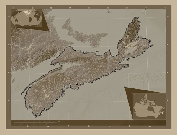
Nova Scotia, province of Canada. Elevation map colored in sepia tones with lakes and rivers. Corner auxiliary location maps
Nova Scotia Province Canada Elevation Map Colored Sepia Tones Lakes — Stock Photo, Image
Map Guinea-Bissau. Isolated Illustration. Black on White background.
Map Guinea Bissau Isolated Illustration Black White Background — Stock Photo, Image
East Kazakhstan, region of Kazakhstan. Solid color shape. Locations and names of major cities of the region. Corner auxiliary location maps
East Kazakhstan Region Kazakhstan Solid Color Shape Locations Names Major — Stock Photo, Image
Canada - Hand-Drawn Map lllustration
Canada Hand Drawn Map Lllustration — Stock Photo, Image
Central Finland, region of Finland. Elevation map colored in wiki style with lakes and rivers. Locations of major cities of the region. Corner auxiliary location maps
Central Finland Region Finland Elevation Map Colored Wiki Style Lakes — Stock Photo, Image
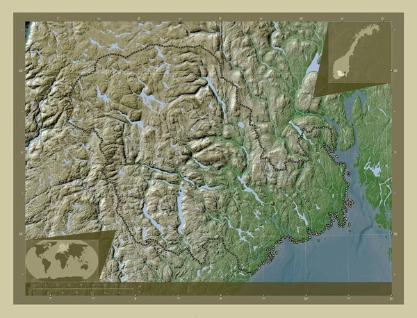
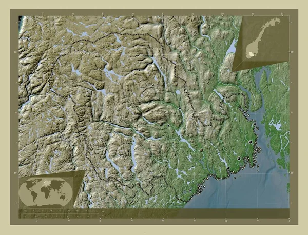
Vestfold og Telemark, county of Norway. Elevation map colored in wiki style with lakes and rivers. Locations of major cities of the region. Corner auxiliary location maps
Vestfold Telemark County Norway Elevation Map Colored Wiki Style Lakes — Stock Photo, Image
Central Finland, region of Finland. Elevation map colored in wiki style with lakes and rivers. Corner auxiliary location maps
Central Finland Region Finland Elevation Map Colored Wiki Style Lakes — Stock Photo, Image
North Mitrovica, municipality of Kosovo. Solid color shape. Corner auxiliary location maps
North Mitrovica Municipality Kosovo Solid Color Shape Corner Auxiliary Location — Stock Photo, Image
North Mitrovica, municipality of Kosovo. Solid color shape. Locations of major cities of the region. Corner auxiliary location maps
North Mitrovica Municipality Kosovo Solid Color Shape Locations Major Cities — Stock Photo, Image
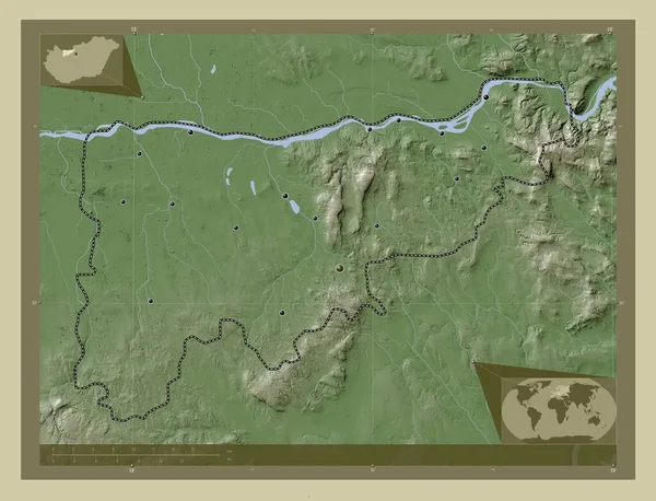
Komarom-Esztergom, county of Hungary. Elevation map colored in wiki style with lakes and rivers. Locations of major cities of the region. Corner auxiliary location maps
Komarom Esztergom County Hungary Elevation Map Colored Wiki Style Lakes — Stock Photo, Image
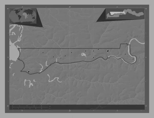
North Bank, division of Gambia. Bilevel elevation map with lakes and rivers. Locations of major cities of the region. Corner auxiliary location maps
North Bank Division Gambia Bilevel Elevation Map Lakes Rivers Locations — Stock Photo, Image
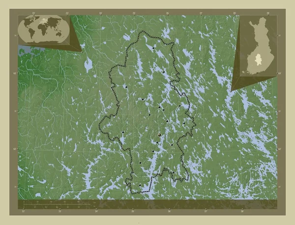
Central Finland, region of Finland. Elevation map colored in wiki style with lakes and rivers. Locations and names of major cities of the region. Corner auxiliary location maps
Central Finland Region Finland Elevation Map Colored Wiki Style Lakes — Stock Photo, Image
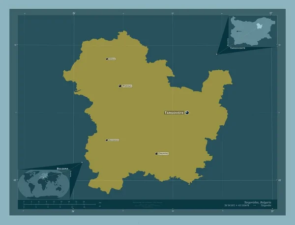
Targovishte, province of Bulgaria. Solid color shape. Locations and names of major cities of the region. Corner auxiliary location maps
Targovishte Province Bulgaria Solid Color Shape Locations Names Major Cities — Stock Photo, Image
East Azarbaijan, province of Iran. Solid color shape. Locations and names of major cities of the region. Corner auxiliary location maps
East Azarbaijan Province Iran Solid Color Shape Locations Names Major — Stock Photo, Image
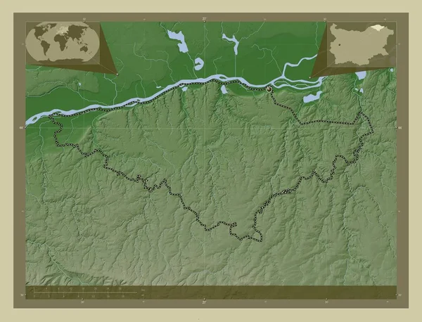
Silistra, province of Bulgaria. Elevation map colored in wiki style with lakes and rivers. Corner auxiliary location maps
Silistra Province Bulgaria Elevation Map Colored Wiki Style Lakes Rivers — Stock Photo, Image
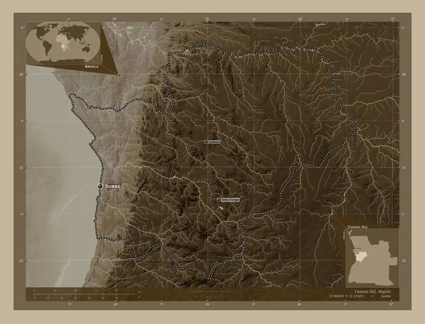
Cuanza Sul, province of Angola. Elevation map colored in sepia tones with lakes and rivers. Locations and names of major cities of the region. Corner auxiliary location maps
Cuanza Sul Province Angola Elevation Map Colored Sepia Tones Lakes — Stock Photo, Image
Southern Savonia, region of Finland. Colored elevation map with lakes and rivers. Locations and names of major cities of the region. Corner auxiliary location maps
Southern Savonia Region Finland Colored Elevation Map Lakes Rivers Locations — Stock Photo, Image
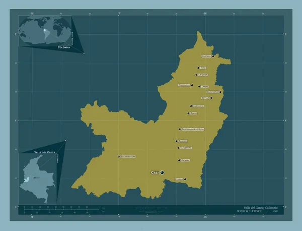
Valle del Cauca, department of Colombia. Solid color shape. Locations and names of major cities of the region. Corner auxiliary location maps
Valle Del Cauca Department Colombia Solid Color Shape Locations Names — Stock Photo, Image
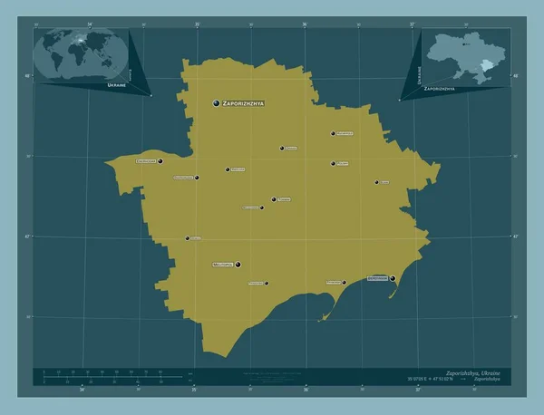
Zaporizhzhya, region of Ukraine. Solid color shape. Locations and names of major cities of the region. Corner auxiliary location maps
Zaporizhzhya Region Ukraine Solid Color Shape Locations Names Major Cities — Stock Photo, Image
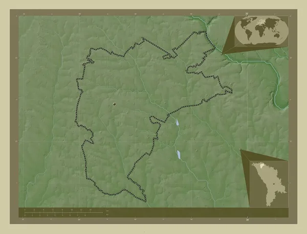
Drochia, district of Moldova. Elevation map colored in wiki style with lakes and rivers. Locations of major cities of the region. Corner auxiliary location maps
Drochia District Moldova Elevation Map Colored Wiki Style Lakes Rivers — Stock Photo, Image
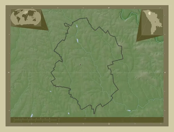
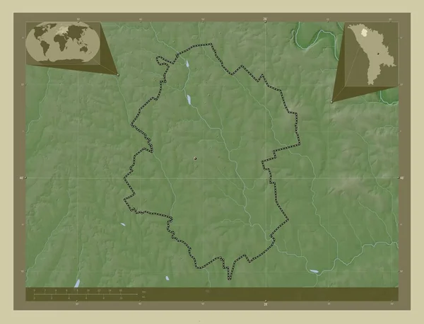
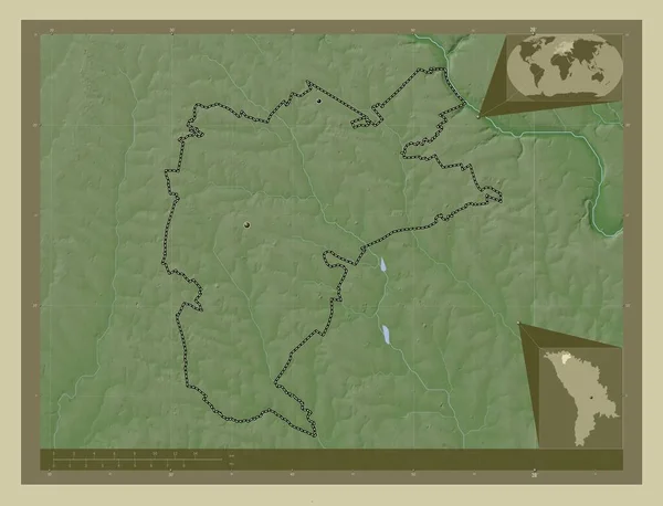
Drochia, district of Moldova. Elevation map colored in wiki style with lakes and rivers. Corner auxiliary location maps
Drochia District Moldova Elevation Map Colored Wiki Style Lakes Rivers — Stock Photo, Image
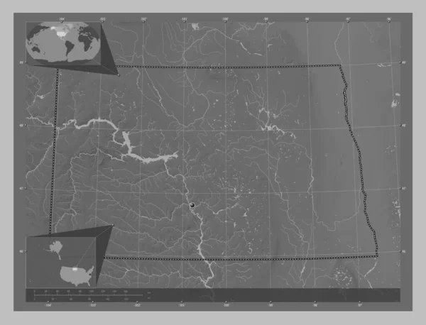
North Dakota, state of United States of America. Grayscale elevation map with lakes and rivers. Corner auxiliary location maps
North Dakota State United States America Grayscale Elevation Map Lakes — Stock Photo, Image
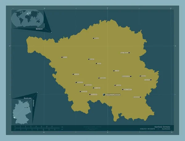
Saarland, state of Germany. Solid color shape. Locations and names of major cities of the region. Corner auxiliary location maps
Saarland State Germany Solid Color Shape Locations Names Major Cities — Stock Photo, Image
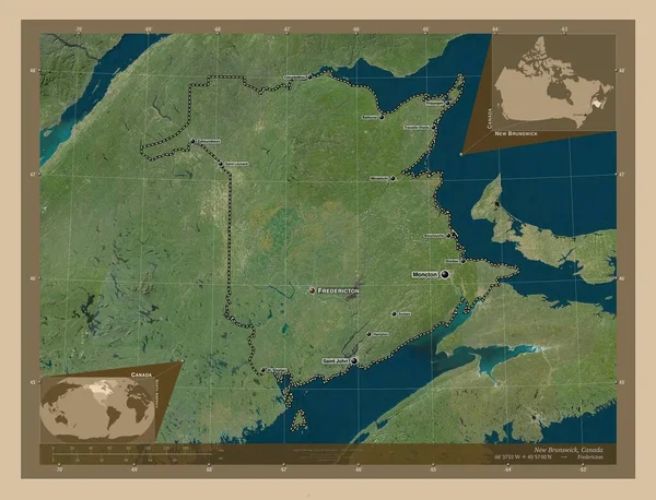
New Brunswick, province of Canada. Low resolution satellite map. Locations and names of major cities of the region. Corner auxiliary location maps
New Brunswick Province Canada Low Resolution Satellite Map Locations Names — Stock Photo, Image
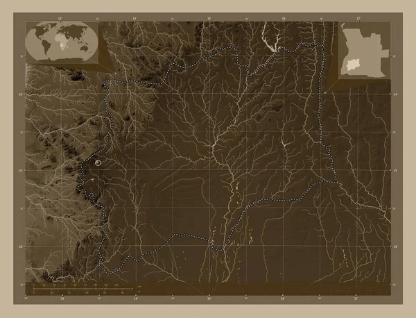
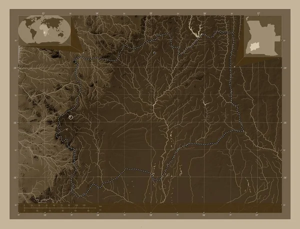
Huila, province of Angola. Elevation map colored in sepia tones with lakes and rivers. Corner auxiliary location maps
Huila Province Angola Elevation Map Colored Sepia Tones Lakes Rivers — Stock Photo, Image
Polygonal 2D Mesh High Detail Raster Map of Newfoundland Island Abstractions
Polygonal 2D Mesh High Detail Raster Map of Newfoundland Island Abstractions — Stock Photo, Image
Jiangxi, province of China. Colored elevation map with lakes and rivers. Locations of major cities of the region. Corner auxiliary location maps
Jiangxi Province China Colored Elevation Map Lakes Rivers Locations Major — Stock Photo, Image
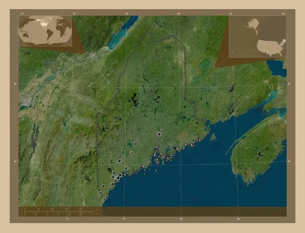
Maine, state of United States of America. Low resolution satellite map. Locations of major cities of the region. Corner auxiliary location maps
Maine State United States America Low Resolution Satellite Map Locations — Stock Photo, Image
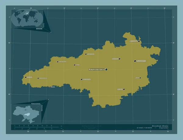
Kirovohrad, region of Ukraine. Solid color shape. Locations and names of major cities of the region. Corner auxiliary location maps
Kirovohrad Region Ukraine Solid Color Shape Locations Names Major Cities — Stock Photo, Image
Al-Basrah, province of Iraq. Bilevel elevation map with lakes and rivers. Corner auxiliary location maps
Basrah Province Iraq Bilevel Elevation Map Lakes Rivers Corner Auxiliary — Stock Photo, Image
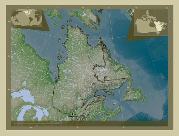
Quebec, province of Canada. Elevation map colored in wiki style with lakes and rivers. Locations of major cities of the region. Corner auxiliary location maps
Quebec Province Canada Elevation Map Colored Wiki Style Lakes Rivers — Stock Photo, Image
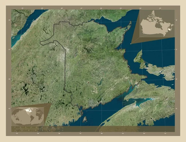
New Brunswick, province of Canada. High resolution satellite map. Corner auxiliary location maps
New Brunswick Province Canada High Resolution Satellite Map Corner Auxiliary — Stock Photo, Image
New Brunswick, province of Canada. High resolution satellite map. Locations of major cities of the region. Corner auxiliary location maps
New Brunswick Province Canada High Resolution Satellite Map Locations Major — Stock Photo, Image
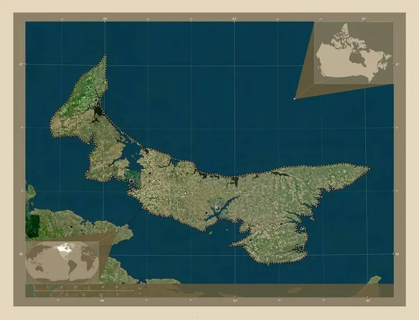
Prince Edward Island, province of Canada. High resolution satellite map. Corner auxiliary location maps
Prince Edward Island Province Canada High Resolution Satellite Map Corner — Stock Photo, Image
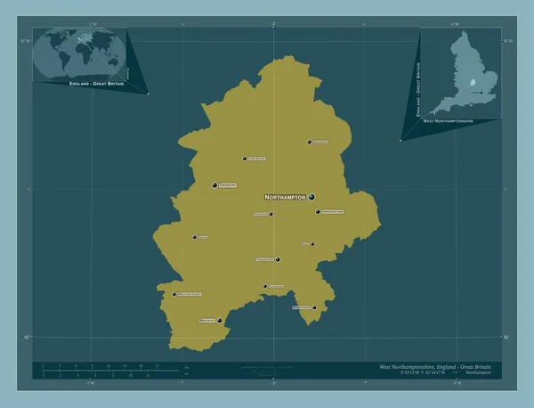
West Northamptonshire, unitary authority of England - Great Britain. Solid color shape. Locations and names of major cities of the region. Corner auxiliary location maps
West Northamptonshire Unitary Authority England Great Britain Solid Color Shape — Stock Photo, Image
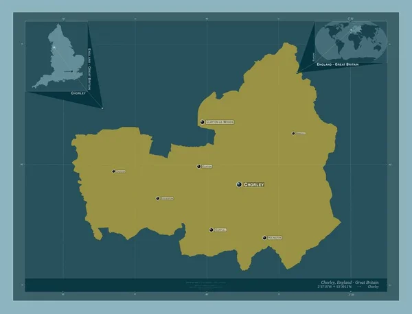
Chorley, non metropolitan district of England - Great Britain. Solid color shape. Locations and names of major cities of the region. Corner auxiliary location maps
Chorley Non Metropolitan District England Great Britain Solid Color Shape — Stock Photo, Image
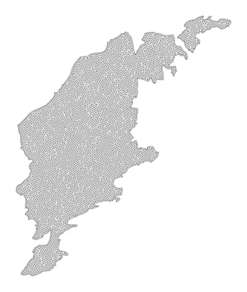
Polygonal Network Mesh High Resolution Raster Map of Gotland Island Abstractions
Polygonal Network Mesh High Resolution Raster Map of Gotland Island Abstractions — Stock Photo, Image
Satakunta, region of Finland. High resolution satellite map. Locations and names of major cities of the region. Corner auxiliary location maps
Satakunta Region Finland High Resolution Satellite Map Locations Names Major — Stock Photo, Image
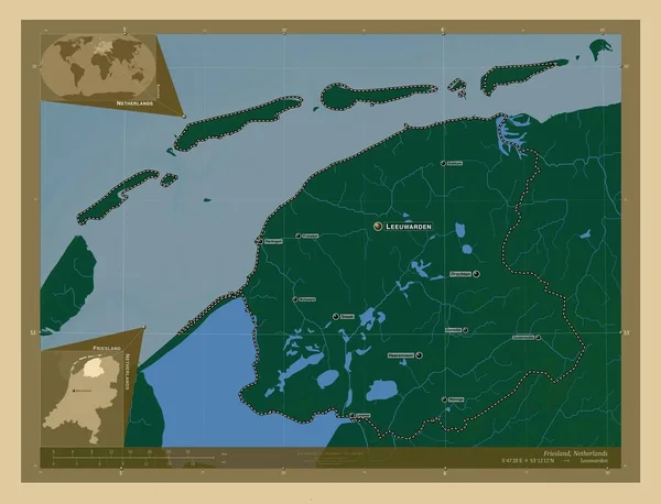
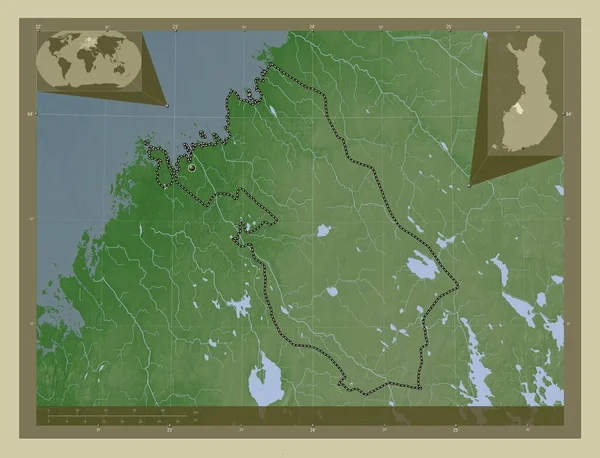
Friesland, province of Netherlands. Colored elevation map with lakes and rivers. Locations and names of major cities of the region. Corner auxiliary location maps
Friesland Province Netherlands Colored Elevation Map Lakes Rivers Locations Names — Stock Photo, Image
New Brunswick, province of Canada. Low resolution satellite map. Corner auxiliary location maps
New Brunswick Province Canada Low Resolution Satellite Map Corner Auxiliary — Stock Photo, Image
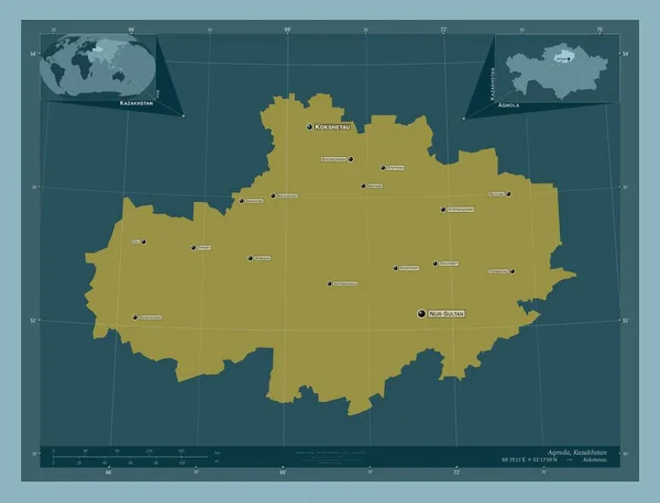
Aqmola, region of Kazakhstan. Solid color shape. Locations and names of major cities of the region. Corner auxiliary location maps
Aqmola Region Kazakhstan Solid Color Shape Locations Names Major Cities — Stock Photo, Image
Donduseni, district of Moldova. Elevation map colored in wiki style with lakes and rivers. Corner auxiliary location maps
Donduseni District Moldova Elevation Map Colored Wiki Style Lakes Rivers — Stock Photo, Image
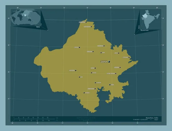
Rajasthan, state of India. Solid color shape. Locations and names of major cities of the region. Corner auxiliary location maps
Rajasthan State India Solid Color Shape Locations Names Major Cities — Stock Photo, Image
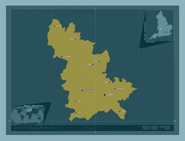
Wychavon, non metropolitan district of England - Great Britain. Solid color shape. Locations and names of major cities of the region. Corner auxiliary location maps
Wychavon Non Metropolitan District England Great Britain Solid Color Shape — Stock Photo, Image
Southern Savonia, region of Finland. Elevation map colored in wiki style with lakes and rivers. Locations and names of major cities of the region. Corner auxiliary location maps
Southern Savonia Region Finland Elevation Map Colored Wiki Style Lakes — Stock Photo, Image
Donduseni, district of Moldova. Elevation map colored in wiki style with lakes and rivers. Locations of major cities of the region. Corner auxiliary location maps
Donduseni District Moldova Elevation Map Colored Wiki Style Lakes Rivers — Stock Photo, Image
Quebec, province of Canada. Elevation map colored in wiki style with lakes and rivers. Corner auxiliary location maps
Quebec Province Canada Elevation Map Colored Wiki Style Lakes Rivers — Stock Photo, Image
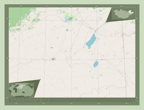
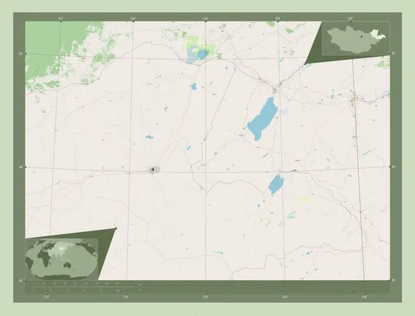
Dornod, province of Mongolia. Open Street Map. Corner auxiliary location maps
Dornod Province Mongolia Open Street Map Corner Auxiliary Location Maps — Stock Photo, Image
Dornod, province of Mongolia. Open Street Map. Locations of major cities of the region. Corner auxiliary location maps
Dornod Province Mongolia Open Street Map Locations Major Cities Region — Stock Photo, Image
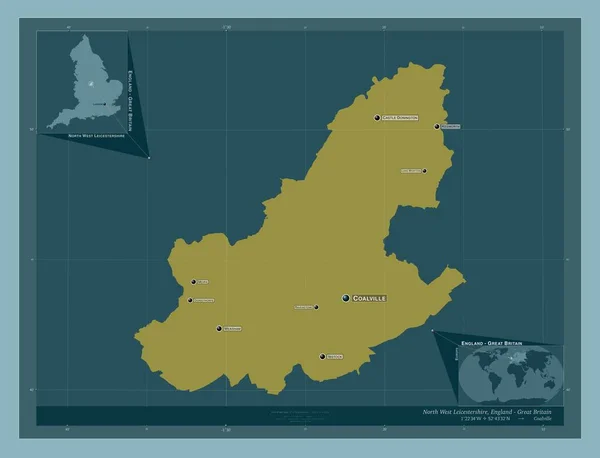
North West Leicestershire, non metropolitan district of England - Great Britain. Solid color shape. Locations and names of major cities of the region. Corner auxiliary location maps
North West Leicestershire Non Metropolitan District England Great Britain Solid — Stock Photo, Image
Dhaka, division of Bangladesh. Solid color shape. Locations and names of major cities of the region. Corner auxiliary location maps
Dhaka Division Bangladesh Solid Color Shape Locations Names Major Cities — Stock Photo, Image
Midtjylland, region of Denmark. Colored elevation map with lakes and rivers. Locations of major cities of the region. Corner auxiliary location maps
Midtjylland Region Denmark Colored Elevation Map Lakes Rivers Locations Major — Stock Photo, Image
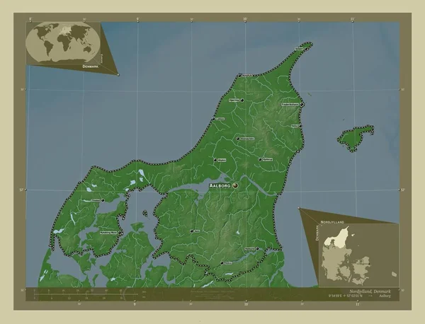
Nordjylland, region of Denmark. Elevation map colored in wiki style with lakes and rivers. Locations and names of major cities of the region. Corner auxiliary location maps
Nordjylland Region Denmark Elevation Map Colored Wiki Style Lakes Rivers — Stock Photo, Image
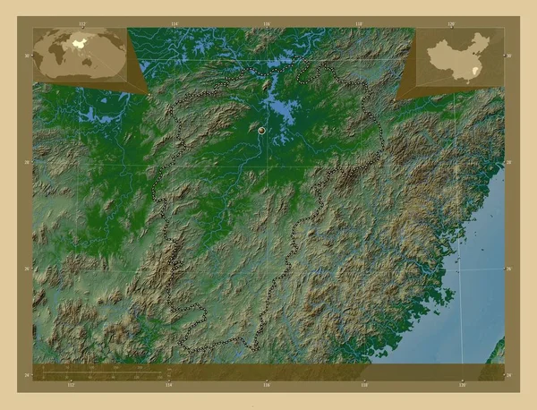
Jiangxi, province of China. Colored elevation map with lakes and rivers. Corner auxiliary location maps
Jiangxi Province China Colored Elevation Map Lakes Rivers Corner Auxiliary — Stock Photo, Image
Huila, province of Angola. Elevation map colored in sepia tones with lakes and rivers. Locations of major cities of the region. Corner auxiliary location maps
Huila Province Angola Elevation Map Colored Sepia Tones Lakes Rivers — Stock Photo, Image
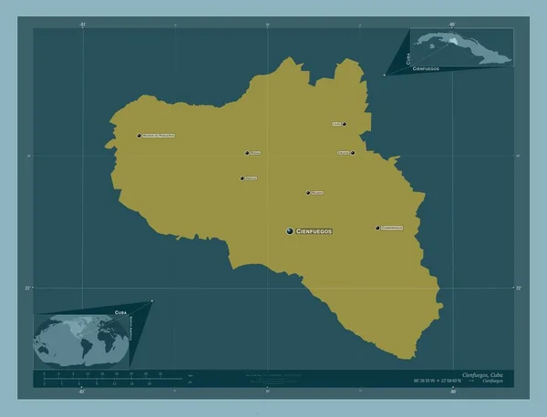
Cienfuegos, province of Cuba. Solid color shape. Locations and names of major cities of the region. Corner auxiliary location maps
Cienfuegos Province Cuba Solid Color Shape Locations Names Major Cities — Stock Photo, Image
Prey Veng, province of Cambodia. Elevation map colored in wiki style with lakes and rivers. Locations of major cities of the region. Corner auxiliary location maps
Prey Veng Province Cambodia Elevation Map Colored Wiki Style Lakes — Stock Photo, Image
Prey Veng, province of Cambodia. Elevation map colored in wiki style with lakes and rivers. Corner auxiliary location maps
Prey Veng Province Cambodia Elevation Map Colored Wiki Style Lakes — Stock Photo, Image
Central Ostrobothnia, region of Finland. Elevation map colored in wiki style with lakes and rivers. Corner auxiliary location maps
Central Ostrobothnia Region Finland Elevation Map Colored Wiki Style Lakes — Stock Photo, Image
Equateur, province of Democratic Republic of the Congo. Solid color shape. Corner auxiliary location maps
Equateur Province Democratic Republic Congo Solid Color Shape Corner Auxiliary — Stock Photo, Image
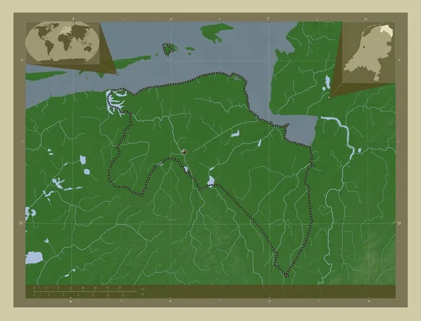
Groningen, province of Netherlands. Elevation map colored in wiki style with lakes and rivers. Corner auxiliary location maps
Groningen Province Netherlands Elevation Map Colored Wiki Style Lakes Rivers — Stock Photo, Image
Uzbekistan - Hand-Drawn Map lllustration
Uzbekistan Hand Drawn Map Lllustration — Stock Photo, Image
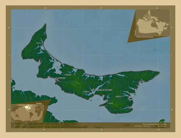
Prince Edward Island, province of Canada. Colored elevation map with lakes and rivers. Locations and names of major cities of the region. Corner auxiliary location maps
Prince Edward Island Province Canada Colored Elevation Map Lakes Rivers — Stock Photo, Image
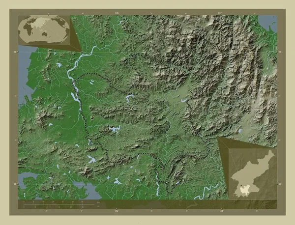
Hwanghae-bukto, province of North Korea. Elevation map colored in wiki style with lakes and rivers. Corner auxiliary location maps
Hwanghae Bukto Province North Korea Elevation Map Colored Wiki Style — Stock Photo, Image
Nova Scotia, province of Canada. Low resolution satellite map. Locations of major cities of the region. Corner auxiliary location maps
Nova Scotia Province Canada Low Resolution Satellite Map Locations Major — Stock Photo, Image
Salta, province of Argentina. Solid color shape. Locations and names of major cities of the region. Corner auxiliary location maps
Salta Province Argentina Solid Color Shape Locations Names Major Cities — Stock Photo, Image
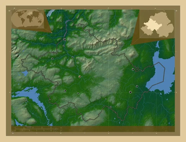
Tyrone, region of Northern Ireland. Colored elevation map with lakes and rivers. Locations of major cities of the region. Corner auxiliary location maps
Tyrone Region Northern Ireland Colored Elevation Map Lakes Rivers Locations — Stock Photo, Image
Nova Scotia, province of Canada. Low resolution satellite map. Corner auxiliary location maps
Nova Scotia Province Canada Low Resolution Satellite Map Corner Auxiliary — Stock Photo, Image
Map of Isle of Man, geographical map
Map Isle Man Geographical Map — Stock Photo, Image
Newfoundland and Labrador, province of Canada. Low resolution satellite map. Locations of major cities of the region. Corner auxiliary location maps
Newfoundland Labrador Province Canada Low Resolution Satellite Map Locations Major — Stock Photo, Image
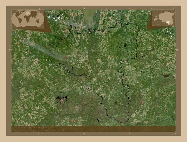
Valga, county of Estonia. Low resolution satellite map. Corner auxiliary location maps
Valga County Estonia Low Resolution Satellite Map Corner Auxiliary Location — Stock Photo, Image
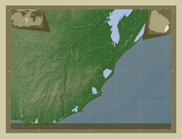
Rocha, department of Uruguay. Elevation map colored in wiki style with lakes and rivers. Locations of major cities of the region. Corner auxiliary location maps
Rocha Department Uruguay Elevation Map Colored Wiki Style Lakes Rivers — Stock Photo, Image
A sheet of paper torn to pieces isolated on white background
Sheet Paper Torn Pieces Isolated White Background — Stock Photo, Image
Antwerpen, province of Belgium. Elevation map colored in wiki style with lakes and rivers. Locations of major cities of the region. Corner auxiliary location maps
Antwerpen Province Belgium Elevation Map Colored Wiki Style Lakes Rivers — Stock Photo, Image
New Brunswick, province of Canada. Low resolution satellite map. Locations of major cities of the region. Corner auxiliary location maps
New Brunswick Province Canada Low Resolution Satellite Map Locations Major — Stock Photo, Image
Centre-Ouest, region of Burkina Faso. Colored elevation map with lakes and rivers. Locations and names of major cities of the region. Corner auxiliary location maps
Centre Ouest Region Burkina Faso Colored Elevation Map Lakes Rivers — Stock Photo, Image
Polygonal Wire Frame Mesh High Detail Raster Map of South Australia Abstractions
Polygonal Wire Frame Mesh High Detail Raster Map of South Australia Abstractions — Stock Photo, Image
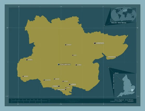
Essex, administrative county of England - Great Britain. Solid color shape. Locations and names of major cities of the region. Corner auxiliary location maps
Essex Administrative County England Great Britain Solid Color Shape Locations — Stock Photo, Image
Haskovo, province of Bulgaria. Solid color shape. Locations and names of major cities of the region. Corner auxiliary location maps
Haskovo Province Bulgaria Solid Color Shape Locations Names Major Cities — Stock Photo, Image
Prince Edward Island, province of Canada. High resolution satellite map. Locations of major cities of the region. Corner auxiliary location maps
Prince Edward Island Province Canada High Resolution Satellite Map Locations — Stock Photo, Image
Abstract monochrome surface, grungy textured background
Abstract Monochrome Surface Grungy Textured Background — Stock Photo, Image
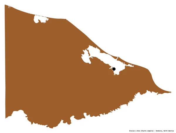
Shape of Gracias a Dios, department of Honduras, with its capital isolated on white background. Composition of patterned textures. 3D rendering
Shape Gracias Dios Department Honduras Its Capital Isolated White Background — Stock Photo, Image
Uusimaa, region of Finland. Colored elevation map with lakes and rivers. Corner auxiliary location maps
Uusimaa Region Finland Colored Elevation Map Lakes Rivers Corner Auxiliary — Stock Photo, Image
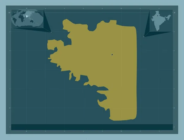
Karaikal District - Puducherry, district of the union territory of India. Solid color shape. Corner auxiliary location maps
Karaikal District Puducherry District Union Territory India Solid Color Shape — Stock Photo, Image
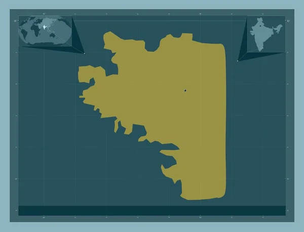
Karaikal District - Puducherry, district of the union territory of India. Solid color shape. Locations of major cities of the region. Corner auxiliary location maps
Karaikal District Puducherry District Union Territory India Solid Color Shape — Stock Photo, Image
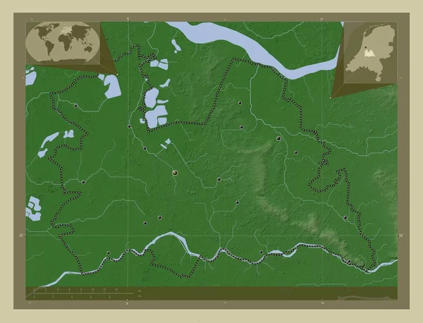
Utrecht, province of Netherlands. Elevation map colored in wiki style with lakes and rivers. Locations of major cities of the region. Corner auxiliary location maps
Utrecht Province Netherlands Elevation Map Colored Wiki Style Lakes Rivers — Stock Photo, Image
Staffordshire, administrative county of England - Great Britain. Solid color shape
Staffordshire Administrative County England Great Britain Solid Color Shape — Stock Photo, Image
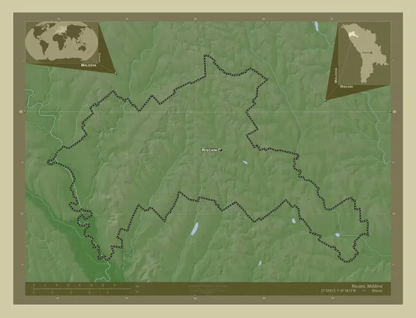
Riscani, district of Moldova. Elevation map colored in wiki style with lakes and rivers. Locations and names of major cities of the region. Corner auxiliary location maps
Riscani District Moldova Elevation Map Colored Wiki Style Lakes Rivers — Stock Photo, Image
Osjecko-Baranjska, county of Croatia. Low resolution satellite map. Locations and names of major cities of the region. Corner auxiliary location maps
Osjecko Baranjska County Croatia Low Resolution Satellite Map Locations Names — Stock Photo, Image
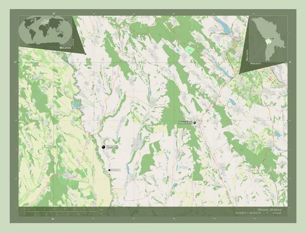
Hincesti, district of Moldova. Open Street Map. Locations and names of major cities of the region. Corner auxiliary location maps
Hincesti District Moldova Open Street Map Locations Names Major Cities — Stock Photo, Image
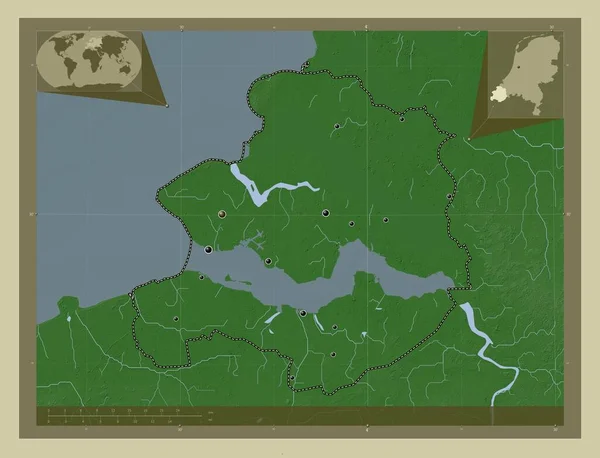
Zeeland, province of Netherlands. Elevation map colored in wiki style with lakes and rivers. Locations of major cities of the region. Corner auxiliary location maps
Zeeland Province Netherlands Elevation Map Colored Wiki Style Lakes Rivers — Stock Photo, Image
Niger map blue print artwork illustration silhouette
Niger map blue print artwork illustration silhouette — Stock Photo, Image
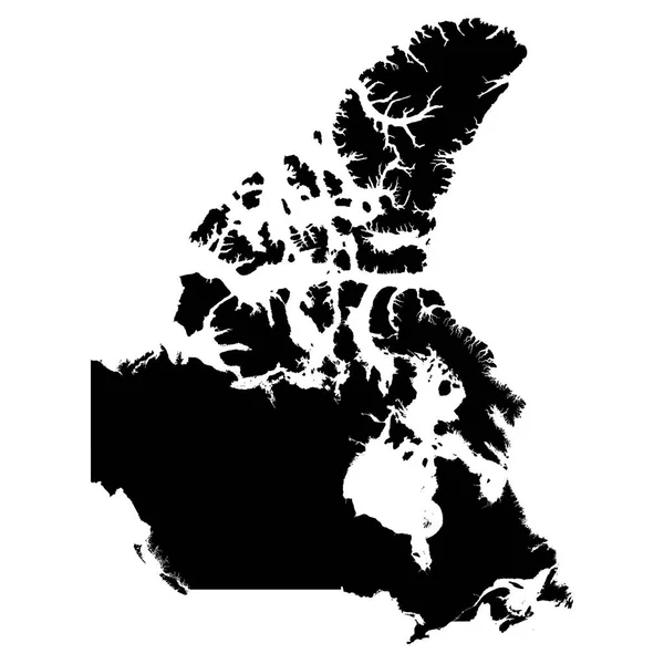
Canada Black Silhouette Map Outline Isolated on White 3D Illustration
Canada Black Silhouette Map Outline Isolated on White 3D Illustration — Stock Photo, Image
Baghdad, province of Iraq. Solid color shape. Locations and names of major cities of the region. Corner auxiliary location maps
Baghdad Province Iraq Solid Color Shape Locations Names Major Cities — Stock Photo, Image
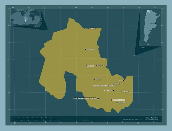
Jujuy, province of Argentina. Solid color shape. Locations and names of major cities of the region. Corner auxiliary location maps
Jujuy Province Argentina Solid Color Shape Locations Names Major Cities — Stock Photo, Image
Ostrobothnia, region of Finland. Elevation map colored in wiki style with lakes and rivers. Locations of major cities of the region. Corner auxiliary location maps
Ostrobothnia Region Finland Elevation Map Colored Wiki Style Lakes Rivers — Stock Photo, Image

Related image searches

Find Stunning Stock Images of New Brunswick with our Diverse Collection

Are you in search of captivating visuals for your next project? Look no further! Our curated collection of stock images offers a wide array of options featuring the picturesque landscapes and attractions of New Brunswick. Whether you are designing a website, creating a brochure, or enhancing your marketing materials, our high-quality images are designed to meet your needs. From breathtaking maps showcasing the beauty of New Brunswick to detailed illustrations, we have it all.

1. Discover the Charm of New Brunswick with Exquisite Map Images

Our collection includes a variety of visually stunning New Brunswick map images. These maps highlight the diverse regions, cities, and landmarks that make this province so unique. Whether you need a general overview or a detailed map for a specific purpose, we have the perfect image for you. The maps are available in JPG format, ensuring compatibility with a wide range of design projects.

When incorporating map images into your designs, consider placing them on websites, brochures, or informational materials to provide viewers with a visual guide to the area. Showcasing New Brunswick's beauty through these maps can transport your audience and create a desire to explore this remarkable province.

2. Enhance Your Designs with Eye-Catching Illustrations

In addition to map images, our collection also offers a selection of captivating illustrations. These illustrations bring to life the unique culture, history, and natural wonders of New Brunswick. From iconic lighthouses to vibrant festivals, our illustrations can add a touch of charm and authenticity to your designs.

Consider utilizing these illustrations in travel guides, promotional posters, or educational materials to engage and captivate your audience. With the versatility of AI and EPS file formats, you have full control over scaling and customization, ensuring your designs are flawless in every aspect.

3. Practical Tips for Using New Brunswick Images in Your Projects

To make the most of your chosen New Brunswick images, here are some practical tips to ensure you create visually appealing and impactful designs:

  • Choose an image that aligns with the purpose and tone of your project. Whether it's a bold and vibrant illustration or a serene and tranquil map, selecting the right visual will enhance the message you wish to convey.
  • Consider the placement and size of the image within your design. Images should seamlessly integrate with the overall layout and draw the viewer's attention to the key elements.
  • Ensure the images you select are of high quality to maintain professionalism and clarity in your designs. Blurred or pixelated images can detract from the desired impact.
  • Experiment with different image formats to optimize compatibility with your preferred design software. JPG, AI, and EPS formats offer flexibility and ease of use in various applications.
  • Integrate images strategically throughout your project to create visual interest and prevent monotony. Balancing images with text and whitespace is essential for a visually pleasing composition.

4. Choose from a Diverse Range of New Brunswick Images

Our collection of New Brunswick images goes beyond maps and illustrations. We also offer breathtaking photographs capturing the province's stunning landscapes, vibrant cityscapes, and cultural events. Whether you need images for tourism campaigns, editorial content, or social media graphics, we have a wide variety to suit your needs.

From the majestic Bay of Fundy to the historic charm of Saint John, our collection showcases the best of New Brunswick. With our diverse range of images, you have the opportunity to convey the unique essence of this province and create visually captivating designs.

Unlock the power of New Brunswick imagery with our collection of stock images. Immerse your audience in the beauty and charm of this remarkable province, and elevate your designs to new heights.