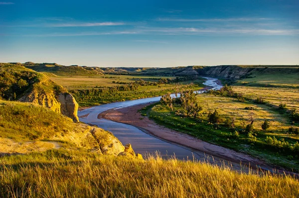
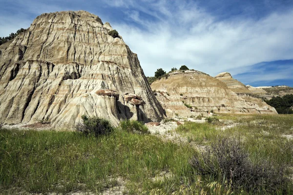
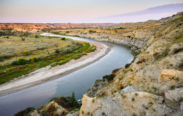
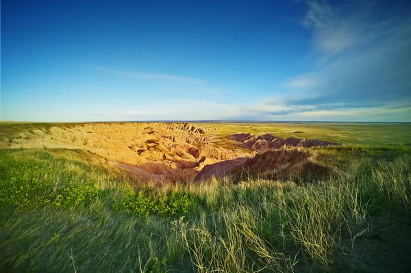
North Dakota Badlands
North Dakota Badlands — Stock Photo, Image
North Dakota Bandlands
North Dakota Bandlands — Stock Photo, Image
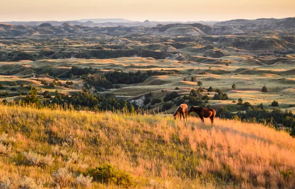
Theodore Roosevelt National Park
Theodore Roosevelt National Park — Stock Photo, Image
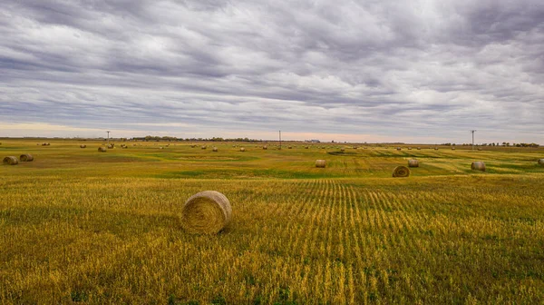
A bale of hay sitting in the middle of a field in the great plains of North Dakota.
Bale Hay Sitting Middle Field Great Plains North Dakota — Stock Photo, Image
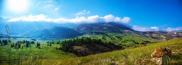
Mountain landscape
Mountain landscape — Stock Photo, Image
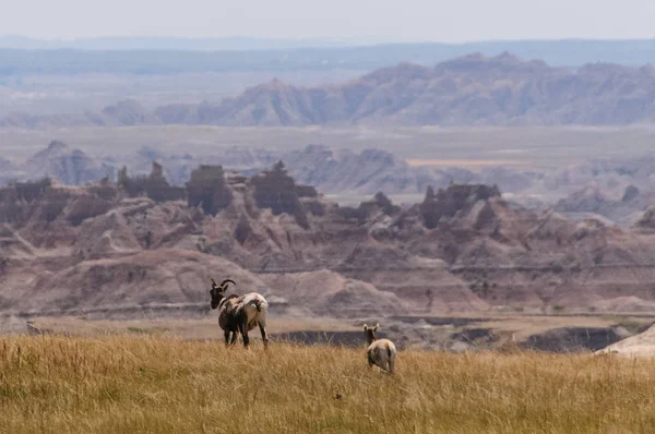
Sig Horn Sheep
Sig Horn Sheep — Stock Photo, Image
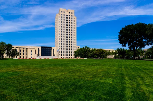
State Capitol of North Dakota
State Capitol of North Dakota — Stock Photo, Image
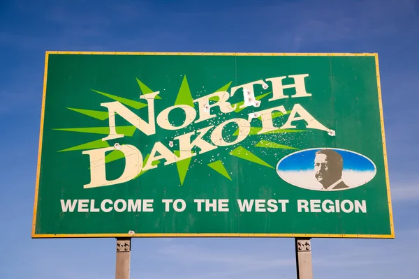
Welcom to North Dakota Highway Sign Bullet Holes
Welcom to North Dakota Highway Sign Bullet Holes — Stock Photo, Image
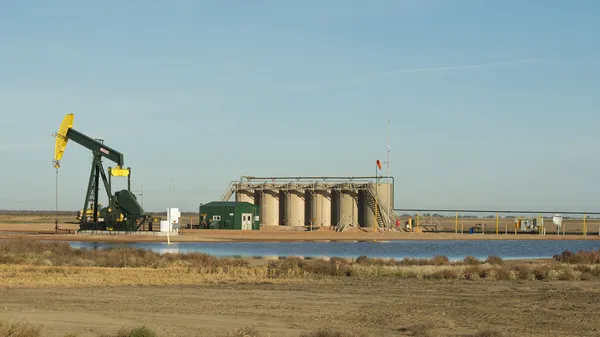
Oil Wells in North Dakota
Oil Wells in North Dakota — Stock Photo, Image
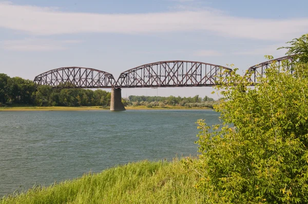
Railroad bridge
Railroad bridge — Stock Photo, Image
North Dakota Capital Building in Bismarck, ND
North Dakota Capital Building Bismarck — Stock Photo, Image
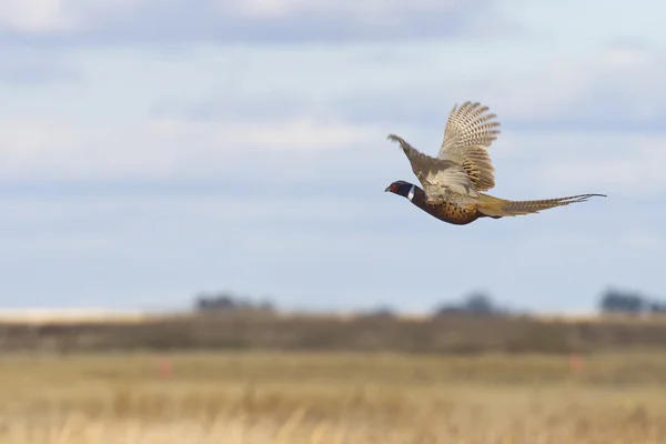
Flying Rooster Pheasant
Flying Rooster Pheasant — Stock Photo, Image
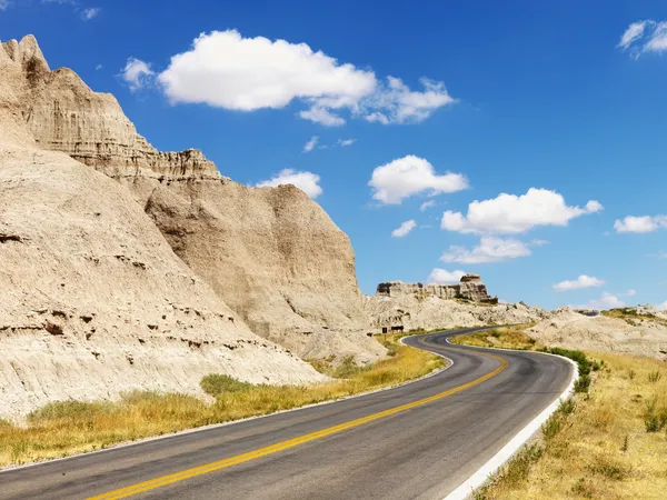
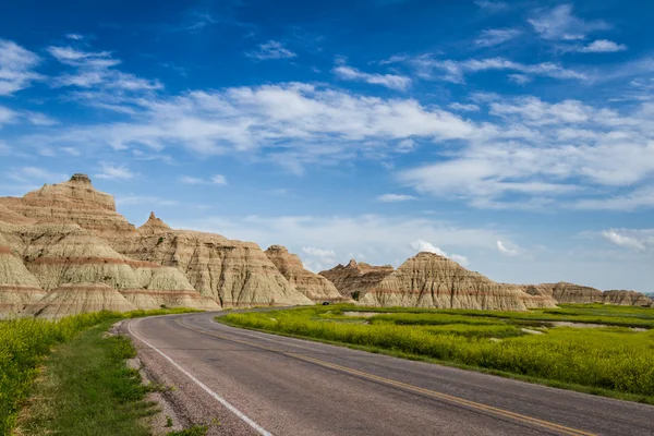
Road Through the Badlands
Road Through the Badlands — Stock Photo, Image
Flying Rooster Pheasant
Flying Rooster Pheasant — Stock Photo, Image
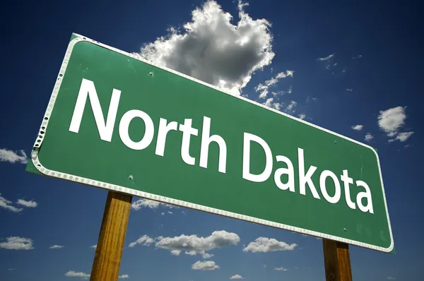
North Dakota Road Sign
North Dakota Road Sign — Stock Photo, Image
Badlands, North Dakota.
Badlands, North Dakota. — Stock Photo, Image
North Dakota State Capitol Building
North Dakota State Capitol Building — Stock Photo, Image
Three-dimensional map of North Dakota. USA.
Three-dimensional map of North Dakota. USA. — Stock Photo, Image
North Dakota State flag
North Dakota State flag — Stock Photo, Image
Theodore Roosevelt National Park
Theodore Roosevelt National Park — Stock Photo, Image
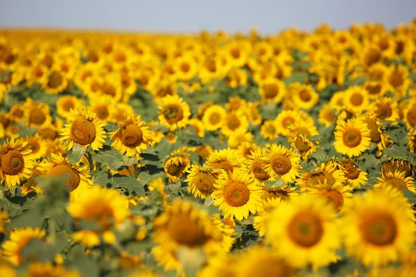
Sunflowers close up
Sunflowers close up — Stock Photo, Image
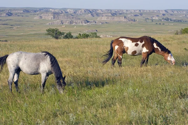
Wild Horses
Wild Horses — Stock Photo, Image
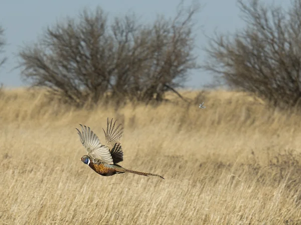
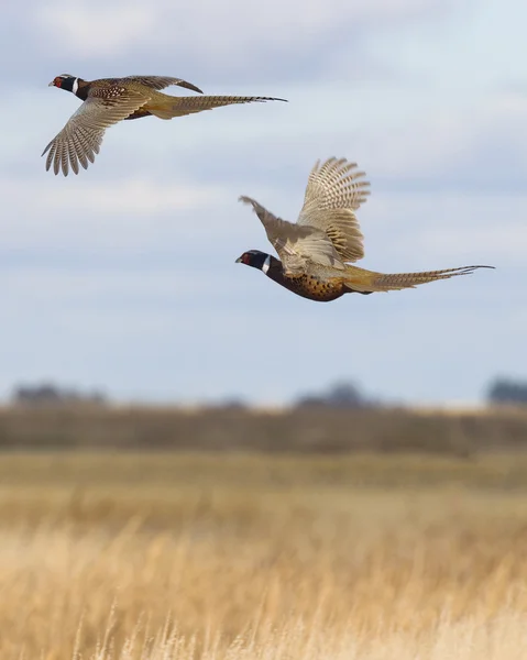
Flying Pheasant
Flying Pheasant — Stock Photo, Image
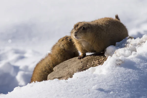
Prairie Dogs in the winter
Prairie Dogs in the winter — Stock Photo, Image
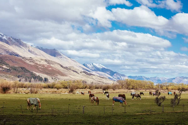
Landscape around Glenorchy and Paradise in New Zealand
Landscape around Glenorchy and Paradise in New Zealand — Stock Photo, Image
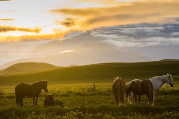
Horses during sunset in Iceland, beautiful wild horses with amazing view, summer sunset atmosphere, travel in Iceland
Horses Sunset Iceland Beautiful Wild Horses Amazing View Summer Sunset — Stock Photo, Image
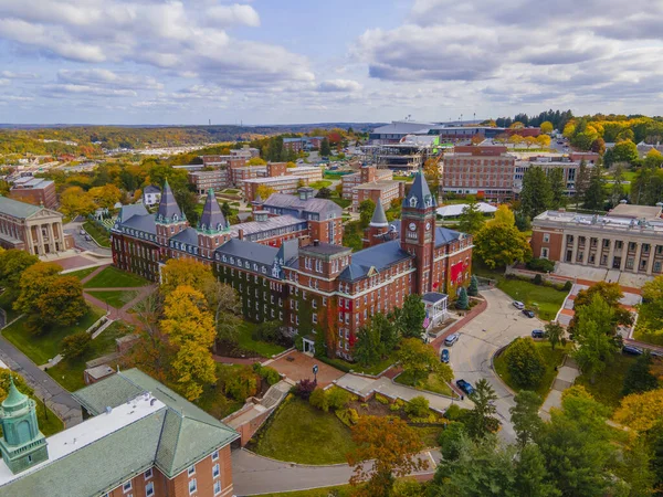
O'Kane Hall aerial view in College of the Holy Cross with fall foliage in city of Worcester, Massachusetts MA, USA.
Kane Hall Aerial View College Holy Cross Fall Foliage City — Stock Photo, Image
Wheat field after harvest with straw bales at sunset
Wheat Field Harvest Straw Bales Sunset — Stock Photo, Image
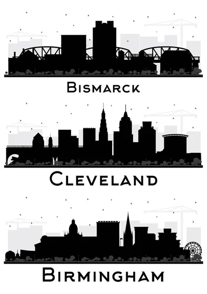
Birmingham UK, Bismarck North Dakota and Cleveland Ohio City Skyline Silhouette Set with Black Buildings Isolated on White. Cityscape with Landmarks.
Birmingham Bismarck North Dakota Cleveland Ohio City Skyline Silhouette Set — Stock Photo, Image
North Dakota (USA) flag waving on the wind
North Dakota (USA) flag waving on the wind — Stock Photo, Image
Theodore Roosevelt National Park
Theodore Roosevelt National Park — Stock Photo, Image
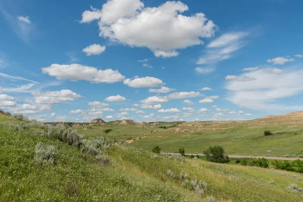
Rolling Prarie Hills in North Dakota on summer day
Rolling Prarie Hills North Dakota Summer Day — Stock Photo, Image
Theodore Rosevelt National Park
Theodore Rosevelt National Park — Stock Photo, Image
Production of mineral oil in Usedom
Production of mineral oil in Usedom — Stock Photo, Image
Beautiful valley
Beautiful valley — Stock Photo, Image
Buffalo
Buffalo — Stock Photo, Image
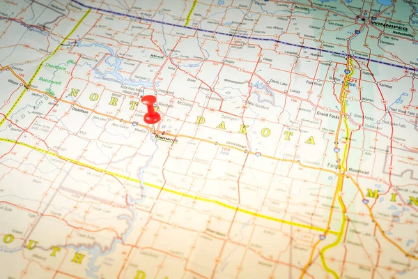
Bismarck on USA map
Bismarck Usa Map — Stock Photo, Image
Bismarck on USA map
Bismarck Usa Map — Stock Photo, Image
Agricultural field.
Agricultural field. — Stock Photo, Image
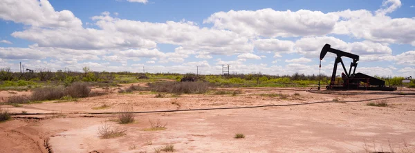
Texas Oil Pump Jack Fracking Crude Extraction Machine
Texas Oil Pump Jack Fracking Crude Extraction Machine — Stock Photo, Image
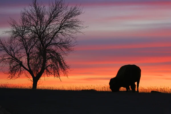
Silhouette of eating bison and tree at sunset
Silhouette of eating bison and tree at sunset — Stock Photo, Image
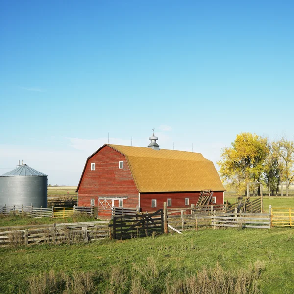
Red barn and fence in field.
Red barn and fence in field. — Stock Photo, Image
South Dakota Prairie
South Dakota Prairie — Stock Photo, Image
Traveling the Badlands, South Dakota
Traveling the Badlands, South Dakota — Stock Photo, Image
High Clearance Sprayer
High Clearance Sprayer — Stock Photo, Image
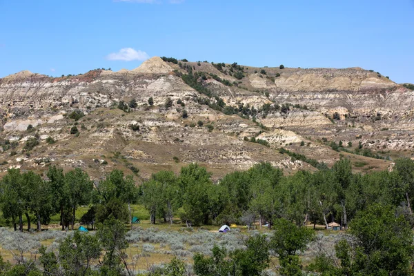
Campground Theodore Roosevelt National Park
Campground Theodore Roosevelt National Park — Stock Photo, Image
Mountain landscape
Mountain landscape — Stock Photo, Image
Beautiful evening scene
Beautiful evening scene — Stock Photo, Image
Cordoba, province of Argentina. Elevation map colored in wiki style with lakes and rivers. Corner auxiliary location maps
Cordoba Province Argentina Elevation Map Colored Wiki Style Lakes Rivers — Stock Photo, Image
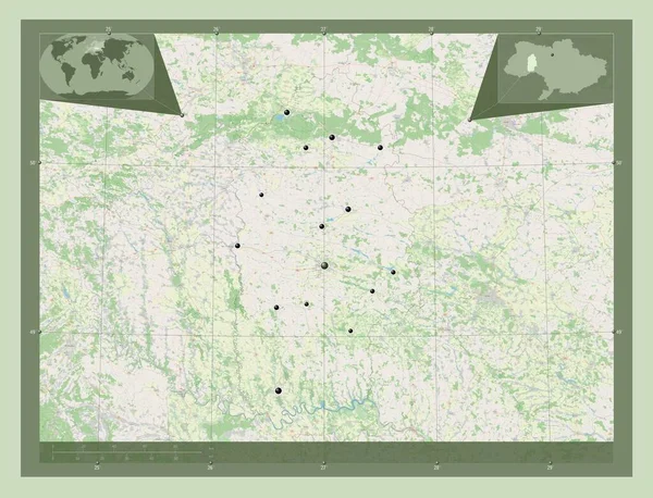
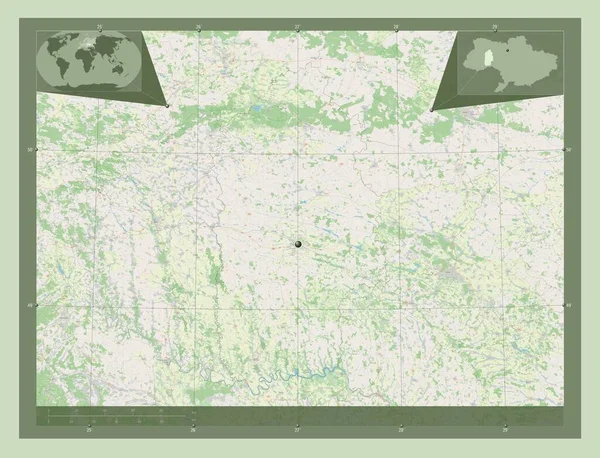
Khmel'nyts'kyy, region of Ukraine. Open Street Map. Locations of major cities of the region. Corner auxiliary location maps
Khmel Nyts Kyy Region Ukraine Open Street Map Locations Major — Stock Photo, Image
Sahel, region of Burkina Faso. Open Street Map. Corner auxiliary location maps
Sahel Region Burkina Faso Open Street Map Corner Auxiliary Location — Stock Photo, Image
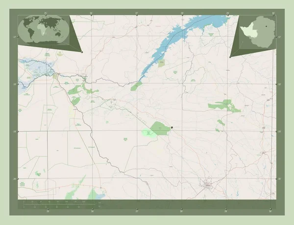
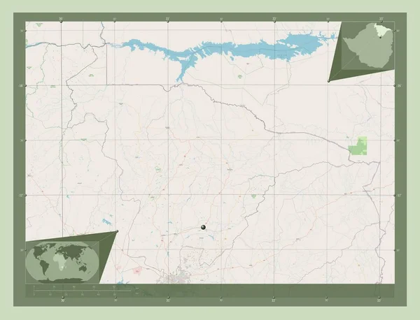
Matabeleland North, province of Zimbabwe. Open Street Map. Corner auxiliary location maps
Matabeleland North Province Zimbabwe Open Street Map Corner Auxiliary Location — Stock Photo, Image
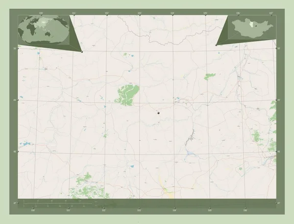
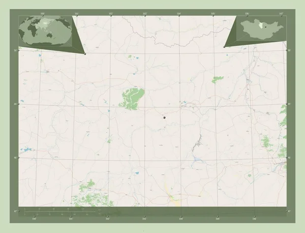
Bulgan, province of Mongolia. Open Street Map. Corner auxiliary location maps
Bulgan Province Mongolia Open Street Map Corner Auxiliary Location Maps — Stock Photo, Image
Bulgan, province of Mongolia. Open Street Map. Locations of major cities of the region. Corner auxiliary location maps
Bulgan Province Mongolia Open Street Map Locations Major Cities Region — Stock Photo, Image
Khmel'nyts'kyy, region of Ukraine. Open Street Map. Corner auxiliary location maps
Khmel Nyts Kyy Region Ukraine Open Street Map Corner Auxiliary — Stock Photo, Image
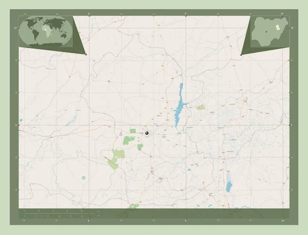
Gombe, state of Nigeria. Open Street Map. Corner auxiliary location maps
Gombe State Nigeria Open Street Map Corner Auxiliary Location Maps — Stock Photo, Image
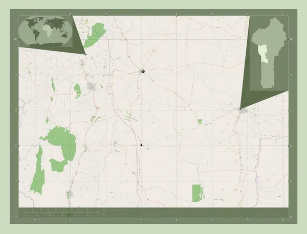
Donga, department of Benin. Open Street Map. Locations of major cities of the region. Corner auxiliary location maps
Donga Department Benin Open Street Map Locations Major Cities Region — Stock Photo, Image
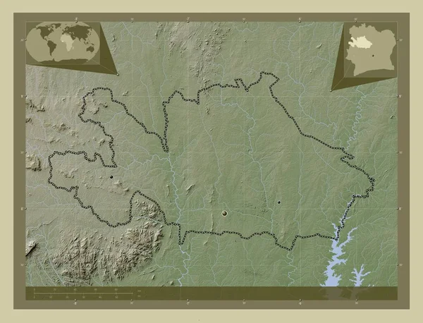
Woroba, district of Cote d'Ivoire. Elevation map colored in wiki style with lakes and rivers. Locations of major cities of the region. Corner auxiliary location maps
Woroba District Cote Ivoire Elevation Map Colored Wiki Style Lakes — Stock Photo, Image
Map of Rondonia on dark slate
Map Rondonia Dark Slate — Stock Photo, Image
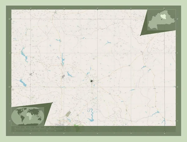
Centre-Nord, region of Burkina Faso. Open Street Map. Corner auxiliary location maps
Centre Nord Region Burkina Faso Open Street Map Corner Auxiliary — Stock Photo, Image
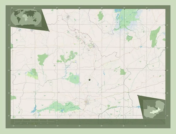
Central, region of Zambia. Open Street Map. Corner auxiliary location maps
Central Region Zambia Open Street Map Corner Auxiliary Location Maps — Stock Photo, Image
Rolling hills of western Nebraska landscape in early fall
Rolling Hills Western Nebraska Landscape Early Fall — Stock Photo, Image
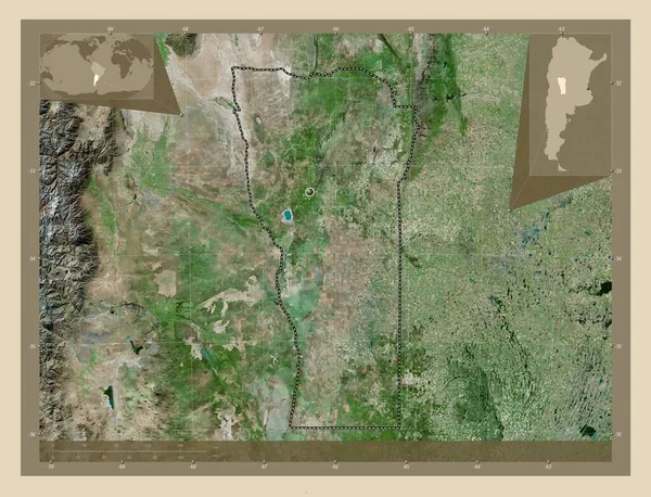
San Luis, province of Argentina. High resolution satellite map. Corner auxiliary location maps
San Luis Province Argentina High Resolution Satellite Map Corner Auxiliary — Stock Photo, Image
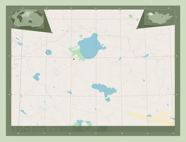
Uvs, province of Mongolia. Open Street Map. Corner auxiliary location maps
Uvs Province Mongolia Open Street Map Corner Auxiliary Location Maps — Stock Photo, Image
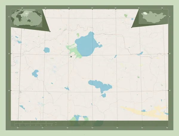
Uvs, province of Mongolia. Open Street Map. Locations of major cities of the region. Corner auxiliary location maps
Uvs Province Mongolia Open Street Map Locations Major Cities Region — Stock Photo, Image
Nebraska Red Abstract 3D State Map United States America
Nebraska Red Abstract 3D State Map United States America — Stock Photo, Image
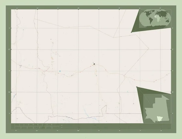
Hodh el Gharbi, region of Mauritania. Open Street Map. Locations of major cities of the region. Corner auxiliary location maps
Hodh Gharbi Region Mauritania Open Street Map Locations Major Cities — Stock Photo, Image
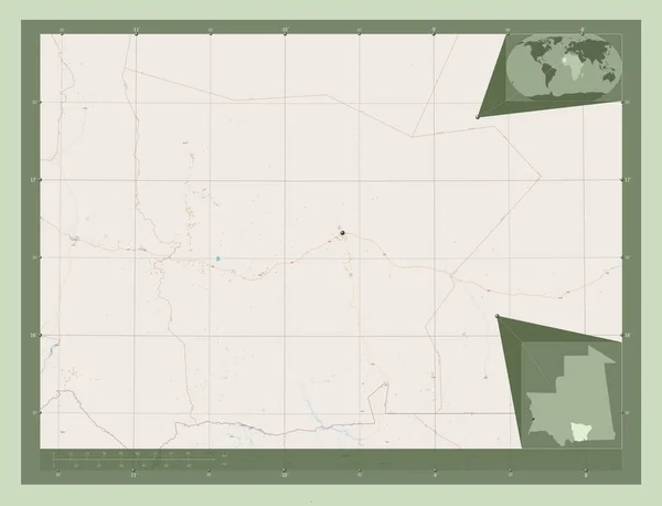
Hodh el Gharbi, region of Mauritania. Open Street Map. Corner auxiliary location maps
Hodh Gharbi Region Mauritania Open Street Map Corner Auxiliary Location — Stock Photo, Image
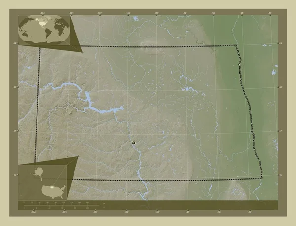
North Dakota, state of United States of America. Elevation map colored in wiki style with lakes and rivers. Corner auxiliary location maps
North Dakota State United States America Elevation Map Colored Wiki — Stock Photo, Image
A sheet of paper torn to pieces isolated on white background
Sheet Paper Torn Pieces Isolated White Background — Stock Photo, Image
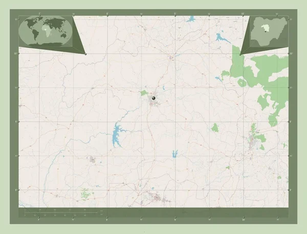
Kaduna, state of Nigeria. Open Street Map. Corner auxiliary location maps
Kaduna State Nigeria Open Street Map Corner Auxiliary Location Maps — Stock Photo, Image
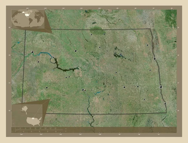
North Dakota, state of United States of America. High resolution satellite map. Locations of major cities of the region. Corner auxiliary location maps
North Dakota State United States America High Resolution Satellite Map — Stock Photo, Image
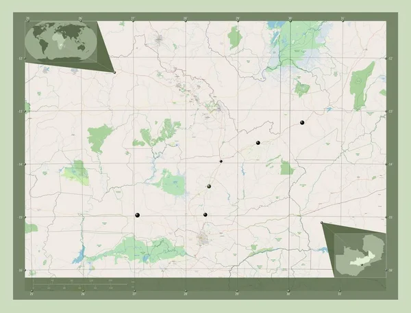
Central, region of Zambia. Open Street Map. Locations of major cities of the region. Corner auxiliary location maps
Central Region Zambia Open Street Map Locations Major Cities Region — Stock Photo, Image
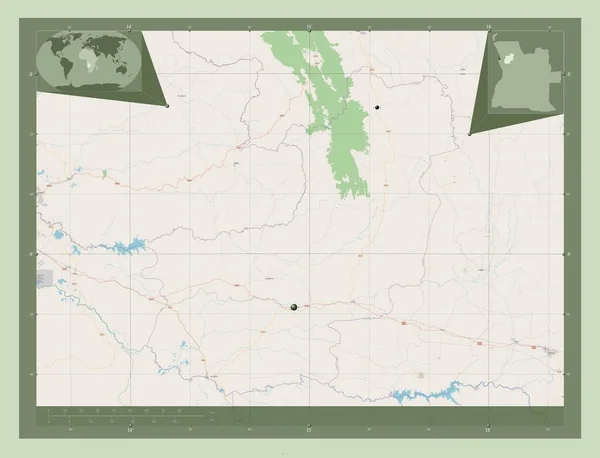
Cunene, province of Angola. Elevation map colored in wiki style with lakes and rivers. Corner auxiliary location maps
Cunene Province Angola Elevation Map Colored Wiki Style Lakes Rivers — Stock Photo, Image
Cunene, province of Angola. Elevation map colored in wiki style with lakes and rivers. Locations of major cities of the region. Corner auxiliary location maps
Cunene Province Angola Elevation Map Colored Wiki Style Lakes Rivers — Stock Photo, Image
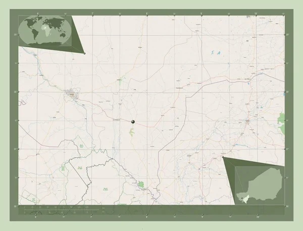
Dosso, department of Niger. Open Street Map. Corner auxiliary location maps
Dosso Department Niger Open Street Map Corner Auxiliary Location Maps — Stock Photo, Image
Autumn nature. Landscape of sunrise over river in autumn morning. Nature of Ukraine
Autumn Nature Landscape Sunrise River Autumn Morning Nature Ukraine — Stock Photo, Image
Sahel, region of Burkina Faso. Open Street Map. Locations of major cities of the region. Corner auxiliary location maps
Sahel Region Burkina Faso Open Street Map Locations Major Cities — Stock Photo, Image
Mashonaland Central, province of Zimbabwe. Open Street Map. Corner auxiliary location maps
Mashonaland Central Province Zimbabwe Open Street Map Corner Auxiliary Location — Stock Photo, Image
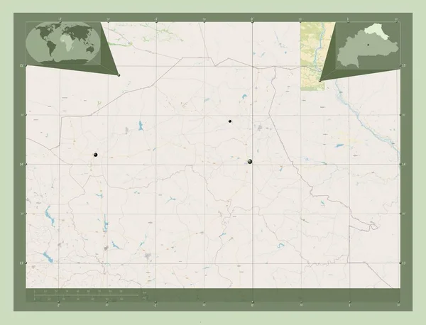
Centre-Nord, region of Burkina Faso. Open Street Map. Locations and names of major cities of the region. Corner auxiliary location maps
Centre Nord Region Burkina Faso Open Street Map Locations Names — Stock Photo, Image
Boucle du Mouhoun, region of Burkina Faso. Open Street Map. Corner auxiliary location maps
Boucle Mouhoun Region Burkina Faso Open Street Map Corner Auxiliary — Stock Photo, Image
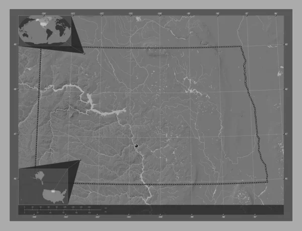
North Dakota, state of United States of America. Bilevel elevation map with lakes and rivers. Corner auxiliary location maps
North Dakota State United States America Bilevel Elevation Map Lakes — Stock Photo, Image
Shape of Gao, region of Mali, with its capital isolated on a solid color background. Satellite imagery. 3D rendering
Shape Gao Region Mali Its Capital Isolated Solid Color Background — Stock Photo, Image
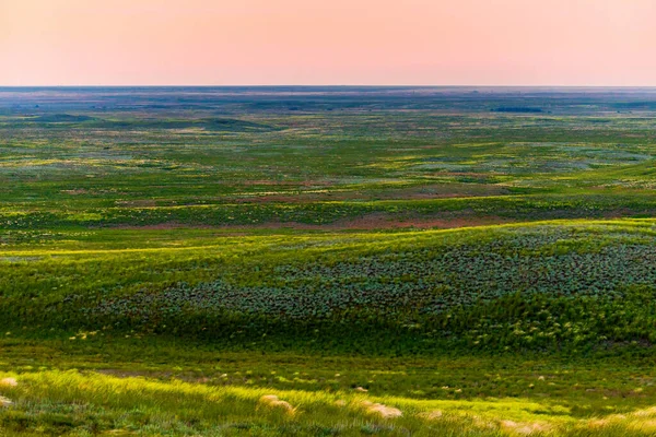
Wildflowers blooming in wild spring steppe. Colorful flowering field with forb.
Wildflowers Blooming Wild Spring Steppe Colorful Flowering Field Forb — Stock Photo, Image
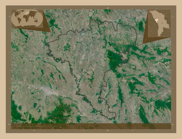
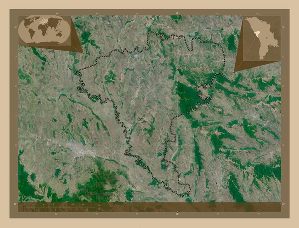
Ungheni, district of Moldova. Low resolution satellite map. Corner auxiliary location maps
Ungheni District Moldova Low Resolution Satellite Map Corner Auxiliary Location — Stock Photo, Image
Ungheni, district of Moldova. Low resolution satellite map. Locations of major cities of the region. Corner auxiliary location maps
Ungheni District Moldova Low Resolution Satellite Map Locations Major Cities — Stock Photo, Image
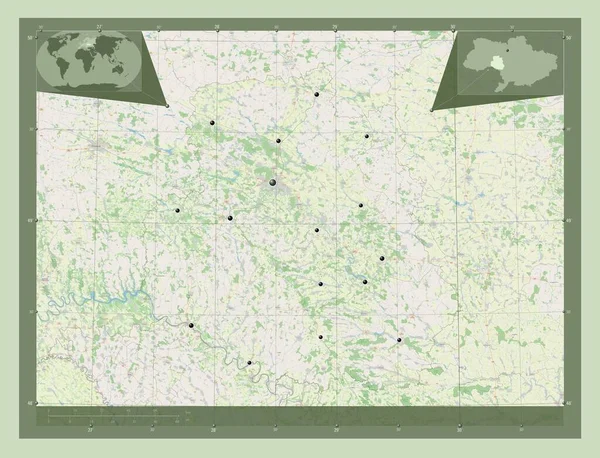
Vinnytsya, region of Ukraine. Open Street Map. Locations of major cities of the region. Corner auxiliary location maps
Vinnytsya Region Ukraine Open Street Map Locations Major Cities Region — Stock Photo, Image
Zhambyl, region of Kazakhstan. Elevation map colored in wiki style with lakes and rivers. Locations and names of major cities of the region. Corner auxiliary location maps
Zhambyl Region Kazakhstan Elevation Map Colored Wiki Style Lakes Rivers — Stock Photo, Image
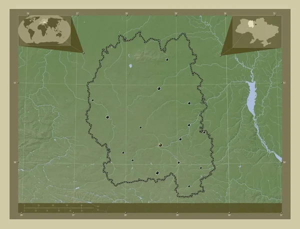
Zhytomyr, region of Ukraine. Elevation map colored in wiki style with lakes and rivers. Locations of major cities of the region. Corner auxiliary location maps
Zhytomyr Region Ukraine Elevation Map Colored Wiki Style Lakes Rivers — Stock Photo, Image
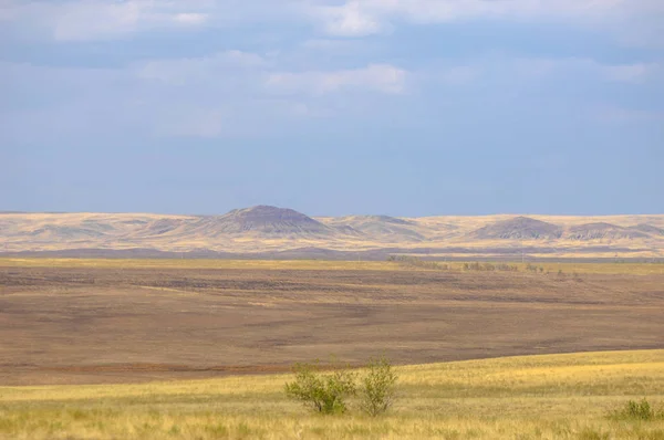
The steppe is woodless, poor in moisture and usually flat with grassy vegetation in the dry climate zone. prairie, veld, veldt
Steppe Woodless Poor Moisture Usually Flat Grassy Vegetation Dry Climate — Stock Photo, Image
Cuanza Norte, province of Angola. Open Street Map. Locations of major cities of the region. Corner auxiliary location maps
Cuanza Norte Province Angola Open Street Map Locations Major Cities — Stock Photo, Image
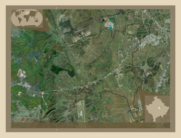
Fushe Kosove, municipality of Kosovo. High resolution satellite map. Locations of major cities of the region. Corner auxiliary location maps
Fushe Kosove Municipality Kosovo High Resolution Satellite Map Locations Major — Stock Photo, Image
Fushe Kosove, municipality of Kosovo. High resolution satellite map. Corner auxiliary location maps
Fushe Kosove Municipality Kosovo High Resolution Satellite Map Corner Auxiliary — Stock Photo, Image
Fushe Kosove, municipality of Kosovo. High resolution satellite map. Locations of major cities of the region. Corner auxiliary location maps
Fushe Kosove Municipality Kosovo High Resolution Satellite Map Locations Major — Stock Photo, Image
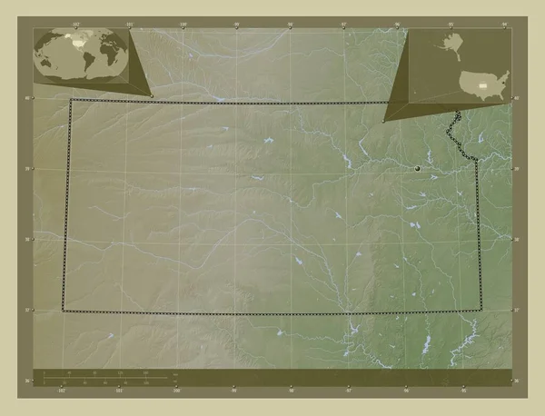
Kansas, state of United States of America. Elevation map colored in wiki style with lakes and rivers. Corner auxiliary location maps
Kansas State United States America Elevation Map Colored Wiki Style — Stock Photo, Image
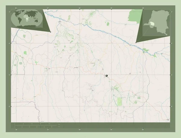
Kwilu, province of Democratic Republic of the Congo. Open Street Map. Corner auxiliary location maps
Kwilu Province Democratic Republic Congo Open Street Map Corner Auxiliary — Stock Photo, Image
Shape of Kansas, state of Mainland United States, with its capital isolated on solid background. Distance scale, region preview and labels. Topographic relief map. 3D rendering
Shape Kansas State Mainland United States Its Capital Isolated Solid — Stock Photo, Image
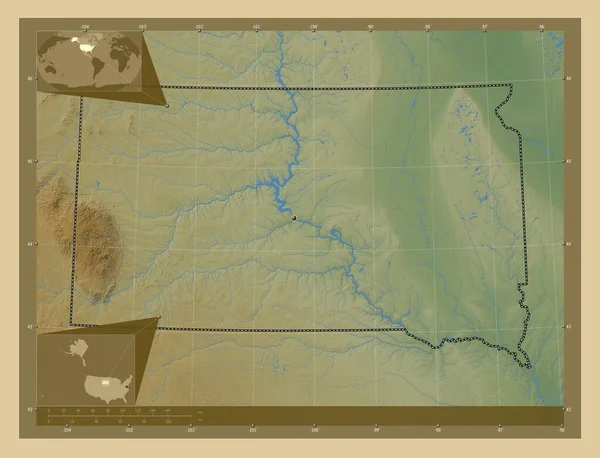
South Dakota, state of United States of America. Colored elevation map with lakes and rivers. Corner auxiliary location maps
South Dakota State United States America Colored Elevation Map Lakes — Stock Photo, Image
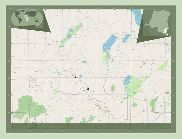
Haut-Katanga, province of Democratic Republic of the Congo. Open Street Map. Locations of major cities of the region. Corner auxiliary location maps
Haut Katanga Province Democratic Republic Congo Open Street Map Locations — Stock Photo, Image
Badlands National Park southwest of South Dakota, United States
Badlands National Park southwest of South Dakota, United States — Stock Photo, Image

North Dakota Images | Stock Image Search Page Overview

North Dakota Images - Discover the Beauty of the Great Plains

Explore a Vast Collection of High-Quality Stock Images

If you are looking for stunning visual assets to bring your projects to life, look no further than our extensive collection of North Dakota images. Whether you need captivating photographs, vibrant illustrations, or versatile vector graphics, we offer a wide range of visually appealing files to suit your needs.

Unleash Your Creativity with Diverse File Formats

Our stock images in North Dakota come in three popular file formats: JPG, AI, and EPS. With these formats, you have the flexibility and compatibility required for various projects. JPG files are perfect for web and digital use, while AI and EPS files are ideal for print and graphic design purposes, allowing for easy scalability without compromising quality.
Perfect for Web Design, Marketing Materials, and More

Our North Dakota images can be used across numerous mediums and industries. Whether you are designing a website for a travel agency, creating promotional materials for a local event, or enhancing your blog with captivating visuals, our collection has you covered. Add a touch of authenticity and beauty to your projects with our visually stunning images.

Choose the Right Visual for Maximum Impact

When selecting the perfect image for your project, it's essential to consider the theme and purpose of your work. For marketing materials promoting tourism in North Dakota, opt for images that showcase the state's natural wonders, such as rolling prairies, majestic lakes, and awe-inspiring Badlands formations. Choose photographs that capture the spirit of adventure and exploration, inviting viewers to embark on their own North Dakota journey.

For web design projects, select images that reflect the vibrant cities of North Dakota, highlighting the energetic urban landscapes, bustling streets, and modern architecture. These visuals will resonate with users seeking information about city attractions, local businesses, or relocation options.

If you are working on educational materials or historical projects, our collection also offers vintage photographs and illustrations that provide insight into the state's rich heritage and cultural significance.

Elevate Your Projects with High-Quality Visual Assets

With our North Dakota stock images, you can take your projects to new heights. Whether you are a graphic designer, web developer, blogger, or marketing professional, our visually appealing and versatile images will enhance your work and help you leave a lasting impression on your audience.

Remember to choose images that align with your project's tone and target audience. Consider the emotions you want to evoke - whether it's excitement, tranquility, nostalgia, or inspiration - and select visuals that convey those feelings effectively. By doing so, you'll ensure that your projects resonate with your viewers and leave a lasting impact.