Physical geography Stock Photos

100,000 Physical geography pictures are available under a royalty-free license

  • Best Match
  • Fresh
  • Popular
1-100 of 100,000
Woman with globe against blurry brown map
Woman with globe against blurry brown map — Stock Photo, Image
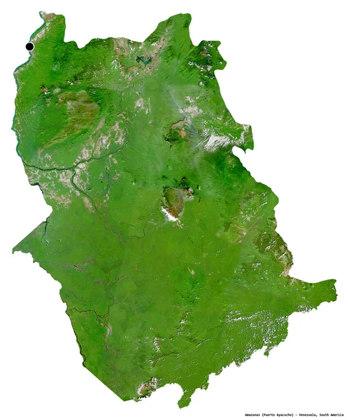
Shape of Amazonas, state of Venezuela, with its capital isolated on white background. Satellite imagery. 3D rendering
Shape Amazonas State Venezuela Its Capital Isolated White Background Satellite — Stock Photo, Image
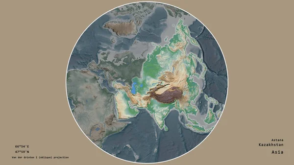
The area of Kazakhstan centered in the circle surrounding its continent on the desaturated background. Capital georeferences and names given. Color physical map
Area Kazakhstan Centered Circle Surrounding Its Continent Desaturated Background Capital — Stock Photo, Image
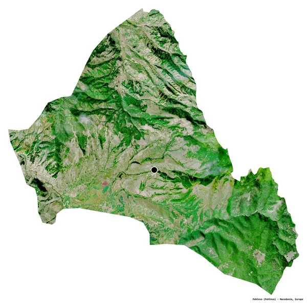
Shape of Pehcevo, municipality of Macedonia, with its capital isolated on white background. Satellite imagery. 3D rendering
Shape Pehcevo Municipality Macedonia Its Capital Isolated White Background Satellite — Stock Photo, Image
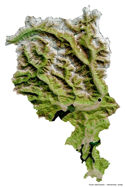
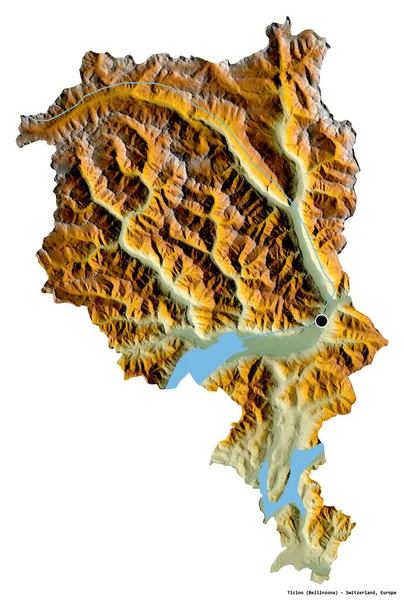
Shape of Ticino, canton of Switzerland, with its capital isolated on white background. Satellite imagery. 3D rendering
Shape Ticino Canton Switzerland Its Capital Isolated White Background Satellite — Stock Photo, Image
Expanded and enlarged area of China extracted from the large-scale map of the world with leading lines connecting the corners of the frames. Satellite imagery
Expanded Enlarged Area China Extracted Large Scale Map World Leading — Stock Photo, Image
Area of Pando, department of Bolivia, isolated on a solid background in a georeferenced bounding box. Labels. Satellite imagery. 3D rendering
Area Pando Department Bolivia Isolated Solid Background Georeferenced Bounding Box — Stock Photo, Image
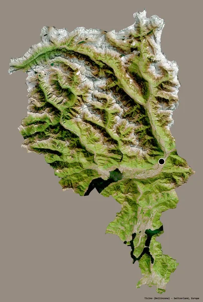
Shape of Ticino, canton of Switzerland, with its capital isolated on a solid color background. Satellite imagery. 3D rendering
Shape Ticino Canton Switzerland Its Capital Isolated Solid Color Background — Stock Photo, Image
Shape of Suurland, region of Iceland, with its capital isolated on white background. Topographic relief map. 3D rendering
Shape Suurland Region Iceland Its Capital Isolated White Background Topographic — Stock Photo, Image
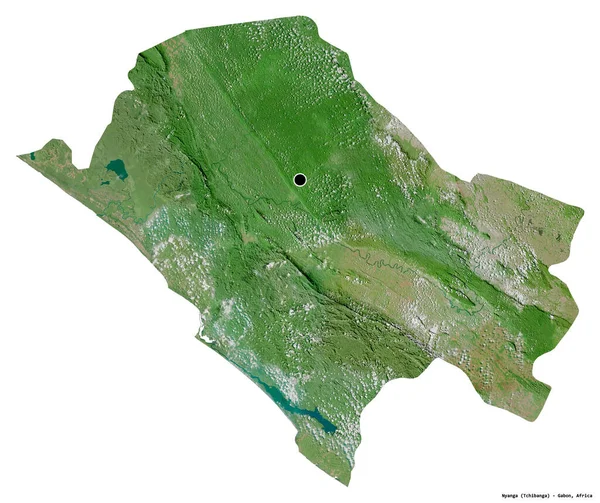
Shape of Nyanga, province of Gabon, with its capital isolated on white background. Satellite imagery. 3D rendering
Shape Nyanga Province Gabon Its Capital Isolated White Background Satellite — Stock Photo, Image
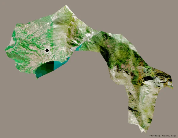
Shape of Debar, municipality of Macedonia, with its capital isolated on a solid color background. Satellite imagery. 3D rendering
Shape Debar Municipality Macedonia Its Capital Isolated Solid Color Background — Stock Photo, Image
Area of Araucania, region of Chile, isolated on a solid background in a georeferenced bounding box. Labels. Topographic relief map. 3D rendering
Area Araucania Region Chile Isolated Solid Background Georeferenced Bounding Box — Stock Photo, Image
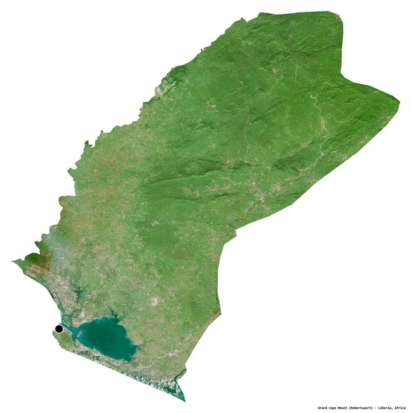
Shape of Grand Cape Mount, county of Liberia, with its capital isolated on white background. Satellite imagery. 3D rendering
Shape Grand Cape Mount County Liberia Its Capital Isolated White — Stock Photo, Image
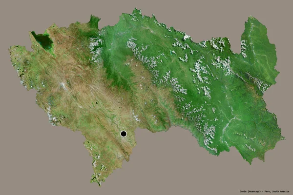
Shape of Junin, region of Peru, with its capital isolated on a solid color background. Satellite imagery. 3D rendering
Shape Junin Region Peru Its Capital Isolated Solid Color Background — Stock Photo, Image
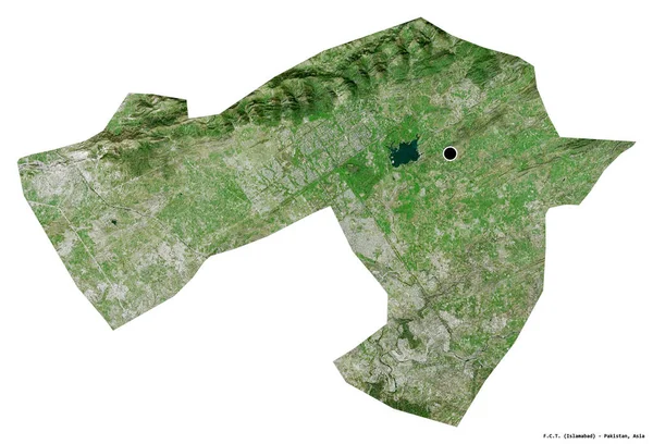
Shape of F.C.T., capital territory of Pakistan, with its capital isolated on white background. Satellite imagery. 3D rendering
Shape Capital Territory Pakistan Its Capital Isolated White Background Satellite — Stock Photo, Image
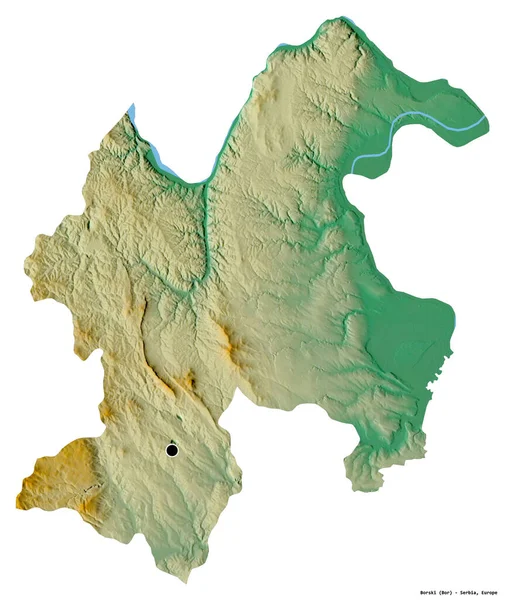
Shape of Borski, district of Serbia, with its capital isolated on white background. Topographic relief map. 3D rendering
Shape Borski District Serbia Its Capital Isolated White Background Topographic — Stock Photo, Image
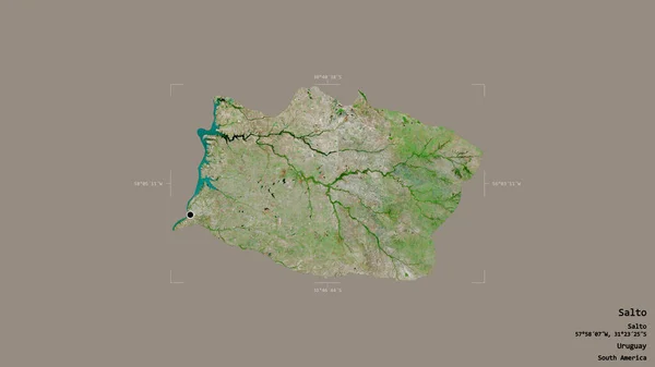
Area of Salto, department of Uruguay, isolated on a solid background in a georeferenced bounding box. Labels. Satellite imagery. 3D rendering
Area Salto Department Uruguay Isolated Solid Background Georeferenced Bounding Box — Stock Photo, Image
Mittenwald via ferrata in Bavarian Alps, Germany in summertime
Mittenwald Ferrata Bavarian Alps Germany Summertime — Stock Photo, Image
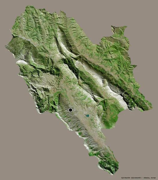
Shape of Gjirokaster, county of Albania, with its capital isolated on a solid color background. Satellite imagery. 3D rendering
Shape Gjirokaster County Albania Its Capital Isolated Solid Color Background — Stock Photo, Image
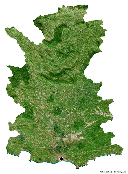
Shape of Matara, district of Sri Lanka, with its capital isolated on white background. Satellite imagery. 3D rendering
Shape Matara District Sri Lanka Its Capital Isolated White Background — Stock Photo, Image
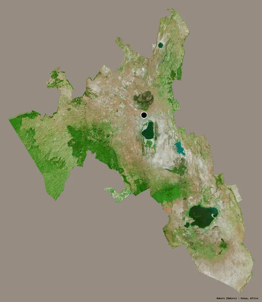
Shape of Nakuru, county of Kenya, with its capital isolated on a solid color background. Satellite imagery. 3D rendering
Shape Nakuru County Kenya Its Capital Isolated Solid Color Background — Stock Photo, Image
Shape of Switzerland with its capital isolated on a solid color background. Topographic relief map. 3D rendering
Shape Switzerland Its Capital Isolated Solid Color Background Topographic Relief — Stock Photo, Image
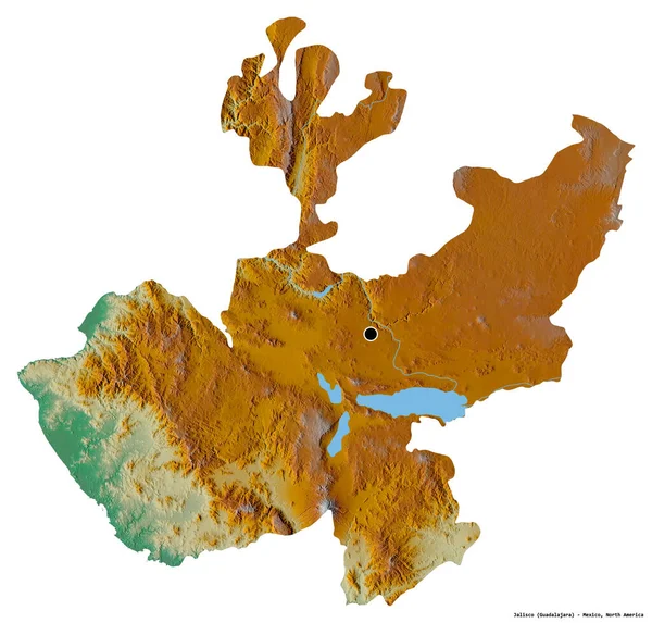
Shape of Jalisco, state of Mexico, with its capital isolated on white background. Topographic relief map. 3D rendering
Shape Jalisco State Mexico Its Capital Isolated White Background Topographic — Stock Photo, Image
Shape of Dagestan, republic of Russia, with its capital isolated on a solid color background. Satellite imagery. 3D rendering
Shape Dagestan Republic Russia Its Capital Isolated Solid Color Background — Stock Photo, Image
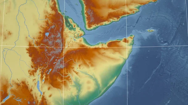
Somaliland. Neighborhood - distant perspective without outline. topographic relief map
Somaliland Neighborhood Distant Perspective Outline Topographic Relief Map — Stock Photo, Image
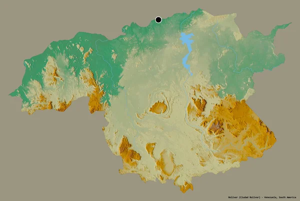
Shape of Bolivar, state of Venezuela, with its capital isolated on a solid color background. Topographic relief map. 3D rendering
Shape Bolivar State Venezuela Its Capital Isolated Solid Color Background — Stock Photo, Image
Area of Turkey marked with a circle on the large-scale map of the continent isolated against desaturated background. Capital georeferences and names given. Color physical map
Area Turkey Marked Circle Large Scale Map Continent Isolated Desaturated — Stock Photo, Image
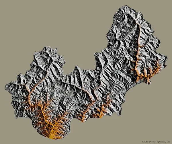
Shape of Nuristan, province of Afghanistan, with its capital isolated on a solid color background. Topographic relief map. 3D rendering
Shape Nuristan Province Afghanistan Its Capital Isolated Solid Color Background — Stock Photo, Image
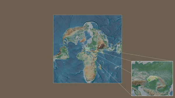
Expanded and enlarged area of Slovakia extracted from the large-scale map of the world with leading lines connecting the corners of the frames. Color physical map
Expanded Enlarged Area Slovakia Extracted Large Scale Map World Leading — Stock Photo, Image
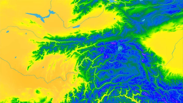
Tajikistan area on the annual temperature map in the stereographic projection - raw composition of raster layers
Tajikistan Area Annual Temperature Map Stereographic Projection Raw Composition Raster — Stock Photo, Image
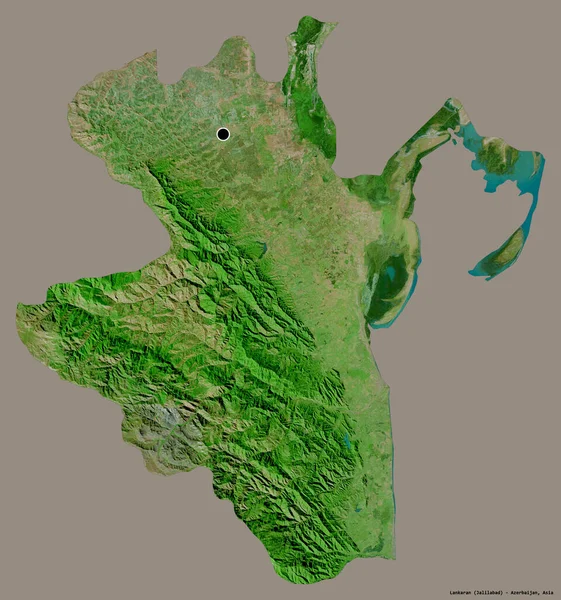
Shape of Lankaran, region of Azerbaijan, with its capital isolated on a solid color background. Satellite imagery. 3D rendering
Shape Lankaran Region Azerbaijan Its Capital Isolated Solid Color Background — Stock Photo, Image
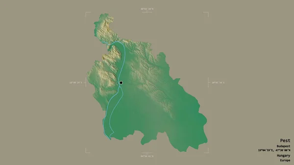
Area of Pest, county of Hungary, isolated on a solid background in a georeferenced bounding box. Labels. Topographic relief map. 3D rendering
Area Pest County Hungary Isolated Solid Background Georeferenced Bounding Box — Stock Photo, Image
Via ferrata at high mountain lake Seebensee, Tajakante, Tyrol, Austria in summertime
Ferrata High Mountain Lake Seebensee Tajakante Tyrol Austria Summertime — Stock Photo, Image
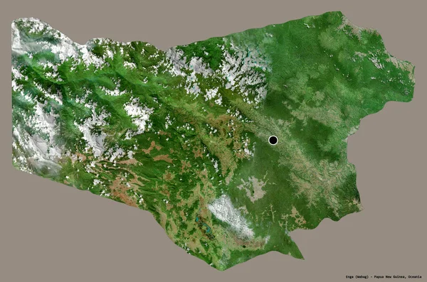
Shape of Enga, province of Papua New Guinea, with its capital isolated on a solid color background. Satellite imagery. 3D rendering
Shape Enga Province Papua New Guinea Its Capital Isolated Solid — Stock Photo, Image
The area of United Kingdom centered in the circle surrounding its continent on the desaturated background. Capital georeferences and names given. Satellite imagery
Area United Kingdom Centered Circle Surrounding Its Continent Desaturated Background — Stock Photo, Image
Shape of Azad Kashmir, centrally administered area of Pakistan, with its capital isolated on white background. Topographic relief map. 3D rendering
Shape Azad Kashmir Centrally Administered Area Pakistan Its Capital Isolated — Stock Photo, Image
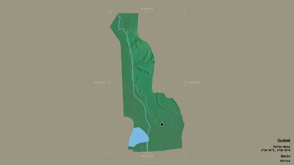
Area of Oueme, department of Benin, isolated on a solid background in a georeferenced bounding box. Labels. Topographic relief map. 3D rendering
Area Oueme Department Benin Isolated Solid Background Georeferenced Bounding Box — Stock Photo, Image
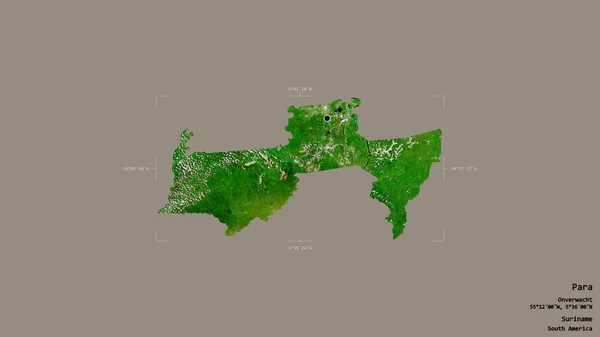
Area of Para, district of Suriname, isolated on a solid background in a georeferenced bounding box. Labels. Satellite imagery. 3D rendering
Area Para District Suriname Isolated Solid Background Georeferenced Bounding Box — Stock Photo, Image
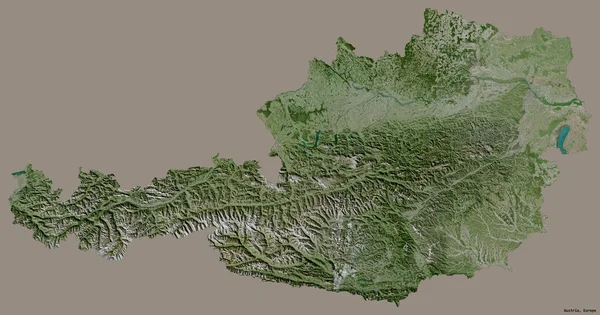
Shape of Austria with its capital isolated on a solid color background. Satellite imagery. 3D rendering
Shape Austria Its Capital Isolated Solid Color Background Satellite Imagery — Stock Photo, Image
Shape of Tirol, state of Austria, with its capital isolated on white background. Satellite imagery. 3D rendering
Shape Tirol State Austria Its Capital Isolated White Background Satellite — Stock Photo, Image
Shape of Trabzon, province of Turkey, with its capital isolated on a solid color background. Colored elevation map. 3D rendering
Shape Trabzon Province Turkey Its Capital Isolated Solid Color Background — Stock Photo, Image
Expanded and enlarged area of Colombia extracted from the large-scale map of the world with leading lines connecting the corners of the frames. Color physical map
Expanded Enlarged Area Colombia Extracted Large Scale Map World Leading — Stock Photo, Image
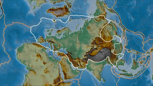
Outlined Eurasian tectonic plate and borders of adjacent plates on the relief map in the van der Grinten I projection (oblique transformation)
Outlined Eurasian Tectonic Plate Borders Adjacent Plates Relief Map Van — Stock Photo, Image
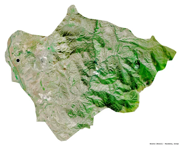
Shape of Novatsi, municipality of Macedonia, with its capital isolated on white background. Satellite imagery. 3D rendering
Shape Novatsi Municipality Macedonia Its Capital Isolated White Background Satellite — Stock Photo, Image
Shape of Turkmenistan with its capital isolated on white background. Topographic relief map. 3D rendering
Shape Turkmenistan Its Capital Isolated White Background Topographic Relief Map — Stock Photo, Image
Shape of Otago, regional council of New Zealand, with its capital isolated on white background. Satellite imagery. 3D rendering
Shape Otago Regional Council New Zealand Its Capital Isolated White — Stock Photo, Image
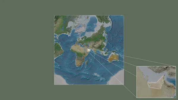
Expanded and enlarged area of United Arab Emirates extracted from the large-scale map of the world with leading lines connecting the corners of the frames. Satellite imagery
Expanded Enlarged Area United Arab Emirates Extracted Large Scale Map — Stock Photo, Image
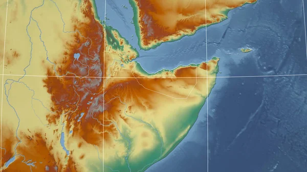
Somaliland. Neighborhood - distant perspective with outline of the country. topographic relief map
Somaliland Neighborhood Distant Perspective Outline Country Topographic Relief Map — Stock Photo, Image
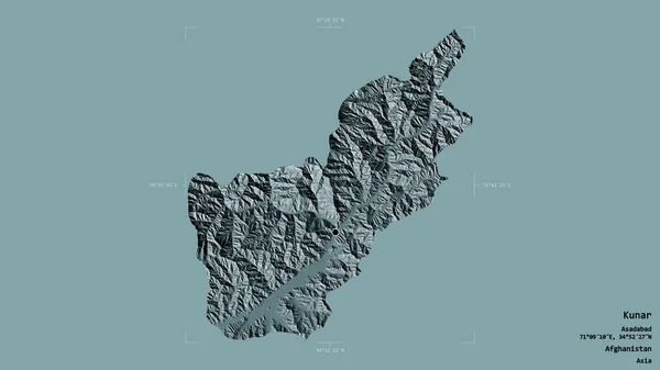
Area of Kunar, province of Afghanistan, isolated on a solid background in a georeferenced bounding box. Labels. Colored elevation map. 3D rendering
Area Kunar Province Afghanistan Isolated Solid Background Georeferenced Bounding Box — Stock Photo, Image
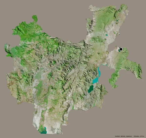
Shape of Southern Nations, state of Ethiopia, with its capital isolated on a solid color background. Satellite imagery. 3D rendering
Shape Southern Nations State Ethiopia Its Capital Isolated Solid Color — Stock Photo, Image
Shape of Pehcevo, municipality of Macedonia, with its capital isolated on a solid color background. Satellite imagery. 3D rendering
Shape Pehcevo Municipality Macedonia Its Capital Isolated Solid Color Background — Stock Photo, Image
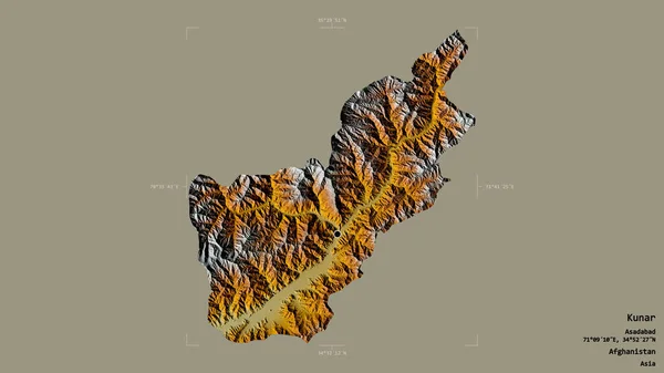
Area of Kunar, province of Afghanistan, isolated on a solid background in a georeferenced bounding box. Labels. Topographic relief map. 3D rendering
Area Kunar Province Afghanistan Isolated Solid Background Georeferenced Bounding Box — Stock Photo, Image
Area of Iasi, county of Romania, isolated on a solid background in a georeferenced bounding box. Labels. Topographic relief map. 3D rendering
Area Iasi County Romania Isolated Solid Background Georeferenced Bounding Box — Stock Photo, Image
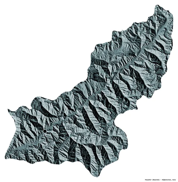
Shape of Panjshir, province of Afghanistan, with its capital isolated on white background. Colored elevation map. 3D rendering
Shape Panjshir Province Afghanistan Its Capital Isolated White Background Colored — Stock Photo, Image
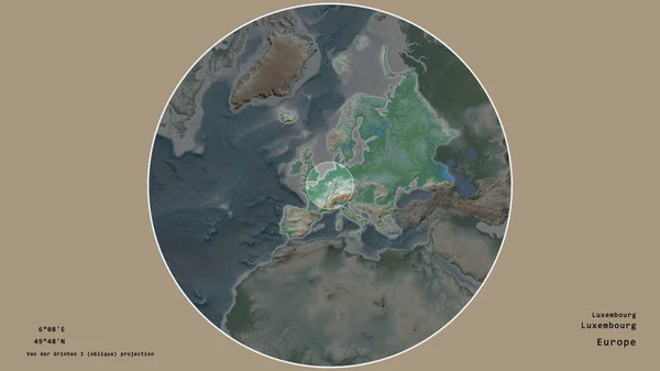
Area of Luxembourg marked with a circle on the large-scale map of the continent isolated against desaturated background. Capital georeferences and names given. Color physical map
Area Luxembourg Marked Circle Large Scale Map Continent Isolated Desaturated — Stock Photo, Image
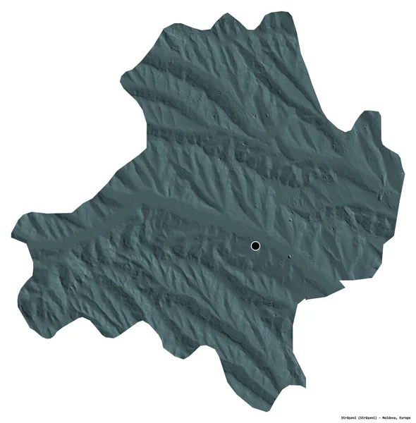
Shape of Straseni, district of Moldova, with its capital isolated on white background. Colored elevation map. 3D rendering
Shape Straseni District Moldova Its Capital Isolated White Background Colored — Stock Photo, Image
Map of French Guiana in red on globe
Map of French Guiana in red on globe — Stock Photo, Image
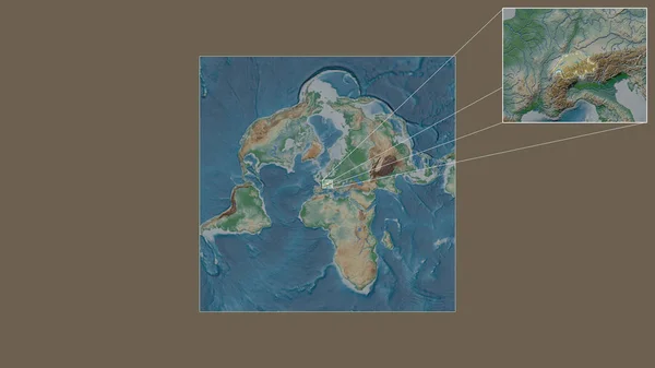
Expanded and enlarged area of Switzerland extracted from the large-scale map of the world with leading lines connecting the corners of the frames. Color physical map
Expanded Enlarged Area Switzerland Extracted Large Scale Map World Leading — Stock Photo, Image
Shape of Salzburg, state of Austria, with its capital isolated on a solid color background. Colored elevation map. 3D rendering
Shape Salzburg State Austria Its Capital Isolated Solid Color Background — Stock Photo, Image
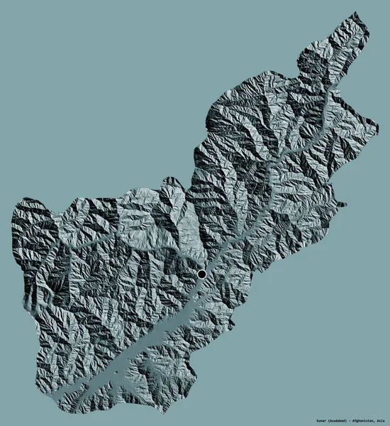
Shape of Kunar, province of Afghanistan, with its capital isolated on a solid color background. Colored elevation map. 3D rendering
Shape Kunar Province Afghanistan Its Capital Isolated Solid Color Background — Stock Photo, Image
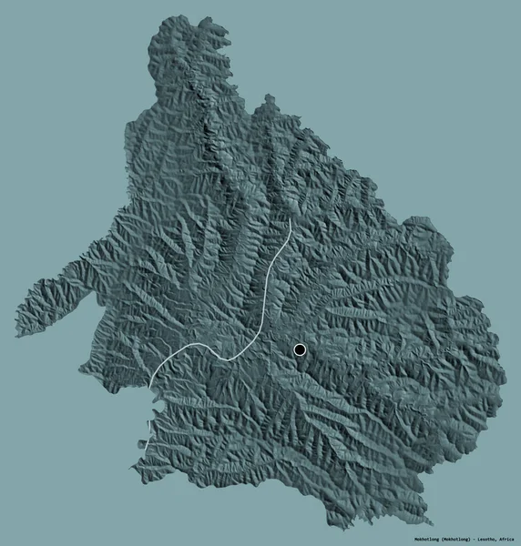
Shape of Mokhotlong, district of Lesotho, with its capital isolated on a solid color background. Colored elevation map. 3D rendering
Shape Mokhotlong District Lesotho Its Capital Isolated Solid Color Background — Stock Photo, Image
Area of Redcar and Cleveland, unitary authority of England, isolated on a solid background in a georeferenced bounding box. Labels. Satellite imagery. 3D rendering
Area Redcar Cleveland Unitary Authority England Isolated Solid Background Georeferenced — Stock Photo, Image
Shape of Bueng Kan, province of Thailand, with its capital isolated on white background. Topographic relief map. 3D rendering
Shape Bueng Kan Province Thailand Its Capital Isolated White Background — Stock Photo, Image
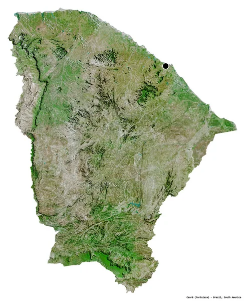
Shape of Ceara, state of Brazil, with its capital isolated on white background. Satellite imagery. 3D rendering
Shape Ceara State Brazil Its Capital Isolated White Background Satellite — Stock Photo, Image
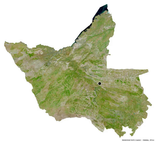
Shape of Matabeleland North, province of Zimbabwe, with its capital isolated on white background. Satellite imagery. 3D rendering
Shape Matabeleland North Province Zimbabwe Its Capital Isolated White Background — Stock Photo, Image
Area of Phu Yen, province of Vietnam, isolated on a solid background in a georeferenced bounding box. Labels. Satellite imagery. 3D rendering
Area Phu Yen Province Vietnam Isolated Solid Background Georeferenced Bounding — Stock Photo, Image
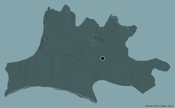
Shape of Nassarawa, state of Nigeria, with its capital isolated on a solid color background. Colored elevation map. 3D rendering
Shape Nassarawa State Nigeria Its Capital Isolated Solid Color Background — Stock Photo, Image
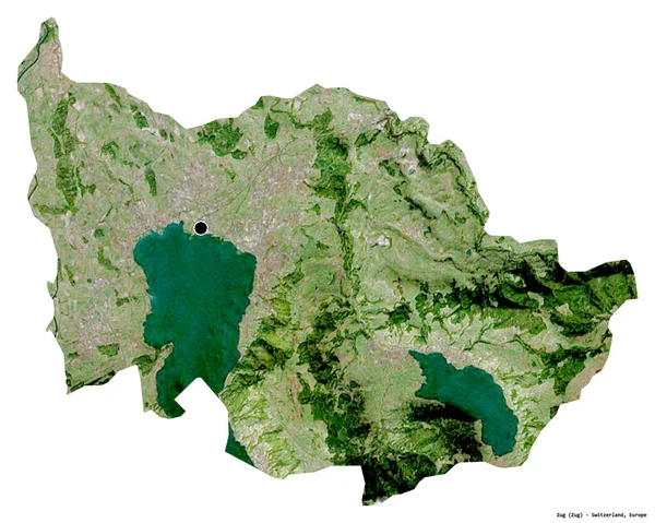
Shape of Zug, canton of Switzerland, with its capital isolated on white background. Satellite imagery. 3D rendering
Shape Zug Canton Switzerland Its Capital Isolated White Background Satellite — Stock Photo, Image
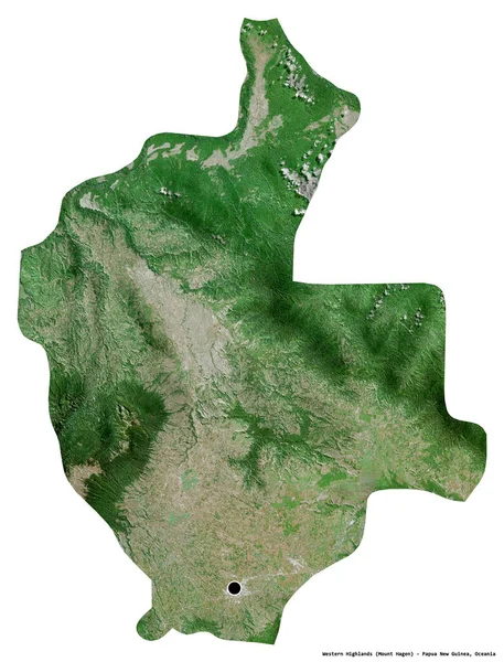
Shape of Western Highlands, province of Papua New Guinea, with its capital isolated on white background. Satellite imagery. 3D rendering
Shape Western Highlands Province Papua New Guinea Its Capital Isolated — Stock Photo, Image
Shape of Ntchisi, district of Malawi, with its capital isolated on a solid color background. Satellite imagery. 3D rendering
Shape Ntchisi District Malawi Its Capital Isolated Solid Color Background — Stock Photo, Image
Shape of Chontales, department of Nicaragua, with its capital isolated on white background. Satellite imagery. 3D rendering
Shape Chontales Department Nicaragua Its Capital Isolated White Background Satellite — Stock Photo, Image
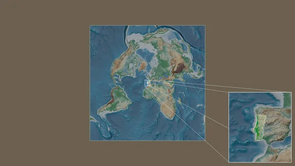
Expanded and enlarged area of Portugal extracted from the large-scale map of the world with leading lines connecting the corners of the frames. Color physical map
Expanded Enlarged Area Portugal Extracted Large Scale Map World Leading — Stock Photo, Image
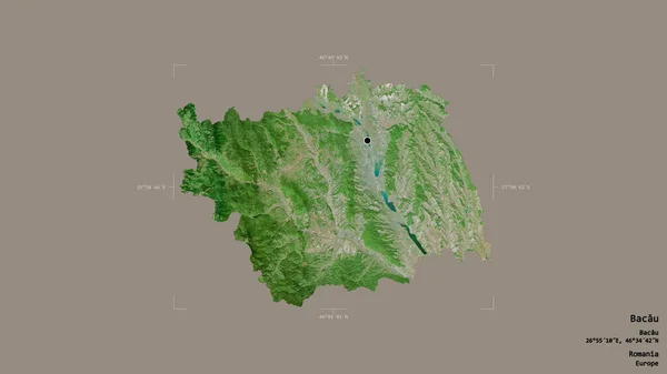
Area of Bacau, county of Romania, isolated on a solid background in a georeferenced bounding box. Labels. Satellite imagery. 3D rendering
Area Bacau County Romania Isolated Solid Background Georeferenced Bounding Box — Stock Photo, Image
Shape of Yaracuy, state of Venezuela, with its capital isolated on white background. Satellite imagery. 3D rendering
Shape Yaracuy State Venezuela Its Capital Isolated White Background Satellite — Stock Photo, Image
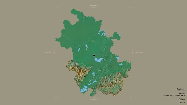
Area of Anhui, province of China, isolated on a solid background in a georeferenced bounding box. Labels. Topographic relief map. 3D rendering
Area Anhui Province China Isolated Solid Background Georeferenced Bounding Box — Stock Photo, Image
Shape of Bolivar, state of Venezuela, with its capital isolated on a solid color background. Satellite imagery. 3D rendering
Shape Bolivar State Venezuela Its Capital Isolated Solid Color Background — Stock Photo, Image
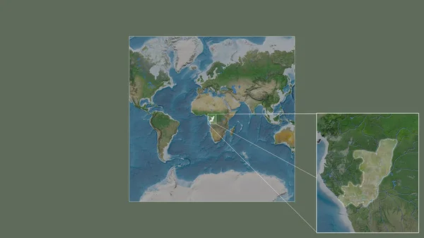
Expanded and enlarged area of Congo Brazzaville extracted from the large-scale map of the world with leading lines connecting the corners of the frames. Satellite imagery
Expanded Enlarged Area Congo Brazzaville Extracted Large Scale Map World — Stock Photo, Image
Shape of Yoro, department of Honduras, with its capital isolated on white background. Satellite imagery. 3D rendering
Shape Yoro Department Honduras Its Capital Isolated White Background Satellite — Stock Photo, Image
Shape of Delcevo, municipality of Macedonia, with its capital isolated on a solid color background. Satellite imagery. 3D rendering
Shape Delcevo Municipality Macedonia Its Capital Isolated Solid Color Background — Stock Photo, Image
Shape of Chimbu, province of Papua New Guinea, with its capital isolated on white background. Satellite imagery. 3D rendering
Shape Chimbu Province Papua New Guinea Its Capital Isolated White — Stock Photo, Image
Area of Bizerte, governorate of Tunisia, isolated on a solid background in a georeferenced bounding box. Labels. Topographic relief map. 3D rendering
Area Bizerte Governorate Tunisia Isolated Solid Background Georeferenced Bounding Box — Stock Photo, Image
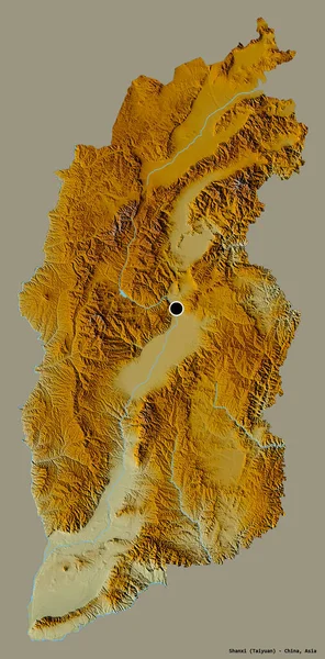
Shape of Shanxi, province of China, with its capital isolated on a solid color background. Topographic relief map. 3D rendering
Shape Shanxi Province China Its Capital Isolated Solid Color Background — Stock Photo, Image
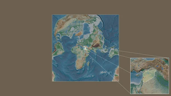
Expanded and enlarged area of Syria extracted from the large-scale map of the world with leading lines connecting the corners of the frames. Color physical map
Expanded Enlarged Area Syria Extracted Large Scale Map World Leading — Stock Photo, Image
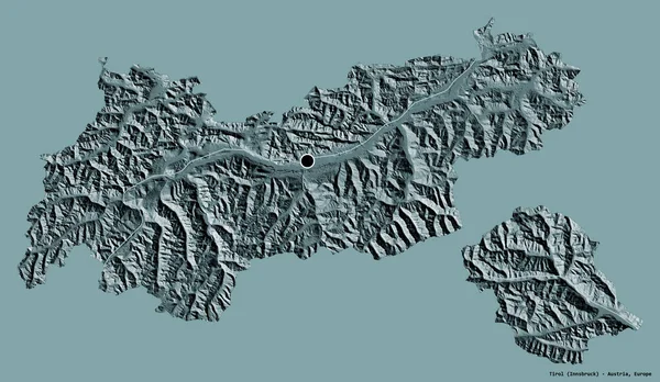
Shape of Tirol, state of Austria, with its capital isolated on a solid color background. Colored elevation map. 3D rendering
Shape Tirol State Austria Its Capital Isolated Solid Color Background — Stock Photo, Image
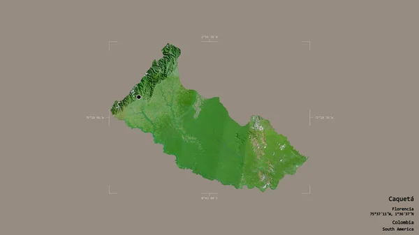
Area of Caqueta, intendancy of Colombia, isolated on a solid background in a georeferenced bounding box. Labels. Satellite imagery. 3D rendering
Area Caqueta Intendancy Colombia Isolated Solid Background Georeferenced Bounding Box — Stock Photo, Image
Shape of Zabul, province of Afghanistan, with its capital isolated on a solid color background. Satellite imagery. 3D rendering
Shape Zabul Province Afghanistan Its Capital Isolated Solid Color Background — Stock Photo, Image
Shape of Amajyaruguru, province of Rwanda, with its capital isolated on white background. Satellite imagery. 3D rendering
Shape Amajyaruguru Province Rwanda Its Capital Isolated White Background Satellite — Stock Photo, Image
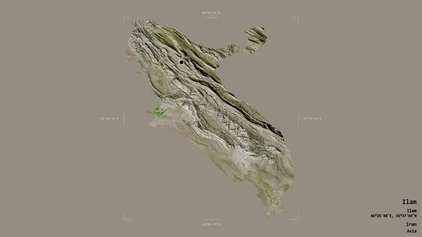
Area of Ilam, province of Iran, isolated on a solid background in a georeferenced bounding box. Labels. Satellite imagery. 3D rendering
Area Ilam Province Iran Isolated Solid Background Georeferenced Bounding Box — Stock Photo, Image
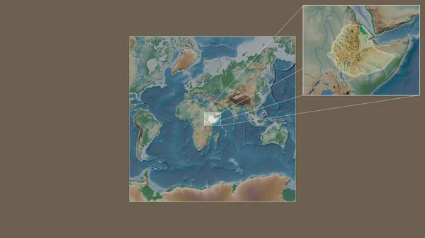
Expanded and enlarged area of Ethiopia extracted from the large-scale map of the world with leading lines connecting the corners of the frames. Color physical map
Expanded Enlarged Area Ethiopia Extracted Large Scale Map World Leading — Stock Photo, Image
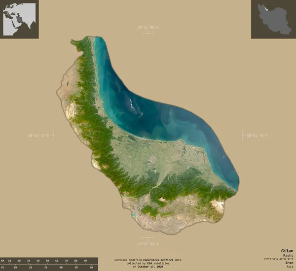
Gilan, province of Iran. Sentinel-2 satellite imagery. Shape isolated on solid background with informative overlays. Contains modified Copernicus Sentinel data
Gilan Province Iran Sentinel Satellite Imagery Shape Isolated Solid Background — Stock Photo, Image
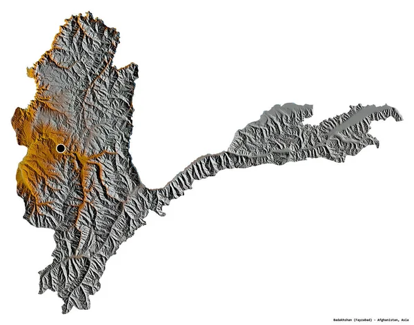
Shape of Badakhshan, province of Afghanistan, with its capital isolated on white background. Topographic relief map. 3D rendering
Shape Badakhshan Province Afghanistan Its Capital Isolated White Background Topographic — Stock Photo, Image
Shape of Manyara, region of Tanzania, with its capital isolated on a solid color background. Satellite imagery. 3D rendering
Shape Manyara Region Tanzania Its Capital Isolated Solid Color Background — Stock Photo, Image
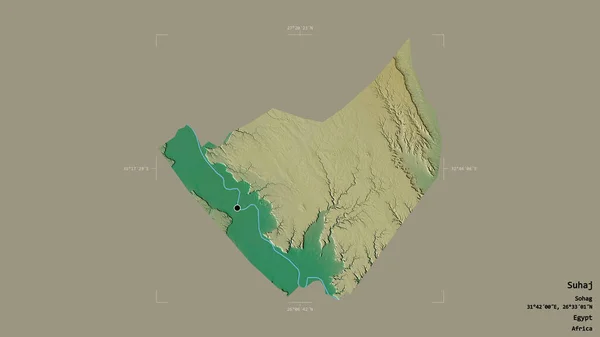
Area of Suhaj, governorate of Egypt, isolated on a solid background in a georeferenced bounding box. Labels. Topographic relief map. 3D rendering
Area Suhaj Governorate Egypt Isolated Solid Background Georeferenced Bounding Box — Stock Photo, Image
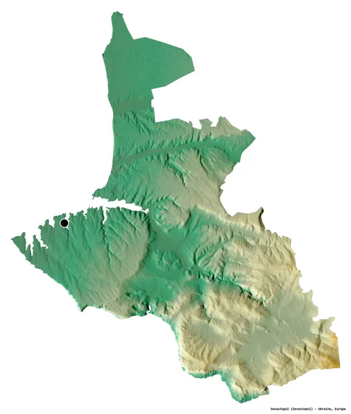
Shape of Sevastopol, autonomous republic of Ukraine, with its capital isolated on white background. Topographic relief map. 3D rendering
Shape Sevastopol Autonomous Republic Ukraine Its Capital Isolated White Background — Stock Photo, Image
Shape of Arad, county of Romania, with its capital isolated on a solid color background. Topographic relief map. 3D rendering
Shape Arad County Romania Its Capital Isolated Solid Color Background — Stock Photo, Image
Shape of Ticino, canton of Switzerland, with its capital isolated on white background. Topographic relief map. 3D rendering
Shape Ticino Canton Switzerland Its Capital Isolated White Background Topographic — Stock Photo, Image
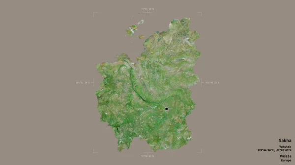
Area of Sakha, republic of Russia, isolated on a solid background in a georeferenced bounding box. Labels. Satellite imagery. 3D rendering
Area Sakha Republic Russia Isolated Solid Background Georeferenced Bounding Box — Stock Photo, Image
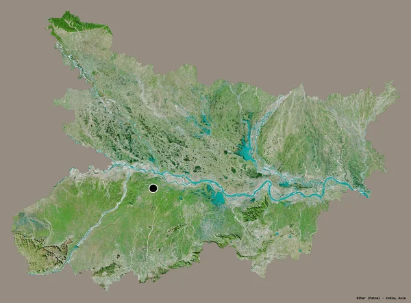
Shape of Bihar, state of India, with its capital isolated on a solid color background. Satellite imagery. 3D rendering
Shape Bihar State India Its Capital Isolated Solid Color Background — Stock Photo, Image

Explore Physical Geography with Stunning Stock Images

Are you in need of captivating visual content for your next project? Look no further! Our extensive collection of stock images offers a wide range of options to bring physical geography to life. Whether you're a researcher, educator, or simply an enthusiast, these high-quality images are perfect for websites, presentations, educational materials, and more.

Discover the Diversity of Physical Geography

Our stock image library showcases the remarkable diversity of physical geography. From towering mountain ranges and majestic waterfalls to vast deserts and winding rivers, you'll find images that cover a spectrum of natural wonders. Whether you're studying geological formations, climate patterns, or ecosystems, our images offer a valuable visual resource to enhance your understanding.

Choose the Perfect Image Type for Your Project

We offer stock images in three different file formats - JPG, AI, and EPS, providing you with versatility and compatibility for various applications. The JPG format is ideal for online use, including websites, blogs, and social media posts. AI and EPS formats, on the other hand, are perfect for professional designs, such as brochures, posters, and print publications.

When selecting an image, consider the purpose and context of your project. If you're creating engaging online content, choose vibrant and dynamic images that capture attention. For scientific papers or educational materials, opt for clear and detailed images that effectively convey complex concepts.

Utilize Eye-Catching Images for Maximum Impact

Visual elements play a crucial role in creating impactful designs. By selecting the right physical geography images, you can instantly captivate your audience. When using these images, ensure they align with your project's objectives and evoke the desired emotional response. For example, if you're promoting adventure tourism in mountainous regions, choose images that showcase breathtaking landscapes and thrill-seeking activities.

Remember to maintain a professional tone and adhere to ethical expectations while using stock images. Respect copyrights and licenses by ensuring you have the proper permissions and adhering to any usage restrictions. By doing so, you can confidently incorporate stunning visuals into your projects.

Make An Impact with Stock Images

Incorporating visually striking images into your work can significantly enhance its overall impact. Whether you're creating informative presentations, engaging websites, or educational materials, our stock images can take your projects to the next level. With our diverse collection of physical geography images, you can effectively communicate complex concepts, evoke emotions, and capture attention.

Unlock the true potential of your projects and browse our stock image library today. Find the perfect visuals to bring physical geography to life and make a lasting impression.