Political map Stock Photos

100,000 Political map pictures are available under a royalty-free license

  • Best Match
  • Fresh
  • Popular
1-100 of 100,000
Flag of Tessin canton on map of switzerland
Flag of Tessin canton on map of switzerland — Stock Photo, Image
Zambia on colorful 3D globe
Zambia on colorful 3D globe — Stock Photo, Image
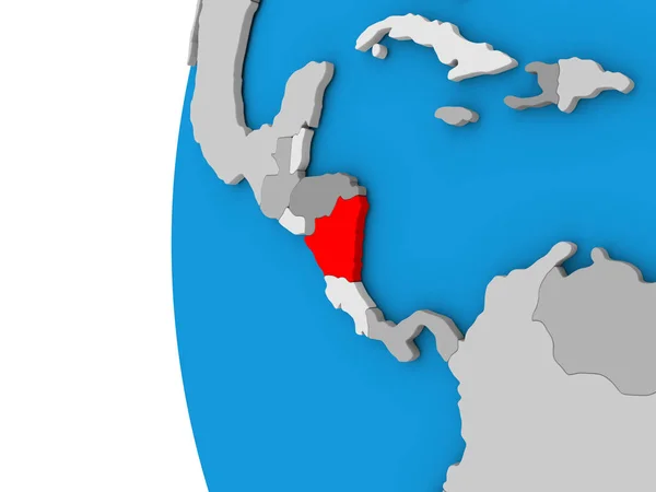
Nicaragua on globe
Nicaragua on globe — Stock Photo, Image
Uzbekistan on globe
Uzbekistan on globe — Stock Photo, Image
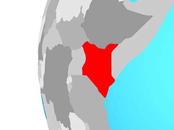
Kenya on blue political globe. 3D illustration.
Kenya Blue Political Globe Illustration — Stock Photo, Image
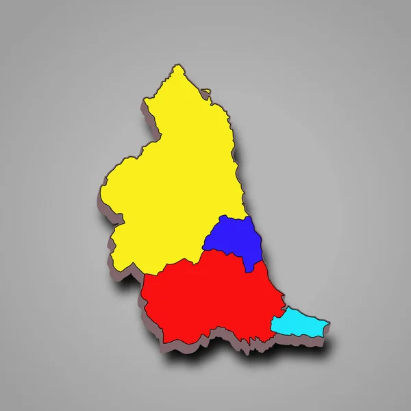
3d rendering colourful High Quality outline map of North East England is a region of England, with borders of the ceremonial counties and different colour.
Rendering Colourful High Quality Outline Map North East England Region — Stock Photo, Image
Icon Illustration with Four Color Variations
Icon Illustration with Four Color Variations — Stock Photo, Image
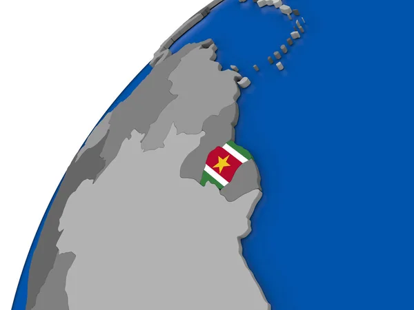
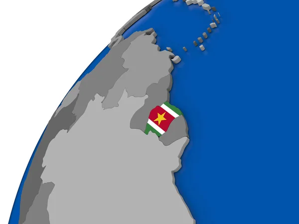
Suriname with flag on political globe
Suriname with flag on political globe — Stock Photo, Image
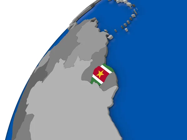
Suriname with flag on political globe
Suriname with flag on political globe — Stock Photo, Image
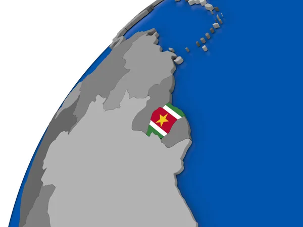
Suriname with flag on political globe
Suriname with flag on political globe — Stock Photo, Image
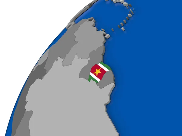
Suriname with flag on political globe
Suriname with flag on political globe — Stock Photo, Image
Suriname with flag on political globe
Suriname with flag on political globe — Stock Photo, Image
Map of Pakistan
Map of Pakistan — Stock Photo, Image
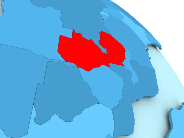
Zambia on blue globe
Zambia on blue globe — Stock Photo, Image
Flag of Azerbaijan on map
Flag of Azerbaijan on map — Stock Photo, Image
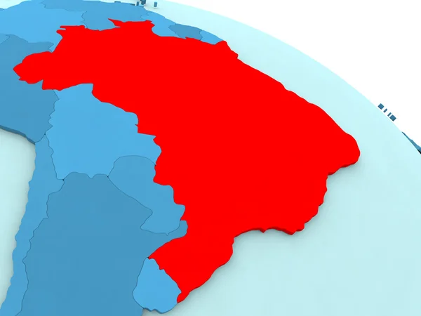
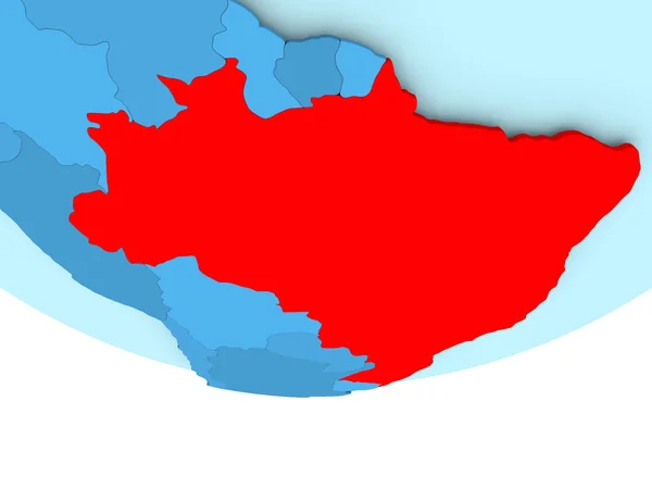
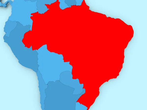
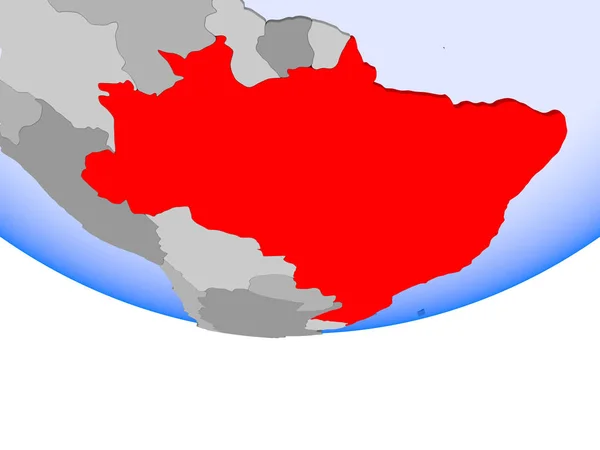
Brazil in red on blue globe
Brazil in red on blue globe — Stock Photo, Image
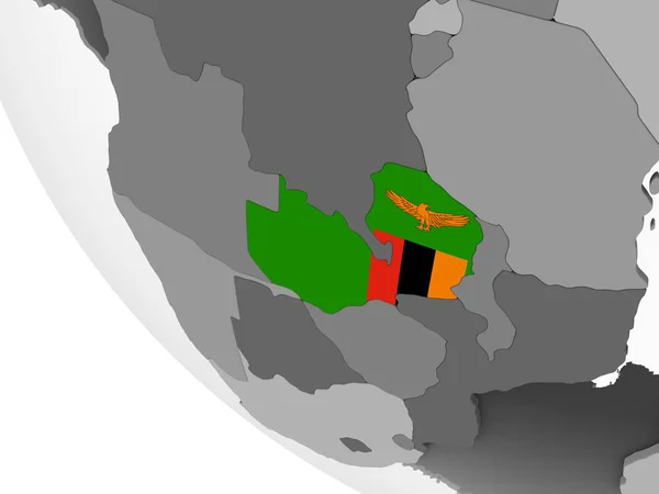
Zambia on gray political globe with embedded flag. 3D illustration.
Zambia Gray Political Globe Embedded Flag Illustration — Stock Photo, Image
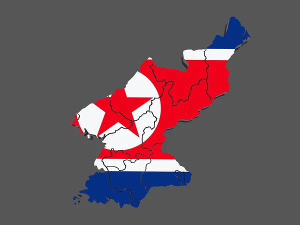
Map of North Korea
Map of North Korea — Stock Photo, Image
Icon Illustration with Four Color Variations
Icon Illustration with Four Color Variations — Stock Photo, Image
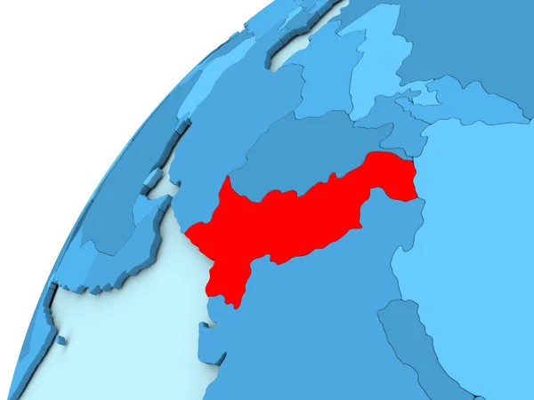
Map of Cameroon in red
Map of Cameroon in red — Stock Photo, Image
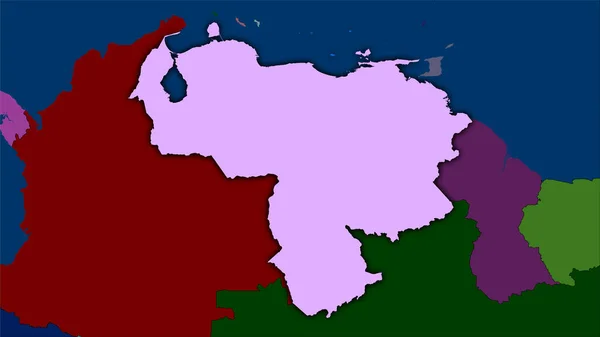
Venezuela area on the administrative divisions map in the stereographic projection - raw composition of raster layers with dark glowing outline
Venezuela Area Administrative Divisions Map Stereographic Projection Raw Composition Raster — Stock Photo, Image
Brazil in red on blue map
Brazil in red on blue map — Stock Photo, Image
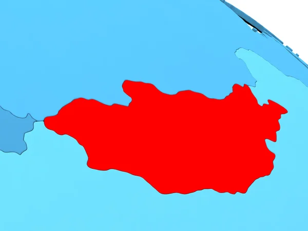
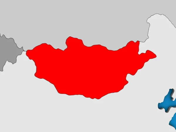
Mongolia in red on blue globe
Mongolia in red on blue globe — Stock Photo, Image
Map of Bangladesh on blue political globe
Map of Bangladesh on blue political globe — Stock Photo, Image
Kazakhstan on grey political globe
Kazakhstan on grey political globe — Stock Photo, Image
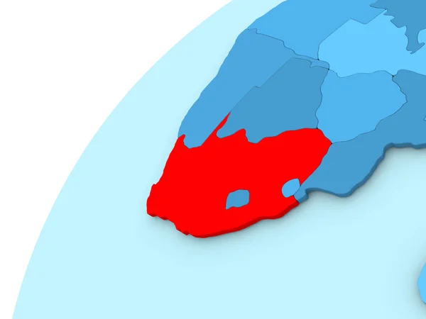
South Africa in red on blue globe
South Africa in red on blue globe — Stock Photo, Image
Myanmar in red on blue map
Myanmar in red on blue map — Stock Photo, Image
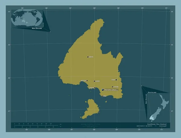
Southland, regional council of New Zealand. Solid color shape. Locations and names of major cities of the region. Corner auxiliary location maps
Southland Regional Council New Zealand Solid Color Shape Locations Names — Stock Photo, Image
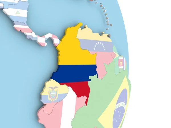
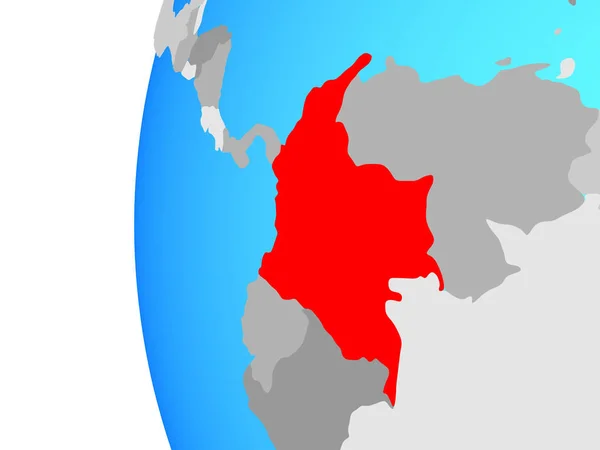
Colombia with flag on globe
Colombia with flag on globe — Stock Photo, Image
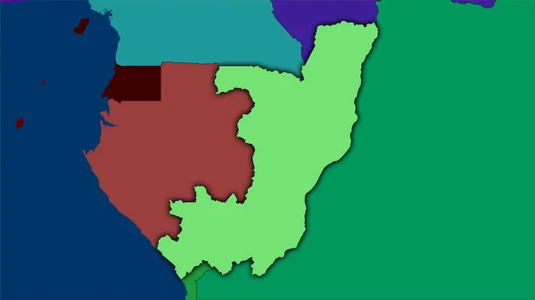
Congo Brazzaville area on the administrative divisions map in the stereographic projection - raw composition of raster layers
Congo Brazzaville Area Administrative Divisions Map Stereographic Projection Raw Composition — Stock Photo, Image
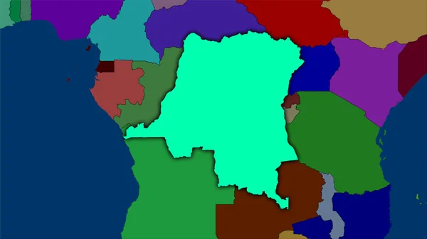
Congo Kinshasa area on the administrative divisions map in the stereographic projection - raw composition of raster layers with dark glowing outline
Congo Kinshasa Area Administrative Divisions Map Stereographic Projection Raw Composition — Stock Photo, Image
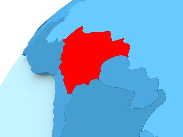
Bolivia on blue globe
Bolivia on blue globe — Stock Photo, Image
Madagascar on simple blue political 3D globe. 3D illustration.
Madagascar Simple Blue Political Globe Illustration — Stock Photo, Image
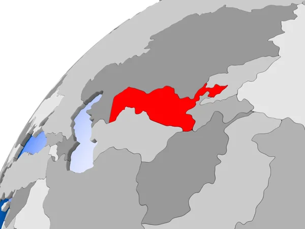
Uzbekistan on simple political globe with visible country borders and transparent oceans. 3D illustration.
Uzbekistan Simple Political Globe Visible Country Borders Transparent Oceans Illustration — Stock Photo, Image
Germany map on a white background
Germany map on a white background — Stock Photo, Image
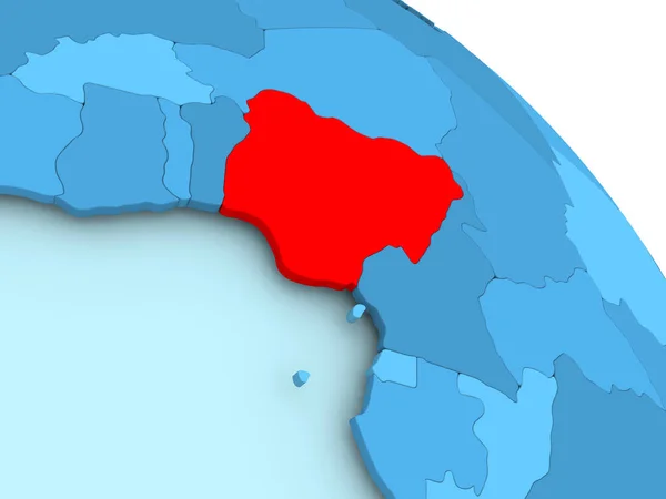
Nigeria on blue globe
Nigeria on blue globe — Stock Photo, Image
Map of Russia with regions isolated on white
Map of Russia with regions isolated on white — Stock Photo, Image
Welcome to Portugal
Welcome to Portugal — Stock Photo, Image
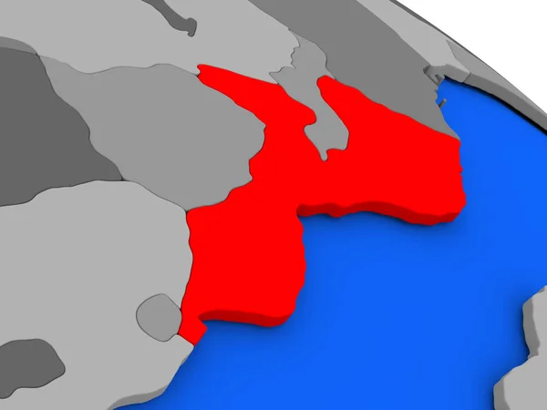
Map of Mozambique on political globe
Map of Mozambique on political globe — Stock Photo, Image
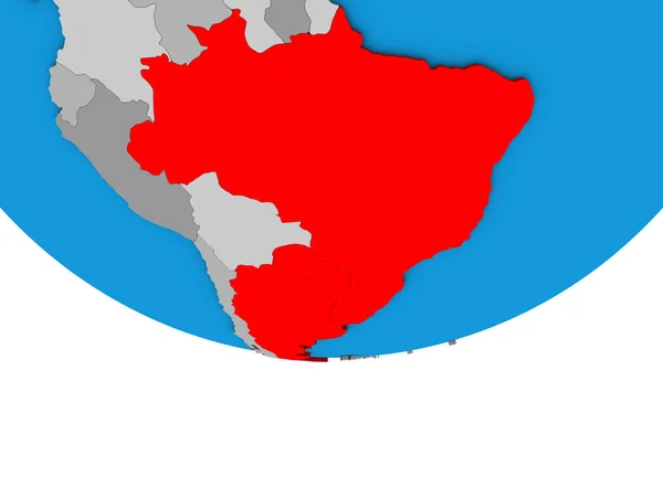
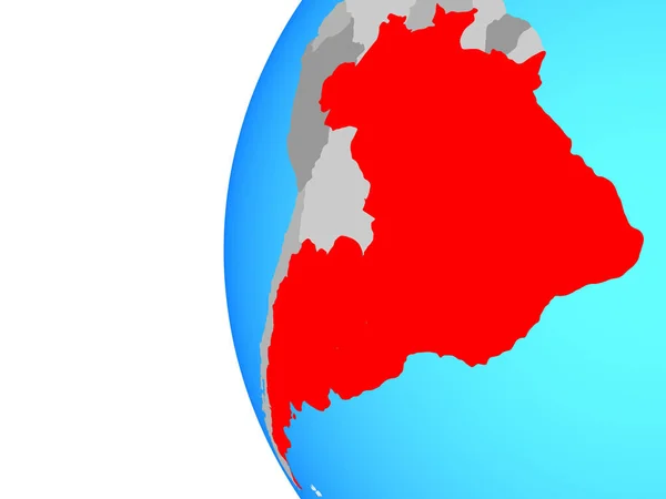
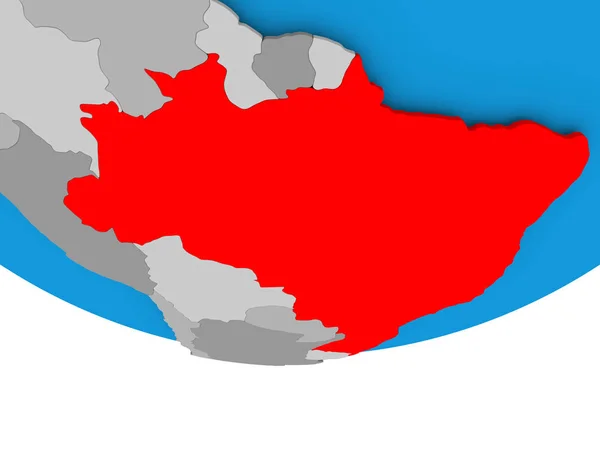
Mercosur memebers on simple political 3D globe. 3D illustration.
Mercosur Memebers Simple Political Globe Illustration — Stock Photo, Image
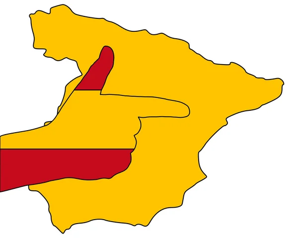
Spanish finger signal
Spanish Finger Signal — Stock Photo, Image
Spanish finger signal
Spanish finger signal — Stock Photo, Image
Mozambique in red
Mozambique in red — Stock Photo, Image
South America on simple political 3D globe. 3D illustration.
South America Simple Political Globe Illustration — Stock Photo, Image
Map of Central Africa in red on grey political globe with transparent oceans. 3D illustration.
Map Central Africa Red Grey Political Globe Transparent Oceans Illustration — Stock Photo, Image
Desaturated shape of France with its capital, main regional division and the separated Centre-Val de Loire area. Labels. Bilevel elevation map. 3D rendering
Desaturated Shape France Its Capital Main Regional Division Separated Centre — Stock Photo, Image
Mercosur memebers on blue political globe. 3D illustration.
Mercosur Memebers Blue Political Globe Illustration — Stock Photo, Image
Mercosur memebers on blue political globe. 3D illustration.
Mercosur Memebers Blue Political Globe Illustration — Stock Photo, Image
Nigeria on blue globe
Nigeria on blue globe — Stock Photo, Image
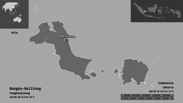
Shape of Bangka-Belitung, province of Indonesia, and its capital. Distance scale, previews and labels. Bilevel elevation map. 3D rendering
Shape Bangka Belitung Province Indonesia Its Capital Distance Scale Previews — Stock Photo, Image
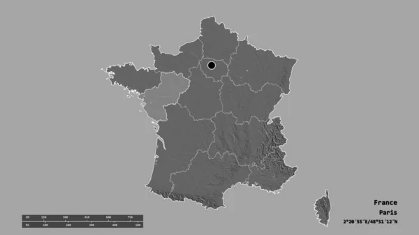
Desaturated shape of France with its capital, main regional division and the separated Pays de la Loire area. Labels. Bilevel elevation map. 3D rendering
Desaturated Shape France Its Capital Main Regional Division Separated Pays — Stock Photo, Image
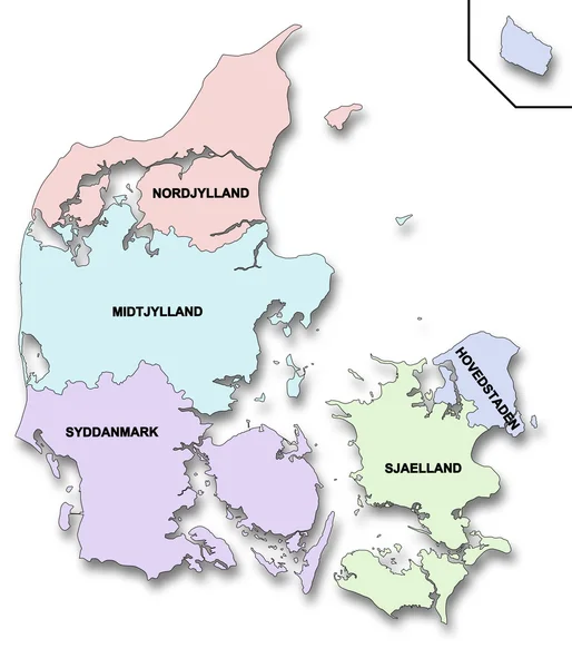
Map of Denmark
Map of Denmark — Stock Photo, Image
Map of Libya in red
Map of Libya in red — Stock Photo, Image
Icon Illustration with Four Color Variations
Icon Illustration with Four Color Variations — Stock Photo, Image
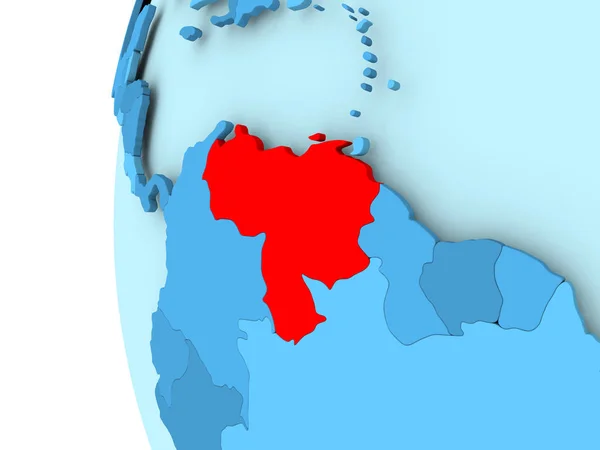
Map of Venezuela
Map of Venezuela — Stock Photo, Image
Spanish finger signal
Spanish finger signal — Stock Photo, Image
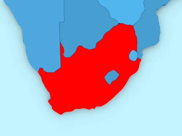
South Africa on 3D map
South Africa on 3D map — Stock Photo, Image
Illustration of Peru on political globe with embedded flag. 3D illustration.
Illustration Peru Political Globe Embedded Flag Illustration — Stock Photo, Image
Sudan in red on blue globe
Sudan in red on blue globe — Stock Photo, Image
Yemen on blue globe
Yemen on blue globe — Stock Photo, Image
Central, region of Ghana. Solid color shape. Corner auxiliary location maps
Central Region Ghana Solid Color Shape Corner Auxiliary Location Maps — Stock Photo, Image
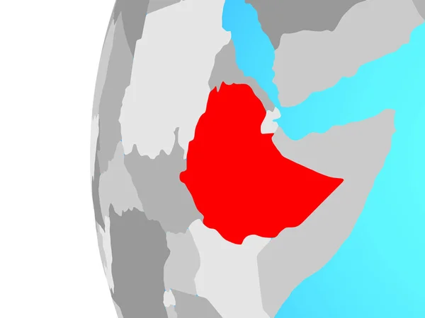
Ethiopia on blue political globe. 3D illustration.
Ethiopia Blue Political Globe Illustration — Stock Photo, Image
Afghanistan in red on blue globe
Afghanistan in red on blue globe — Stock Photo, Image
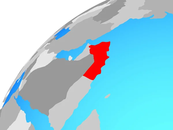
Oman on globe. 3D illustration.
Oman Globe Illustration — Stock Photo, Image
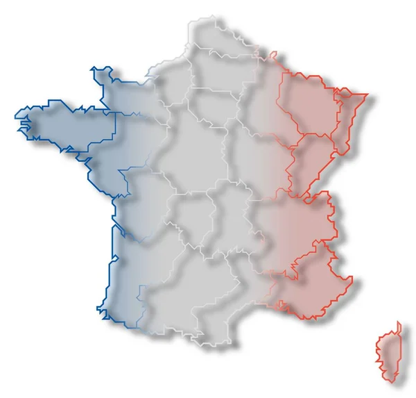
Political map of France with the several regions.
Political Map France Several Regions — Stock Photo, Image
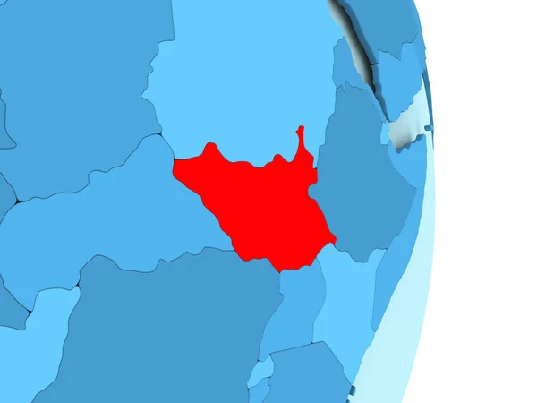
Map of South Sudan in red
Map of South Sudan in red — Stock Photo, Image
Map of Congo on political globe
Map of Congo on political globe — Stock Photo, Image
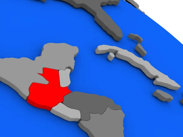
Guatemala in red
Guatemala in red — Stock Photo, Image
Map of South Moravian Region. Czech Republic.
Map of South Moravian Region. Czech Republic. — Stock Photo, Image
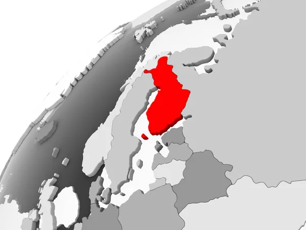
Map of Finland in red on grey political globe with transparent oceans. 3D illustration.
Map Finland Red Grey Political Globe Transparent Oceans Illustration — Stock Photo, Image
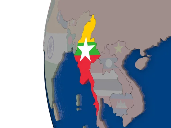
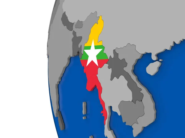
Myanmar with national flag
Myanmar with national flag — Stock Photo, Image
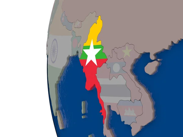
Myanmar with national flag
Myanmar with national flag — Stock Photo, Image
Myanmar with national flag
Myanmar with national flag — Stock Photo, Image
Myanmar with national flag
Myanmar with national flag — Stock Photo, Image
Map of Brazil
Map of Brazil — Stock Photo, Image
Pakistan in red on blue globe
Pakistan in red on blue globe — Stock Photo, Image
Myanmar on globe
Myanmar on globe — Stock Photo, Image
Brazil on globe
Brazil on globe — Stock Photo, Image
Democratic Republic of Congo in red on blue globe
Democratic Republic of Congo in red on blue globe — Stock Photo, Image
Colombia on blue political globe. 3D illustration.
Colombia Blue Political Globe Illustration — Stock Photo, Image
Gabon on metallic globe with blue oceans
Gabon on metallic globe with blue oceans — Stock Photo, Image
Map of Venezuela
Map of Venezuela — Stock Photo, Image
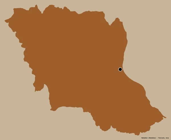
Shape of Mukdahan, province of Thailand, with its capital isolated on a solid color background. Composition of patterned textures. 3D rendering
Shape Mukdahan Province Thailand Its Capital Isolated Solid Color Background — Stock Photo, Image
Congo on blue globe
Congo on blue globe — Stock Photo, Image
Brazil on globe
Brazil on globe — Stock Photo, Image
Icon Illustration with Four Color Variations
Icon Illustration with Four Color Variations — Stock Photo, Image
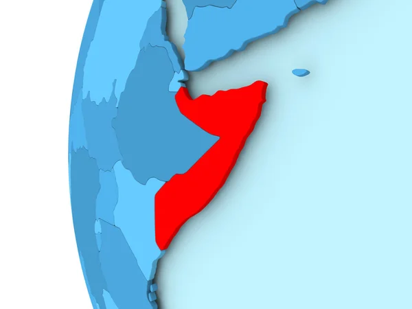
Map of Somalia
Map of Somalia — Stock Photo, Image
Congo Brazzaville area on the administrative divisions map in the stereographic projection - raw composition of raster layers with dark glowing outline
Congo Brazzaville Area Administrative Divisions Map Stereographic Projection Raw Composition — Stock Photo, Image
Mongolia on blue political 3D globe. 3D illustration.
Mongolia Blue Political Globe Illustration — Stock Photo, Image
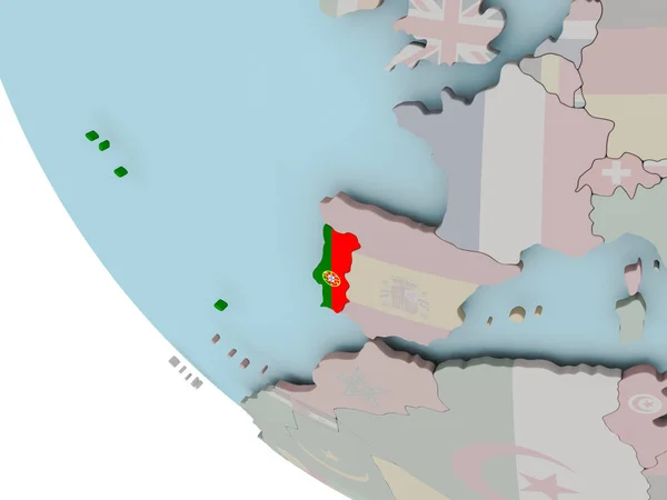
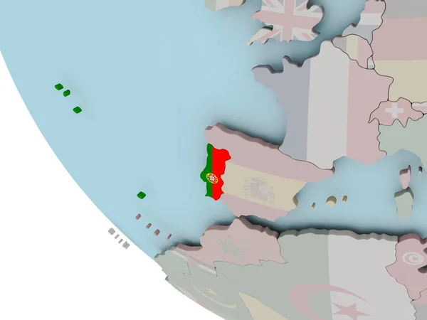
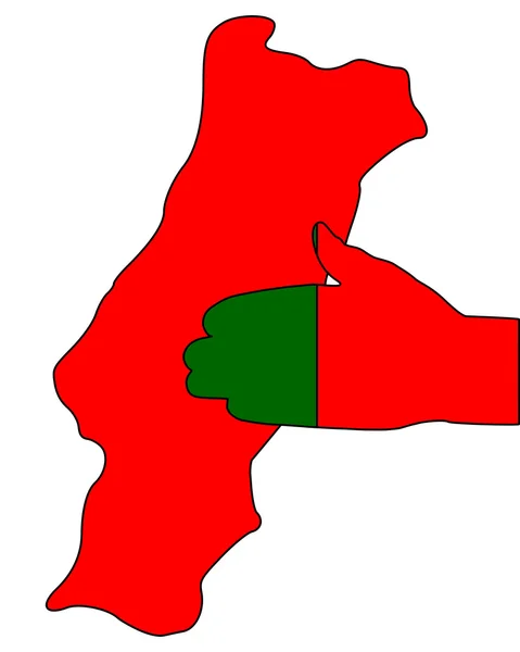
Portugal with flag illustration
Portugal with flag illustration — Stock Photo, Image
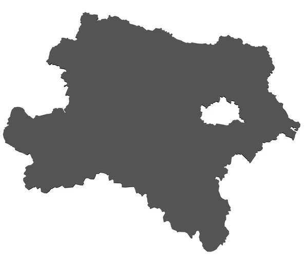
Map of Lower Austria- isolated
Map of Lower Austria- isolated — Stock Photo, Image
Central Africa on simple political globe with visible country borders and transparent oceans. 3D illustration.
Central Africa Simple Political Globe Visible Country Borders Transparent Oceans — Stock Photo, Image
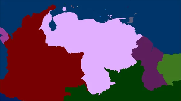
Venezuela area on the administrative divisions map in the stereographic projection - raw composition of raster layers
Venezuela Area Administrative Divisions Map Stereographic Projection Raw Composition Raster — Stock Photo, Image
Portugal with flag illustration
Portugal with flag illustration — Stock Photo, Image
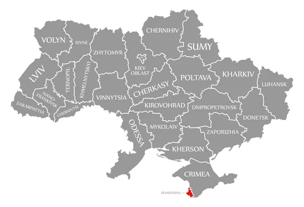
Sevastopol red highlighted in map of the Ukraine
Sevastopol red highlighted in map of the Ukraine — Stock Photo, Image
Icon Illustration with Four Color Variations
Icon Illustration with Four Color Variations — Stock Photo, Image
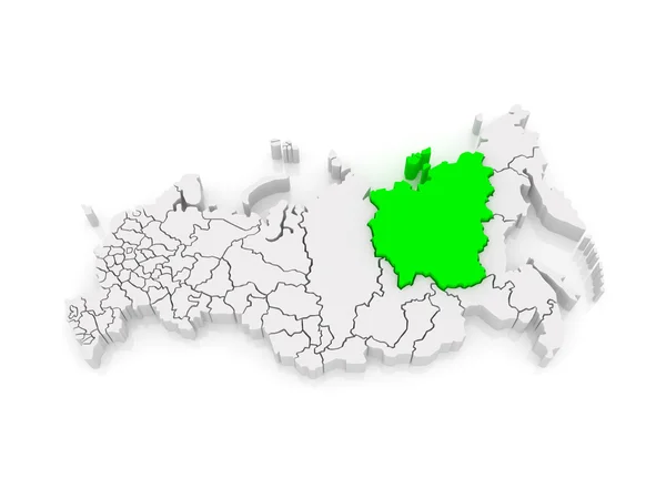
Map of the Russian Federation. Republic of Sakha (Yakutia).
Map of the Russian Federation. Republic of Sakha (Yakutia). — Stock Photo, Image
Green map of Ukraine on a white background close up. Outline of Ukraine
Green map of Ukraine on a white background close up. Outline of Ukraine — Stock Photo, Image

Political Map Images: A Comprehensive Collection of Visual Tools for Your Projects

Are you in need of polished and professional political map images for your upcoming projects? Look no further! Our vast selection of stock images in various file formats, including JPG, AI, and EPS, is perfect for a wide range of applications. Whether you are a student working on a research paper, a journalist creating an informative article, or a designer seeking to enhance the visual appeal of your presentation, our images are versatile and suitable for any purpose.

An Extensive Variety of Political Map Images

Our collection features an extensive variety of political map images, providing you with ample options to choose from. From global maps highlighting countries and continents, to regional and city maps focusing on specific areas, our comprehensive range covers all your geographical needs. Additionally, we offer different design styles, including antique, modern, and minimalist, ensuring that you find the perfect image to match your aesthetic preferences.

With our images, you can easily enhance your website, blog, or social media posts to make them more visually engaging and informative. Illustrate geopolitical discussions, analyze global trends, or showcase historical data with the help of our professionally designed images. By incorporating our political map images, you can effectively convey complex information in a visually appealing manner, capturing and retaining the attention of your audience.

Choosing the Right Image for Your Project

While the task of selecting the right image might seem daunting, we are here to guide you through the process to ensure optimal results. When choosing an image, consider the purpose and context of your project. Are you designing an infographic, creating a slideshow presentation, or writing an educational textbook? Understanding the intended use of the image will help you narrow down the options and select an image that conveys the desired message effectively.

It is also essential to consider the file format that best suits your needs. JPG files are commonly used for web-based projects, as they offer a good balance between file size and image quality. On the other hand, AI and EPS files are ideal if you require scalability without compromising image quality, making them suitable for print materials and graphics editing.

The Benefits of Using High-Quality Political Map Images

Integrating high-quality political map images into your projects offers numerous benefits. Firstly, they provide visual clarity and precision, allowing your audience to understand complex geographical information at a glance. Additionally, images help break up text-heavy content, making it more visually appealing and engaging. They also provide an opportunity to incorporate branding elements such as logos or color schemes, reinforcing your brand identity throughout your project.

Moreover, political map images serve as a visual aid that enhances comprehension and leaves a lasting impression on viewers. Whether you are presenting at a conference, teaching a class, or pitching a business idea, incorporating these images can help captivate your audience and effectively communicate your message.

Unlock the Power of Political Map Images Today

Don't miss out on the opportunity to elevate your projects with our collection of stunning political map images. With an extensive range of options in various formats, we have the perfect image to meet your unique requirements. Whether you need images for educational materials, marketing campaigns, or any other creative endeavor, our collection is sure to exceed your expectations. Browse our gallery today and unlock the power of visual storytelling!