Regional Stock Photos

100,000 Regional pictures are available under a royalty-free license

  • Best Match
  • Fresh
  • Popular
1-100 of 100,000
Business Acronym RDC as Regional Distribution Center
Business Acronym RDC as Regional Distribution Center — Stock Photo, Image
News concept: Regional News with optical glass
News concept: Regional News with optical glass — Stock Photo, Image
Regional News. Information Concept.
Regional News. Information Concept. — Stock Photo, Image
Business Expansion into the Middle East
Business Expansion into the Middle East — Stock Photo, Image
Summer
Summer — Stock Photo, Image
Business Expansion into North America
Business Expansion into North America — Stock Photo, Image
Ingredients for homemade pizza with fresh tomatoes, peppers, olives, mushroom and cheese.
Ingredients for homemade pizza with fresh tomatoes, peppers, olives, mushroom and cheese. — Stock Photo, Image
Local Concept
Local Concept — Stock Photo, Image
Vector map Angola. Isolated vector Illustration. Black on White background. EPS 10 Illustration.
Vector Map Angola Isolated Vector Illustration Black White Background Eps — Stock Photo, Image
Map of Liberec. Czech Republic.
Map of Liberec. Czech Republic. — Stock Photo, Image
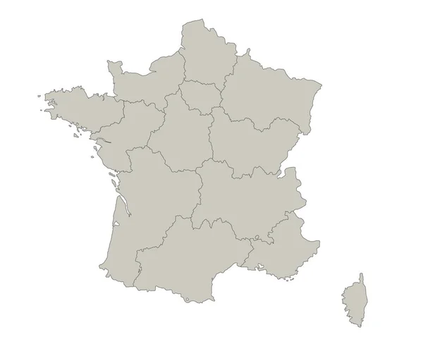
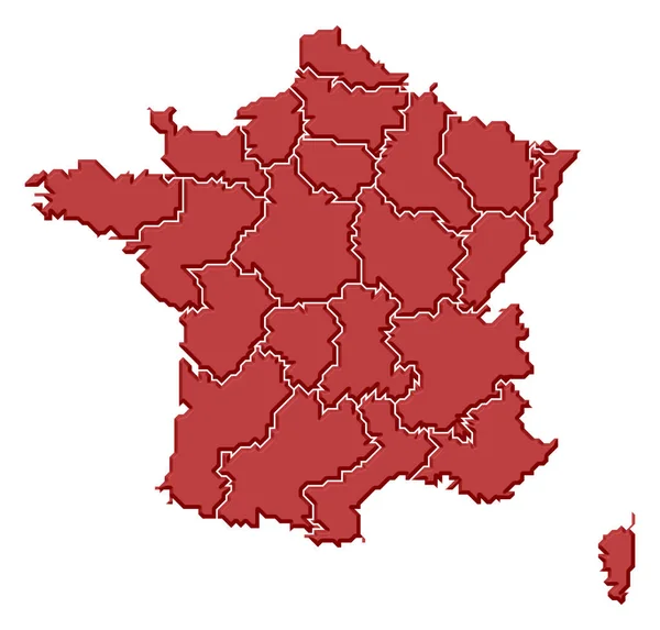
France map, individual regions, blank
France Map Individual Regions Blank — Stock Photo, Image
Shape of North-West, district of Botswana, with its capital isolated on white background. Bilevel elevation map. 3D rendering
Shape North West District Botswana Its Capital Isolated White Background — Stock Photo, Image
Minnesota, state of United States of America. Elevation map colored in wiki style with lakes and rivers
Minnesota State United States America Elevation Map Colored Wiki Style — Stock Photo, Image
Three-dimensional map of New Mexico. USA.
Three-dimensional map of New Mexico. USA. — Stock Photo, Image
Icon Illustration with Four Color Variations
Icon Illustration with Four Color Variations — Stock Photo, Image
Republic of Serbia
Republic of Serbia — Stock Photo, Image
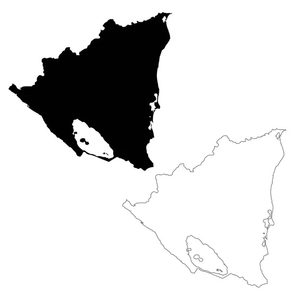
Map Nicaragua. Isolated Illustration. Black on White background.
Map Nicaragua Isolated Illustration Black White Background — Stock Photo, Image
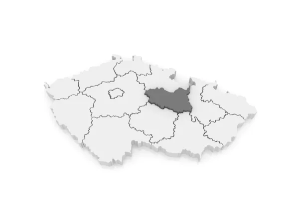
Map of Pardubice. Czech Republic.
Map of Pardubice. Czech Republic. — Stock Photo, Image
French Republic
French Republic — Stock Photo, Image
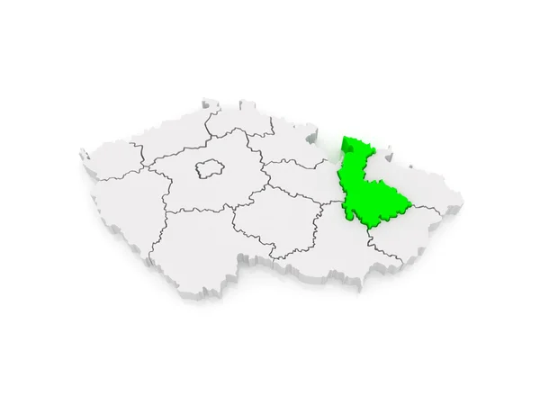
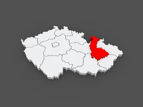
Map of Olomouc. Czech Republic.
Map of Olomouc. Czech Republic. — Stock Photo, Image
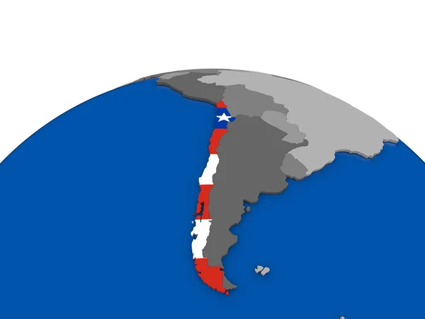
Chile on 3D globe
Chile on 3D globe — Stock Photo, Image
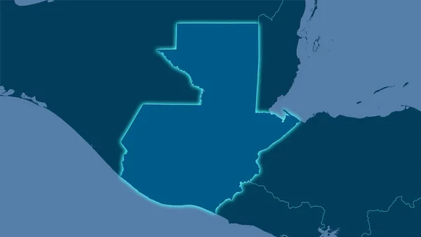
Guatemala area on the solid map in the stereographic projection - raw composition of raster layers with light glowing outline
Guatemala Area Solid Map Stereographic Projection Raw Composition Raster Layers — Stock Photo, Image
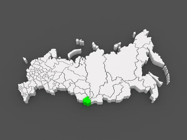
Map of the Russian Federation. Altai Republic.
Map of the Russian Federation. Altai Republic. — Stock Photo, Image
Map of South Moravian Region. Czech Republic.
Map of South Moravian Region. Czech Republic. — Stock Photo, Image
Map of Manabi. Ecuador.
Map of Manabi. Ecuador. — Stock Photo, Image
Map of Moravian. Czech Republic.
Map of Moravian. Czech Republic. — Stock Photo, Image
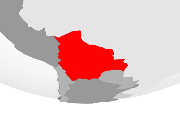
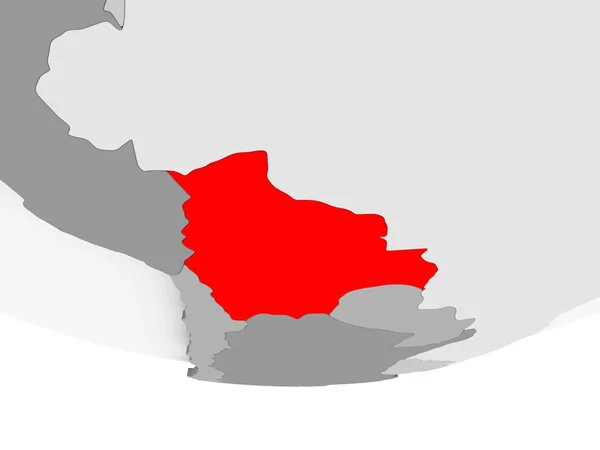
Bolivia in red on grey political globe with transparent oceans. 3D illustration.
Bolivia Red Grey Political Globe Transparent Oceans Illustration — Stock Photo, Image
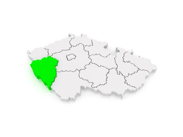
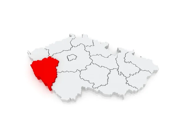
Map of Plzen Region. Czech Republic.
Map of Plzen Region. Czech Republic. — Stock Photo, Image
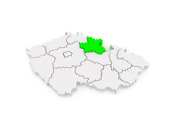
Map of Hradec Kralove Region. Czech Republic.
Map of Hradec Kralove Region. Czech Republic. — Stock Photo, Image
Map of Bolivia on grey political globe
Map of Bolivia on grey political globe — Stock Photo, Image
Map of Bolivia on grey political globe
Map of Bolivia on grey political globe — Stock Photo, Image
Map Argentina. Isolated Illustration. Black on White background.
Map Argentina Isolated Illustration Black White Background — Stock Photo, Image
Map Argentina. Isolated Illustration. Black on White background.
Map Argentina Isolated Illustration Black White Background — Stock Photo, Image
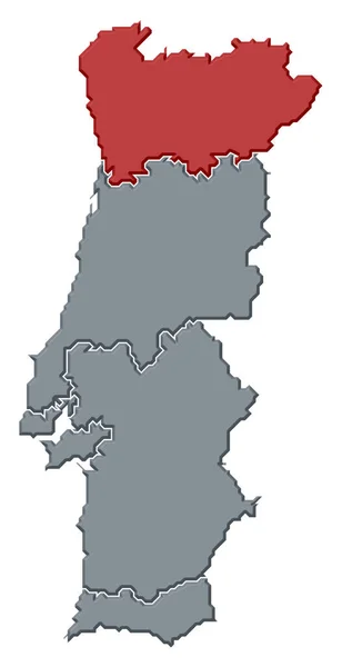
Political map of Portugal with the several regions where Norte Region is highlighted.
Political Map Portugal Several Regions Norte Region Highlighted — Stock Photo, Image
Map of Moravian. Czech Republic.
Map of Moravian. Czech Republic. — Stock Photo, Image
Map of Hradec Kralove Region. Czech Republic.
Map of Hradec Kralove Region. Czech Republic. — Stock Photo, Image
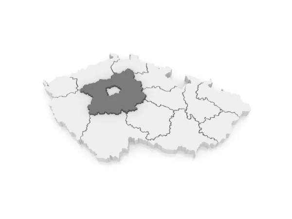
Map of Central Bohemian Region. Czech Republic.
Map of Central Bohemian Region. Czech Republic. — Stock Photo, Image
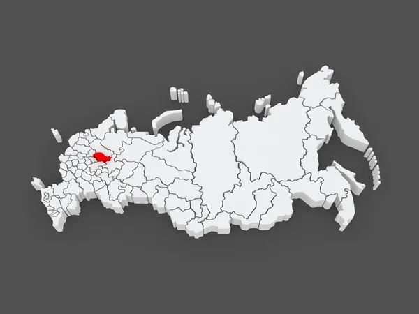
Map of the Russian Federation. Kostroma region.
Map of the Russian Federation. Kostroma region. — Stock Photo, Image
Central Region Scotland Map in grey
Central Region Scotland Map Grey — Stock Photo, Image
Map of Plzen Region. Czech Republic.
Map of Plzen Region. Czech Republic. — Stock Photo, Image
Southeast Region Development Romania.
Southeast Region Development Romania. — Stock Photo, Image
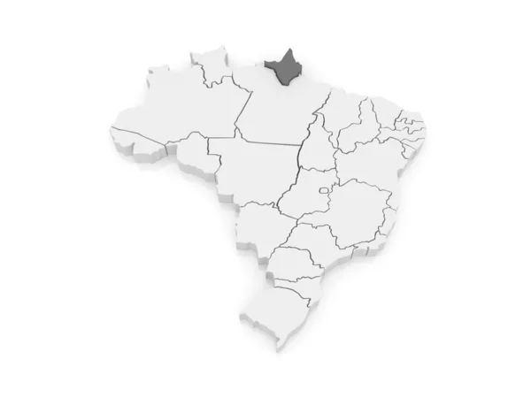
Map of Amapa. Brazil.
Map of Amapa. Brazil. — Stock Photo, Image
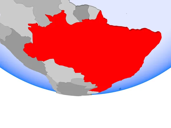
Brazil on globe
Brazil on globe — Stock Photo, Image
Shape of Batdambang, province of Cambodia, with its capital isolated on a solid color background. Composition of patterned textures. 3D rendering
Shape Batdambang Province Cambodia Its Capital Isolated Solid Color Background — Stock Photo, Image
Outline on clean background of the continent of South America
Outline on clean background of the continent of South America — Stock Photo, Image
Map of South Moravian Region. Czech Republic.
Map of South Moravian Region. Czech Republic. — Stock Photo, Image
Map of the Russian Federation. Republic of Tatarstan.
Map of the Russian Federation. Republic of Tatarstan. — Stock Photo, Image
Three-dimensional map of Spain.
Three-dimensional map of Spain. — Stock Photo, Image
Three-dimensional map of Czech.
Three-dimensional map of Czech. — Stock Photo, Image
Shape of North-West, district of Botswana, with its capital isolated on a solid color background. Bilevel elevation map. 3D rendering
Shape North West District Botswana Its Capital Isolated Solid Color — Stock Photo, Image
Map of Trujillo. Venezuela.
Map of Trujillo. Venezuela. — Stock Photo, Image
Green map of Ukraine on a white background close up. Outline of Ukraine
Green map of Ukraine on a white background close up. Outline of Ukraine — Stock Photo, Image
Map of Karlovy Vary Region. Czech Republic.
Map of Karlovy Vary Region. Czech Republic. — Stock Photo, Image
Political map of France with the several regions.
Political Map France Several Regions — Stock Photo, Image
Map of el salvador
Map of el salvador — Stock Photo, Image
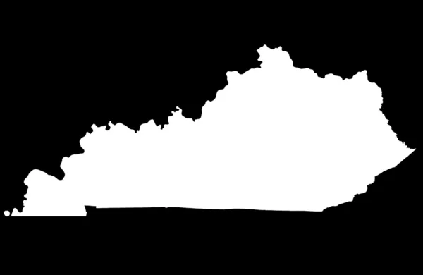
Commonwealth of Kentucky map
Commonwealth of Kentucky map — Stock Photo, Image
France outline map on white background
France Outline Map White Background — Stock Photo, Image
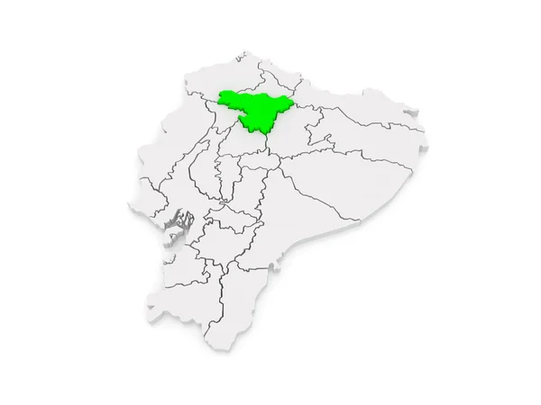
Map of Pichincha. Ecuador.
Map of Pichincha. Ecuador. — Stock Photo, Image
Ethiopia 3d map with national color
Ethiopia 3d map with national color — Stock Photo, Image
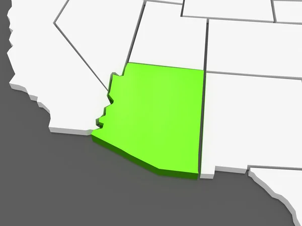
Three-dimensional map of Arizona. USA.
Three-dimensional map of Arizona. USA. — Stock Photo, Image
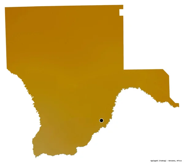
Shape of Kgalagadi, district of Botswana, with its capital isolated on a solid color background. Bilevel elevation map. 3D rendering
Shape Kgalagadi District Botswana Its Capital Isolated Solid Color Background — Stock Photo, Image
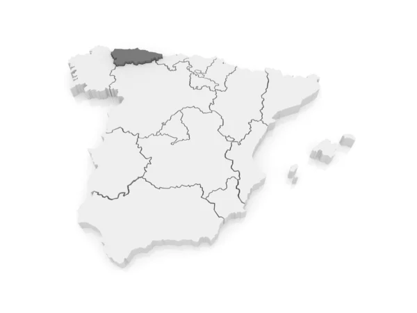
Map of Asturias. Spain.
Map of Asturias. Spain. — Stock Photo, Image
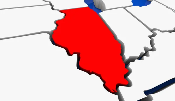
Illinois IL State Map Chicago Travel Business Destination Location 3d Illustration
Illinois State Map Chicago Travel Business Destination Location Illustration — Stock Photo, Image
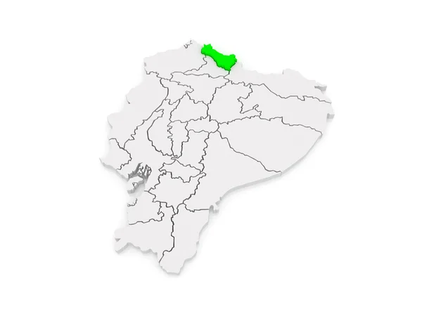
Map of Carchi. Ecuador.
Map of Carchi. Ecuador. — Stock Photo, Image
Namibia highlighted in red on political globe with transparent oceans. 3D illustration.
Namibia Highlighted Red Political Globe Transparent Oceans Illustration — Stock Photo, Image
Angola on political globe
Angola on political globe — Stock Photo, Image
Map of Karlovy Vary Region. Czech Republic.
Map of Karlovy Vary Region. Czech Republic. — Stock Photo, Image
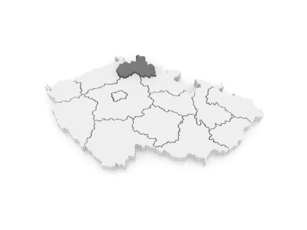
Map of Usti region. Czech Republic.
Map of Usti region. Czech Republic. — Stock Photo, Image
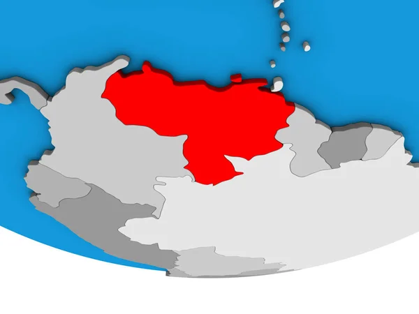
Venezuela on simple political 3D globe. 3D illustration.
Venezuela Simple Political Globe Illustration — Stock Photo, Image
Map of Capital of Prague. Czech Republic.
Map of Capital of Prague. Czech Republic. — Stock Photo, Image
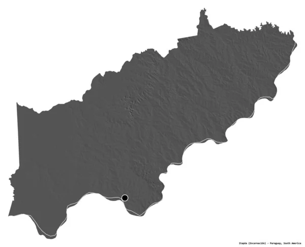
Shape of Itapua, department of Paraguay, with its capital isolated on white background. Bilevel elevation map. 3D rendering
Shape Itapua Department Paraguay Its Capital Isolated White Background Bilevel — Stock Photo, Image
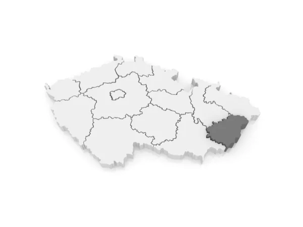
Map of Zlin Region. Czech Republic.
Map of Zlin Region. Czech Republic. — Stock Photo, Image
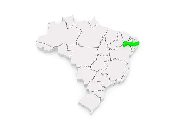
Map of Pernambuco. Brazil.
Map of Pernambuco. Brazil. — Stock Photo, Image
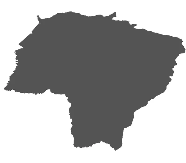
Map of Mato Grosso Do Sul - Brazil
Map of Mato Grosso Do Sul - Brazil — Stock Photo, Image
Map of Austria
Map of Austria — Stock Photo, Image
Map of Couple. Brazil.
Map of Couple. Brazil. — Stock Photo, Image
Shape of Nkhotakota, district of Malawi, with its capital isolated on white background. Composition of patterned textures. 3D rendering
Shape Nkhotakota District Malawi Its Capital Isolated White Background Composition — Stock Photo, Image
Shape of Kgalagadi, district of Botswana, with its capital isolated on white background. Topographic relief map. 3D rendering
Shape Kgalagadi District Botswana Its Capital Isolated White Background Topographic — Stock Photo, Image
Shape of Rutland, unitary authority of England, with its capital isolated on white background. Composition of patterned textures. 3D rendering
Shape Rutland Unitary Authority England Its Capital Isolated White Background — Stock Photo, Image
Map of Karlovy Vary Region. Czech Republic.
Map of Karlovy Vary Region. Czech Republic. — Stock Photo, Image
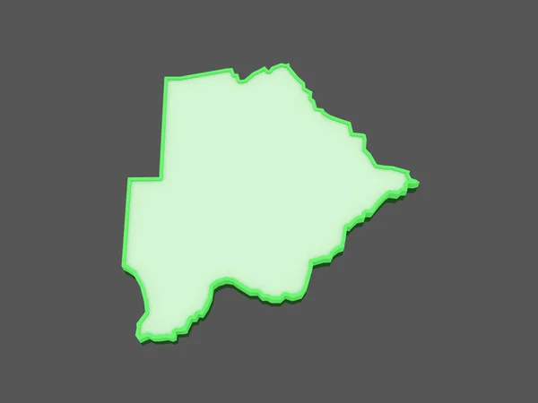
Map of Botswana.
Map of Botswana. — Stock Photo, Image
Ecuador with flag on political globe
Ecuador with flag on political globe — Stock Photo, Image
Ecuador with flag on political globe
Ecuador with flag on political globe — Stock Photo, Image
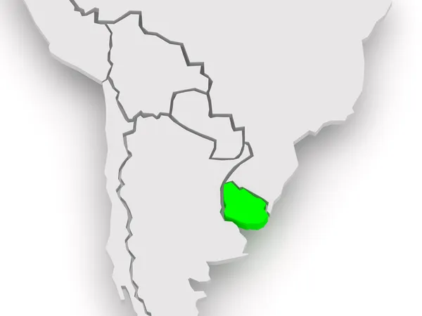
Map of worlds. Uruguay.
Map of worlds. Uruguay. — Stock Photo, Image
Map of Uruguay
Map of Uruguay — Stock Photo, Image
Map of the Russian Federation. Lipetsk region.
Map of the Russian Federation. Lipetsk region. — Stock Photo, Image
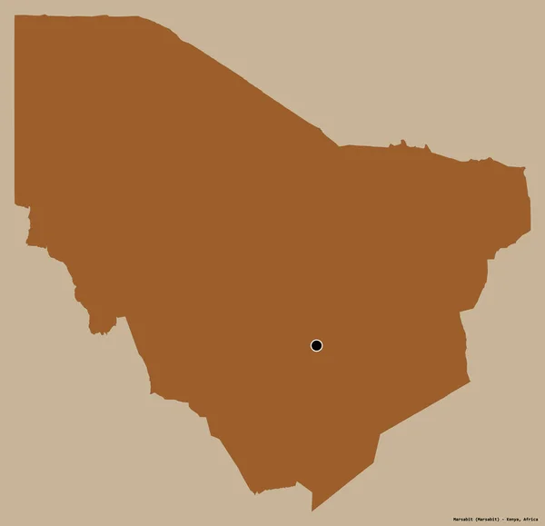
Shape of Marsabit, county of Kenya, with its capital isolated on a solid color background. Composition of patterned textures. 3D rendering
Shape Marsabit County Kenya Its Capital Isolated Solid Color Background — Stock Photo, Image
Shape of North-West, district of Botswana, with its capital isolated on white background. Colored elevation map. 3D rendering
Shape North West District Botswana Its Capital Isolated White Background — Stock Photo, Image
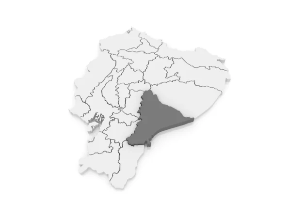
Map of Morona Santiago. Ecuador.
Map of Morona Santiago. Ecuador. — Stock Photo, Image
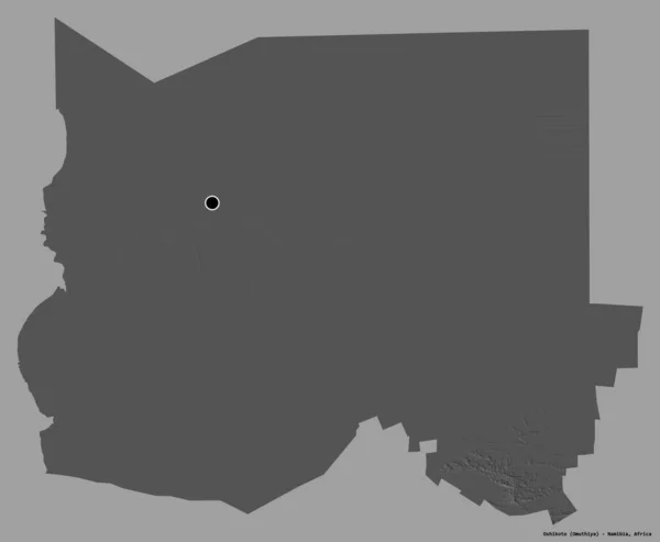
Shape of Oshikoto, region of Namibia, with its capital isolated on a solid color background. Bilevel elevation map. 3D rendering
Shape Oshikoto Region Namibia Its Capital Isolated Solid Color Background — Stock Photo, Image
A virtual germany land map digital in hand 3d
Virtual Germany Land Map Digital Hand — Stock Photo, Image
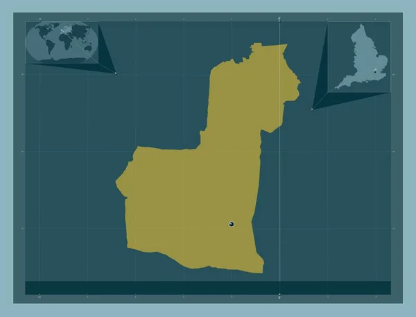
Broxbourne, non metropolitan district of England - Great Britain. Solid color shape. Corner auxiliary location maps
Broxbourne Non Metropolitan District England Great Britain Solid Color Shape — Stock Photo, Image
Illustration of Brazil highlighted in red on blue globe with transparent oceans. 3D illustration.
Illustration Brazil Highlighted Red Blue Globe Transparent Oceans Illustration — Stock Photo, Image
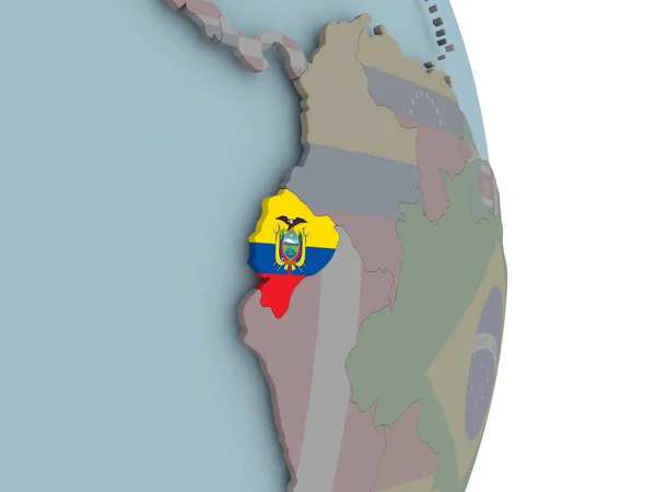
Ecuador with embedded national flag on political globe. 3D illustration.
Ecuador Embedded National Flag Political Globe Illustration — Stock Photo, Image
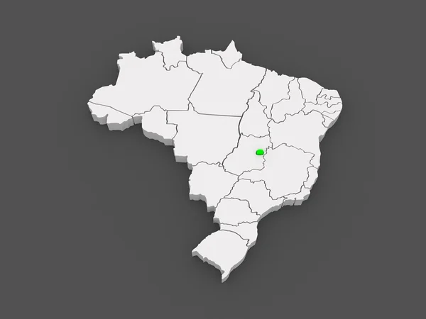
Map of Brasilia. Brazil.
Map of Brasilia. Brazil. — Stock Photo, Image
Map of Olomouc. Czech Republic.
Map of Olomouc. Czech Republic. — Stock Photo, Image
Map of the Russian Federation. Komi Republic.
Map of the Russian Federation. Komi Republic. — Stock Photo, Image
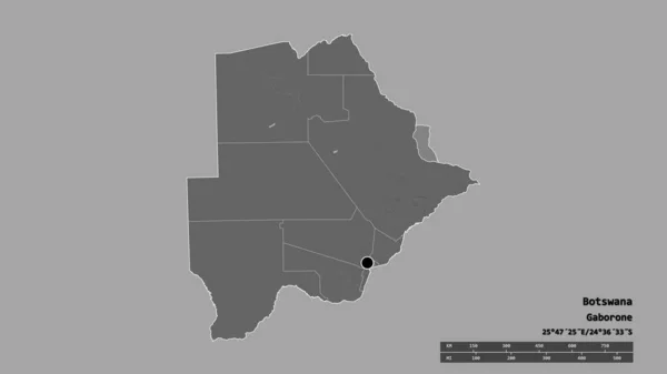
Desaturated shape of Botswana with its capital, main regional division and the separated North-East area. Labels. Bilevel elevation map. 3D rendering
Desaturated Shape Botswana Its Capital Main Regional Division Separated North — Stock Photo, Image
Map of Santa Elena. Ecuador.
Map of Santa Elena. Ecuador. — Stock Photo, Image
Grey map of France on isolated on white background
Grey Map France Isolated White Background — Stock Photo, Image

Regional Images for Your Next Project

When it comes to visual storytelling, images play a crucial role in capturing the essence of your project. Whether you're creating a website, designing a brochure, or publishing a magazine, the right imagery can evoke emotion, spark interest, and connect with your audience on a deeper level. That's why we've curated a collection of regional images that are vibrant, authentic, and perfect for showcasing the beauty of different locations.

Types of Images Available

Our collection of regional images features a diverse range of subjects, including landscapes, architecture, people, food, and culture. With high-quality JPG, AI, and EPS files available, you can easily integrate these images into your designs, webpages, and marketing materials without any loss of quality. From sweeping vistas of rolling hills to candid portraits of locals, our collection has everything you need to create stunning visuals that capture the essence of your location or theme.

Where to Use Regional Images

Whether you're trying to promote a tourist destination, highlight local businesses, or celebrate the diversity of different regions, our collection of regional images is versatile enough to suit a variety of purposes. You can use them to create engaging social media posts, design eye-catching billboards or banners, or even integrate them into presentations or reports. Plus, our images are available in various resolutions, so you can adapt them to your specific needs and make sure they look great on any platform.

How to Choose the Right Image

Choosing the right image can be a daunting task, but with our collection of regional images, you can make sure you're selecting visuals that are both relevant and impactful. To narrow down your options, try to identify the key elements that you want to highlight in your project. For example, if you're creating a travel brochure, you might want to focus on images that showcase iconic landmarks, scenic landscapes, or adventurous activities. Alternatively, if you're showcasing local cuisine, you may want to feature images of mouth-watering dishes with vibrant colors and textures. As you browse our collection, keep in mind the message you want to convey and the emotions you want to evoke.

The Importance of Authenticity

When it comes to regional images, authenticity is key. In order to create visuals that resonate with your audience, you need to capture the essence of the location or theme you're representing. That's why our collection features images that are not only stunning but also authentic and culturally-sensitive. We believe that showcasing the beauty and diversity of different regions requires a deep understanding of their history, traditions, and people. By choosing our regional images, you can be confident that you're getting visuals that are not only beautiful but also respectful and accurate.

Overall, our collection of regional images is a valuable resource for anyone seeking to showcase the beauty and diversity of different locations. With high-quality images available in various formats and resolutions, you can easily create visuals that capture the essence of your project and connect with your audience on a deeper level. So don't settle for generic stock photos – choose our regional images to create visuals that are stunning, authentic, and impactful.