Sinai peninsula Stock Photos

100,000 Sinai peninsula pictures are available under a royalty-free license

  • Best Match
  • Fresh
  • Popular
1-100 of 100,000
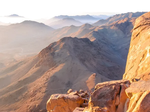
Mount Sinai Egypt
Mount Sinai Egypt — Stock Photo, Image
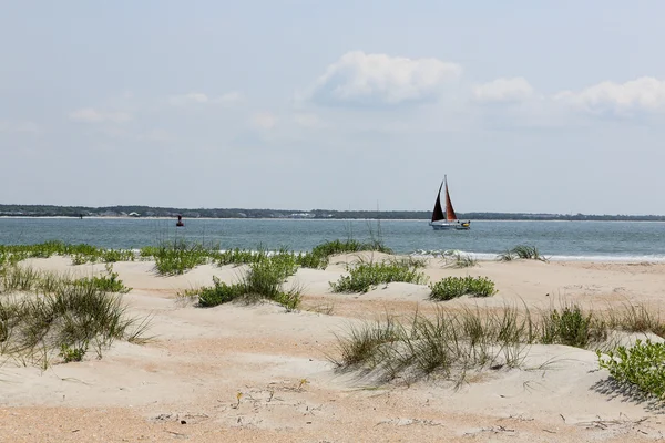
Sand dunes with grasses at the beach
Sand dunes with grasses at the beach — Stock Photo, Image
Sharm El Sheikh, Egypt - January 24, 2018:people traveling on camels in egypt desert
Sharm El Sheikh, Egypt - January 24, 2018:people traveling on camels in egypt desert — Stock Photo, Image
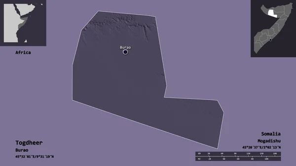
Shape of Togdheer, region of Somalia, and its capital. Distance scale, previews and labels. Colored elevation map. 3D rendering
Shape Togdheer Region Somalia Its Capital Distance Scale Previews Labels — Stock Photo, Image
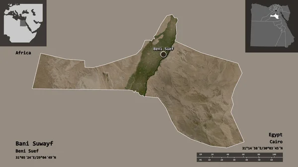
Shape of Bani Suwayf, governorate of Egypt, and its capital. Distance scale, previews and labels. Satellite imagery. 3D rendering
Shape Bani Suwayf Governorate Egypt Its Capital Distance Scale Previews — Stock Photo, Image
Area of Rocha, department of Uruguay, isolated on a solid background in a georeferenced bounding box. Labels. Bilevel elevation map. 3D rendering
Area Rocha Department Uruguay Isolated Solid Background Georeferenced Bounding Box — Stock Photo, Image
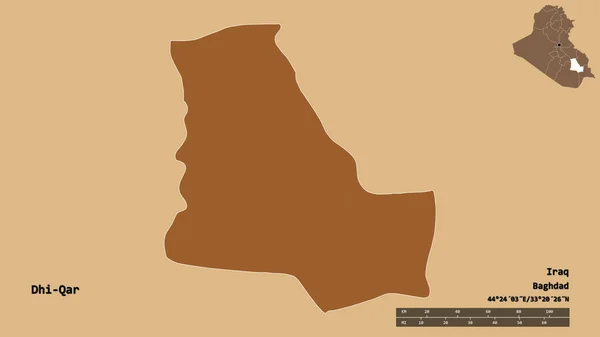
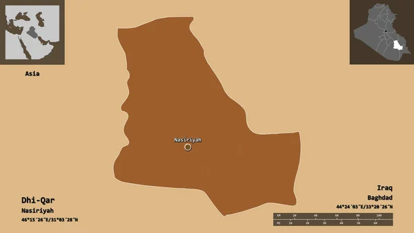
Shape of Dhi-Qar, province of Iraq, with its capital isolated on solid background. Distance scale, region preview and labels. Composition of patterned textures. 3D rendering
Shape Dhi Qar Province Iraq Its Capital Isolated Solid Background — Stock Photo, Image
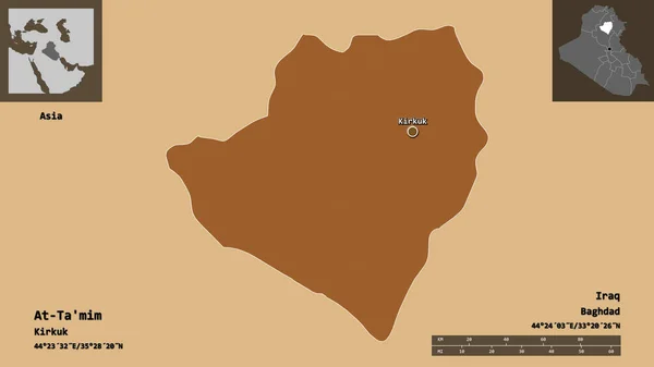
Shape of At-Ta'mim, province of Iraq, and its capital. Distance scale, previews and labels. Composition of patterned textures. 3D rendering
Shape Mim Province Iraq Its Capital Distance Scale Previews Labels — Stock Photo, Image
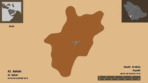
Shape of Al Bahah, region of Saudi Arabia, and its capital. Distance scale, previews and labels. Composition of patterned textures. 3D rendering
Shape Bahah Region Saudi Arabia Its Capital Distance Scale Previews — Stock Photo, Image
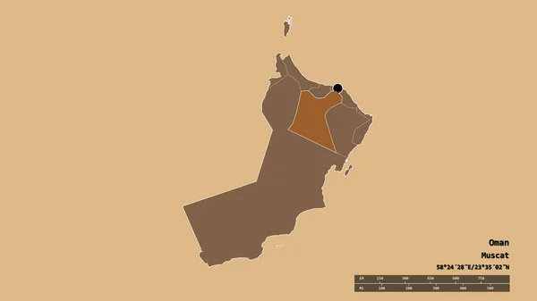
Shape of Muscat, province of Oman, and its capital. Distance scale, previews and labels. Composition of regularly patterned textures. 3D rendering
Shape Muscat Province Oman Its Capital Distance Scale Previews Labels — Stock Photo, Image
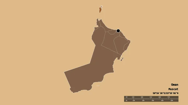
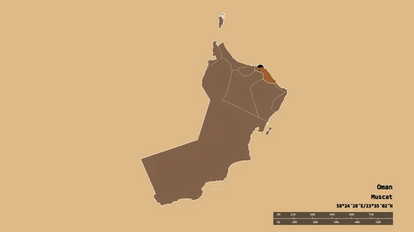
Desaturated shape of Oman with its capital, main regional division and the separated Musandam area. Labels. Composition of regularly patterned textures. 3D rendering
Desaturated Shape Oman Its Capital Main Regional Division Separated Musandam — Stock Photo, Image
Shape of Maysan, province of Iraq, and its capital. Distance scale, previews and labels. Composition of patterned textures. 3D rendering
Shape Maysan Province Iraq Its Capital Distance Scale Previews Labels — Stock Photo, Image
Shape of Ash Sharqiyah North, region of Oman, and its capital. Distance scale, previews and labels. Colored elevation map. 3D rendering
Shape Ash Sharqiyah North Region Oman Its Capital Distance Scale — Stock Photo, Image
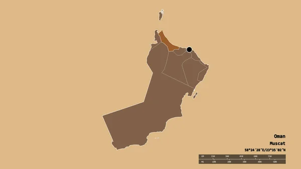
Desaturated shape of Oman with its capital, main regional division and the separated Al Batinah North area. Labels. Composition of regularly patterned textures. 3D rendering
Desaturated Shape Oman Its Capital Main Regional Division Separated Batinah — Stock Photo, Image
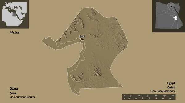
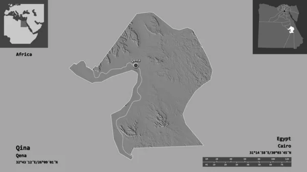
Shape of Qina, governorate of Egypt, and its capital. Distance scale, previews and labels. Colored elevation map. 3D rendering
Shape Qina Governorate Egypt Its Capital Distance Scale Previews Labels — Stock Photo, Image
Shape of Janub Sina, governorate of Egypt, and its capital. Distance scale, previews and labels. Colored elevation map. 3D rendering
Shape Janub Sina Governorate Egypt Its Capital Distance Scale Previews — Stock Photo, Image
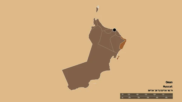
Desaturated shape of Oman with its capital, main regional division and the separated Ash Sharqiyah South area. Labels. Composition of regularly patterned textures. 3D rendering
Desaturated Shape Oman Its Capital Main Regional Division Separated Ash — Stock Photo, Image
Area of Khorezm, region of Uzbekistan, isolated on a solid background in a georeferenced bounding box. Labels. Bilevel elevation map. 3D rendering
Area Khorezm Region Uzbekistan Isolated Solid Background Georeferenced Bounding Box — Stock Photo, Image
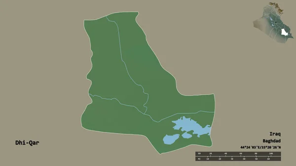
Shape of Dhi-Qar, province of Iraq, with its capital isolated on solid background. Distance scale, region preview and labels. Topographic relief map. 3D rendering
Shape Dhi Qar Province Iraq Its Capital Isolated Solid Background — Stock Photo, Image
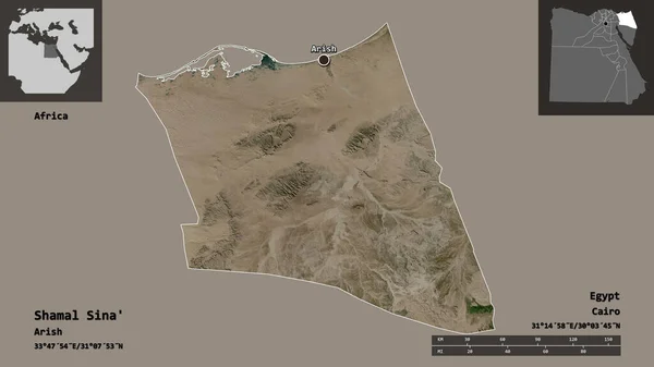
Shape of Shamal Sina', governorate of Egypt, and its capital. Distance scale, previews and labels. Satellite imagery. 3D rendering
Shape Shamal Sina Governorate Egypt Its Capital Distance Scale Previews — Stock Photo, Image
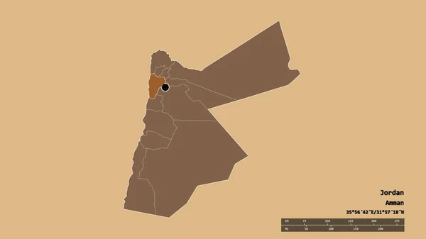
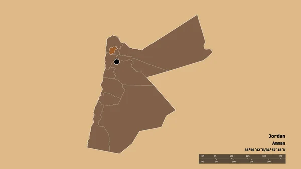
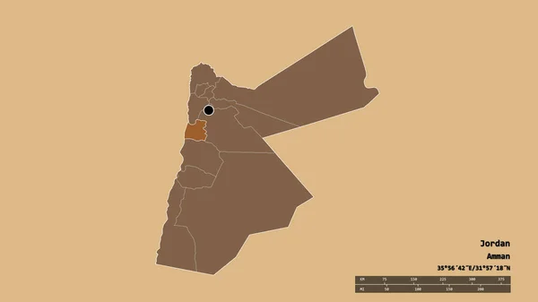
Desaturated shape of Jordan with its capital, main regional division and the separated Balqa area. Labels. Composition of patterned textures. 3D rendering
Desaturated Shape Jordan Its Capital Main Regional Division Separated Balqa — Stock Photo, Image
Shape of Mudug, region of Somalia, with its capital isolated on solid background. Distance scale, region preview and labels. Satellite imagery. 3D rendering
Shape Mudug Region Somalia Its Capital Isolated Solid Background Distance — Stock Photo, Image
Desaturated shape of Oman with its capital, main regional division and the separated Ash Sharqiyah North area. Labels. Composition of regularly patterned textures. 3D rendering
Desaturated Shape Oman Its Capital Main Regional Division Separated Ash — Stock Photo, Image
Shape of Mudug, region of Somalia, with its capital isolated on solid background. Distance scale, region preview and labels. Composition of patterned textures. 3D rendering
Shape Mudug Region Somalia Its Capital Isolated Solid Background Distance — Stock Photo, Image
Shape of Qina, governorate of Egypt, and its capital. Distance scale, previews and labels. Topographic relief map. 3D rendering
Shape Qina Governorate Egypt Its Capital Distance Scale Previews Labels — Stock Photo, Image
Shape of Semnan, province of Iran, and its capital. Distance scale, previews and labels. Topographic relief map. 3D rendering
Shape Semnan Province Iran Its Capital Distance Scale Previews Labels — Stock Photo, Image
Desaturated shape of Oman with its capital, main regional division and the separated Al Buraymi area. Labels. Composition of regularly patterned textures. 3D rendering
Desaturated Shape Oman Its Capital Main Regional Division Separated Buraymi — Stock Photo, Image
Desaturated shape of Oman with its capital, main regional division and the separated Muscat area. Labels. Composition of regularly patterned textures. 3D rendering
Desaturated Shape Oman Its Capital Main Regional Division Separated Muscat — Stock Photo, Image
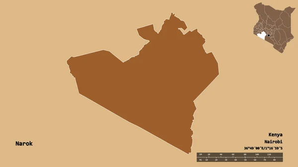
Shape of Narok, county of Kenya, with its capital isolated on solid background. Distance scale, region preview and labels. Composition of patterned textures. 3D rendering
Shape Narok County Kenya Its Capital Isolated Solid Background Distance — Stock Photo, Image
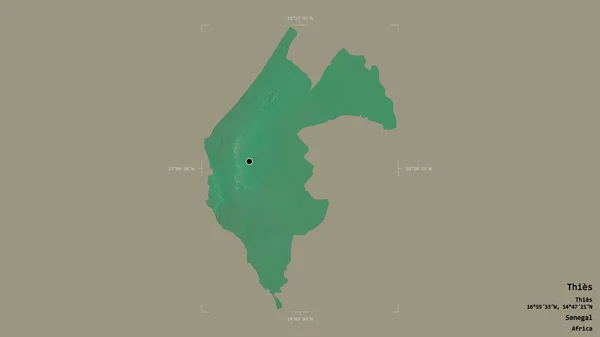
Area of Thies, region of Senegal, isolated on a solid background in a georeferenced bounding box. Labels. Topographic relief map. 3D rendering
Area Thies Region Senegal Isolated Solid Background Georeferenced Bounding Box — Stock Photo, Image
Shape of Dhi-Qar, province of Iraq, and its capital. Distance scale, previews and labels. Composition of patterned textures. 3D rendering
Shape Dhi Qar Province Iraq Its Capital Distance Scale Previews — Stock Photo, Image
Shape of Demir Kapija, municipality of Macedonia, and its capital. Distance scale, previews and labels. Composition of regularly patterned textures. 3D rendering
Shape Demir Kapija Municipality Macedonia Its Capital Distance Scale Previews — Stock Photo, Image
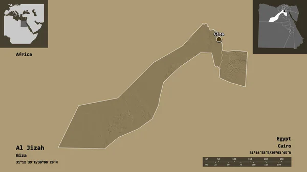
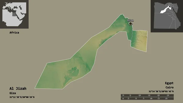
Shape of Al Jizah, governorate of Egypt, and its capital. Distance scale, previews and labels. Colored elevation map. 3D rendering
Shape Jizah Governorate Egypt Its Capital Distance Scale Previews Labels — Stock Photo, Image
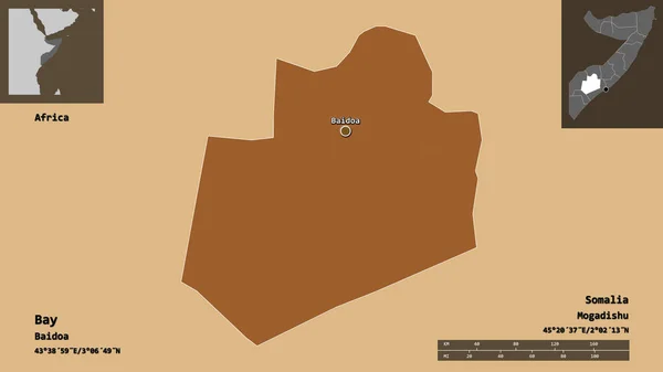
Shape of Bay, region of Somalia, and its capital. Distance scale, previews and labels. Composition of patterned textures. 3D rendering
Shape Bay Region Somalia Its Capital Distance Scale Previews Labels — Stock Photo, Image
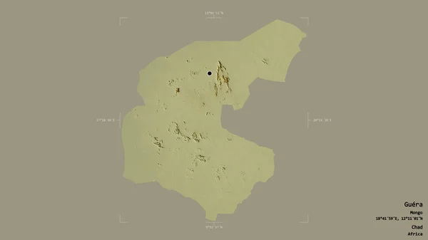
Area of Guera, region of Chad, isolated on a solid background in a georeferenced bounding box. Labels. Topographic relief map. 3D rendering
Area Guera Region Chad Isolated Solid Background Georeferenced Bounding Box — Stock Photo, Image
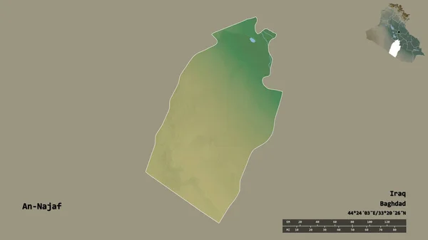
Shape of An-Najaf, province of Iraq, with its capital isolated on solid background. Distance scale, region preview and labels. Topographic relief map. 3D rendering
Shape Najaf Province Iraq Its Capital Isolated Solid Background Distance — Stock Photo, Image
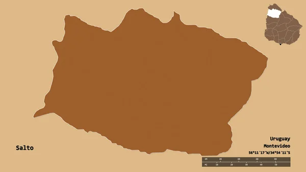
Shape of Salto, department of Uruguay, with its capital isolated on solid background. Distance scale, region preview and labels. Composition of patterned textures. 3D rendering
Shape Salto Department Uruguay Its Capital Isolated Solid Background Distance — Stock Photo, Image
Shape of Marsabit, county of Kenya, with its capital isolated on solid background. Distance scale, region preview and labels. Satellite imagery. 3D rendering
Shape Marsabit County Kenya Its Capital Isolated Solid Background Distance — Stock Photo, Image
Qom, province of Iran. Sentinel-2 satellite imagery. Shape isolated on solid background with informative overlays. Contains modified Copernicus Sentinel data
Qom Province Iran Sentinel Satellite Imagery Shape Isolated Solid Background — Stock Photo, Image
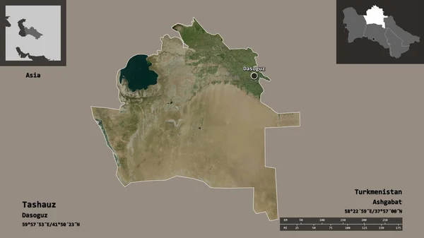
Shape of Tashauz, province of Turkmenistan, and its capital. Distance scale, previews and labels. Satellite imagery. 3D rendering
Shape Tashauz Province Turkmenistan Its Capital Distance Scale Previews Labels — Stock Photo, Image
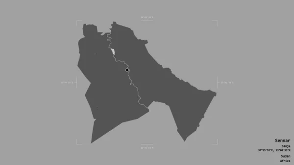
Area of Sennar, state of Sudan, isolated on a solid background in a georeferenced bounding box. Labels. Bilevel elevation map. 3D rendering
Area Sennar State Sudan Isolated Solid Background Georeferenced Bounding Box — Stock Photo, Image
Shape of Hodh el Gharbi, region of Mauritania, and its capital. Distance scale, previews and labels. Topographic relief map. 3D rendering
Shape Hodh Gharbi Region Mauritania Its Capital Distance Scale Previews — Stock Photo, Image
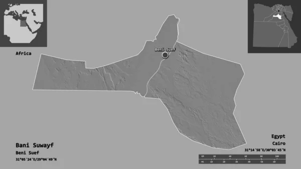
Shape of Bani Suwayf, governorate of Egypt, and its capital. Distance scale, previews and labels. Bilevel elevation map. 3D rendering
Shape Bani Suwayf Governorate Egypt Its Capital Distance Scale Previews — Stock Photo, Image
Shape of Awdal, region of Somalia, and its capital. Distance scale, previews and labels. Satellite imagery. 3D rendering
Shape Awdal Region Somalia Its Capital Distance Scale Previews Labels — Stock Photo, Image
Shape of Al Jizah, governorate of Egypt, and its capital. Distance scale, previews and labels. Topographic relief map. 3D rendering
Shape Jizah Governorate Egypt Its Capital Distance Scale Previews Labels — Stock Photo, Image
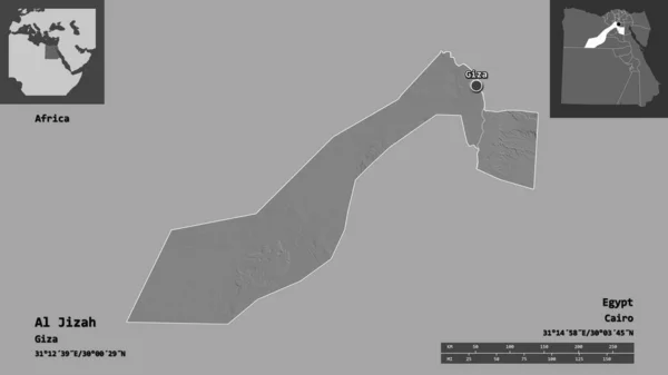
Shape of Al Jizah, governorate of Egypt, and its capital. Distance scale, previews and labels. Bilevel elevation map. 3D rendering
Shape Jizah Governorate Egypt Its Capital Distance Scale Previews Labels — Stock Photo, Image
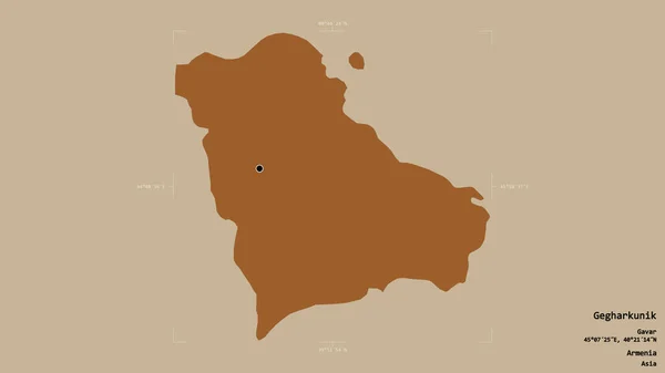
Area of Gegharkunik, province of Armenia, isolated on a solid background in a georeferenced bounding box. Labels. Composition of patterned textures. 3D rendering
Area Gegharkunik Province Armenia Isolated Solid Background Georeferenced Bounding Box — Stock Photo, Image
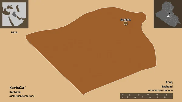
Shape of Karbala', province of Iraq, and its capital. Distance scale, previews and labels. Composition of patterned textures. 3D rendering
Shape Karbala Province Iraq Its Capital Distance Scale Previews Labels — Stock Photo, Image
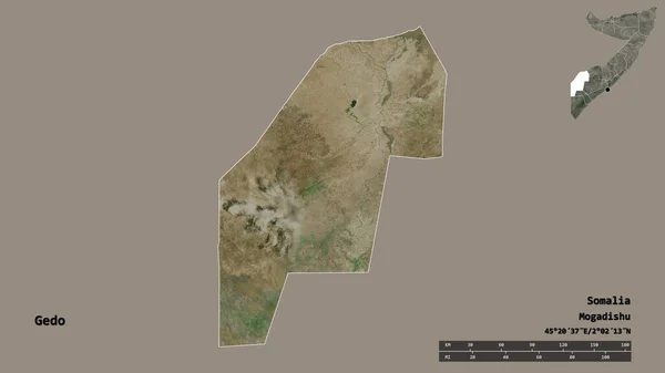
Shape of Gedo, region of Somalia, with its capital isolated on solid background. Distance scale, region preview and labels. Satellite imagery. 3D rendering
Shape Gedo Region Somalia Its Capital Isolated Solid Background Distance — Stock Photo, Image
Shape of Babil, province of Iraq, with its capital isolated on solid background. Distance scale, region preview and labels. Topographic relief map. 3D rendering
Shape Babil Province Iraq Its Capital Isolated Solid Background Distance — Stock Photo, Image
Shape of Al Bahr al Ahmar, governorate of Egypt, and its capital. Distance scale, previews and labels. Topographic relief map. 3D rendering
Shape Bahr Ahmar Governorate Egypt Its Capital Distance Scale Previews — Stock Photo, Image
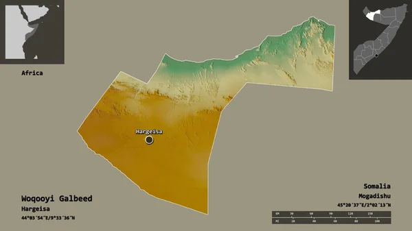
Shape of Woqooyi Galbeed, region of Somalia, and its capital. Distance scale, previews and labels. Topographic relief map. 3D rendering
Shape Woqooyi Galbeed Region Somalia Its Capital Distance Scale Previews — Stock Photo, Image
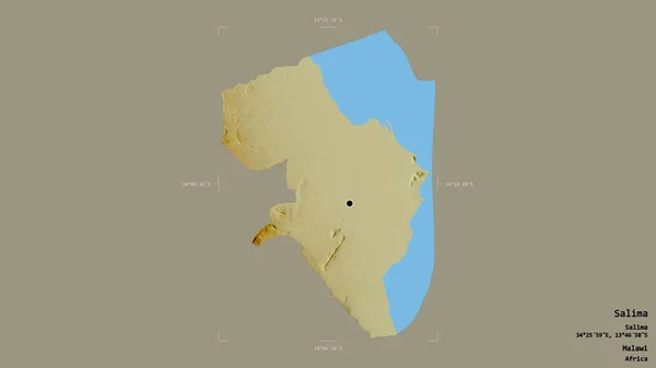
Area of Salima, district of Malawi, isolated on a solid background in a georeferenced bounding box. Labels. Topographic relief map. 3D rendering
Area Salima District Malawi Isolated Solid Background Georeferenced Bounding Box — Stock Photo, Image
Shape of Al Mahwit, governorate of Yemen, and its capital. Distance scale, previews and labels. Composition of patterned textures. 3D rendering
Shape Mahwit Governorate Yemen Its Capital Distance Scale Previews Labels — Stock Photo, Image
Desaturated shape of Oman with its capital, main regional division and the separated Al Dhahira area. Labels. Composition of regularly patterned textures. 3D rendering
Desaturated Shape Oman Its Capital Main Regional Division Separated Dhahira — Stock Photo, Image
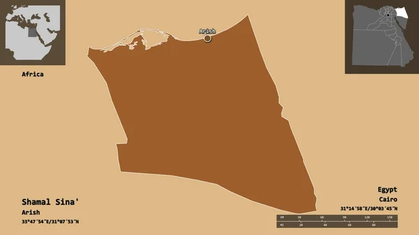
Shape of Shamal Sina', governorate of Egypt, and its capital. Distance scale, previews and labels. Composition of patterned textures. 3D rendering
Shape Shamal Sina Governorate Egypt Its Capital Distance Scale Previews — Stock Photo, Image
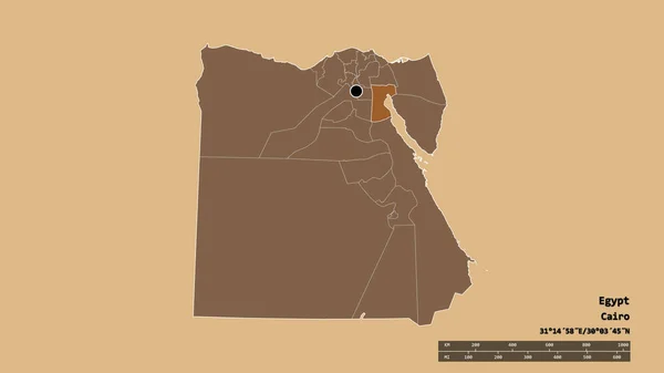
Desaturated shape of Egypt with its capital, main regional division and the separated As Suways area. Labels. Composition of patterned textures. 3D rendering
Desaturated Shape Egypt Its Capital Main Regional Division Separated Suways — Stock Photo, Image
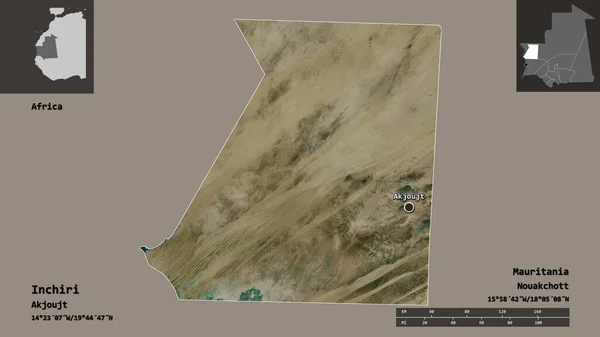
Shape of Inchiri, region of Mauritania, and its capital. Distance scale, previews and labels. Satellite imagery. 3D rendering
Shape Inchiri Region Mauritania Its Capital Distance Scale Previews Labels — Stock Photo, Image
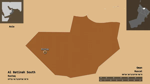
Shape of Al Batinah South, region of Oman, and its capital. Distance scale, previews and labels. Composition of regularly patterned textures. 3D rendering
Shape Batinah South Region Oman Its Capital Distance Scale Previews — Stock Photo, Image
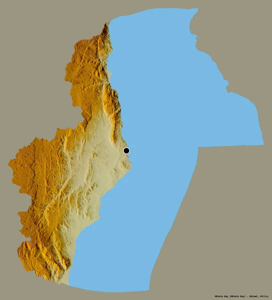
Shape of Nkhata Bay, district of Malawi, with its capital isolated on a solid color background. Topographic relief map. 3D rendering
Shape Nkhata Bay District Malawi Its Capital Isolated Solid Color — Stock Photo, Image
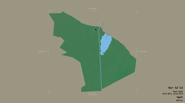
Area of Bur Sa'id, governorate of Egypt, isolated on a solid background in a georeferenced bounding box. Labels. Topographic relief map. 3D rendering
Area Bur Governorate Egypt Isolated Solid Background Georeferenced Bounding Box — Stock Photo, Image
Shape of Ica, region of Peru, with its capital isolated on solid background. Distance scale, region preview and labels. Composition of regularly patterned textures. 3D rendering
Shape Ica Region Peru Its Capital Isolated Solid Background Distance — Stock Photo, Image
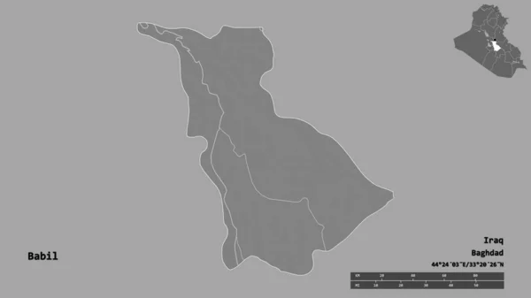
Shape of Babil, province of Iraq, with its capital isolated on solid background. Distance scale, region preview and labels. Bilevel elevation map. 3D rendering
Shape Babil Province Iraq Its Capital Isolated Solid Background Distance — Stock Photo, Image
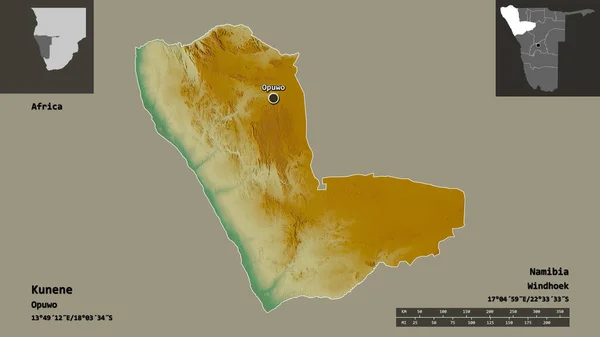
Shape of Kunene, region of Namibia, and its capital. Distance scale, previews and labels. Topographic relief map. 3D rendering
Shape Kunene Region Namibia Its Capital Distance Scale Previews Labels — Stock Photo, Image
Area of An-Najaf, province of Iraq, isolated on a solid background in a georeferenced bounding box. Labels. Colored elevation map. 3D rendering
Area Najaf Province Iraq Isolated Solid Background Georeferenced Bounding Box — Stock Photo, Image
Desaturated shape of Jordan with its capital, main regional division and the separated Ajlun area. Labels. Composition of patterned textures. 3D rendering
Desaturated Shape Jordan Its Capital Main Regional Division Separated Ajlun — Stock Photo, Image
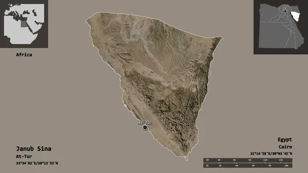
Shape of Janub Sina, governorate of Egypt, and its capital. Distance scale, previews and labels. Satellite imagery. 3D rendering
Shape Janub Sina Governorate Egypt Its Capital Distance Scale Previews — Stock Photo, Image
Shape of Amman, province of Jordan, and its capital. Distance scale, previews and labels. Topographic relief map. 3D rendering
Shape Amman Province Jordan Its Capital Distance Scale Previews Labels — Stock Photo, Image
Shape of East Darfur, state of Sudan, and its capital. Distance scale, previews and labels. Composition of patterned textures. 3D rendering
Shape East Darfur State Sudan Its Capital Distance Scale Previews — Stock Photo, Image
Ninawa, province of Iraq. Sentinel-2 satellite imagery. Shape isolated on solid background with informative overlays. Contains modified Copernicus Sentinel data
Ninawa Province Iraq Sentinel Satellite Imagery Shape Isolated Solid Background — Stock Photo, Image
Shape of Muscat, province of Oman, with its capital isolated on solid background. Distance scale, region preview and labels. Composition of regularly patterned textures. 3D rendering
Shape Muscat Province Oman Its Capital Isolated Solid Background Distance — Stock Photo, Image
Desaturated shape of Oman with its capital, main regional division and the separated Ad Dakhliyah area. Labels. Composition of regularly patterned textures. 3D rendering
Desaturated Shape Oman Its Capital Main Regional Division Separated Dakhliyah — Stock Photo, Image
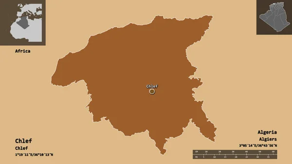
Shape of Chlef, province of Algeria, and its capital. Distance scale, previews and labels. Composition of patterned textures. 3D rendering
Shape Chlef Province Algeria Its Capital Distance Scale Previews Labels — Stock Photo, Image
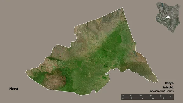
Shape of Meru, county of Kenya, with its capital isolated on solid background. Distance scale, region preview and labels. Satellite imagery. 3D rendering
Shape Meru County Kenya Its Capital Isolated Solid Background Distance — Stock Photo, Image
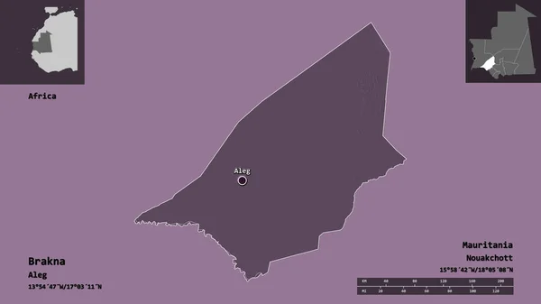
Shape of Brakna, region of Mauritania, and its capital. Distance scale, previews and labels. Colored elevation map. 3D rendering
Shape Brakna Region Mauritania Its Capital Distance Scale Previews Labels — Stock Photo, Image
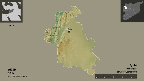
Shape of Idlib, province of Syria, and its capital. Distance scale, previews and labels. Topographic relief map. 3D rendering
Shape Idlib Province Syria Its Capital Distance Scale Previews Labels — Stock Photo, Image
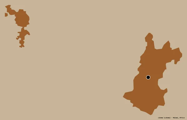
Shape of Likoma, district of Malawi, with its capital isolated on a solid color background. Composition of patterned textures. 3D rendering
Shape Likoma District Malawi Its Capital Isolated Solid Color Background — Stock Photo, Image
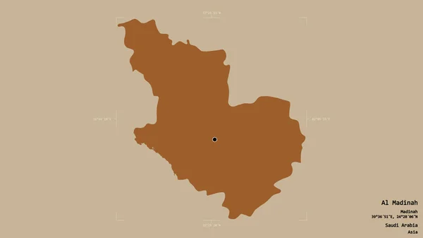
Area of Al Madinah, region of Saudi Arabia, isolated on a solid background in a georeferenced bounding box. Labels. Composition of patterned textures. 3D rendering
Area Madinah Region Saudi Arabia Isolated Solid Background Georeferenced Bounding — Stock Photo, Image
Shape of Al Wusta, region of Oman, and its capital. Distance scale, previews and labels. Satellite imagery. 3D rendering
Shape Wusta Region Oman Its Capital Distance Scale Previews Labels — Stock Photo, Image
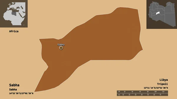
Shape of Sabha, district of Libya, and its capital. Distance scale, previews and labels. Composition of patterned textures. 3D rendering
Shape Sabha District Libya Its Capital Distance Scale Previews Labels — Stock Photo, Image
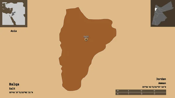
Shape of Balqa, province of Jordan, and its capital. Distance scale, previews and labels. Composition of patterned textures. 3D rendering
Shape Balqa Province Jordan Its Capital Distance Scale Previews Labels — Stock Photo, Image
Shape of Semnan, province of Iran, and its capital. Distance scale, previews and labels. Satellite imagery. 3D rendering
Shape Semnan Province Iran Its Capital Distance Scale Previews Labels — Stock Photo, Image
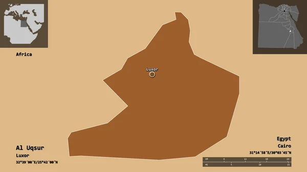
Shape of Al Uqsur, governorate of Egypt, and its capital. Distance scale, previews and labels. Composition of patterned textures. 3D rendering
Shape Uqsur Governorate Egypt Its Capital Distance Scale Previews Labels — Stock Photo, Image
Desaturated shape of Jordan with its capital, main regional division and the separated Madaba area. Labels. Composition of patterned textures. 3D rendering
Desaturated Shape Jordan Its Capital Main Regional Division Separated Madaba — Stock Photo, Image
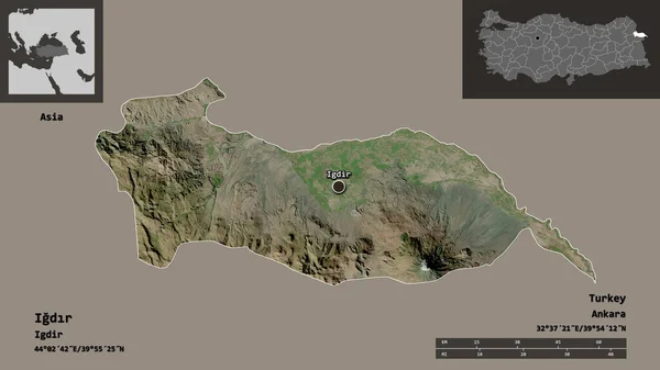
Shape of Igdr, province of Turkey, and its capital. Distance scale, previews and labels. Satellite imagery. 3D rendering
Shape Igdr Province Turkey Its Capital Distance Scale Previews Labels — Stock Photo, Image
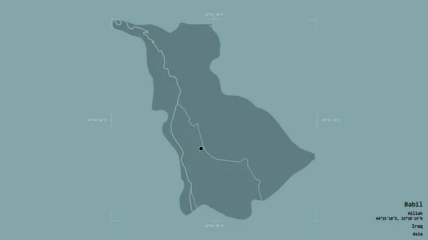
Area of Babil, province of Iraq, isolated on a solid background in a georeferenced bounding box. Labels. Colored elevation map. 3D rendering
Area Babil Province Iraq Isolated Solid Background Georeferenced Bounding Box — Stock Photo, Image
Shape of Qina, governorate of Egypt, and its capital. Distance scale, previews and labels. Bilevel elevation map. 3D rendering
Shape Qina Governorate Egypt Its Capital Distance Scale Previews Labels — Stock Photo, Image
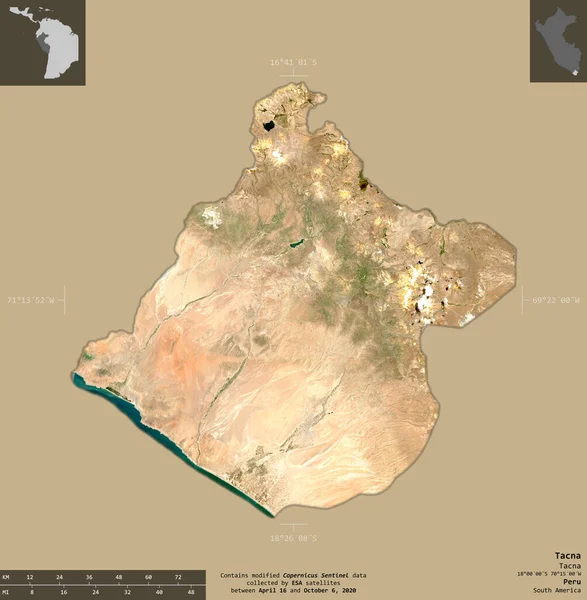
Tacna, region of Peru. Sentinel-2 satellite imagery. Shape isolated on solid background with informative overlays. Contains modified Copernicus Sentinel data
Tacna Region Peru Sentinel Satellite Imagery Shape Isolated Solid Background — Stock Photo, Image
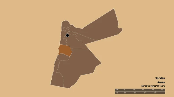
Desaturated shape of Jordan with its capital, main regional division and the separated Karak area. Labels. Composition of patterned textures. 3D rendering
Desaturated Shape Jordan Its Capital Main Regional Division Separated Karak — Stock Photo, Image
Area of Monsenor Nouel, province of Dominican Republic, isolated on a solid background in a georeferenced bounding box. Labels. Colored elevation map. 3D rendering
Area Monsenor Nouel Province Dominican Republic Isolated Solid Background Georeferenced — Stock Photo, Image
Shape of Khartoum, state of Sudan, with its capital isolated on a solid color background. Bilevel elevation map. 3D rendering
Shape Khartoum State Sudan Its Capital Isolated Solid Color Background — Stock Photo, Image
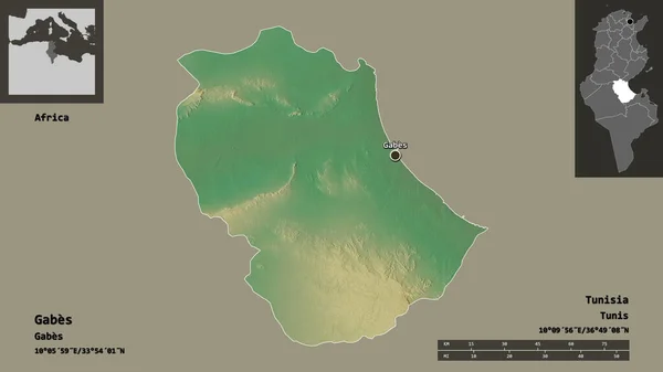
Shape of Gabes, governorate of Tunisia, and its capital. Distance scale, previews and labels. Topographic relief map. 3D rendering
Shape Gabes Governorate Tunisia Its Capital Distance Scale Previews Labels — Stock Photo, Image
Area of Al Hasakah, province of Syria, isolated on a solid background in a georeferenced bounding box. Labels. Composition of patterned textures. 3D rendering
Area Hasakah Province Syria Isolated Solid Background Georeferenced Bounding Box — Stock Photo, Image
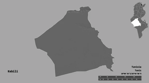
Shape of Kebili, governorate of Tunisia, with its capital isolated on solid background. Distance scale, region preview and labels. Bilevel elevation map. 3D rendering
Shape Kebili Governorate Tunisia Its Capital Isolated Solid Background Distance — Stock Photo, Image
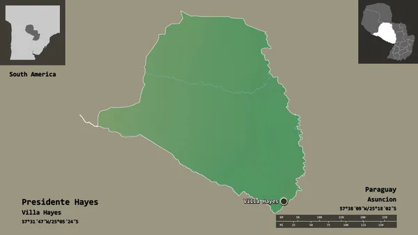
Shape of Presidente Hayes, department of Paraguay, and its capital. Distance scale, previews and labels. Topographic relief map. 3D rendering
Shape Presidente Hayes Department Paraguay Its Capital Distance Scale Previews — Stock Photo, Image
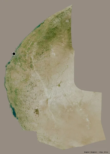
Shape of Benghazi, district of Libya, with its capital isolated on a solid color background. Satellite imagery. 3D rendering
Shape Benghazi District Libya Its Capital Isolated Solid Color Background — Stock Photo, Image
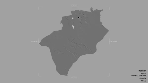
Area of Bechar, province of Algeria, isolated on a solid background in a georeferenced bounding box. Labels. Bilevel elevation map. 3D rendering
Area Bechar Province Algeria Isolated Solid Background Georeferenced Bounding Box — Stock Photo, Image
Shape of Banjul, independent city of Gambia, and its capital. Distance scale, previews and labels. Composition of patterned textures. 3D rendering
Shape Banjul Independent City Gambia Its Capital Distance Scale Previews — Stock Photo, Image
Shape of Al Iskandariyah, governorate of Egypt, and its capital. Distance scale, previews and labels. Topographic relief map. 3D rendering
Shape Iskandariyah Governorate Egypt Its Capital Distance Scale Previews Labels — Stock Photo, Image
Shape of Al Bahr al Ahmar, governorate of Egypt, and its capital. Distance scale, previews and labels. Satellite imagery. 3D rendering
Shape Bahr Ahmar Governorate Egypt Its Capital Distance Scale Previews — Stock Photo, Image

Related image searches

Discover Stunning Sinai Peninsula Images for Your Next Project

Are you searching for captivating visuals to enhance your creative projects? Look no further! Our extensive collection of stock images offers a wide range of breathtaking Sinai Peninsula images that are sure to meet your specific needs. Whether you're working on a website, brochure, or presentation, our professional-grade photographs and illustrations are perfectly suited for various purposes and can effortlessly elevate the visual appeal of your projects.

High-Quality Stock Images for Every Project

Our collection includes an array of high-quality JPG, AI, and EPS file formats, ensuring compatibility with various design software and platforms. From stunning landscapes to iconic landmarks, our Sinai Peninsula images capture the essence of this beautiful region with remarkable detail and clarity. Whether you're looking for images showcasing the crystal clear waters of the Red Sea or the majestic Mount Sinai, we have an extensive selection that will meet your requirements.

Our images are perfect for a variety of projects, both online and offline. If you're designing a travel website, consider using our Sinai Peninsula images to entice visitors with the region's natural beauty and rich cultural heritage. For marketing materials related to tourism in the area, our visuals can effectively showcase the diverse attractions and experiences available. Additionally, our stock images can also be used for educational purposes, providing students and researchers with informative visuals to enhance their understanding of the Sinai Peninsula and its significance in history and geography.

The Importance of Choosing the Right Visuals

When it comes to visual communication, choosing the right images is essential for effectively conveying your message. The Sinai Peninsula images we offer are not only visually striking but also convey a sense of authenticity and professionalism. By incorporating these visuals into your projects, you can enhance the overall impact and engage your audience on a deeper level.

When selecting images, consider the tone and style of your project. If you're working on a luxury travel brochure, opt for images that exude elegance and sophistication, showcasing the region's high-end resorts and pristine beaches. On the other hand, if you're creating an educational presentation, choose visuals that highlight the historical significance and cultural heritage of the Sinai Peninsula, such as ancient ruins or religious sites. Remember, the right image can captivate your audience and make a lasting impression.

Practical Tips for Utilizing Sinai Peninsula Images

Here are some practical tips to help you make the most of our Sinai Peninsula visuals:

  • Ensure that the image resolution matches your specific requirements. High-resolution images are recommended for print materials, while web graphics can utilize lower-resolution images to optimize load times.
  • Consider the aspect ratio and orientation of the images to ensure a seamless integration into your design. Landscape images work well for website banners and brochure covers, while portrait images are ideal for social media posts or vertical layouts.
  • Experiment with different filters and effects to enhance the visual impact of the images, while ensuring they align with your project's overall style and branding.
  • Combine multiple images to create visually engaging collages or slideshows that tell a captivating story about the Sinai Peninsula.
  • Don't forget to appropriately credit the source of the images if required, acknowledging the value and creativity of the photographers or illustrators behind them.

By following these tips, you can effectively utilize our Sinai Peninsula images to create visually stunning projects that leave a lasting impression on your audience.

Unlock the true visual potential of your next project by exploring our vast collection of Sinai Peninsula images. With their exceptional quality and versatility, these visuals are guaranteed to take your designs to new heights, whether you're working on a website, promotional materials, or educational resources. Start exploring now and let the natural beauty and cultural richness of the Sinai Peninsula inspire your creativity!