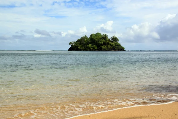
Island
Island — Stock Photo, Image
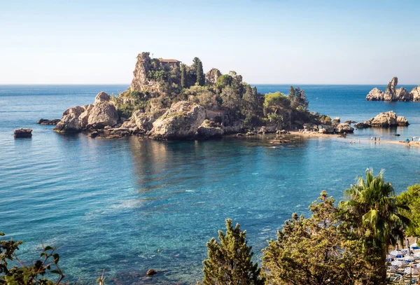
Panoramic view of Isola Bella (Beautiful island): small island n
Panoramic view of Isola Bella (Beautiful island): small island n — Stock Photo, Image
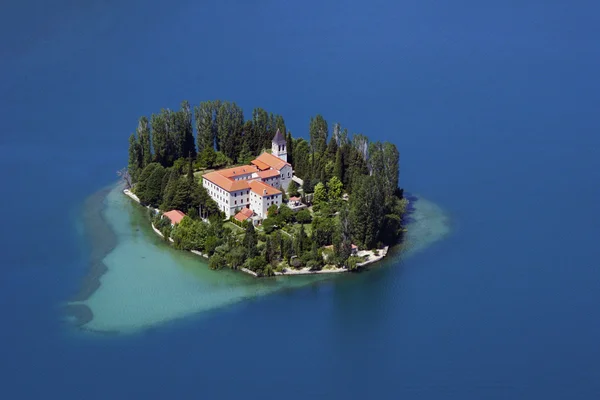
Visovac, island and Christian monastery on river Krka, Croatia
Visovac, island and Christian monastery on river Krka, Croatia — Stock Photo, Image
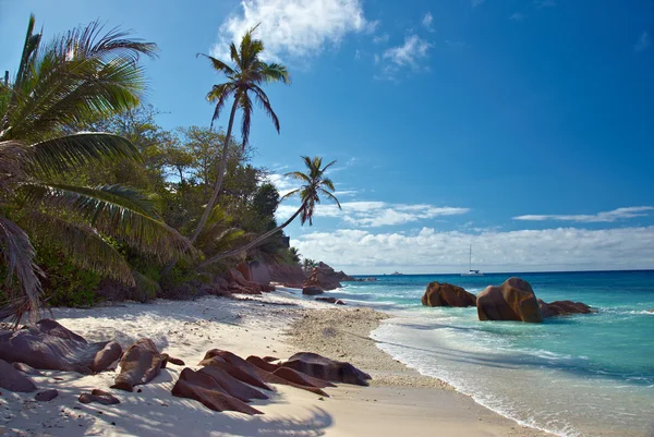
Seychelles
Seychelles — Stock Photo, Image
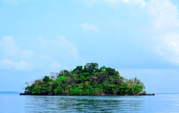
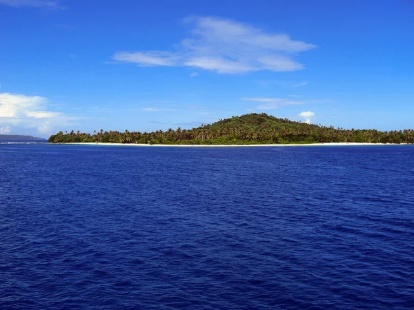
Small island and blue sky
Small island and blue sky — Stock Photo, Image
Island
Island — Stock Photo, Image
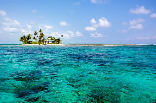
Tropical and paradise small island in the caribbean sea of Belize- Central America
Tropical Paradise Small Island Caribbean Sea Belize Central America — Stock Photo, Image
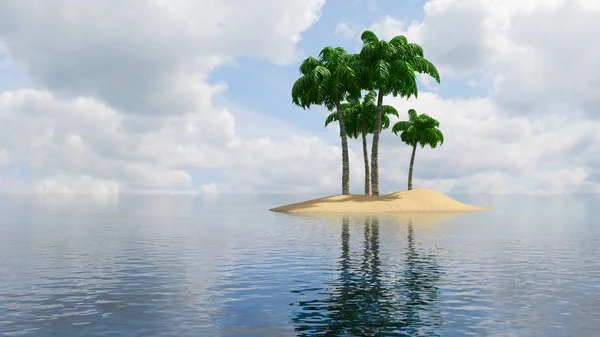
Tropical Islands 3D
Tropical Islands 3D — Stock Photo, Image
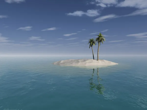
Desert island
Desert island — Stock Photo, Image
Caribbean Island Landscape
Caribbean Island Landscape — Stock Photo, Image
Area of Kalasin, province of Thailand, isolated on a solid background in a georeferenced bounding box. Labels. Colored elevation map. 3D rendering
Area Kalasin Province Thailand Isolated Solid Background Georeferenced Bounding Box — Stock Photo, Image
Area of Guantanamo, province of Cuba, isolated on a solid background in a georeferenced bounding box. Labels. Topographic relief map. 3D rendering
Area Guantanamo Province Cuba Isolated Solid Background Georeferenced Bounding Box — Stock Photo, Image
Shape of odz, voivodeship of Poland, with its capital isolated on a solid color background. Colored elevation map. 3D rendering
Shape Odz Voivodeship Poland Its Capital Isolated Solid Color Background — Stock Photo, Image
Area of Taranaki, regional council of New Zealand, isolated on a solid background in a georeferenced bounding box. Labels. Colored elevation map. 3D rendering
Area Taranaki Regional Council New Zealand Isolated Solid Background Georeferenced — Stock Photo, Image
Ock island with stone and some small green trees
Ock island with stone and some small green trees — Stock Photo, Image
Area of Biombo, region of Guinea-Bissau, isolated on a solid background in a georeferenced bounding box. Labels. Colored elevation map. 3D rendering
Area Biombo Region Guinea Bissau Isolated Solid Background Georeferenced Bounding — Stock Photo, Image
Area of Sukhothai, province of Thailand, isolated on a solid background in a georeferenced bounding box. Labels. Colored elevation map. 3D rendering
Area Sukhothai Province Thailand Isolated Solid Background Georeferenced Bounding Box — Stock Photo, Image
Area of Sucumbios, province of Ecuador, isolated on a solid background in a georeferenced bounding box. Labels. Colored elevation map. 3D rendering
Area Sucumbios Province Ecuador Isolated Solid Background Georeferenced Bounding Box — Stock Photo, Image
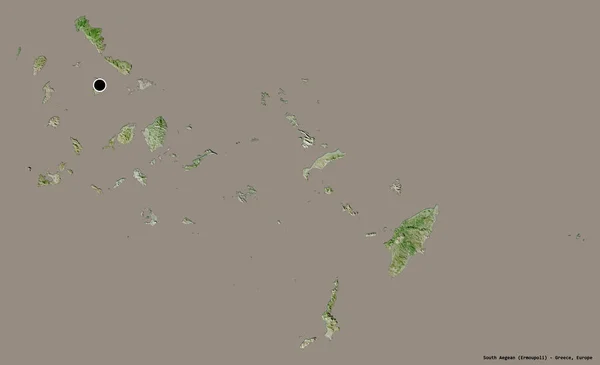
Shape of South Aegean, decentralized administration of Greece, with its capital isolated on a solid color background. Satellite imagery. 3D rendering
Shape South Aegean Decentralized Administration Greece Its Capital Isolated Solid — Stock Photo, Image
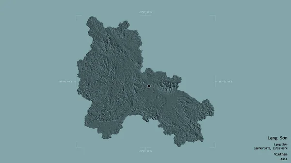
Area of Lang Son, province of Vietnam, isolated on a solid background in a georeferenced bounding box. Labels. Colored elevation map. 3D rendering
Area Lang Son Province Vietnam Isolated Solid Background Georeferenced Bounding — Stock Photo, Image
Area of An-Najaf, province of Iraq, isolated on a solid background in a georeferenced bounding box. Labels. Colored elevation map. 3D rendering
Area Najaf Province Iraq Isolated Solid Background Georeferenced Bounding Box — Stock Photo, Image
Area of Iasi, county of Romania, isolated on a solid background in a georeferenced bounding box. Labels. Colored elevation map. 3D rendering
Area Iasi County Romania Isolated Solid Background Georeferenced Bounding Box — Stock Photo, Image
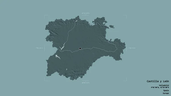
Area of Castilla y Leon, autonomous community of Spain, isolated on a solid background in a georeferenced bounding box. Labels. Colored elevation map. 3D rendering
Area Castilla Leon Autonomous Community Spain Isolated Solid Background Georeferenced — Stock Photo, Image
Shape of Entre Rios, province of Argentina, with its capital isolated on a solid color background. Bilevel elevation map. 3D rendering
Shape Entre Rios Province Argentina Its Capital Isolated Solid Color — Stock Photo, Image
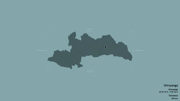
Area of Shinyanga, region of Tanzania, isolated on a solid background in a georeferenced bounding box. Labels. Colored elevation map. 3D rendering
Area Shinyanga Region Tanzania Isolated Solid Background Georeferenced Bounding Box — Stock Photo, Image
Vector map Malta. Isolated vector Illustration. Black on White background. EPS 10 Illustration.
Vector Map Malta Isolated Vector Illustration Black White Background Eps — Stock Photo, Image
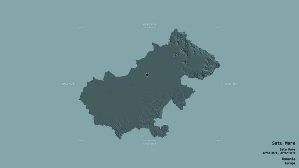
Area of Satu Mare, county of Romania, isolated on a solid background in a georeferenced bounding box. Labels. Colored elevation map. 3D rendering
Area Satu Mare County Romania Isolated Solid Background Georeferenced Bounding — Stock Photo, Image
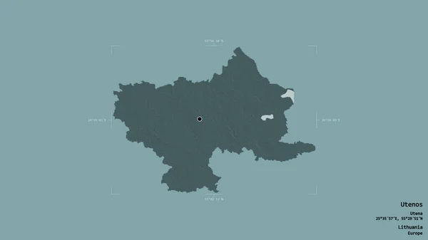
Area of Utenos, county of Lithuania, isolated on a solid background in a georeferenced bounding box. Labels. Colored elevation map. 3D rendering
Area Utenos County Lithuania Isolated Solid Background Georeferenced Bounding Box — Stock Photo, Image
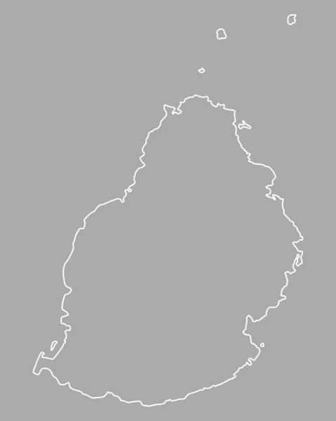
Map of Mauritius, geographical map
Map Mauritius Geographical Map — Stock Photo, Image
Area of Amur, region of Russia, isolated on a solid background in a georeferenced bounding box. Labels. Colored elevation map. 3D rendering
Area Amur Region Russia Isolated Solid Background Georeferenced Bounding Box — Stock Photo, Image
3D map on blue water background of Greenland
3D map on blue water background of  Greenland — Stock Photo, Image
Seascape drawing with gouache or acrylic paints
Seascape Drawing Gouache Acrylic Paints — Stock Photo, Image
Desaturated shape of South Korea with its capital, main regional division and the separated Chungcheongbuk-do area. Labels. Topographic relief map. 3D rendering
Desaturated Shape South Korea Its Capital Main Regional Division Separated — Stock Photo, Image
Shape of Suurland, region of Iceland, with its capital isolated on a solid color background. Composition of patterned textures. 3D rendering
Shape Suurland Region Iceland Its Capital Isolated Solid Color Background — Stock Photo, Image
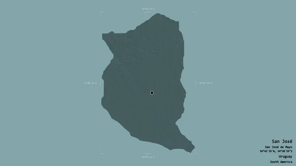
Area of San Jose, department of Uruguay, isolated on a solid background in a georeferenced bounding box. Labels. Colored elevation map. 3D rendering
Area San Jose Department Uruguay Isolated Solid Background Georeferenced Bounding — Stock Photo, Image
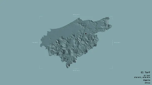
Area of El Tarf, province of Algeria, isolated on a solid background in a georeferenced bounding box. Labels. Colored elevation map. 3D rendering
Area Tarf Province Algeria Isolated Solid Background Georeferenced Bounding Box — Stock Photo, Image
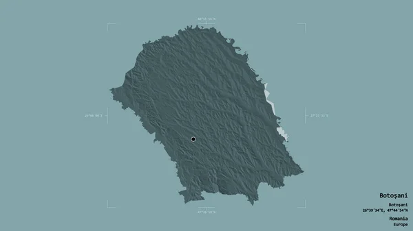
Area of Botosani, county of Romania, isolated on a solid background in a georeferenced bounding box. Labels. Colored elevation map. 3D rendering
Area Botosani County Romania Isolated Solid Background Georeferenced Bounding Box — Stock Photo, Image
Tropical sphere landscape
Tropical sphere landscape — Stock Photo, Image
Area of Rivera, department of Uruguay, isolated on a solid background in a georeferenced bounding box. Labels. Colored elevation map. 3D rendering
Area Rivera Department Uruguay Isolated Solid Background Georeferenced Bounding Box — Stock Photo, Image
Shape of Sergipe, state of Brazil, with its capital isolated on solid background. Distance scale, region preview and labels. Satellite imagery. 3D rendering
Shape Sergipe State Brazil Its Capital Isolated Solid Background Distance — Stock Photo, Image
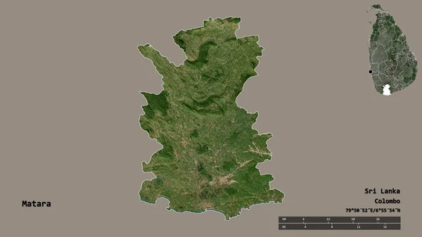
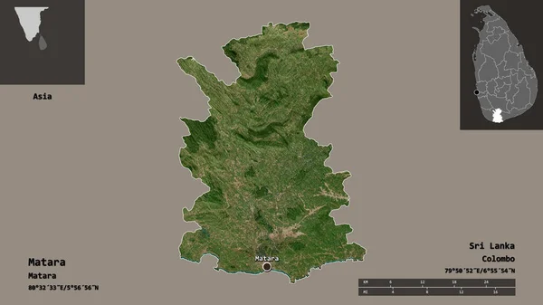
Shape of Matara, district of Sri Lanka, with its capital isolated on solid background. Distance scale, region preview and labels. Satellite imagery. 3D rendering
Shape Matara District Sri Lanka Its Capital Isolated Solid Background — Stock Photo, Image
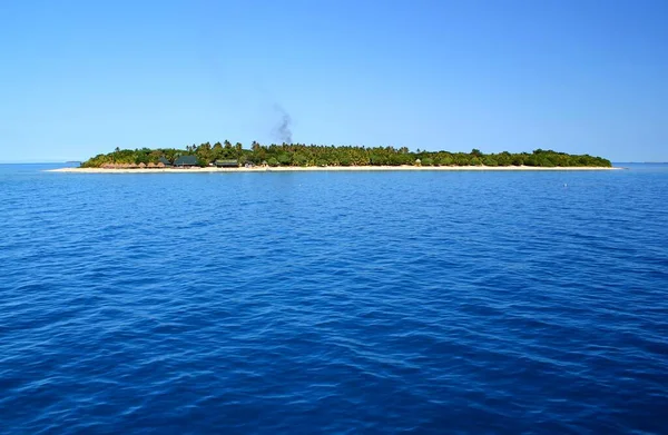
Panoramic view of Bounty Island in Fiji
Panoramic view of Bounty Island in Fiji — Stock Photo, Image
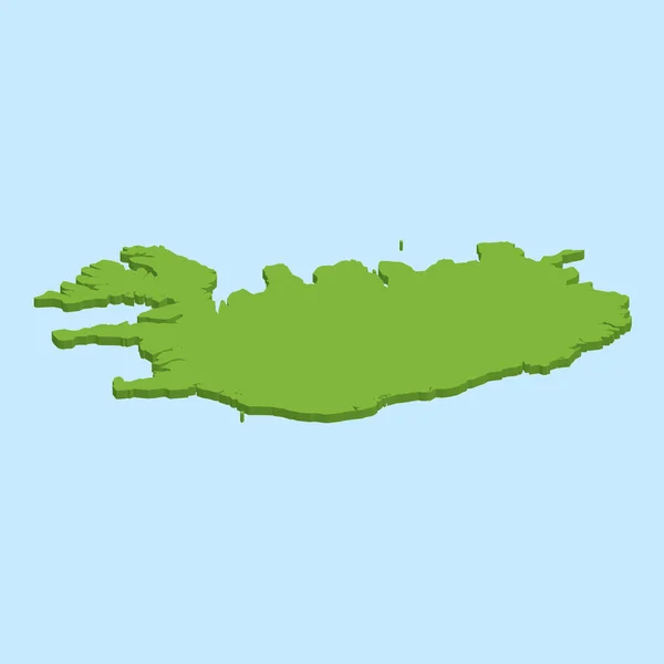
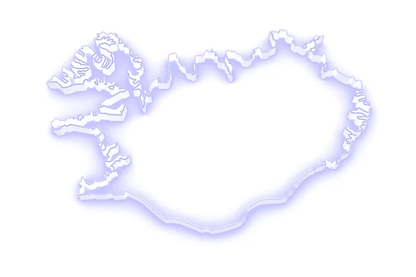
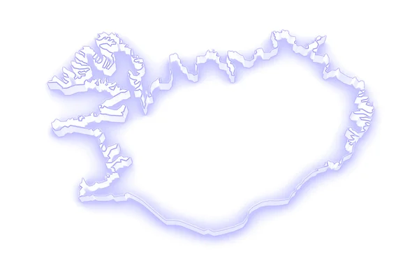
Map of Iceland.
Map of Iceland. — Stock Photo, Image
Shape of Nuwara Eliya, district of Sri Lanka, with its capital isolated on solid background. Distance scale, region preview and labels. Satellite imagery. 3D rendering
Shape Nuwara Eliya District Sri Lanka Its Capital Isolated Solid — Stock Photo, Image
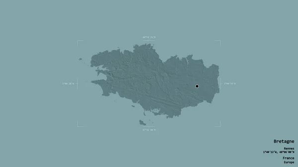
Area of Bretagne, region of France, isolated on a solid background in a georeferenced bounding box. Labels. Colored elevation map. 3D rendering
Area Bretagne Region France Isolated Solid Background Georeferenced Bounding Box — Stock Photo, Image
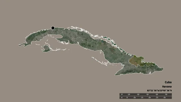
Desaturated shape of Cuba with its capital, main regional division and the separated Holguin area. Labels. Satellite imagery. 3D rendering
Desaturated Shape Cuba Its Capital Main Regional Division Separated Holguin — Stock Photo, Image
Area of Nzerekore, region of Guinea, isolated on a solid background in a georeferenced bounding box. Labels. Colored elevation map. 3D rendering
Area Nzerekore Region Guinea Isolated Solid Background Georeferenced Bounding Box — Stock Photo, Image
Beautiful tropical beach on background
Beautiful Tropical Beach Background — Stock Photo, Image
Area of Bac Ninh, province of Vietnam, isolated on a solid background in a georeferenced bounding box. Labels. Colored elevation map. 3D rendering
Area Bac Ninh Province Vietnam Isolated Solid Background Georeferenced Bounding — Stock Photo, Image
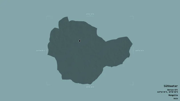
Area of Suhbaatar, province of Mongolia, isolated on a solid background in a georeferenced bounding box. Labels. Colored elevation map. 3D rendering
Area Suhbaatar Province Mongolia Isolated Solid Background Georeferenced Bounding Box — Stock Photo, Image
Shape of Matara, district of Sri Lanka, and its capital. Distance scale, previews and labels. Satellite imagery. 3D rendering
Shape Matara District Sri Lanka Its Capital Distance Scale Previews — Stock Photo, Image
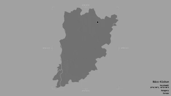
Area of Bacs-Kiskun, county of Hungary, isolated on a solid background in a georeferenced bounding box. Labels. Bilevel elevation map. 3D rendering
Area Bacs Kiskun County Hungary Isolated Solid Background Georeferenced Bounding — Stock Photo, Image
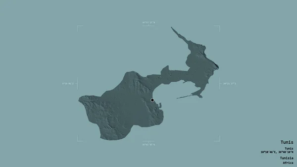
Area of Tunis, governorate of Tunisia, isolated on a solid background in a georeferenced bounding box. Labels. Colored elevation map. 3D rendering
Area Tunis Governorate Tunisia Isolated Solid Background Georeferenced Bounding Box — Stock Photo, Image
Area of Rezina, district of Moldova, isolated on a solid background in a georeferenced bounding box. Labels. Colored elevation map. 3D rendering
Area Rezina District Moldova Isolated Solid Background Georeferenced Bounding Box — Stock Photo, Image
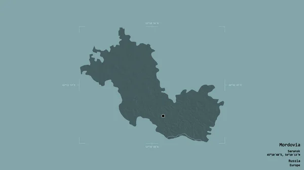
Area of Mordovia, republic of Russia, isolated on a solid background in a georeferenced bounding box. Labels. Colored elevation map. 3D rendering
Area Mordovia Republic Russia Isolated Solid Background Georeferenced Bounding Box — Stock Photo, Image
Area of Bizerte, governorate of Tunisia, isolated on a solid background in a georeferenced bounding box. Labels. Topographic relief map. 3D rendering
Area Bizerte Governorate Tunisia Isolated Solid Background Georeferenced Bounding Box — Stock Photo, Image
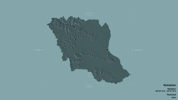
Area of Mukdahan, province of Thailand, isolated on a solid background in a georeferenced bounding box. Labels. Colored elevation map. 3D rendering
Area Mukdahan Province Thailand Isolated Solid Background Georeferenced Bounding Box — Stock Photo, Image
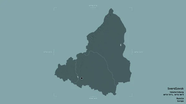
Area of Sverdlovsk, region of Russia, isolated on a solid background in a georeferenced bounding box. Labels. Colored elevation map. 3D rendering
Area Sverdlovsk Region Russia Isolated Solid Background Georeferenced Bounding Box — Stock Photo, Image
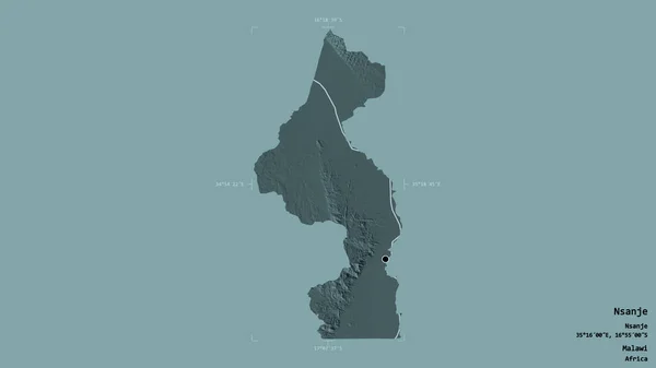
Area of Nsanje, district of Malawi, isolated on a solid background in a georeferenced bounding box. Labels. Colored elevation map. 3D rendering
Area Nsanje District Malawi Isolated Solid Background Georeferenced Bounding Box — Stock Photo, Image
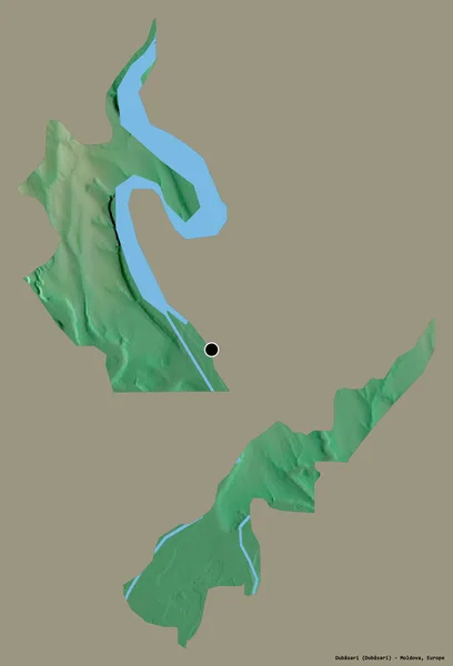
Shape of Dubasari, district of Moldova, with its capital isolated on a solid color background. Topographic relief map. 3D rendering
Shape Dubasari District Moldova Its Capital Isolated Solid Color Background — Stock Photo, Image
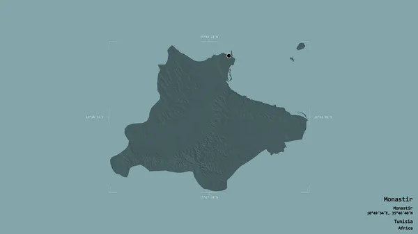
Area of Monastir, governorate of Tunisia, isolated on a solid background in a georeferenced bounding box. Labels. Colored elevation map. 3D rendering
Area Monastir Governorate Tunisia Isolated Solid Background Georeferenced Bounding Box — Stock Photo, Image
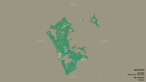
Area of Auckland, regional council of New Zealand, isolated on a solid background in a georeferenced bounding box. Labels. Topographic relief map. 3D rendering
Area Auckland Regional Council New Zealand Isolated Solid Background Georeferenced — Stock Photo, Image
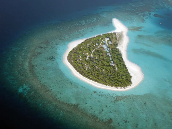
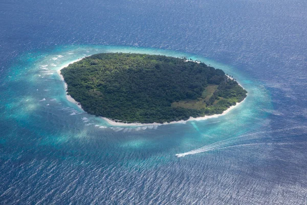
Aerial View of Island on Great Barrier Reef in Australia
Aerial View Island Great Barrier Reef Australia — Stock Photo, Image
Seascape drawing with gouache or acrylic paints
Seascape Drawing Gouache Acrylic Paints — Stock Photo, Image
Abstract creative tropical landscape oil picture
Abstract Creative Tropical Landscape Oil Picture — Stock Photo, Image
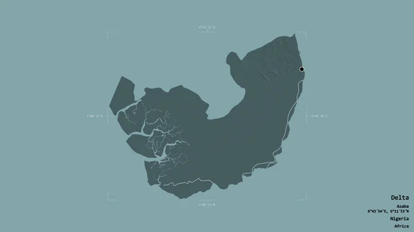
Area of Delta, state of Nigeria, isolated on a solid background in a georeferenced bounding box. Labels. Colored elevation map. 3D rendering
Area Delta State Nigeria Isolated Solid Background Georeferenced Bounding Box — Stock Photo, Image
Abstract creative tropical landscape oil picture
Abstract Creative Tropical Landscape Oil Picture — Stock Photo, Image
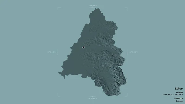
Area of Bihor, county of Romania, isolated on a solid background in a georeferenced bounding box. Labels. Colored elevation map. 3D rendering
Area Bihor County Romania Isolated Solid Background Georeferenced Bounding Box — Stock Photo, Image
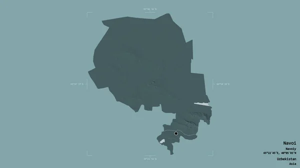
Area of Navoi, region of Uzbekistan, isolated on a solid background in a georeferenced bounding box. Labels. Colored elevation map. 3D rendering
Area Navoi Region Uzbekistan Isolated Solid Background Georeferenced Bounding Box — Stock Photo, Image
View over the majestic island Samar on the Philippines January 19, 2012
View Majestic Island Samar Philippines January 2012 — Stock Photo, Image
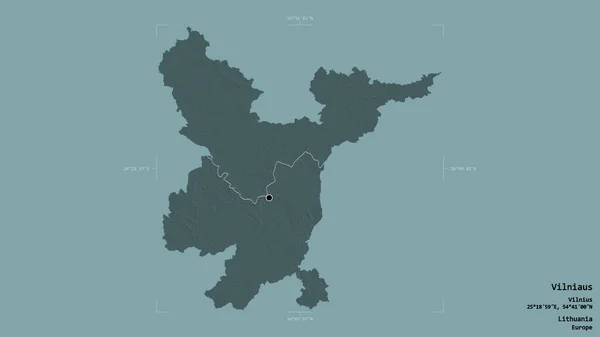
Area of Vilniaus, county of Lithuania, isolated on a solid background in a georeferenced bounding box. Labels. Colored elevation map. 3D rendering
Area Vilniaus County Lithuania Isolated Solid Background Georeferenced Bounding Box — Stock Photo, Image
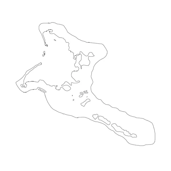
Map Kiribati. Isolated Illustration. Black on White background.
Map Kiribati Isolated Illustration Black White Background — Stock Photo, Image
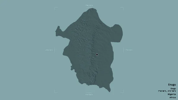
Area of Enugu, state of Nigeria, isolated on a solid background in a georeferenced bounding box. Labels. Colored elevation map. 3D rendering
Area Enugu State Nigeria Isolated Solid Background Georeferenced Bounding Box — Stock Photo, Image
Area of Omsk, region of Russia, isolated on a solid background in a georeferenced bounding box. Labels. Topographic relief map. 3D rendering
Area Omsk Region Russia Isolated Solid Background Georeferenced Bounding Box — Stock Photo, Image
Abstract creative tropical landscape oil picture
Abstract Creative Tropical Landscape Oil Picture — Stock Photo, Image
Small exotic tropical dream island in the middle of the pacific ocean / Bounty Island / Fiji
Small Exotic Tropical Dream Island Middle Pacific Ocean Bounty Island — Stock Photo, Image
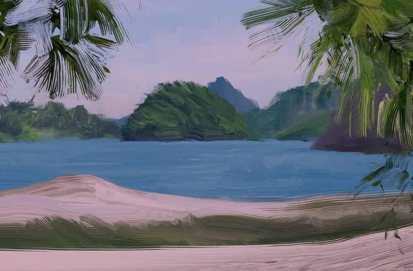
Illustration of green mountains landscape with trees and a hill in the background, a planet illustration
Illustration Green Mountains Landscape Trees Hill Background Planet Illustration — Stock Photo, Image
Map of Iceland.
Map of Iceland. — Stock Photo, Image
Area of Anambra, state of Nigeria, isolated on a solid background in a georeferenced bounding box. Labels. Colored elevation map. 3D rendering
Area Anambra State Nigeria Isolated Solid Background Georeferenced Bounding Box — Stock Photo, Image
Beautiful seascape view. nature background
Beautiful Seascape View Nature Background — Stock Photo, Image
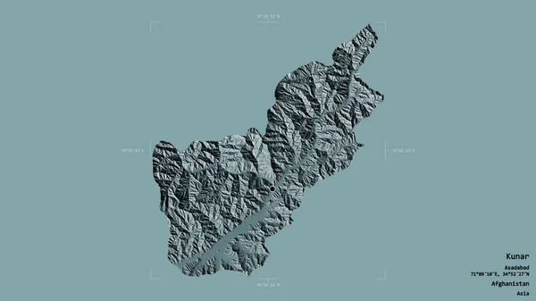
Area of Kunar, province of Afghanistan, isolated on a solid background in a georeferenced bounding box. Labels. Colored elevation map. 3D rendering
Area Kunar Province Afghanistan Isolated Solid Background Georeferenced Bounding Box — Stock Photo, Image
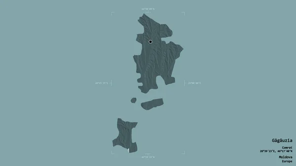
Area of Gagauzia, autonomous territory of Moldova, isolated on a solid background in a georeferenced bounding box. Labels. Colored elevation map. 3D rendering
Area Gagauzia Autonomous Territory Moldova Isolated Solid Background Georeferenced Bounding — Stock Photo, Image
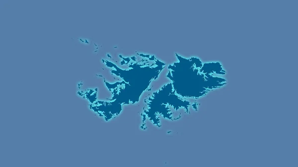
Falkland Islands area on the solid map in the stereographic projection - raw composition of raster layers with light glowing outline
Falkland Islands Area Solid Map Stereographic Projection Raw Composition Raster — Stock Photo, Image
Shape of Pomeroon-Supenaam, region of Guyana, with its capital isolated on a solid color background. Topographic relief map. 3D rendering
Shape Pomeroon Supenaam Region Guyana Its Capital Isolated Solid Color — Stock Photo, Image
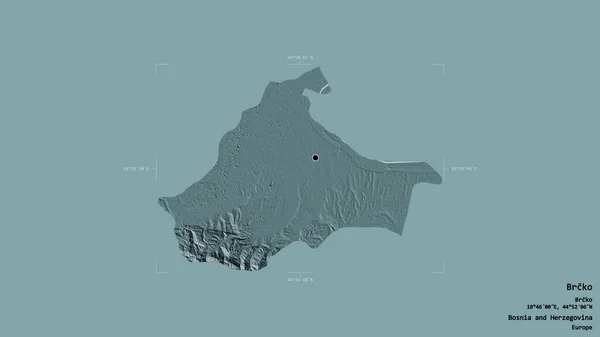
Area of Brcko, district of Bosnia and Herzegovina, isolated on a solid background in a georeferenced bounding box. Labels. Colored elevation map. 3D rendering
Area Brcko District Bosnia Herzegovina Isolated Solid Background Georeferenced Bounding — Stock Photo, Image
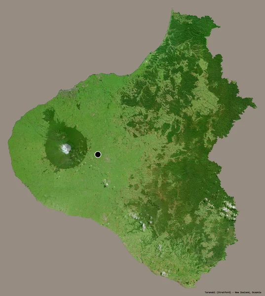
Shape of Taranaki, regional council of New Zealand, with its capital isolated on a solid color background. Satellite imagery. 3D rendering
Shape Taranaki Regional Council New Zealand Its Capital Isolated Solid — Stock Photo, Image
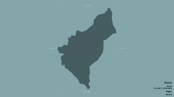
Area of Dosso, department of Niger, isolated on a solid background in a georeferenced bounding box. Labels. Colored elevation map. 3D rendering
Area Dosso Department Niger Isolated Solid Background Georeferenced Bounding Box — Stock Photo, Image
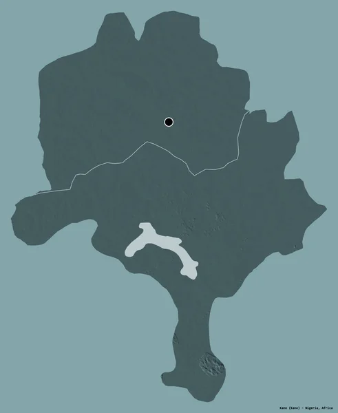
Shape of Kano, state of Nigeria, with its capital isolated on a solid color background. Colored elevation map. 3D rendering
Shape Kano State Nigeria Its Capital Isolated Solid Color Background — Stock Photo, Image
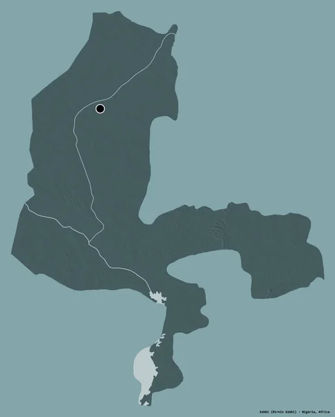
Shape of Kebbi, state of Nigeria, with its capital isolated on a solid color background. Colored elevation map. 3D rendering
Shape Kebbi State Nigeria Its Capital Isolated Solid Color Background — Stock Photo, Image
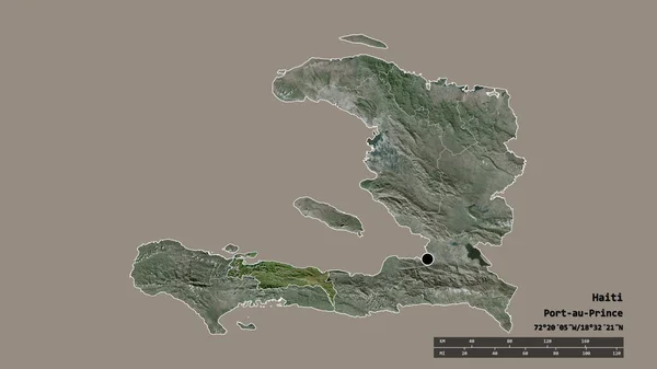
Desaturated shape of Haiti with its capital, main regional division and the separated Nippes area. Labels. Satellite imagery. 3D rendering
Desaturated Shape Haiti Its Capital Main Regional Division Separated Nippes — Stock Photo, Image
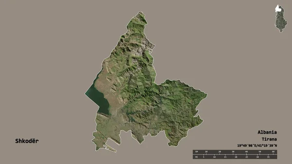
Shape of Shkoder, county of Albania, with its capital isolated on solid background. Distance scale, region preview and labels. Satellite imagery. 3D rendering
Shape Shkoder County Albania Its Capital Isolated Solid Background Distance — Stock Photo, Image
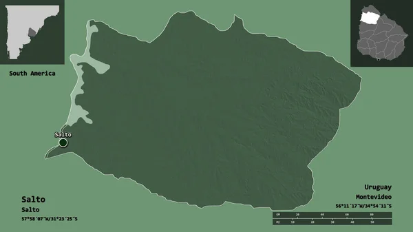
Shape of Salto, department of Uruguay, and its capital. Distance scale, previews and labels. Colored elevation map. 3D rendering
Shape Salto Department Uruguay Its Capital Distance Scale Previews Labels — Stock Photo, Image
Abstract creative tropical landscape oil picture
Abstract Creative Tropical Landscape Oil Picture — Stock Photo, Image
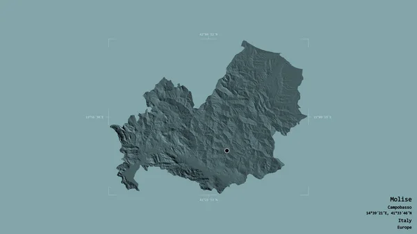
Area of Molise, region of Italy, isolated on a solid background in a georeferenced bounding box. Labels. Colored elevation map. 3D rendering
Area Molise Region Italy Isolated Solid Background Georeferenced Bounding Box — Stock Photo, Image
Seascape drawing with gouache or acrylic paints
Seascape Drawing Gouache Acrylic Paints — Stock Photo, Image
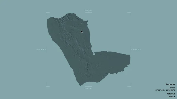
Area of Kunene, region of Namibia, isolated on a solid background in a georeferenced bounding box. Labels. Colored elevation map. 3D rendering
Area Kunene Region Namibia Isolated Solid Background Georeferenced Bounding Box — Stock Photo, Image
Area of Tambov, region of Russia, isolated on a solid background in a georeferenced bounding box. Labels. Topographic relief map. 3D rendering
Area Tambov Region Russia Isolated Solid Background Georeferenced Bounding Box — Stock Photo, Image
Area of Boaco, department of Nicaragua, isolated on a solid background in a georeferenced bounding box. Labels. Colored elevation map. 3D rendering
Area Boaco Department Nicaragua Isolated Solid Background Georeferenced Bounding Box — Stock Photo, Image
Beautiful tropical beach on background
Beautiful Tropical Beach Background — Stock Photo, Image
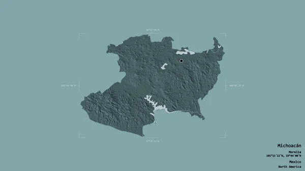
Area of Michoacan, state of Mexico, isolated on a solid background in a georeferenced bounding box. Labels. Colored elevation map. 3D rendering
Area Michoacan State Mexico Isolated Solid Background Georeferenced Bounding Box — Stock Photo, Image

Related image searches

Small Island Images: Captivating Visuals for Your Creative Projects

Looking for stunning imagery to enhance your creative projects? Our collection of small island images offers a wide range of captivating visuals that are sure to elevate your work. Whether you need visuals for a website, blog post, social media campaign, or any other design project, our stock images are the perfect solution. In this search page overview, we will provide you with all the details you need to know about the available images, their types, potential uses, and how to incorporate them effectively.

Types of Small Island Images

Our stock image collection includes high-quality JPG, AI, and EPS files that are suitable for various design purposes. These file formats are widely compatible and can be easily modified or scaled to fit your specific needs. Whether you require a standard image for print or a vector file for more flexible manipulation, we have you covered. By offering these different file types, we strive to provide a versatile selection of images to cater to the diverse requirements of your projects.

Potential Uses for Small Island Images

The small island images in our collection can be incorporated into a wide range of projects across different industries. From travel magazines and tourism websites to environmental campaigns and art installations, the possibilities are endless. These captivating visuals can help you transport your audience to serene tropical paradises, evoke a sense of wanderlust, or simply add natural beauty to any design. Whether you are promoting a vacation destination, advocating for environmental conservation, or creating eye-catching graphics, our images are a valuable asset.

Choosing the Right Image for Your Project

Selecting the perfect image for your project can be a daunting task, but with a few simple guidelines, you can make the right choice. Firstly, consider the purpose and target audience of your project. Are you designing for a luxury resort or an eco-friendly adventure tour? This will help you determine the tone and style of your visuals. Secondly, pay attention to the composition and color scheme of the image. A well-balanced composition and harmonious colors can greatly enhance the overall impact of your design. Finally, consider the placement and size of the image within your layout. Ensure that it complements the overall design and doesn't overpower other elements.

Practical Tips for Using Small Island Images

To make the most of our small island images, keep the following practical tips in mind:

- Crop and resize images as needed to fit your layout without distorting the original proportions.

- Use images with natural light and vibrant colors to create a refreshing and inviting atmosphere.

- Experiment with different filters and effects to add a unique touch and match your brand identity.

- Incorporate images into relevant context, such as using them alongside engaging travel narratives or informative content about island destinations.

- If using vectors, customize them by changing colors, adding or removing elements, and adapting them to your specific design requirements.

By following these tips, you can effectively utilize our small island images to captivate and engage your audience, leaving a lasting impression that aligns with your project goals.

In conclusion, our collection of small island images provides a diverse selection of captivating visuals in JPG, AI, and EPS formats. Whether you are designing for travel, nature, or environmental themes, these images are versatile and can elevate the visual impact of your projects. By understanding your project's requirements, selecting images mindfully, and incorporating them skillfully, you can create stunning designs that resonate with your audience. Explore our collection today and unlock the full potential of these mesmerizing small island images!