Strait of magellan Stock Photos

100,000 Strait of magellan pictures are available under a royalty-free license

  • Best Match
  • Fresh
  • Popular
1-100 of 100,000
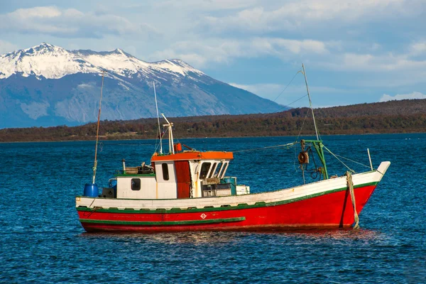
Strait Of Magellan, Puerto Natales, Patagonia, Chile
Strait Of Magellan, Puerto Natales, Patagonia, Chile — Stock Photo, Image
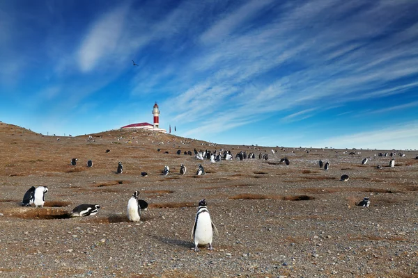
Magellanic Penguins (Spheniscus magellanicus) at the penguin sanctuary on Magdalena Island in the Strait of Magellan near Punta Arenas in southern Chile.
Magellanic Penguins (Spheniscus magellanicus) at the penguin sanctuary on Magdalena Island in the Strait of Magellan near Punta Arenas in southern Chile. — Stock Photo, Image
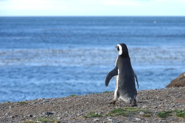
Magellanic penguins on Magdalena island, Chile
Magellanic penguins on Magdalena island, Chile — Stock Photo, Image
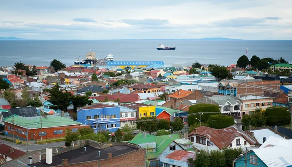
Beautiful view of Punta Arenas with the Strait of Magellan
Beautiful view of Punta Arenas with the Strait of Magellan — Stock Photo, Image
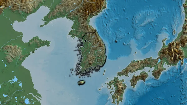
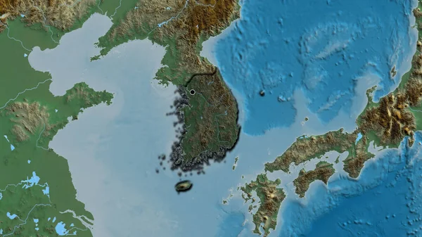
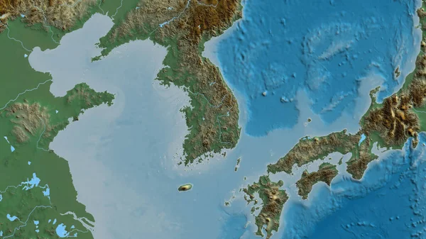
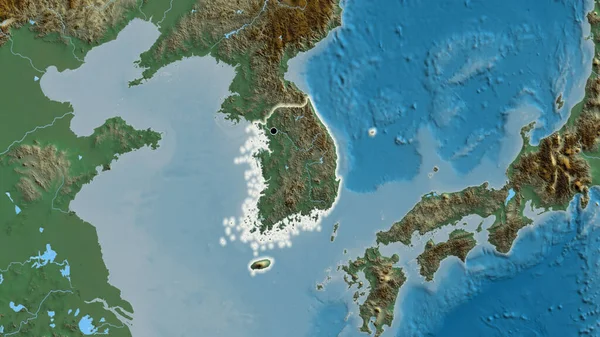
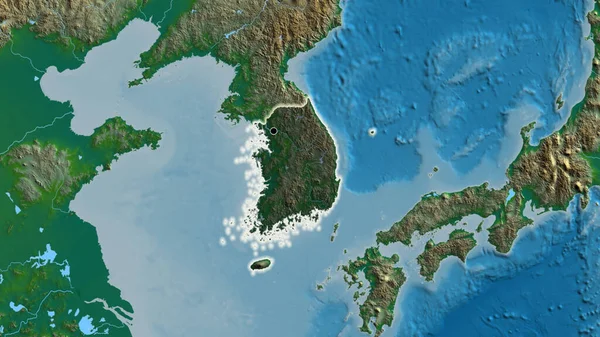
Close-up of the South Korea border area on a relief map. Capital point. Bevelled edges of the country shape.
Close South Korea Border Area Relief Map Capital Point Bevelled — Stock Photo, Image
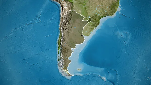
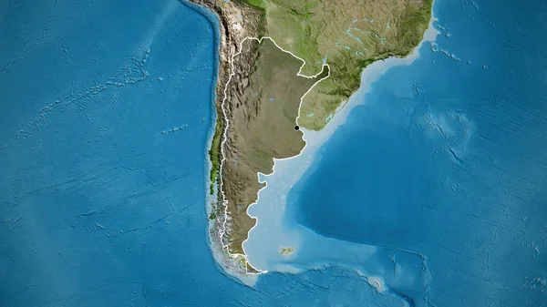
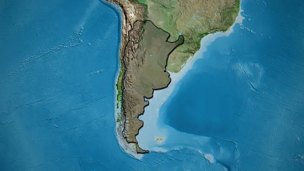
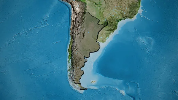
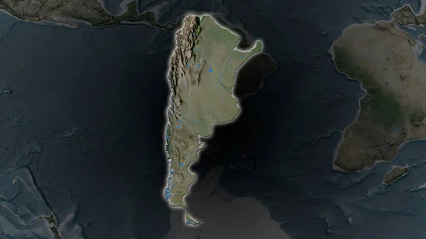
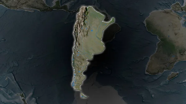
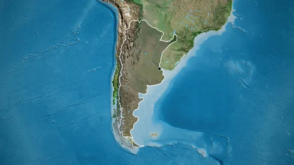
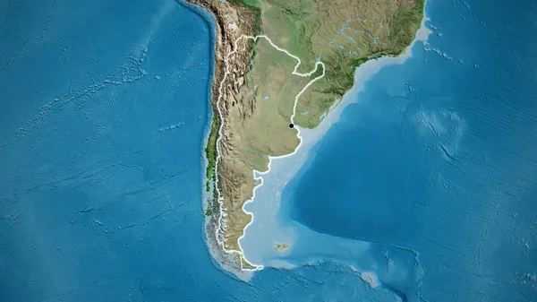
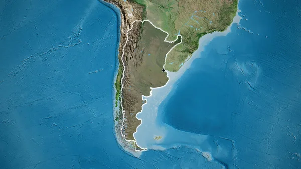
Close-up of the Argentina border area highlighting with a dark overlay on a satellite map. Capital point. Glow around the country shape.
Close Argentina Border Area Highlighting Dark Overlay Satellite Map Capital — Stock Photo, Image
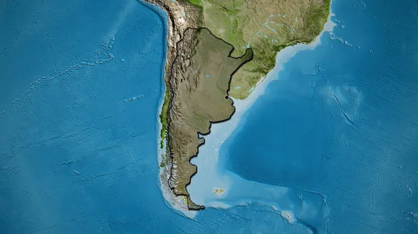
Close-up of the Argentina border area highlighting with a dark overlay on a satellite map. Capital point. Bevelled edges of the country shape.
Close Argentina Border Area Highlighting Dark Overlay Satellite Map Capital — Stock Photo, Image
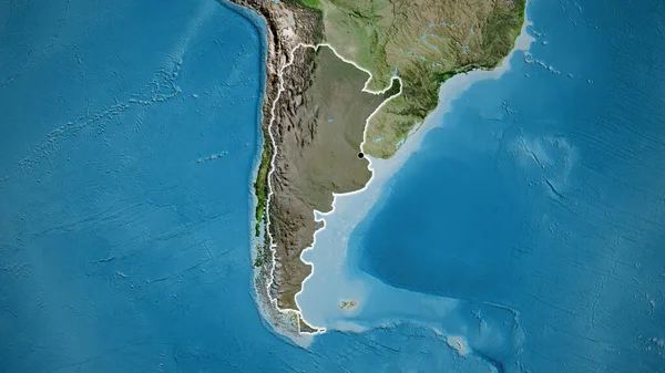
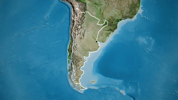
Close-up of the Argentina border area highlighting with a dark overlay on a satellite map. Capital point. Glow around the country shape.
Close Argentina Border Area Highlighting Dark Overlay Satellite Map Capital — Stock Photo, Image
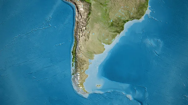
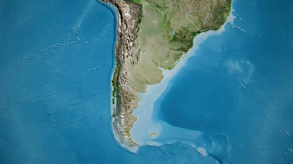
Close-up of asatellite map centered on Argentina
Close Asatellite Map Centered Argentina — Stock Photo, Image
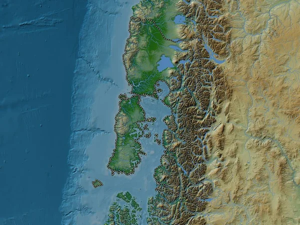
Los Lagos, region of Chile. Colored elevation map with lakes and rivers
Los Lagos Region Chile Colored Elevation Map Lakes Rivers — Stock Photo, Image
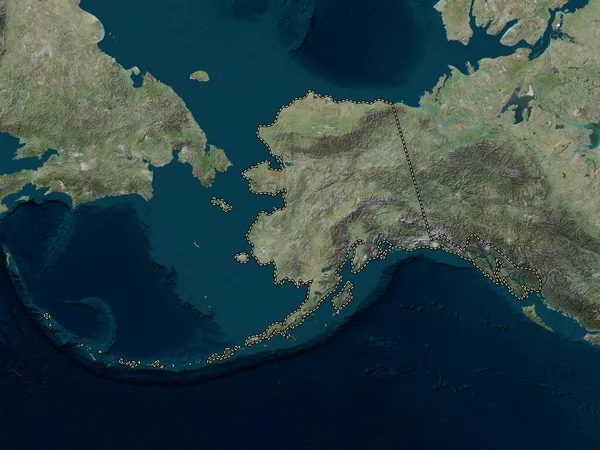
Alaska, state of United States of America. High resolution satellite map
Alaska State United States America High Resolution Satellite Map — Stock Photo, Image
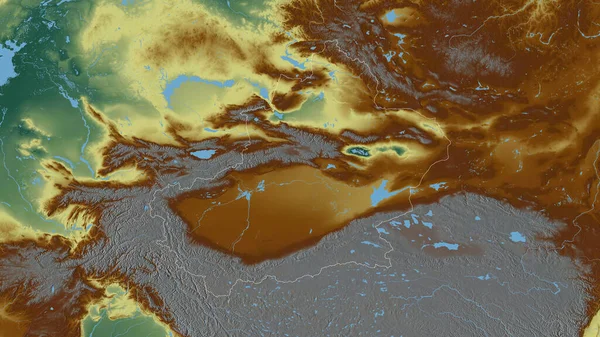
Xinjiang Uygur, autonomous region of China. Colored relief with lakes and rivers. Shape outlined against its country area. 3D rendering
Xinjiang Uygur Autonomous Region China Colored Relief Lakes Rivers Shape — Stock Photo, Image
Close-up of the South Korea border area highlighting with a dark overlay on a relief map. Capital point. Bevelled edges of the country shape.
Close South Korea Border Area Highlighting Dark Overlay Relief Map — Stock Photo, Image
Close-up of the Argentina border area highlighting with a dark overlay on a satellite map. Capital point. Outline around the country shape.
Close Argentina Border Area Highlighting Dark Overlay Satellite Map Capital — Stock Photo, Image
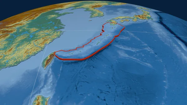
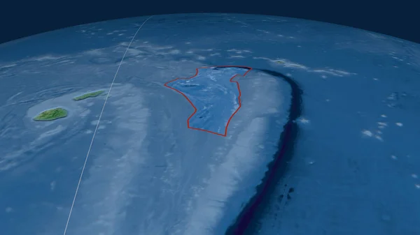
Okinawa tectonic plate extruded on the globe. color physical map. 3D rendering
Okinawa Tectonic Plate Extruded Globe Color Physical Map Rendering — Stock Photo, Image
Close-up of asatellite map centered on Argentina
Close Asatellite Map Centered Argentina — Stock Photo, Image
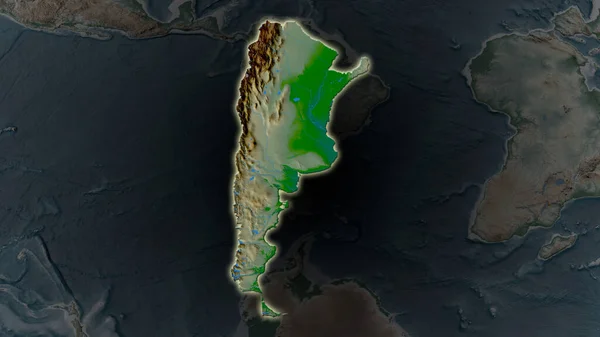
Argentina area enlarged and glowed on a darkened background of its surroundings. Main physical landscape features
Argentina Area Enlarged Glowed Darkened Background Its Surroundings Main Physical — Stock Photo, Image
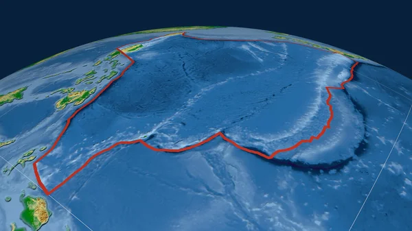
Philippine Sea tectonic plate outlined on the globe. color physical map. 3D rendering
Philippine Sea Tectonic Plate Outlined Globe Color Physical Map Rendering — Stock Photo, Image
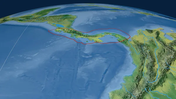
Panama tectonic plate outlined on the globe. satellite imagery. 3D rendering
Panama Tectonic Plate Outlined Globe Satellite Imagery Rendering — Stock Photo, Image
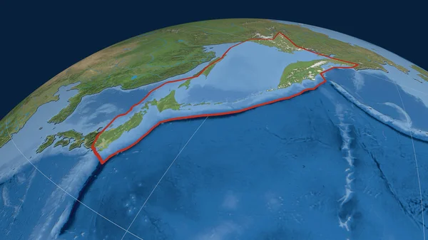
Okhotsk tectonic plate outlined on the globe. satellite imagery. 3D rendering
Okhotsk Tectonic Plate Outlined Globe Satellite Imagery Rendering — Stock Photo, Image
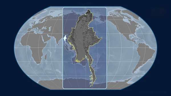
Zoomed-in view of Myanmar outline with perspective lines against a global map in the Kavrayskiy projection. Shape centered. grayscale elevation map
Zoomed View Myanmar Outline Perspective Lines Global Map Kavrayskiy Projection — Stock Photo, Image
Precipitation of wettest quarter within the Taiwan area in the stereographic projection with legend - raw composition of raster layers with light glowing outline
Precipitation Wettest Quarter Taiwan Area Stereographic Projection Legend Raw Composition — Stock Photo, Image
Close-up of the Argentina border area highlighting with a dark overlay on a satellite map. Capital point. Bevelled edges of the country shape.
Close Argentina Border Area Highlighting Dark Overlay Satellite Map Capital — Stock Photo, Image
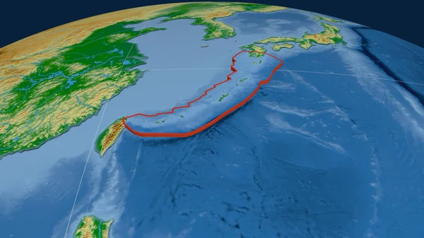
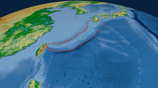
Okinawa tectonic plate outlined on the globe. color physical map. 3D rendering
Okinawa Tectonic Plate Outlined Globe Color Physical Map Rendering — Stock Photo, Image
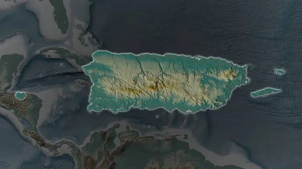
Puerto Rico area enlarged and glowed on a darkened background of its surroundings. Relief map
Puerto Rico Area Enlarged Glowed Darkened Background Its Surroundings Relief — Stock Photo, Image
Puerto Rico area enlarged and glowed on a darkened background of its surroundings. Relief map
Puerto Rico Area Enlarged Glowed Darkened Background Its Surroundings Relief — Stock Photo, Image
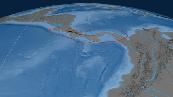
Panama tectonic plate outlined on the globe. topographic map. 3D rendering
Panama Tectonic Plate Outlined Globe Topographic Map Rendering — Stock Photo, Image
Extended area of outlined Ecuador. Topographic relief map. 3D rendering
Extended Area Outlined Ecuador Topographic Relief Map Rendering — Stock Photo, Image
Close-up of arelief map centered on South Korea
Close Arelief Map Centered South Korea — Stock Photo, Image
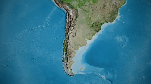
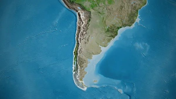
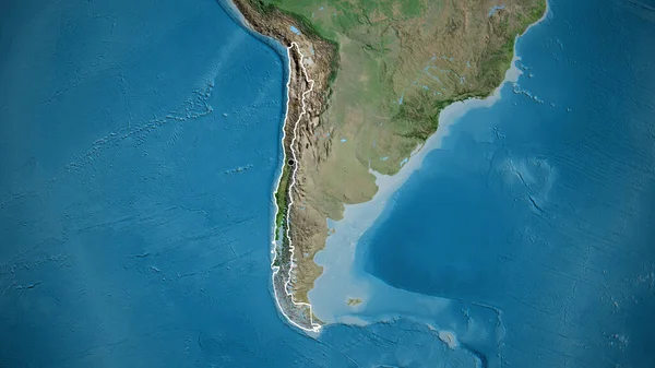
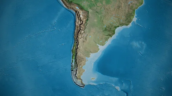
Close-up of the Chile border area on a satellite map. Capital point. Bevelled edges of the country shape.
Close Chile Border Area Satellite Map Capital Point Bevelled Edges — Stock Photo, Image
Okinawa tectonic plate extruded on the globe. topographic map. 3D rendering
Okinawa Tectonic Plate Extruded Globe Topographic Map Rendering — Stock Photo, Image
Close-up of the Argentina border area highlighting with a dark overlay on a satellite map. Capital point. Glow around the country shape.
Close Argentina Border Area Highlighting Dark Overlay Satellite Map Capital — Stock Photo, Image
Close-up of the Argentina border area highlighting with a dark overlay on a satellite map. Capital point. Bevelled edges of the country shape.
Close Argentina Border Area Highlighting Dark Overlay Satellite Map Capital — Stock Photo, Image
Close-up of the Argentina border area on a satellite map. Capital point. Glow around the country shape.
Close Argentina Border Area Satellite Map Capital Point Glow Country — Stock Photo, Image
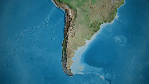
Close-up of the Chile border area on a satellite map. Capital point. Glow around the country shape.
Close Chile Border Area Satellite Map Capital Point Glow Country — Stock Photo, Image
Outline of the Anatolian tectonic plate with the borders of surrounding plates against the background of a relief map. 3D rendering
Outline Anatolian Tectonic Plate Borders Surrounding Plates Background Relief Map — Stock Photo, Image
Manus tectonic plate extruded on the globe. topographic relief map. 3D rendering
Manus Tectonic Plate Extruded Globe Topographic Relief Map Rendering — Stock Photo, Image
Close-up of the Chile border area on a satellite map. Capital point. Bevelled edges of the country shape.
Close Chile Border Area Satellite Map Capital Point Bevelled Edges — Stock Photo, Image
Close-up of the South Korea border area highlighting with a dark overlay on a physical map. Capital point. Glow around the country shape.
Close South Korea Border Area Highlighting Dark Overlay Physical Map — Stock Photo, Image
The highlighted area of Argentina with capital point on the desaturated map of its neighbourhood. Satellite imagery
Highlighted Area Argentina Capital Point Desaturated Map Its Neighbourhood Satellite — Stock Photo, Image
Argentina area enlarged and glowed on a darkened background of its surroundings. Satellite imagery
Argentina Area Enlarged Glowed Darkened Background Its Surroundings Satellite Imagery — Stock Photo, Image
Argentina area enlarged and glowed on a darkened background of its surroundings. Satellite imagery
Argentina Area Enlarged Glowed Darkened Background Its Surroundings Satellite Imagery — Stock Photo, Image
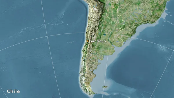
Chile area on the satellite D map in the stereographic projection - main composition
Chile Area Satellite Map Stereographic Projection Main Composition — Stock Photo, Image
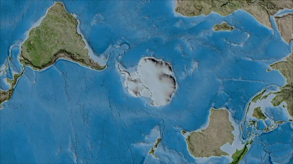
Neighborhoods of the Antarctica tectonic plate on the satellite B map in the van der Grinten I projection (oblique transformation). Raw composite - no outlines
Neighborhoods Antarctica Tectonic Plate Satellite Map Van Der Grinten Projection — Stock Photo, Image
North Korea on globe
North Korea on globe — Stock Photo, Image
Darien- province of Panama zoomed and highlighted. Main physical landscape features. 3D rendering
Darien Province Panama Zoomed Highlighted Main Physical Landscape Features Rendering — Stock Photo, Image
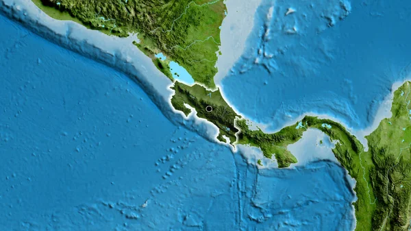
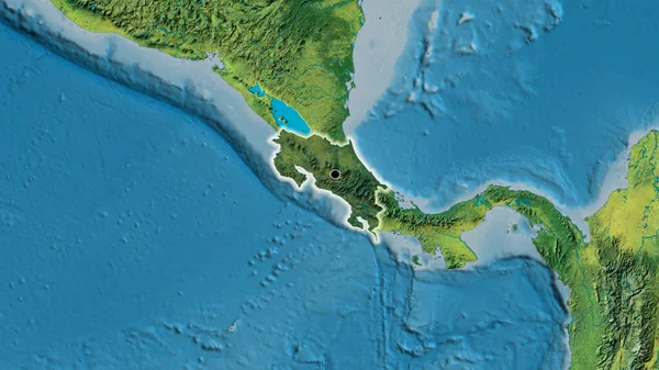
Close-up of the Costa Rica border area highlighting with a dark overlay on a satellite map. Capital point. Glow around the country shape.
Close Costa Rica Border Area Highlighting Dark Overlay Satellite Map — Stock Photo, Image
Okinawa tectonic plate extruded on the globe. topographic relief map. 3D rendering
Okinawa Tectonic Plate Extruded Globe Topographic Relief Map Rendering — Stock Photo, Image
Close-up of the Chile border area on a satellite map. Capital point. Outline around the country shape.
Close Chile Border Area Satellite Map Capital Point Outline Country — Stock Photo, Image
Neighborhoods of the Rivera tectonic plate on the satellite A map in the van der Grinten I projection (oblique transformation). Raw composite - no outlines
Neighborhoods Rivera Tectonic Plate Satellite Map Van Der Grinten Projection — Stock Photo, Image
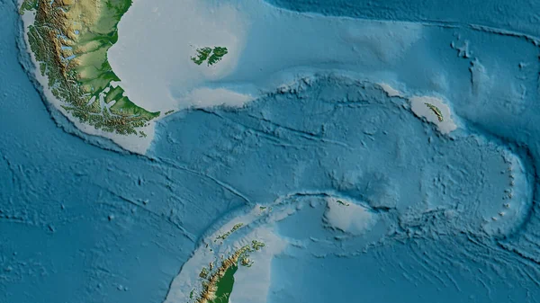
Physical map of the area around the Scotia tectonic plate. 3D rendering
Physical Map Area Scotia Tectonic Plate Rendering — Stock Photo, Image
Panama. Neighborhood - distant perspective without outline. color physical map
Panama Neighborhood Distant Perspective Outline Color Physical Map — Stock Photo, Image
Santa Cruz, province of Argentina. Low resolution satellite map
Santa Cruz Province Argentina Low Resolution Satellite Map — Stock Photo, Image
Iloilo, province of Philippines. Colored shader data with lakes and rivers. Shape outlined against its country area. 3D rendering
Iloilo Province Philippines Colored Shader Data Lakes Rivers Shape Outlined — Stock Photo, Image
Cabo Delgado, province of Mozambique. Colored elevation map with lakes and rivers
Cabo Delgado Province Mozambique Colored Elevation Map Lakes Rivers — Stock Photo, Image
Close-up of the Costa Rica border area and its regional borders on a satellite map. Capital point. Outline around the country shape.
Close Costa Rica Border Area Its Regional Borders Satellite Map — Stock Photo, Image
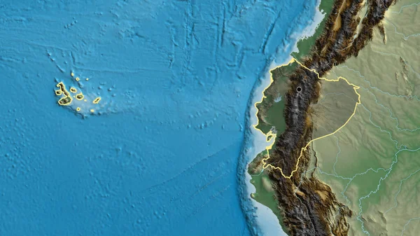
Close-up of the Ecuador border area on a physical map. Capital point. Outline around the country shape.
Close Ecuador Border Area Physical Map Capital Point Outline Country — Stock Photo, Image
Agusan del Sur, province of Philippines. Colored shader data with lakes and rivers. Shape outlined against its country area. 3D rendering
Agusan Del Sur Province Philippines Colored Shader Data Lakes Rivers — Stock Photo, Image
Ecuador area on the topographic relief map in the stereographic projection - raw composition of raster layers with light glowing outline
Ecuador Area Topographic Relief Map Stereographic Projection Raw Composition Raster — Stock Photo, Image
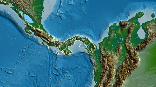
Close-up of the Panama border area on a physical map. Capital point. Outline around the country shape.
Close Panama Border Area Physical Map Capital Point Outline Country — Stock Photo, Image
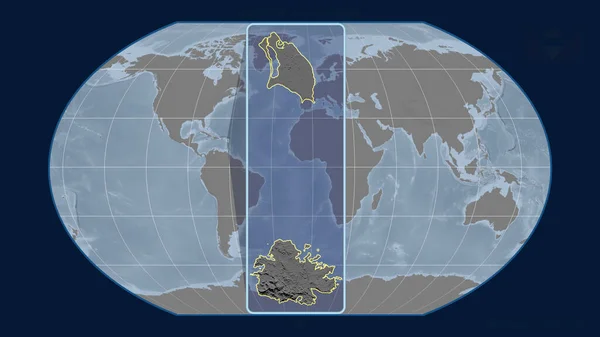
Zoomed-in view of Antigua And Barbuda outline with perspective lines against a global map in the Kavrayskiy projection. Shape centered. grayscale elevation map
Zoomed View Antigua Barbuda Outline Perspective Lines Global Map Kavrayskiy — Stock Photo, Image
Juan De Fuca tectonic plate extruded and presented against the globe. satellite imagery. 3D rendering
Juan Fuca Tectonic Plate Extruded Presented Globe Satellite Imagery Rendering — Stock Photo, Image
Close-up of the Ecuador border area highlighting with a dark overlay on a relief map. Capital point. Outline around the country shape.
Close Ecuador Border Area Highlighting Dark Overlay Relief Map Capital — Stock Photo, Image
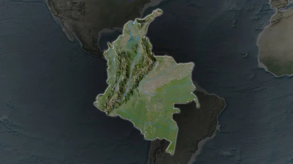
Colombia area enlarged and glowed on a darkened background of its surroundings. Satellite imagery
Colombia Area Enlarged Glowed Darkened Background Its Surroundings Satellite Imagery — Stock Photo, Image
Colombia area enlarged and glowed on a darkened background of its surroundings. Satellite imagery
Colombia Area Enlarged Glowed Darkened Background Its Surroundings Satellite Imagery — Stock Photo, Image
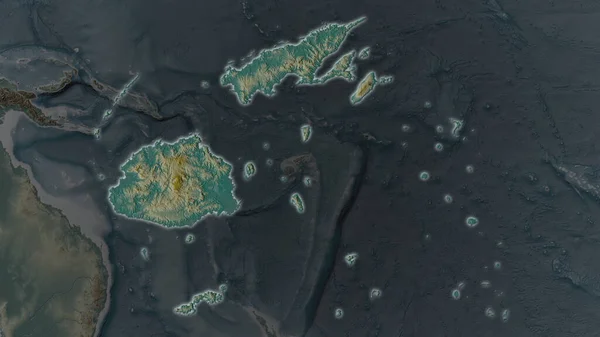
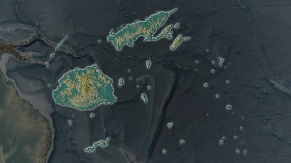
Fiji area enlarged and glowed on a darkened background of its surroundings. Relief map
Fiji Area Enlarged Glowed Darkened Background Its Surroundings Relief Map — Stock Photo, Image
Fiji area enlarged and glowed on a darkened background of its surroundings. Relief map
Fiji Area Enlarged Glowed Darkened Background Its Surroundings Relief Map — Stock Photo, Image
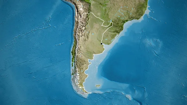
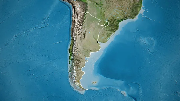
Close-up of the Argentina border area on a satellite map. Capital point. Outline around the country shape.
Close Argentina Border Area Satellite Map Capital Point Outline Country — Stock Photo, Image
Close-up of the Argentina border area highlighting with a dark overlay on a satellite map. Capital point. Outline around the country shape.
Close Argentina Border Area Highlighting Dark Overlay Satellite Map Capital — Stock Photo, Image
Close-up of the Costa Rica border area highlighting with a dark overlay on a topographic map. Capital point. Glow around the country shape.
Close Costa Rica Border Area Highlighting Dark Overlay Topographic Map — Stock Photo, Image
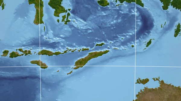
East Timor. Neighborhood - distant perspective without outline. satellite imagery
East Timor Neighborhood Distant Perspective Outline Satellite Imagery — Stock Photo, Image
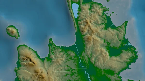
Misamis Oriental, province of Philippines. Colored shader data with lakes and rivers. Shape outlined against its country area. 3D rendering
Misamis Oriental Province Philippines Colored Shader Data Lakes Rivers Shape — Stock Photo, Image
Close-up of the Panama border area and its regional borders on a physical map. Capital point. Outline around the country shape.
Close Panama Border Area Its Regional Borders Physical Map Capital — Stock Photo, Image
Okinawa tectonic plate extruded on the globe. natural earth topographic map. 3D rendering
Okinawa Tectonic Plate Extruded Globe Natural Earth Topographic Map Rendering — Stock Photo, Image
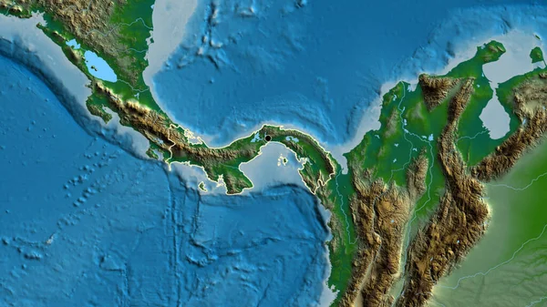
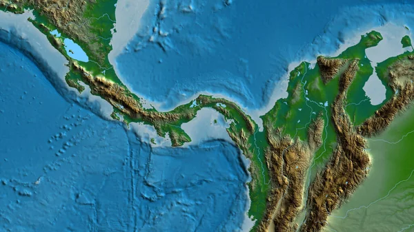
Close-up of aphysical map centered on Panama
Close Aphysical Map Centered Panama — Stock Photo, Image
Norway area enlarged and glowed on a darkened background of its surroundings. Relief map
Norway Area Enlarged Glowed Darkened Background Its Surroundings Relief Map — Stock Photo, Image
Close-up of the South Korea border area on a relief map. Capital point. Glow around the country shape.
Close South Korea Border Area Relief Map Capital Point Glow — Stock Photo, Image
Agusan del Norte, province of Philippines. Colored shader data with lakes and rivers. Shape outlined against its country area. 3D rendering
Agusan Del Norte Province Philippines Colored Shader Data Lakes Rivers — Stock Photo, Image
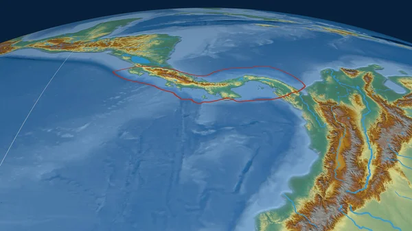
Panama tectonic plate outlined on the globe. topographic relief map. 3D rendering
Panama Tectonic Plate Outlined Globe Topographic Relief Map Rendering — Stock Photo, Image
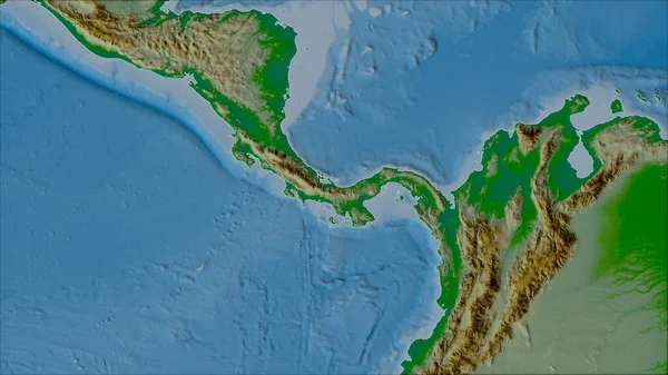
Neighborhoods of the Panama tectonic plate on the physical map in the van der Grinten I projection (oblique transformation). Raw composite - no outlines
Neighborhoods Panama Tectonic Plate Physical Map Van Der Grinten Projection — Stock Photo, Image
Panama tectonic plate outlined on the globe. topography and bathymetry colored elevation map. 3D rendering
Panama Tectonic Plate Outlined Globe Topography Bathymetry Colored Elevation Map — Stock Photo, Image
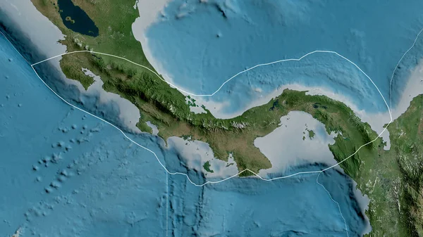
Outline of the Panama tectonic plate with the borders of surrounding plates against the background of a satellite map. 3D rendering
Outline Panama Tectonic Plate Borders Surrounding Plates Background Satellite Map — Stock Photo, Image
Close-up of the Argentina border area on a satellite map. Capital point. Glow around the country shape.
Close Argentina Border Area Satellite Map Capital Point Glow Country — Stock Photo, Image
Close-up of the Chile border area highlighting with a dark overlay on a satellite map. Capital point. Bevelled edges of the country shape.
Close Chile Border Area Highlighting Dark Overlay Satellite Map Capital — Stock Photo, Image
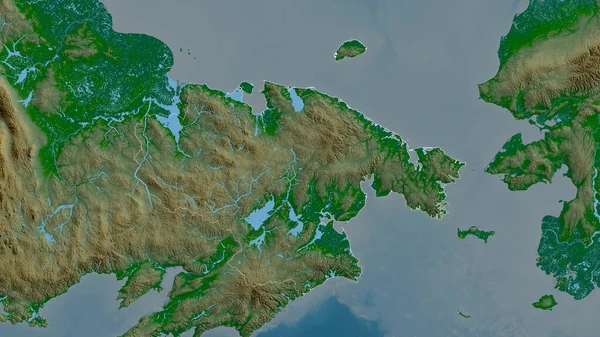
Chukot, autonomous province of Russia. Colored shader data with lakes and rivers. Shape outlined against its country area. 3D rendering
Chukot Autonomous Province Russia Colored Shader Data Lakes Rivers Shape — Stock Photo, Image
Close-up of the Argentina border area on a satellite map. Capital point. Outline around the country shape.
Close Argentina Border Area Satellite Map Capital Point Outline Country — Stock Photo, Image
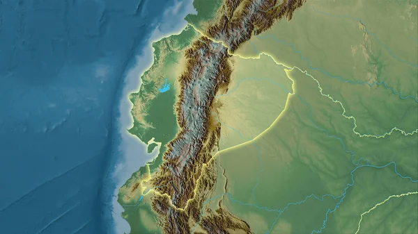
Ecuador area enlarged and glowed on a darkened background of its surroundings. Relief map
Ecuador Area Enlarged Glowed Darkened Background Its Surroundings Relief Map — Stock Photo, Image
Ecuador area enlarged and glowed on a darkened background of its surroundings. Relief map
Ecuador Area Enlarged Glowed Darkened Background Its Surroundings Relief Map — Stock Photo, Image
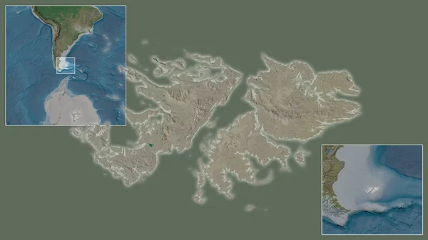
Close-up of Falkland Islands and its location in the region and in the center of a large-scale world map. Satellite imagery
Close Falkland Islands Its Location Region Center Large Scale World — Stock Photo, Image
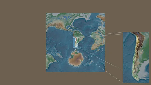
Expanded and enlarged area of Chile extracted from the large-scale map of the world with leading lines connecting the corners of the frames. Color physical map
Expanded Enlarged Area Chile Extracted Large Scale Map World Leading — Stock Photo, Image
Neighborhoods of the Okhotsk tectonic plate on the satellite B map in the van der Grinten I projection (oblique transformation). Raw composite - no outlines
Neighborhoods Okhotsk Tectonic Plate Satellite Map Van Der Grinten Projection — Stock Photo, Image
Sakhalin - region of Russia zoomed and highlighted. Satellite imagery. 3D rendering
Sakhalin Region Russia Zoomed Highlighted Satellite Imagery Rendering — Stock Photo, Image
Land and sea
Land and  sea — Stock Photo, Image
White and blue background texture. Abstract map with north shoreline, sea, ocean, ice, mountains, clouds. The surface of fantasy planet. Bird's-eye view.
White Blue Background Texture Abstract Map North Shoreline Sea Ocean — Stock Photo, Image
Democratic Republic of the Congo area enlarged and glowed on a darkened background of its surroundings. Relief map
Democratic Republic Congo Area Enlarged Glowed Darkened Background Its Surroundings — Stock Photo, Image
Democratic Republic of the Congo area enlarged and glowed on a darkened background of its surroundings. Relief map
Democratic Republic Congo Area Enlarged Glowed Darkened Background Its Surroundings — Stock Photo, Image
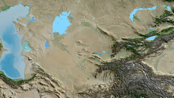
Close-up of asatellite map centered on Uzbekistan
Close Asatellite Map Centered Uzbekistan — Stock Photo, Image
Myanmar area enlarged and glowed on a darkened background of its surroundings. Relief map
Myanmar Area Enlarged Glowed Darkened Background Its Surroundings Relief Map — Stock Photo, Image
Myanmar area enlarged and glowed on a darkened background of its surroundings. Relief map
Myanmar Area Enlarged Glowed Darkened Background Its Surroundings Relief Map — Stock Photo, Image
Niuafou tectonic plate outlined on the globe. natural earth topographic map. 3D rendering
Niuafou Tectonic Plate Outlined Globe Natural Earth Topographic Map Rendering — Stock Photo, Image

**H2 - Explore a Captivating Collection of Strait of Magellan Images**

**H3 - An Array of Stunning Visuals That Bring the Strait of Magellan to Life**

Step into the mesmerizing world of the Strait of Magellan with our extensive collection of stock images. From breathtaking landscapes to awe-inspiring wildlife, our selection is sure to captivate and inspire. With a variety of file formats available, including JPG, AI, and EPS, these images can be used for a wide range of projects, whether you're creating a travel brochure, designing a website, or enhancing a presentation. Let your imagination soar as you discover the beauty and diversity of the Strait of Magellan through our visually striking images.

**H3 - Immerse Yourself in the Majestic Landscapes of the Strait of Magellan**

Our collection offers a multitude of strait of Magellan images that showcase the dramatic landscapes found in this iconic location. Whether it's the rugged cliffs of Tierra del Fuego, the towering peaks of the Andes Mountains, or the sprawling glaciers that reveal the passage's turbulent history, our visuals bring these enchanting landscapes to life. As you browse through our carefully curated stock images, you'll find yourself transported to the untamed wilderness of the strait, feeling the immensity and grandeur of the surrounding scenery.

**H3 - Discover the Vibrant Wildlife That Calls the Strait of Magellan Home**

In addition to the mesmerizing landscapes, the Strait of Magellan is renowned for its diverse wildlife. From playful dolphins and majestic whales to adorable penguins and graceful seabirds, our collection celebrates the enchanting creatures that inhabit these waters. Whether you're working on a conservation campaign, illustrating a children's book, or creating marketing materials for a wildlife tour, our visuals provide an unparalleled glimpse into the captivating world of the strait's inhabitants. With each image, you'll feel the wonder of encountering these magnificent creatures up close.

**H3 - Tips on Choosing and Utilizing Strait of Magellan Images for Your Projects**

When it comes to effectively using stock images, there are a few key considerations to keep in mind. Firstly, choose visuals that align with the theme and purpose of your project. For instance, if you're creating a travel brochure highlighting the adventurous spirit of the strait, opt for images that showcase the sheer power of the windswept landscapes or the thrill of sailing through its waters.

Secondly, consider the placement of the image and its visual impact. Will it be the main focal point or a supporting element? Ensure that the chosen image does not overpower the overall design but instead enhances the message you want to convey. A well-balanced composition will create a visually appealing and engaging experience for your audience.

Lastly, pay attention to the file format you select. JPG images are ideal for web-based projects, as they offer a good balance between image quality and file size. For designs that require scalability, such as banners or billboards, EPS or AI files are preferred as they allow for easy resizing without compromising image quality.

In conclusion, our collection of Strait of Magellan images is a treasure trove for anyone looking to add a touch of wonder and intrigue to their creative projects. With a wide range of file formats available, these visuals can be seamlessly incorporated into various mediums and purposes. From promoting tourism to environmental campaigns, there is no limit to how these captivating images can be used. Immerse yourself in the beauty of the strait and let your imagination wander as you select the perfect visuals to elevate your projects.