Uvita Stock Photos

100,000 Uvita pictures are available under a royalty-free license

  • Best Match
  • Fresh
  • Popular
1-100 of 100,000
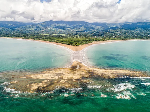
Aerial view National Park Punta Uvita Beautiful beach tropical forest pacific coast Costa Rica shape whale tail
Aerial view National Park Punta Uvita Beautiful beach tropical forest pacific coast Costa Rica shape whale tail — Stock Photo, Image
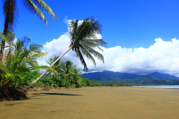
Big coconut palm trees on the wild tropical beach,on the Pacific coast, Natioanl park Marino Balleno, Costa Rica, Central America
Big coconut palm trees on the wild tropical beach,on the Pacific coast, Natioanl park Marino Balleno, Costa Rica, Central America — Stock Photo, Image
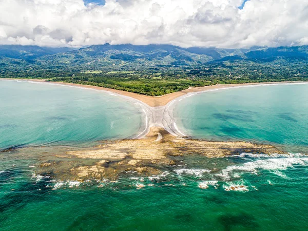
Aerial view National Park Punta Uvita Beautiful beach tropical forest pacific coast Costa Rica shape whale tail
Aerial view National Park Punta Uvita Beautiful beach tropical forest pacific coast Costa Rica shape whale tail — Stock Photo, Image
Rainforest Crab, Tropical Rainforest, Marino Ballena National Park, Uvita de Osa, Puntarenas, Costa Rica, Central America, America
Rainforest Crab Tropical Rainforest Marino Ballena National Park Uvita Osa — Stock Photo, Image
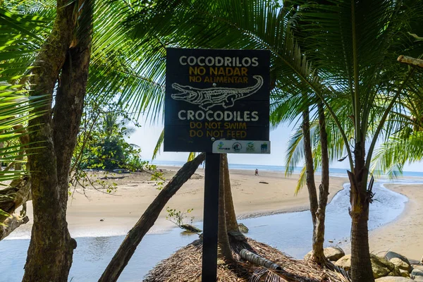
Danger sign with crocodile in Marino Ballena National Park in Punta Uvita, Costa Rica.
Danger Sign Crocodile Marino Ballena National Park Punta Uvita Costa — Stock Photo, Image
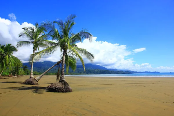
Untouched tropical beach with coconut palm, on the Pacific coast,Uvita, Costa Rica, Central America
Untouched tropical beach with coconut palm, on the Pacific coast,Uvita, Costa Rica, Central America — Stock Photo, Image
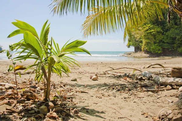
Marino Ballena National Park with beach and tropical forest in Punta Uvita, Costa Rica.
Marino Ballena National Park Beach Tropical Forest Punta Uvita Costa — Stock Photo, Image
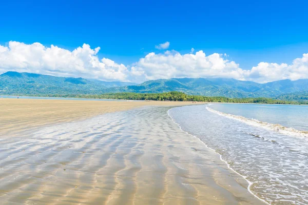
Deserted beautiful beach at Uvita in Costa Rica.
Deserted Beautiful Beach Uvita Costa Rica — Stock Photo, Image
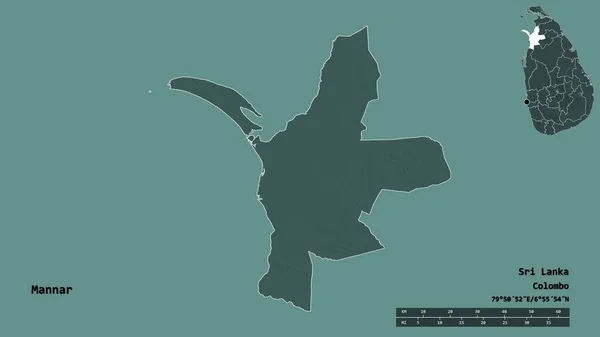
Shape of Mannar, district of Sri Lanka, with its capital isolated on solid background. Distance scale, region preview and labels. Colored elevation map. 3D rendering
Shape Mannar District Sri Lanka Its Capital Isolated Solid Background — Stock Photo, Image
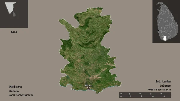
Shape of Matara, district of Sri Lanka, and its capital. Distance scale, previews and labels. Satellite imagery. 3D rendering
Shape Matara District Sri Lanka Its Capital Distance Scale Previews — Stock Photo, Image
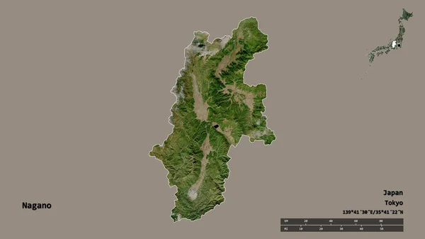
Shape of Nagano, prefecture of Japan, with its capital isolated on solid background. Distance scale, region preview and labels. Satellite imagery. 3D rendering
Shape Nagano Prefecture Japan Its Capital Isolated Solid Background Distance — Stock Photo, Image
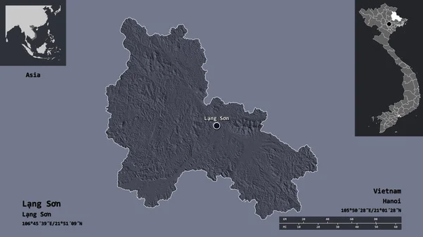
Shape of Lang Son, province of Vietnam, and its capital. Distance scale, previews and labels. Colored elevation map. 3D rendering
Shape Lang Son Province Vietnam Its Capital Distance Scale Previews — Stock Photo, Image
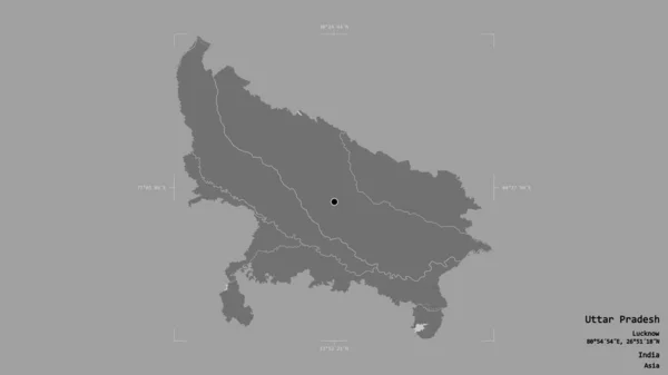
Area of Uttar Pradesh, state of India, isolated on a solid background in a georeferenced bounding box. Labels. Bilevel elevation map. 3D rendering
Area Uttar Pradesh State India Isolated Solid Background Georeferenced Bounding — Stock Photo, Image
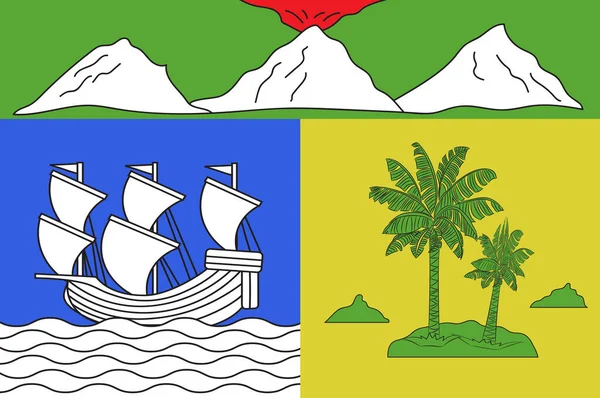
Flag of Saint-Denis in Reunion
Flag of Saint-Denis in Reunion — Stock Photo, Image
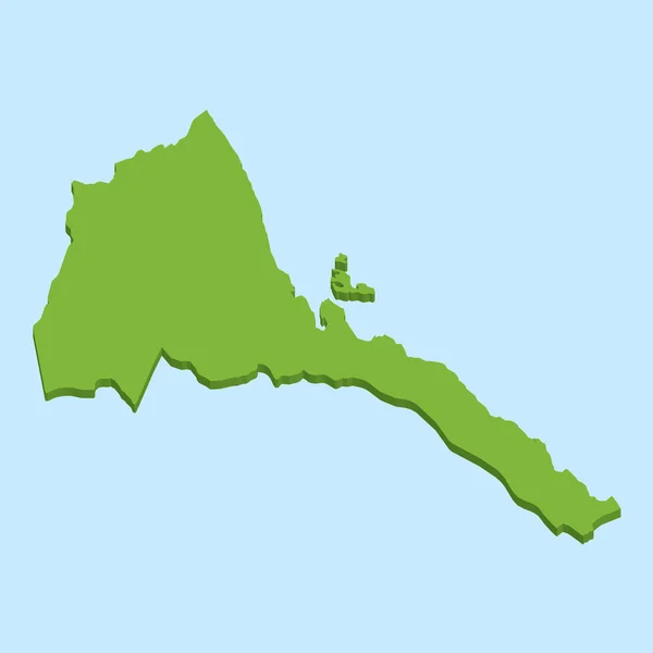
3D map on blue water background of Eritrea
3D map on blue water background of  Eritrea — Stock Photo, Image
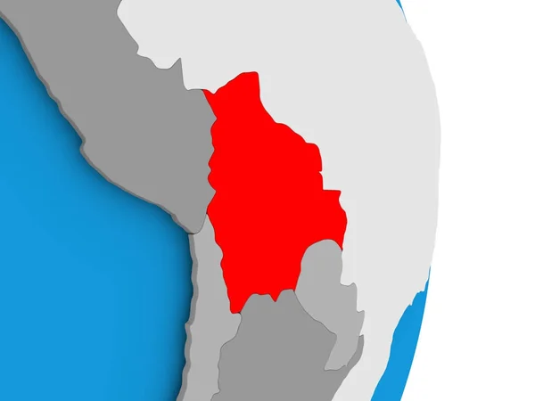
Bolivia on blue political 3D globe. 3D illustration.
Bolivia Blue Political Globe Illustration — Stock Photo, Image
Shape of Brakna, region of Mauritania, and its capital. Distance scale, previews and labels. Topographic relief map. 3D rendering
Shape Brakna Region Mauritania Its Capital Distance Scale Previews Labels — Stock Photo, Image
Desaturated shape of Liberia with its capital, main regional division and the separated Montserrado area. Labels. Colored elevation map. 3D rendering
Desaturated Shape Liberia Its Capital Main Regional Division Separated Montserrado — Stock Photo, Image
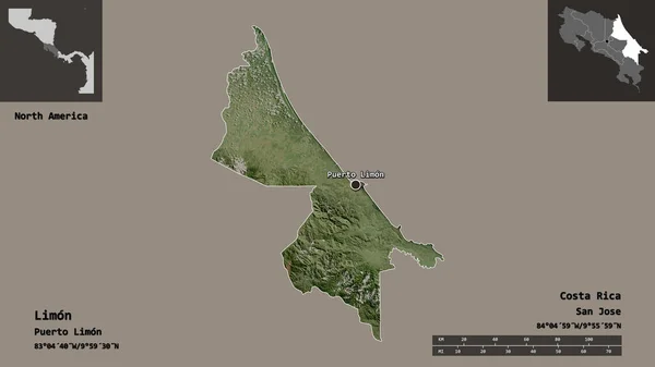
Shape of Limon, province of Costa Rica, and its capital. Distance scale, previews and labels. Satellite imagery. 3D rendering
Shape Limon Province Costa Rica Its Capital Distance Scale Previews — Stock Photo, Image
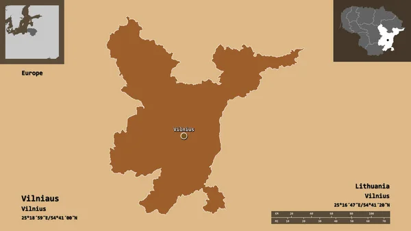
Shape of Vilniaus, county of Lithuania, and its capital. Distance scale, previews and labels. Composition of patterned textures. 3D rendering
Shape Vilniaus County Lithuania Its Capital Distance Scale Previews Labels — Stock Photo, Image
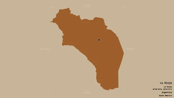
Area of La Rioja, province of Argentina, isolated on a solid background in a georeferenced bounding box. Labels. Composition of patterned textures. 3D rendering
Area Rioja Province Argentina Isolated Solid Background Georeferenced Bounding Box — Stock Photo, Image
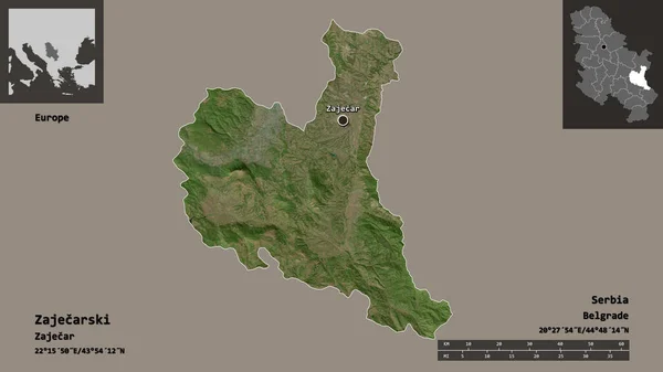
Shape of Zajecarski, district of Serbia, and its capital. Distance scale, previews and labels. Satellite imagery. 3D rendering
Shape Zajecarski District Serbia Its Capital Distance Scale Previews Labels — Stock Photo, Image
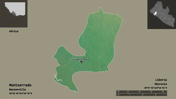
Shape of Montserrado, county of Liberia, and its capital. Distance scale, previews and labels. Topographic relief map. 3D rendering
Shape Montserrado County Liberia Its Capital Distance Scale Previews Labels — Stock Photo, Image
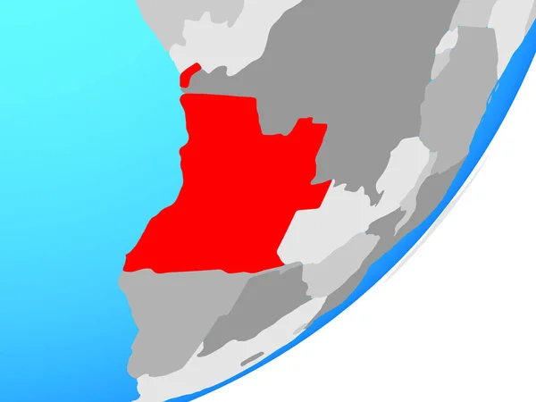
Angola on blue political globe. 3D illustration.
Angola Blue Political Globe Illustration — Stock Photo, Image
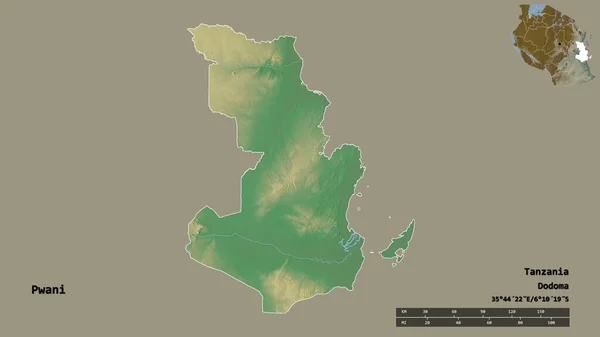
Shape of Pwani, region of Tanzania, with its capital isolated on solid background. Distance scale, region preview and labels. Topographic relief map. 3D rendering
Shape Pwani Region Tanzania Its Capital Isolated Solid Background Distance — Stock Photo, Image
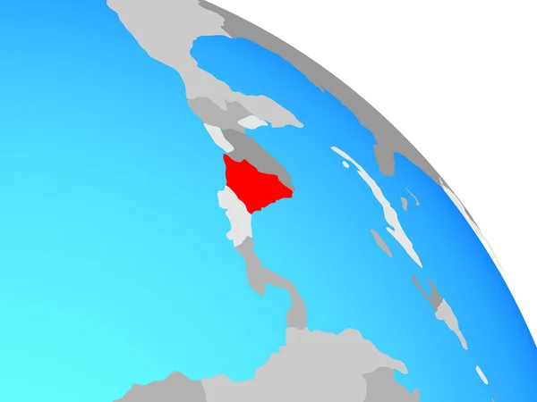
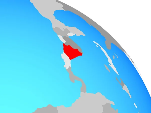
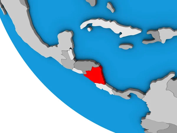
Nicaragua on simple blue political globe. 3D illustration.
Nicaragua Simple Blue Political Globe Illustration — Stock Photo, Image
Nicaragua on simple blue political globe. 3D illustration.
Nicaragua Simple Blue Political Globe Illustration — Stock Photo, Image
Nicaragua on simple blue political globe. 3D illustration.
Nicaragua Simple Blue Political Globe Illustration — Stock Photo, Image
Shape of Artemisa, province of Cuba, with its capital isolated on solid background. Distance scale, region preview and labels. Topographic relief map. 3D rendering
Shape Artemisa Province Cuba Its Capital Isolated Solid Background Distance — Stock Photo, Image
Nicaragua on simple political globe. 3D illustration.
Nicaragua Simple Political Globe Illustration — Stock Photo, Image
Nicaragua on simple political globe. 3D illustration.
Nicaragua Simple Political Globe Illustration — Stock Photo, Image
Flag of St. Francis-Sokoki band of the Missisquoi Abenaki, Vermont, USA
Flag Francis Sokoki Band Missisquoi Abenaki Vermont Usa — Stock Photo, Image
Map of Moquegua. Peru.
Map of Moquegua. Peru. — Stock Photo, Image
Coat of Sosensky 2002 Kaluga region
Coat of Sosensky 2002 Kaluga region — Stock Photo, Image
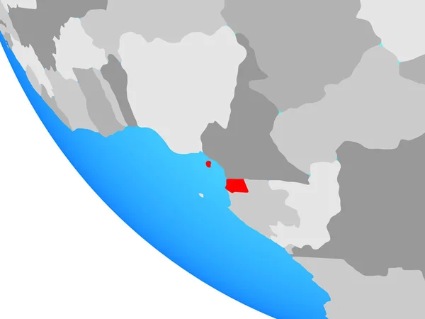
Equatorial Guinea on simple globe. 3D illustration.
Equatorial Guinea Simple Globe Illustration — Stock Photo, Image
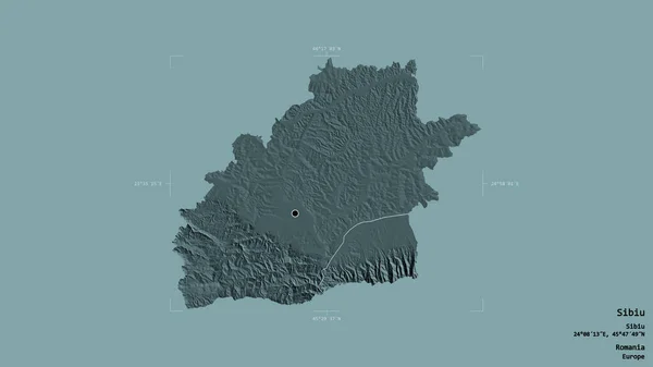
Area of Sibiu, county of Romania, isolated on a solid background in a georeferenced bounding box. Labels. Colored elevation map. 3D rendering
Area Sibiu County Romania Isolated Solid Background Georeferenced Bounding Box — Stock Photo, Image
Shape of Nabeul, governorate of Tunisia, and its capital. Distance scale, previews and labels. Topographic relief map. 3D rendering
Shape Nabeul Governorate Tunisia Its Capital Distance Scale Previews Labels — Stock Photo, Image
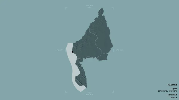
Area of Kigoma, region of Tanzania, isolated on a solid background in a georeferenced bounding box. Labels. Colored elevation map. 3D rendering
Area Kigoma Region Tanzania Isolated Solid Background Georeferenced Bounding Box — Stock Photo, Image
Bolivia on simple political 3D globe. 3D illustration.
Bolivia Simple Political Globe Illustration — Stock Photo, Image
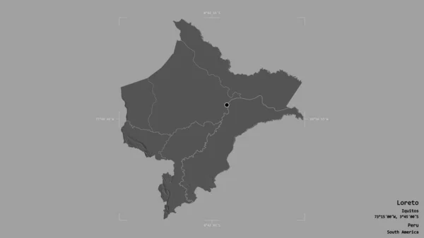
Area of Loreto, region of Peru, isolated on a solid background in a georeferenced bounding box. Labels. Bilevel elevation map. 3D rendering
Area Loreto Region Peru Isolated Solid Background Georeferenced Bounding Box — Stock Photo, Image
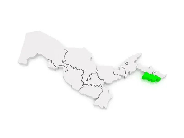
Map of Fergana region. Uzbekistan.
Map of Fergana region. Uzbekistan. — Stock Photo, Image
Area of Gilan, province of Iran, isolated on a solid background in a georeferenced bounding box. Labels. Composition of patterned textures. 3D rendering
Area Gilan Province Iran Isolated Solid Background Georeferenced Bounding Box — Stock Photo, Image
Nicaragua on simple 3D globe. 3D illustration.
Nicaragua Simple Globe Illustration — Stock Photo, Image
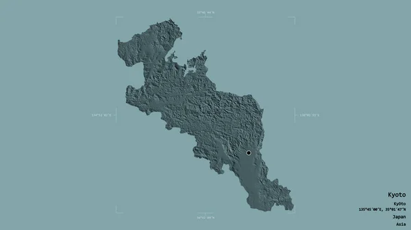
Area of Kyoto, urban prefecture of Japan, isolated on a solid background in a georeferenced bounding box. Labels. Colored elevation map. 3D rendering
Area Kyoto Urban Prefecture Japan Isolated Solid Background Georeferenced Bounding — Stock Photo, Image
Urban village flag Sudislavl. Kostroma region
Urban village flag Sudislavl. Kostroma region — Stock Photo, Image
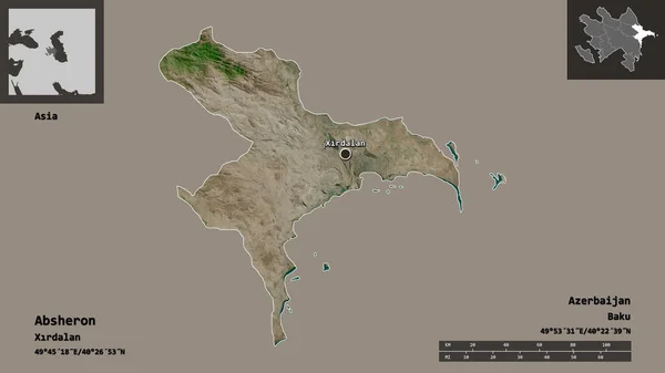
Shape of Absheron, region of Azerbaijan, and its capital. Distance scale, previews and labels. Satellite imagery. 3D rendering
Shape Absheron Region Azerbaijan Its Capital Distance Scale Previews Labels — Stock Photo, Image
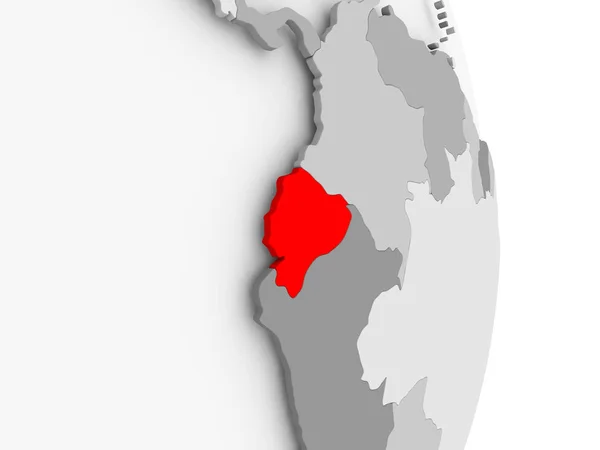
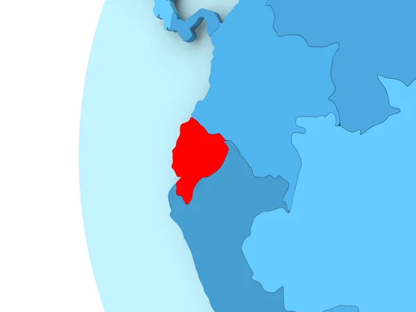
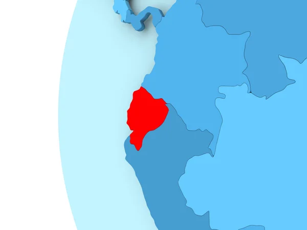
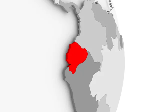
Ecuador on grey political globe
Ecuador on grey political globe — Stock Photo, Image
Ecuador on grey political globe
Ecuador on grey political globe — Stock Photo, Image
Map of Antsiranana. Madagascar.
Map of Antsiranana. Madagascar. — Stock Photo, Image
Bolivia on globe
Bolivia on globe — Stock Photo, Image
Bolivia on globe
Bolivia on globe — Stock Photo, Image
Bolivia on globe
Bolivia on globe — Stock Photo, Image
Bolivia on globe
Bolivia on globe — Stock Photo, Image
Shape of Kiambu, county of Kenya, with its capital isolated on solid background. Distance scale, region preview and labels. Satellite imagery. 3D rendering
Shape Kiambu County Kenya Its Capital Isolated Solid Background Distance — Stock Photo, Image
Blue plants summer concept template for your text or design on yellow paper background
Blue Plants Summer Concept Template Your Text Design Yellow Paper — Stock Photo, Image
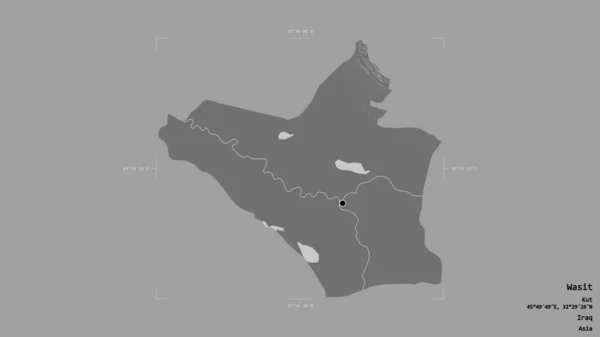
Area of Wasit, province of Iraq, isolated on a solid background in a georeferenced bounding box. Labels. Bilevel elevation map. 3D rendering
Area Wasit Province Iraq Isolated Solid Background Georeferenced Bounding Box — Stock Photo, Image
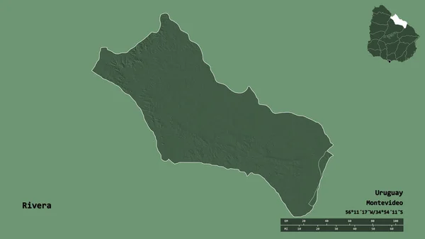
Shape of Rivera, department of Uruguay, with its capital isolated on solid background. Distance scale, region preview and labels. Colored elevation map. 3D rendering
Shape Rivera Department Uruguay Its Capital Isolated Solid Background Distance — Stock Photo, Image
Map of Ecuador
Map of Ecuador — Stock Photo, Image
Map of Ecuador
Map of Ecuador — Stock Photo, Image
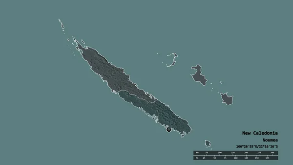
Desaturated shape of New Caledonia with its capital, main regional division and the separated Sud area. Labels. Colored elevation map. 3D rendering
Desaturated Shape New Caledonia Its Capital Main Regional Division Separated — Stock Photo, Image
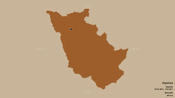
Area of Kayanza, province of Burundi, isolated on a solid background in a georeferenced bounding box. Labels. Composition of patterned textures. 3D rendering
Area Kayanza Province Burundi Isolated Solid Background Georeferenced Bounding Box — Stock Photo, Image
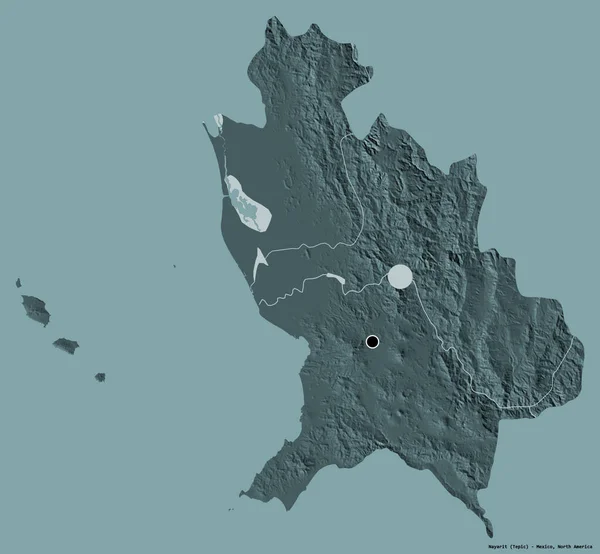
Shape of Nayarit, state of Mexico, with its capital isolated on a solid color background. Colored elevation map. 3D rendering
Shape Nayarit State Mexico Its Capital Isolated Solid Color Background — Stock Photo, Image
Shape of Chimborazo, province of Ecuador, and its capital. Distance scale, previews and labels. Composition of patterned textures. 3D rendering
Shape Chimborazo Province Ecuador Its Capital Distance Scale Previews Labels — Stock Photo, Image
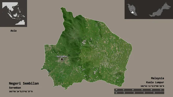
Shape of Negeri Sembilan, state of Malaysia, and its capital. Distance scale, previews and labels. Satellite imagery. 3D rendering
Shape Negeri Sembilan State Malaysia Its Capital Distance Scale Previews — Stock Photo, Image
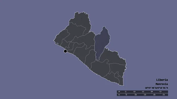
Desaturated shape of Liberia with its capital, main regional division and the separated Nimba area. Labels. Colored elevation map. 3D rendering
Desaturated Shape Liberia Its Capital Main Regional Division Separated Nimba — Stock Photo, Image
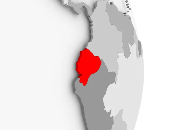
Ecuador on grey political globe
Ecuador on grey political globe — Stock Photo, Image
Ecuador on grey political globe
Ecuador on grey political globe — Stock Photo, Image
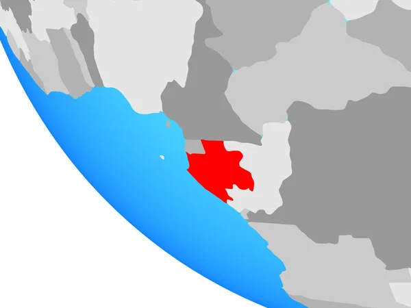
Gabon on simple globe. 3D illustration.
Gabon Simple Globe Illustration — Stock Photo, Image
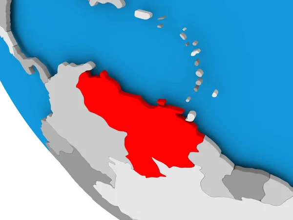
Venezuela on political globe
Venezuela on political globe — Stock Photo, Image
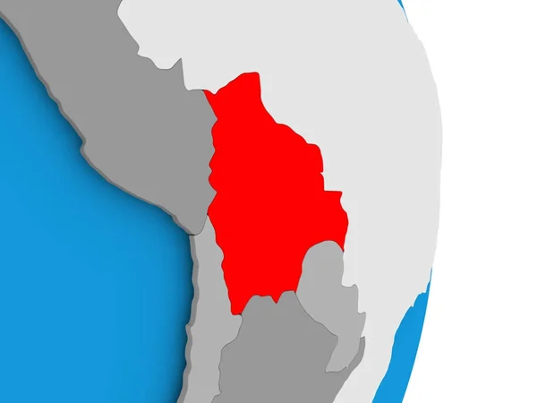
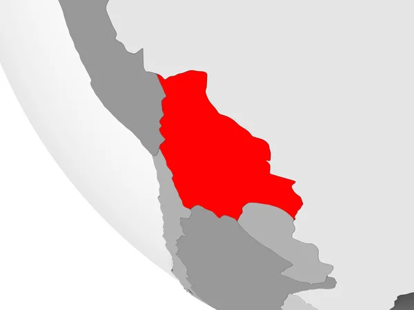
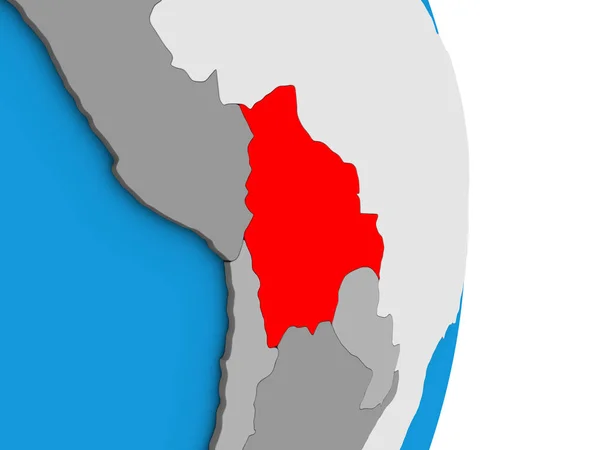
Bolivia in red on simple grey political globe with visible country borders and transparent oceans. 3D illustration.
Bolivia Red Simple Grey Political Globe Visible Country Borders Transparent — Stock Photo, Image
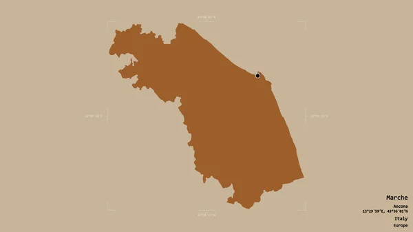
Area of Marche, region of Italy, isolated on a solid background in a georeferenced bounding box. Labels. Composition of patterned textures. 3D rendering
Area Marche Region Italy Isolated Solid Background Georeferenced Bounding Box — Stock Photo, Image
Gambia area on the administrative divisions map in the stereographic projection - raw composition of raster layers with dark glowing outline
Gambia Area Administrative Divisions Map Stereographic Projection Raw Composition Raster — Stock Photo, Image
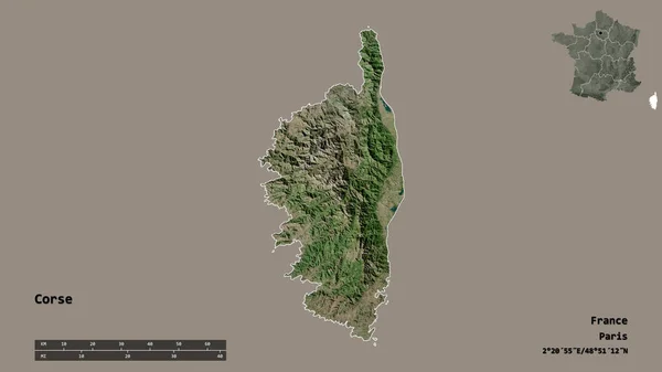
Shape of Corse, region of France, with its capital isolated on solid background. Distance scale, region preview and labels. Satellite imagery. 3D rendering
Shape Corse Region France Its Capital Isolated Solid Background Distance — Stock Photo, Image
Suriname on simple blue political globe. 3D illustration.
Suriname Simple Blue Political Globe Illustration — Stock Photo, Image
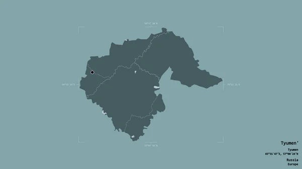
Area of Tyumen', region of Russia, isolated on a solid background in a georeferenced bounding box. Labels. Colored elevation map. 3D rendering
Area Tyumen Region Russia Isolated Solid Background Georeferenced Bounding Box — Stock Photo, Image
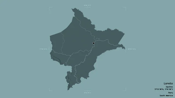
Area of Loreto, region of Peru, isolated on a solid background in a georeferenced bounding box. Labels. Colored elevation map. 3D rendering
Area Loreto Region Peru Isolated Solid Background Georeferenced Bounding Box — Stock Photo, Image
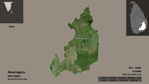
Shape of Moneragala, district of Sri Lanka, and its capital. Distance scale, previews and labels. Satellite imagery. 3D rendering
Shape Moneragala District Sri Lanka Its Capital Distance Scale Previews — Stock Photo, Image
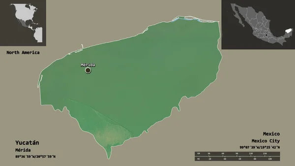
Shape of Yucatan, state of Mexico, and its capital. Distance scale, previews and labels. Topographic relief map. 3D rendering
Shape Yucatan State Mexico Its Capital Distance Scale Previews Labels — Stock Photo, Image
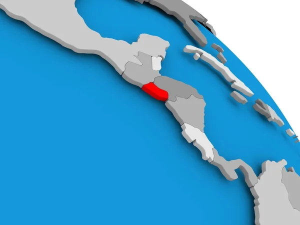
El Salvador in red on map
El Salvador in red on map — Stock Photo, Image
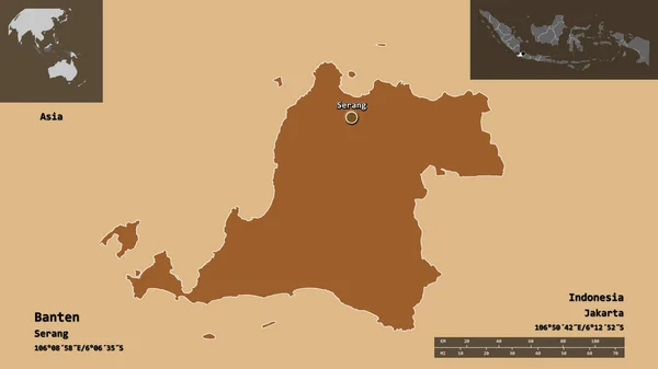
Shape of Banten, province of Indonesia, and its capital. Distance scale, previews and labels. Composition of patterned textures. 3D rendering
Shape Banten Province Indonesia Its Capital Distance Scale Previews Labels — Stock Photo, Image
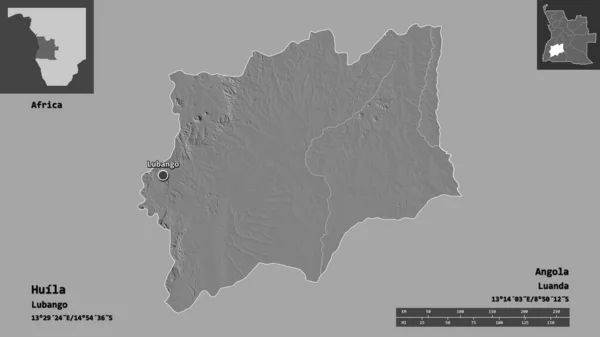
Shape of Huila, province of Angola, and its capital. Distance scale, previews and labels. Bilevel elevation map. 3D rendering
Shape Huila Province Angola Its Capital Distance Scale Previews Labels — Stock Photo, Image
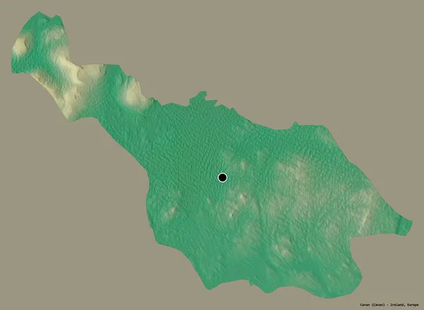
Shape of Cavan, county of Ireland, with its capital isolated on a solid color background. Topographic relief map. 3D rendering
Shape Cavan County Ireland Its Capital Isolated Solid Color Background — Stock Photo, Image
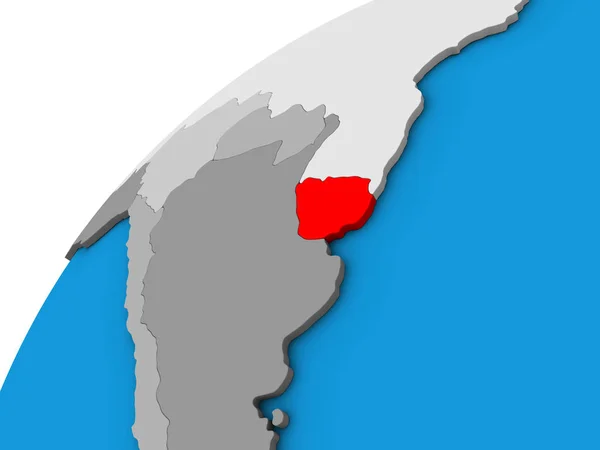
Uruguay on 3D globe. 3D illustration.
Uruguay Globe Illustration — Stock Photo, Image
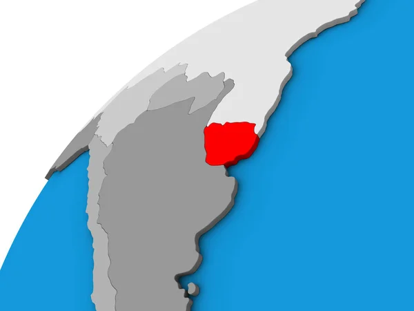
Uruguay on 3D globe. 3D illustration.
Uruguay Globe Illustration — Stock Photo, Image
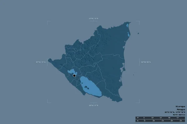
Area of Nicaragua isolated on a solid background in a georeferenced bounding box. Main regional division, distance scale, labels. Colored elevation map. 3D rendering
Area Nicaragua Isolated Solid Background Georeferenced Bounding Box Main Regional — Stock Photo, Image
Area of Amur, region of Russia, isolated on a solid background in a georeferenced bounding box. Labels. Colored elevation map. 3D rendering
Area Amur Region Russia Isolated Solid Background Georeferenced Bounding Box — Stock Photo, Image
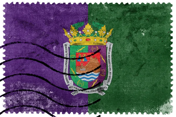
Flag of Malaga, Spain, old postage stamp
Flag of Malaga, Spain, old postage stamp — Stock Photo, Image
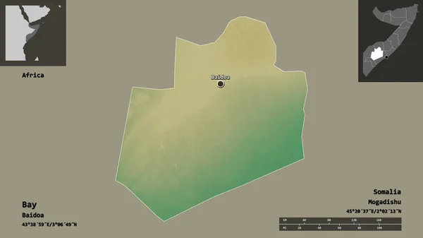
Shape of Bay, region of Somalia, and its capital. Distance scale, previews and labels. Topographic relief map. 3D rendering
Shape Bay Region Somalia Its Capital Distance Scale Previews Labels — Stock Photo, Image
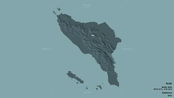
Area of Aceh, autonomous province of Indonesia, isolated on a solid background in a georeferenced bounding box. Labels. Colored elevation map. 3D rendering
Area Aceh Autonomous Province Indonesia Isolated Solid Background Georeferenced Bounding — Stock Photo, Image
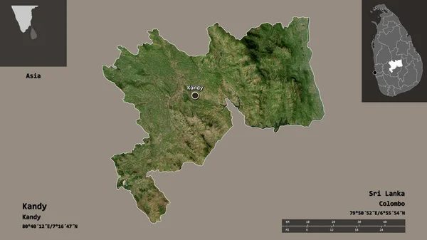
Shape of Kandy, district of Sri Lanka, and its capital. Distance scale, previews and labels. Satellite imagery. 3D rendering
Shape Kandy District Sri Lanka Its Capital Distance Scale Previews — Stock Photo, Image
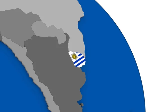
Uruguay and its flag on globe
Uruguay and its flag on globe — Stock Photo, Image
Flag of West Nusa Tenggara, Indonesia
Flag West Nusa Tenggara Indonesia — Stock Photo, Image
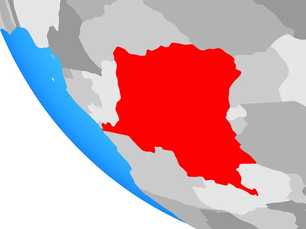
Dem Rep of Congo on simple globe. 3D illustration.
Dem Rep Congo Simple Globe Illustration — Stock Photo, Image
Coat of arms of Aniva district. Sakhalin region
Coat Arms Aniva District Sakhalin Region — Stock Photo, Image
Shape of Pristina, district of Kosovo, and its capital. Distance scale, previews and labels. Satellite imagery. 3D rendering
Shape Pristina District Kosovo Its Capital Distance Scale Previews Labels — Stock Photo, Image
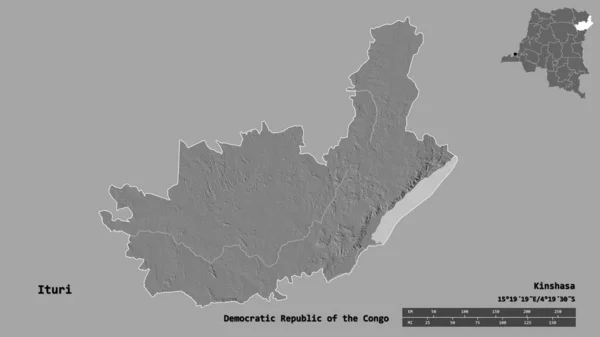
Shape of Ituri, province of Democratic Republic of the Congo, with its capital isolated on solid background. Distance scale, region preview and labels. Bilevel elevation map. 3D rendering
Shape Ituri Province Democratic Republic Congo Its Capital Isolated Solid — Stock Photo, Image
Map of Iran 3D drawing icon - 3D illustration for background and abstract
Map Iran Drawing Icon Illustration Background Abstract — Stock Photo, Image
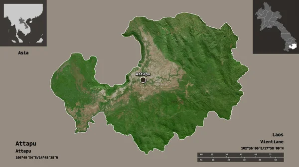
Shape of Attapu, province of Laos, and its capital. Distance scale, previews and labels. Satellite imagery. 3D rendering
Shape Attapu Province Laos Its Capital Distance Scale Previews Labels — Stock Photo, Image
Coat of arms of the city of Myski. Kemerovo region
Coat of arms of the city of Myski. Kemerovo region — Stock Photo, Image
Manchester, parish of Jamaica. Sentinel-2 satellite imagery. Shape isolated on solid background with informative overlays. Contains modified Copernicus Sentinel data
Manchester Parish Jamaica Sentinel Satellite Imagery Shape Isolated Solid Background — Stock Photo, Image

Stunning UVita Images for All Your Projects

If you're looking for breathtaking images that showcase the natural beauty of UVita, look no further than our stock image collection. We offer an extensive selection of high-quality JPG, AI, and EPS files that capture the unique essence of this Costa Rican paradise. Whether you're creating a travel brochure, website, or social media post, our UVita images will help you elevate your project to the next level.

Types of UVita Images Available

Our UVita image collection covers a wide range of subjects, from stunning beaches to lush jungles and everything in between. We offer aerial shots that capture the raw, untouched beauty of the landscape, as well as close-up shots that showcase the intricate details of flora and fauna. In addition, we have images of local towns, restaurants, and markets, providing a complete picture of this vibrant community. With such a broad range of options, you can find the perfect image to match your project's unique aesthetic.

Where You Can Use Our UVita Images

Our UVita images are perfect for a variety of projects, including travel brochures, magazines, blogs, and websites. Use them to advertise your own business or showcase the beauty of UVita to potential tourists. You can also use them for social media posts, email newsletters, and other marketing materials to promote your brand. No matter where you use our images, they will help you tell a visual story that captures the essence of UVita.

How to Use UVita Images Effectively

When it comes to choosing the right UVita image for your project, it's important to consider several factors. First, make sure the image matches the overall tone and style of your project. If you're creating a luxurious travel brochure, for example, you'll want images that showcase the upscale resorts and spas that UVita has to offer. Second, consider the placement of the image within your design. An image that is too busy or distracting can detract from your message, so make sure it complements your text and other design elements. Finally, don't be afraid to experiment with different types of images to see what works best for your specific project.

In conclusion, our UVita image collection offers a stunning and diverse range of visuals that can enhance the beauty of any project. Whether you're a designer or marketer, our stock images provide a professional quality that is unmatched. With our extensive selection and practical advice, you can confidently choose the perfect UVita image to captivate your audience and tell your story.