Wisconsin map Stock Photos

100,000 Wisconsin map pictures are available under a royalty-free license

  • Best Match
  • Fresh
  • Popular
1-100 of 100,000
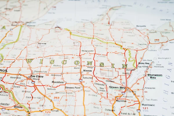
Wisconsin on the map
Wisconsin Map — Stock Photo, Image
Green bay city pin on the map
Green bay city pin on the map — Stock Photo, Image
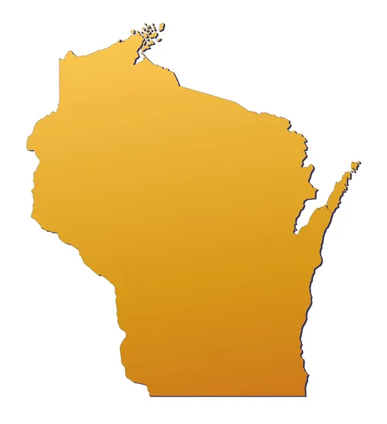
Map of Wisconsin geographical map
Map Wisconsin Geographical Map — Stock Photo, Image
Watercolor wash for a background
Watercolor wash for a background — Stock Photo, Image
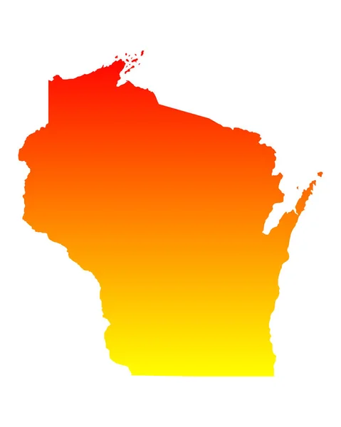
Wisconsin (USA) map
Wisconsin (USA) map — Stock Photo, Image
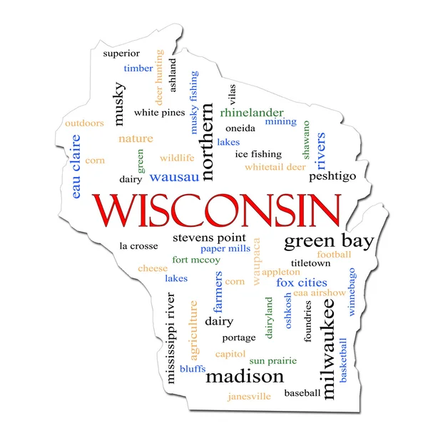
Wisconsin Map Word Cloud Concept
Wisconsin Map Word Cloud Concept — Stock Photo, Image
Three-dimensional map of Wisconsin. USA.
Three-dimensional map of Wisconsin. USA. — Stock Photo, Image
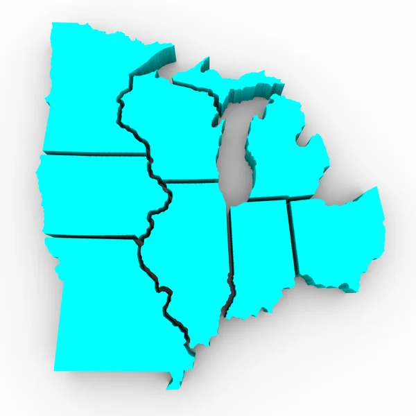
Great Lakes Region of States - 3d Map
Great Lakes Region of States - 3d Map — Stock Photo, Image
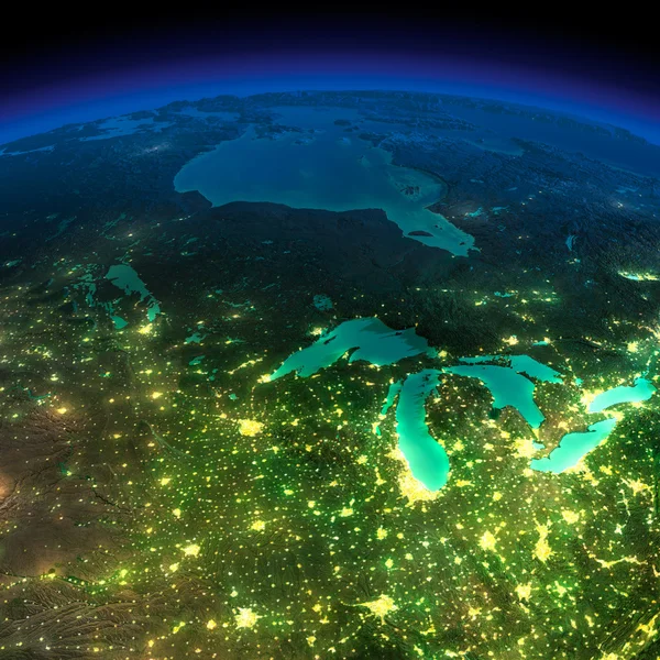
Night Earth. A piece of America - the northern U.S. states and C
Night Earth. A piece of America - the northern U.S. states and C — Stock Photo, Image
Vintage wisconsin map
Vintage wisconsin map — Stock Photo, Image
Wisconsin welcomes you sign
Wisconsin welcomes you sign — Stock Photo, Image
Sahel, region of Burkina Faso. Open Street Map. Corner auxiliary location maps
Sahel Region Burkina Faso Open Street Map Corner Auxiliary Location — Stock Photo, Image
Map of Crete on weathered concrete
Map Crete Weathered Concrete — Stock Photo, Image
Map of Rhode Island
Map of Rhode Island — Stock Photo, Image
Fes-Meknes, region of Morocco. Open Street Map. Corner auxiliary location maps
Fes Meknes Region Morocco Open Street Map Corner Auxiliary Location — Stock Photo, Image
Shape of Sucumbios, province of Ecuador, with its capital isolated on white background. Composition of patterned textures. 3D rendering
Shape Sucumbios Province Ecuador Its Capital Isolated White Background Composition — Stock Photo, Image
Polygonal 2D Mesh High Detail Raster Map of Namibia Abstractions
Polygonal 2D Mesh High Detail Raster Map of Namibia Abstractions — Stock Photo, Image
One piece of torn paper on white
One Piece Torn Paper White — Stock Photo, Image
Map of Arkansas
Map of Arkansas — Stock Photo, Image
Northern Ireland map with gray tone on white background,illustration,textured , Symbols of Northern Ireland
Northern Ireland Map Gray Tone White Background Illustration Textured Symbols — Stock Photo, Image
Northern Ireland map with gray tone on white background,illustration,textured , Symbols of Northern Ireland
Northern Ireland Map Gray Tone White Background Illustration Textured Symbols — Stock Photo, Image
Map of Namibia on poppy seeds
Map of Namibia on poppy seeds — Stock Photo, Image
Map Namibia. Isolated Illustration. Black on White background.
Map Namibia Isolated Illustration Black White Background — Stock Photo, Image
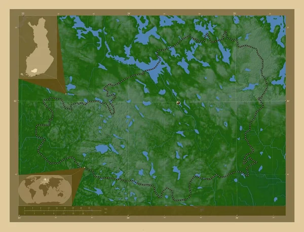
Southern Savonia, region of Finland. Colored elevation map with lakes and rivers. Corner auxiliary location maps
Southern Savonia Region Finland Colored Elevation Map Lakes Rivers Corner — Stock Photo, Image
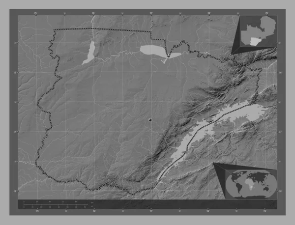
Southern, region of Zambia. Bilevel elevation map with lakes and rivers. Corner auxiliary location maps
Southern Region Zambia Bilevel Elevation Map Lakes Rivers Corner Auxiliary — Stock Photo, Image
Western Sahara outline map with shadow
Western Sahara outline map with shadow — Stock Photo, Image
Southern Savonia, region of Finland. Colored elevation map with lakes and rivers. Locations of major cities of the region. Corner auxiliary location maps
Southern Savonia Region Finland Colored Elevation Map Lakes Rivers Locations — Stock Photo, Image
Map of Arkansas
Map of Arkansas — Stock Photo, Image
Polygonal Network Mesh High Detail Raster Map of Tanzania Abstractions
Polygonal Network Mesh High Detail Raster Map of Tanzania Abstractions — Stock Photo, Image
Map Namibia. Isolated Illustration. Black on White background.
Map Namibia Isolated Illustration Black White Background — Stock Photo, Image
Map of Namibia on weathered concrete
Map Namibia Weathered Concrete — Stock Photo, Image
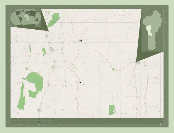
Donga, department of Benin. Open Street Map. Locations of major cities of the region. Corner auxiliary location maps
Donga Department Benin Open Street Map Locations Major Cities Region — Stock Photo, Image
Three-dimensional map of Finland.
Three-dimensional map of Finland. — Stock Photo, Image
A sheet of paper torn to pieces isolated on white background
Sheet Paper Torn Pieces Isolated White Background — Stock Photo, Image
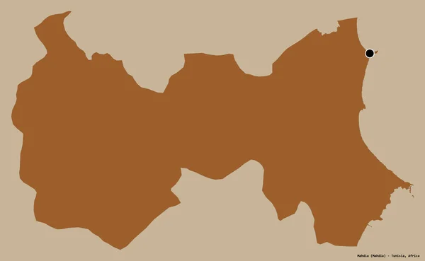
Shape of Mahdia, governorate of Tunisia, with its capital isolated on a solid color background. Composition of patterned textures. 3D rendering
Shape Mahdia Governorate Tunisia Its Capital Isolated Solid Color Background — Stock Photo, Image
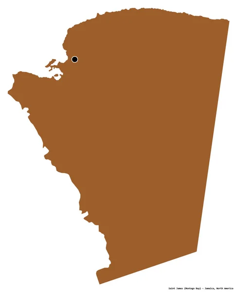
Shape of Saint James, parish of Jamaica, with its capital isolated on white background. Composition of patterned textures. 3D rendering
Shape Saint James Parish Jamaica Its Capital Isolated White Background — Stock Photo, Image
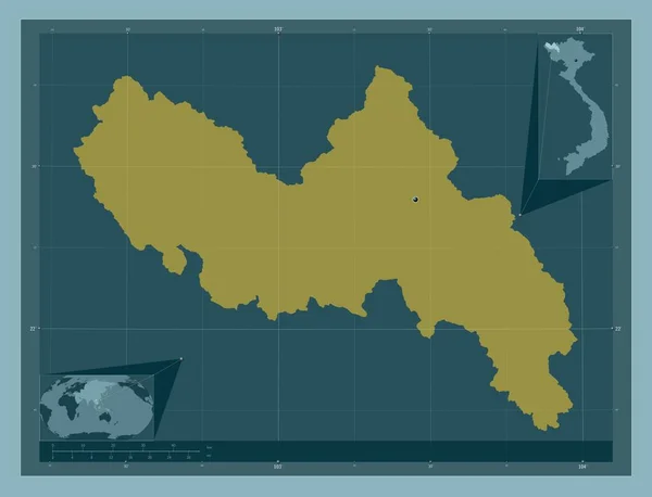
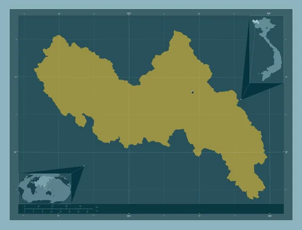
Lai Chau, province of Vietnam. Solid color shape. Corner auxiliary location maps
Lai Chau Province Vietnam Solid Color Shape Corner Auxiliary Location — Stock Photo, Image
Lai Chau, province of Vietnam. Solid color shape. Locations of major cities of the region. Corner auxiliary location maps
Lai Chau Province Vietnam Solid Color Shape Locations Major Cities — Stock Photo, Image
One piece of torn paper
One Piece Torn Paper — Stock Photo, Image
Botswana antelope
Botswana Antelope — Stock Photo, Image
Map of Iowa
Map of Iowa — Stock Photo, Image
Boucle du Mouhoun, region of Burkina Faso. Open Street Map. Locations of major cities of the region. Corner auxiliary location maps
Boucle Mouhoun Region Burkina Faso Open Street Map Locations Major — Stock Photo, Image
Map of Namibia.
Map of Namibia. — Stock Photo, Image
Polygonal Wire Frame Mesh High Resolution Raster Map of Assam State Abstractions
Polygonal Wire Frame Mesh High Resolution Raster Map of Assam State Abstractions — Stock Photo, Image
Shape of Karpos, municipality of Macedonia, with its capital isolated on white background. Composition of patterned textures. 3D rendering
Shape Karpos Municipality Macedonia Its Capital Isolated White Background Composition — Stock Photo, Image
Central Finland, region of Finland. Elevation map colored in wiki style with lakes and rivers. Corner auxiliary location maps
Central Finland Region Finland Elevation Map Colored Wiki Style Lakes — Stock Photo, Image
Blue USA map on white background, 3D rendering
Blue Usa Map White Background Rendering — Stock Photo, Image
Map of North America on poppy seeds
Map of North America on poppy seeds — Stock Photo, Image
Polygonal Wire Frame Mesh High Detail Raster Map of Nuku Hiva Island Abstractions
Polygonal Wire Frame Mesh High Detail Raster Map of Nuku Hiva Island Abstractions — Stock Photo, Image
Shape of Alto Paraguay, department of Paraguay, with its capital isolated on white background. Composition of patterned textures. 3D rendering
Shape Alto Paraguay Department Paraguay Its Capital Isolated White Background — Stock Photo, Image
The 2D State of Delaware outline map on white background
State Delaware Outline Map White Background — Stock Photo, Image
Map of Newfoundland and Labrador on old linen
Map of Newfoundland and Labrador on old linen — Stock Photo, Image
Polygonal Carcass Mesh High Detail Raster Map of Quebec Province Abstractions
Polygonal Carcass Mesh High Detail Raster Map of Quebec Province Abstractions — Stock Photo, Image
Sahel, region of Burkina Faso. Open Street Map. Locations of major cities of the region. Corner auxiliary location maps
Sahel Region Burkina Faso Open Street Map Locations Major Cities — Stock Photo, Image
Shape of Yobe, state of Nigeria, with its capital isolated on white background. Composition of patterned textures. 3D rendering
Shape Yobe State Nigeria Its Capital Isolated White Background Composition — Stock Photo, Image
Map of Manitoba
Map of Manitoba — Stock Photo, Image
Three-dimensional map of France.
Three-dimensional map of France. — Stock Photo, Image
Isolated map of the state of Mecklenburg Vorpommern - Germany
Isolated map of the state of Mecklenburg Vorpommern - Germany — Stock Photo, Image
Crocodile Costa Rica
Crocodile Costa Rica — Stock Photo, Image
The 2D State of Kansaoutline map on white background
State Kansaoutline Map White Background — Stock Photo, Image
Polygonal Carcass Mesh High Resolution Raster Map of Cameroon Abstractions
Polygonal Carcass Mesh High Resolution Raster Map of Cameroon Abstractions — Stock Photo, Image
Benin map with drawn lines and blue watercolor illustration
Benin Map Drawn Lines Blue Watercolor Illustration — Stock Photo, Image
Map of Senegal.
Map of Senegal. — Stock Photo, Image
Polygonal Wire Frame Mesh High Detail Raster Map of New Brunswick Province Abstractions
Polygonal Wire Frame Mesh High Detail Raster Map of New Brunswick Province Abstractions — Stock Photo, Image
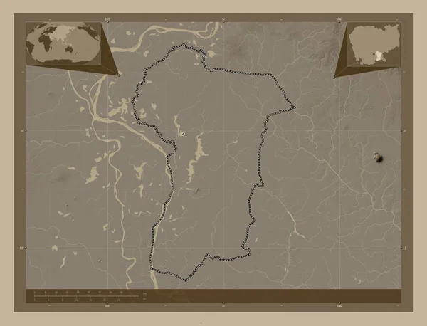
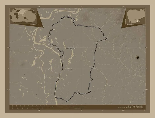
Prey Veng, province of Cambodia. Elevation map colored in sepia tones with lakes and rivers. Corner auxiliary location maps
Prey Veng Province Cambodia Elevation Map Colored Sepia Tones Lakes — Stock Photo, Image
Three-dimensional map of France.
Three-dimensional map of France. — Stock Photo, Image
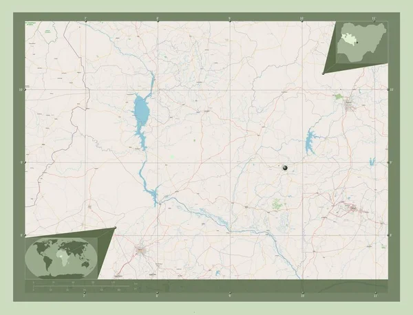
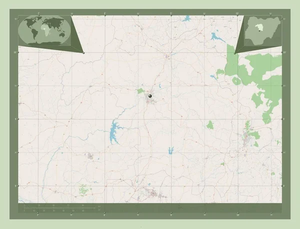
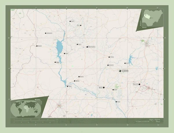
Niger, state of Nigeria. Open Street Map. Corner auxiliary location maps
Niger State Nigeria Open Street Map Corner Auxiliary Location Maps — Stock Photo, Image
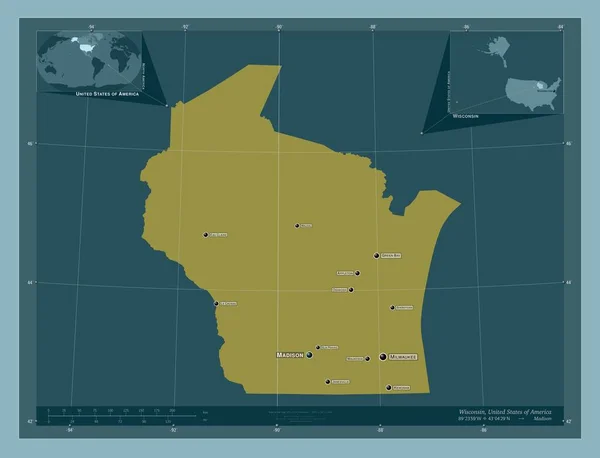
Wisconsin, state of United States of America. Solid color shape. Locations and names of major cities of the region. Corner auxiliary location maps
Wisconsin State United States America Solid Color Shape Locations Names — Stock Photo, Image
Prey Veng, province of Cambodia. Elevation map colored in sepia tones with lakes and rivers. Locations of major cities of the region. Corner auxiliary location maps
Prey Veng Province Cambodia Elevation Map Colored Sepia Tones Lakes — Stock Photo, Image
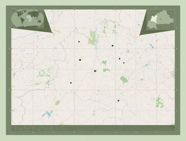
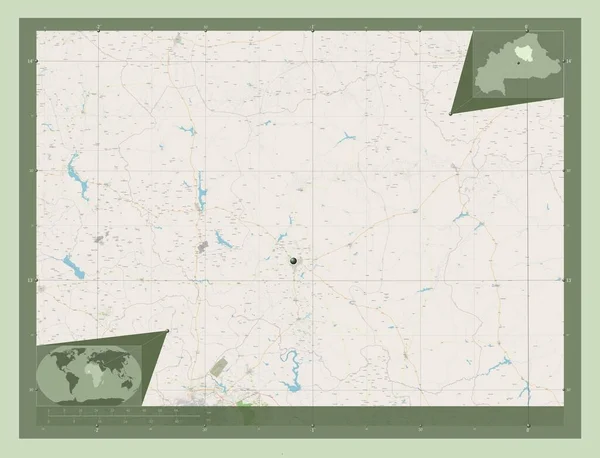
Boucle du Mouhoun, region of Burkina Faso. Open Street Map. Corner auxiliary location maps
Boucle Mouhoun Region Burkina Faso Open Street Map Corner Auxiliary — Stock Photo, Image
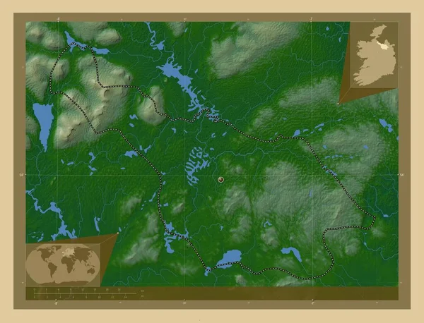
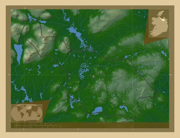
Cavan, county of Ireland. Colored elevation map with lakes and rivers. Corner auxiliary location maps
Cavan County Ireland Colored Elevation Map Lakes Rivers Corner Auxiliary — Stock Photo, Image
Central Finland, region of Finland. Elevation map colored in wiki style with lakes and rivers. Locations and names of major cities of the region. Corner auxiliary location maps
Central Finland Region Finland Elevation Map Colored Wiki Style Lakes — Stock Photo, Image
Tavastia Proper, region of Finland. Colored elevation map with lakes and rivers. Corner auxiliary location maps
Tavastia Proper Region Finland Colored Elevation Map Lakes Rivers Corner — Stock Photo, Image
Centre-Nord, region of Burkina Faso. Open Street Map. Corner auxiliary location maps
Centre Nord Region Burkina Faso Open Street Map Corner Auxiliary — Stock Photo, Image
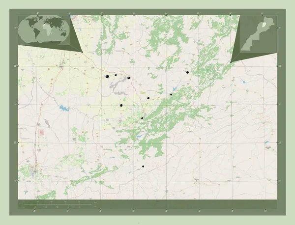
Beni Mellal-Khenifra, region of Morocco. Open Street Map. Locations of major cities of the region. Corner auxiliary location maps
Beni Mellal Khenifra Region Morocco Open Street Map Locations Major — Stock Photo, Image
Republic of Guatemala map
Republic of Guatemala map — Stock Photo, Image
A illustration of the bolivia map
A illustration of the bolivia map — Stock Photo, Image
Kaduna, state of Nigeria. Open Street Map. Corner auxiliary location maps
Kaduna State Nigeria Open Street Map Corner Auxiliary Location Maps — Stock Photo, Image
Prey Veng, province of Cambodia. Elevation map colored in sepia tones with lakes and rivers. Locations and names of major cities of the region. Corner auxiliary location maps
Prey Veng Province Cambodia Elevation Map Colored Sepia Tones Lakes — Stock Photo, Image
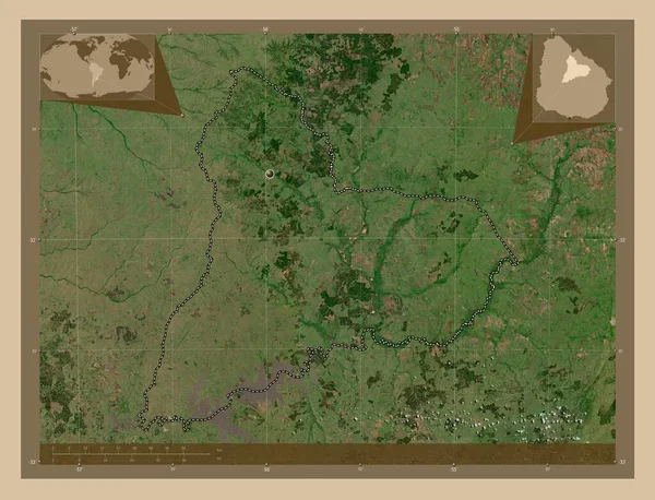
Tacuarembo, department of Uruguay. Low resolution satellite map. Corner auxiliary location maps
Tacuarembo Department Uruguay Low Resolution Satellite Map Corner Auxiliary Location — Stock Photo, Image
Map of Olomouc. Czech Republic.
Map of Olomouc. Czech Republic. — Stock Photo, Image
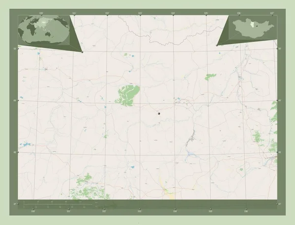
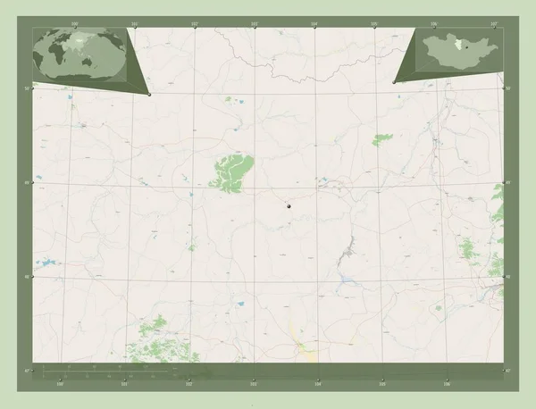
Bulgan, province of Mongolia. Open Street Map. Corner auxiliary location maps
Bulgan Province Mongolia Open Street Map Corner Auxiliary Location Maps — Stock Photo, Image
Bulgan, province of Mongolia. Open Street Map. Locations of major cities of the region. Corner auxiliary location maps
Bulgan Province Mongolia Open Street Map Locations Major Cities Region — Stock Photo, Image
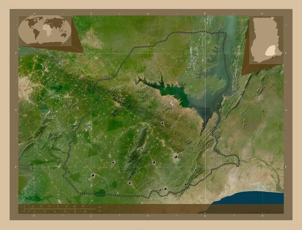
Eastern, region of Ghana. Low resolution satellite map. Locations of major cities of the region. Corner auxiliary location maps
Eastern Region Ghana Low Resolution Satellite Map Locations Major Cities — Stock Photo, Image
White paper ripped message torn
White paper ripped message torn — Stock Photo, Image
Map of Angola.
Map of Angola. — Stock Photo, Image
Kilt like style in art-deco retro colours of grey beige and red cutout patterns and geometric shapes
Kilt Style Art Deco Retro Colours Grey Beige Red Cutout — Stock Photo, Image
Kilt like style in art-deco retro colours of grey beige and red cutout patterns and geometric shapes
Kilt Style Art Deco Retro Colours Grey Beige Red Cutout — Stock Photo, Image
Cavan, county of Ireland. Colored elevation map with lakes and rivers. Locations of major cities of the region. Corner auxiliary location maps
Cavan County Ireland Colored Elevation Map Lakes Rivers Locations Major — Stock Photo, Image
Map of Roraima on weathered wood
Map Roraima Weathered Wood — Stock Photo, Image
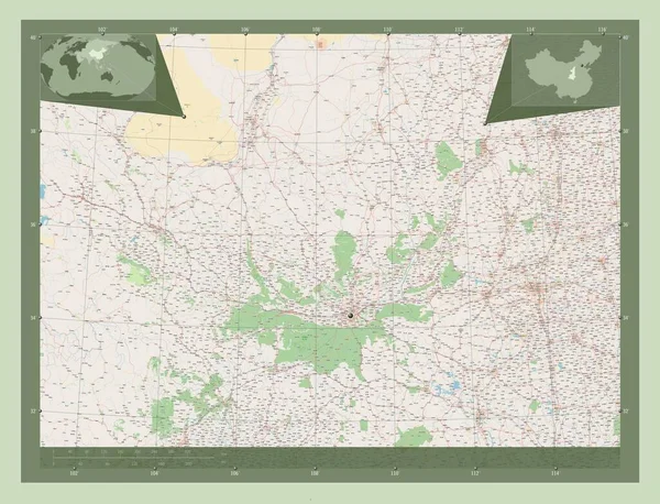
Shaanxi, province of China. Open Street Map. Corner auxiliary location maps
Shaanxi Province China Open Street Map Corner Auxiliary Location Maps — Stock Photo, Image
White mask of the South American tectonic plate on the black background. Van der Grinten I projection (oblique transformation). Compositing tool
White Mask South American Tectonic Plate Black Background Van Der — Stock Photo, Image
Background with an exquisite mix of colors, textures and interesting patterns
Background Exquisite Mix Colors Textures Interesting Patterns — Stock Photo, Image
State of Vermont
State of Vermont — Stock Photo, Image
Map of Tanzania
Map of Tanzania — Stock Photo, Image
Map of Gambia.
Map of Gambia. — Stock Photo, Image
Niger, state of Nigeria. Open Street Map. Locations and names of major cities of the region. Corner auxiliary location maps
Niger State Nigeria Open Street Map Locations Names Major Cities — Stock Photo, Image
Shape of Oueme, department of Benin, with its capital isolated on white background. Composition of patterned textures. 3D rendering
Shape Oueme Department Benin Its Capital Isolated White Background Composition — Stock Photo, Image

Wisconsin Map Images: Discover the Perfect Visual for Your Project

Are you in search of high-quality Wisconsin map images to enhance your project? Look no further! Our extensive collection of stock images offers a wide range of options to suit your needs. Whether you're working on a website, brochure, or presentation, our curated selection of JPG, AI, and EPS files will provide the perfect visual representation of Wisconsin's geography. With the top keyword "Wisconsin map images" appearing at least 5 times throughout this page, we've got you covered!

1. Aerial Shots: Capture Wisconsin's Majesty from Above

Immerse your audience in the breathtaking beauty of Wisconsin with our aerial shots. These images, available in JPG format, showcase the state's diverse landscapes from a unique perspective. Whether you're highlighting the rolling hills of the Driftless Area or the stunning shores of Lake Michigan, aerial shots add a touch of grandeur to any project. Use these stunning visuals in travel brochures, websites, or real estate listings to showcase the natural splendor of this remarkable state.

2. County Maps: Navigate Wisconsin with Confidence

When precision and clarity are paramount, our collection of Wisconsin county maps is the ideal choice. Available in AI and EPS formats, these maps provide detailed outlines and labels of all 72 counties in the state. Whether you're creating an educational resource, a business report, or a community event flyer, incorporating a county map will ensure your audience can easily locate and understand relevant locations. Make informed decisions about regional targeting or showcase demographic information with these accurate and versatile visuals.

3. City Skylines: Showcasing Wisconsin's Urban Landscape

For projects focused on Wisconsin's vibrant cities, our selection of city skyline images is perfect for capturing the bustling energy and unique architecture. Available in JPG format, these visuals entail the stunning horizons of Milwaukee, Madison, Green Bay, and other major urban centers. Whether you're creating a travel guide, a promotional poster, or a website header, city skylines provide a visually striking introduction to Wisconsin's urban appeal. Utilize these images to set the tone for your project and emphasize the state's dynamic cityscapes.

4. Natural Wonders: Showcase Wisconsin's Outdoor Splendor

Wisconsin is renowned for its natural wonders, and our collection of images allows you to bring these sights directly to your audience. Whether it's the serene beauty of Devil's Lake, the majesty of the Apostle Islands, or the tranquility of the Door County seashore, our JPG images showcase Wisconsin's outdoor splendor in remarkable detail. Incorporate these visuals into nature-focused websites, travel brochures, or environmental awareness campaigns to remind viewers of the state's rich and diverse ecosystems. Engage your audience with the awe-inspiring landscapes that make Wisconsin truly special.

When selecting the right image for your project, it's essential to consider the purpose, target audience, and overall theme. For informative or educational projects, using county maps or aerial shots can provide a clear and accurate representation of Wisconsin's geography. On the other hand, city skylines and natural wonder images are ideal for promotional materials or projects aiming to evoke a strong emotional response.
Remember to ensure the chosen image's resolution fits the intended purpose. Higher resolution options are recommended for print materials, while web-based projects can utilize slightly lower resolution files to optimize loading times without sacrificing visual quality. Additionally, consider the color scheme and style of your project to ensure the chosen image seamlessly integrates and enhances the overall design.

With our extensive collection of Wisconsin map images, you can confidently elevate your projects and captivate your audience. Download our premium stock images in JPG, AI, or EPS formats to showcase the diversity and beauty of Wisconsin. Let your visuals paint a vivid picture and leave a lasting impression.