Norway map Stock Photos

100,000 Norway map pictures are available under a royalty-free license

  • Best Match
  • Fresh
  • Popular
1-100 of 100,000
Detailed Earth. United Kingdom and the North Sea
Detailed Earth. United Kingdom and the North Sea — Stock Photo, Image
Norway map card paper 3D natural raster
Norway map card paper 3D natural raster — Stock Photo, Image
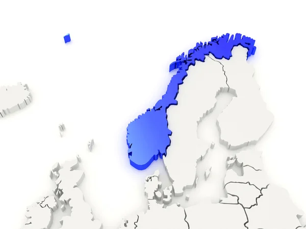
Map of Europe and Norway.
Map of Europe and Norway. — Stock Photo, Image
Map of Norway
Map of Norway — Stock Photo, Image
Norway outline map with shadow
Norway outline map with shadow — Stock Photo, Image
Norway map glass card paper 3D raster blank
Norway map glass card paper 3D raster blank — Stock Photo, Image
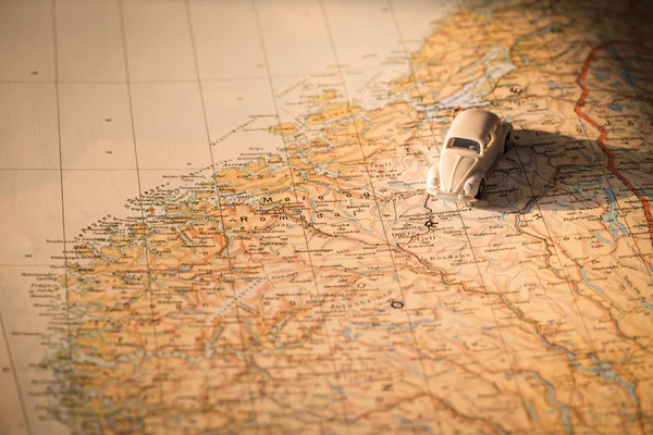
Miniature car on the Norway map, concept of holiday trip
Miniature Car Norway Map Concept Holiday Trip — Stock Photo, Image
Norway map on a white background
Norway map on a white background — Stock Photo, Image
Norway
Norway — Stock Photo, Image
Norway map multicultural group of young people integration diver
Norway map multicultural group of young people integration diver — Stock Photo, Image
Close-up of San Marino and its location in the region and in the center of a large-scale world map. Satellite imagery
Close San Marino Its Location Region Center Large Scale World — Stock Photo, Image
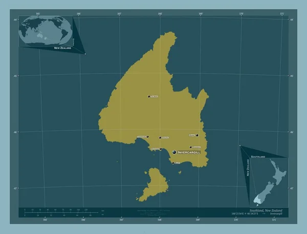
Southland, regional council of New Zealand. Solid color shape. Locations and names of major cities of the region. Corner auxiliary location maps
Southland Regional Council New Zealand Solid Color Shape Locations Names — Stock Photo, Image
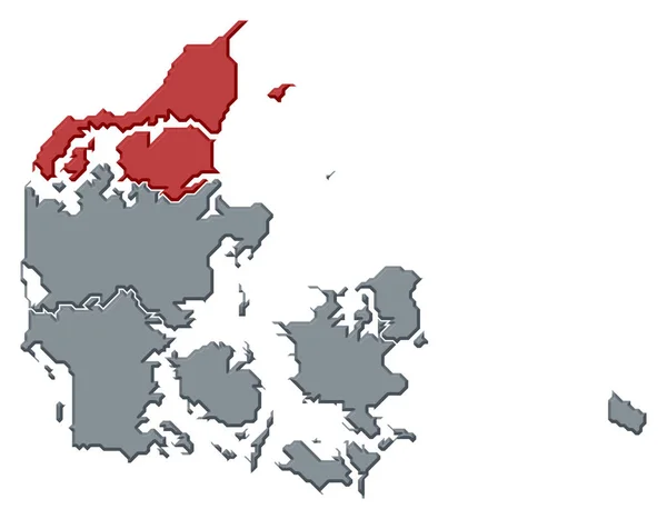
Political map of Danmark with the several regions where North Denmark is highlighted.
Political Map Danmark Several Regions North Denmark Highlighted — Stock Photo, Image
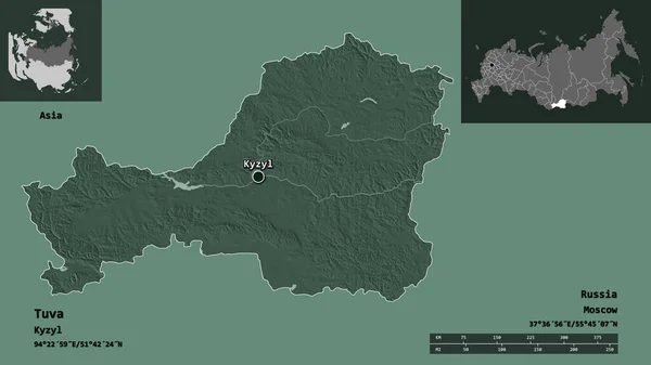
Shape of Tuva, republic of Russia, and its capital. Distance scale, previews and labels. Colored elevation map. 3D rendering
Shape Tuva Republic Russia Its Capital Distance Scale Previews Labels — Stock Photo, Image
Map of Denmark filled with white color
Map Denmark Filled White Color — Stock Photo, Image
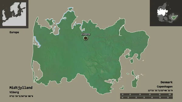
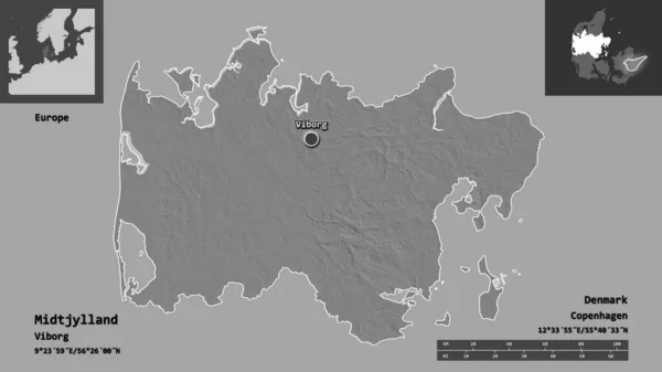
Shape of Midtjylland, region of Denmark, and its capital. Distance scale, previews and labels. Topographic relief map. 3D rendering
Shape Midtjylland Region Denmark Its Capital Distance Scale Previews Labels — Stock Photo, Image
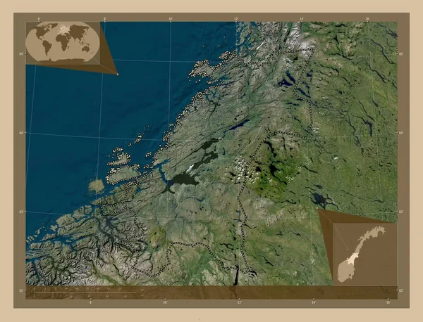
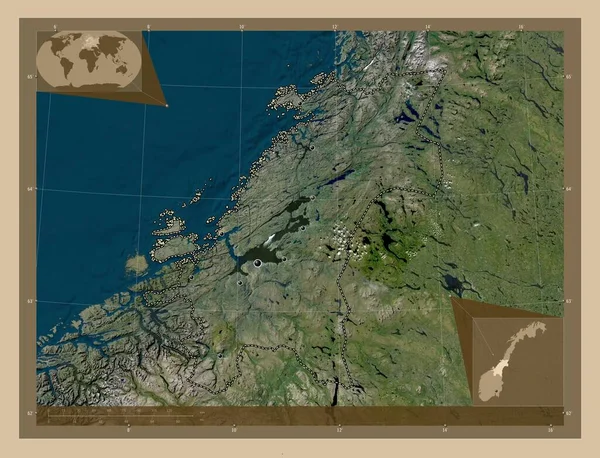
Trndelag, county of Norway. Low resolution satellite map. Corner auxiliary location maps
Trndelag County Norway Low Resolution Satellite Map Corner Auxiliary Location — Stock Photo, Image
Imaginary map with green continents, blue ocean. Map for banner, poster, print, cover or wall decoration. Fictional country map.
Imaginary Map Green Continents Blue Ocean Map Banner Poster Print — Stock Photo, Image
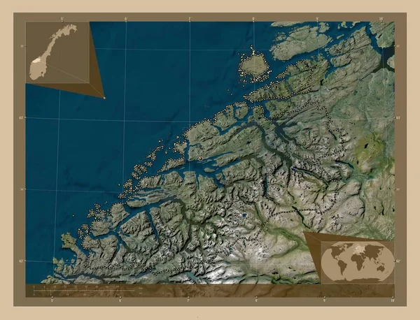
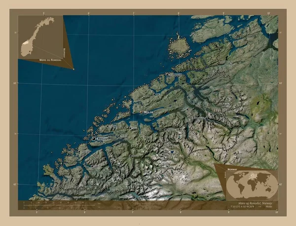
Mre og Romsdal, county of Norway. Low resolution satellite map. Corner auxiliary location maps
Mre Romsdal County Norway Low Resolution Satellite Map Corner Auxiliary — Stock Photo, Image
Shape of Orel, region of Russia, and its capital. Distance scale, previews and labels. Colored elevation map. 3D rendering
Shape Orel Region Russia Its Capital Distance Scale Previews Labels — Stock Photo, Image
Map Saint Vincent and the Grenadines. Isolated Illustration. Black on White background.
Map Saint Vincent Grenadines Isolated Illustration Black White Background — Stock Photo, Image
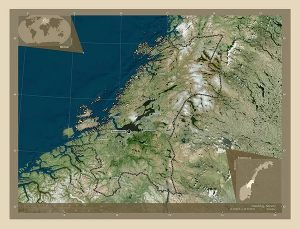
Trndelag, county of Norway. High resolution satellite map. Locations and names of major cities of the region. Corner auxiliary location maps
Trndelag County Norway High Resolution Satellite Map Locations Names Major — Stock Photo, Image
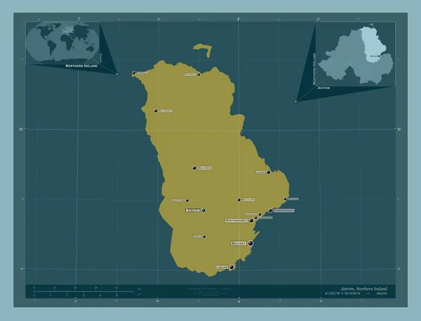
Antrim, region of Northern Ireland. Solid color shape. Locations and names of major cities of the region. Corner auxiliary location maps
Antrim Region Northern Ireland Solid Color Shape Locations Names Major — Stock Photo, Image
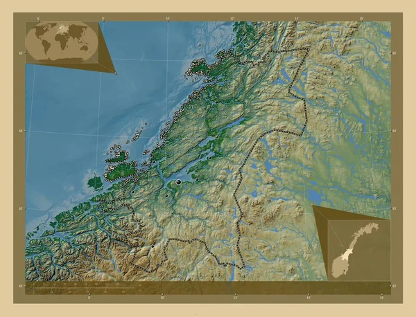
Trndelag, county of Norway. Colored elevation map with lakes and rivers. Corner auxiliary location maps
Trndelag County Norway Colored Elevation Map Lakes Rivers Corner Auxiliary — Stock Photo, Image
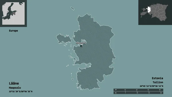
Shape of Laane, county of Estonia, and its capital. Distance scale, previews and labels. Colored elevation map. 3D rendering
Shape Laane County Estonia Its Capital Distance Scale Previews Labels — Stock Photo, Image
Map of Finland filled with white color
Map Finland Filled White Color — Stock Photo, Image
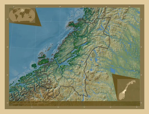
Trndelag, county of Norway. Colored elevation map with lakes and rivers. Locations of major cities of the region. Corner auxiliary location maps
Trndelag County Norway Colored Elevation Map Lakes Rivers Locations Major — Stock Photo, Image
Mre og Romsdal, county of Norway. Low resolution satellite map. Locations and names of major cities of the region. Corner auxiliary location maps
Mre Romsdal County Norway Low Resolution Satellite Map Locations Names — Stock Photo, Image
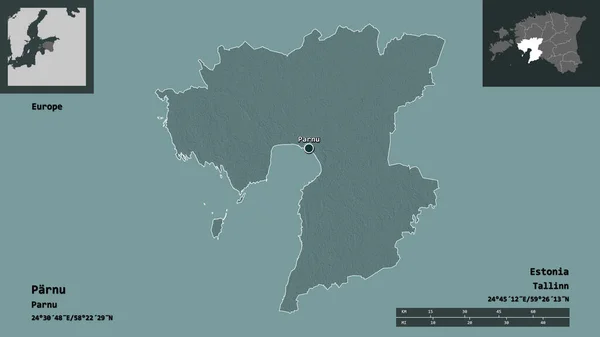
Shape of Parnu, county of Estonia, and its capital. Distance scale, previews and labels. Colored elevation map. 3D rendering
Shape Parnu County Estonia Its Capital Distance Scale Previews Labels — Stock Photo, Image
Trndelag, county of Norway. Low resolution satellite map. Locations of major cities of the region. Corner auxiliary location maps
Trndelag County Norway Low Resolution Satellite Map Locations Major Cities — Stock Photo, Image
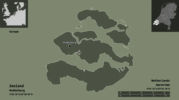
Shape of Zeeland, province of Netherlands, and its capital. Distance scale, previews and labels. Colored elevation map. 3D rendering
Shape Zeeland Province Netherlands Its Capital Distance Scale Previews Labels — Stock Photo, Image
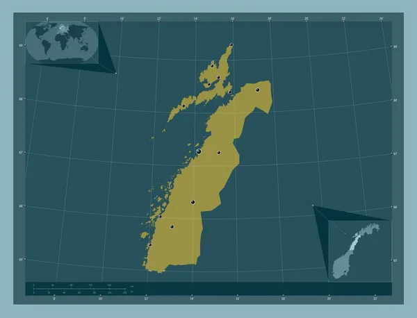
Nordland, county of Norway. Solid color shape. Locations of major cities of the region. Corner auxiliary location maps
Nordland County Norway Solid Color Shape Locations Major Cities Region — Stock Photo, Image
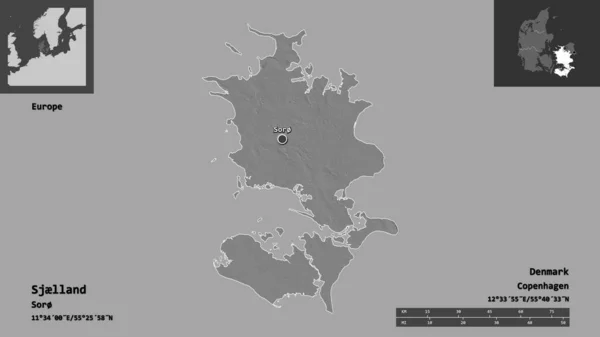
Shape of Sjlland, region of Denmark, and its capital. Distance scale, previews and labels. Bilevel elevation map. 3D rendering
Shape Sjlland Region Denmark Its Capital Distance Scale Previews Labels — Stock Photo, Image
Regions on administration map of norway
Regions on administration map of norway — Stock Photo, Image
Polygonal Carcass Mesh High Detail Raster Map of Estonia Abstractions
Polygonal Carcass Mesh High Detail Raster Map of Estonia Abstractions — Stock Photo, Image
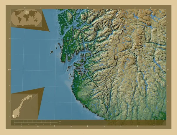
Rogaland, county of Norway. Colored elevation map with lakes and rivers. Corner auxiliary location maps
Rogaland County Norway Colored Elevation Map Lakes Rivers Corner Auxiliary — Stock Photo, Image
Map Norway. Isolated Illustration. Black on White background.
Map Norway Isolated Illustration Black White Background — Stock Photo, Image
Shape of Midtjylland, region of Denmark, and its capital. Distance scale, previews and labels. Bilevel elevation map. 3D rendering
Shape Midtjylland Region Denmark Its Capital Distance Scale Previews Labels — Stock Photo, Image
Shape of Mariy-El, republic of Russia, and its capital. Distance scale, previews and labels. Colored elevation map. 3D rendering
Shape Mariy Republic Russia Its Capital Distance Scale Previews Labels — Stock Photo, Image
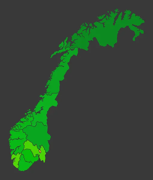
Norway population heat map as color density illustration
Norway Population Heat Map Color Density Illustration — Stock Photo, Image
Denmark map
Denmark map — Stock Photo, Image
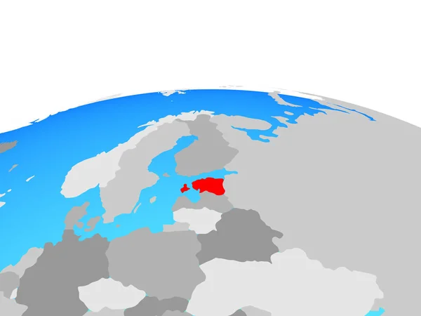
Estonia on political globe. 3D illustration.
Estonia Political Globe Illustration — Stock Photo, Image
Shape of Oberosterreich, state of Austria, and its capital. Distance scale, previews and labels. Satellite imagery. 3D rendering
Shape Oberosterreich State Austria Its Capital Distance Scale Previews Labels — Stock Photo, Image
Isolated map of the state of Schleswig Holstein - Germany
Isolated map of the state of Schleswig Holstein - Germany — Stock Photo, Image
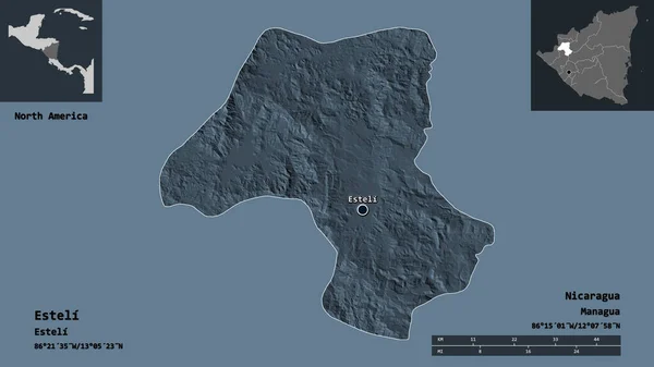
Shape of Esteli, department of Nicaragua, and its capital. Distance scale, previews and labels. Colored elevation map. 3D rendering
Shape Esteli Department Nicaragua Its Capital Distance Scale Previews Labels — Stock Photo, Image
Shape of Masovian, voivodeship of Poland, and its capital. Distance scale, previews and labels. Colored elevation map. 3D rendering
Shape Masovian Voivodeship Poland Its Capital Distance Scale Previews Labels — Stock Photo, Image
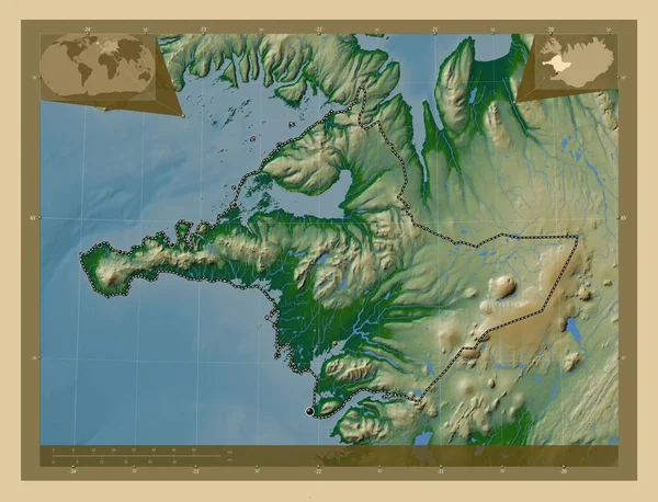
Vesturland, region of Iceland. Colored elevation map with lakes and rivers. Locations of major cities of the region. Corner auxiliary location maps
Vesturland Region Iceland Colored Elevation Map Lakes Rivers Locations Major — Stock Photo, Image
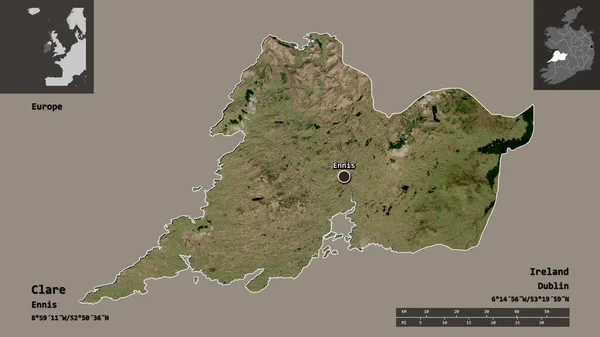
Shape of Clare, county of Ireland, and its capital. Distance scale, previews and labels. Satellite imagery. 3D rendering
Shape Clare County Ireland Its Capital Distance Scale Previews Labels — Stock Photo, Image
Krong Preah Sihanouk, municipality of Cambodia. Solid color shape. Locations and names of major cities of the region. Corner auxiliary location maps
Krong Preah Sihanouk Municipality Cambodia Solid Color Shape Locations Names — Stock Photo, Image
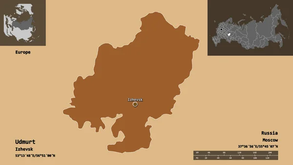
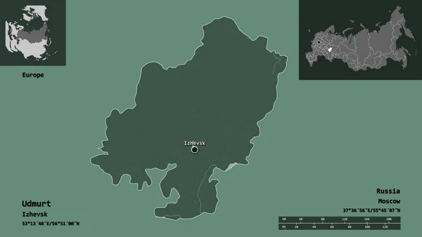
Shape of Udmurt, republic of Russia, and its capital. Distance scale, previews and labels. Composition of regularly patterned textures. 3D rendering
Shape Udmurt Republic Russia Its Capital Distance Scale Previews Labels — Stock Photo, Image
Map of Europe, digitally generated image
Map Europe Digitally Generated Image — Stock Photo, Image
Polygonal Wire Frame Mesh High Detail Raster Map of Grenada Islands Abstractions
Polygonal Wire Frame Mesh High Detail Raster Map of Grenada Islands Abstractions — Stock Photo, Image
Cuba on blue political globe
Cuba on blue political globe — Stock Photo, Image
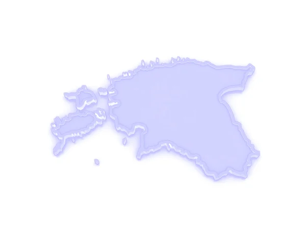
Map of Estonia.
Map of Estonia. — Stock Photo, Image
Southern Savonia, region of Finland. Colored elevation map with lakes and rivers. Corner auxiliary location maps
Southern Savonia Region Finland Colored Elevation Map Lakes Rivers Corner — Stock Photo, Image
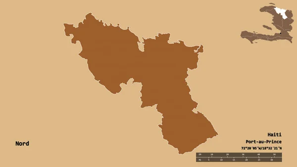
Shape of Nord, department of Haiti, with its capital isolated on solid background. Distance scale, region preview and labels. Composition of patterned textures. 3D rendering
Shape Nord Department Haiti Its Capital Isolated Solid Background Distance — Stock Photo, Image
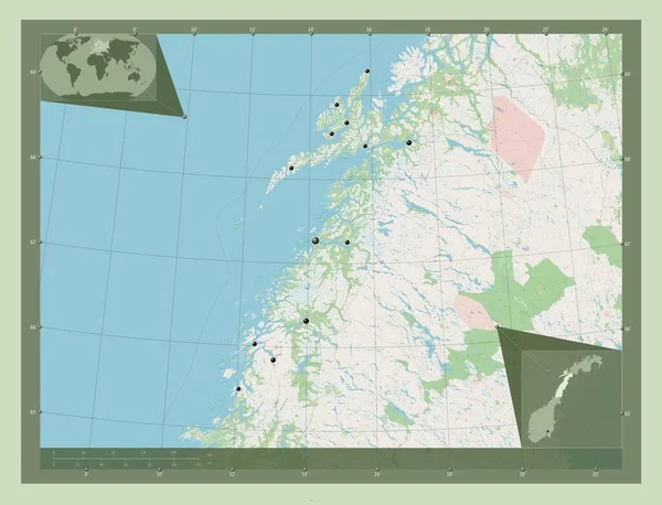
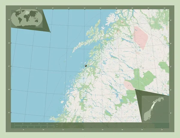
Nordland, county of Norway. Open Street Map. Locations of major cities of the region. Corner auxiliary location maps
Nordland County Norway Open Street Map Locations Major Cities Region — Stock Photo, Image
Shape of Pskov, region of Russia, and its capital. Distance scale, previews and labels. Composition of regularly patterned textures. 3D rendering
Shape Pskov Region Russia Its Capital Distance Scale Previews Labels — Stock Photo, Image
Europe with embedded national flags on simple political 3D globe. 3D illustration.
Europe Embedded National Flags Simple Political Globe Illustration — Stock Photo, Image
Luhans'k, region of Ukraine. Solid color shape
Luhans Region Ukraine Solid Color Shape — Stock Photo, Image
Luhans'k, region of Ukraine. Solid color shape
Luhans Region Ukraine Solid Color Shape — Stock Photo, Image
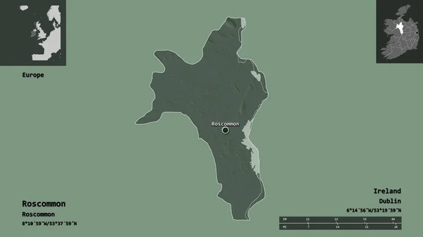
Shape of Roscommon, county of Ireland, and its capital. Distance scale, previews and labels. Colored elevation map. 3D rendering
Shape Roscommon County Ireland Its Capital Distance Scale Previews Labels — Stock Photo, Image
Map of North Korea.
Map of North Korea. — Stock Photo, Image
Norway map
Norway map — Stock Photo, Image
Map Qatar. Isolated Illustration. Black on White background.
Map Qatar Isolated Illustration Black White Background — Stock Photo, Image
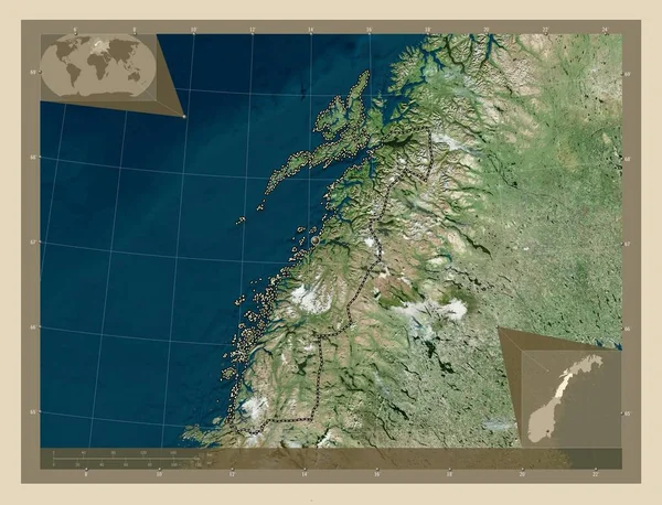
Nordland, county of Norway. High resolution satellite map. Corner auxiliary location maps
Nordland County Norway High Resolution Satellite Map Corner Auxiliary Location — Stock Photo, Image
Map Sao Tome and Principe. Isolated Illustration. Black on White background.
Map Sao Tome Principe Isolated Illustration Black White Background — Stock Photo, Image
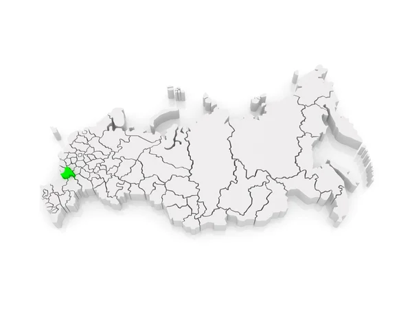
Map of the Russian Federation. Voronezh region.
Map of the Russian Federation. Voronezh region. — Stock Photo, Image
Polygonal Network Mesh High Detail Raster Map of Leningrad Region Abstractions
Polygonal Network Mesh High Detail Raster Map of Leningrad Region Abstractions — Stock Photo, Image
Shape of Udmurt, republic of Russia, and its capital. Distance scale, previews and labels. Colored elevation map. 3D rendering
Shape Udmurt Republic Russia Its Capital Distance Scale Previews Labels — Stock Photo, Image
Norway on bright political globe with embedded flag. 3D illustration.
Norway Bright Political Globe Embedded Flag Illustration — Stock Photo, Image
King's Lynn and West Norfolk, non metropolitan district of England - Great Britain. Solid color shape. Corner auxiliary location maps
King Lynn West Norfolk Non Metropolitan District England Great Britain — Stock Photo, Image
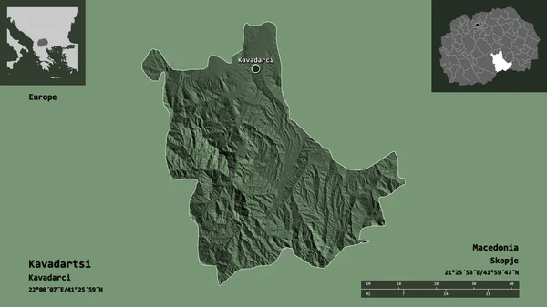
Shape of Kavadartsi, municipality of Macedonia, and its capital. Distance scale, previews and labels. Colored elevation map. 3D rendering
Shape Kavadartsi Municipality Macedonia Its Capital Distance Scale Previews Labels — Stock Photo, Image
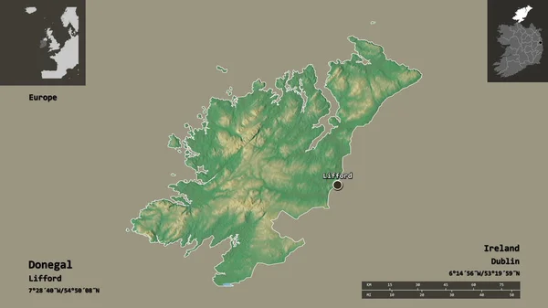
Shape of Donegal, county of Ireland, and its capital. Distance scale, previews and labels. Topographic relief map. 3D rendering
Shape Donegal County Ireland Its Capital Distance Scale Previews Labels — Stock Photo, Image
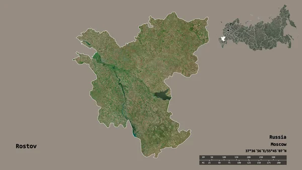
Shape of Rostov, region of Russia, with its capital isolated on solid background. Distance scale, region preview and labels. Satellite imagery. 3D rendering
Shape Rostov Region Russia Its Capital Isolated Solid Background Distance — Stock Photo, Image
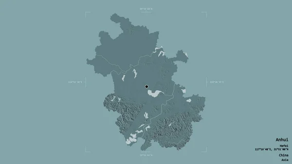
Area of Anhui, province of China, isolated on a solid background in a georeferenced bounding box. Labels. Colored elevation map. 3D rendering
Area Anhui Province China Isolated Solid Background Georeferenced Bounding Box — Stock Photo, Image
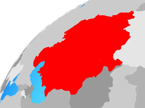
Central Asia on globe. 3D illustration.
Central Asia Globe Illustration — Stock Photo, Image
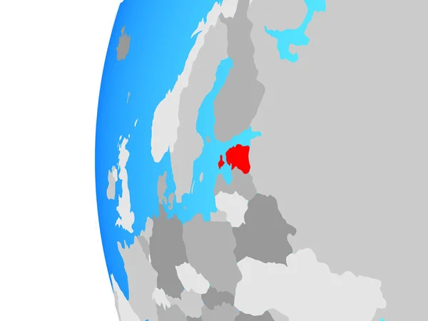
Estonia on blue political globe. 3D illustration.
Estonia Blue Political Globe Illustration — Stock Photo, Image
Mayo, county of Ireland. Elevation map colored in wiki style with lakes and rivers. Locations of major cities of the region. Corner auxiliary location maps
Mayo County Ireland Elevation Map Colored Wiki Style Lakes Rivers — Stock Photo, Image
Shape of Tatarstan, republic of Russia, and its capital. Distance scale, previews and labels. Colored elevation map. 3D rendering
Shape Tatarstan Republic Russia Its Capital Distance Scale Previews Labels — Stock Photo, Image
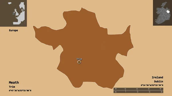
Shape of Meath, county of Ireland, and its capital. Distance scale, previews and labels. Composition of patterned textures. 3D rendering
Shape Meath County Ireland Its Capital Distance Scale Previews Labels — Stock Photo, Image
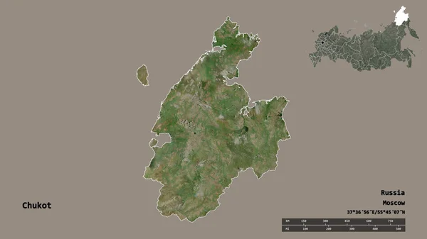
Shape of Chukot, autonomous province of Russia, with its capital isolated on solid background. Distance scale, region preview and labels. Satellite imagery. 3D rendering
Shape Chukot Autonomous Province Russia Its Capital Isolated Solid Background — Stock Photo, Image
Tunisia map with gray tone on white background,illustration,textured , Symbols of Tunisia ,for advertising ,promote, TV commercial, ads, web design, magazine, news paper, report
Tunisia Map Gray Tone White Background Illustration Textured Symbols Tunisia — Stock Photo, Image
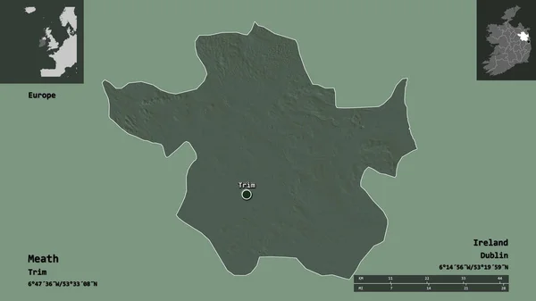
Shape of Meath, county of Ireland, and its capital. Distance scale, previews and labels. Colored elevation map. 3D rendering
Shape Meath County Ireland Its Capital Distance Scale Previews Labels — Stock Photo, Image
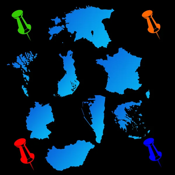
European countries travel maps
European countries travel maps — Stock Photo, Image
European countries travel maps
European countries travel maps — Stock Photo, Image
Shape of odz, voivodeship of Poland, and its capital. Distance scale, previews and labels. Bilevel elevation map. 3D rendering
Shape Odz Voivodeship Poland Its Capital Distance Scale Previews Labels — Stock Photo, Image
Shape of Hessen, state of Germany, and its capital. Distance scale, previews and labels. Satellite imagery. 3D rendering
Shape Hessen State Germany Its Capital Distance Scale Previews Labels — Stock Photo, Image
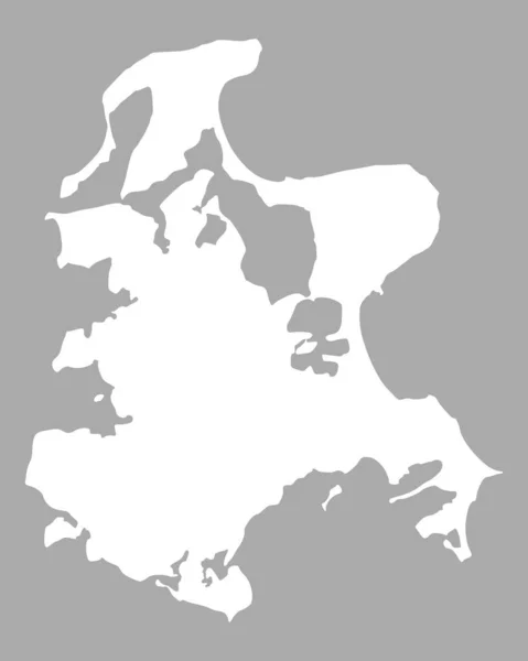
Map of Ruegen, geographical map
Map Ruegen Geographical Map — Stock Photo, Image
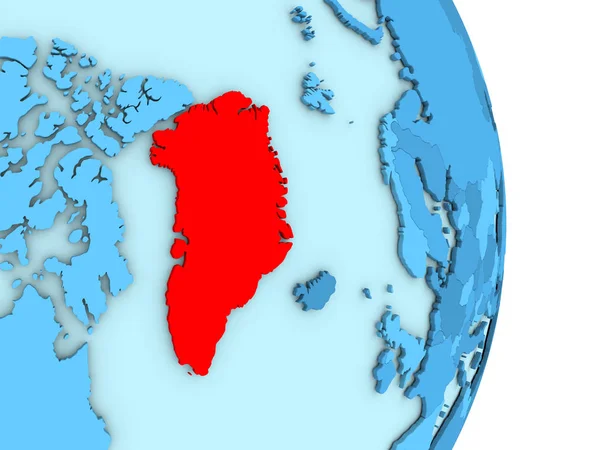
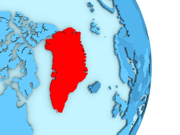
Greenland on blue political globe
Greenland on blue political globe — Stock Photo, Image
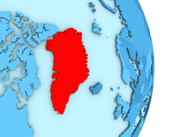
Greenland on blue political globe
Greenland on blue political globe — Stock Photo, Image
Greenland on blue political globe
Greenland on blue political globe — Stock Photo, Image
Greenland on blue political globe
Greenland on blue political globe — Stock Photo, Image
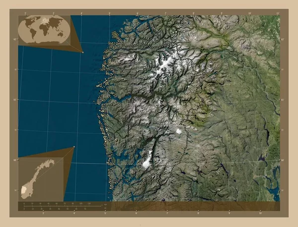
Vestland, county of Norway. Low resolution satellite map. Corner auxiliary location maps
Vestland County Norway Low Resolution Satellite Map Corner Auxiliary Location — Stock Photo, Image
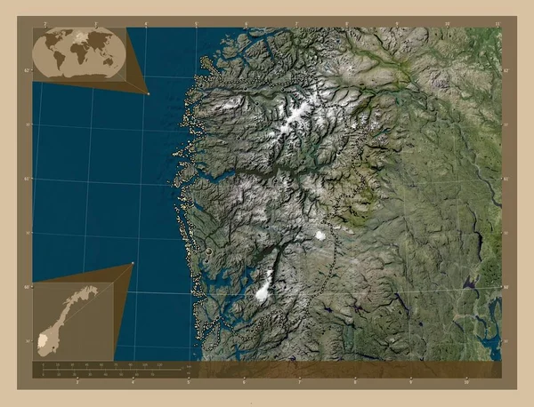
Vestland, county of Norway. Low resolution satellite map. Locations of major cities of the region. Corner auxiliary location maps
Vestland County Norway Low Resolution Satellite Map Locations Major Cities — Stock Photo, Image
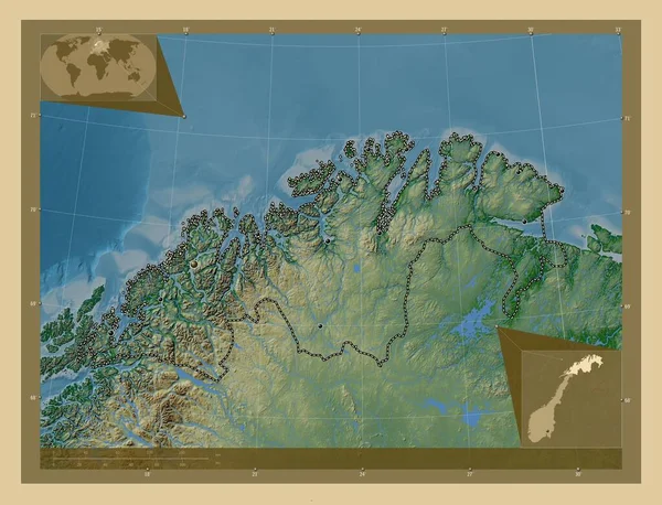
Troms og Finnmark, county of Norway. Colored elevation map with lakes and rivers. Locations of major cities of the region. Corner auxiliary location maps
Troms Finnmark County Norway Colored Elevation Map Lakes Rivers Locations — Stock Photo, Image
Close-up of Austria and its location in the region and in the center of a large-scale world map. Satellite imagery
Close Austria Its Location Region Center Large Scale World Map — Stock Photo, Image
Nordland, county of Norway. Open Street Map. Corner auxiliary location maps
Nordland County Norway Open Street Map Corner Auxiliary Location Maps — Stock Photo, Image

Discover Stunning Norway Map Images for Your Projects

When it comes to visually representing Norway, nothing captures its grandeur quite like a map. At our online platform, we offer a wide selection of stock images showcasing the beauty of Norway through its maps. Whether you're a designer, marketer, or researcher, these images are an invaluable resource for your projects. From detailed JPG files to versatile AI and EPS formats, our collection has something for everyone. Read on to explore the possibilities and find the perfect Norway map image for your next endeavor.

Explore Norway's Splendor with High-Quality Map Images

Our Norway map images effortlessly blend meticulous detail and striking visuals, ensuring that you can effectively communicate your message to your audience. We provide a range of file formats, including JPG, AI, and EPS, allowing you to choose the one that best suits your needs. Whether you're working on a website, creating a brochure, or developing an educational presentation, these images are the ideal visual aid to captivate your viewers.

Our JPG files are perfect for online use, enabling you to easily insert them into websites, blogs, or social media posts. With their high resolution and vibrant colors, these images impeccably showcase Norway's topography, cities, and landmarks. For more versatility and customization options, our AI and EPS formats are excellent choices. These files are scalable, allowing you to resize or modify the maps without compromising their quality. Whether you need a small icon or a large print-ready image, our Norway map images have got you covered.

Enhance Your Projects with Norway's Maps

Whether you're working on a travel brochure, a research report, or a marketing campaign, incorporating Norway map images can profoundly elevate the impact of your project. By visually representing Norway's geographical features, cities, and attractions, you can instantly immerse your audience in the country's beauty and allure.

For a travel agency or tour operator, our maps can effectively showcase the various regions and attractions of Norway, helping potential customers envision their dream vacation. Research projects on Norway's demographics, wildlife, or historical landmarks can greatly benefit from our detailed and accurate maps. Even businesses looking to expand into the Norwegian market can utilize these images to create impactful presentations highlighting market opportunities and potential locations for expansion.

Choose the Perfect Norway Map Image for Your Project

When selecting a Norway map image, it's essential to consider the tone and message of your project. Our collection offers an array of styles, from minimalist and modern to ornate and vintage, ensuring you can find the perfect match. Additionally, think about the color scheme and layout of your design. The vibrant colors and intricate details of our maps can complement a variety of themes and aesthetics.

Remember, using the appropriate file format is crucial for optimal results. If you're looking for an image to use on your website, choose a JPG file that loads quickly and maintains its visual appeal. If you require scalable illustrations for print materials or large displays, opt for our AI or EPS formats to preserve clarity and crispness when enlarging them.

Embrace the power of stunning Norway map images and unlock the potential of your projects. Browse through our collection of high-quality stock images and find the perfect visual representation of Norway's splendor, geography, and cultural heritage. With our diverse formats, seamless integration, and attention to detail, you can confidently enhance your designs, presentations, and marketing materials. Start exploring now and let our Norway map images set your projects apart.