Yucatan peninsula Stock Photos

100,000 Yucatan peninsula pictures are available under a royalty-free license

  • Best Match
  • Fresh
  • Popular
1-100 of 100,000
Coatimundi
Coatimundi — Stock Photo, Image
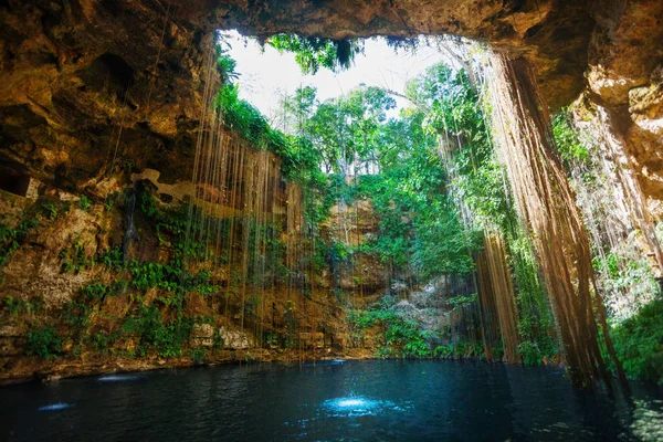
Ik-Kil cenote with roots in Mexico
Ik-Kil cenote with roots in Mexico — Stock Photo, Image
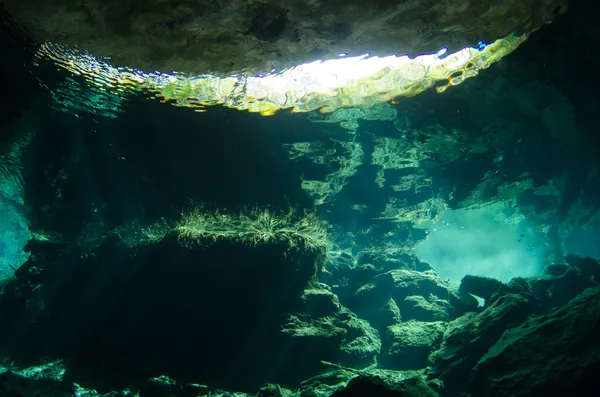
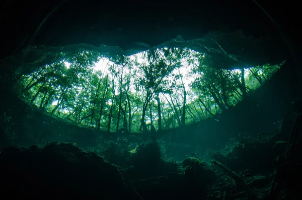
Cenotes From Yucatan
Cenotes From Yucatan — Stock Photo, Image
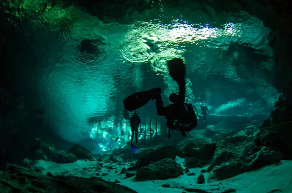
Cenotes From Yucatan
Cenotes From Yucatan — Stock Photo, Image
Nature Background
Nature Background — Stock Photo, Image
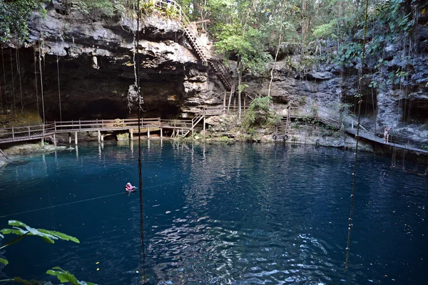
X-Canche cenote in Yucatan peninsula, Mexico.
X-Canche cenote in Yucatan peninsula, Mexico. — Stock Photo, Image
Pyramid of Kukulcan
Pyramid of Kukulcan — Stock Photo, Image
CHICHEN ITZA, MEXICO - NOVEMBER 12, 2017: Top view of Ik-Kil Cenote, near Chichen Itza, Mexico. Lovely cenote with transparent waters and hanging roots
CHICHEN ITZA, MEXICO - NOVEMBER 12, 2017: Top view of Ik-Kil Cenote, near Chichen Itza, Mexico. Lovely cenote with transparent waters and hanging roots — Stock Photo, Image
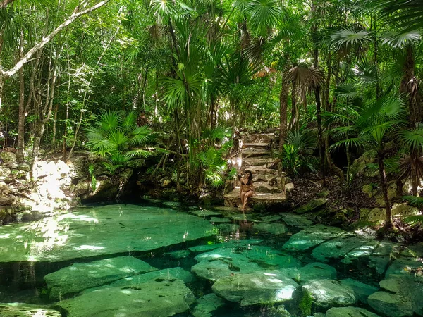
The hidden gem Cenote Azul in the Riviera Maya, Yucatan Peninsula
Hidden Gem Cenote Azul Riviera Maya Yucatan Peninsula — Stock Photo, Image
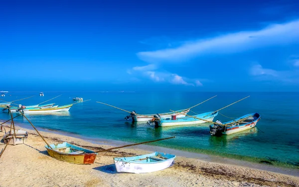
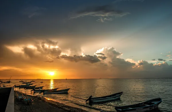
Sunset at a Yucatan Peninsula beach
Sunset at a Yucatan Peninsula beach — Stock Photo, Image
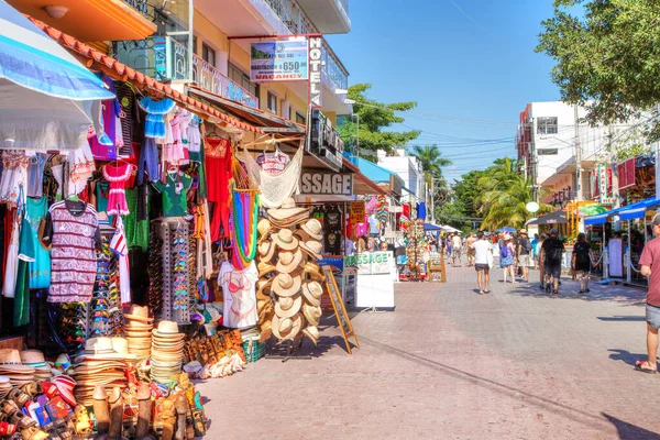
PLAYA DEL CARMEN, MEXICO - DEC. 26, 2019: Visitors enjoy shopping on famous 5th Avenue in the entertainment district of Playa del Carmen in the Yucatan peninsula of Caribbean Mexico in Cancun.
Playa Del Carmen Mexico Dec 2019 Visitors Enjoy Shopping Famous — Stock Photo, Image
PLAYA DEL CARMEN, MEXICO: Portal Maya, Maya gates at the entrance to the beach, a monument to men and women, Riviera Maya.
PLAYA DEL CARMEN, MEXICO: Portal Maya, Maya gates at the entrance to the beach, a monument to men and women, Riviera Maya. — Stock Photo, Image
Cenotes From Yucatan
Cenotes From Yucatan — Stock Photo, Image
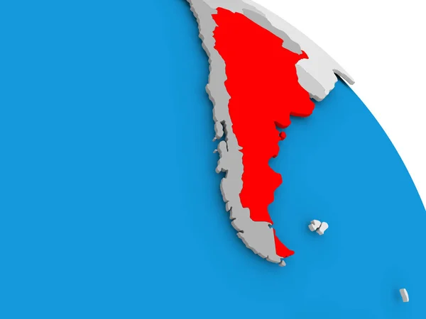
Argentina on elegant globe
Argentina on elegant globe — Stock Photo, Image
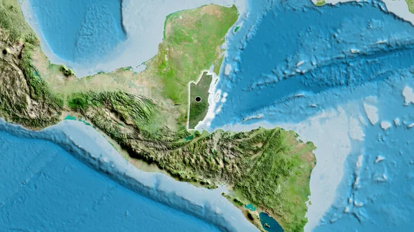
Close-up of the Belize border area highlighting with a dark overlay on a satellite map. Capital point. Glow around the country shape.
Close Belize Border Area Highlighting Dark Overlay Satellite Map Capital — Stock Photo, Image
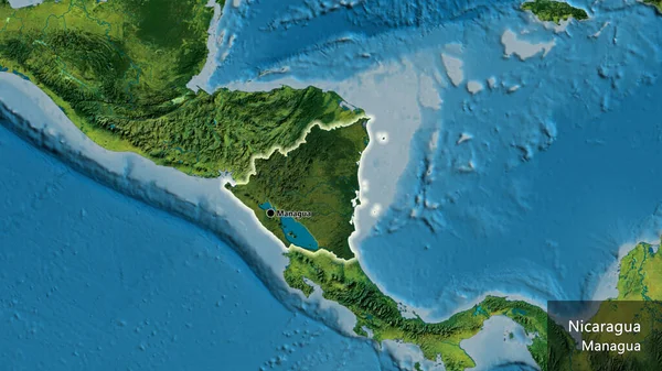
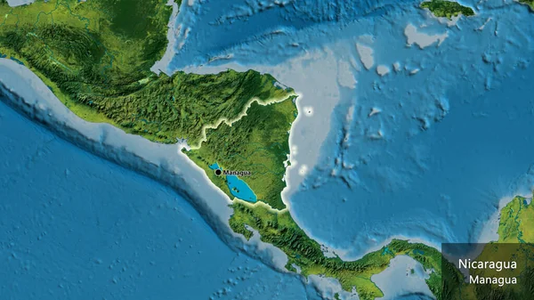
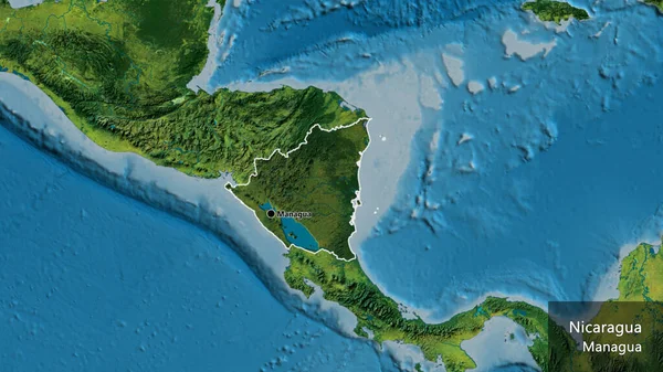
Close-up of the Nicaragua border area highlighting with a dark overlay on a topographic map. Capital point. Glow around the country shape. English name of the country and its capital
Close Nicaragua Border Area Highlighting Dark Overlay Topographic Map Capital — Stock Photo, Image
Argentina in red on grey political globe with transparent oceans. 3D illustration.
Argentina Red Grey Political Globe Transparent Oceans Illustration — Stock Photo, Image
Flag of Nicaragua close-up
Flag Nicaragua Close — Stock Photo, Image
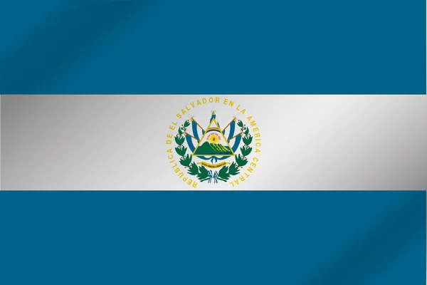
3D Wavy Flag Illustration of the country of El Salvador
3D Wavy Flag Illustration of the country of  El Salvador — Stock Photo, Image
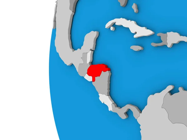
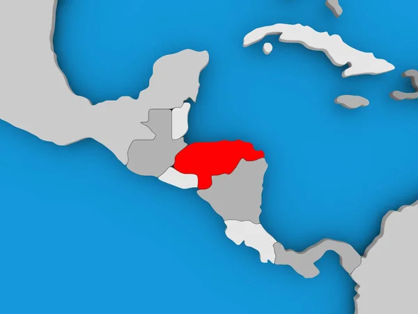
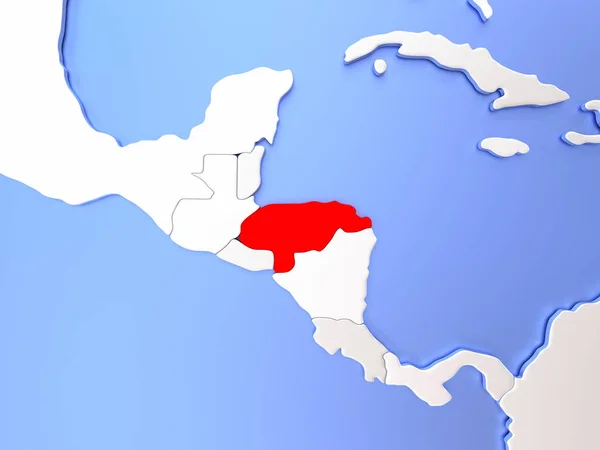
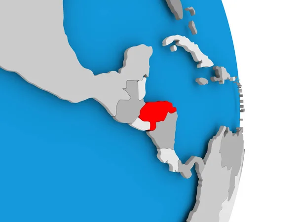
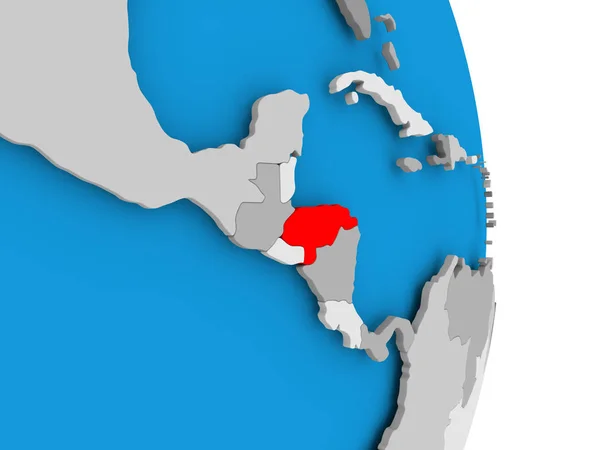
Honduras on blue political globe. 3D illustration.
Honduras Blue Political Globe Illustration — Stock Photo, Image
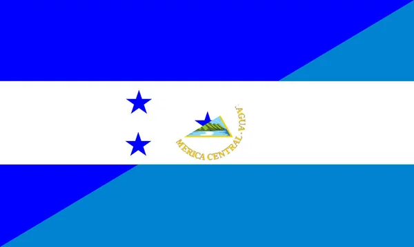
Honduras nicaragua flag
Honduras nicaragua flag — Stock Photo, Image
Honduras on globe
Honduras on globe — Stock Photo, Image
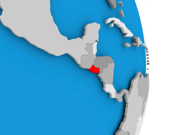
El Salvador on globe
El Salvador on globe — Stock Photo, Image
Map of Honduras
Map of Honduras — Stock Photo, Image
Map of Honduras
Map of Honduras — Stock Photo, Image
Map of Honduras
Map of Honduras — Stock Photo, Image
Panama with embedded national flag on blue political globe. 3D illustration.
Panama Embedded National Flag Blue Political Globe Illustration — Stock Photo, Image
Flag of Khujand, Tajikistan
Flag of Khujand, Tajikistan — Stock Photo, Image
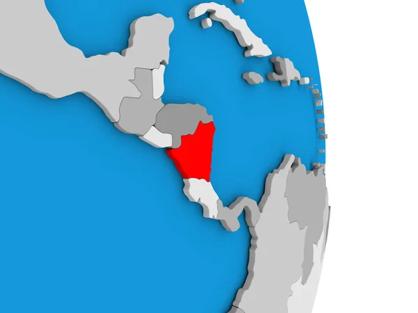
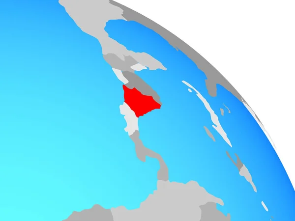
Nicaragua on simple political globe. 3D illustration.
Nicaragua Simple Political Globe Illustration — Stock Photo, Image
Nicaragua on simple political globe. 3D illustration.
Nicaragua Simple Political Globe Illustration — Stock Photo, Image
Nicaragua on globe
Nicaragua on globe — Stock Photo, Image
El Salvador on globe
El Salvador on globe — Stock Photo, Image
El Salvador on globe
El Salvador on globe — Stock Photo, Image
El Salvador on globe
El Salvador on globe — Stock Photo, Image
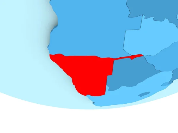
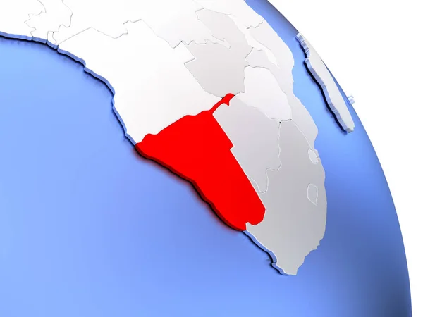
Namibia in red on blue map
Namibia in red on blue map — Stock Photo, Image
Close-up of the Nicaragua border area on a topographic map. Capital point. Glow around the country shape. English name of the country and its capital
Close Nicaragua Border Area Topographic Map Capital Point Glow Country — Stock Photo, Image
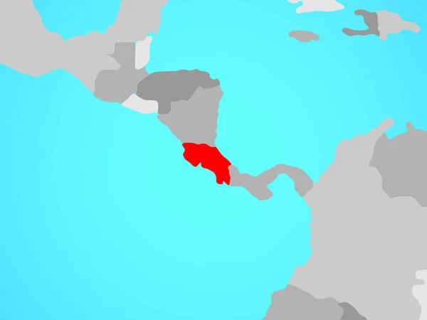
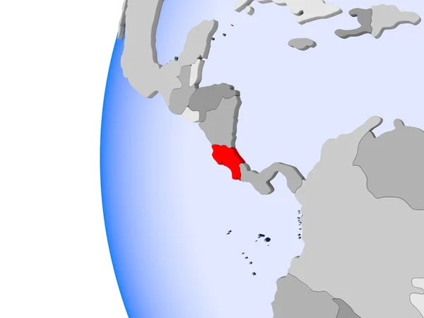
3D render of Costa Rica in red on blue political globe with transparent oceans. 3D illustration.
Render Costa Rica Red Blue Political Globe Transparent Oceans Illustration — Stock Photo, Image
Paraguay in red on grey political globe with transparent oceans. 3D illustration.
Paraguay Red Grey Political Globe Transparent Oceans Illustration — Stock Photo, Image
Honduras in red on globe
Honduras in red on globe — Stock Photo, Image
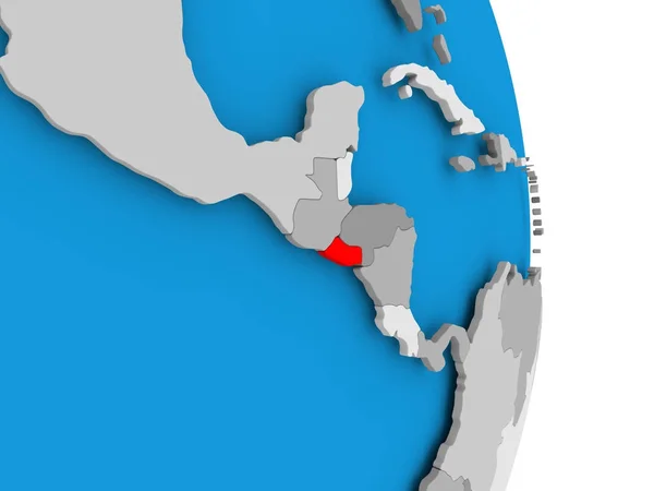
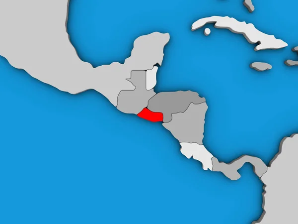
El Salvador on blue political globe. 3D illustration.
Salvador Blue Political Globe Illustration — Stock Photo, Image
Mongolia on blue political globe
Mongolia on blue political globe — Stock Photo, Image
Honduras in red on map
Honduras in red on map — Stock Photo, Image
Close-up of the Nicaragua border area highlighting with a dark overlay on a topographic map. Capital point. Outline around the country shape. English name of the country and its capital
Close Nicaragua Border Area Highlighting Dark Overlay Topographic Map Capital — Stock Photo, Image
Nicaragua on political globe
Nicaragua on political globe — Stock Photo, Image
Panama on blue political globe. 3D illustration.
Panama Blue Political Globe Illustration — Stock Photo, Image
Costa Rica on blue political globe. 3D illustration.
Costa Rica Blue Political Globe Illustration — Stock Photo, Image
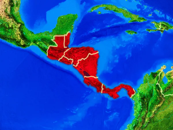
Central America from space on model of planet Earth with country borders and very detailed planet surface. 3D illustration. Elements of this image furnished by NASA.
Central America Space Model Planet Earth Country Borders Very Detailed — Stock Photo, Image
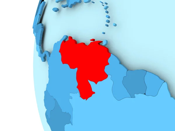
Map of Venezuela
Map of Venezuela — Stock Photo, Image
Guyana and Suriname on political Earth model
Guyana and Suriname  on political Earth model — Stock Photo, Image
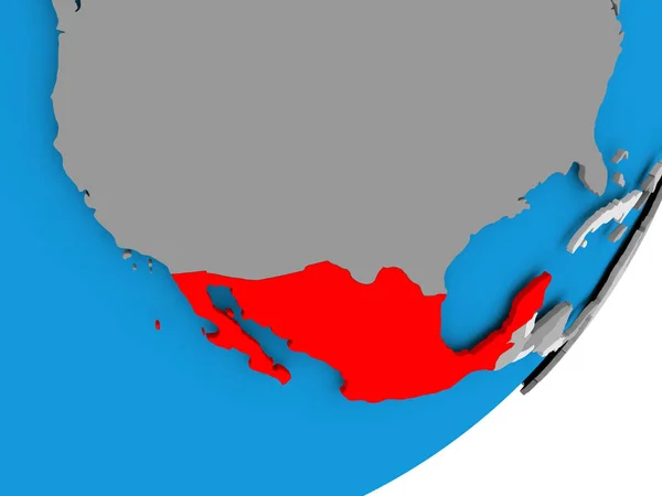
Map of Mexico
Map of Mexico — Stock Photo, Image
Round flag with shadow of Belize
Round flag with shadow of Belize — Stock Photo, Image
Slovenia flag with map and flags of the African World - 3D illustration
Slovenia Flag Map Flags African World Illustration — Stock Photo, Image
Nicaragua flag stone
Nicaragua flag stone — Stock Photo, Image
3d rendering of an old Belize flag in a concrete square
Rendering Old Belize Flag Concrete Square — Stock Photo, Image
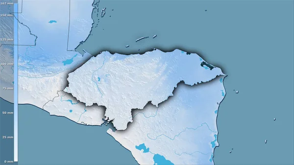
Precipitation of driest month within the Honduras area in the stereographic projection with legend - raw composition of raster layers with dark glowing outline
Precipitation Driest Month Honduras Area Stereographic Projection Legend Raw Composition — Stock Photo, Image
Precipitation of driest month within the Honduras area in the stereographic projection with legend - raw composition of raster layers with dark glowing outline
Precipitation Driest Month Honduras Area Stereographic Projection Legend Raw Composition — Stock Photo, Image
Suriname on political globe
Suriname on political globe — Stock Photo, Image
Suriname on political globe
Suriname on political globe — Stock Photo, Image
Namibia on elegant globe
Namibia on elegant globe — Stock Photo, Image
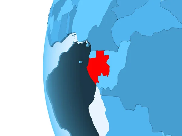
3D render of Gabon in red on blue political globe with transparent oceans. 3D illustration.
Render Gabon Red Blue Political Globe Transparent Oceans Illustration — Stock Photo, Image
Belize and Czech Republic two flags textile cloth, fabric texture
Belize and Czech Republic two flags textile cloth, fabric texture — Stock Photo, Image
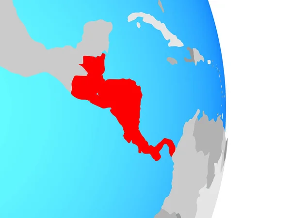
Central America on simple political globe. 3D illustration.
Central America Simple Political Globe Illustration — Stock Photo, Image
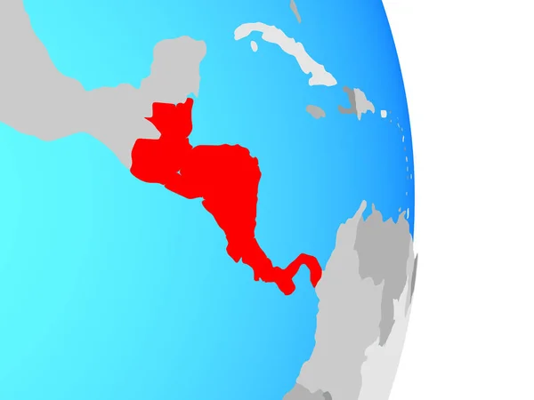
Central America on simple political globe. 3D illustration.
Central America Simple Political Globe Illustration — Stock Photo, Image
Central America on simple political globe. 3D illustration.
Central America Simple Political Globe Illustration — Stock Photo, Image
West Viginia
West Viginia — Stock Photo, Image
Map of Burundi in red on political globe with transparent oceans. 3D illustration.
Map Burundi Red Political Globe Transparent Oceans Illustration — Stock Photo, Image
Belize on blue political globe. 3D illustration.
Belize Blue Political Globe Illustration — Stock Photo, Image
Bahamas. Close-up perspective of the country - no outline. shapes only - land/ocean mask
Bahamas Close Perspective Country Outline Shapes Only Land Ocean Mask — Stock Photo, Image
Uruguay on political globe
Uruguay on political globe — Stock Photo, Image
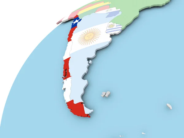
Chile on globe with flag
Chile on globe with flag — Stock Photo, Image
Cuba map
Cuba map — Stock Photo, Image
Map of Mexico with water reflection image in aquamarine color and white background
Map Mexico Water Reflection Image Aquamarine Color White Background — Stock Photo, Image
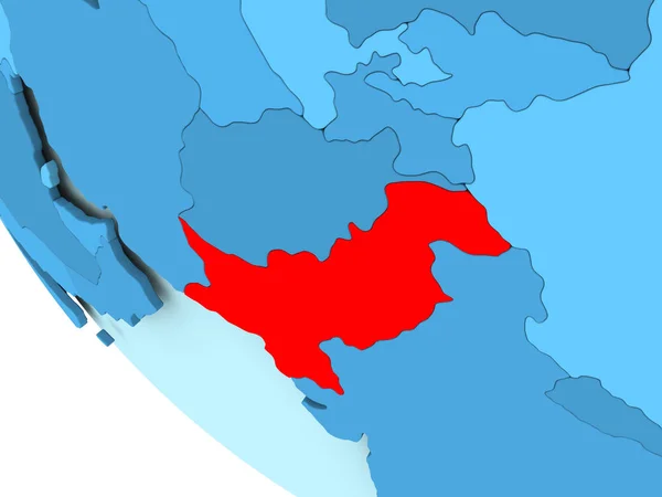
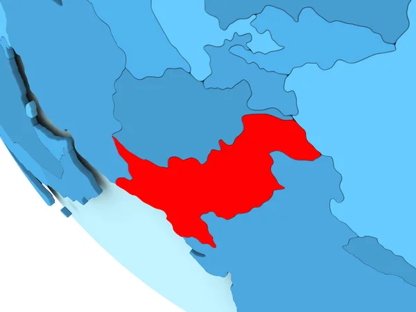
Pakistan on blue political globe
Pakistan on blue political globe — Stock Photo, Image
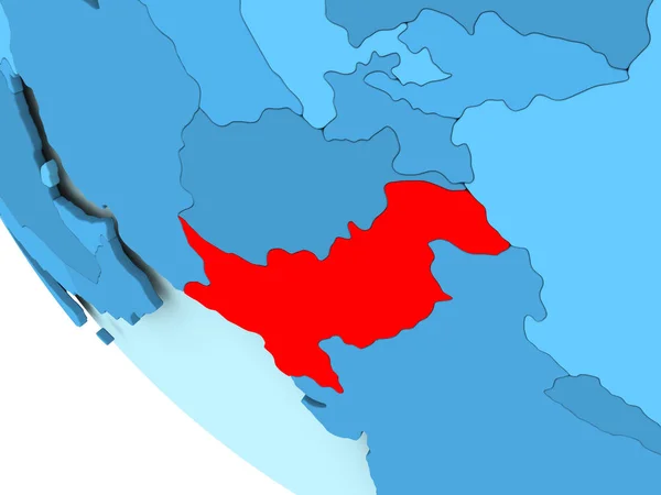
Pakistan on blue political globe
Pakistan on blue political globe — Stock Photo, Image
Pakistan on blue political globe
Pakistan on blue political globe — Stock Photo, Image
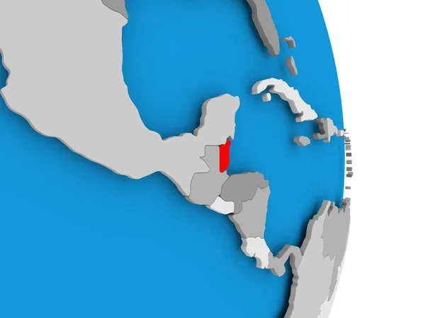
Belize on globe
Belize on globe — Stock Photo, Image
Belize on globe
Belize on globe — Stock Photo, Image
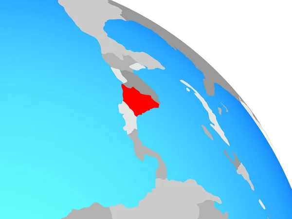
Nicaragua on simple blue political globe. 3D illustration.
Nicaragua Simple Blue Political Globe Illustration — Stock Photo, Image
Nicaragua on simple blue political globe. 3D illustration.
Nicaragua Simple Blue Political Globe Illustration — Stock Photo, Image
Nicaragua on simple blue political globe. 3D illustration.
Nicaragua Simple Blue Political Globe Illustration — Stock Photo, Image
Belize and Austria two flags textile cloth, fabric texture
Belize and Austria two flags textile cloth, fabric texture — Stock Photo, Image
Belize and Nicaragua Flags on White Background
Belize Nicaragua Flags White Background — Stock Photo, Image
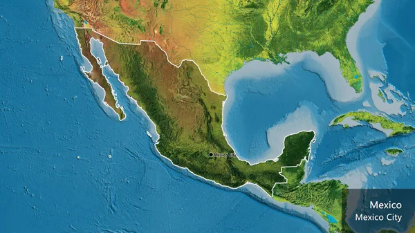
Close-up of the Mexico border area highlighting with a dark overlay on a topographic map. Capital point. Outline around the country shape. English name of the country and its capital
Close Mexico Border Area Highlighting Dark Overlay Topographic Map Capital — Stock Photo, Image
Haiti territory with flag
Haiti territory with flag — Stock Photo, Image
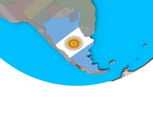
Argentina with embedded national flag on simple political 3D globe. 3D illustration.
Argentina Embedded National Flag Simple Political Globe Illustration — Stock Photo, Image
Flag of Irkutsk region. Russia
Flag of Irkutsk region. Russia — Stock Photo, Image
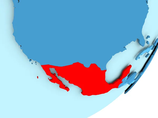
Map of Mexico on blue political globe
Map of Mexico on blue political globe — Stock Photo, Image
Guatemala and its neighborhood. Distant oblique perspective - shape glowed. satellite imagery
Guatemala Its Neighborhood Distant Oblique Perspective Shape Glowed Satellite Imagery — Stock Photo, Image
Belize on globe
Belize on globe — Stock Photo, Image
Honduras on elegant modern 3D globe
Honduras on elegant modern 3D globe — Stock Photo, Image
El Salvador on blue political 3D globe. 3D illustration.
Salvador Blue Political Globe Illustration — Stock Photo, Image
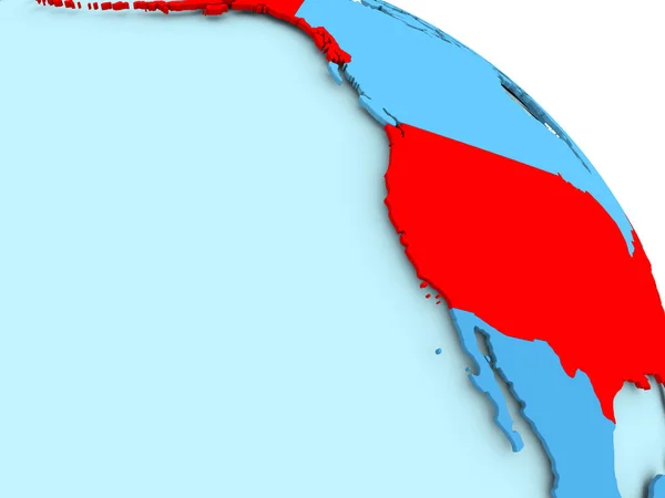
USA on blue globe
USA on blue globe — Stock Photo, Image
Argentina in red on map
Argentina in red on map — Stock Photo, Image
Honduras on globe
Honduras on globe — Stock Photo, Image
Honduras on globe
Honduras on globe — Stock Photo, Image
Map of Costa Rica on political globe
Map of Costa Rica on political globe — Stock Photo, Image
Tunisia area on the administrative divisions map in the stereographic projection - raw composition of raster layers
Tunisia Area Administrative Divisions Map Stereographic Projection Raw Composition Raster — Stock Photo, Image
Honduras area on the satellite B map in the stereographic projection - raw composition of raster layers with light glowing outline
Honduras Area Satellite Map Stereographic Projection Raw Composition Raster Layers — Stock Photo, Image
Honduras area on the satellite B map in the stereographic projection - raw composition of raster layers with light glowing outline
Honduras Area Satellite Map Stereographic Projection Raw Composition Raster Layers — Stock Photo, Image
Gabon highlighted on grey 3D model of political globe with transparent oceans. 3D illustration.
Gabon Highlighted Grey Model Political Globe Transparent Oceans Illustration — Stock Photo, Image

The Beauty of the Yucatan Peninsula Captured in Stunning Images

Welcome to our stock image collection featuring the mesmerizing beauty of the Yucatan Peninsula. Whether you're a professional designer or a travel enthusiast looking for captivating visuals, our library offers a wide range of high-quality images that are perfect for various projects. From vibrant landscapes to ancient Mayan ruins, our collection showcases the diverse beauty of the Yucatan Peninsula in vivid detail. Explore our selection of JPG, AI, and EPS files to find the perfect visual representation for your needs.

1. Breathtaking Landscapes:

Immerse yourself in the unparalleled natural landscapes of the Yucatan Peninsula with our stunning collection of images. Capture the vivid colors of the turquoise waters of the Caribbean Sea contrasting against the white sandy beaches, creating a picture-perfect paradise. The lush jungles and dense forests, teeming with exotic flora and fauna, offer a glimpse into the region's rich biodiversity. Whether you're working on a travel brochure, a website, or a presentation, these images will transport your audience to the idyllic setting of the Yucatan Peninsula.

2. Ancient Mayan Ruins:

Step back in time and explore the ancient wonders of the Mayan civilization with our collection of images featuring the majestic ruins scattered throughout the Yucatan Peninsula. From the iconic Chichen Itza to the lesser-known hidden gems, these images capture the grandeur and mystery of these architectural marvels. The intricate carvings, towering pyramids, and sacred cenotes provide a glimpse into the advanced civilization that once thrived in this region. Whether you're working on an educational project, a historical publication, or an archaeological documentary, these images will bring the ancient Mayan world to life.

3. Vibrant Culture and Traditions:

Experience the vibrant culture and rich traditions of the Yucatan Peninsula through our collection of images. Capture the colorful traditional clothing, lively festivals, and captivating rituals that are an integral part of the region's identity. These visuals are perfect for promoting cultural events, designing travel brochures, or adding an authentic touch to your marketing materials. Immerse your audience in the vibrant tapestry of sounds, colors, and flavors that make the Yucatan Peninsula a truly unique destination.

4. Sustainable Tourism and Eco-Adventures:

Promote sustainable tourism and eco-adventures with our collection of images showcasing the Yucatan Peninsula's commitment to preserving its natural beauty. From snorkeling in crystal-clear cenotes to exploring ancient caves and swimming with whale sharks, these images capture the region's dedication to environmental conservation. Whether you're designing an eco-friendly travel website, creating promotional materials for an adventure tour company, or showcasing sustainable practices, these images will enhance your message and inspire others to protect this precious ecosystem.
Remember, when using stock images, it is crucial to choose visuals that align with your project's theme, tone, and target audience. Make sure to select images that evoke the right emotions and convey your desired message effectively. Consider the visual hierarchy, color palette, and the placement of text when incorporating these images into your design. With our diverse collection of Yucatan Peninsula images, you can easily find the right visuals to enhance your projects and make them truly stand out.

So, dive into the enchanting world of the Yucatan Peninsula with our range of stunning images. Whether you need visuals for a website, a travel brochure, a documentary, or any other project, our stock image collection offers the perfect solution. Explore our gallery and let the captivating beauty of the Yucatan Peninsula inspire your creativity and leave a lasting impression on your audience.