Alaska map Stock Photos

100,000 Alaska map pictures are available under a royalty-free license

  • Best Match
  • Fresh
  • Popular
1-100 of 100,000
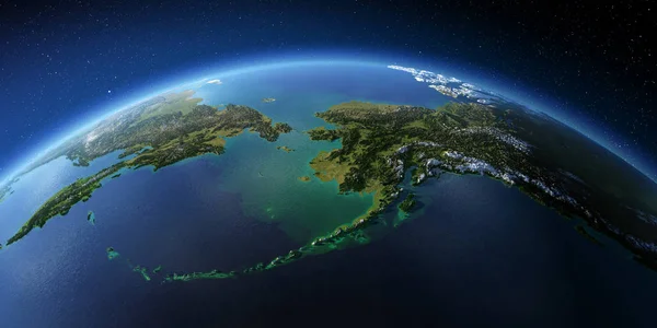
Detailed Earth. Chukotka, Alaska and the Bering Strait
Detailed Earth. Chukotka, Alaska and the Bering Strait — Stock Photo, Image
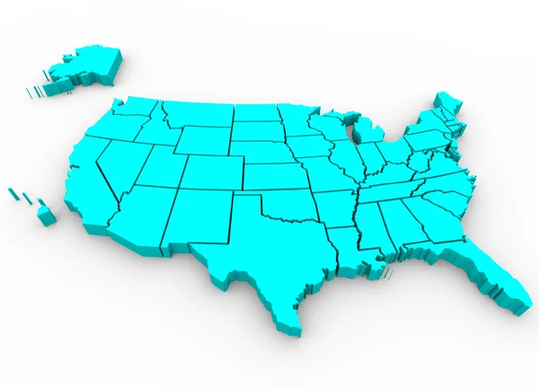
United States Map - 3d Render Illusration
United States Map - 3d Render Illusration — Stock Photo, Image
Highly detailed Earth. Chukotka, Alaska and the Bering Strait
Highly detailed Earth. Chukotka, Alaska and the Bering Strait — Stock Photo, Image
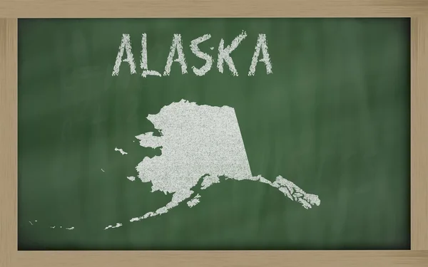
Outline map of alaska on blackboard
Outline map of alaska on blackboard — Stock Photo, Image
American state Alaska on the map of the world.
American state Alaska on the map of the world. — Stock Photo, Image
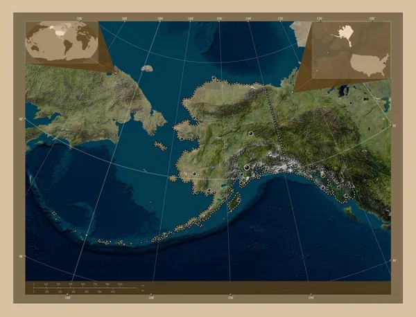
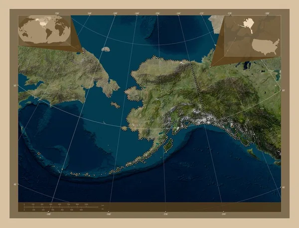
Alaska, state of United States of America. Low resolution satellite map. Locations of major cities of the region. Corner auxiliary location maps
Alaska State United States America Low Resolution Satellite Map Locations — Stock Photo, Image
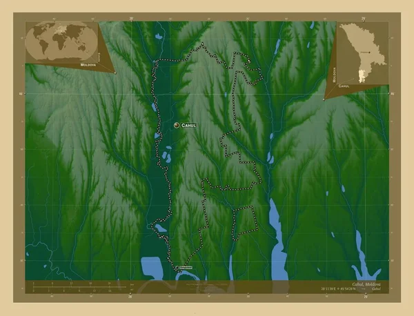
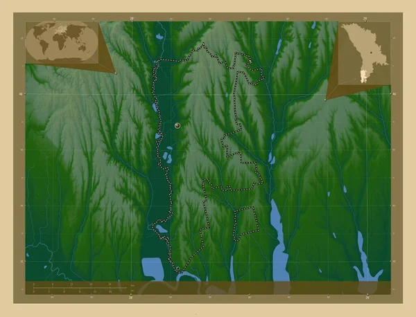
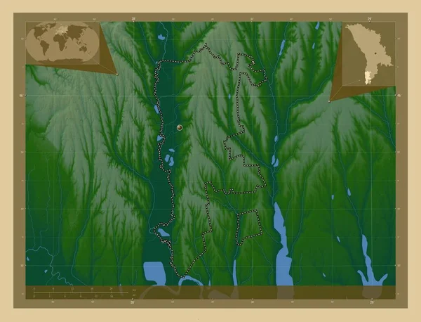
Cahul, district of Moldova. Colored elevation map with lakes and rivers. Locations and names of major cities of the region. Corner auxiliary location maps
Cahul District Moldova Colored Elevation Map Lakes Rivers Locations Names — Stock Photo, Image
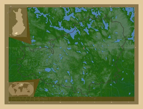
Southern Savonia, region of Finland. Colored elevation map with lakes and rivers. Corner auxiliary location maps
Southern Savonia Region Finland Colored Elevation Map Lakes Rivers Corner — Stock Photo, Image
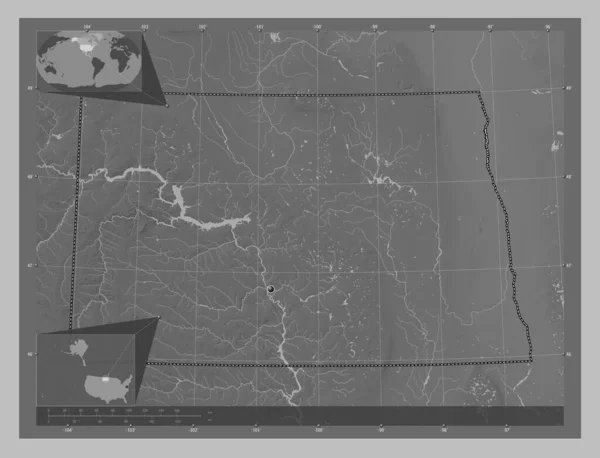
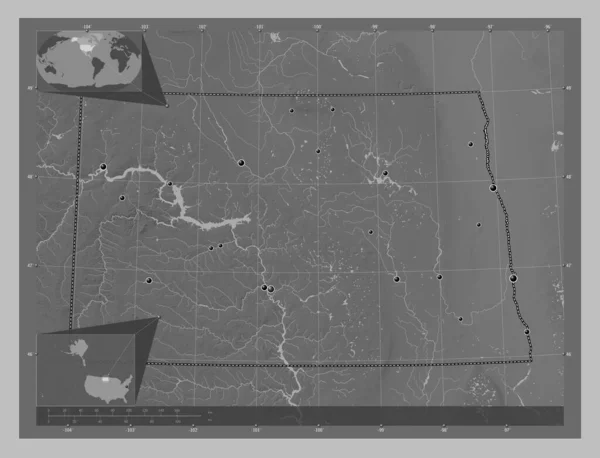
North Dakota, state of United States of America. Grayscale elevation map with lakes and rivers. Corner auxiliary location maps
North Dakota State United States America Grayscale Elevation Map Lakes — Stock Photo, Image
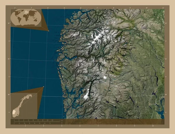
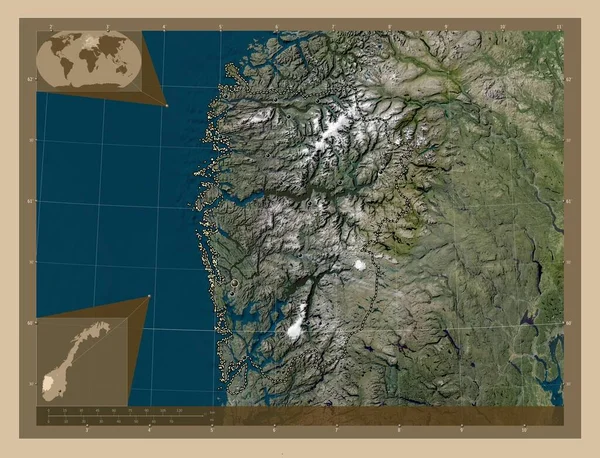
Vestland, county of Norway. Low resolution satellite map. Corner auxiliary location maps
Vestland County Norway Low Resolution Satellite Map Corner Auxiliary Location — Stock Photo, Image
Vestland, county of Norway. Low resolution satellite map. Locations of major cities of the region. Corner auxiliary location maps
Vestland County Norway Low Resolution Satellite Map Locations Major Cities — Stock Photo, Image
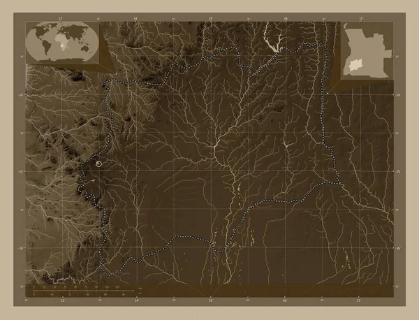
Huila, province of Angola. Elevation map colored in sepia tones with lakes and rivers. Locations of major cities of the region. Corner auxiliary location maps
Huila Province Angola Elevation Map Colored Sepia Tones Lakes Rivers — Stock Photo, Image
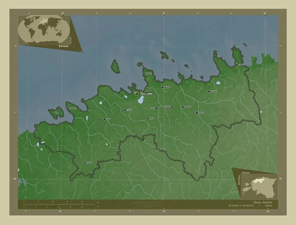
Harju, county of Estonia. Elevation map colored in wiki style with lakes and rivers. Locations and names of major cities of the region. Corner auxiliary location maps
Harju County Estonia Elevation Map Colored Wiki Style Lakes Rivers — Stock Photo, Image
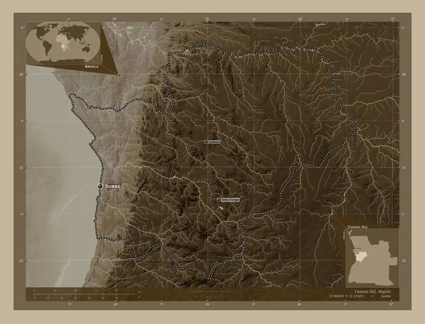
Cuanza Sul, province of Angola. Elevation map colored in sepia tones with lakes and rivers. Locations and names of major cities of the region. Corner auxiliary location maps
Cuanza Sul Province Angola Elevation Map Colored Sepia Tones Lakes — Stock Photo, Image
Southern Savonia, region of Finland. Colored elevation map with lakes and rivers. Locations of major cities of the region. Corner auxiliary location maps
Southern Savonia Region Finland Colored Elevation Map Lakes Rivers Locations — Stock Photo, Image
Babil, province of Iraq. Elevation map colored in wiki style with lakes and rivers. Corner auxiliary location maps
Babil Province Iraq Elevation Map Colored Wiki Style Lakes Rivers — Stock Photo, Image
Cahul, district of Moldova. Colored elevation map with lakes and rivers. Locations of major cities of the region. Corner auxiliary location maps
Cahul District Moldova Colored Elevation Map Lakes Rivers Locations Major — Stock Photo, Image
Cahul, district of Moldova. Colored elevation map with lakes and rivers. Corner auxiliary location maps
Cahul District Moldova Colored Elevation Map Lakes Rivers Corner Auxiliary — Stock Photo, Image
Alaska, state of United States of America. Low resolution satellite map. Corner auxiliary location maps
Alaska State United States America Low Resolution Satellite Map Corner — Stock Photo, Image
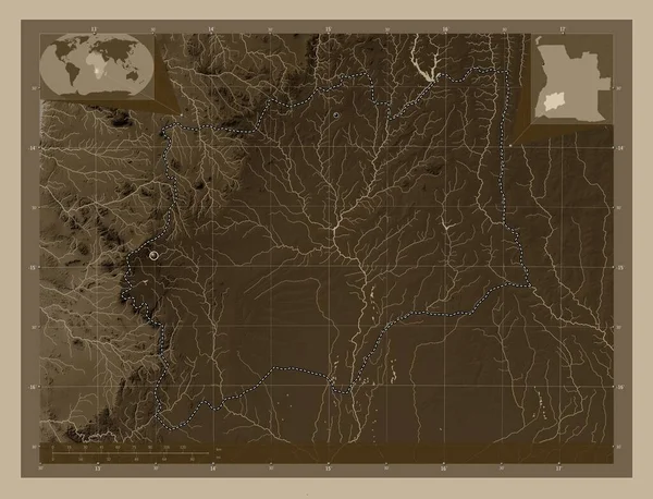
Huila, province of Angola. Elevation map colored in sepia tones with lakes and rivers. Corner auxiliary location maps
Huila Province Angola Elevation Map Colored Sepia Tones Lakes Rivers — Stock Photo, Image
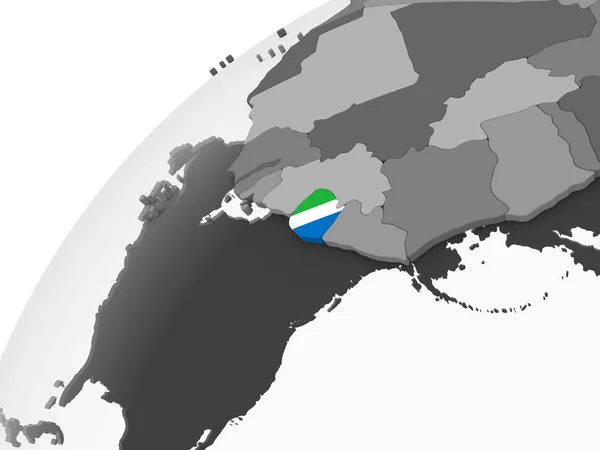
Sierra Leone on gray political globe with embedded flag. 3D illustration.
Sierra Leone Gray Political Globe Embedded Flag Illustration — Stock Photo, Image
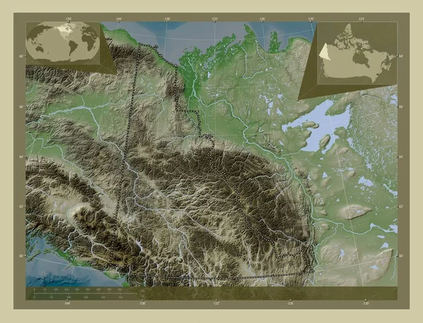
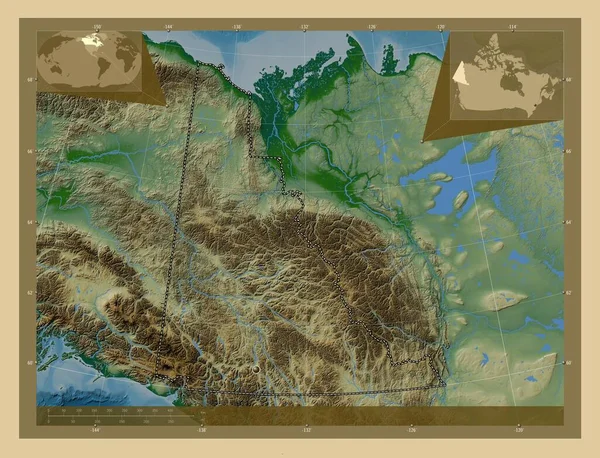
Yukon, territory of Canada. Elevation map colored in wiki style with lakes and rivers. Corner auxiliary location maps
Yukon Territory Canada Elevation Map Colored Wiki Style Lakes Rivers — Stock Photo, Image
Harju, county of Estonia. Elevation map colored in wiki style with lakes and rivers. Corner auxiliary location maps
Harju County Estonia Elevation Map Colored Wiki Style Lakes Rivers — Stock Photo, Image
Close-up of Guinea-Bissau and its location in the region and in the center of a large-scale world map. Color physical map
Close Guinea Bissau Its Location Region Center Large Scale World — Stock Photo, Image
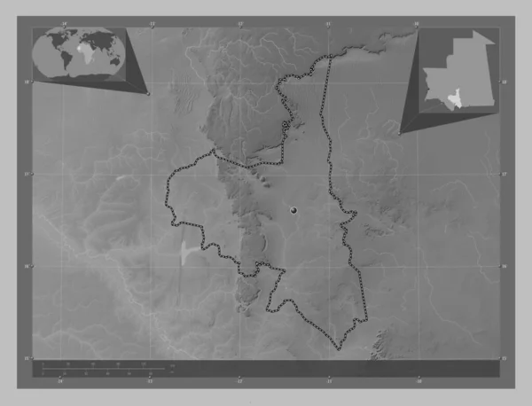
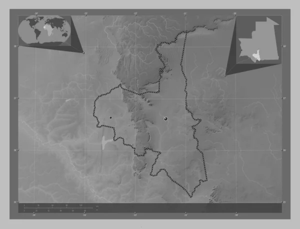
Assaba, region of Mauritania. Grayscale elevation map with lakes and rivers. Corner auxiliary location maps
Assaba Region Mauritania Grayscale Elevation Map Lakes Rivers Corner Auxiliary — Stock Photo, Image
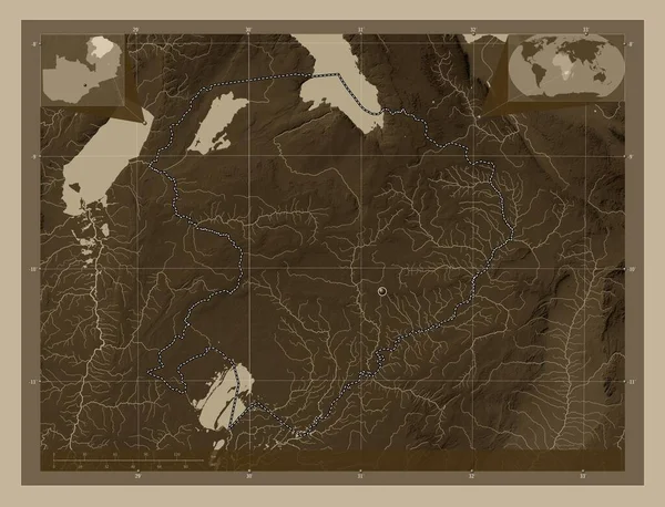
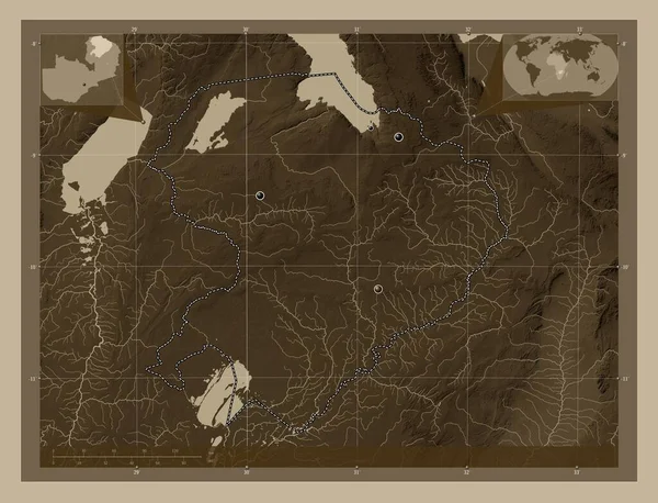
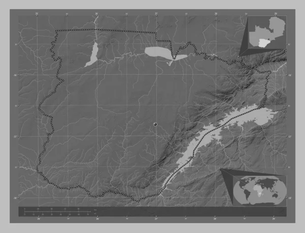
Northern, region of Zambia. Elevation map colored in sepia tones with lakes and rivers. Corner auxiliary location maps
Northern Region Zambia Elevation Map Colored Sepia Tones Lakes Rivers — Stock Photo, Image
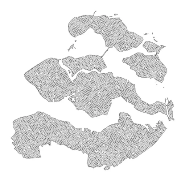
Polygonal Wire Frame Mesh High Detail Raster Map of Zeeland Province Abstractions
Polygonal Wire Frame Mesh High Detail Raster Map of Zeeland Province Abstractions — Stock Photo, Image
Shkoder, county of Albania. Elevation map colored in wiki style with lakes and rivers. Locations of major cities of the region. Corner auxiliary location maps
Shkoder County Albania Elevation Map Colored Wiki Style Lakes Rivers — Stock Photo, Image
Quebec, province of Canada. Elevation map colored in sepia tones with lakes and rivers. Corner auxiliary location maps
Quebec Province Canada Elevation Map Colored Sepia Tones Lakes Rivers — Stock Photo, Image
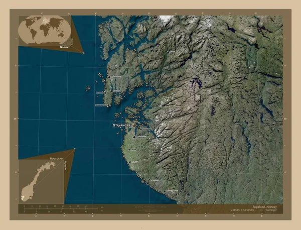
Rogaland, county of Norway. Low resolution satellite map. Locations and names of major cities of the region. Corner auxiliary location maps
Rogaland County Norway Low Resolution Satellite Map Locations Names Major — Stock Photo, Image
Shkoder, county of Albania. Elevation map colored in wiki style with lakes and rivers. Corner auxiliary location maps
Shkoder County Albania Elevation Map Colored Wiki Style Lakes Rivers — Stock Photo, Image
Fukushima, prefecture of Japan. High resolution satellite map. Corner auxiliary location maps
Fukushima Prefecture Japan High Resolution Satellite Map Corner Auxiliary Location — Stock Photo, Image
Assaba, region of Mauritania. Grayscale elevation map with lakes and rivers. Locations of major cities of the region. Corner auxiliary location maps
Assaba Region Mauritania Grayscale Elevation Map Lakes Rivers Locations Major — Stock Photo, Image
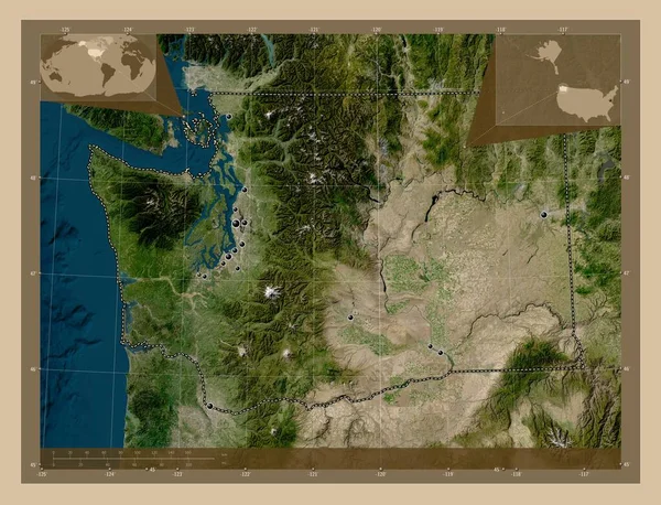
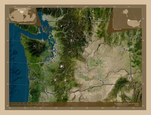
Washington, state of United States of America. Low resolution satellite map. Locations of major cities of the region. Corner auxiliary location maps
Washington State United States America Low Resolution Satellite Map Locations — Stock Photo, Image
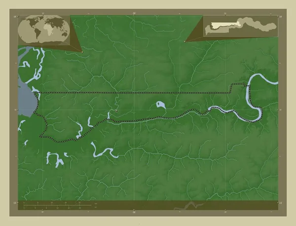
North Bank, division of Gambia. Elevation map colored in wiki style with lakes and rivers. Locations of major cities of the region. Corner auxiliary location maps
North Bank Division Gambia Elevation Map Colored Wiki Style Lakes — Stock Photo, Image
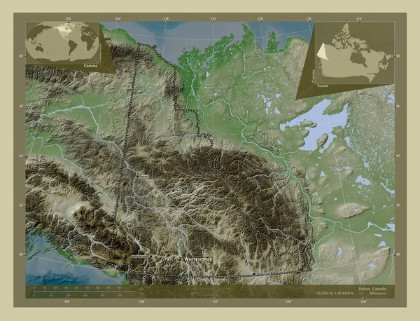
Yukon, territory of Canada. Elevation map colored in wiki style with lakes and rivers. Locations and names of major cities of the region. Corner auxiliary location maps
Yukon Territory Canada Elevation Map Colored Wiki Style Lakes Rivers — Stock Photo, Image
Debub, region of Eritrea. Solid color shape. Locations and names of major cities of the region. Corner auxiliary location maps
Debub Region Eritrea Solid Color Shape Locations Names Major Cities — Stock Photo, Image
North Bank, division of Gambia. Elevation map colored in wiki style with lakes and rivers. Corner auxiliary location maps
North Bank Division Gambia Elevation Map Colored Wiki Style Lakes — Stock Photo, Image
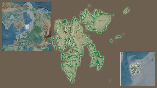
Close-up of Svalbard and its location in the region and in the center of a large-scale world map. Color physical map
Close Svalbard Its Location Region Center Large Scale World Map — Stock Photo, Image
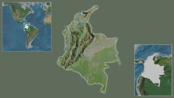
Close-up of Colombia and its location in the region and in the center of a large-scale world map. Satellite imagery
Close Colombia Its Location Region Center Large Scale World Map — Stock Photo, Image
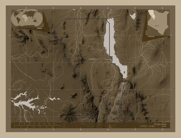
Turkana, county of Kenya. Elevation map colored in sepia tones with lakes and rivers. Locations and names of major cities of the region. Corner auxiliary location maps
Turkana County Kenya Elevation Map Colored Sepia Tones Lakes Rivers — Stock Photo, Image
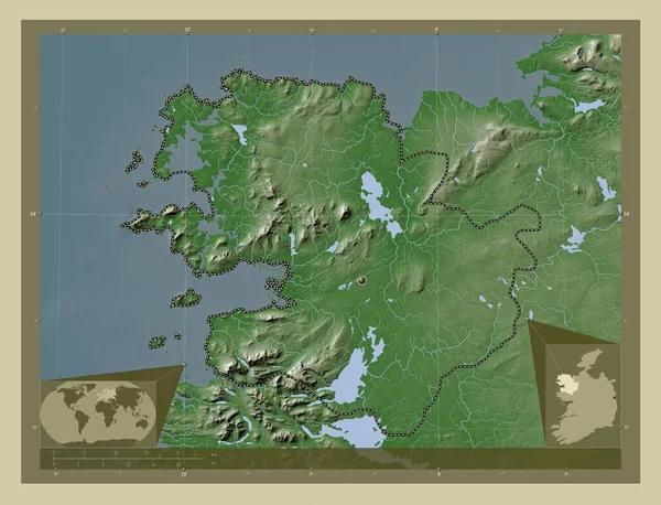
Mayo, county of Ireland. Elevation map colored in wiki style with lakes and rivers. Corner auxiliary location maps
Mayo County Ireland Elevation Map Colored Wiki Style Lakes Rivers — Stock Photo, Image
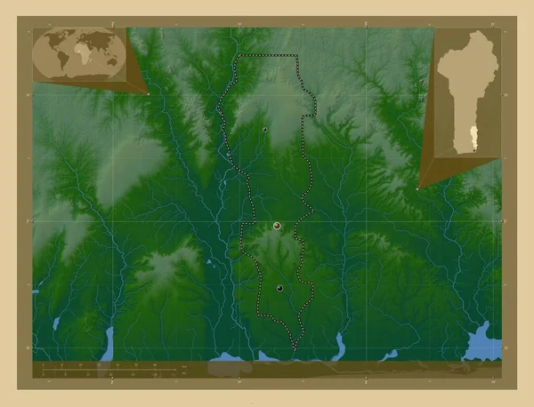
Plateau, department of Benin. Colored elevation map with lakes and rivers. Locations of major cities of the region. Corner auxiliary location maps
Plateau Department Benin Colored Elevation Map Lakes Rivers Locations Major — Stock Photo, Image
Central Finland, region of Finland. Elevation map colored in wiki style with lakes and rivers. Corner auxiliary location maps
Central Finland Region Finland Elevation Map Colored Wiki Style Lakes — Stock Photo, Image
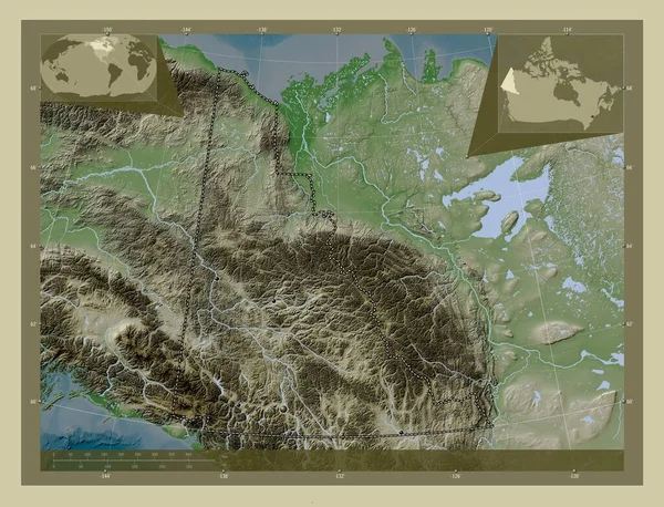
Yukon, territory of Canada. Elevation map colored in wiki style with lakes and rivers. Locations of major cities of the region. Corner auxiliary location maps
Yukon Territory Canada Elevation Map Colored Wiki Style Lakes Rivers — Stock Photo, Image
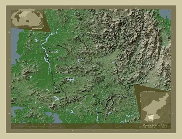
Hwanghae-bukto, province of North Korea. Elevation map colored in wiki style with lakes and rivers. Locations and names of major cities of the region. Corner auxiliary location maps
Hwanghae Bukto Province North Korea Elevation Map Colored Wiki Style — Stock Photo, Image
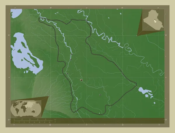
Babil, province of Iraq. Elevation map colored in wiki style with lakes and rivers. Locations of major cities of the region. Corner auxiliary location maps
Babil Province Iraq Elevation Map Colored Wiki Style Lakes Rivers — Stock Photo, Image
Mayo, county of Ireland. Elevation map colored in wiki style with lakes and rivers. Locations of major cities of the region. Corner auxiliary location maps
Mayo County Ireland Elevation Map Colored Wiki Style Lakes Rivers — Stock Photo, Image
Southern Savonia, region of Finland. Colored elevation map with lakes and rivers. Locations and names of major cities of the region. Corner auxiliary location maps
Southern Savonia Region Finland Colored Elevation Map Lakes Rivers Locations — Stock Photo, Image
Close-up of Austria and its location in the region and in the center of a large-scale world map. Satellite imagery
Close Austria Its Location Region Center Large Scale World Map — Stock Photo, Image
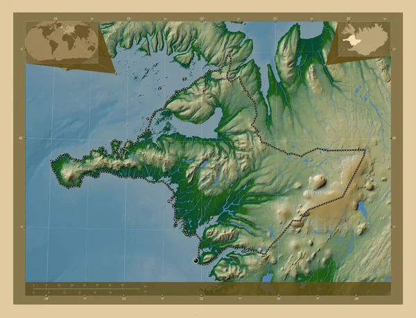
Vesturland, region of Iceland. Colored elevation map with lakes and rivers. Locations of major cities of the region. Corner auxiliary location maps
Vesturland Region Iceland Colored Elevation Map Lakes Rivers Locations Major — Stock Photo, Image
Canada - Hand-Drawn Map lllustration
Canada Hand Drawn Map Lllustration — Stock Photo, Image
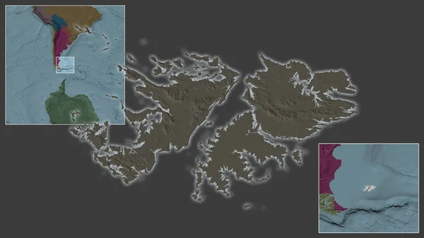
Close-up of Falkland Islands and its location in the region and in the center of a large-scale world map. Color map of the administrative division
Close Falkland Islands Its Location Region Center Large Scale World — Stock Photo, Image
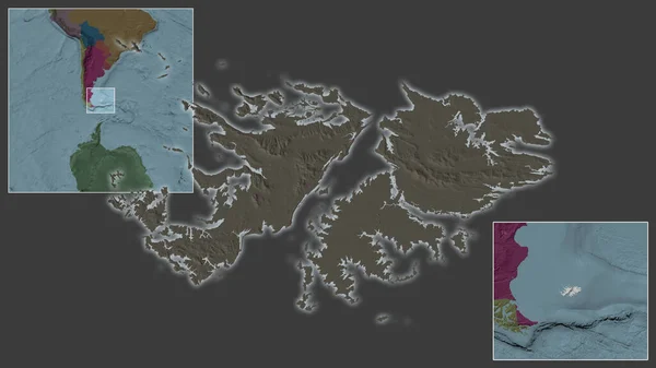
Close-up of Falkland Islands and its location in the region and in the center of a large-scale world map. Color map of the administrative division
Close Falkland Islands Its Location Region Center Large Scale World — Stock Photo, Image
Shkoder, county of Albania. Elevation map colored in wiki style with lakes and rivers. Locations and names of major cities of the region. Corner auxiliary location maps
Shkoder County Albania Elevation Map Colored Wiki Style Lakes Rivers — Stock Photo, Image
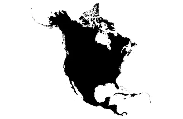
North America
North America — Stock Photo, Image
Vesturland, region of Iceland. Colored elevation map with lakes and rivers. Corner auxiliary location maps
Vesturland Region Iceland Colored Elevation Map Lakes Rivers Corner Auxiliary — Stock Photo, Image
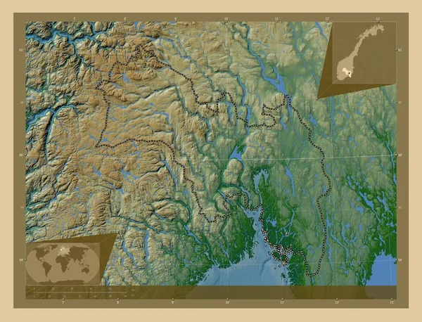
Viken, county of Norway. Colored elevation map with lakes and rivers. Corner auxiliary location maps
Viken County Norway Colored Elevation Map Lakes Rivers Corner Auxiliary — Stock Photo, Image
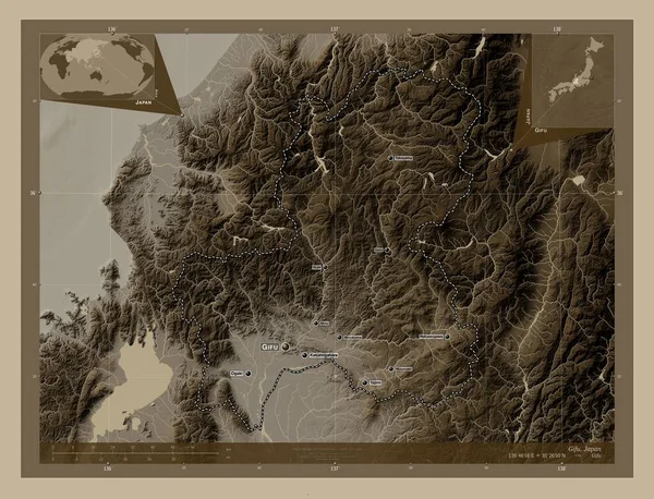
Gifu, prefecture of Japan. Elevation map colored in sepia tones with lakes and rivers. Locations and names of major cities of the region. Corner auxiliary location maps
Gifu Prefecture Japan Elevation Map Colored Sepia Tones Lakes Rivers — Stock Photo, Image
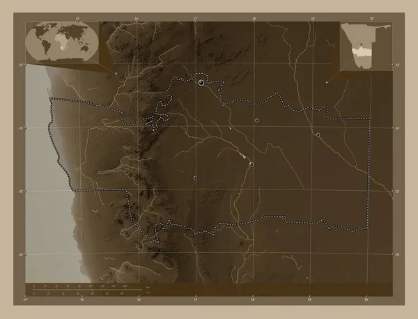
Hardap, region of Namibia. Elevation map colored in sepia tones with lakes and rivers. Locations of major cities of the region. Corner auxiliary location maps
Hardap Region Namibia Elevation Map Colored Sepia Tones Lakes Rivers — Stock Photo, Image
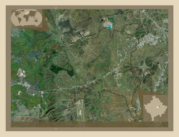
Fushe Kosove, municipality of Kosovo. High resolution satellite map. Locations of major cities of the region. Corner auxiliary location maps
Fushe Kosove Municipality Kosovo High Resolution Satellite Map Locations Major — Stock Photo, Image
Fushe Kosove, municipality of Kosovo. High resolution satellite map. Corner auxiliary location maps
Fushe Kosove Municipality Kosovo High Resolution Satellite Map Corner Auxiliary — Stock Photo, Image
Fushe Kosove, municipality of Kosovo. High resolution satellite map. Locations of major cities of the region. Corner auxiliary location maps
Fushe Kosove Municipality Kosovo High Resolution Satellite Map Locations Major — Stock Photo, Image
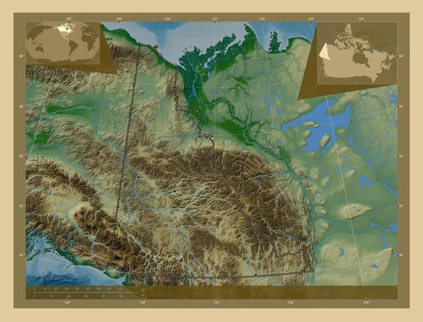
Yukon, territory of Canada. Colored elevation map with lakes and rivers. Locations of major cities of the region. Corner auxiliary location maps
Yukon Territory Canada Colored Elevation Map Lakes Rivers Locations Major — Stock Photo, Image
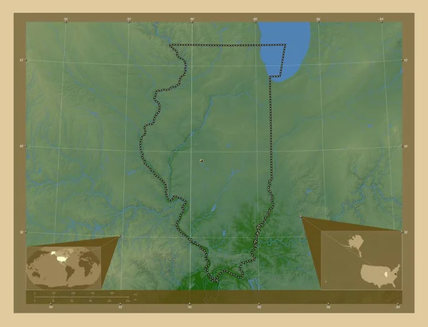
Illinois, state of United States of America. Colored elevation map with lakes and rivers. Corner auxiliary location maps
Illinois State United States America Colored Elevation Map Lakes Rivers — Stock Photo, Image
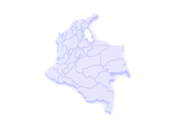
Map of Norte de Santander. Colombia.
Map of Norte de Santander. Colombia. — Stock Photo, Image
Uusimaa, region of Finland. Colored elevation map with lakes and rivers. Corner auxiliary location maps
Uusimaa Region Finland Colored Elevation Map Lakes Rivers Corner Auxiliary — Stock Photo, Image
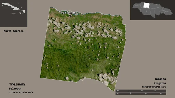
Shape of Trelawny, parish of Jamaica, and its capital. Distance scale, previews and labels. Satellite imagery. 3D rendering
Shape Trelawny Parish Jamaica Its Capital Distance Scale Previews Labels — Stock Photo, Image
3D Isometric Flag Illustration of a map of the world with the fl
3D Isometric Flag Illustration of a map of the world with the fl — Stock Photo, Image
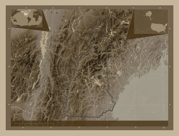
New Hampshire, state of United States of America. Elevation map colored in sepia tones with lakes and rivers. Corner auxiliary location maps
New Hampshire State United States America Elevation Map Colored Sepia — Stock Photo, Image
Laane, county of Estonia. Colored elevation map with lakes and rivers. Locations of major cities of the region. Corner auxiliary location maps
Laane County Estonia Colored Elevation Map Lakes Rivers Locations Major — Stock Photo, Image
Washington, state of United States of America. Low resolution satellite map. Locations and names of major cities of the region. Corner auxiliary location maps
Washington State United States America Low Resolution Satellite Map Locations — Stock Photo, Image
Satakunta, region of Finland. Low resolution satellite map. Locations of major cities of the region. Corner auxiliary location maps
Satakunta Region Finland Low Resolution Satellite Map Locations Major Cities — Stock Photo, Image
Kyoto, urban prefecture of Japan. Low resolution satellite map. Locations and names of major cities of the region. Corner auxiliary location maps
Kyoto Urban Prefecture Japan Low Resolution Satellite Map Locations Names — Stock Photo, Image
Mwaro, province of Burundi. Low resolution satellite map. Corner auxiliary location maps
Mwaro Province Burundi Low Resolution Satellite Map Corner Auxiliary Location — Stock Photo, Image
Mwaro, province of Burundi. Low resolution satellite map. Locations of major cities of the region. Corner auxiliary location maps
Mwaro Province Burundi Low Resolution Satellite Map Locations Major Cities — Stock Photo, Image
Yukon, territory of Canada. Colored elevation map with lakes and rivers. Corner auxiliary location maps
Yukon Territory Canada Colored Elevation Map Lakes Rivers Corner Auxiliary — Stock Photo, Image
Satakunta, region of Finland. Colored elevation map with lakes and rivers. Locations of major cities of the region. Corner auxiliary location maps
Satakunta Region Finland Colored Elevation Map Lakes Rivers Locations Major — Stock Photo, Image
North Dakota, state of United States of America. Grayscale elevation map with lakes and rivers. Locations of major cities of the region. Corner auxiliary location maps
North Dakota State United States America Grayscale Elevation Map Lakes — Stock Photo, Image
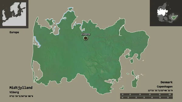
Shape of Midtjylland, region of Denmark, and its capital. Distance scale, previews and labels. Topographic relief map. 3D rendering
Shape Midtjylland Region Denmark Its Capital Distance Scale Previews Labels — Stock Photo, Image
Hyogo, prefecture of Japan. High resolution satellite map. Locations of major cities of the region. Corner auxiliary location maps
Hyogo Prefecture Japan High Resolution Satellite Map Locations Major Cities — Stock Photo, Image
Northern, region of Zambia. Elevation map colored in sepia tones with lakes and rivers. Locations of major cities of the region. Corner auxiliary location maps
Northern Region Zambia Elevation Map Colored Sepia Tones Lakes Rivers — Stock Photo, Image
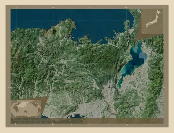
Kyoto, urban prefecture of Japan. High resolution satellite map. Corner auxiliary location maps
Kyoto Urban Prefecture Japan High Resolution Satellite Map Corner Auxiliary — Stock Photo, Image
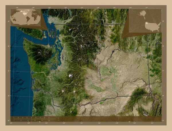
Washington, state of United States of America. Low resolution satellite map. Corner auxiliary location maps
Washington State United States America Low Resolution Satellite Map Corner — Stock Photo, Image
Vestfirir, region of Iceland. Colored elevation map with lakes and rivers. Locations of major cities of the region. Corner auxiliary location maps
Vestfirir Region Iceland Colored Elevation Map Lakes Rivers Locations Major — Stock Photo, Image
Tavastia Proper, region of Finland. Colored elevation map with lakes and rivers. Corner auxiliary location maps
Tavastia Proper Region Finland Colored Elevation Map Lakes Rivers Corner — Stock Photo, Image
Nunavut, territory of Canada. Elevation map colored in sepia tones with lakes and rivers
Nunavut Territory Canada Elevation Map Colored Sepia Tones Lakes Rivers — Stock Photo, Image
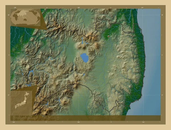
Fukushima, prefecture of Japan. Colored elevation map with lakes and rivers. Corner auxiliary location maps
Fukushima Prefecture Japan Colored Elevation Map Lakes Rivers Corner Auxiliary — Stock Photo, Image
Southern, region of Zambia. Grayscale elevation map with lakes and rivers. Corner auxiliary location maps
Southern Region Zambia Grayscale Elevation Map Lakes Rivers Corner Auxiliary — Stock Photo, Image
Trelawny, parish of Jamaica. Solid color shape. Corner auxiliary location maps
Trelawny Parish Jamaica Solid Color Shape Corner Auxiliary Location Maps — Stock Photo, Image
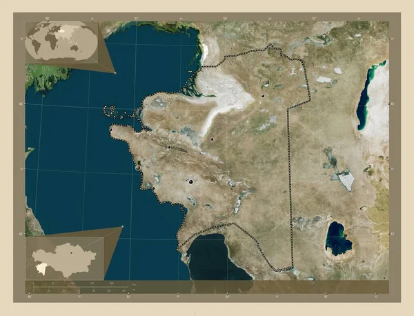
Mangghystau, region of Kazakhstan. High resolution satellite map. Locations of major cities of the region. Corner auxiliary location maps
Mangghystau Region Kazakhstan High Resolution Satellite Map Locations Major Cities — Stock Photo, Image
Karbala', province of Iraq. Elevation map colored in wiki style with lakes and rivers. Locations of major cities of the region. Corner auxiliary location maps
Karbala Province Iraq Elevation Map Colored Wiki Style Lakes Rivers — Stock Photo, Image

Find the Best Alaska Map Images for Your Next Project

When it comes to creating projects related to Alaska's geography, having the right Alaska Map Images can make a huge difference in catching the viewer's attention. Whether you are designing a website, presentation, brochure, or publications, finding high-quality images is crucial to make your project look professional. In this search page overview, we'll dive deep into the types of Alaska map images you can use, where to find them, and how to use them correctly.

The Types of Alaska Map Images Available

There is a wide range of Alaska map images available in various file formats, including JPG, AI, and EPS. You can find images that range from standard outlines of the state to exceptionally detailed images with topographical features, satellite imagery, and more. Topographic maps are especially useful if you're working on a project that requires detailed geographical information.

Other types of Alaska map images that you can use include physical, political, road, and tourist maps. Physical maps showcase the state's landscape and its elevation. Political maps showcase the state's boundaries and ownership. Road maps can be useful if you're working on a project that requires detailed information about the state's highways and roads. Tourist maps are perfect for showcasing the state's attractions and points of interest.

The Best Places to Find Alaska Map Images

When it comes to finding Alaska map images, there are many resources available, including stock image websites, government websites, and map publishers. Popular sites to look for Alaska map images include Getty Images, Shutterstock, iStock, and Adobe Stock. These sites offer a wide range of high-quality images that you can purchase and download instantly.
The United States Geological Survey (USGS) is another great resource for Alaska map images. They offer an extensive collection of topographical maps, aerial imagery, and satellite imagery. You can download these images for free, but be sure to read the terms of use before using them for commercial purposes.

How to Use Alaska Map Images Correctly

When using Alaska map images in your projects, it's essential to use them correctly to avoid any copyright or legal issues. Always make sure you have the proper licensing for any images you use. If you're not sure, it's best to contact the owner of the image and get permission before using it.

It's also important to consider the context in which you're using the image. If you're using the image on a website or social media post, make sure it's optimized for web use. If you're using the image in print, make sure it's high quality and that you have a high-resolution version. Consider the color scheme of your project and the image’s lighting before using it.

Conclusion

Alaska map images can be a great addition to any project related to Alaska's geography. With the wide range of resources available, you can find the right image for your project, whether you're looking for a physical map or topographic map. When using these images, make sure you have the correct licensing and consider the context in which you’re using them. By following these simple tips, you can make sure your project looks professional and polished.