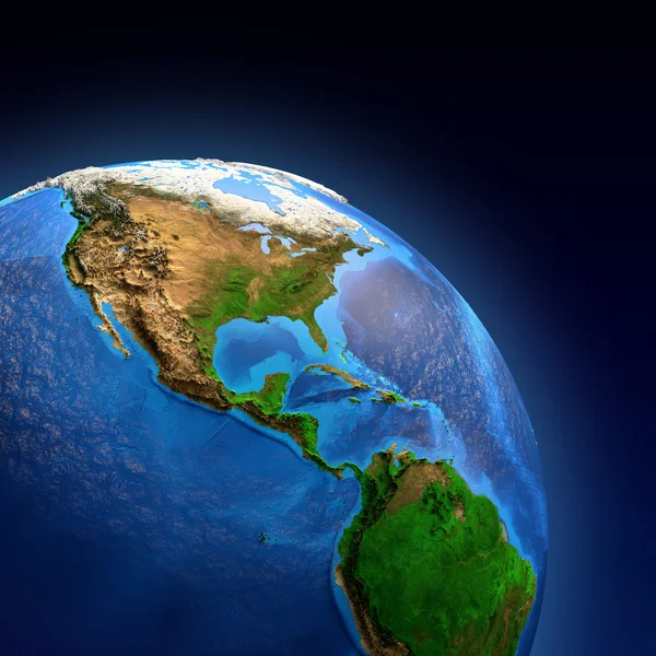
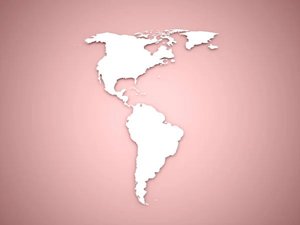
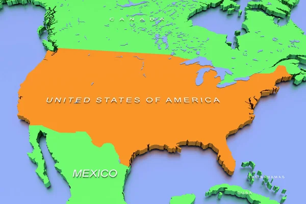
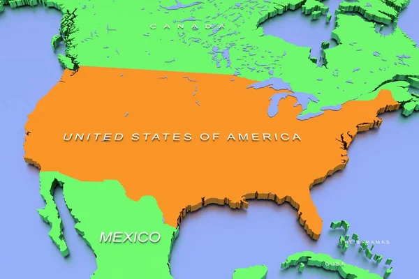
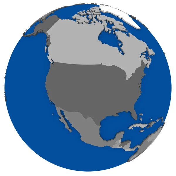
Planet Earth landforms
Planet Earth landforms — Stock Photo, Image
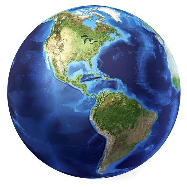
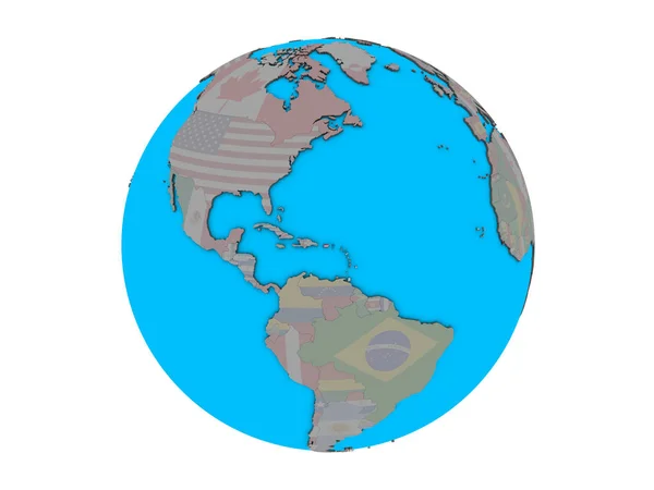
Earth globe, realistic 3 D rendering. Americas view. (Source map
Earth globe, realistic 3 D rendering. Americas view. (Source map — Stock Photo, Image
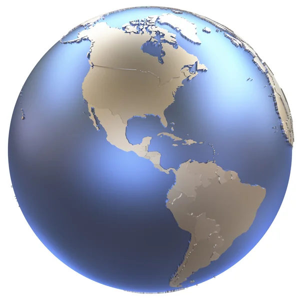
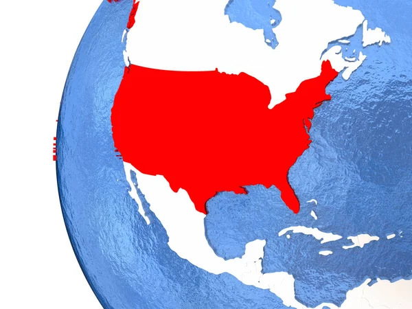
Americas on metallic Earth
Americas on metallic Earth — Stock Photo, Image
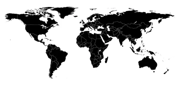
Detail world map
Detail world map — Stock Photo, Image
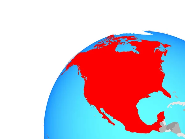
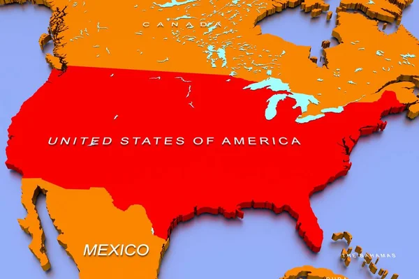
America continent on red
America continent on red — Stock Photo, Image
Planet earth with some clouds
Planet earth with some clouds — Stock Photo, Image
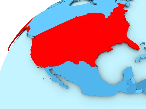
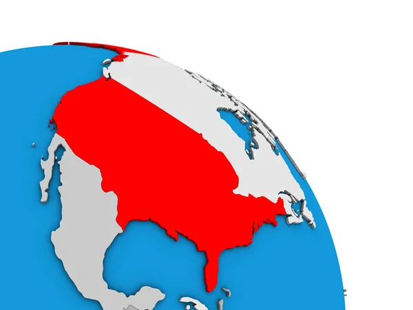
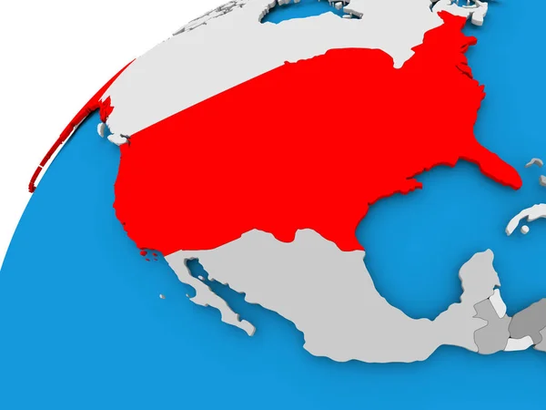
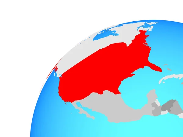
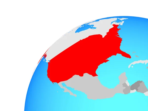
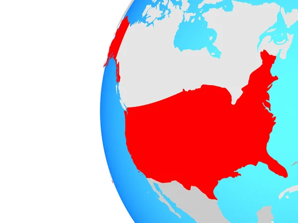
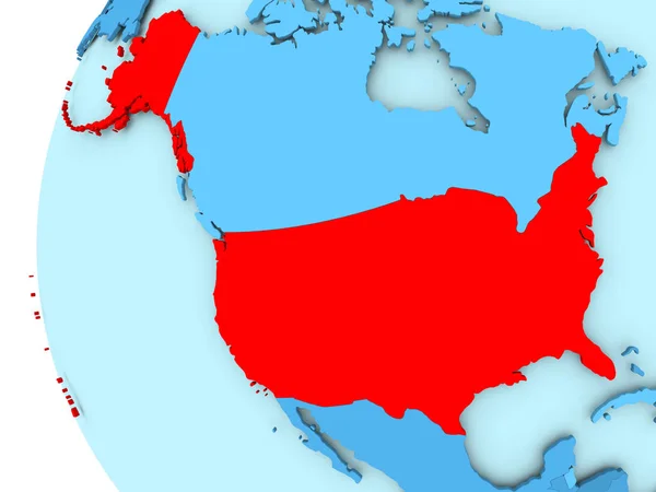
USA on blue globe
USA on blue globe — Stock Photo, Image
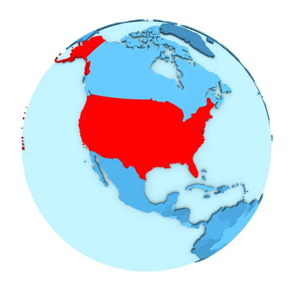
USA on globe isolated
USA on globe isolated — Stock Photo, Image
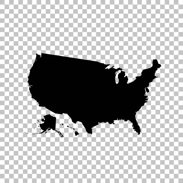
Black and white USA map
Black and white USA map — Stock Photo, Image
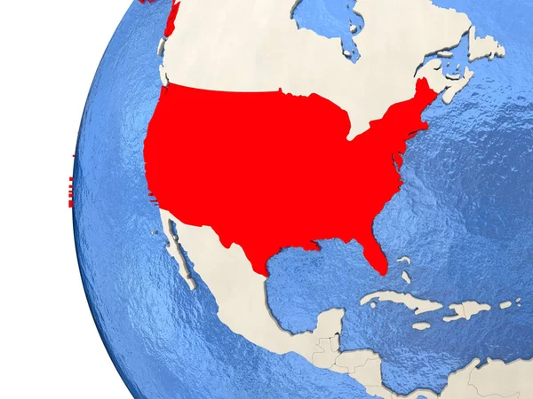
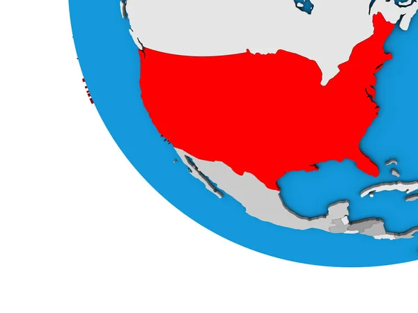
USA on 3D globe
USA on 3D globe — Stock Photo, Image
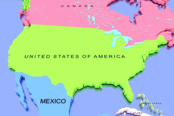
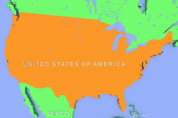
Three dimensional rendered map of North America with country names
Three Dimensional Rendered Map North America Country Names — Stock Photo, Image
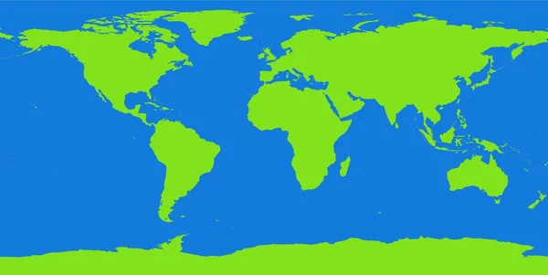
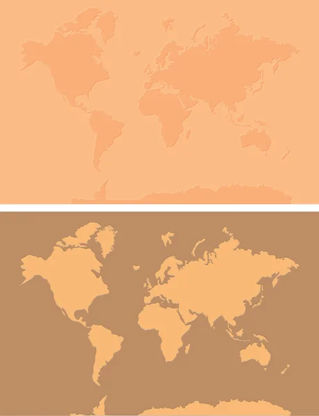
World map contour continents
World map contour continents — Stock Photo, Image
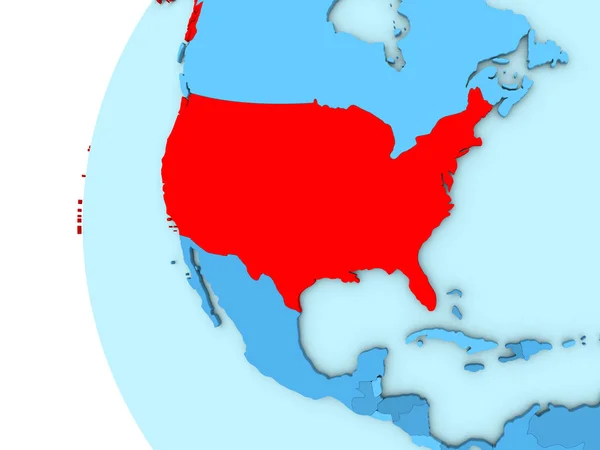
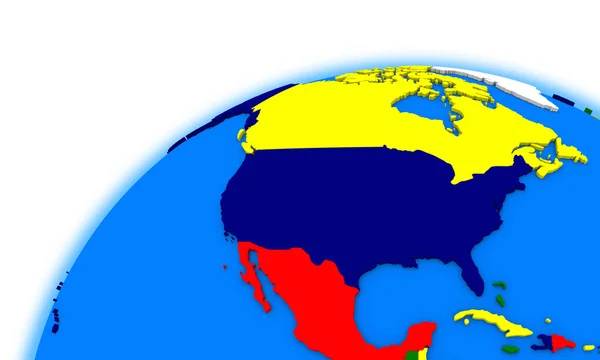
North America on Earth political map
North America on Earth political map — Stock Photo, Image
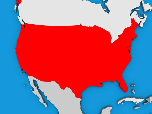
USA on simple blue political 3D globe. 3D illustration.
Usa Simple Blue Political Globe Illustration — Stock Photo, Image
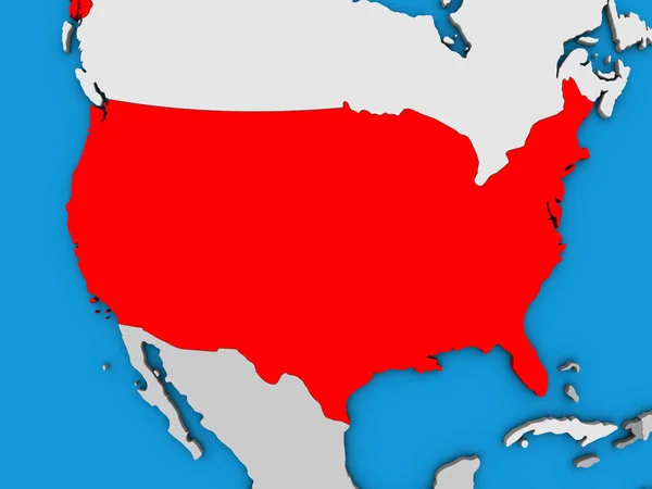
USA on simple 3D globe. 3D illustration.
Usa Simple Globe Illustration — Stock Photo, Image
Old world map
Old world map — Stock Photo, Image
North America on globe political map
North America on globe political map — Stock Photo, Image
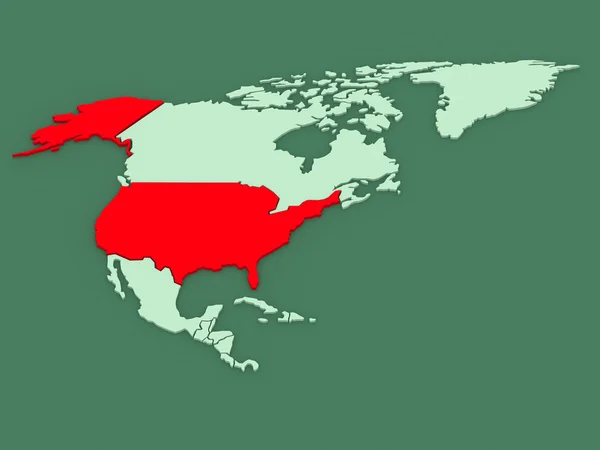
Map of USA in red
Map of USA in red — Stock Photo, Image
NAFTA memeber states on blue political 3D globe. 3D illustration.
Nafta Memeber States Blue Political Globe Illustration — Stock Photo, Image
USA on globe
USA on globe — Stock Photo, Image
A 3D render of a map of the COVID-19 virus pandemic with bright colors in the USA
Render Map Covid Virus Pandemic Bright Colors Usa — Stock Photo, Image
United States flag maps From A to M
United States flag maps From A to M — Stock Photo, Image
Map of USA
Map of USA — Stock Photo, Image
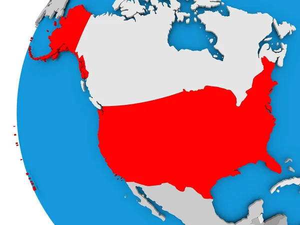
USA on grey political globe
USA on grey political globe — Stock Photo, Image
3D rendered map of COVID-19 virus pandemic with bright colors in USA
Rendered Map Covid Virus Pandemic Bright Colors Usa — Stock Photo, Image
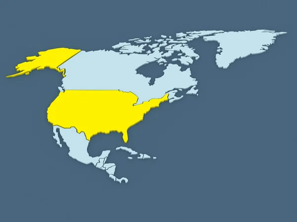
USA on 3D map
USA on 3D map — Stock Photo, Image
Map of the world with the flag of the united states of america
Map World Flag United States America — Stock Photo, Image
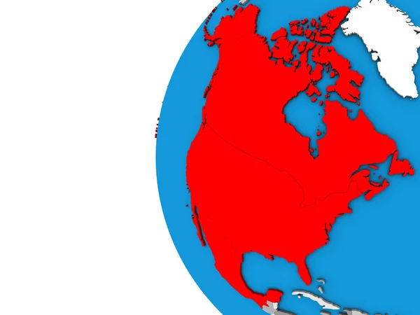
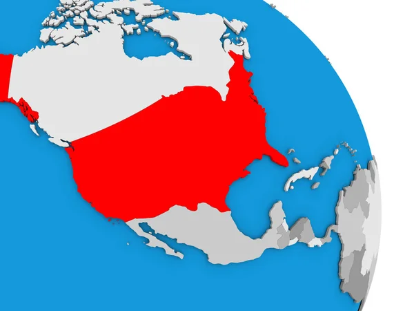
North America on 3D globe. 3D illustration.
North America Globe Illustration — Stock Photo, Image
NAFTA memeber states on globe. 3D illustration.
Nafta Memeber States Globe Illustration — Stock Photo, Image
A 3D render of a map of COVID-19 virus pandemic with bright colors in the USA
Render Map Covid Virus Pandemic Bright Colors Usa — Stock Photo, Image
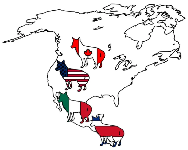
Coyote America
Coyote America — Stock Photo, Image
Recessed Country Map USA
Recessed Country Map USA — Stock Photo, Image
USA on globe. 3D illustration.
Usa Globe Illustration — Stock Photo, Image
USA on globe. 3D illustration.
Usa Globe Illustration — Stock Photo, Image
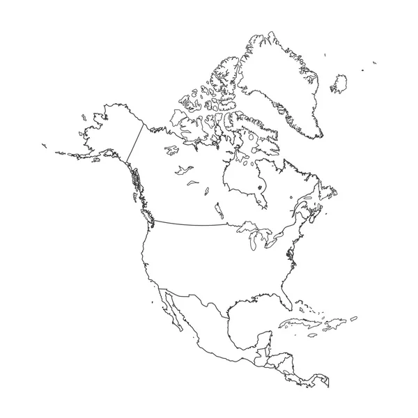
Outline on clean background of the continent of North America
Outline on clean background of the continent of North America — Stock Photo, Image
Map of worlds. USA.
Map of worlds. USA. — Stock Photo, Image
United States on blue political 3D globe. 3D illustration.
United States Blue Political Globe Illustration — Stock Photo, Image
United States on blue political 3D globe. 3D illustration.
United States Blue Political Globe Illustration — Stock Photo, Image
Welcome to the United States
Welcome to the United States — Stock Photo, Image
North America on political model of Earth
North America on political model of Earth — Stock Photo, Image
USA on globe
USA on globe — Stock Photo, Image
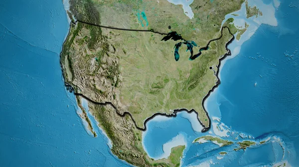
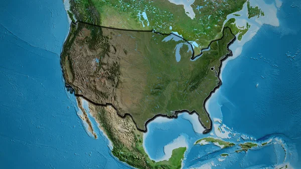
Close-up of the United States of America border area highlighting with a dark overlay on a satellite map. Capital point. Bevelled edges of the country shape.
Close United States America Border Area Highlighting Dark Overlay Satellite — Stock Photo, Image
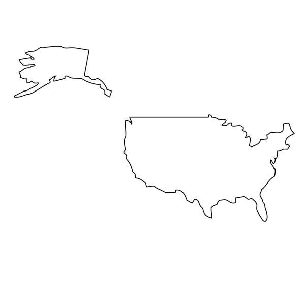
Map USA. Isolated Illustration. Black on White background.
Map Usa Isolated Illustration Black White Background — Stock Photo, Image
3D rendered map of COVID-19 virus pandemic with bright colors in USA
Rendered Map Covid Virus Pandemic Bright Colors Usa — Stock Photo, Image
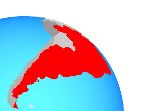
Mercosur memebers on simple blue political globe. 3D illustration.
Mercosur Memebers Simple Blue Political Globe Illustration — Stock Photo, Image
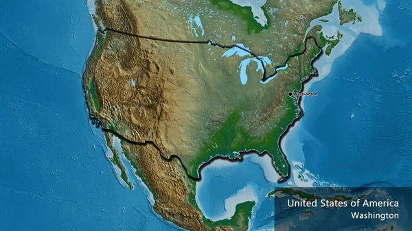
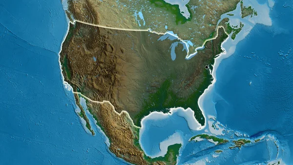
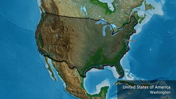
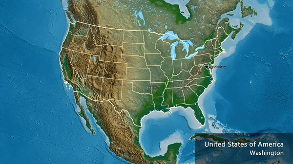
Close-up of the United States of America border area on a physical map. Capital point. Bevelled edges of the country shape. English name of the country and its capital
Close United States America Border Area Physical Map Capital Point — Stock Photo, Image
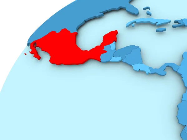
Mexico on blue globe
Mexico on blue globe — Stock Photo, Image
USA on blue political globe. 3D illustration.
Usa Blue Political Globe Illustration — Stock Photo, Image
USA on globe
USA on globe — Stock Photo, Image
Blue USA map on white background, 3D rendering
Blue Usa Map White Background Rendering — Stock Photo, Image
Liberia on 3D globe
Liberia on 3D globe — Stock Photo, Image
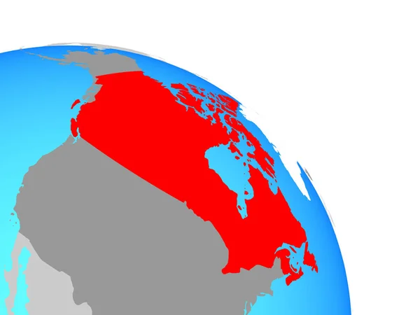
Canada on simple blue political globe. 3D illustration.
Canada Simple Blue Political Globe Illustration — Stock Photo, Image
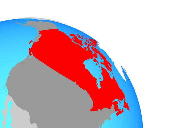
Canada on simple blue political globe. 3D illustration.
Canada Simple Blue Political Globe Illustration — Stock Photo, Image
USA 3D White Map
USA 3D White Map — Stock Photo, Image
North America on Earth political map
North America on Earth political map — Stock Photo, Image
Puerto Rico with embedded national flag on blue political 3D globe. 3D illustration isolated on white background.
Puerto Rico Embedded National Flag Blue Political Globe Illustration Isolated — Stock Photo, Image
Illustration on isolated background of the continent of North Am
Illustration on isolated background of the continent of North Am — Stock Photo, Image
USA on blue political globe
USA on blue political globe — Stock Photo, Image
Arab League on simple blue political globe. 3D illustration.
Arab League Simple Blue Political Globe Illustration — Stock Photo, Image
Arab League on simple blue political globe. 3D illustration.
Arab League Simple Blue Political Globe Illustration — Stock Photo, Image
3D rendered map of COVID-19 virus pandemic in USA in red and gold colors
Rendered Map Covid Virus Pandemic Usa Red Gold Colors — Stock Photo, Image
USA on blue political globe. 3D illustration.
Usa Blue Political Globe Illustration — Stock Photo, Image
Map Comoros. Isolated Illustration. Black on White background.
Map Comoros Isolated Illustration Black White Background — Stock Photo, Image
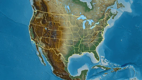
Close-up of the United States of America border area and its regional borders on a relief map. Capital point. Outline around the country shape.
Close United States America Border Area Its Regional Borders Relief — Stock Photo, Image
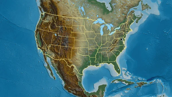
Close-up of the United States of America border area and its regional borders on a relief map. Capital point. Outline around the country shape.
Close United States America Border Area Its Regional Borders Relief — Stock Photo, Image
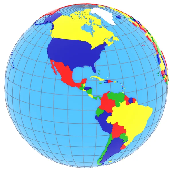
South and North America on the globe
South and North America on the globe — Stock Photo, Image
USA on blue political globe
USA on blue political globe — Stock Photo, Image
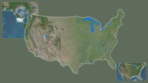
Close-up of United States and its location in the region and in the center of a large-scale world map. Satellite imagery
Close United States Its Location Region Center Large Scale World — Stock Photo, Image
Close-up of the United States of America border area highlighting with a dark overlay on a physical map. Capital point. Glow around the country shape.
Close United States America Border Area Highlighting Dark Overlay Physical — Stock Photo, Image
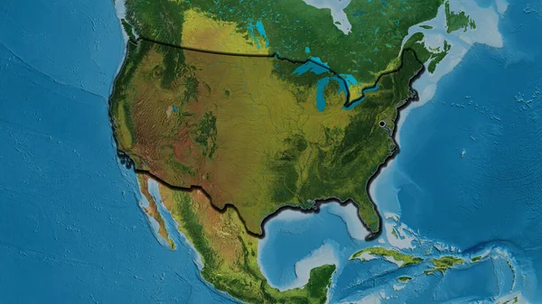
Close-up of the United States of America border area highlighting with a dark overlay on a topographic map. Capital point. Bevelled edges of the country shape.
Close United States America Border Area Highlighting Dark Overlay Topographic — Stock Photo, Image
Outline, map of the USA
Outline Map Usa — Stock Photo, Image
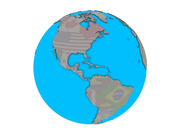
Jamaica with embedded national flag on blue political 3D globe. 3D illustration isolated on white background.
Jamaica Embedded National Flag Blue Political Globe Illustration Isolated White — Stock Photo, Image
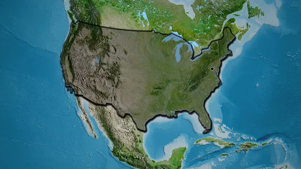
Close-up of the United States of America border area on a satellite map. Capital point. Bevelled edges of the country shape.
Close United States America Border Area Satellite Map Capital Point — Stock Photo, Image
Close-up of the United States of America border area highlighting with a dark overlay on a physical map. Capital point. Bevelled edges of the country shape. English name of the country and its capital
Close United States America Border Area Highlighting Dark Overlay Physical — Stock Photo, Image
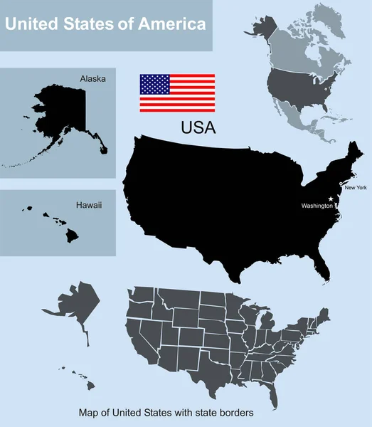
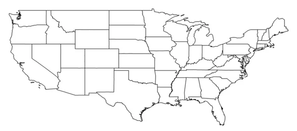
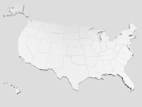
Map of United States with state borders including Alaska and Hawaii
Map United States State Borders Including Alaska Hawaii — Stock Photo, Image
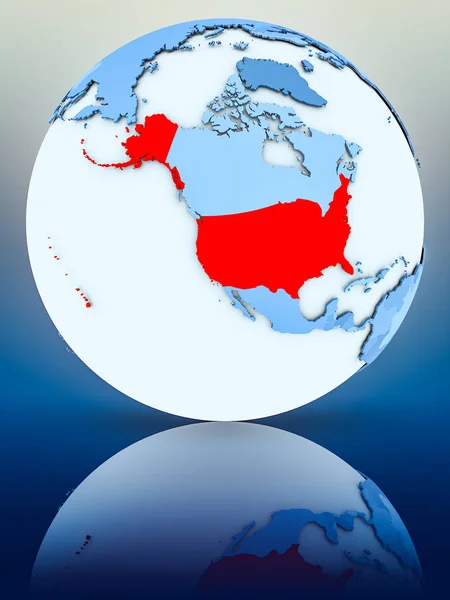
USA on blue globe on reflective surface. 3D illustration.
Usa Blue Globe Reflective Surface Illustration — Stock Photo, Image
Guatemala on globe
Guatemala on globe — Stock Photo, Image
Dotted world map in Panama flag colors isolated on grey background.
Dotted World Map Panama Flag Colors Isolated Grey Background — Stock Photo, Image
Close-up of the United States of America border area and its regional borders on a physical map. Capital point. Outline around the country shape. English name of the country and its capital
Close United States America Border Area Its Regional Borders Physical — Stock Photo, Image
Map of USA
Map of USA — Stock Photo, Image
United States
United States — Stock Photo, Image
Close-up of the United States of America border area highlighting with a dark overlay on a satellite map. Capital point. Bevelled edges of the country shape.
Close United States America Border Area Highlighting Dark Overlay Satellite — Stock Photo, Image
The red polygons map
The red polygons map — Stock Photo, Image
Map of the united states illustrated on background
Map of the united states illustrated on background — Stock Photo, Image
Map of the united states illustrated on background
Map of the united states illustrated on background — Stock Photo, Image
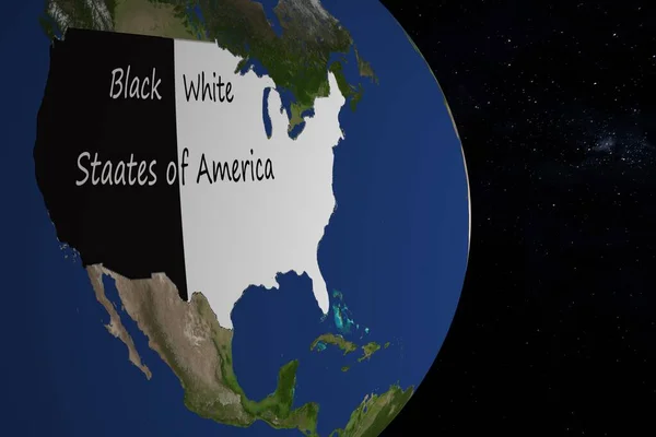
Rendered earth with black and white america to represent racism in this country
Rendered earth with black and white america to represent racism in this country — Stock Photo, Image
NAFTA memeber states on political globe. 3D illustration.
Nafta Memeber States Political Globe Illustration — Stock Photo, Image
NAFTA memeber states on simple blue political 3D globe. 3D illustration.
Nafta Memeber States Simple Blue Political Globe Illustration — Stock Photo, Image
Map of worlds. USA.
Map of worlds. USA. — Stock Photo, Image
Schematic map of the world
Schematic Map World — Stock Photo, Image
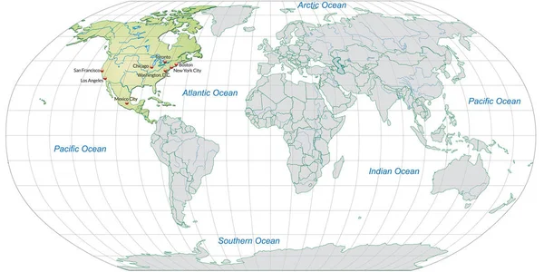
Map of north america with capitals in pastel green
Map North America Capitals Pastel Green — Stock Photo, Image
Map of USA
Map of USA — Stock Photo, Image
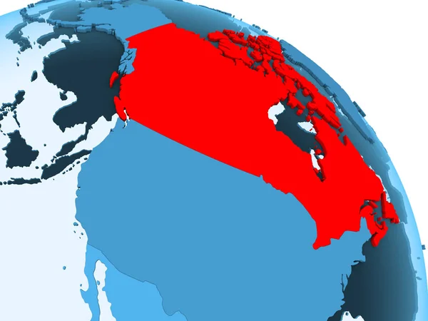
Canada highlighted on blue 3D model of political globe with transparent oceans. 3D illustration.
Canada Highlighted Blue Model Political Globe Transparent Oceans Illustration — Stock Photo, Image
Map 3D Earth with forms and colors
Map 3D Earth with forms and colors — Stock Photo, Image
Map of USA on political globe
Map of USA on political globe — Stock Photo, Image
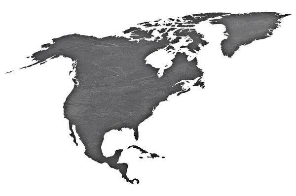
Shape of the Continent of North America
Shape of the Continent of  North America — Stock Photo, Image
Map of North America with capital cities in pastel green
Map North America Capital Cities Pastel Green — Stock Photo, Image
Map of USA with separable borders
Map of USA with separable borders — Stock Photo, Image
USA on blue globe
USA on blue globe — Stock Photo, Image
United States on simple political 3D globe. 3D illustration.
United States Simple Political Globe Illustration — Stock Photo, Image

Related image searches

Find Stunning American Continent Images with Our Large Stock Collection

Are you looking for eye-catching and high-quality American continent images for your project? Look no further! Our large stock collection has a vast selection of images that are perfect for your needs.

Our American continent images include different categories, such as landscapes, cityscapes, culture, nature, and lifestyle. These images are available in JPG, AI, and EPS formats, which are suitable for different types of projects and platforms.

The Benefits of Using Our Stock Images for American Continent

There are many benefits of using our stock images for your American continent project. Firstly, our images are royalty-free, which means you can use them multiple times without additional costs. Additionally, our images are high-quality, which ensures that your project looks professional and visually appealing.

Moreover, our American continent images are versatile, which means you can use them for different types of projects such as websites, social media, print materials, and more. Whether you are creating a travel brochure or designing a website, our images will surely elevate your project.

How to Choose the Right American Continent Images

With so many American continent images to choose from, it can be a challenge to find the perfect one for your project. One of the essential things to keep in mind is the purpose of your project. For instance, if you are creating a website for a travel agency, you'll want to use images that showcase the best destinations or attractions in American countries.

Another factor to consider when choosing American continent images is the color palette. It's essential to choose images that match the color scheme of your project to create a cohesive and professional look. Additionally, it's essential to choose images that are relevant to your target audience to create a connection and engagement.

Why Use Our Stock Images for Your American Continent Project?

Using our stock images for your American continent project offers many advantages. Firstly, our vast selection of images means you can find the perfect one that fits your project's requirements easily. Moreover, our royalty-free licensing and high-quality images make it cost-effective while ensuring that your project looks professional.

Plus, our friendly customer service team is available to help you with any questions or concerns you may have. Whether you are a beginner or an expert designer, our collection of American continent images is perfect for any project.

In conclusion, finding the perfect American continent images for your project can be challenging. However, with our vast selection of high-quality images and excellent customer support, you can easily elevate your project's visuals and make a lasting impression on your target audience.