Canada map Stock Photos

100,000 Canada map pictures are available under a royalty-free license

  • Best Match
  • Fresh
  • Popular
1-100 of 100,000
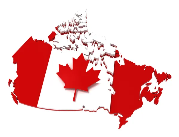
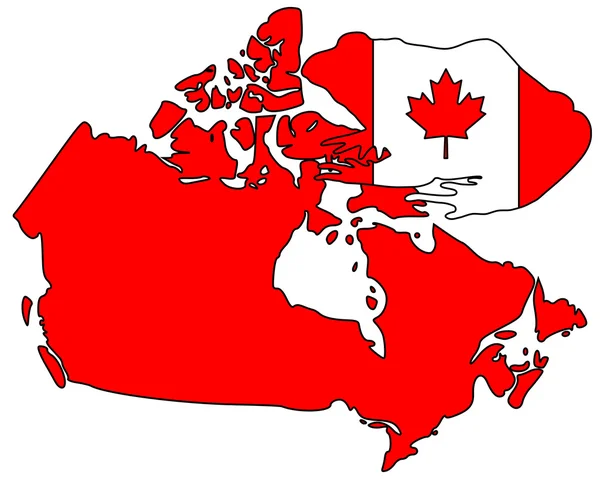
Canada, map with flag, clipping path
Canada, map with flag, clipping path — Stock Photo, Image
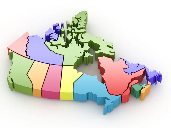
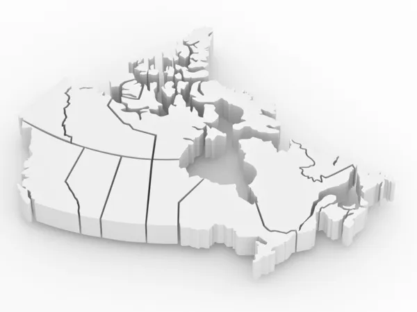
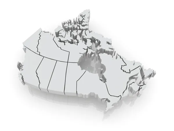
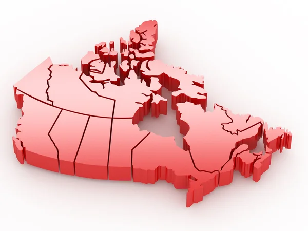
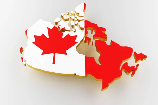
Three-dimensional map of Canada. 3d
Three-dimensional map of Canada. 3d — Stock Photo, Image
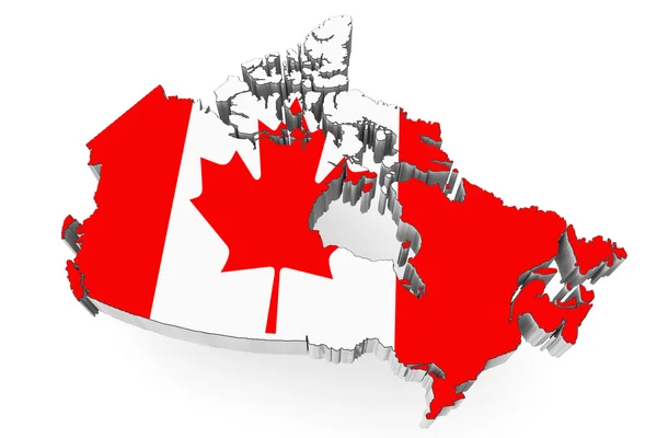
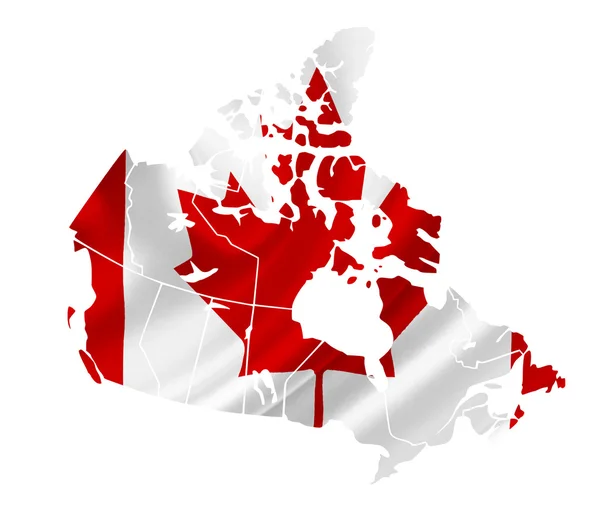
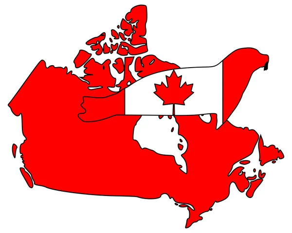
Canada map with flag
Canada map with flag — Stock Photo, Image
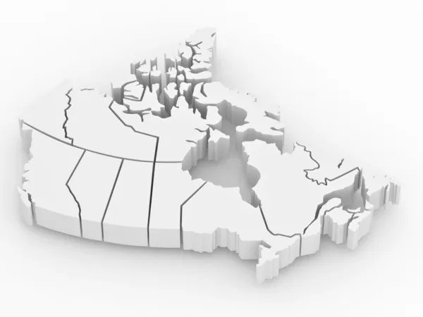
Three-dimensional map of Canada. 3d
Three-dimensional map of Canada. 3d — Stock Photo, Image
Three-dimensional map of Canada. 3d
Three-dimensional map of Canada. 3d — Stock Photo, Image
Grunge Canada flag
Grunge Canada flag — Stock Photo, Image
Three-dimensional map of Canada.
Three-dimensional map of Canada. — Stock Photo, Image
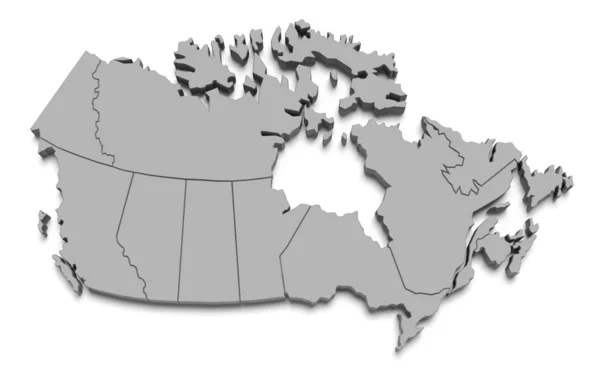
Canada map on white
Canada map on white — Stock Photo, Image
Three-dimensional map of Canada. 3d
Three-dimensional map of Canada. 3d — Stock Photo, Image
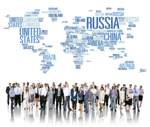
Russia Global World International Countries Globalization Concept
Russia Global World International Countries Globalization Concept — Stock Photo, Image
Apple with carved continents. North and South America
Apple with carved continents. North and South America — Stock Photo, Image
Green cantaloupe melon isolated
Green cantaloupe melon isolated — Stock Photo, Image
Generic Medicate concept
Generic Medicate concept — Stock Photo, Image
Map of Canada with national flag
Map of Canada with national flag — Stock Photo, Image
Canadian flag map
Canadian flag map — Stock Photo, Image
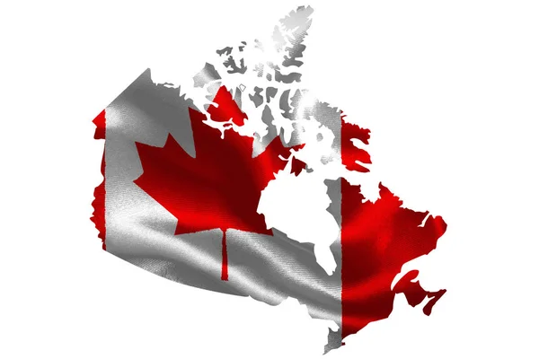
Map of Canada with waving flag isolated on white
Map of Canada with waving flag isolated on white — Stock Photo, Image
Three-dimensional map of Canada on white isolated background
Three-dimensional map of Canada on white isolated background — Stock Photo, Image
Canada Map
Canada Map — Stock Photo, Image
Earth
Earth — Stock Photo, Image
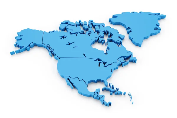
Extruded map of north america with national borders
Extruded map of north america with national borders — Stock Photo, Image
America
America — Stock Photo, Image
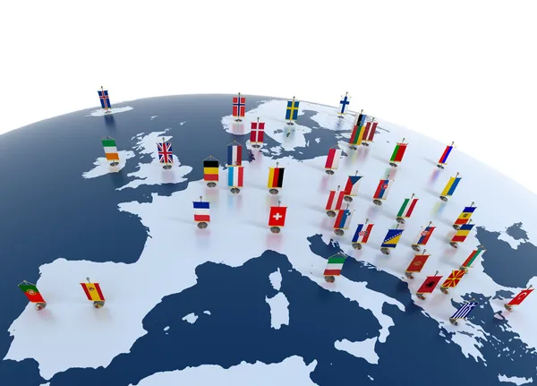
European continent marked with flags
European continent marked with flags — Stock Photo, Image
Mango with section on a white background
Mango with section on a white background — Stock Photo, Image
Coconuts with milk splash and leaf on white background
Coconuts with milk splash and leaf on white background — Stock Photo, Image
France flag on the wall
France flag on the wall — Stock Photo, Image
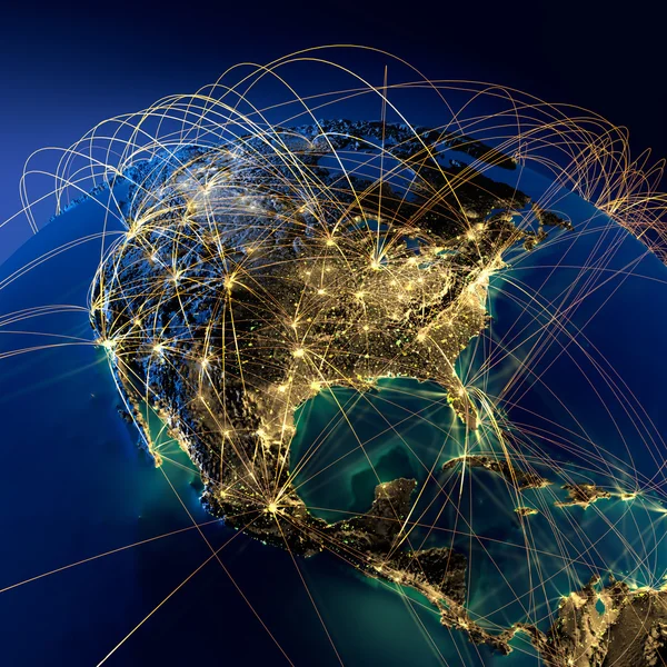
Main air routes in North America
Main air routes in North America — Stock Photo, Image
Canada in watercolor
Canada in watercolor — Stock Photo, Image
Bullfrog Canada
Bullfrog Canada — Stock Photo, Image
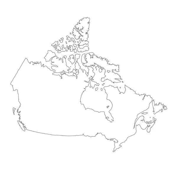
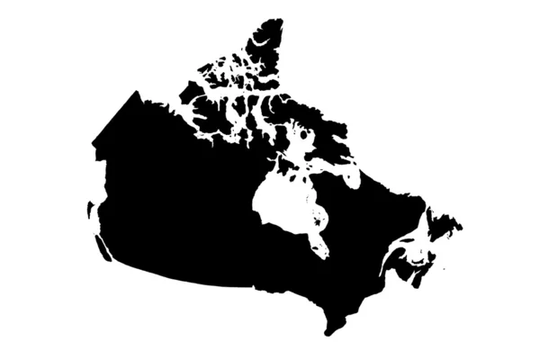
Map Canada. Isolated Illustration. Black on White background.
Map Canada Isolated Illustration Black White Background — Stock Photo, Image
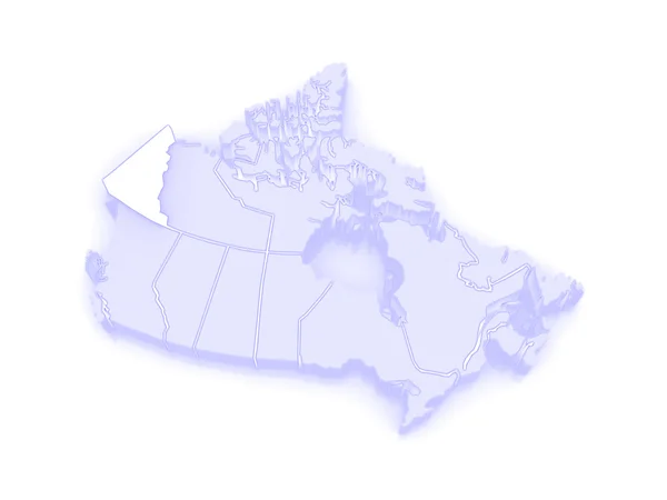
Map of Yukon. Canada.
Map of Yukon. Canada. — Stock Photo, Image
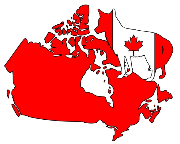
Coyote Canada
Coyote Canada — Stock Photo, Image
White maple leaf vertical
White maple leaf vertical — Stock Photo, Image
Welcome to Canada
Welcome to Canada — Stock Photo, Image
Map of Canada land border with flag. Canada map on white background. 3d rendering
Map of Canada land border with flag. Canada map on white background. 3d rendering — Stock Photo, Image
Nunavut on map of canada
Nunavut on map of canada — Stock Photo, Image
Map of Nova Scotia. Canada.
Map of Nova Scotia. Canada. — Stock Photo, Image
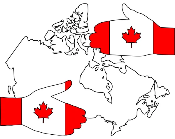
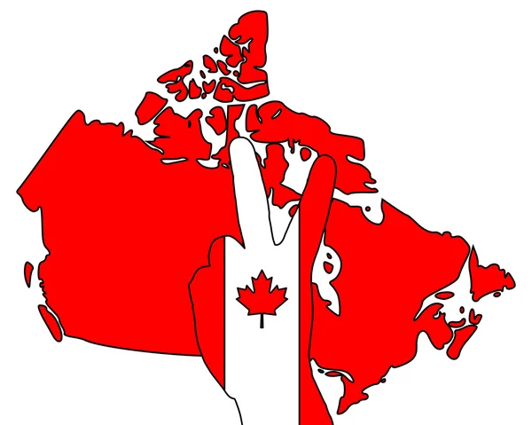
Canadian hand signal
Canadian hand signal — Stock Photo, Image
Map of Canada on globe
Map of Canada on globe — Stock Photo, Image
Map Canada. Isolated Illustration. Black on White background.
Map Canada Isolated Illustration Black White Background — Stock Photo, Image
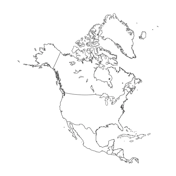
Outline on clean background of the continent of North America
Outline on clean background of the continent of North America — Stock Photo, Image
New brunswick on map of canada
New brunswick on map of canada — Stock Photo, Image
3d Render of Canada
3d Render of Canada — Stock Photo, Image
Map Canada. Isolated Illustration. Black on White background.
Map Canada Isolated Illustration Black White Background — Stock Photo, Image
Canadian moose
Canadian moose — Stock Photo, Image
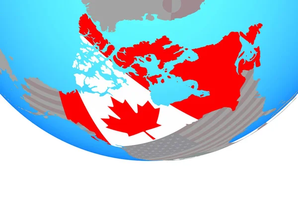
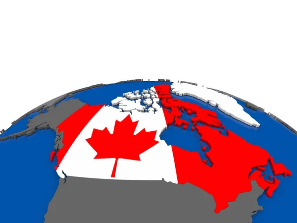
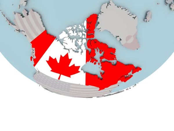
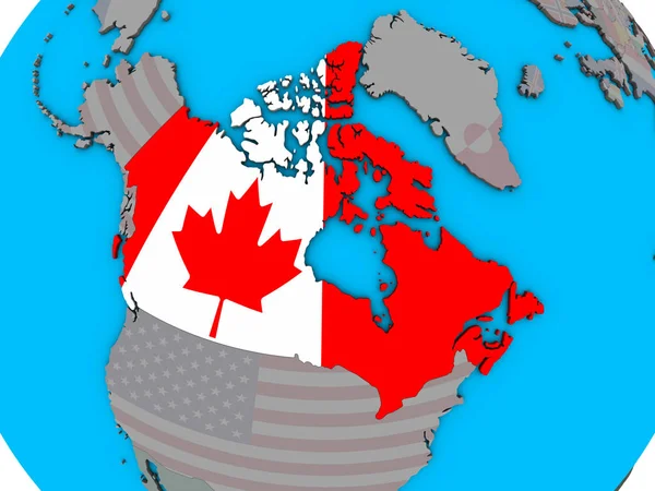
Canada with national flag on simple political globe. 3D illustration.
Canada National Flag Simple Political Globe Illustration — Stock Photo, Image
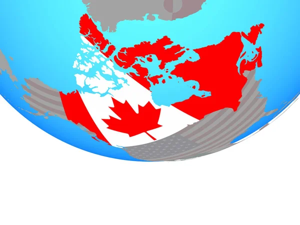
Canada with national flag on simple political globe. 3D illustration.
Canada National Flag Simple Political Globe Illustration — Stock Photo, Image
Planet Earth 3D flag with the wind Canada
Planet Earth 3D flag with the wind Canada — Stock Photo, Image
Modern art, digital illustration wallpaper
Modern Art Digital Illustration Wallpaper — Stock Photo, Image
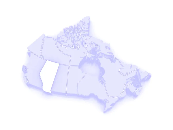
Map of Alberta. Canada.
Map of Alberta. Canada. — Stock Photo, Image
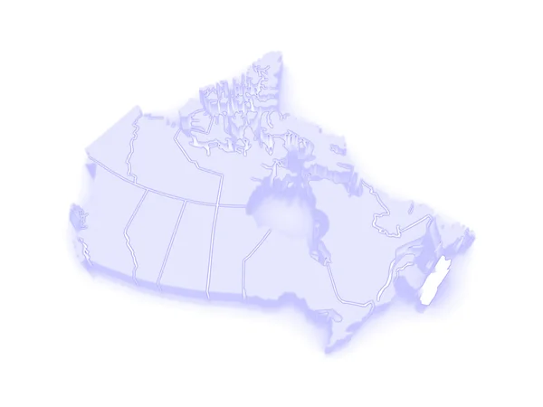
Map of Newfoundland and Labrador. Canada.
Map of Newfoundland and Labrador. Canada. — Stock Photo, Image
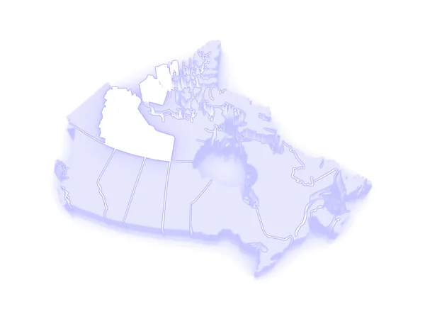
Map of Northwest Territories. Canada.
Map of Northwest Territories. Canada. — Stock Photo, Image
Map of New Brunswick. Canada.
Map of New Brunswick. Canada. — Stock Photo, Image
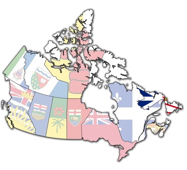
Territory map of canada
Territory map of canada — Stock Photo, Image
Canada - Hand-Drawn Map lllustration
Canada Hand Drawn Map Lllustration — Stock Photo, Image
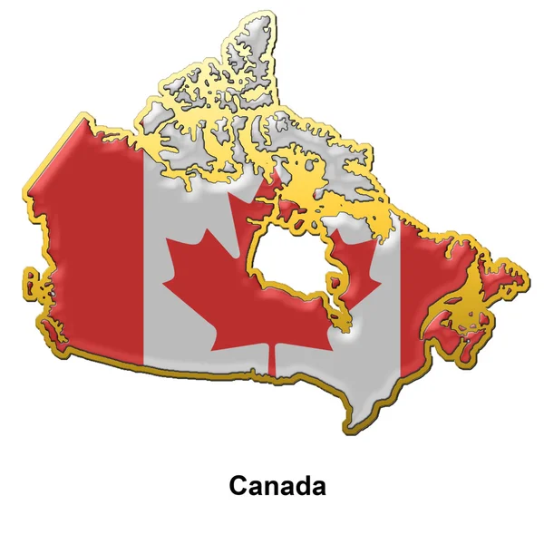
Canada metal pin badge
Canada metal pin badge — Stock Photo, Image
Canada on 3D globe
Canada on 3D globe — Stock Photo, Image
Canadia hand signal
Canadia hand signal — Stock Photo, Image
Old flag of
Old flag of — Stock Photo, Image
Vector illustration of the country name
Vector Illustration Country Name — Stock Photo, Image
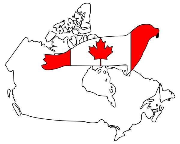
Canadian seal
Canadian seal — Stock Photo, Image
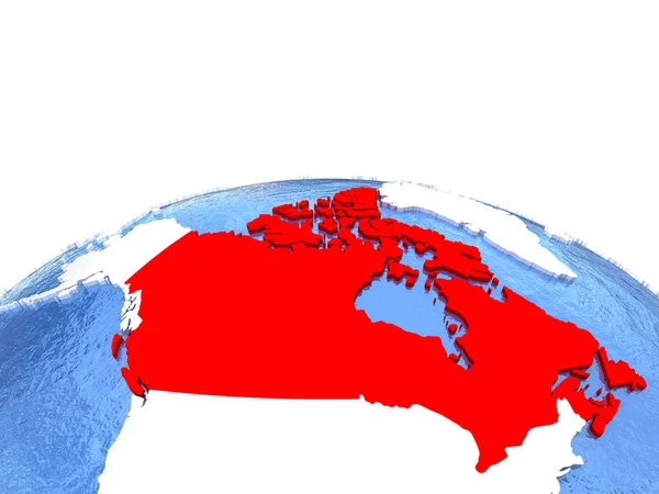
Canada on metallic globe with blue oceans
Canada on metallic globe with blue oceans — Stock Photo, Image
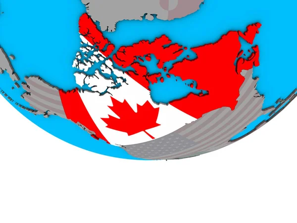
Canada with embedded national flag on simple political 3D globe. 3D illustration.
Canada Embedded National Flag Simple Political Globe Illustration — Stock Photo, Image
Lynx Canada
Lynx Canada — Stock Photo, Image
Three-dimensional map of Canada.
Three-dimensional map of Canada. — Stock Photo, Image
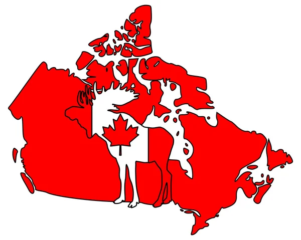
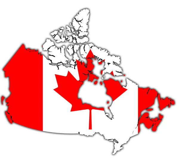
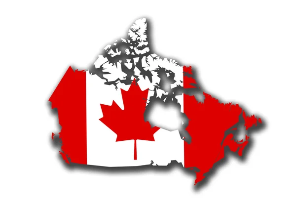
Flag of Canada in the form of a map. Shadow. Isolated on white background. Signs and symbols. Design element. Flags.
Flag Canada Form Map Shadow Isolated White Background Signs Symbols — Stock Photo, Image
Canadian seal
Canadian seal — Stock Photo, Image
Newfounland and labrador on map of canada
Newfounland and labrador on map of canada — Stock Photo, Image
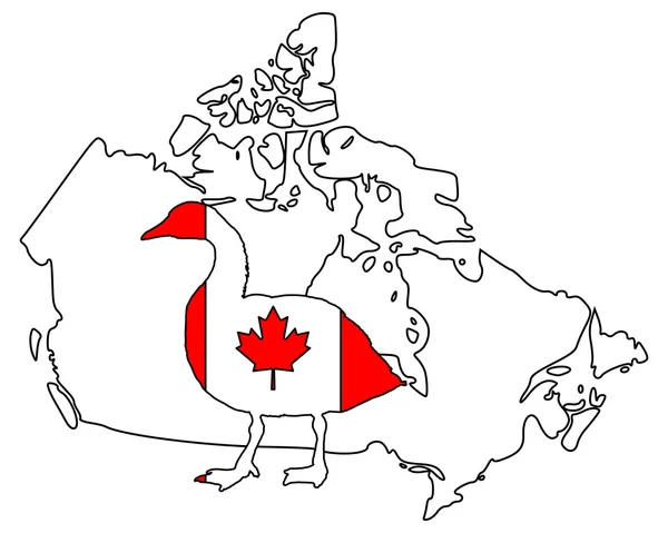
Canada goose
Canada Goose — Stock Photo, Image
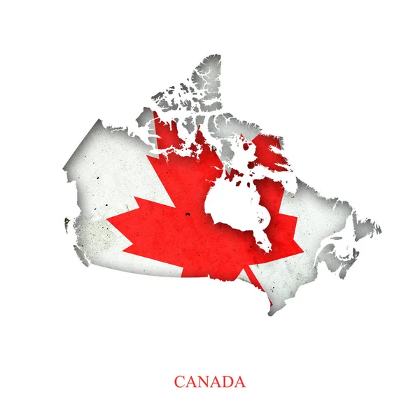
Canada
Canada — Stock Photo, Image
Outline map of canada with transparent canadian flag in backgro
Outline map of canada with transparent canadian flag in backgro — Stock Photo, Image
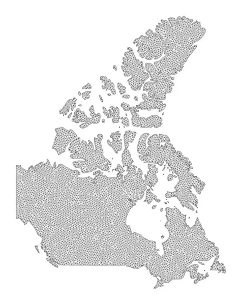
Polygonal Wire Frame Mesh High Detail Raster Map of Canada V2 Abstractions
Polygonal Wire Frame Mesh High Detail Raster Map of Canada V2 Abstractions — Stock Photo, Image
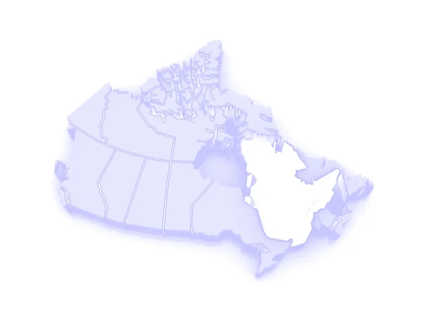
Map of Quebec. Canada.
Map of Quebec. Canada. — Stock Photo, Image
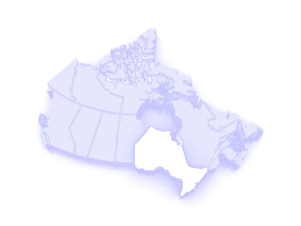
Map of Ontario. Canada.
Map of Ontario. Canada. — Stock Photo, Image
Map Canada
Map Canada — Stock Photo, Image
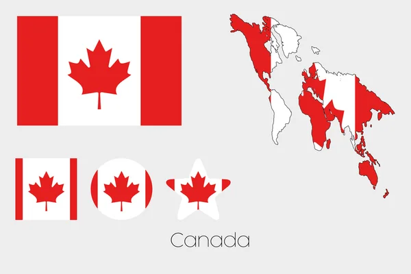
Multiple Shapes Set with the Flag of Canada
Multiple Shapes Set with the Flag of Canada — Stock Photo, Image
Map of Canada in checkerboard pattern
Map Canada Checkerboard Pattern — Stock Photo, Image
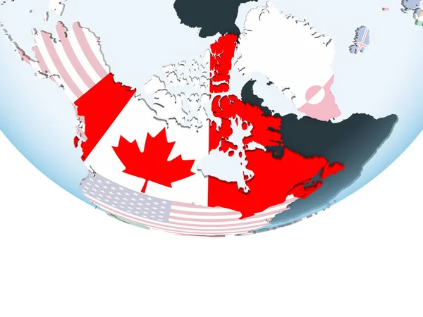
Canada on bright political globe with embedded flag. 3D illustration.
Canada Bright Political Globe Embedded Flag Illustration — Stock Photo, Image
Map of British Columbia. Canada.
Map of British Columbia. Canada. — Stock Photo, Image
Polygonal Wire Frame Mesh High Detail Raster Map of North America V2 Abstractions
Polygonal Wire Frame Mesh High Detail Raster Map of North America V2 Abstractions — Stock Photo, Image
Canadian National Flag With Map Of Canada On It 3D Rendering
Canadian National Flag With Map Of Canada On It 3D Rendering — Stock Photo, Image
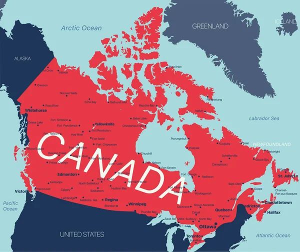
Canada country political map. Detailed illustration with isolated states, islands and cities easy to ungroup.
Canada country political map. Detailed illustration with isolated states, islands and cities easy to ungroup. — Stock Photo, Image
Canada with flag on globe
Canada with flag on globe — Stock Photo, Image
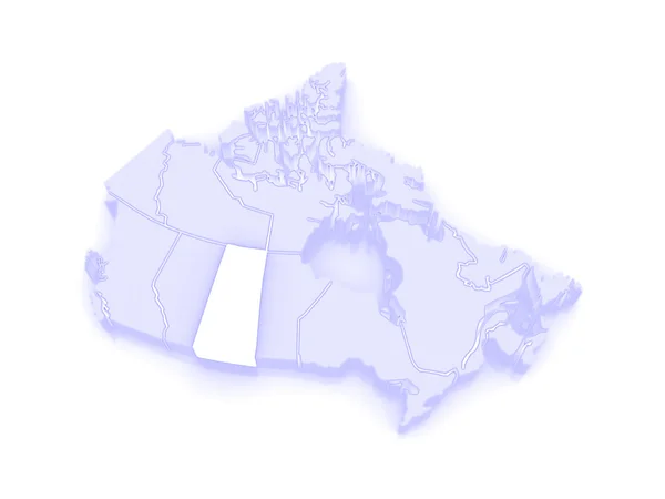
Map of Saskatchewan. Canada.
Map of Saskatchewan. Canada. — Stock Photo, Image
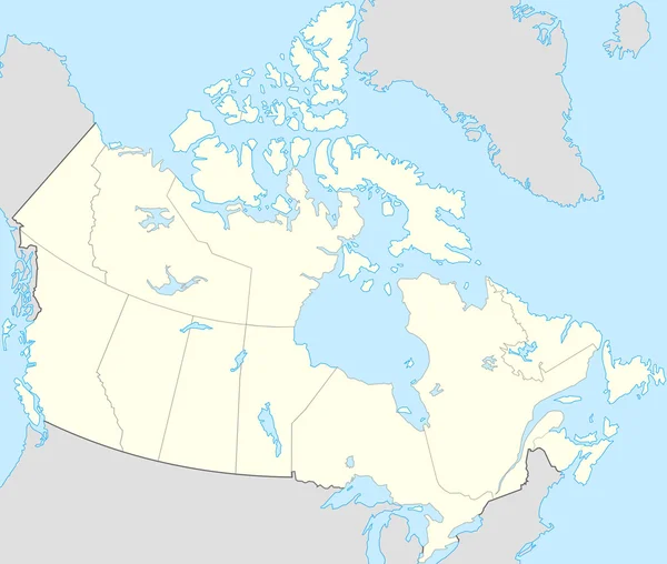
Map of Canada
Map of Canada — Stock Photo, Image
Three-dimensional map of Canada.
Three-dimensional map of Canada. — Stock Photo, Image
Country of Canada
Country of Canada — Stock Photo, Image
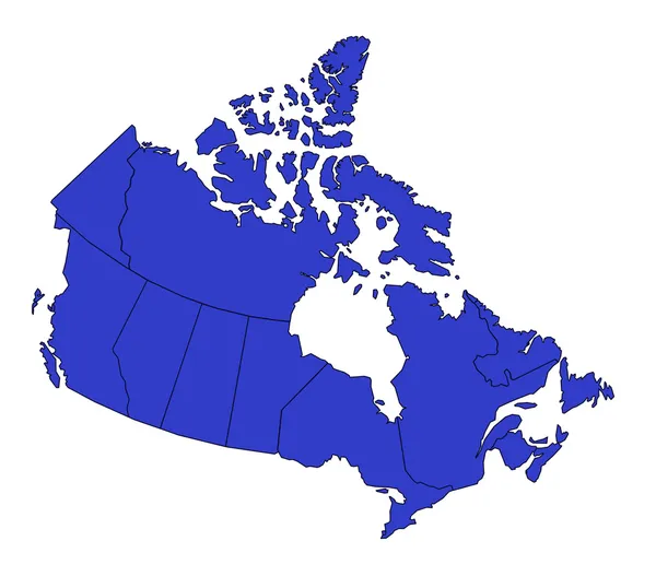
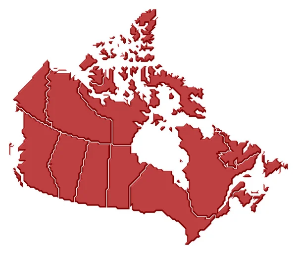
Political map of Canada with the several provinces.
Political Map Canada Several Provinces — Stock Photo, Image
Map of Canada on green felt
Map Canada Green Felt — Stock Photo, Image
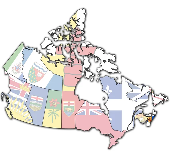
Nova scotia on map of canada
Nova scotia on map of canada — Stock Photo, Image
NAFTA memeber states on simple globe. 3D illustration.
Nafta Memeber States Simple Globe Illustration — Stock Photo, Image
Canada with embedded national flag on blue political 3D globe. 3D illustration.
Canada Embedded National Flag Blue Political Globe Illustration — Stock Photo, Image
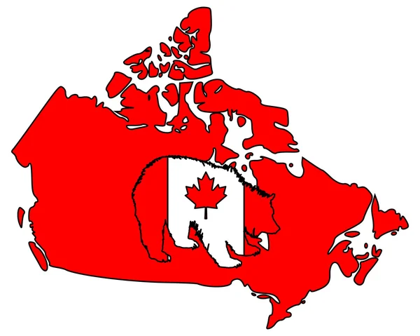
Canadian grizzly
Canadian grizzly — Stock Photo, Image
Canada Map Outline with Canadian Flag on White with Shadows 3D Illustration
Canada Map Outline with Canadian Flag on White with Shadows 3D Illustration — Stock Photo, Image
Map political abstract of the world
Map political abstract of the world — Stock Photo, Image
Map of Nunavut. Canada.
Map of Nunavut. Canada. — Stock Photo, Image

Canada Map Images: High-Quality Stock Photos for Your Next Project

When it comes to creating visually appealing designs, using the right images is crucial. If you're working on a project that requires a map of Canada, look no further than our collection of Canada map images. Our stock photos offer a high-quality visual representation of Canada with stunning graphics that can enhance any type of design project.

Available Images

We offer a range of Canada map images in various file formats such as JPG, AI, and EPS. These include political maps that show the provinces and territories, physical maps that depict the country's topography, and road maps that highlight Canada's transportation network. Whether you're creating a travel brochure, designing a website, or making a presentation, we have a selection of images that can meet your needs.

Usage and Purpose

Our Canada map images are perfect for a variety of projects, from educational materials to marketing collateral. Teachers and educators can use our maps to teach students about Canada's geography, history and culture. Travel agencies and tourism boards can incorporate our maps into brochures, websites, and posters to showcase popular destinations and attractions. Marketers can use our maps to create eye-catching visuals that promote Canada as a business destination or for advertising Canadian-made products.
Tips for Using Map Images

When using map images, it's essential to ensure that they are used correctly. Here are some tips that can help you choose and use map images effectively:

  • Make sure the map is relevant to the location or topic you're discussing.
  • Choose a map style that fits the overall design of your project.
  • Ensure that the map is clear and easy to read, with legible labels and symbols.
  • Avoid distorting the map's proportions, as this can affect its accuracy.

Conclusion

Our collection of Canada map images offers a versatile and comprehensive set of graphics that can enhance any project. Whether you're designing a brochure, creating a website or making a presentation, our high-quality images can help bring your ideas to life. With our range of file formats and extensive collection of maps, you can easily find an image that suits your needs. So why wait? Take advantage of our collection of Canada map images today and elevate your next project's visual appeal!