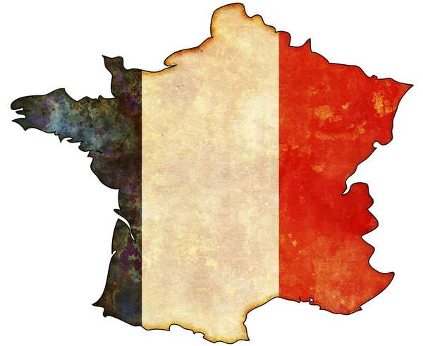
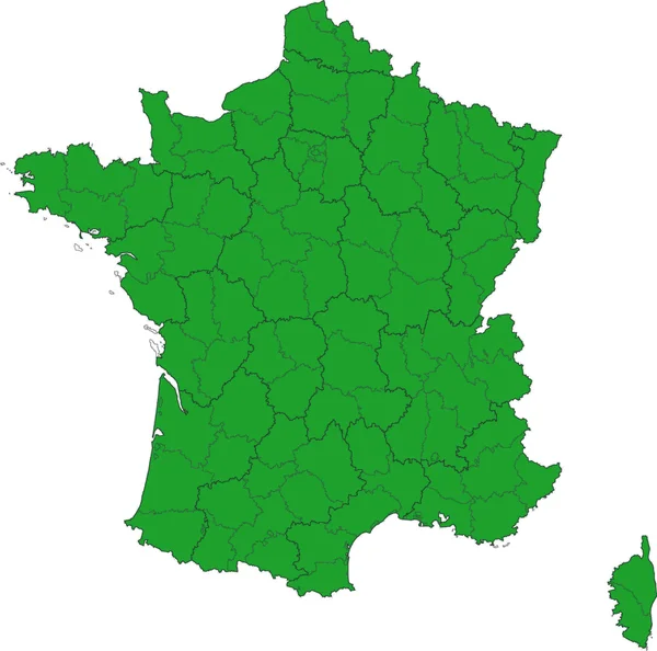
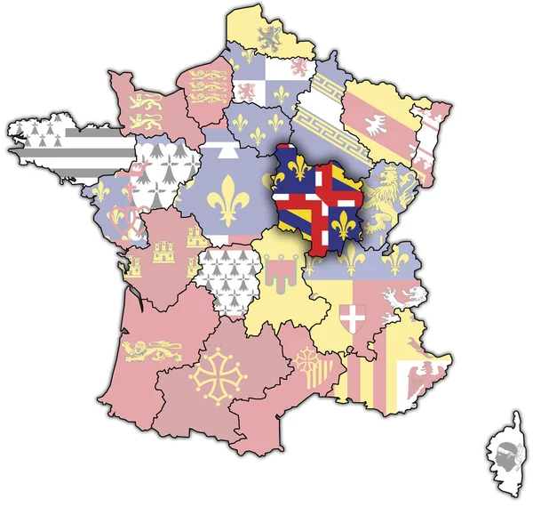
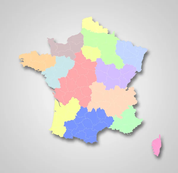
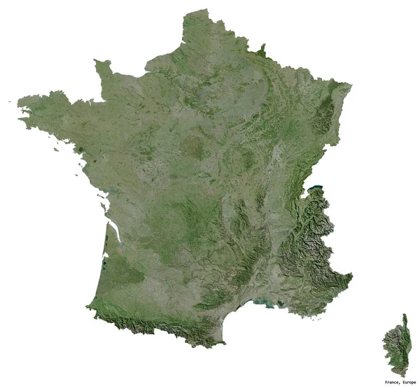
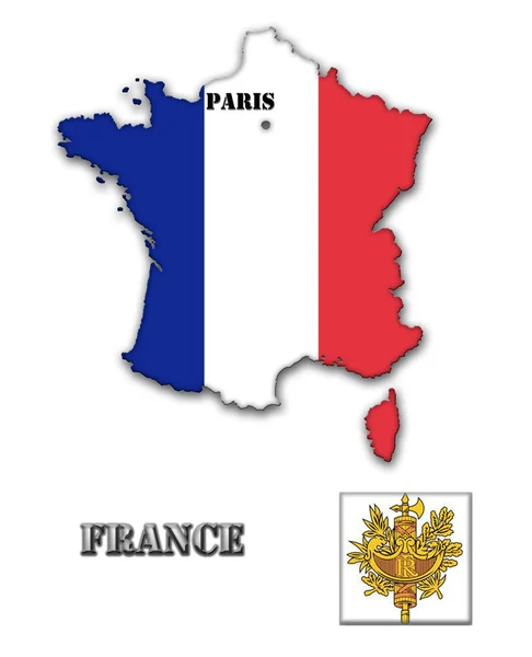
France map
France map — Stock Photo, Image
France map
France map — Stock Photo, Image
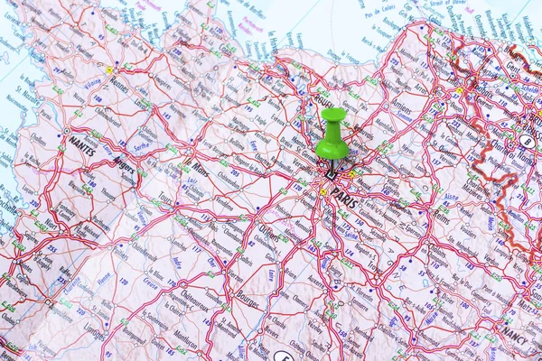
Green push pin pointing at Paris
Green push pin pointing at Paris — Stock Photo, Image
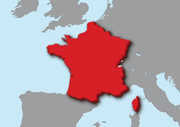
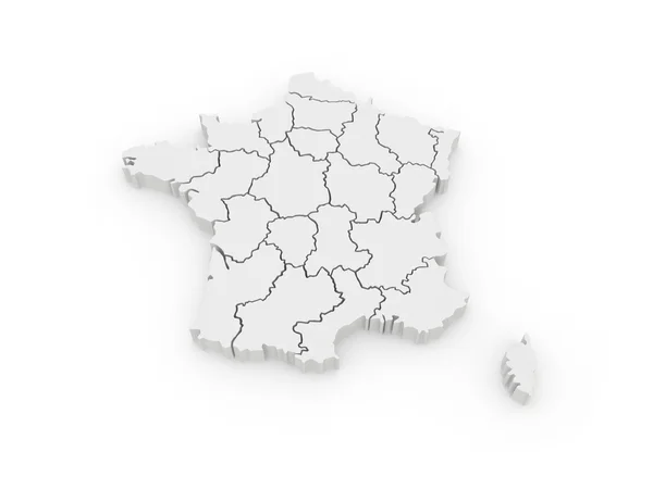
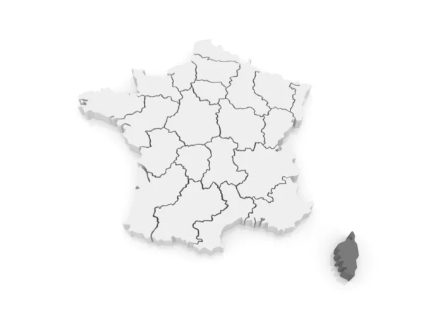
3d map of France
3d map of France — Stock Photo, Image
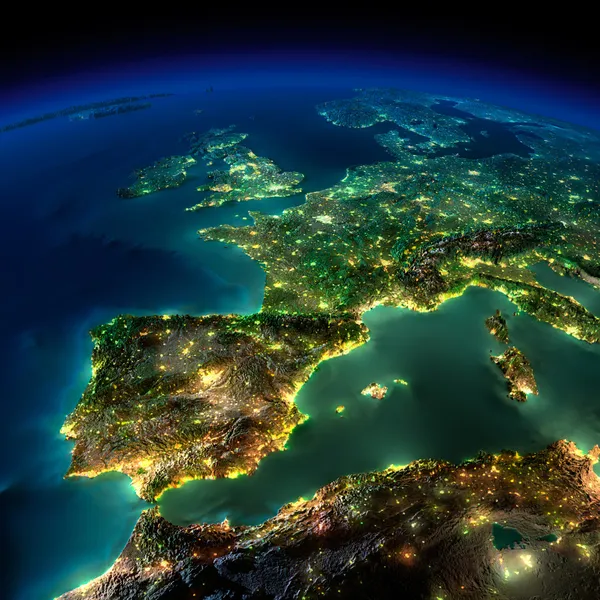
Night Earth. A piece of Europe - Spain, Portugal, France
Night Earth. A piece of Europe - Spain, Portugal, France — Stock Photo, Image
France map
France map — Stock Photo, Image
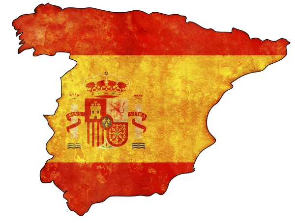
Spain flag on territory
Spain flag on territory — Stock Photo, Image
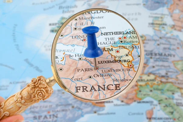
Paris map tack
Paris map tack — Stock Photo, Image
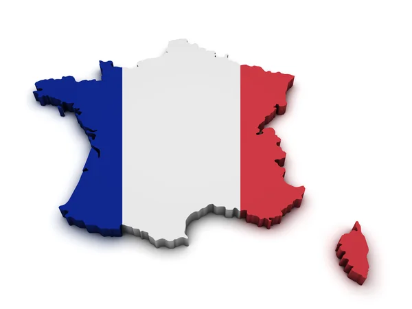
France Flag Map Shape
France Flag Map Shape — Stock Photo, Image
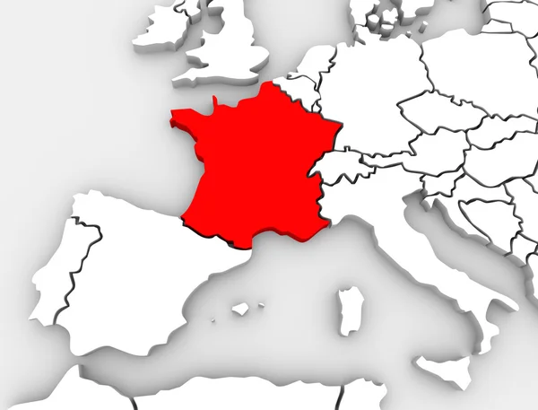
France Abstract 3D Map Europe Continent
France Abstract 3D Map Europe Continent — Stock Photo, Image
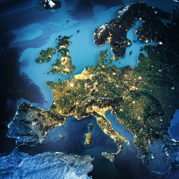
Europe space background
Europe space background — Stock Photo, Image
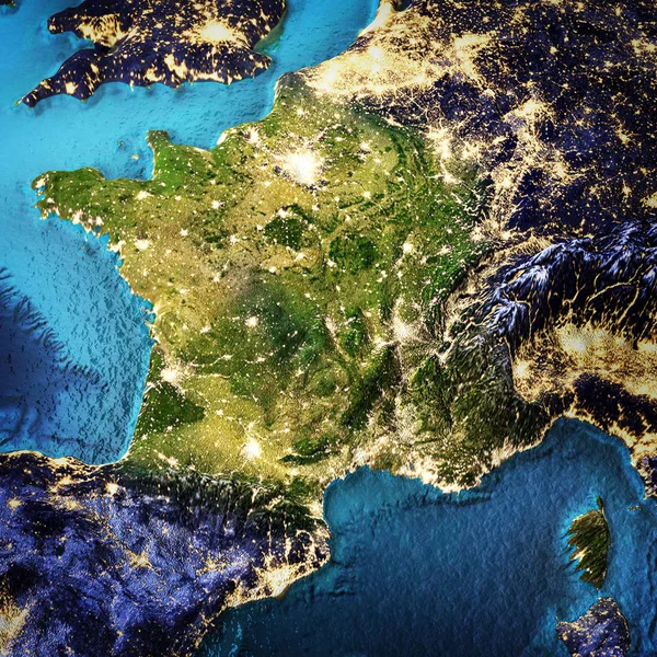
France space background
France space background — Stock Photo, Image
Three-dimensional map of France.
Three-dimensional map of France. — Stock Photo, Image
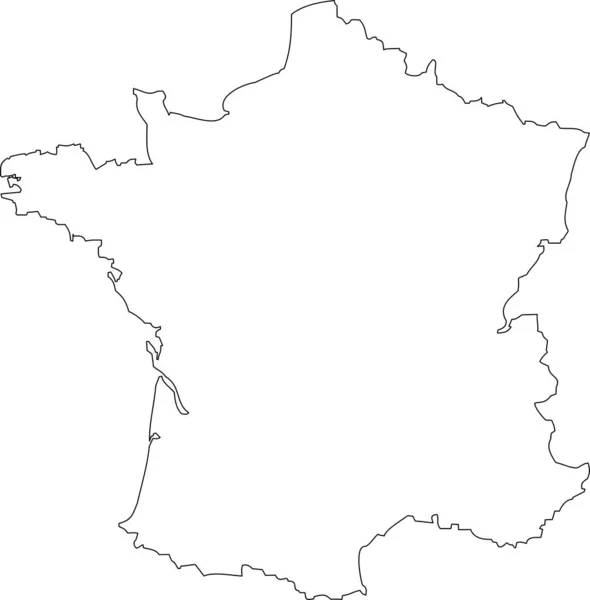
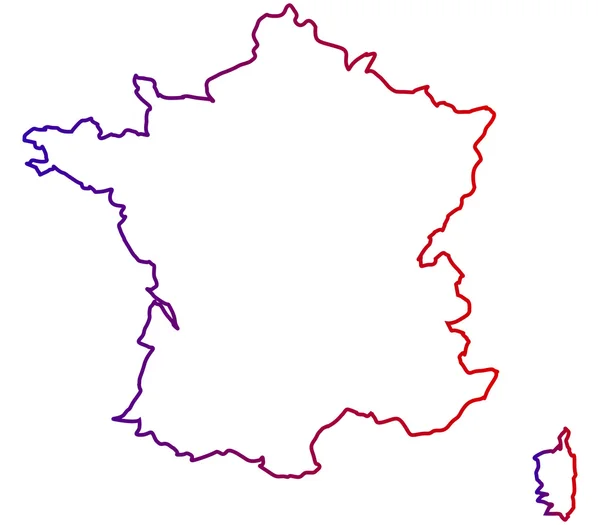
France outline map illustration
France Outline Map Illustration — Stock Photo, Image
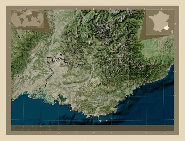
Provence-Alpes-Cote d'Azur, region of France. High resolution satellite map. Corner auxiliary location maps
Provence Alpes Cote Azur Region France High Resolution Satellite Map — Stock Photo, Image
Provence-Alpes-Cote d'Azur, region of France. High resolution satellite map. Locations of major cities of the region. Corner auxiliary location maps
Provence Alpes Cote Azur Region France High Resolution Satellite Map — Stock Photo, Image
Shape of Wakayama, prefecture of Japan, with its capital isolated on a solid color background. Composition of patterned textures. 3D rendering
Shape Wakayama Prefecture Japan Its Capital Isolated Solid Color Background — Stock Photo, Image
Map of France filled with white color
Map France Filled White Color — Stock Photo, Image
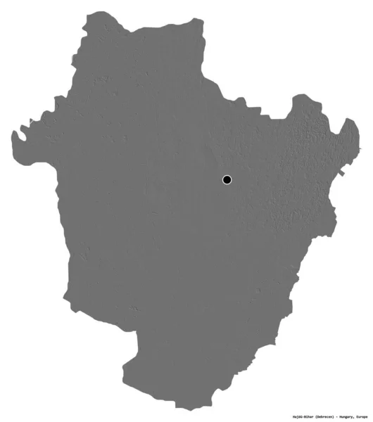
Shape of Hajdu-Bihar, county of Hungary, with its capital isolated on white background. Bilevel elevation map. 3D rendering
Shape Hajdu Bihar County Hungary Its Capital Isolated White Background — Stock Photo, Image
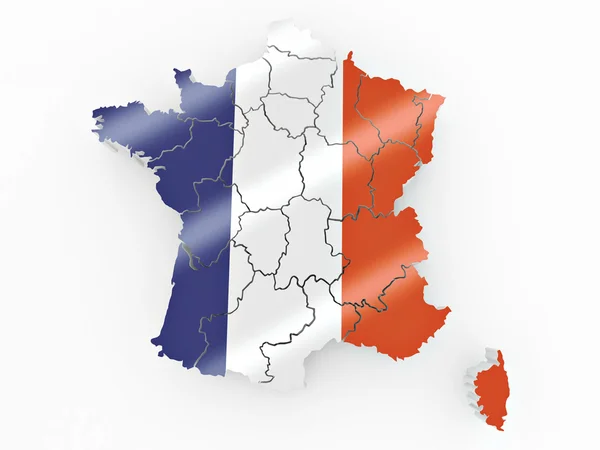
Metropolitan France Map on white background
Metropolitan France Map White Background — Stock Photo, Image
French Republic
French Republic — Stock Photo, Image
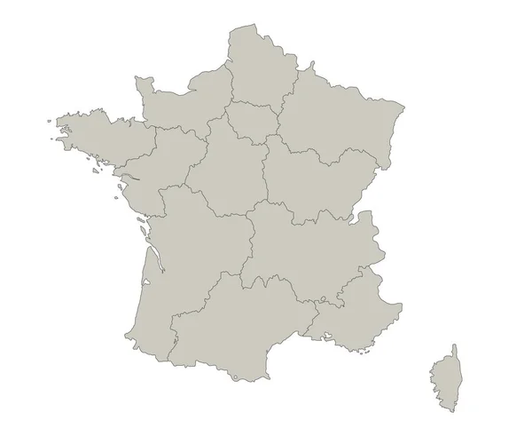
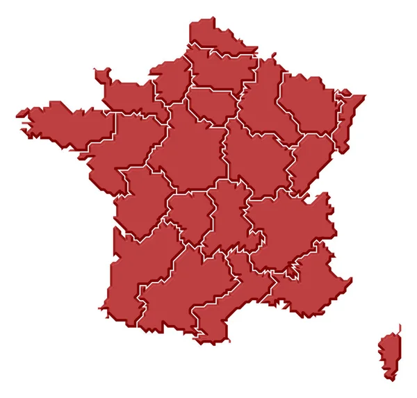
France map, individual regions, blank
France Map Individual Regions Blank — Stock Photo, Image
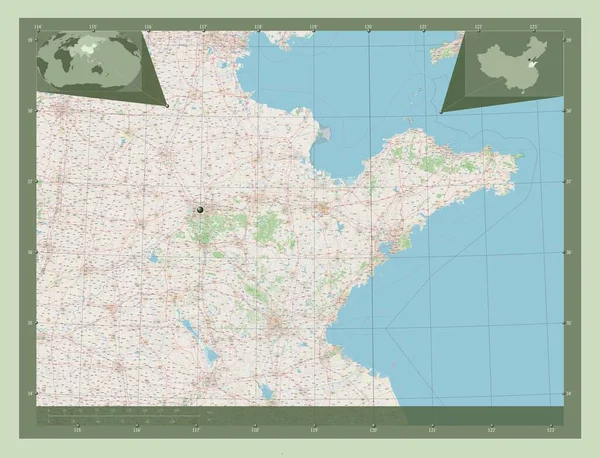
Shandong, province of China. Open Street Map. Corner auxiliary location maps
Shandong Province China Open Street Map Corner Auxiliary Location Maps — Stock Photo, Image
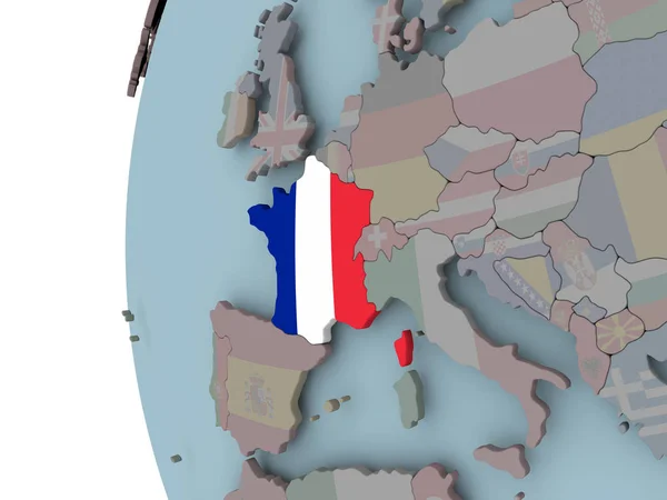
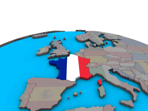
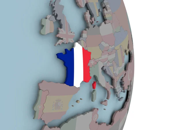
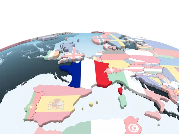
France with embedded flag on political globe. 3D illustration.
France Embedded Flag Political Globe Illustration — Stock Photo, Image
Map of new regions of France
Map of new regions of France — Stock Photo, Image
Outline, map of Armenia
Outline Map Armenia — Stock Photo, Image
Shape of Centre, department of Haiti, with its capital isolated on a solid color background. Composition of patterned textures. 3D rendering
Shape Centre Department Haiti Its Capital Isolated Solid Color Background — Stock Photo, Image
Shape of Alto Parana, department of Paraguay, with its capital isolated on white background. Composition of patterned textures. 3D rendering
Shape Alto Parana Department Paraguay Its Capital Isolated White Background — Stock Photo, Image
Shape of Bekes, county of Hungary, with its capital isolated on a solid color background. Bilevel elevation map. 3D rendering
Shape Bekes County Hungary Its Capital Isolated Solid Color Background — Stock Photo, Image
Political map of France with the several regions.
Political Map France Several Regions — Stock Photo, Image
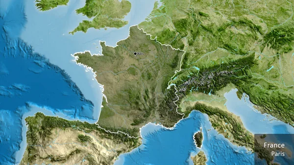
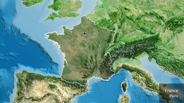
Close-up of the France border area highlighting with a dark overlay on a satellite map. Capital point. Outline around the country shape. English name of the country and its capital
Close France Border Area Highlighting Dark Overlay Satellite Map Capital — Stock Photo, Image
High detailed Outline of the country of France
High detailed Outline of the country of  France — Stock Photo, Image
France with embedded national flag on political 3D globe. 3D illustration.
France Embedded National Flag Political Globe Illustration — Stock Photo, Image
France on political globe with embedded flag. 3D illustration.
France Political Globe Embedded Flag Illustration — Stock Photo, Image
Shape of Bekes, county of Hungary, with its capital isolated on a solid color background. Colored elevation map. 3D rendering
Shape Bekes County Hungary Its Capital Isolated Solid Color Background — Stock Photo, Image
Map of Corsica. France.
Map of Corsica. France. — Stock Photo, Image
Map of France
Map of France — Stock Photo, Image
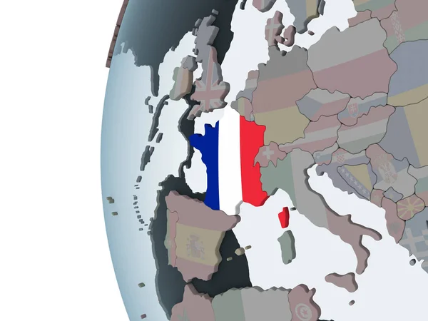
France on bright political globe with embedded flag. 3D illustration.
France Bright Political Globe Embedded Flag Illustration — Stock Photo, Image
Shape of Haryana, state of India, with its capital isolated on white background. Colored elevation map. 3D rendering
Shape Haryana State India Its Capital Isolated White Background Colored — Stock Photo, Image
Kardzhali, province of Bulgaria. Solid color shape. Locations and names of major cities of the region. Corner auxiliary location maps
Kardzhali Province Bulgaria Solid Color Shape Locations Names Major Cities — Stock Photo, Image
France on political globe with flag
France on political globe with flag — Stock Photo, Image
Silhouette of France with french flag on button
Silhouette of France with french flag on button — Stock Photo, Image
Shape of Laane-Viru, county of Estonia, with its capital isolated on white background. Colored elevation map. 3D rendering
Shape Laane Viru County Estonia Its Capital Isolated White Background — Stock Photo, Image
France on political globe
France on political globe — Stock Photo, Image
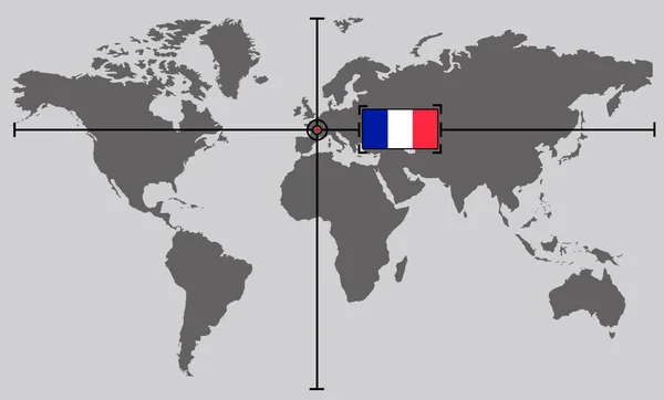
World map with coordinate point positioned by crossed lines on country France
World Map Coordinate Point Positioned Crossed Lines Country France — Stock Photo, Image
Hauts-de-France, region of France. High resolution satellite map. Corner auxiliary location maps
Hauts France Region France High Resolution Satellite Map Corner Auxiliary — Stock Photo, Image
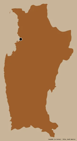
Shape of Coquimbo, region of Chile, with its capital isolated on a solid color background. Composition of patterned textures. 3D rendering
Shape Coquimbo Region Chile Its Capital Isolated Solid Color Background — Stock Photo, Image
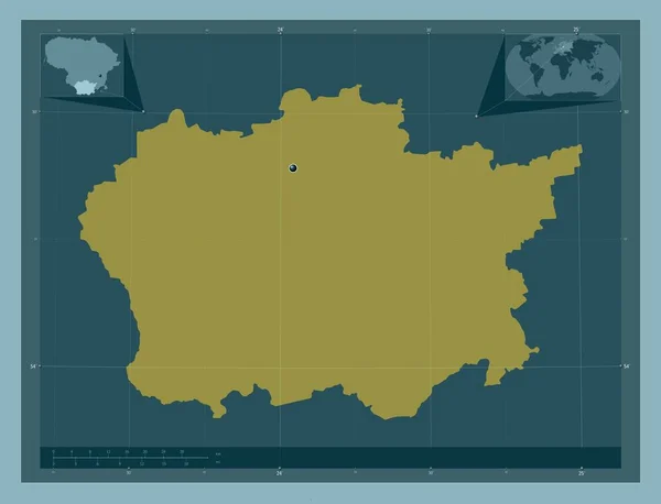
Alytaus, county of Lithuania. Solid color shape. Corner auxiliary location maps
Alytaus County Lithuania Solid Color Shape Corner Auxiliary Location Maps — Stock Photo, Image
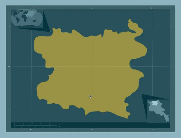
Lori, province of Armenia. Solid color shape. Corner auxiliary location maps
Lori Province Armenia Solid Color Shape Corner Auxiliary Location Maps — Stock Photo, Image
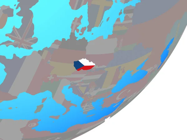
Czech republic with embedded national flag on blue political globe. 3D illustration.
Czech Republic Embedded National Flag Blue Political Globe Illustration — Stock Photo, Image
France with embedded national flag on political globe. 3D illustration.
France Embedded National Flag Political Globe Illustration — Stock Photo, Image
Close-up of the France border area highlighting with a dark overlay on a satellite map. Capital point. Outline around the country shape. English name of the country and its capital
Close France Border Area Highlighting Dark Overlay Satellite Map Capital — Stock Photo, Image
France 3d relief physical hypsometric map in color illustration
France Relief Physical Hypsometric Map Color Illustration — Stock Photo, Image
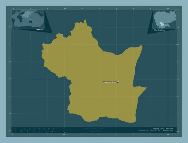
Kampong Speu, province of Cambodia. Solid color shape. Locations and names of major cities of the region. Corner auxiliary location maps
Kampong Speu Province Cambodia Solid Color Shape Locations Names Major — Stock Photo, Image
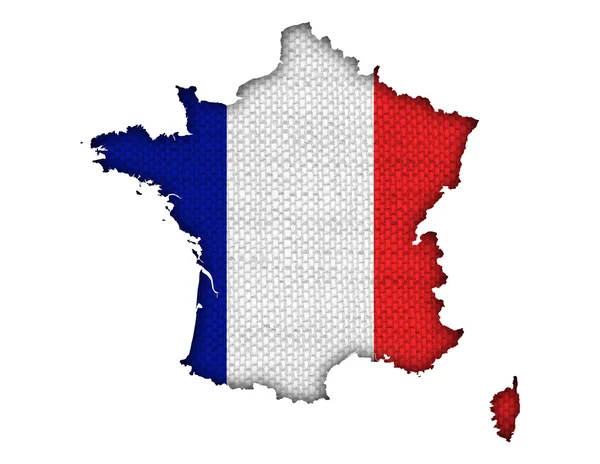
Map and flag of France on old linen
Map and flag of France on old linen — Stock Photo, Image
France
France — Stock Photo, Image
France outline map on white background
France Outline Map White Background — Stock Photo, Image
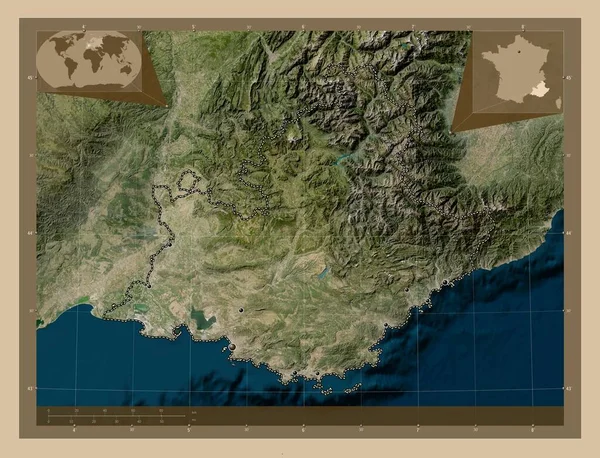
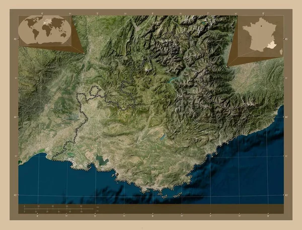
Provence-Alpes-Cote d'Azur, region of France. Low resolution satellite map. Locations of major cities of the region. Corner auxiliary location maps
Provence Alpes Cote Azur Region France Low Resolution Satellite Map — Stock Photo, Image
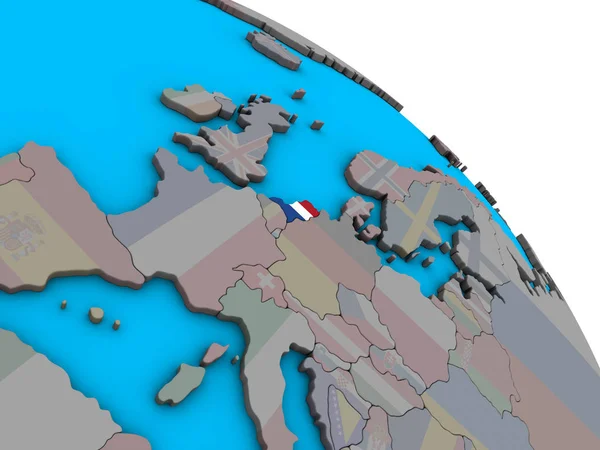
Netherlands with embedded national flag on simple blue political 3D globe. 3D illustration.
Netherlands Embedded National Flag Simple Blue Political Globe Illustration — Stock Photo, Image
France map illustrated on a white background
France map illustrated on a white background — Stock Photo, Image
Map France. Isolated Illustration. Black on White background.
Map France Isolated Illustration Black White Background — Stock Photo, Image
France map
France map — Stock Photo, Image
Burgundy
Burgundy — Stock Photo, Image
Centro Sur, province of Equatorial Guinea. Solid color shape. Locations of major cities of the region. Corner auxiliary location maps
Centro Sur Province Equatorial Guinea Solid Color Shape Locations Major — Stock Photo, Image
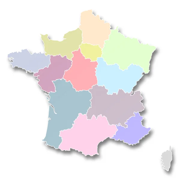
New regions of France
New regions of France — Stock Photo, Image
Map France. Isolated Illustration. Black on White background.
Map France Isolated Illustration Black White Background — Stock Photo, Image
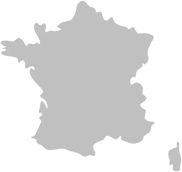
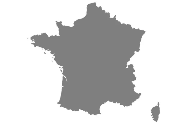
Grey map of France on isolated on white background
Grey Map France Isolated White Background — Stock Photo, Image
Hauts-de-France, region of France. Colored elevation map with lakes and rivers. Locations of major cities of the region. Corner auxiliary location maps
Hauts France Region France Colored Elevation Map Lakes Rivers Locations — Stock Photo, Image
Provence-Alpes-Cote d'Azur, region of France. Low resolution satellite map. Corner auxiliary location maps
Provence Alpes Cote Azur Region France Low Resolution Satellite Map — Stock Photo, Image
Map and flag of France
Map and flag of France — Stock Photo, Image
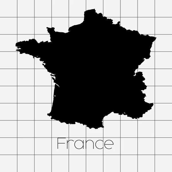
Squared Background with the country shape of France
Squared Background with the country shape of France — Stock Photo, Image
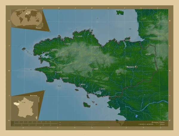
Bretagne, region of France. Colored elevation map with lakes and rivers. Locations and names of major cities of the region. Corner auxiliary location maps
Bretagne Region France Colored Elevation Map Lakes Rivers Locations Names — Stock Photo, Image
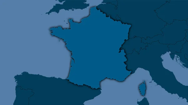
France area on the solid map in the stereographic projection - raw composition of raster layers with dark glowing outline
France Area Solid Map Stereographic Projection Raw Composition Raster Layers — Stock Photo, Image
France Country Nation Map
France Country Nation Map — Stock Photo, Image
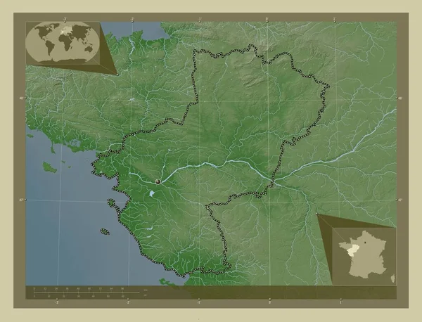
Pays de la Loire, region of France. Elevation map colored in wiki style with lakes and rivers. Corner auxiliary location maps
Pays Loire Region France Elevation Map Colored Wiki Style Lakes — Stock Photo, Image
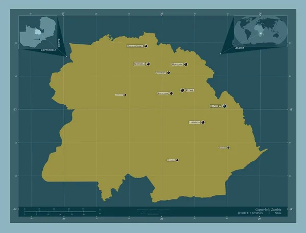
Copperbelt, province of Zambia. Solid color shape. Locations and names of major cities of the region. Corner auxiliary location maps
Copperbelt Province Zambia Solid Color Shape Locations Names Major Cities — Stock Photo, Image
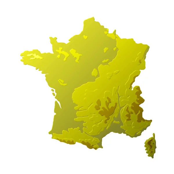
France 3d relief physical hypsometric map in yellow color illustration
France Relief Physical Hypsometric Map Yellow Color Illustration — Stock Photo, Image
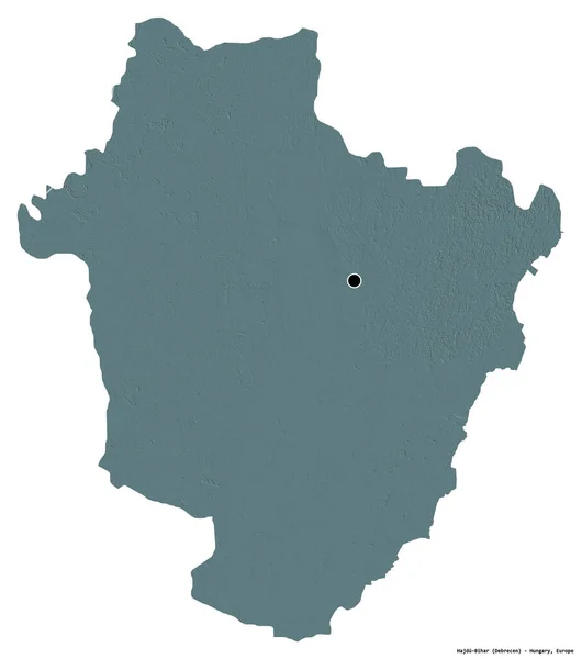
Shape of Hajdu-Bihar, county of Hungary, with its capital isolated on white background. Colored elevation map. 3D rendering
Shape Hajdu Bihar County Hungary Its Capital Isolated White Background — Stock Photo, Image
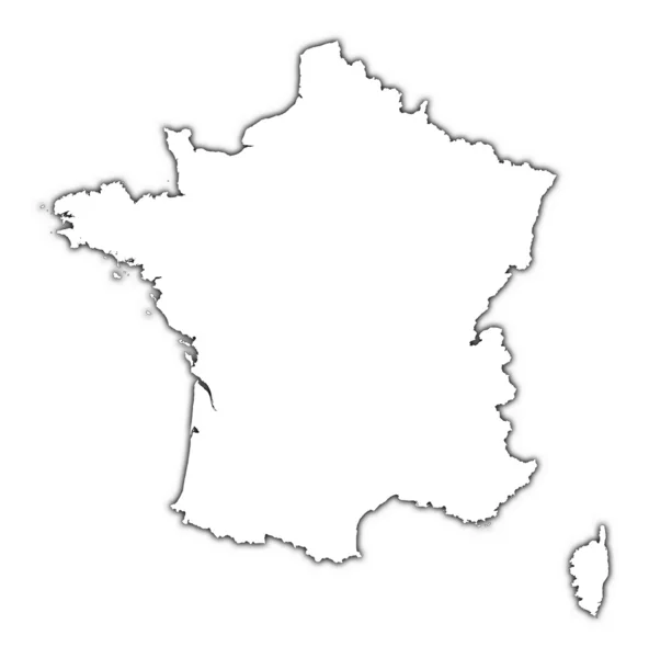
France outline map with shadow
France outline map with shadow — Stock Photo, Image
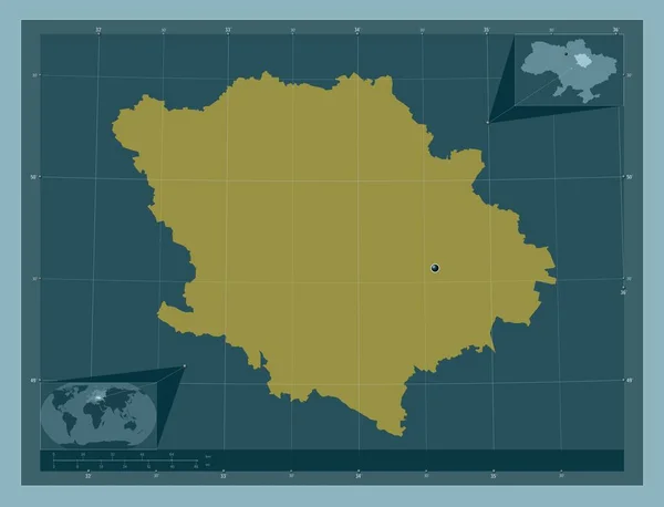
Poltava, region of Ukraine. Solid color shape. Corner auxiliary location maps
Poltava Region Ukraine Solid Color Shape Corner Auxiliary Location Maps — Stock Photo, Image
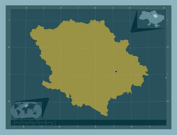
Poltava, region of Ukraine. Solid color shape. Corner auxiliary location maps
Poltava Region Ukraine Solid Color Shape Corner Auxiliary Location Maps — Stock Photo, Image
Bretagne, region of France. Low resolution satellite map. Locations and names of major cities of the region. Corner auxiliary location maps
Bretagne Region France Low Resolution Satellite Map Locations Names Major — Stock Photo, Image
Shape of France with its capital isolated on white background. Satellite imagery. 3D rendering
Shape France Its Capital Isolated White Background Satellite Imagery Rendering — Stock Photo, Image
Dark silhouetted map of Columbia
Dark silhouetted map of Columbia — Stock Photo, Image
France map on a white background
France map on a white background — Stock Photo, Image
Outline map of France with transparent Austrian flag
Outline map of France with transparent Austrian flag — Stock Photo, Image
Map of france on white background
Map of france on white background — Stock Photo, Image
The map and the arms of France
The map and the arms of France — Stock Photo, Image
Nouvelle-Aquitaine, region of France. Low resolution satellite map. Corner auxiliary location maps
Nouvelle Aquitaine Region France Low Resolution Satellite Map Corner Auxiliary — Stock Photo, Image
Squared Background with the country shape of France
Squared Background with the country shape of France — Stock Photo, Image
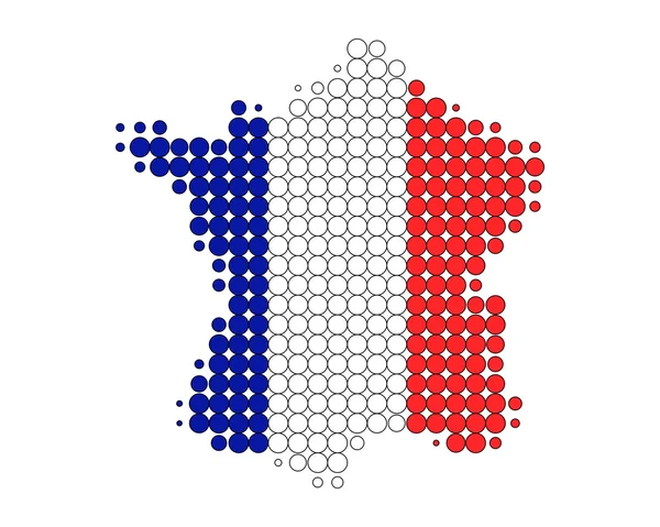
Map of France in French flag colors
Map of France in French flag colors — Stock Photo, Image
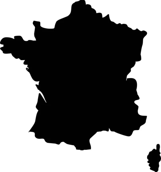
Vector map France. Isolated vector Illustration. Black on White background. EPS 10 Illustration.
Vector Map France Isolated Vector Illustration Black White Background Eps — Stock Photo, Image
Three-dimensional map of France.
Three-dimensional map of France. — Stock Photo, Image
East Kazakhstan, region of Kazakhstan. Solid color shape. Corner auxiliary location maps
East Kazakhstan Region Kazakhstan Solid Color Shape Corner Auxiliary Location — Stock Photo, Image
Shape of Nord, department of Haiti, with its capital isolated on a solid color background. Composition of patterned textures. 3D rendering
Shape Nord Department Haiti Its Capital Isolated Solid Color Background — Stock Photo, Image
Hamadan, province of Iran. Solid color shape. Corner auxiliary location maps
Hamadan Province Iran Solid Color Shape Corner Auxiliary Location Maps — Stock Photo, Image

Related image searches

Discover the Best France Map Images for Your Next Project

When it comes to showcasing the beauty and diversity of France, what better way to do it than with a stunning map image? Here, we offer a range of high-quality, royalty-free France map images in various styles and formats. Whether you need a classic, vintage-style map or a modern, minimalist design, we have something to suit your needs.

The Best Types of France Map Images to Use

There are two main types of map images that you can use for your project: vector and raster. Vector images are scalable and retain their quality no matter how much you resize them, making them ideal for logos, banners, and other graphics. Raster images, on the other hand, are made up of pixels and can lose quality if they are enlarged too much. They are best for digital content such as web pages and social media posts.

For more professional and precise work, Adobe Illustrator (.AI) and Encapsulated PostScript (.EPS) files are recommended. These file formats preserve the quality so that your map is crisp and clear no matter how you enlarge it.

Where to Use France Map Images

The possibilities for using France map images are endless. You can use them for educational purposes, in travel guides or brochures, for decorating your office or living space, or even as part of a data visualization. They are also great for website or social media posts as they provide a visual element to your content and can make your posts stand out in a crowded feed.

How to Use France Map Images Effectively

When using France map images, it's important to think about your audience and the message you want to convey. Consider the style and tone of your project and choose a map image that complements it. For example, if you're creating a vintage travel poster, an old-style map might work better than a modern one.

It's also important to consider the placement of your map image. Think about where it will appear in your project and how it will interact with the other elements on the page. Make sure it's not too small or too large compared to other images or text.

Finally, consider the color scheme of your project and choose a map image that fits with it. A vibrant and colorful map may work well for a children's book or poster, while a more muted or monochromatic map might be better suited for a more serious or professional project.

Find Your Perfect France Map Images Today

With our extensive collection of royalty-free France map images, you're sure to find the perfect visual to enhance your project. From classic to modern, vector to raster, we offer a variety of styles and formats to suit your needs. Start browsing today and find your perfect France map image!