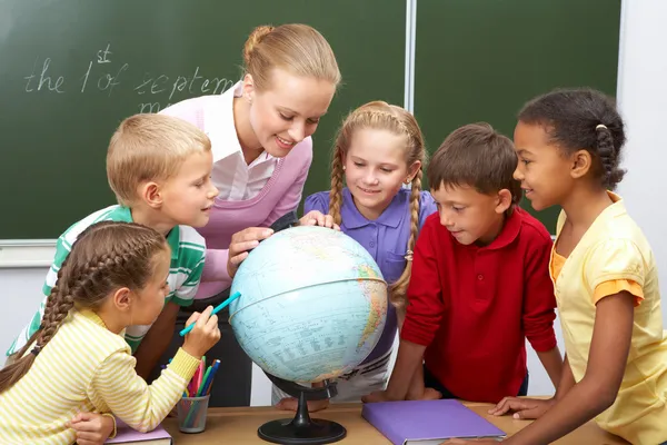
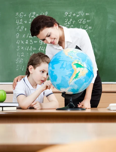
Elementary geography teacher and students
Elementary geography teacher and students — Stock Photo, Image
Geography lesson
Geography lesson — Stock Photo, Image
Pupils having lesson at school
Pupils having lesson at school — Stock Photo, Image
Teacher explaining about Earth globe
Teacher explaining about Earth globe — Stock Photo, Image
High school students and teacher giving okay sign
High school students and teacher giving okay sign — Stock Photo, Image
Geography lesson
Geography lesson — Stock Photo, Image
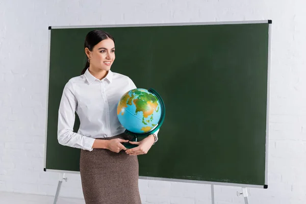
Cheerful teacher holding globe near chalkboard
Cheerful Teacher Holding Globe Chalkboard — Stock Photo, Image
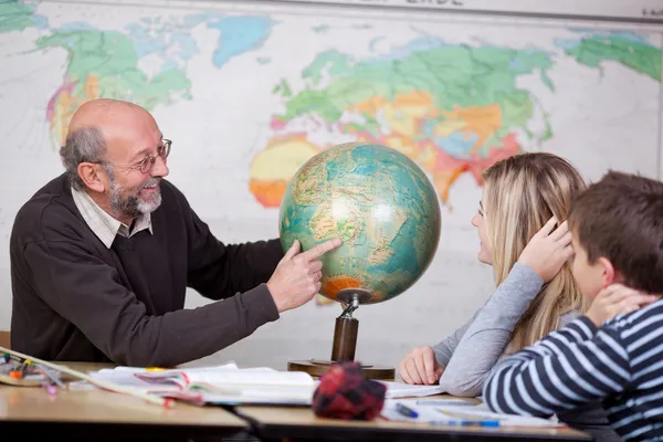
Teacher Pointing At Globe While Students Looking At It
Teacher Pointing At Globe While Students Looking At It — Stock Photo, Image
Pretty Caucasian schoolgirl learing Geography on globe with her Beautiful mother helping.
Pretty Caucasian Schoolgirl Learing Geography Globe Her Beautiful Mother Helping — Stock Photo, Image
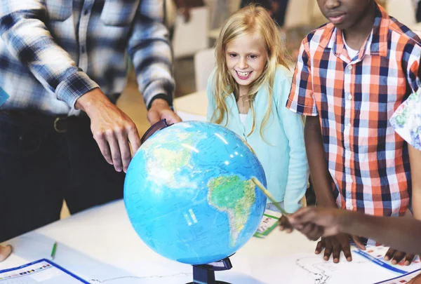
Teacher and pupils touching globe with smile while studying geography in classroom
Teacher Pupils Touching Globe Smile While Studying Geography Classroom — Stock Photo, Image
Pupils listening to teacher holding globe
Pupils listening to teacher holding globe — Stock Photo, Image
Handsome bearded teacher looking at camera and holding globe with pen isolated on white
Handsome Bearded Teacher Looking Camera Holding Globe Pen Isolated White — Stock Photo, Image
Teacher with globe and notepad at school
Teacher with globe and notepad at school — Stock Photo, Image
Studying geography with terrestrial globe
Studying geography with terrestrial globe — Stock Photo, Image
Geography Lesson
Geography Lesson — Stock Photo, Image
Teacher with globe and notepad at school
Teacher with globe and notepad at school — Stock Photo, Image
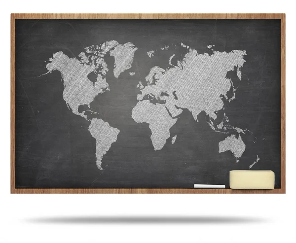
World map on black blackboard
World map on black blackboard — Stock Photo, Image
African American Female Office Illustration Silh
African American Female Office Illustration Silh — Stock Photo, Image
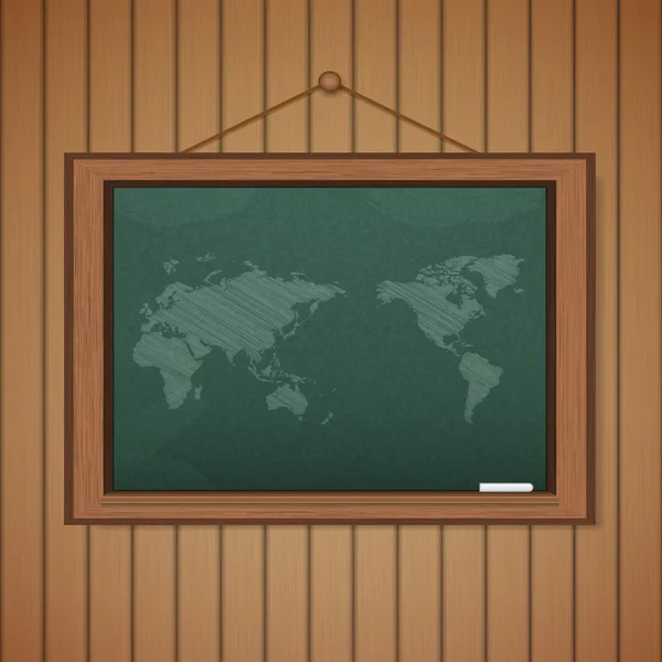
Realistic blackboard on wooden background drawing a Map
Realistic blackboard on wooden background drawing a Map — Stock Photo, Image
France outline map illustration
France Outline Map Illustration — Stock Photo, Image
Shape of Dolneni, municipality of Macedonia, with its capital isolated on a solid color background. Composition of patterned textures. 3D rendering
Shape Dolneni Municipality Macedonia Its Capital Isolated Solid Color Background — Stock Photo, Image
Cute man cartoon on gray background
Cute Man Cartoon Gray Background — Stock Photo, Image
World map on black blackboard
World map on black blackboard — Stock Photo, Image
Shape of Lilongwe, district of Malawi, with its capital isolated on a solid color background. Composition of patterned textures. 3D rendering
Shape Lilongwe District Malawi Its Capital Isolated Solid Color Background — Stock Photo, Image
Shape of Grad Sofiya, province of Bulgaria, with its capital isolated on white background. Composition of patterned textures. 3D rendering
Shape Grad Sofiya Province Bulgaria Its Capital Isolated White Background — Stock Photo, Image
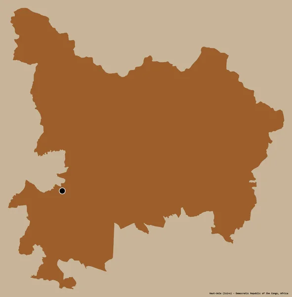
Shape of Haut-Uele, province of Democratic Republic of the Congo, with its capital isolated on a solid color background. Composition of patterned textures. 3D rendering
Shape Haut Uele Province Democratic Republic Congo Its Capital Isolated — Stock Photo, Image
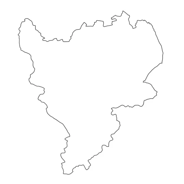
High Quality map of East Midlands England is a region of England, with outline borders
High Quality Map East Midlands England Region England Outline Borders — Stock Photo, Image
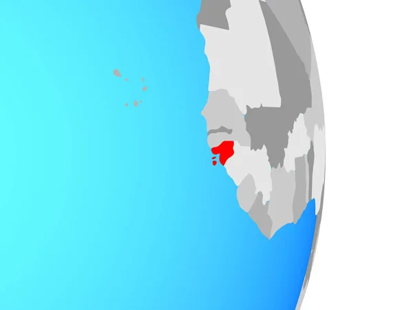
Guinea-Bissau on simple political globe. 3D illustration.
Guinea Bissau Simple Political Globe Illustration — Stock Photo, Image
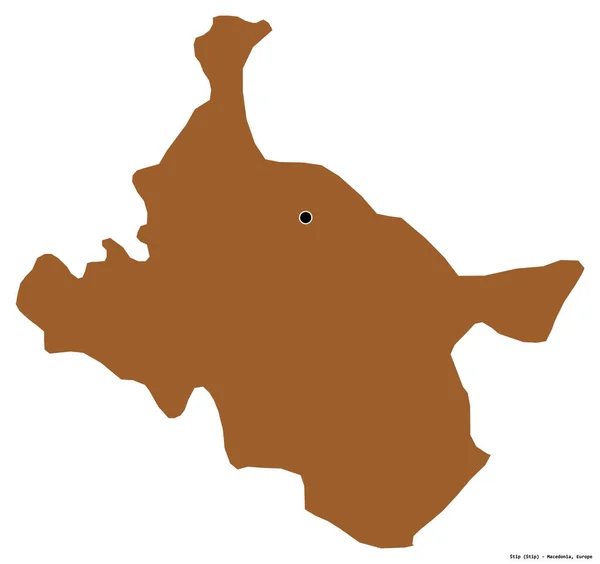
Shape of Stip, municipality of Macedonia, with its capital isolated on white background. Composition of patterned textures. 3D rendering
Shape Stip Municipality Macedonia Its Capital Isolated White Background Composition — Stock Photo, Image
A picture of earth silhouette in the middle of image on a orange background
Picture Earth Silhouette Middle Image Orange Background — Stock Photo, Image
France outline map on white background
France Outline Map White Background — Stock Photo, Image
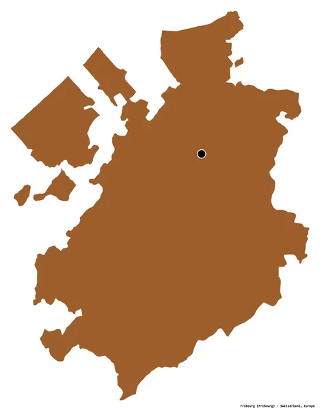
Shape of Fribourg, canton of Switzerland, with its capital isolated on white background. Composition of patterned textures. 3D rendering
Shape Fribourg Canton Switzerland Its Capital Isolated White Background Composition — Stock Photo, Image
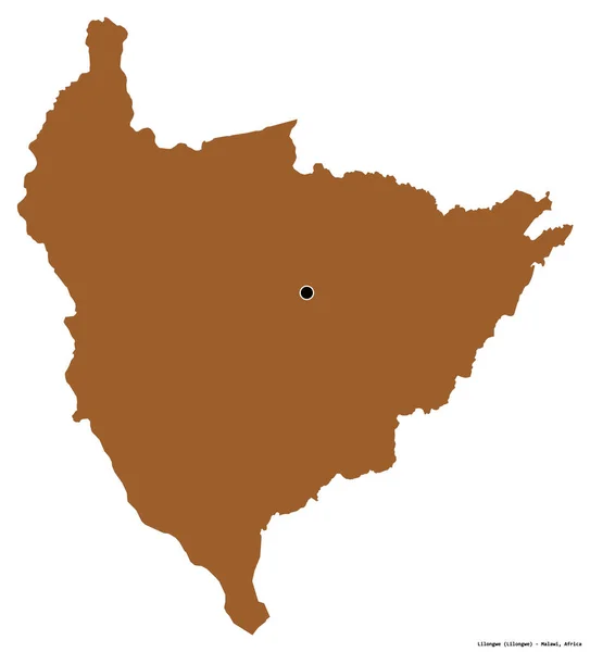
Shape of Lilongwe, district of Malawi, with its capital isolated on white background. Composition of patterned textures. 3D rendering
Shape Lilongwe District Malawi Its Capital Isolated White Background Composition — Stock Photo, Image
Ethiopia on globe. 3D illustration.
Ethiopia Globe Illustration — Stock Photo, Image
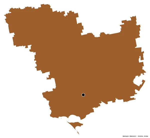
Shape of Mykolayiv, region of Ukraine, with its capital isolated on white background. Composition of patterned textures. 3D rendering
Shape Mykolayiv Region Ukraine Its Capital Isolated White Background Composition — Stock Photo, Image
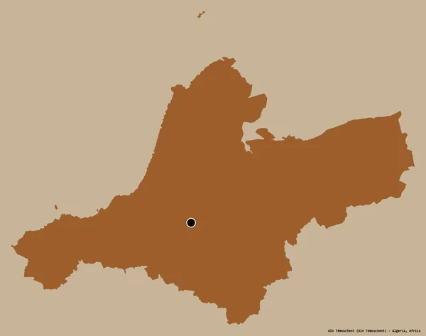
Shape of Ain Temouchent, province of Algeria, with its capital isolated on a solid color background. Composition of patterned textures. 3D rendering
Shape Ain Temouchent Province Algeria Its Capital Isolated Solid Color — Stock Photo, Image
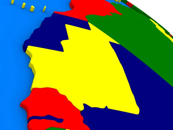
Mauritania on colorful 3D globe
Mauritania on colorful 3D globe — Stock Photo, Image
Man Earth concept. 3D rendering
Man Earth Concept Rendering — Stock Photo, Image
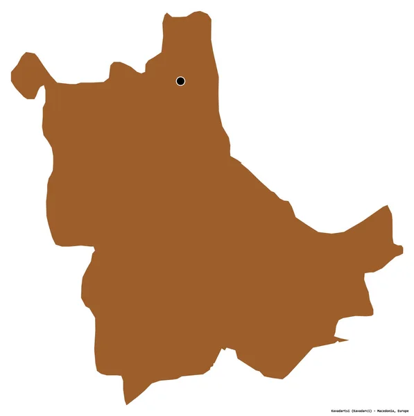
Shape of Kavadartsi, municipality of Macedonia, with its capital isolated on white background. Composition of patterned textures. 3D rendering
Shape Kavadartsi Municipality Macedonia Its Capital Isolated White Background Composition — Stock Photo, Image
Blackboard with a chalk and the map of the world drawn onto. (se
Blackboard with a chalk and the map of the world drawn onto. (se — Stock Photo, Image
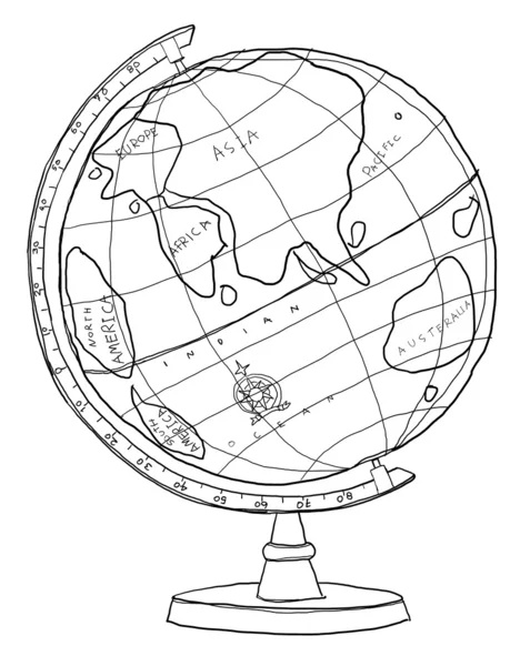
Globe (side view)
Globe (side view) — Stock Photo, Image
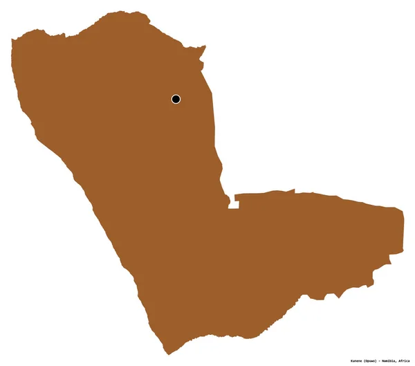
Shape of Kunene, region of Namibia, with its capital isolated on white background. Composition of patterned textures. 3D rendering
Shape Kunene Region Namibia Its Capital Isolated White Background Composition — Stock Photo, Image
Shape of Raymah, governorate of Yemen, with its capital isolated on a solid color background. Composition of patterned textures. 3D rendering
Shape Raymah Governorate Yemen Its Capital Isolated Solid Color Background — Stock Photo, Image
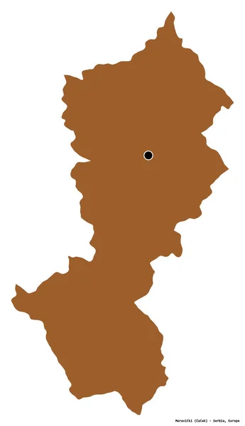
Shape of Moravicki, district of Serbia, with its capital isolated on white background. Composition of patterned textures. 3D rendering
Shape Moravicki District Serbia Its Capital Isolated White Background Composition — Stock Photo, Image
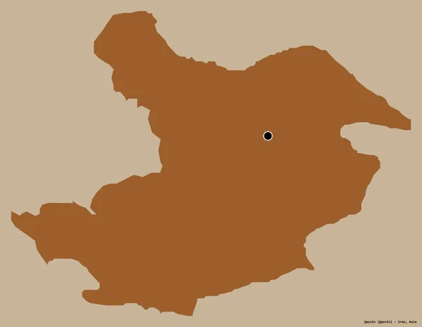
Shape of Qazvin, province of Iran, with its capital isolated on a solid color background. Composition of patterned textures. 3D rendering
Shape Qazvin Province Iran Its Capital Isolated Solid Color Background — Stock Photo, Image
Man office worker illustration cartoon contour line
Man Office Worker Illustration Cartoon Contour Line — Stock Photo, Image
Blackboard with drawing world map
Blackboard with drawing world map — Stock Photo, Image
Globe on white background. Watercolor school world map in wooden frame. Hand painted illustration of globe.
Globe White Background Watercolor School World Map Wooden Frame Hand — Stock Photo, Image
China - Hand-Drawn Map lllustration
China Hand Drawn Map Lllustration — Stock Photo, Image
Shape of Grad Beograd, city of Serbia, with its capital isolated on white background. Composition of patterned textures. 3D rendering
Shape Grad Beograd City Serbia Its Capital Isolated White Background — Stock Photo, Image
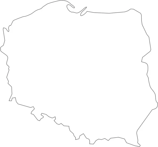
Map of Poland filled with white color
Map Poland Filled White Color — Stock Photo, Image
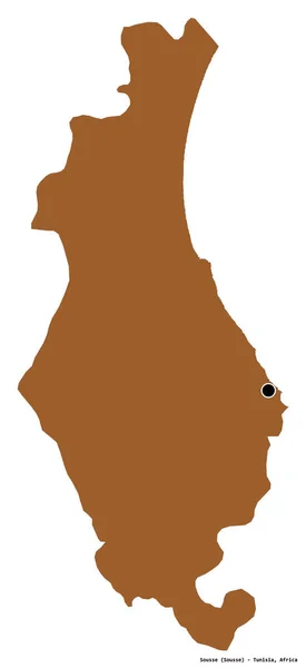
Shape of Sousse, governorate of Tunisia, with its capital isolated on white background. Composition of patterned textures. 3D rendering
Shape Sousse Governorate Tunisia Its Capital Isolated White Background Composition — Stock Photo, Image
World map on desk
World map on desk — Stock Photo, Image
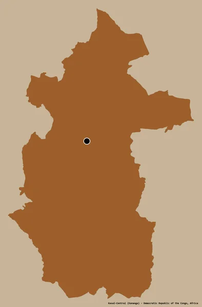
Shape of Kasai-Central, province of Democratic Republic of the Congo, with its capital isolated on a solid color background. Composition of patterned textures. 3D rendering
Shape Kasai Central Province Democratic Republic Congo Its Capital Isolated — Stock Photo, Image
Portrait of man with Santa hat
Portrait of man with Santa hat — Stock Photo, Image
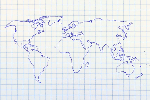
World map design: go global
World map design: go global — Stock Photo, Image
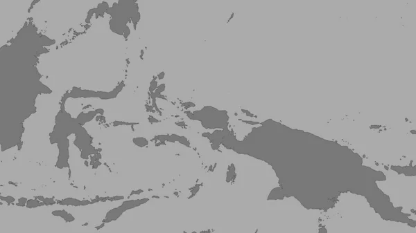
Lands and oceans within areas adjacent to the Birds Head tectonic plate. Van der Grinten I projection (oblique transformation)
Lands Oceans Areas Adjacent Birds Head Tectonic Plate Van Der — Stock Photo, Image
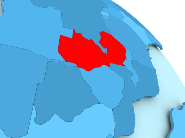
Zambia on blue globe
Zambia on blue globe — Stock Photo, Image
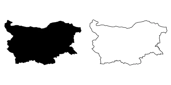
Map of the country of Bulgaria
Map of the country of Bulgaria — Stock Photo, Image
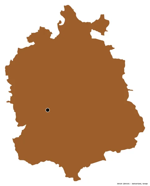
Shape of Zurich, canton of Switzerland, with its capital isolated on white background. Composition of patterned textures. 3D rendering
Shape Zurich Canton Switzerland Its Capital Isolated White Background Composition — Stock Photo, Image
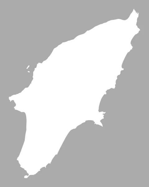
Map of Rhodes, geographical map illustration
Map Rhodes Geographical Map Illustration — Stock Photo, Image
Central, region of Ghana. Solid color shape. Corner auxiliary location maps
Central Region Ghana Solid Color Shape Corner Auxiliary Location Maps — Stock Photo, Image
Shape of Tillabery, department of Niger, with its capital isolated on white background. Composition of patterned textures. 3D rendering
Shape Tillabery Department Niger Its Capital Isolated White Background Composition — Stock Photo, Image
French Republic
French Republic — Stock Photo, Image
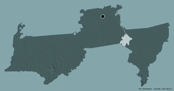
Shape of Para, district of Suriname, with its capital isolated on a solid color background. Colored elevation map. 3D rendering
Shape Para District Suriname Its Capital Isolated Solid Color Background — Stock Photo, Image
Shape of Batdambang, province of Cambodia, with its capital isolated on a solid color background. Composition of patterned textures. 3D rendering
Shape Batdambang Province Cambodia Its Capital Isolated Solid Color Background — Stock Photo, Image
Ghana area on the administrative divisions map in the stereographic projection - raw composition of raster layers with dark glowing outline
Ghana Area Administrative Divisions Map Stereographic Projection Raw Composition Raster — Stock Photo, Image
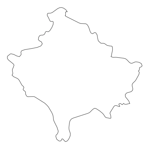
High detailed Outline of the country of Kosovo
High detailed Outline of the country of  Kosovo — Stock Photo, Image
Polygonal Wire Frame Mesh High Detail Raster Map of Germany Abstractions
Polygonal Wire Frame Mesh High Detail Raster Map of Germany Abstractions — Stock Photo, Image
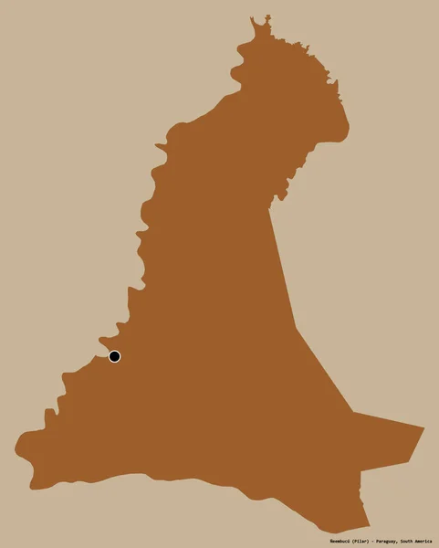
Shape of Neembucu, department of Paraguay, with its capital isolated on a solid color background. Composition of patterned textures. 3D rendering
Shape Neembucu Department Paraguay Its Capital Isolated Solid Color Background — Stock Photo, Image
Learning concept: Geography on fabric texture background
Learning concept: Geography on fabric texture background — Stock Photo, Image
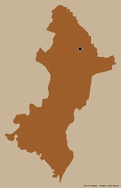
Shape of Central, department of Paraguay, with its capital isolated on a solid color background. Composition of patterned textures. 3D rendering
Shape Central Department Paraguay Its Capital Isolated Solid Color Background — Stock Photo, Image
World Map on blue graph paper
World Map Blue Graph Paper — Stock Photo, Image
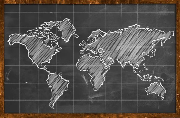
World map chalk drawing blackboard
World map chalk drawing blackboard — Stock Photo, Image
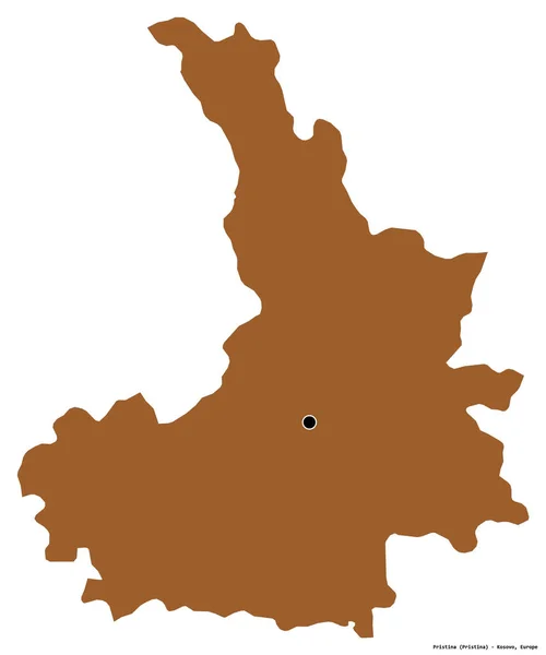
Shape of Pristina, district of Kosovo, with its capital isolated on white background. Composition of patterned textures. 3D rendering
Shape Pristina District Kosovo Its Capital Isolated White Background Composition — Stock Photo, Image
Hand drawing world map
Hand drawing world map — Stock Photo, Image
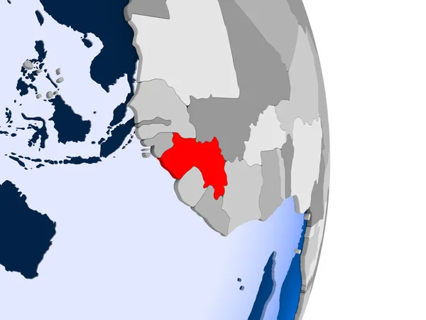
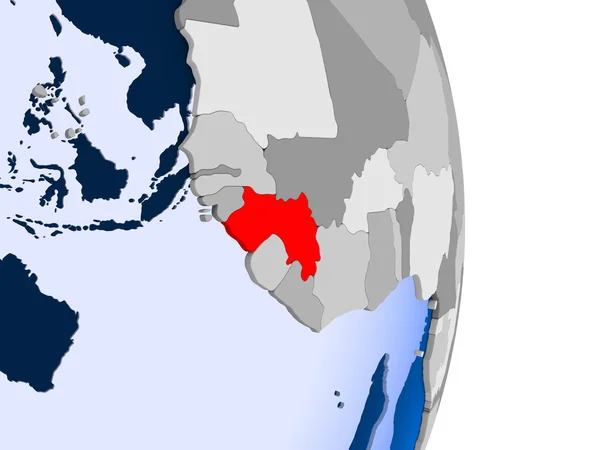
Guinea in red on model of political globe with transparent oceans. 3D illustration.
Guinea Red Model Political Globe Transparent Oceans Illustration — Stock Photo, Image
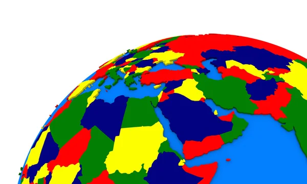
Middle east region on Earth political map
Middle east region on Earth political map — Stock Photo, Image
Shape of Tak, province of Thailand, with its capital isolated on white background. Composition of patterned textures. 3D rendering
Shape Tak Province Thailand Its Capital Isolated White Background Composition — Stock Photo, Image
Map of Guyana in red on grey political globe with transparent oceans. 3D illustration.
Map Guyana Red Grey Political Globe Transparent Oceans Illustration — Stock Photo, Image
Yellow Earth on a white background. Rotate animation. 3D render.
Yellow Earth White Background Rotate Animation Render — Stock Photo, Image
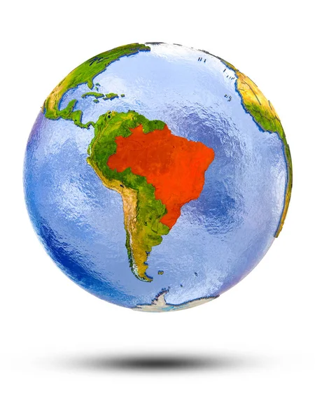
Brazil on globe with shadow isolated on white background. 3D illustration.
Brazil Globe Shadow Isolated White Background Illustration — Stock Photo, Image
Science concept: Geography on chalkboard background
Science concept: Geography on chalkboard background — Stock Photo, Image
Mauritania on globe
Mauritania on globe — Stock Photo, Image
Geography blackboard
Geography blackboard — Stock Photo, Image
Pointing at map
Pointing at map — Stock Photo, Image
Tonga map, islands, blue background, blank
Tonga Map Islands Blue Background Blank — Stock Photo, Image
Red lights reflected on the water. Water splash on black background
Red Lights Reflected Water Water Splash Black Background — Stock Photo, Image
Shape of Yambol, province of Bulgaria, with its capital isolated on a solid color background. Composition of patterned textures. 3D rendering
Shape Yambol Province Bulgaria Its Capital Isolated Solid Color Background — Stock Photo, Image
Algeria on globe. 3D illustration.
Algeria Globe Illustration — Stock Photo, Image
Algeria on globe. 3D illustration.
Algeria Globe Illustration — Stock Photo, Image
Algeria on globe. 3D illustration.
Algeria Globe Illustration — Stock Photo, Image
Algeria on globe. 3D illustration.
Algeria Globe Illustration — Stock Photo, Image
Algeria on globe. 3D illustration.
Algeria Globe Illustration — Stock Photo, Image
Shape of Hatay, province of Turkey, with its capital isolated on a solid color background. Composition of patterned textures. 3D rendering
Shape Hatay Province Turkey Its Capital Isolated Solid Color Background — Stock Photo, Image
World map or map of the world
World Map Map World — Stock Photo, Image
Creative composition with designated routes on world map
Creative Composition Designated Routes World Map — Stock Photo, Image
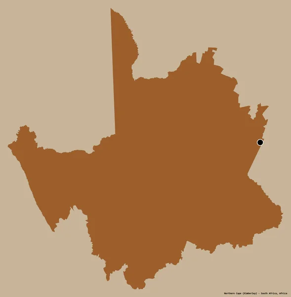
Shape of Northern Cape, province of South Africa, with its capital isolated on a solid color background. Composition of patterned textures. 3D rendering
Shape Northern Cape Province South Africa Its Capital Isolated Solid — Stock Photo, Image
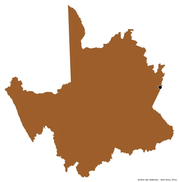
Shape of Northern Cape, province of South Africa, with its capital isolated on white background. Composition of patterned textures. 3D rendering
Shape Northern Cape Province South Africa Its Capital Isolated White — Stock Photo, Image
Shape of Kotayk, province of Armenia, with its capital isolated on white background. Composition of patterned textures. 3D rendering
Shape Kotayk Province Armenia Its Capital Isolated White Background Composition — Stock Photo, Image

Discover High-Quality Geography Teacher Images

Are you looking for images that capture the essence of geography teachers? Look no further! We offer a wide range of high-quality stock images that are perfect for all your teaching needs. From classrooms to field trips, our images are ideal for creating engaging presentations, educational materials, and marketing collaterals.

Types of Images

Our collection of geography teacher images includes a variety of photos, illustrations, and vectors, all in JPG, AI, and EPS formats. Whether you need images of teachers at work, students in class, or maps and globes, we have got you covered. Our images come in different styles and themes, ranging from minimalist to realistic, so you can easily find the right visual that fits your purpose.

Where to Use Our Images

Our geography teacher images are versatile and can be used for a variety of projects in different industries. Whether you are a teacher, blogger, marketer, or designer, our images can add depth and context to your message. You can use our images in classroom presentations, online courses, textbooks, blogs, social media, and marketing campaigns. Our images are also great for creating posters, flyers, and brochures to promote educational programs and events.

How to Use Our Images Correctly

When using our images, it's essential to keep in mind copyright laws and licensing agreements. Always read the terms and conditions of use to avoid copyright infringement and penalties. Furthermore, choose an image that is relevant and appropriate for your project and audience. Use the right image size and resolution to ensure that the image is clear and of high quality. Lastly, add attribution or credit to the image if required, to give proper recognition to the creator.
Conclusion

Our geography teacher images are a valuable resource that can help you create compelling, informative, and creative content. With our diverse collection of high-quality images, you can enrich your teaching materials, inspire your students, and engage your audience. Browse our collection today and find the perfect image that will bring your project to life.