Lithosphere Stock Photos

100,000 Lithosphere pictures are available under a royalty-free license

  • Best Match
  • Fresh
  • Popular
1-100 of 100,000
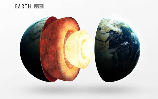
Earth inner structure. Elements of this image furnished by NASA
Earth inner structure. Elements of this image furnished by NASA — Stock Photo, Image
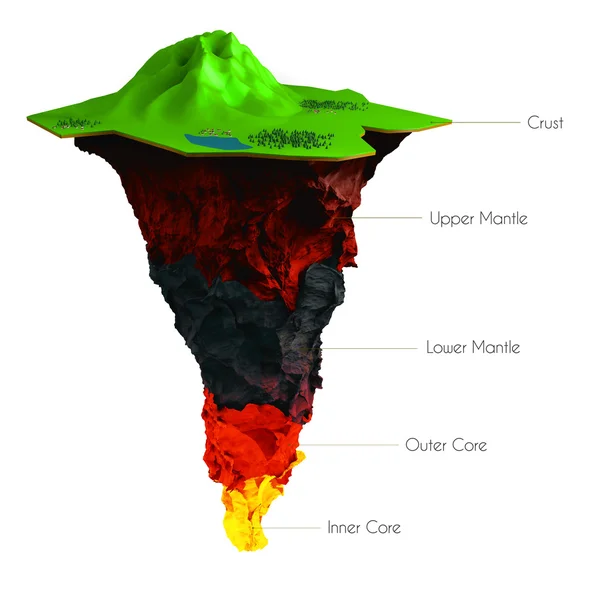
Earth structure isolated on white. Crust, upper mantle, lower , outer core and inner . cutaway. Layered .
Earth structure isolated on white. Crust, upper mantle, lower , outer core and inner .  cutaway. Layered . — Stock Photo, Image
Structure of the Earth
Structure of the Earth — Stock Photo, Image
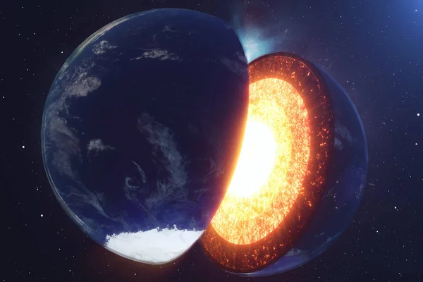
Structure core Earth. Structure layers of the earth. The structure of the earths crust. Earth cross section in space view. Elements of this image furnished by NASA. 3D rendering.
Structure core Earth. Structure layers of the earth. The structure of the earths crust. Earth cross section in space view. Elements of this image furnished by NASA. 3D rendering. — Stock Photo, Image
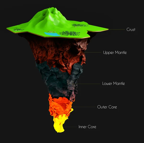
Earth structure isolated on black. Crust, upper mantle, lower , outer core and inner . cutaway. Layered .
Earth structure isolated on black. Crust, upper mantle, lower , outer core and inner .  cutaway. Layered . — Stock Photo, Image
Structure of the Earth
Structure of the Earth — Stock Photo, Image
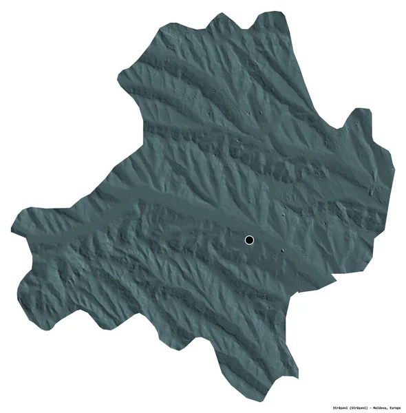
Shape of Straseni, district of Moldova, with its capital isolated on white background. Colored elevation map. 3D rendering
Shape Straseni District Moldova Its Capital Isolated White Background Colored — Stock Photo, Image
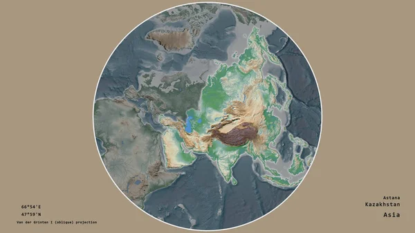
The area of Kazakhstan centered in the circle surrounding its continent on the desaturated background. Capital georeferences and names given. Color physical map
Area Kazakhstan Centered Circle Surrounding Its Continent Desaturated Background Capital — Stock Photo, Image
Area of Pando, department of Bolivia, isolated on a solid background in a georeferenced bounding box. Labels. Satellite imagery. 3D rendering
Area Pando Department Bolivia Isolated Solid Background Georeferenced Bounding Box — Stock Photo, Image
Shape of Trabzon, province of Turkey, with its capital isolated on a solid color background. Colored elevation map. 3D rendering
Shape Trabzon Province Turkey Its Capital Isolated Solid Color Background — Stock Photo, Image
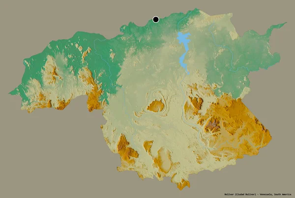
Shape of Bolivar, state of Venezuela, with its capital isolated on a solid color background. Topographic relief map. 3D rendering
Shape Bolivar State Venezuela Its Capital Isolated Solid Color Background — Stock Photo, Image
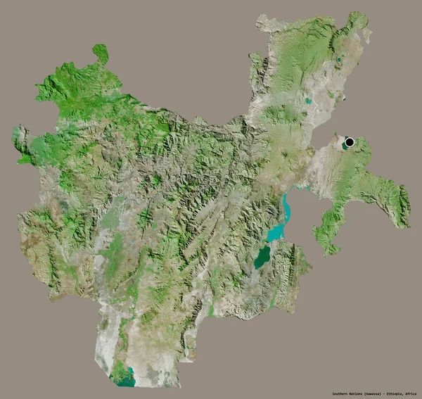
Shape of Southern Nations, state of Ethiopia, with its capital isolated on a solid color background. Satellite imagery. 3D rendering
Shape Southern Nations State Ethiopia Its Capital Isolated Solid Color — Stock Photo, Image
Area of Criuleni, district of Moldova, isolated on a solid background in a georeferenced bounding box. Labels. Colored elevation map. 3D rendering
Area Criuleni District Moldova Isolated Solid Background Georeferenced Bounding Box — Stock Photo, Image
Shape of Valais, canton of Switzerland, with its capital isolated on a solid color background. Colored elevation map. 3D rendering
Shape Valais Canton Switzerland Its Capital Isolated Solid Color Background — Stock Photo, Image
Area of Sikkim, state of India, isolated on a solid background in a georeferenced bounding box. Labels. Colored elevation map. 3D rendering
Area Sikkim State India Isolated Solid Background Georeferenced Bounding Box — Stock Photo, Image
Abstact Marble texture. Can be used for background or wallpaper
Abstact Marble texture. Can be used for background or wallpaper — Stock Photo, Image
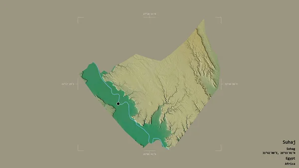
Area of Suhaj, governorate of Egypt, isolated on a solid background in a georeferenced bounding box. Labels. Topographic relief map. 3D rendering
Area Suhaj Governorate Egypt Isolated Solid Background Georeferenced Bounding Box — Stock Photo, Image
Area of Iasi, county of Romania, isolated on a solid background in a georeferenced bounding box. Labels. Topographic relief map. 3D rendering
Area Iasi County Romania Isolated Solid Background Georeferenced Bounding Box — Stock Photo, Image
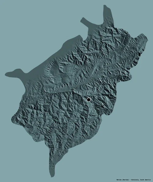
Shape of Merida, state of Venezuela, with its capital isolated on a solid color background. Colored elevation map. 3D rendering
Shape Merida State Venezuela Its Capital Isolated Solid Color Background — Stock Photo, Image
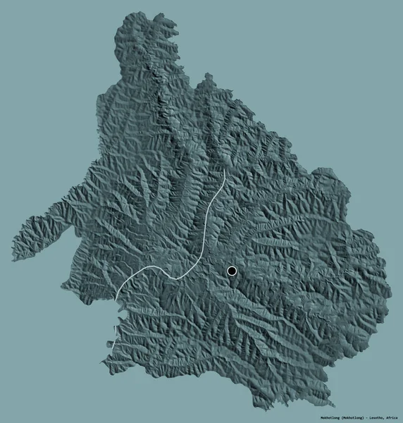
Shape of Mokhotlong, district of Lesotho, with its capital isolated on a solid color background. Colored elevation map. 3D rendering
Shape Mokhotlong District Lesotho Its Capital Isolated Solid Color Background — Stock Photo, Image
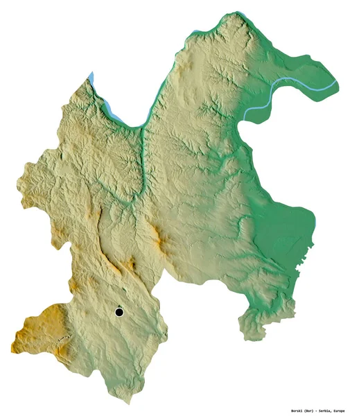
Shape of Borski, district of Serbia, with its capital isolated on white background. Topographic relief map. 3D rendering
Shape Borski District Serbia Its Capital Isolated White Background Topographic — Stock Photo, Image
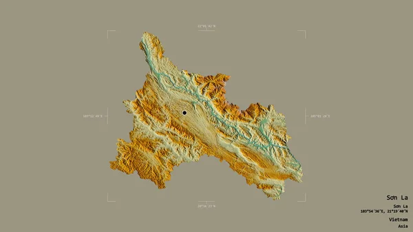
Area of Son La, province of Vietnam, isolated on a solid background in a georeferenced bounding box. Labels. Topographic relief map. 3D rendering
Area Son Province Vietnam Isolated Solid Background Georeferenced Bounding Box — Stock Photo, Image
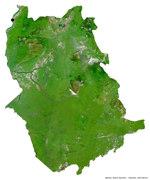
Shape of Amazonas, state of Venezuela, with its capital isolated on white background. Satellite imagery. 3D rendering
Shape Amazonas State Venezuela Its Capital Isolated White Background Satellite — Stock Photo, Image
Vertical cliff wall
Vertical cliff wall — Stock Photo, Image
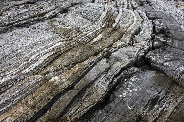
Abstract background of old cracked rock close-up
Abstract background of old cracked rock close-up — Stock Photo, Image
Shape of Pehcevo, municipality of Macedonia, with its capital isolated on a solid color background. Topographic relief map. 3D rendering
Shape Pehcevo Municipality Macedonia Its Capital Isolated Solid Color Background — Stock Photo, Image
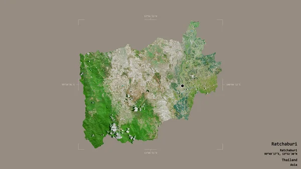
Area of Ratchaburi, province of Thailand, isolated on a solid background in a georeferenced bounding box. Labels. Satellite imagery. 3D rendering
Area Ratchaburi Province Thailand Isolated Solid Background Georeferenced Bounding Box — Stock Photo, Image
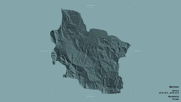
Area of Berovo, municipality of Macedonia, isolated on a solid background in a georeferenced bounding box. Labels. Colored elevation map. 3D rendering
Area Berovo Municipality Macedonia Isolated Solid Background Georeferenced Bounding Box — Stock Photo, Image
Nature background. Rocks view on the coast of famous Atlantic Ocean Road - Atlanterhavsveien , More og Romsdal county, Norway.
Nature Background Rocks View Coast Famous Atlantic Ocean Road Atlanterhavsveien — Stock Photo, Image
Area of Araucania, region of Chile, isolated on a solid background in a georeferenced bounding box. Labels. Topographic relief map. 3D rendering
Area Araucania Region Chile Isolated Solid Background Georeferenced Bounding Box — Stock Photo, Image
Shape of Leribe, district of Lesotho, with its capital isolated on solid background. Distance scale, region preview and labels. Composition of patterned textures. 3D rendering
Shape Leribe District Lesotho Its Capital Isolated Solid Background Distance — Stock Photo, Image
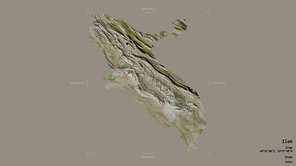
Area of Ilam, province of Iran, isolated on a solid background in a georeferenced bounding box. Labels. Satellite imagery. 3D rendering
Area Ilam Province Iran Isolated Solid Background Georeferenced Bounding Box — Stock Photo, Image
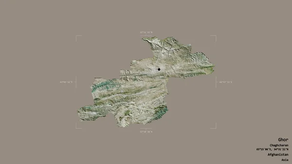
Area of Ghor, province of Afghanistan, isolated on a solid background in a georeferenced bounding box. Labels. Satellite imagery. 3D rendering
Area Ghor Province Afghanistan Isolated Solid Background Georeferenced Bounding Box — Stock Photo, Image
Shape of Iran with its capital isolated on white background. Satellite imagery. 3D rendering
Shape Iran Its Capital Isolated White Background Satellite Imagery Rendering — Stock Photo, Image
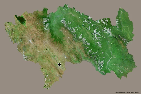
Shape of Junin, region of Peru, with its capital isolated on a solid color background. Satellite imagery. 3D rendering
Shape Junin Region Peru Its Capital Isolated Solid Color Background — Stock Photo, Image
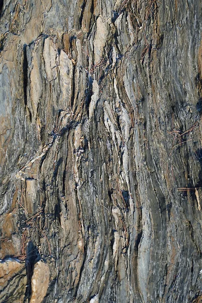
Natural drawings on stone near river in Carpathian Mountains in Ukraine
Natural Drawings Stone River Carpathian Mountains Ukraine — Stock Photo, Image
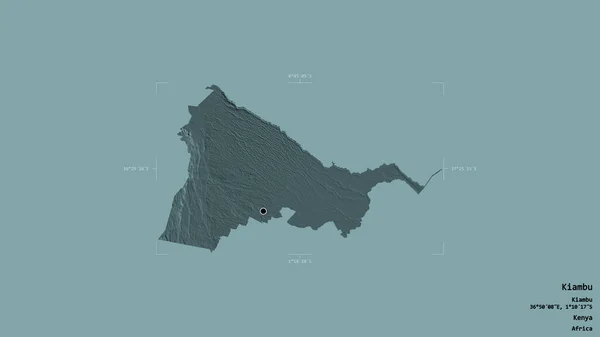
Area of Kiambu, county of Kenya, isolated on a solid background in a georeferenced bounding box. Labels. Colored elevation map. 3D rendering
Area Kiambu County Kenya Isolated Solid Background Georeferenced Bounding Box — Stock Photo, Image
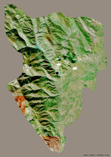
Shape of Lipkovo, municipality of Macedonia, with its capital isolated on a solid color background. Satellite imagery. 3D rendering
Shape Lipkovo Municipality Macedonia Its Capital Isolated Solid Color Background — Stock Photo, Image
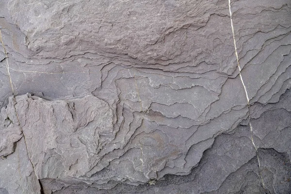
The texture of the rock on the cliff by the sea. Stone block
Texture Rock Cliff Sea Stone Block — Stock Photo, Image
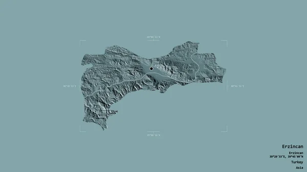
Area of Erzincan, province of Turkey, isolated on a solid background in a georeferenced bounding box. Labels. Colored elevation map. 3D rendering
Area Erzincan Province Turkey Isolated Solid Background Georeferenced Bounding Box — Stock Photo, Image
Area of Ibb, governorate of Yemen, isolated on a solid background in a georeferenced bounding box. Labels. Satellite imagery. 3D rendering
Area Ibb Governorate Yemen Isolated Solid Background Georeferenced Bounding Box — Stock Photo, Image
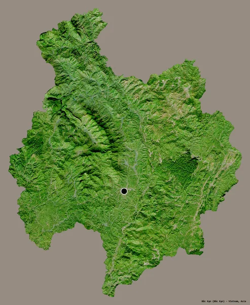
Shape of Bac Kan, province of Vietnam, with its capital isolated on a solid color background. Satellite imagery. 3D rendering
Shape Bac Kan Province Vietnam Its Capital Isolated Solid Color — Stock Photo, Image
Photo of water splash
Photo of water splash — Stock Photo, Image
Area of Soroca, district of Moldova, isolated on a solid background in a georeferenced bounding box. Labels. Topographic relief map. 3D rendering
Area Soroca District Moldova Isolated Solid Background Georeferenced Bounding Box — Stock Photo, Image
Area of Dzavhan, province of Mongolia, isolated on a solid background in a georeferenced bounding box. Labels. Topographic relief map. 3D rendering
Area Dzavhan Province Mongolia Isolated Solid Background Georeferenced Bounding Box — Stock Photo, Image
Samdrupjongkhar, district of Bhutan. Elevation map colored in wiki style with lakes and rivers
Samdrupjongkhar District Bhutan Elevation Map Colored Wiki Style Lakes Rivers — Stock Photo, Image
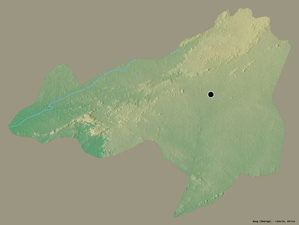
Shape of Bong, county of Liberia, with its capital isolated on a solid color background. Topographic relief map. 3D rendering
Shape Bong County Liberia Its Capital Isolated Solid Color Background — Stock Photo, Image
Shape of Branicevski, district of Serbia, with its capital isolated on a solid color background. Satellite imagery. 3D rendering
Shape Branicevski District Serbia Its Capital Isolated Solid Color Background — Stock Photo, Image
Desaturated shape of France with its capital, main regional division and the separated Centre-Val de Loire area. Labels. Topographic relief map. 3D rendering
Desaturated Shape France Its Capital Main Regional Division Separated Centre — Stock Photo, Image
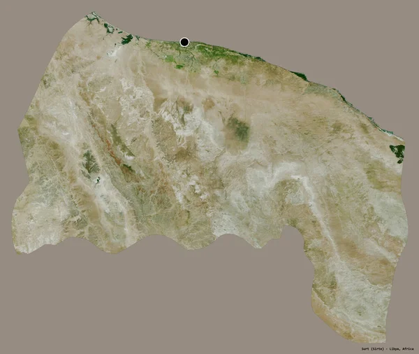
Shape of Surt, district of Libya, with its capital isolated on a solid color background. Satellite imagery. 3D rendering
Shape Surt District Libya Its Capital Isolated Solid Color Background — Stock Photo, Image
Area of Turkey marked with a circle on the large-scale map of the continent isolated against desaturated background. Capital georeferences and names given. Color physical map
Area Turkey Marked Circle Large Scale Map Continent Isolated Desaturated — Stock Photo, Image
Shape of Diber, county of Albania, with its capital isolated on a solid color background. Bilevel elevation map. 3D rendering
Shape Diber County Albania Its Capital Isolated Solid Color Background — Stock Photo, Image
Area of Lankaran, region of Azerbaijan, isolated on a solid background in a georeferenced bounding box. Labels. Topographic relief map. 3D rendering
Area Lankaran Region Azerbaijan Isolated Solid Background Georeferenced Bounding Box — Stock Photo, Image
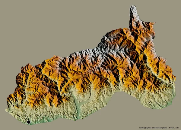
Shape of Samdrupjongkhar, district of Bhutan, with its capital isolated on a solid color background. Topographic relief map. 3D rendering
Shape Samdrupjongkhar District Bhutan Its Capital Isolated Solid Color Background — Stock Photo, Image
Shape of odz, voivodeship of Poland, with its capital isolated on solid background. Distance scale, region preview and labels. Bilevel elevation map. 3D rendering
Shape Odz Voivodeship Poland Its Capital Isolated Solid Background Distance — Stock Photo, Image
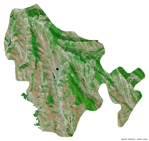
Shape of Nisporeni, district of Moldova, with its capital isolated on white background. Satellite imagery. 3D rendering
Shape Nisporeni District Moldova Its Capital Isolated White Background Satellite — Stock Photo, Image
Area of Jihomoravsky, region of Czech Republic, isolated on a solid background in a georeferenced bounding box. Labels. Topographic relief map. 3D rendering
Area Jihomoravsky Region Czech Republic Isolated Solid Background Georeferenced Bounding — Stock Photo, Image
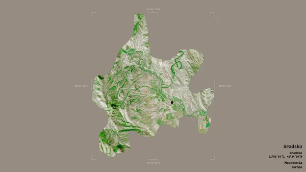
Area of Gradsko, municipality of Macedonia, isolated on a solid background in a georeferenced bounding box. Labels. Satellite imagery. 3D rendering
Area Gradsko Municipality Macedonia Isolated Solid Background Georeferenced Bounding Box — Stock Photo, Image
Area of Lao Cai, province of Vietnam, isolated on a solid background in a georeferenced bounding box. Labels. Satellite imagery. 3D rendering
Area Lao Cai Province Vietnam Isolated Solid Background Georeferenced Bounding — Stock Photo, Image
Shape of Managua, department of Nicaragua, with its capital isolated on a solid color background. Topographic relief map. 3D rendering
Shape Managua Department Nicaragua Its Capital Isolated Solid Color Background — Stock Photo, Image
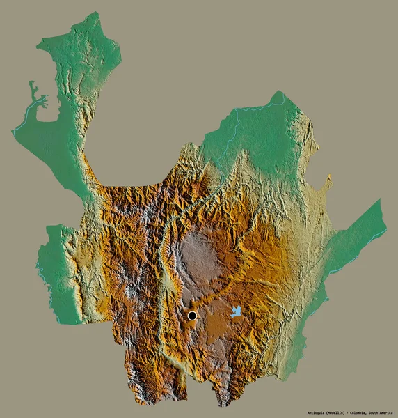
Shape of Antioquia, department of Colombia, with its capital isolated on a solid color background. Topographic relief map. 3D rendering
Shape Antioquia Department Colombia Its Capital Isolated Solid Color Background — Stock Photo, Image
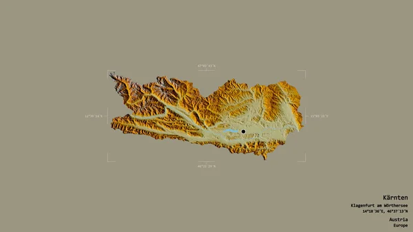
Area of Karnten, state of Austria, isolated on a solid background in a georeferenced bounding box. Labels. Topographic relief map. 3D rendering
Area Karnten State Austria Isolated Solid Background Georeferenced Bounding Box — Stock Photo, Image
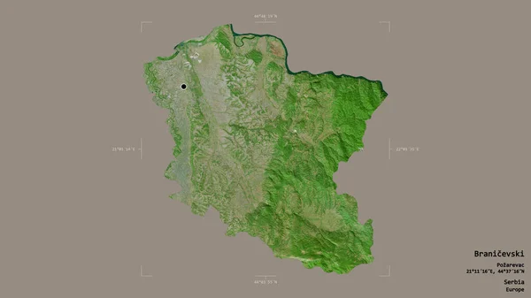
Area of Branicevski, district of Serbia, isolated on a solid background in a georeferenced bounding box. Labels. Satellite imagery. 3D rendering
Area Branicevski District Serbia Isolated Solid Background Georeferenced Bounding Box — Stock Photo, Image
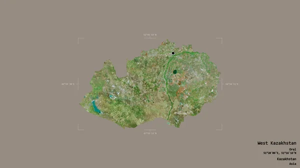
Area of West Kazakhstan, region of Kazakhstan, isolated on a solid background in a georeferenced bounding box. Labels. Satellite imagery. 3D rendering
Area West Kazakhstan Region Kazakhstan Isolated Solid Background Georeferenced Bounding — Stock Photo, Image
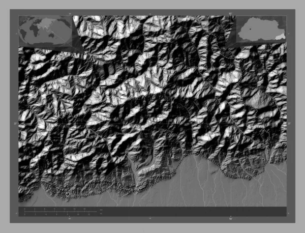
Samdrupjongkhar, district of Bhutan. Bilevel elevation map with lakes and rivers. Corner auxiliary location maps
Samdrupjongkhar District Bhutan Bilevel Elevation Map Lakes Rivers Corner Auxiliary — Stock Photo, Image
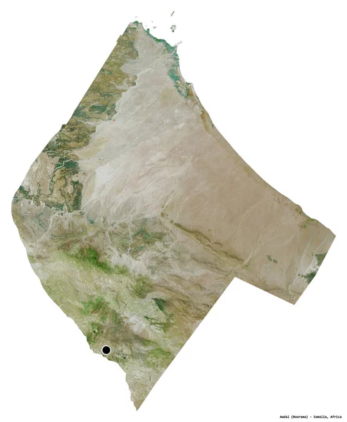
Shape of Awdal, region of Somalia, with its capital isolated on white background. Satellite imagery. 3D rendering
Shape Awdal Region Somalia Its Capital Isolated White Background Satellite — Stock Photo, Image
Natural stone with a beautiful texture in Canadian forest in Quebec, Lanaudiere region
Natural Stone Beautiful Texture Canadian Forest Quebec Lanaudiere Region — Stock Photo, Image
Sea with rocky coastline at daytime
Sea Rocky Coastline Daytime — Stock Photo, Image
Textured rock surface as background
Textured Rock Surface Background — Stock Photo, Image
Creative pattern. Stone pattern. Ceramic texture. wallpaper design. Vector pattern. Repeat lines.
Creative Pattern Stone Pattern Ceramic Texture Wallpaper Design Vector Pattern — Stock Photo, Image
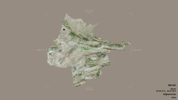
Area of Herat, province of Afghanistan, isolated on a solid background in a georeferenced bounding box. Labels. Satellite imagery. 3D rendering
Area Herat Province Afghanistan Isolated Solid Background Georeferenced Bounding Box — Stock Photo, Image
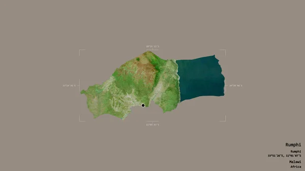
Area of Rumphi, district of Malawi, isolated on a solid background in a georeferenced bounding box. Labels. Satellite imagery. 3D rendering
Area Rumphi District Malawi Isolated Solid Background Georeferenced Bounding Box — Stock Photo, Image
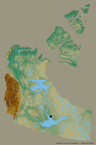
Shape of Northwest Territories, territory of Canada, with its capital isolated on a solid color background. Topographic relief map. 3D rendering
Shape Northwest Territories Territory Canada Its Capital Isolated Solid Color — Stock Photo, Image
Stone texture
Stone texture — Stock Photo, Image
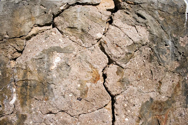
Plaster cement a crack
Plaster cement a crack — Stock Photo, Image
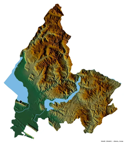
Shape of Shkoder, county of Albania, with its capital isolated on white background. Topographic relief map. 3D rendering
Shape Shkoder County Albania Its Capital Isolated White Background Topographic — Stock Photo, Image
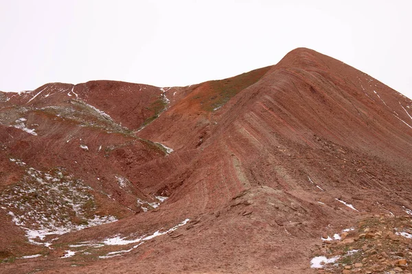
Beautiful red mountains of Azerbaijan in winter. Khizi region.
Beautiful Red Mountains Azerbaijan Winter Khizi Region — Stock Photo, Image
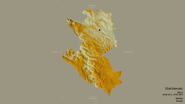
Area of Zlatiborski, district of Serbia, isolated on a solid background in a georeferenced bounding box. Labels. Topographic relief map. 3D rendering
Area Zlatiborski District Serbia Isolated Solid Background Georeferenced Bounding Box — Stock Photo, Image
Samdrupjongkhar, district of Bhutan. Bilevel elevation map with lakes and rivers. Locations of major cities of the region. Corner auxiliary location maps
Samdrupjongkhar District Bhutan Bilevel Elevation Map Lakes Rivers Locations Major — Stock Photo, Image
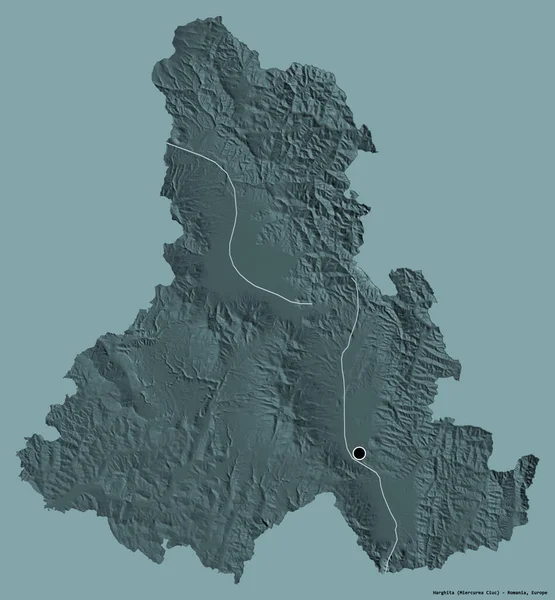
Shape of Harghita, county of Romania, with its capital isolated on a solid color background. Colored elevation map. 3D rendering
Shape Harghita County Romania Its Capital Isolated Solid Color Background — Stock Photo, Image
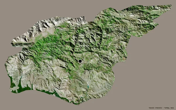
Shape of Tunceli, province of Turkey, with its capital isolated on a solid color background. Satellite imagery. 3D rendering
Shape Tunceli Province Turkey Its Capital Isolated Solid Color Background — Stock Photo, Image
Shape of Ordu, province of Turkey, with its capital isolated on a solid color background. Colored elevation map. 3D rendering
Shape Ordu Province Turkey Its Capital Isolated Solid Color Background — Stock Photo, Image
Area of odz, voivodeship of Poland, isolated on a solid background in a georeferenced bounding box. Labels. Satellite imagery. 3D rendering
Area Odz Voivodeship Poland Isolated Solid Background Georeferenced Bounding Box — Stock Photo, Image
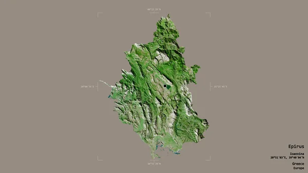
Area of Epirus, decentralized administration of Greece, isolated on a solid background in a georeferenced bounding box. Labels. Satellite imagery. 3D rendering
Area Epirus Decentralized Administration Greece Isolated Solid Background Georeferenced Bounding — Stock Photo, Image
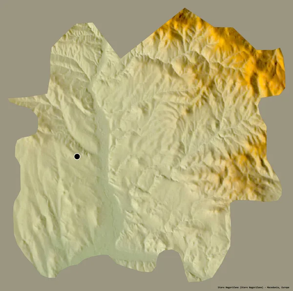
Shape of Staro Nagoricane, municipality of Macedonia, with its capital isolated on a solid color background. Topographic relief map. 3D rendering
Shape Staro Nagoricane Municipality Macedonia Its Capital Isolated Solid Color — Stock Photo, Image
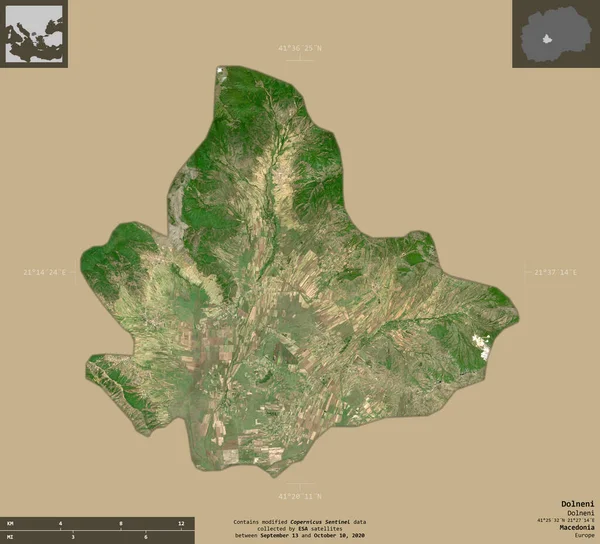
Dolneni, municipality of Macedonia. Sentinel-2 satellite imagery. Shape isolated on solid background with informative overlays. Contains modified Copernicus Sentinel data
Dolneni Municipality Macedonia Sentinel Satellite Imagery Shape Isolated Solid Background — Stock Photo, Image
Area of Kirundo, province of Burundi, isolated on a solid background in a georeferenced bounding box. Labels. Topographic relief map. 3D rendering
Area Kirundo Province Burundi Isolated Solid Background Georeferenced Bounding Box — Stock Photo, Image
Desaturated shape of Nepal with its capital, main regional division and the separated East area. Labels. Satellite imagery. 3D rendering
Desaturated Shape Nepal Its Capital Main Regional Division Separated East — Stock Photo, Image
Shape of Parwan, province of Afghanistan, with its capital isolated on a solid color background. Colored elevation map. 3D rendering
Shape Parwan Province Afghanistan Its Capital Isolated Solid Color Background — Stock Photo, Image
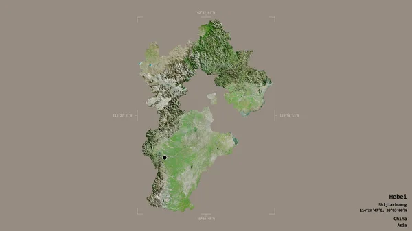
Area of Hebei, province of China, isolated on a solid background in a georeferenced bounding box. Labels. Satellite imagery. 3D rendering
Area Hebei Province China Isolated Solid Background Georeferenced Bounding Box — Stock Photo, Image
Shape of Strumitsa, municipality of Macedonia, with its capital isolated on white background. Topographic relief map. 3D rendering
Shape Strumitsa Municipality Macedonia Its Capital Isolated White Background Topographic — Stock Photo, Image
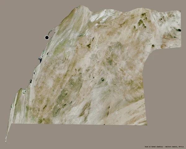
Shape of Oued el Dahab, province of Western Sahara, with its capital isolated on a solid color background. Satellite imagery. 3D rendering
Shape Oued Dahab Province Western Sahara Its Capital Isolated Solid — Stock Photo, Image
Shape of Punakha, district of Bhutan, with its capital isolated on a solid color background. Topographic relief map. 3D rendering
Shape Punakha District Bhutan Its Capital Isolated Solid Color Background — Stock Photo, Image
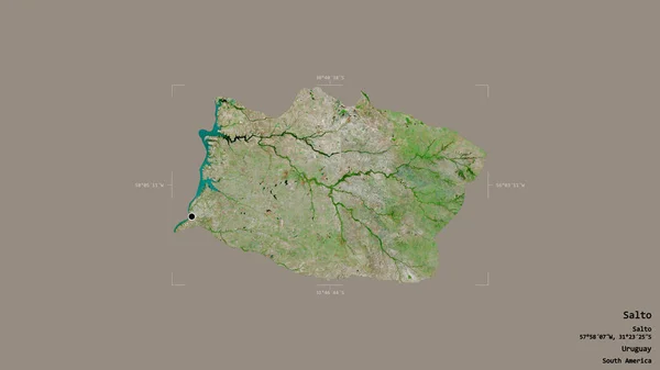
Area of Salto, department of Uruguay, isolated on a solid background in a georeferenced bounding box. Labels. Satellite imagery. 3D rendering
Area Salto Department Uruguay Isolated Solid Background Georeferenced Bounding Box — Stock Photo, Image
Background. Stones and rocks. A photo in the Nature
Background. Stones and rocks. A photo in the Nature — Stock Photo, Image
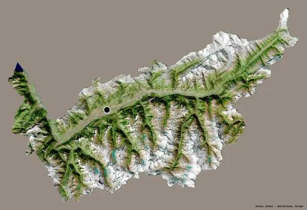
Shape of Valais, canton of Switzerland, with its capital isolated on a solid color background. Satellite imagery. 3D rendering
Shape Valais Canton Switzerland Its Capital Isolated Solid Color Background — Stock Photo, Image
Shape of Northern Areas, centrally administered area of Pakistan, with its capital isolated on a solid color background. Satellite imagery. 3D rendering
Shape Northern Areas Centrally Administered Area Pakistan Its Capital Isolated — Stock Photo, Image
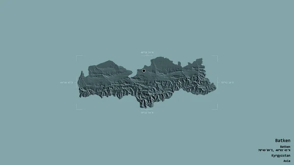
Area of Batken, province of Kyrgyzstan, isolated on a solid background in a georeferenced bounding box. Labels. Colored elevation map. 3D rendering
Area Batken Province Kyrgyzstan Isolated Solid Background Georeferenced Bounding Box — Stock Photo, Image
Area of Monsenor Nouel, province of Dominican Republic, isolated on a solid background in a georeferenced bounding box. Labels. Colored elevation map. 3D rendering
Area Monsenor Nouel Province Dominican Republic Isolated Solid Background Georeferenced — Stock Photo, Image
Yellow rock and blue sky, background. High cliff on the beach of Santa Cruz, Portugal.
Yellow Rock Blue Sky Background High Cliff Beach Santa Cruz — Stock Photo, Image

Find Stunning Images of the Lithosphere for Your Projects

Are you in need of high-quality images that showcase the beauty of the lithosphere? Our collection of stock images is the perfect solution for you! We offer a wide variety of visually appealing lithosphere images, from volcanic eruptions to mountain landscapes.

Our lithosphere images are available in JPG, AI, and EPS file formats. All files are saved in high-resolution, making them suitable for use in any project, regardless of size. You can use these beautiful images in presentations, reports, articles, and other promotional materials.

The Best Lithosphere Images for Different Projects

Choosing the right image is an important part of any project. Whether you are designing a brochure or creating a presentation, the right image will help to convey your message more effectively. When selecting images from our collection, here are some things to consider:

  • The tone of your project: Choose images that match the overall tone of your project. For example, if you are creating a serious scientific report, choose images that are realistic and accurate.
  • Your target audience: Consider the age, interests, and preferences of your audience when selecting images. For example, if your audience is primarily students, you may want to use images that are more dynamic and colorful.
  • The context of your project: Ensure that the images you choose are appropriate for the context of your project. If you are creating a brochure for a national park, for example, choose images that reflect the beauty and diversity of the park's landscapes.

Expert Advice on How to Use Lithosphere Images Effectively

Now that you have selected the perfect images for your project, it's time to use them effectively. Here are some tips for using lithosphere images:

  • Use images to break up long blocks of text: By using images alongside your text, you can help to break up lengthy paragraphs and make your content more visually appealing.
  • Avoid using cliche images: While images of mountains and volcanoes are certainly beautiful, they can be overused. Instead, choose images that are unique and capture the essence of the lithosphere.
  • Use images to tell a story: Images can be a powerful way of telling a story. Consider using a series of images to showcase the processes that shaped the lithosphere over time.

Explore Our Collection of Lithosphere Images Today

Ready to discover the perfect lithosphere image for your next project? Explore our collection today and find stunning images that will bring your project to life. With our high-quality, professionally curated images, you can be confident that you are choosing the best images for your project.