Map of world Stock Photos

100,000 Map of world pictures are available under a royalty-free license

  • Best Match
  • Fresh
  • Popular
1-100 of 100,000
Map of the World case and links
Map of the World case and links — Stock Photo, Image
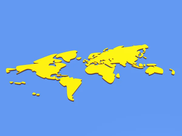
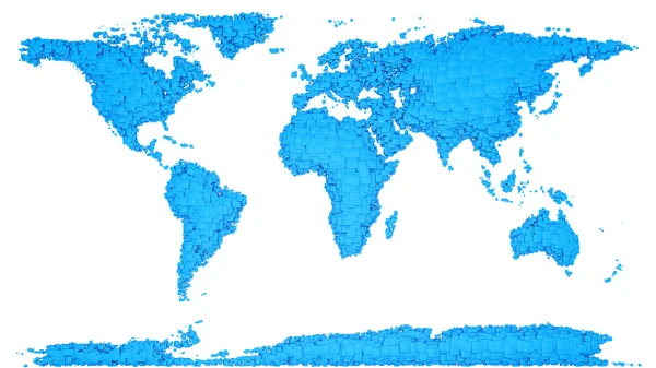
3D world map
3D world map — Stock Photo, Image
Earth map
Earth map — Stock Photo, Image
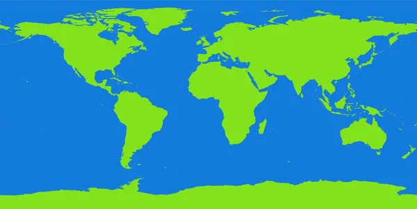
Map of the world
Map of the world — Stock Photo, Image
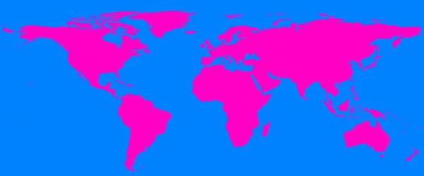
World map
World map — Stock Photo, Image
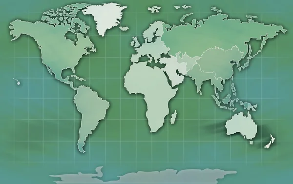
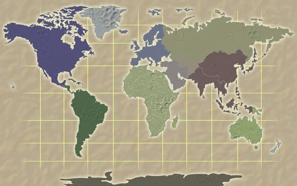
World map texture background
World map texture background — Stock Photo, Image
Paper world map
Paper world map — Stock Photo, Image
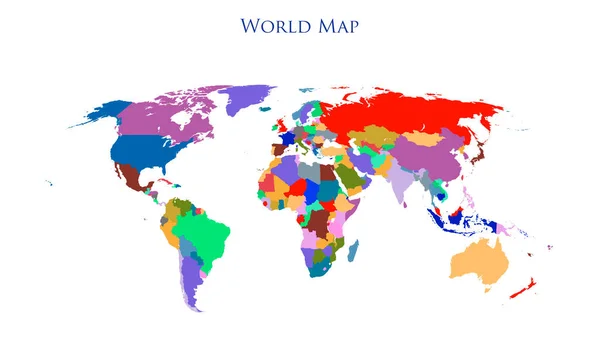
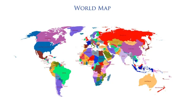
Colorful detailed world map with all countries illustration
Colorful Detailed World Map All Countries Illustration — Stock Photo, Image
World Map Illustration
World Map Illustration — Stock Photo, Image
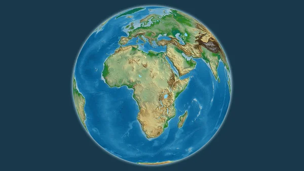
Physical globe map centered on Central African Republic
Physical Globe Map Centered Central African Republic — Stock Photo, Image
World Map
World Map — Stock Photo, Image
World Map
World Map — Stock Photo, Image
3D map of the world
3D map of the world — Stock Photo, Image
Earth map
Earth map — Stock Photo, Image
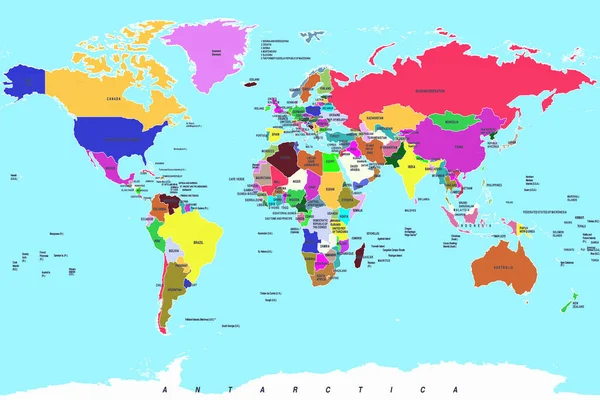
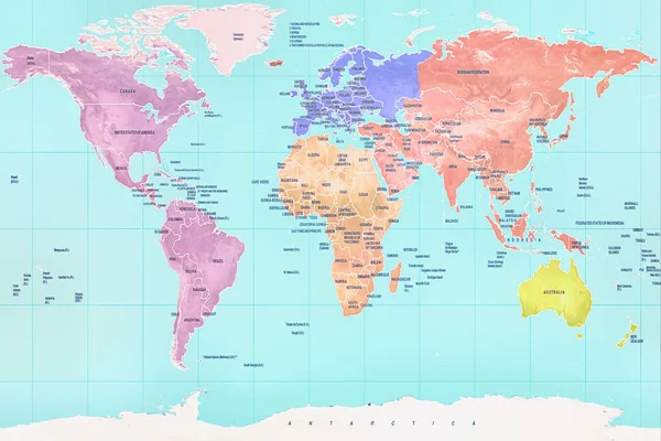
Colorful detailed world map with all countries and names illustration
Colorful Detailed World Map All Countries Names Illustration — Stock Photo, Image
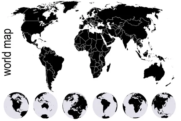
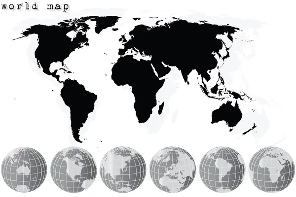
Black world map with set of Earth globes
Black world map with set of Earth globes — Stock Photo, Image
3D world map, white background.
World Map White Background — Stock Photo, Image
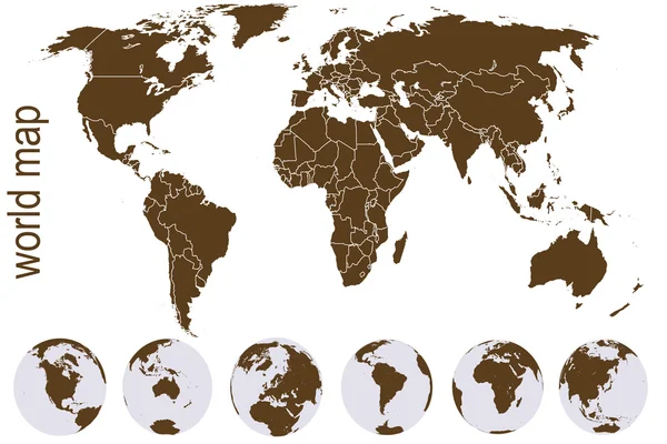
Brown world map with Earth globes
Brown world map with Earth globes — Stock Photo, Image
Old brown map of the world ,blue background
Old Brown Map World Blue Background — Stock Photo, Image
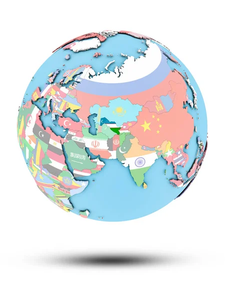
Uzbekistan on political globe with national flags isolated on white background. 3D illustration.
Uzbekistan Political Globe National Flags Isolated White Background Illustration — Stock Photo, Image
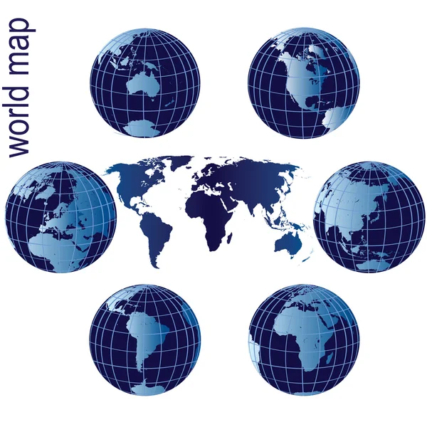
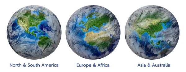
Set of Earth globes and world map
Set of Earth globes and world map — Stock Photo, Image
World Map Illustration
World Map Illustration — Stock Photo, Image
Planisphère
Planisphère — Stock Photo, Image
World map with the different continents and oceans.
World Map Different Continents Oceans — Stock Photo, Image
Modern art, digital illustration wallpaper
Modern Art Digital Illustration Wallpaper — Stock Photo, Image
Eritrea with embedded national flag on blue political 3D globe. 3D illustration isolated on white background.
Eritrea Embedded National Flag Blue Political Globe Illustration Isolated White — Stock Photo, Image
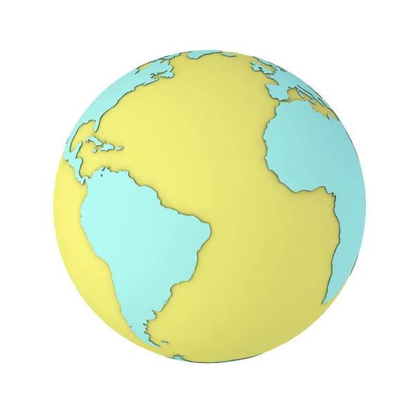
Orange Earth with mint continents on a white background. 3D render.
Orange Earth Mint Continents White Background Render — Stock Photo, Image
World of dots
World of dots — Stock Photo, Image
Coronavirus bacterial cell in the shape of a planet. Image of the globe and coronovirus, on a white background. Concept: Covid-19, global crisis, epidemic, pandemic.
Coronavirus Bacterial Cell Shape Planet Image Globe Coronovirus White Background — Stock Photo, Image
Map illustration
Map illustration — Stock Photo, Image
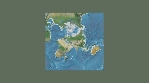
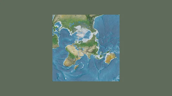
Square frame of the large-scale map of the world in an oblique Van der Grinten projection centered on the territory of Kazakhstan. Satellite imagery
Square Frame Large Scale Map World Oblique Van Der Grinten — Stock Photo, Image
Square frame of the large-scale map of the world in an oblique Van der Grinten projection centered on the territory of Kazakhstan. Satellite imagery
Square Frame Large Scale Map World Oblique Van Der Grinten — Stock Photo, Image
Colorful dot theme art world globe
Colorful Dot Theme Art World Globe — Stock Photo, Image
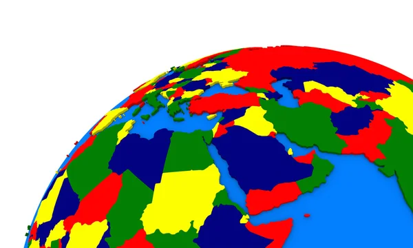
Middle east region on Earth political map
Middle east region on Earth political map — Stock Photo, Image
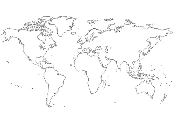
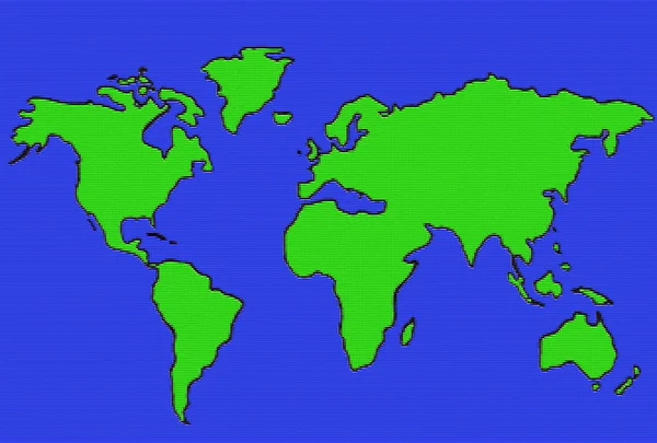
World map contour continents
World map contour continents — Stock Photo, Image
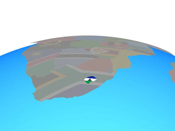
Lesotho with national flag on political globe. 3D illustration.
Lesotho National Flag Political Globe Illustration — Stock Photo, Image
Grey world map and earth globes
Grey world map and earth globes — Stock Photo, Image
World Map
World Map — Stock Photo, Image
World Map
World Map — Stock Photo, Image
World Map Illustration
World Map Illustration — Stock Photo, Image
Botswana with national flag on simple blue political globe. 3D illustration.
Botswana National Flag Simple Blue Political Globe Illustration — Stock Photo, Image
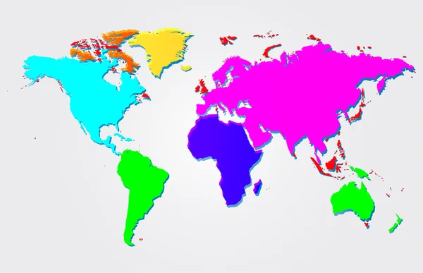
Multicolored world map illustration
Multicolored world map illustration — Stock Photo, Image
Map of Swaziland with flag
Map of Swaziland with flag — Stock Photo, Image
Earth
Earth — Stock Photo, Image
Highly detailed colorful geographic world map
Highly Detailed Colorful Geographic World Map — Stock Photo, Image
World map planisphere
World map planisphere — Stock Photo, Image
Cartoon style planet flat illustration . High quality illustration
Cartoon Style Planet Flat Illustration High Quality Illustration — Stock Photo, Image
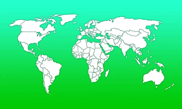
White World Map with countries on green background
White World Map Countries Green Background — Stock Photo, Image
World Map
World Map — Stock Photo, Image
World map
World map — Stock Photo, Image
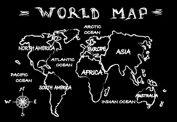
Chalkboard world map
Chalkboard world map — Stock Photo, Image
Geometric blue earth globe on white background 3D rendering
Geometric Blue Earth Globe White Background Rendering — Stock Photo, Image
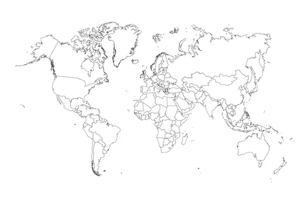
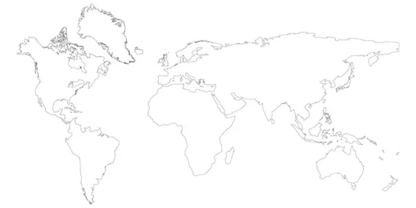
Illustration of very fine outline of the world (with country bor
Illustration of very fine outline of the world (with country bor — Stock Photo, Image
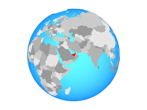
United Arab Emirates on blue political globe. 3D illustration isolated on white background.
United Arab Emirates Blue Political Globe Illustration Isolated White Background — Stock Photo, Image
Blue map of the world on black background
Blue map of the world on black background — Stock Photo, Image
World map
World map — Stock Photo, Image
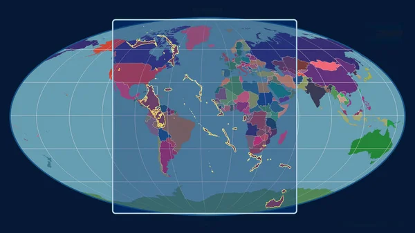
Zoomed-in view of Bahamas outline with perspective lines against a global map in the Mollweide projection. Shape centered. color map of administrative divisions
Zoomed View Bahamas Outline Perspective Lines Global Map Mollweide Projection — Stock Photo, Image
Grey World map isolated on white background
Grey World Map Isolated White Background — Stock Photo, Image
Halftone background with the world map and label
Halftone background with the world map and label — Stock Photo, Image
World map
World map — Stock Photo, Image
World Map Illustration
World Map Illustration — Stock Photo, Image
Yellow Earth on a white background. Rotate animation. 3D render.
Yellow Earth White Background Rotate Animation Render — Stock Photo, Image
World map raster isolated on white background. Flat Earth, map template for web site pattern, anual report, inphographics. Globe similar worldmap icon. Travel worldwide, map backdrop
World map raster isolated on white background. Flat Earth, map template for web site pattern, anual report, inphographics. Globe similar worldmap icon. Travel worldwide, map backdrop — Stock Photo, Image
World Map Illustration
World Map Illustration — Stock Photo, Image
World map
World map — Stock Photo, Image
World Map Illustration
World Map Illustration — Stock Photo, Image
Planet Earth 3D flag with the wind Belize
Planet Earth 3D flag with the wind Belize — Stock Photo, Image
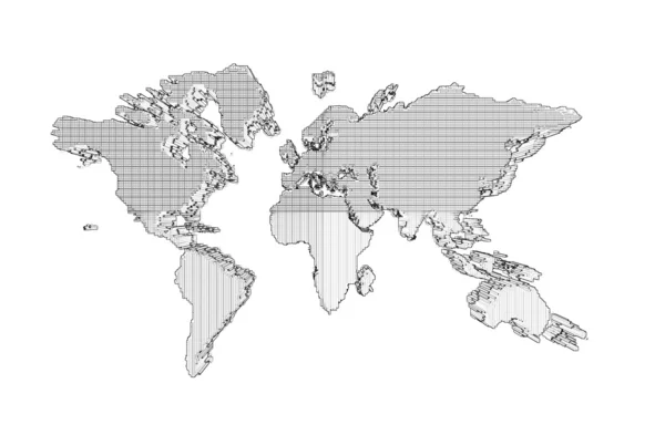
Retro black and white halftone world map
Retro Black White Halftone World Map — Stock Photo, Image
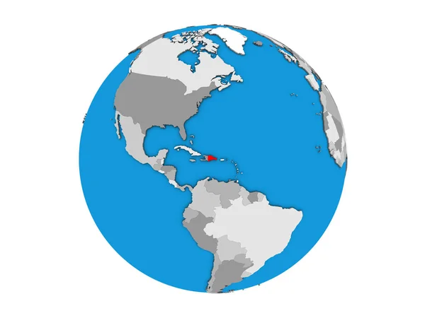
Dominican Republic on blue political 3D globe. 3D illustration isolated on white background.
Dominican Republic Blue Political Globe Illustration Isolated White Background — Stock Photo, Image
Futuristic global 5G worldwide communication via broadband internet connections between cities around the world with matrix particles continent map for head up display background
Futuristic Global Worldwide Communication Broadband Internet Connections Cities World Matrix — Stock Photo, Image
Haiti on blue political 3D globe. 3D illustration isolated on white background.
Haiti Blue Political Globe Illustration Isolated White Background — Stock Photo, Image
World map
World map — Stock Photo, Image
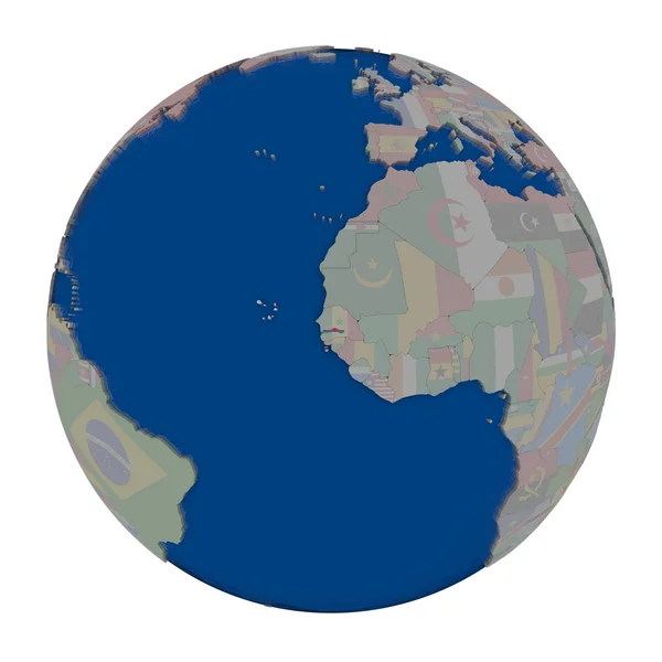
Gambia on political globe
Gambia on political globe — Stock Photo, Image
Highly detailed colorful geographic world map
Highly Detailed Colorful Geographic World Map — Stock Photo, Image
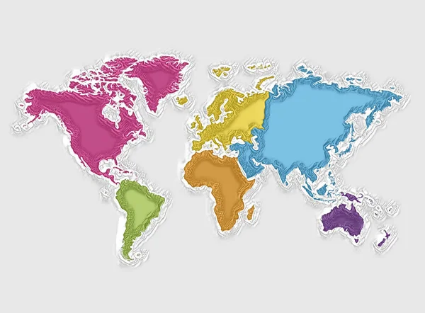
World map and colorful continents, abstract texture art
World Map Colorful Continents Abstract Texture Art — Stock Photo, Image
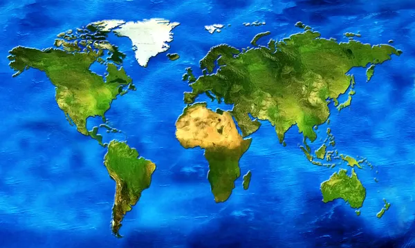
World map with continents earth color and blue water
World Map Continents Earth Color Blue Water — Stock Photo, Image
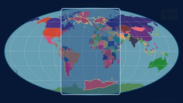
Zoomed-in view of United States Virgin Islands outline with perspective lines against a global map in the Mollweide projection. Shape centered. color map of administrative divisions
Zoomed View United States Virgin Islands Outline Perspective Lines Global — Stock Photo, Image
Detailed world map with Earth globes
Detailed world map with Earth globes — Stock Photo, Image
World map - illustrated 3D background - map template for web page design - 3D rendering
World Map Illustrated Background Map Template Web Page Design Rendering — Stock Photo, Image
World gold map
World gold map — Stock Photo, Image
Qatar with national flag on blue political globe. 3D illustration isolated on white background.
Qatar National Flag Blue Political Globe Illustration Isolated White Background — Stock Photo, Image
World Map with colored countries on blue grunge cement plaster background
World Map Colored Countries Blue Grunge Cement Plaster Background — Stock Photo, Image
World Map Illustration
World Map Illustration — Stock Photo, Image
Earth map as brush illustration
Earth map as brush illustration — Stock Photo, Image
ESwatini with national flag on political globe. 3D illustration.
Eswatini National Flag Political Globe Illustration — Stock Photo, Image
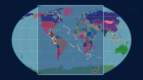
Zoomed-in view of Bahamas outline with perspective lines against a global map in the Kavrayskiy projection. Shape centered. color map of administrative divisions
Zoomed View Bahamas Outline Perspective Lines Global Map Kavrayskiy Projection — Stock Photo, Image
Global map with a planet Earth
Global map with a planet Earth — Stock Photo, Image
Political map of the world. Gray world map-countries. White world map paper. Illustration
Political Map World Gray World Map Countries White World Map — Stock Photo, Image
Old world map
Old world map — Stock Photo, Image
World Map Illustration
World Map Illustration — Stock Photo, Image
World map
World map — Stock Photo, Image
3D rendering of the contour of the planet Earth. You can see continents, borders of the seas and oceans. Elements of this image furnished by NASA
Rendering Contour Planet Earth You Can See Continents Borders Seas — Stock Photo, Image
World Map Illustration
World Map Illustration — Stock Photo, Image
Planet Earth, Global World showing America, Europe, Africa, Asia, continent. Photo realistic 3 D rendering with clipping path
Planet Earth, Global World showing America, Europe, Africa, Asia, continent. Photo realistic 3 D rendering with clipping path — Stock Photo, Image
This is a illustration of Hand-painted texture style earth
Illustration Hand Painted Texture Style Earth — Stock Photo, Image
World Map
World Map — Stock Photo, Image
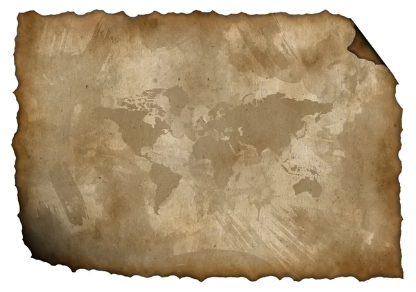
Isolated old paper with a map
Isolated old paper with a map — Stock Photo, Image
3D Earth in Motion. Nice 3D Render
3D Earth in Motion. Nice 3D Render — Stock Photo, Image
Technological background with illustration art with some colorful texture and art.
Technological Background Illustration Art Some Colorful Texture Art — Stock Photo, Image

Map of World Images: Enhance Your Projects with Stunning Visuals

Are you in need of captivating visuals for your projects? Look no further! Our extensive collection of high-quality map of world images is guaranteed to add a touch of sophistication to any design. With a wide range of file formats available, including JPG, AI, and EPS, our images are suitable for various purposes, from website backgrounds to print materials. In this article, we'll guide you through the different types of images available, offer practical advice on how to incorporate them effectively, and help you make the right choice for your projects.

Awe-Inspiring Stock Images to Bring Your Ideas to Life

Our map of world images will leave your audience in awe. Whether you're working on a presentation, website, or marketing campaign, these visually stunning graphics are designed to captivate attention and leave a lasting impression. With vibrant colors and intricate details, each image portrays the intricacies and beauty of our world. From colorful political maps to artistic interpretations, our collection has something to suit every project imaginable. Fuel your creativity and unlock the potential of your work by choosing the perfect map of world image today.

Choose the Right Format for Your Needs

When it comes to incorporating visuals into your projects, choosing the right file format is crucial. Our map of world images are available in JPG, AI, and EPS formats, ensuring compatibility with a wide range of software and devices. Use JPG images for web-based projects, such as website banners and social media posts, as they offer a good balance between quality and file size. If you require the ability to manipulate the images or want to create scalable graphics, AI and EPS formats are the way to go. These file types allow for easy editing and resizing without sacrificing image quality.

Practical Tips for Using Map of World Images

Now that you have access to an exceptional selection of map of world images, it's important to use them effectively in your projects. Here are some practical tips to help you make the most of these stunning visuals:

  • Consider your target audience: Tailor your choice of image to resonate with your intended audience. For educational materials, opt for clean and accurate political maps. On the other hand, if you're creating a travel blog or brochure, choose more artistic and adventurous representations of the world.
  • Balance the visuals with text: While the images are undoubtedly captivating, be mindful of achieving a harmonious balance between visuals and text. Ensure that the text is legible and placed strategically to guide the viewer's attention.
  • Use images as focal points: Let the map of world images be the stars of your designs. Position them strategically to draw the viewer's eye and create a strong visual impact. Consider using images as backgrounds or central elements within your layout.
  • Experiment with color schemes: The colors of the world are diverse and vibrant. Don't be afraid to explore different color schemes that complement your overall design. Use the map of world images as inspiration to create visually pleasing palettes.
  • Keep it cohesive: If you're using multiple map of world images within the same project, ensure they have a cohesive aesthetic. Stick to a consistent style and theme to maintain a professional and polished look.

By following these practical tips, you'll be able to elevate your projects with our visually striking map of world images. Let your creativity soar and make a lasting impact with these captivating visuals.

So, whether you're working on a website, presentation, or marketing materials, our map of world images are the perfect addition to enhance your projects. With their stunning visuals and the flexibility of different file formats, you'll be able to effortlessly incorporate these images into your designs. Fuel your creative endeavors and leave a lasting impression with our mesmerizing map of world images today!