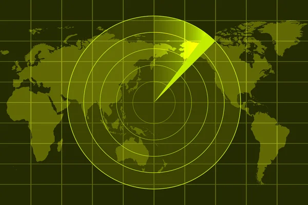
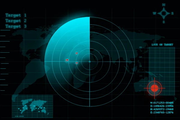
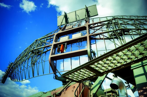
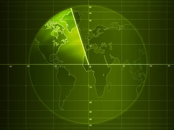
Illustration of radar
Illustration Radar — Stock Photo, Image
Radar illustration
Radar illustration — Stock Photo, Image
Radio telescope
Radio telescope — Stock Photo, Image
Technology eye scan radar
Technology eye scan radar — Stock Photo, Image
Radar screen
Radar screen — Stock Photo, Image
Radar
Radar — Stock Photo, Image
Plane on radar
Plane on radar — Stock Photo, Image
Radar screen
Radar screen — Stock Photo, Image
Green radar
Green radar — Stock Photo, Image
USS Missouri Battleship at Pearl Harbor
USS Missouri Battleship at Pearl Harbor — Stock Photo, Image
Radar systems on the mast of a large ship
Radar systems on the mast of a large ship — Stock Photo, Image
The radar
The radar — Stock Photo, Image
Military radar
Military radar — Stock Photo, Image
Radar
Radar — Stock Photo, Image
Happy young woman in hat listening to the music in vintage music
Happy young woman in hat listening to the music in vintage music — Stock Photo, Image
Radio Telescope Antenna Observatory Arrays Dishes rotating at Ni
Radio Telescope Antenna Observatory Arrays Dishes rotating at Ni — Stock Photo, Image
Satellite dish. Communiation.
Satellite dish. Communiation. — Stock Photo, Image
Radar
Radar — Stock Photo, Image
Communication radar
Communication radar — Stock Photo, Image
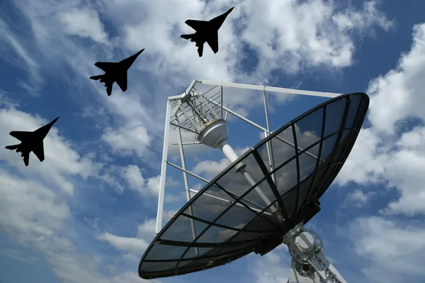
Airplanes and radar
Airplanes and radar — Stock Photo, Image
Row of radars
Row of radars — Stock Photo, Image
The study of the sky.
The study of the sky. — Stock Photo, Image
Radio Telescope view at night
Radio Telescope view at night — Stock Photo, Image
Abstract world technology background
Abstract world technology background — Stock Photo, Image
Catch speeding drivers
Catch speeding drivers — Stock Photo, Image
Modern driving devices
Modern driving devices — Stock Photo, Image
Scanning for personality identification
Scanning for personality identification — Stock Photo, Image
Car CCTV camera video recorder for driving safety on the road
Car Cctv Camera Video Recorder Driving Safety Road — Stock Photo, Image
The radar
The radar — Stock Photo, Image
Business, modern technology, internet and networking concept. 3D illustration.
Business Modern Technology Internet Networking Concept Illustration — Stock Photo, Image
Futuristic touch screen user interface HUD
Futuristic touch screen user interface HUD — Stock Photo, Image
Partial view of army soldier using laptop on couch
Partial View Army Soldier Using Laptop Couch — Stock Photo, Image
Group Portrait Of Soldiers On Field
Group Portrait Of Soldiers On Field — Stock Photo, Image
Modern Russian radar
Modern Russian radar — Stock Photo, Image
Green wave abstract
Green wave abstract — Stock Photo, Image
Tire tracks
Tire tracks — Stock Photo, Image
Mountain.
Mountain. — Stock Photo, Image
Teenage girls with tablet pc computer and headphones listening music and communicate in social networks
Teenage girls with tablet pc computer and headphones listening music and communicate in social networks — Stock Photo, Image
Graphic waves sound
Graphic waves sound — Stock Photo, Image
Wallpaper of tech concept pattern and big data structure.Net and source code.3d illustration.Abstract background of technology, science and cloud computer
Wallpaper Tech Concept Pattern Big Data Structure Net Source Code — Stock Photo, Image
Digital Space Grid
Digital Space Grid — Stock Photo, Image
Male electrician working
Male electrician working — Stock Photo, Image
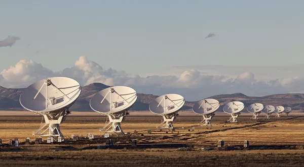
Very Large Array Radio Telescope
Very Large Array Radio Telescope — Stock Photo, Image
Array of satellite dishes
Array of satellite dishes — Stock Photo, Image
Brain
Brain — Stock Photo, Image
Satellite dish.
Satellite dish. — Stock Photo, Image
Speed camera
Speed camera — Stock Photo, Image
Shimmering blur background
Shimmering blur background — Stock Photo, Image
The famous corvin castle with cloudy sky,Hunedoara,Transylvania,Romania
The famous corvin castle with cloudy sky,Hunedoara,Transylvania,Romania — Stock Photo, Image
Saint Elizabeth, parish of Jamaica. Grayscaled map with lakes and rivers. Shape outlined against its country area. 3D rendering
Saint Elizabeth Parish Jamaica Grayscaled Map Lakes Rivers Shape Outlined — Stock Photo, Image
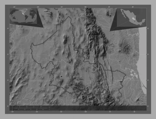
San Luis Potosi, state of Mexico. Bilevel elevation map with lakes and rivers. Corner auxiliary location maps
San Luis Potosi State Mexico Bilevel Elevation Map Lakes Rivers — Stock Photo, Image
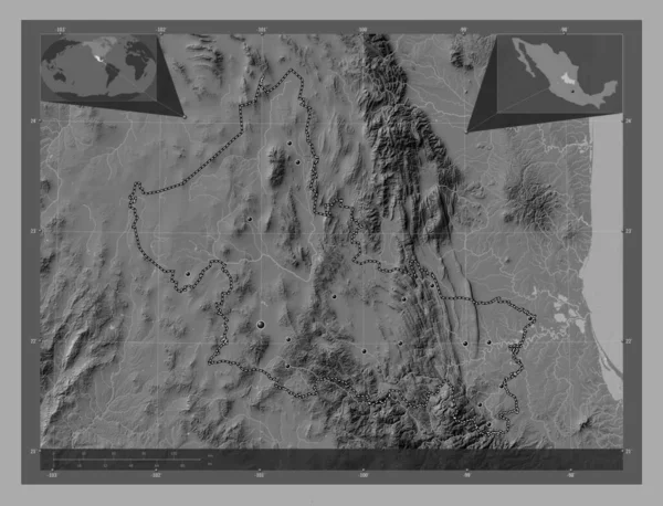
San Luis Potosi, state of Mexico. Bilevel elevation map with lakes and rivers. Locations of major cities of the region. Corner auxiliary location maps
San Luis Potosi State Mexico Bilevel Elevation Map Lakes Rivers — Stock Photo, Image
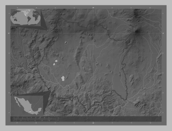
Morelos, state of Mexico. Grayscale elevation map with lakes and rivers. Corner auxiliary location maps
Morelos State Mexico Grayscale Elevation Map Lakes Rivers Corner Auxiliary — Stock Photo, Image
Maputo, province of Mozambique. Grayscaled map with lakes and rivers. Shape outlined against its country area. 3D rendering
Maputo Province Mozambique Grayscaled Map Lakes Rivers Shape Outlined Its — Stock Photo, Image
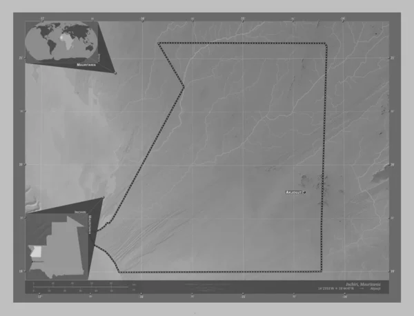
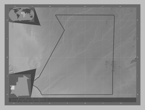
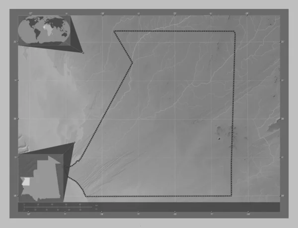
Inchiri, region of Mauritania. Grayscale elevation map with lakes and rivers. Locations and names of major cities of the region. Corner auxiliary location maps
Inchiri Region Mauritania Grayscale Elevation Map Lakes Rivers Locations Names — Stock Photo, Image
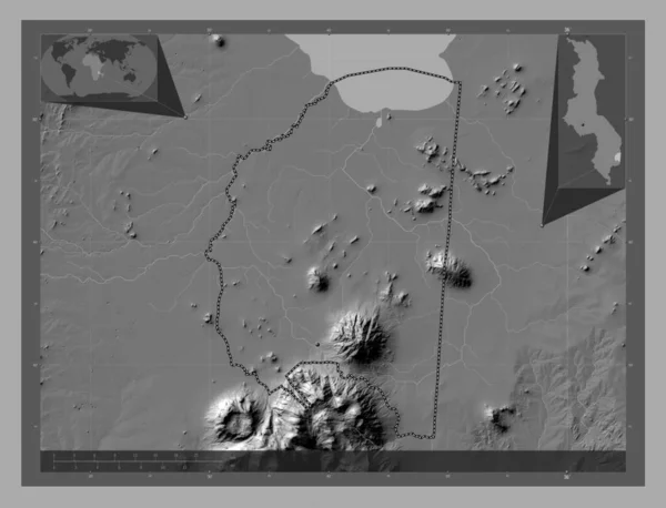
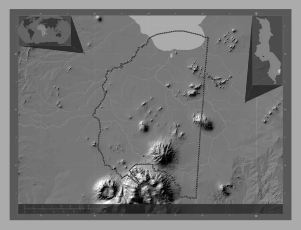
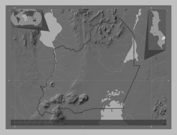
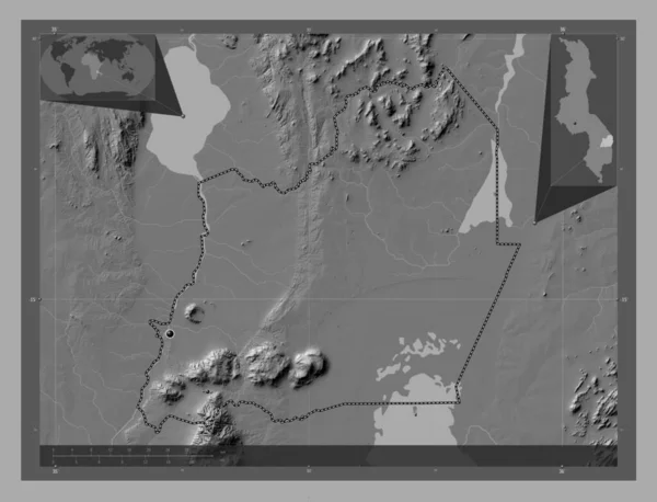
Phalombe, district of Malawi. Bilevel elevation map with lakes and rivers. Corner auxiliary location maps
Phalombe District Malawi Bilevel Elevation Map Lakes Rivers Corner Auxiliary — Stock Photo, Image
Phalombe, district of Malawi. Bilevel elevation map with lakes and rivers. Locations of major cities of the region. Corner auxiliary location maps
Phalombe District Malawi Bilevel Elevation Map Lakes Rivers Locations Major — Stock Photo, Image
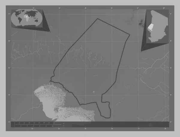
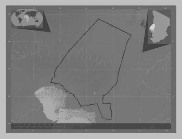
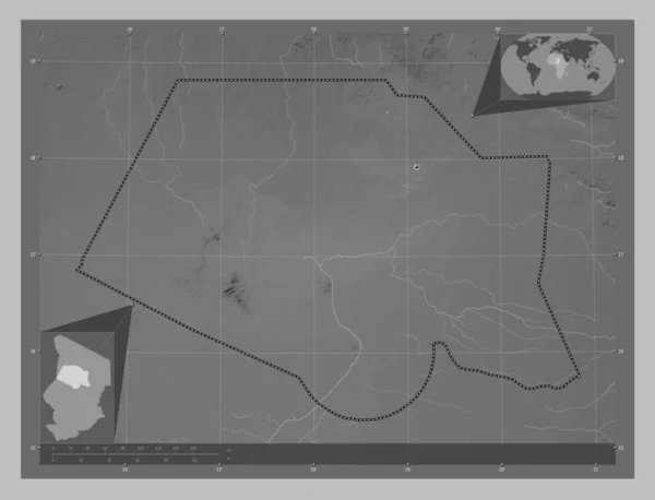
Kanem, region of Chad. Grayscale elevation map with lakes and rivers. Corner auxiliary location maps
Kanem Region Chad Grayscale Elevation Map Lakes Rivers Corner Auxiliary — Stock Photo, Image
Black-White Round Grunge Overlay Element. Circle Pattern, Logo, Badge, Label, Icon. Abstract Distress Texture Backdrop. Dirty Vintage Monochrome Vector Illustration Background. Brush Strokes Template
Black White Grunge Overlay Element Circle Pattern Logo Badge Label — Stock Photo, Image
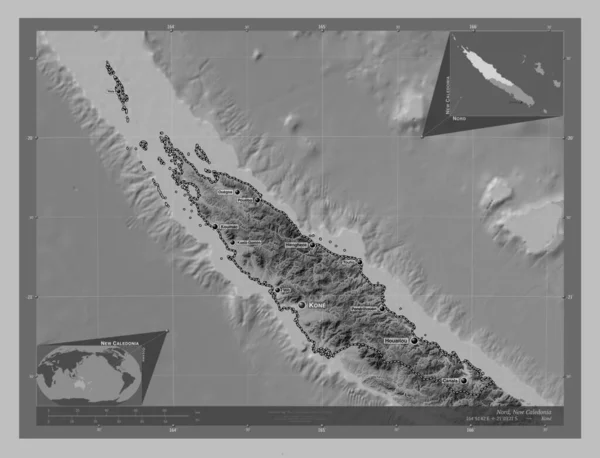
Nord, province of New Caledonia. Grayscale elevation map with lakes and rivers. Locations and names of major cities of the region. Corner auxiliary location maps
Nord Province New Caledonia Grayscale Elevation Map Lakes Rivers Locations — Stock Photo, Image
Kralovehradecky, region of Czech Republic. Bilevel elevation map with lakes and rivers. Corner auxiliary location maps
Kralovehradecky Region Czech Republic Bilevel Elevation Map Lakes Rivers Corner — Stock Photo, Image
Kanem, region of Chad. Grayscale elevation map with lakes and rivers. Locations of major cities of the region. Corner auxiliary location maps
Kanem Region Chad Grayscale Elevation Map Lakes Rivers Locations Major — Stock Photo, Image
Eastern, region of Ghana. Bilevel elevation map with lakes and rivers. Locations of major cities of the region. Corner auxiliary location maps
Eastern Region Ghana Bilevel Elevation Map Lakes Rivers Locations Major — Stock Photo, Image
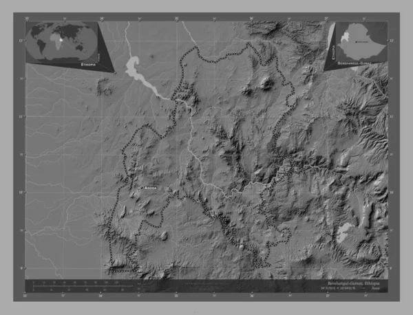
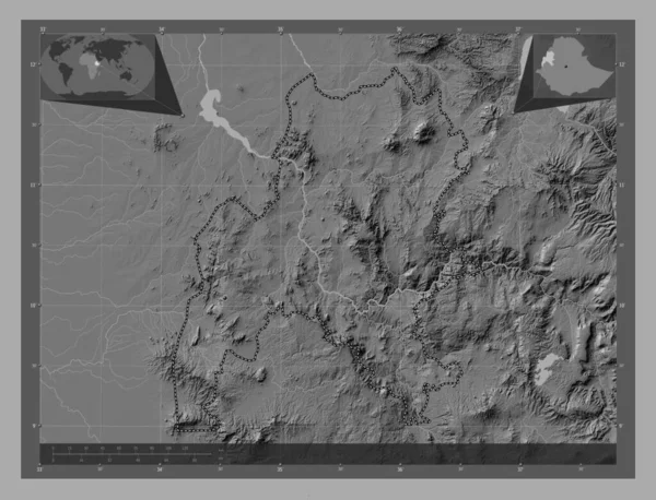
Benshangul-Gumaz, state of Ethiopia. Bilevel elevation map with lakes and rivers. Locations and names of major cities of the region. Corner auxiliary location maps
Benshangul Gumaz State Ethiopia Bilevel Elevation Map Lakes Rivers Locations — Stock Photo, Image
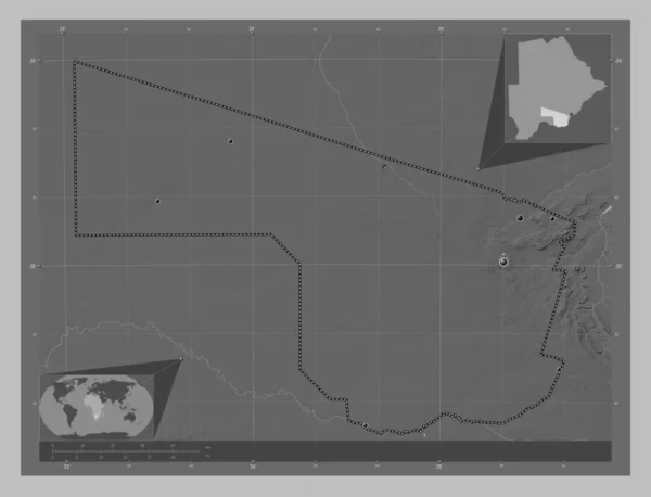
Area of Southern, district of Botswana, isolated on a solid background in a georeferenced bounding box. Labels. Bilevel elevation map. 3D rendering
Area Southern District Botswana Isolated Solid Background Georeferenced Bounding Box — Stock Photo, Image
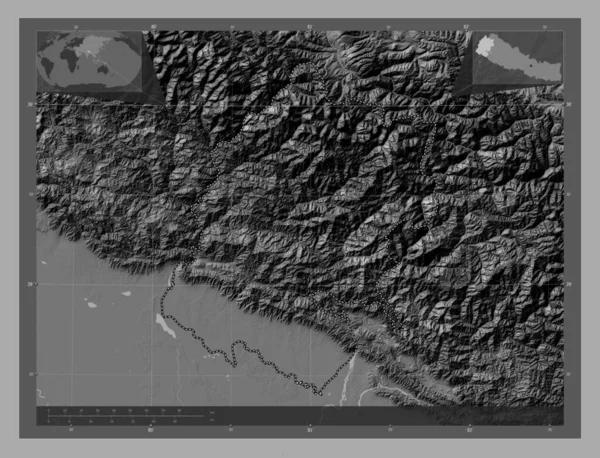
Far-Western, development region of Nepal. Bilevel elevation map with lakes and rivers. Corner auxiliary location maps
Far Western Development Region Nepal Bilevel Elevation Map Lakes Rivers — Stock Photo, Image
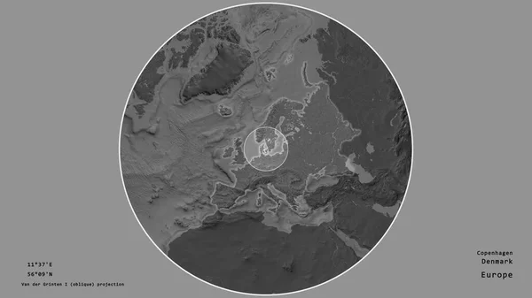
Area of Denmark marked with a circle on the large-scale map of the continent isolated against desaturated background. Capital georeferences and names given. Bilevel elevation map
Area Denmark Marked Circle Large Scale Map Continent Isolated Desaturated — Stock Photo, Image
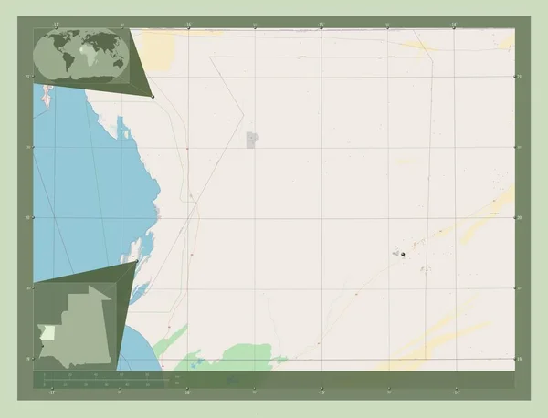
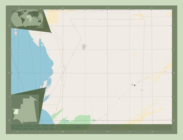
Inchiri, region of Mauritania. Open Street Map. Locations of major cities of the region. Corner auxiliary location maps
Inchiri Region Mauritania Open Street Map Locations Major Cities Region — Stock Photo, Image
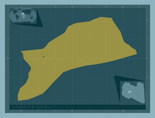
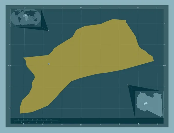
Sabha, district of Libya. Solid color shape. Corner auxiliary location maps
Sabha District Libya Solid Color Shape Corner Auxiliary Location Maps — Stock Photo, Image
Sabha, district of Libya. Solid color shape. Locations of major cities of the region. Corner auxiliary location maps
Sabha District Libya Solid Color Shape Locations Major Cities Region — Stock Photo, Image
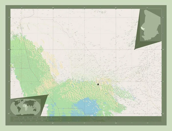
Lac, region of Chad. Open Street Map. Corner auxiliary location maps
Lac Region Chad Open Street Map Corner Auxiliary Location Maps — Stock Photo, Image
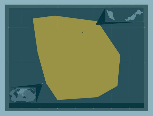
Putrajaya, federal territory of Malaysia. Solid color shape. Corner auxiliary location maps
Putrajaya Federal Territory Malaysia Solid Color Shape Corner Auxiliary Location — Stock Photo, Image
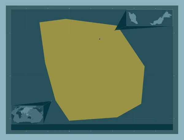
Putrajaya, federal territory of Malaysia. Solid color shape. Locations of major cities of the region. Corner auxiliary location maps
Putrajaya Federal Territory Malaysia Solid Color Shape Locations Major Cities — Stock Photo, Image
Inchiri, region of Mauritania. Grayscale elevation map with lakes and rivers. Corner auxiliary location maps
Inchiri Region Mauritania Grayscale Elevation Map Lakes Rivers Corner Auxiliary — Stock Photo, Image
Inchiri, region of Mauritania. Grayscale elevation map with lakes and rivers. Locations of major cities of the region. Corner auxiliary location maps
Inchiri Region Mauritania Grayscale Elevation Map Lakes Rivers Locations Major — Stock Photo, Image
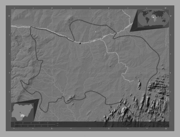
Benue, state of Nigeria. Bilevel elevation map with lakes and rivers. Corner auxiliary location maps
Benue State Nigeria Bilevel Elevation Map Lakes Rivers Corner Auxiliary — Stock Photo, Image
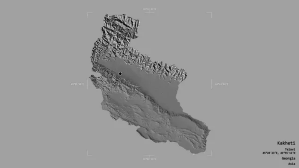
Area of Kakheti, region of Georgia, isolated on a solid background in a georeferenced bounding box. Labels. Bilevel elevation map. 3D rendering
Area Kakheti Region Georgia Isolated Solid Background Georeferenced Bounding Box — Stock Photo, Image
Borkou, region of Chad. Grayscale elevation map with lakes and rivers. Locations of major cities of the region. Corner auxiliary location maps
Borkou Region Chad Grayscale Elevation Map Lakes Rivers Locations Major — Stock Photo, Image
Borkou, region of Chad. Grayscale elevation map with lakes and rivers. Corner auxiliary location maps
Borkou Region Chad Grayscale Elevation Map Lakes Rivers Corner Auxiliary — Stock Photo, Image
Takev, province of Cambodia. Grayscale elevation map with lakes and rivers. Corner auxiliary location maps
Takev Province Cambodia Grayscale Elevation Map Lakes Rivers Corner Auxiliary — Stock Photo, Image
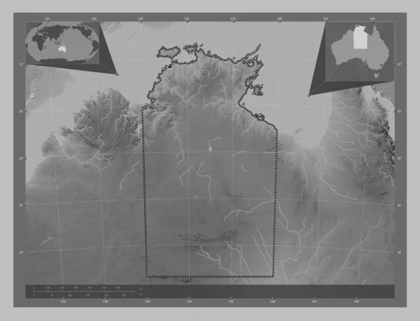
Northern Territory, territory of Australia. Grayscale elevation map with lakes and rivers. Corner auxiliary location maps
Northern Territory Territory Australia Grayscale Elevation Map Lakes Rivers Corner — Stock Photo, Image
Samana, province of Dominican Republic. Grayscaled map with lakes and rivers. Shape outlined against its country area. 3D rendering
Samana Province Dominican Republic Grayscaled Map Lakes Rivers Shape Outlined — Stock Photo, Image
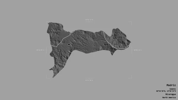
Area of Madriz, department of Nicaragua, isolated on a solid background in a georeferenced bounding box. Labels. Bilevel elevation map. 3D rendering
Area Madriz Department Nicaragua Isolated Solid Background Georeferenced Bounding Box — Stock Photo, Image
Eastern, region of Ghana. Bilevel elevation map with lakes and rivers. Corner auxiliary location maps
Eastern Region Ghana Bilevel Elevation Map Lakes Rivers Corner Auxiliary — Stock Photo, Image
Benshangul-Gumaz, state of Ethiopia. Bilevel elevation map with lakes and rivers. Locations of major cities of the region. Corner auxiliary location maps
Benshangul Gumaz State Ethiopia Bilevel Elevation Map Lakes Rivers Locations — Stock Photo, Image
Southern, district of Botswana. Grayscale elevation map with lakes and rivers. Locations of major cities of the region. Corner auxiliary location maps
Southern District Botswana Grayscale Elevation Map Lakes Rivers Locations Major — Stock Photo, Image
Holguin, province of Cuba. Grayscale elevation map with lakes and rivers. Locations of major cities of the region. Corner auxiliary location maps
Holguin Province Cuba Grayscale Elevation Map Lakes Rivers Locations Major — Stock Photo, Image
Comayagua, department of Honduras. Grayscale elevation map with lakes and rivers. Locations of major cities of the region. Corner auxiliary location maps
Comayagua Department Honduras Grayscale Elevation Map Lakes Rivers Locations Major — Stock Photo, Image
Est, region of Burkina Faso. Grayscale elevation map with lakes and rivers. Locations of major cities of the region. Corner auxiliary location maps
Est Region Burkina Faso Grayscale Elevation Map Lakes Rivers Locations — Stock Photo, Image
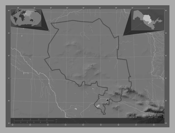
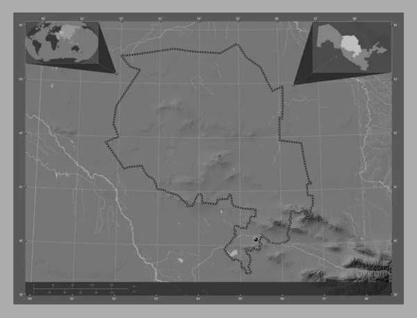
Navoi, region of Uzbekistan. Bilevel elevation map with lakes and rivers. Corner auxiliary location maps
Navoi Region Uzbekistan Bilevel Elevation Map Lakes Rivers Corner Auxiliary — Stock Photo, Image
Navoi, region of Uzbekistan. Bilevel elevation map with lakes and rivers. Corner auxiliary location maps
Navoi Region Uzbekistan Bilevel Elevation Map Lakes Rivers Corner Auxiliary — Stock Photo, Image
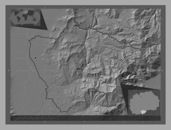
Novatsi, municipality of Macedonia. Bilevel elevation map with lakes and rivers. Locations of major cities of the region. Corner auxiliary location maps
Novatsi Municipality Macedonia Bilevel Elevation Map Lakes Rivers Locations Major — Stock Photo, Image
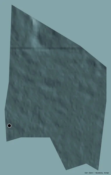
Shape of Cair, municipality of Macedonia, with its capital isolated on a solid color background. Colored elevation map. 3D rendering
Shape Cair Municipality Macedonia Its Capital Isolated Solid Color Background — Stock Photo, Image
Machinga, district of Malawi. Grayscale elevation map with lakes and rivers. Corner auxiliary location maps
Machinga District Malawi Grayscale Elevation Map Lakes Rivers Corner Auxiliary — Stock Photo, Image
Inchiri, region of Mauritania. Open Street Map. Corner auxiliary location maps
Inchiri Region Mauritania Open Street Map Corner Auxiliary Location Maps — Stock Photo, Image
Wadi Fira, region of Chad. Grayscale elevation map with lakes and rivers. Locations of major cities of the region. Corner auxiliary location maps
Wadi Fira Region Chad Grayscale Elevation Map Lakes Rivers Locations — Stock Photo, Image
Black-White Round Grunge Overlay Element. Circle Pattern, Logo, Badge, Label, Icon. Abstract Distress Texture Backdrop. Dirty Vintage Monochrome Vector Illustration Background. Brush Strokes Template
Black White Grunge Overlay Element Circle Pattern Logo Badge Label — Stock Photo, Image
Bordj Bou Arreridj, province of Algeria. Grayscale elevation map with lakes and rivers. Corner auxiliary location maps
Bordj Bou Arreridj Province Algeria Grayscale Elevation Map Lakes Rivers — Stock Photo, Image
Grunge overlay layer. Abstract black and white vector background
Grunge Overlay Layer Abstract Black White Vector Background — Stock Photo, Image
Machinga, district of Malawi. Bilevel elevation map with lakes and rivers. Locations of major cities of the region. Corner auxiliary location maps
Machinga District Malawi Bilevel Elevation Map Lakes Rivers Locations Major — Stock Photo, Image

Find the Perfect Radar Image for Your Project

Are you in the market for high-quality radar images? Look no further than our extensive collection of stock images. Our library features a wide variety of radar images that you can use for any project, from blogs to magazines to business presentations. Whether you need images that convey excitement and motion or images that are more calming and focused, we have what you’re looking for.

The Types of Radar Images Available

Our collection includes a variety of radar images that vary in style and focus. You can find images of weather radar maps that show current storms and weather patterns, as well as images of radar displays used in aviation and military settings. Additionally, we have images of satellite radar scans, which offer an aerial view of different areas of the earth. Some of our images are black and white, while others are in color, so you can choose what best fits the tone of your project.

How to Use Radar Images Effectively

When choosing radar images for your project, it’s important to consider how you plan to use them. Some images may be better suited for certain types of projects than others. For example, an image of a radar map of current weather patterns would work well for a news article about an impending storm, but might not be as effective for a marketing presentation. Consider the tone and objective of your project, and choose images accordingly.

Another important factor to consider when choosing radar images is the quality. High-resolution images that are clear and well-lit will be more effective than grainy or blurry images. Additionally, images that are relevant to the specific topic of your project will make a bigger impact than generic or unrelated images.

Benefits of Using Our Radar Images

By using our stock images, you can save time and money that you would otherwise spend creating or sourcing your own images. You can also take advantage of the expertise of our skilled photographers, who have taken the time to capture unique and compelling shots of radar equipment and displays. Our images offer a professional and visually appealing touch to any project, and can help you to grab your audience’s attention and keep it.

Get Started with Our Radar Images Today

Whether you’re working on a magazine article about weather patterns, a business presentation about aviation technology, or a blog post about the latest radar equipment, we have the perfect stock images for your needs. Browse our collection today and see for yourself why our radar images are the best choice for your next project.