Stroma Stock Photos

100,000 Stroma pictures are available under a royalty-free license

  • Best Match
  • Fresh
  • Popular
1-100 of 100,000
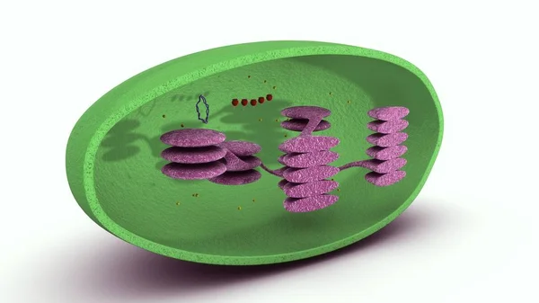
Chloroplast 3d illustration
Chloroplast 3d illustration — Stock Photo, Image
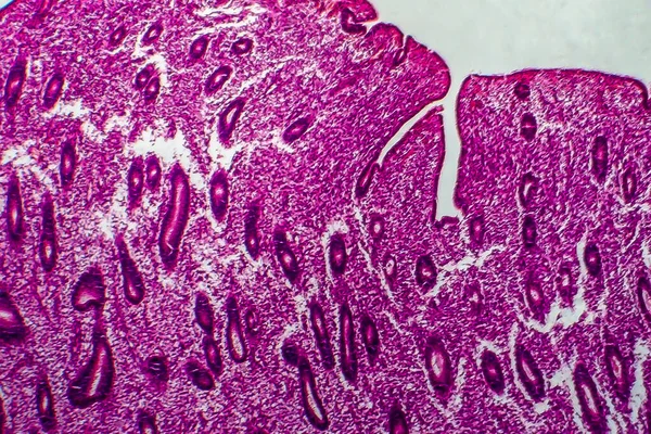
Endometrial hyperplasia, light micrograph, photo under microscope
Endometrial Hyperplasia Light Micrograph Photo Microscope — Stock Photo, Image
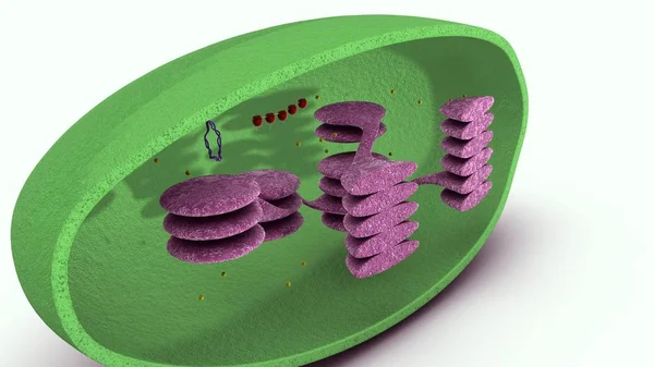
Chloroplast 3d illustration
Chloroplast 3d illustration — Stock Photo, Image
Shape of odz, voivodeship of Poland, with its capital isolated on a solid color background. Colored elevation map. 3D rendering
Shape Odz Voivodeship Poland Its Capital Isolated Solid Color Background — Stock Photo, Image
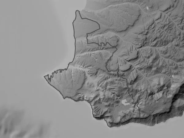
Hovedstaden, region of Denmark. Grayscale elevation map with lakes and rivers
Hovedstaden Region Denmark Grayscale Elevation Map Lakes Rivers — Stock Photo, Image
Area of Guantanamo, province of Cuba, isolated on a solid background in a georeferenced bounding box. Labels. Topographic relief map. 3D rendering
Area Guantanamo Province Cuba Isolated Solid Background Georeferenced Bounding Box — Stock Photo, Image
Sevastopol', autonomous republic of Ukraine. Grayscale elevation map with lakes and rivers
Sevastopol Autonomous Republic Ukraine Grayscale Elevation Map Lakes Rivers — Stock Photo, Image
Area of Wanica, district of Suriname, isolated on a solid background in a georeferenced bounding box. Labels. Colored elevation map. 3D rendering
Area Wanica District Suriname Isolated Solid Background Georeferenced Bounding Box — Stock Photo, Image
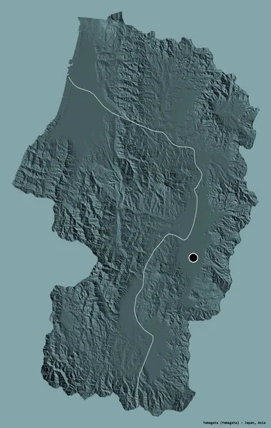
Shape of Yamagata, prefecture of Japan, with its capital isolated on a solid color background. Colored elevation map. 3D rendering
Shape Yamagata Prefecture Japan Its Capital Isolated Solid Color Background — Stock Photo, Image
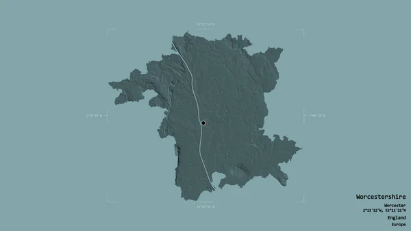
Area of Worcestershire, administrative county of England, isolated on a solid background in a georeferenced bounding box. Labels. Colored elevation map. 3D rendering
Area Worcestershire Administrative County England Isolated Solid Background Georeferenced Bounding — Stock Photo, Image
Area of Bac Ninh, province of Vietnam, isolated on a solid background in a georeferenced bounding box. Labels. Colored elevation map. 3D rendering
Area Bac Ninh Province Vietnam Isolated Solid Background Georeferenced Bounding — Stock Photo, Image
Extended area of Chad. Bilevel elevation map. 3D rendering
Extended Area Chad Bilevel Elevation Map Rendering — Stock Photo, Image
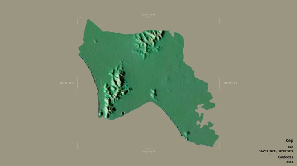
Area of Kep, province of Cambodia, isolated on a solid background in a georeferenced bounding box. Labels. Topographic relief map. 3D rendering
Area Kep Province Cambodia Isolated Solid Background Georeferenced Bounding Box — Stock Photo, Image
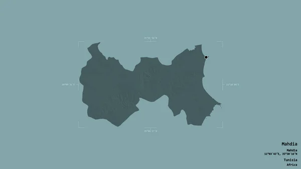
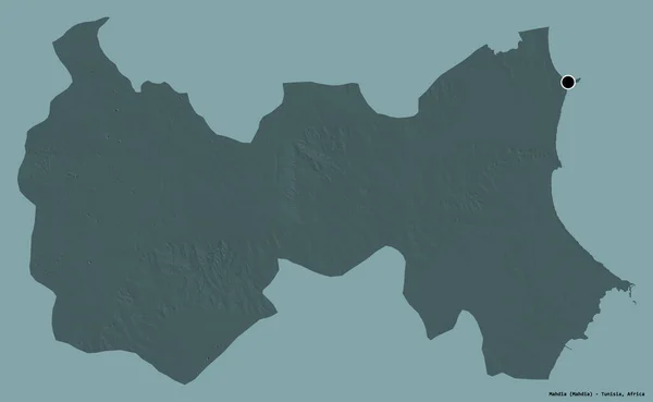
Area of Mahdia, governorate of Tunisia, isolated on a solid background in a georeferenced bounding box. Labels. Colored elevation map. 3D rendering
Area Mahdia Governorate Tunisia Isolated Solid Background Georeferenced Bounding Box — Stock Photo, Image
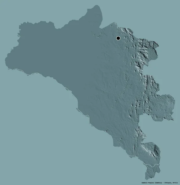
Shape of Gambela Peoples, state of Ethiopia, with its capital isolated on a solid color background. Colored elevation map. 3D rendering
Shape Gambela Peoples State Ethiopia Its Capital Isolated Solid Color — Stock Photo, Image
Area of Nzerekore, region of Guinea, isolated on a solid background in a georeferenced bounding box. Labels. Colored elevation map. 3D rendering
Area Nzerekore Region Guinea Isolated Solid Background Georeferenced Bounding Box — Stock Photo, Image
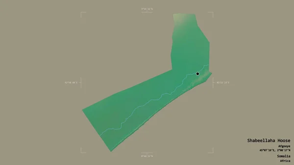
Area of Shabeellaha Hoose, region of Somalia, isolated on a solid background in a georeferenced bounding box. Labels. Topographic relief map. 3D rendering
Area Shabeellaha Hoose Region Somalia Isolated Solid Background Georeferenced Bounding — Stock Photo, Image
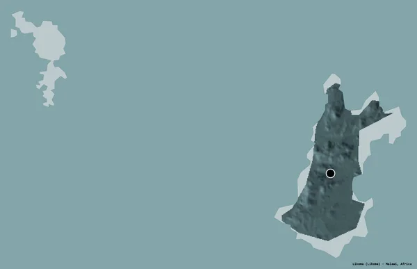
Shape of Likoma, district of Malawi, with its capital isolated on a solid color background. Colored elevation map. 3D rendering
Shape Likoma District Malawi Its Capital Isolated Solid Color Background — Stock Photo, Image
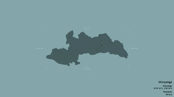
Area of Shinyanga, region of Tanzania, isolated on a solid background in a georeferenced bounding box. Labels. Colored elevation map. 3D rendering
Area Shinyanga Region Tanzania Isolated Solid Background Georeferenced Bounding Box — Stock Photo, Image
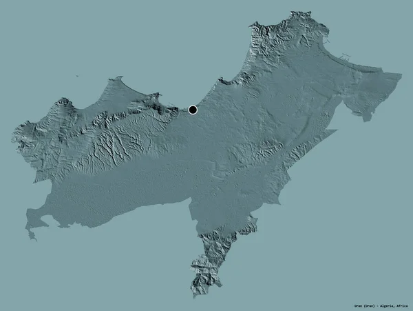
Shape of Oran, province of Algeria, with its capital isolated on a solid color background. Colored elevation map. 3D rendering
Shape Oran Province Algeria Its Capital Isolated Solid Color Background — Stock Photo, Image
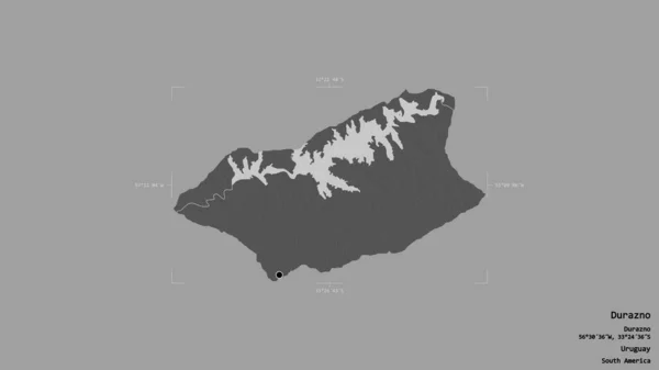
Area of Durazno, department of Uruguay, isolated on a solid background in a georeferenced bounding box. Labels. Bilevel elevation map. 3D rendering
Area Durazno Department Uruguay Isolated Solid Background Georeferenced Bounding Box — Stock Photo, Image
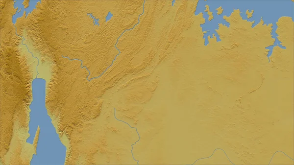
Burundi. Close-up perspective of the country - no outline. color physical map
Burundi Close Perspective Country Outline Color Physical Map — Stock Photo, Image
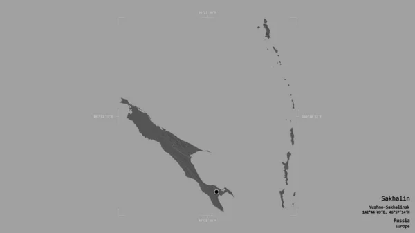
Area of Sakhalin, region of Russia, isolated on a solid background in a georeferenced bounding box. Labels. Bilevel elevation map. 3D rendering
Area Sakhalin Region Russia Isolated Solid Background Georeferenced Bounding Box — Stock Photo, Image
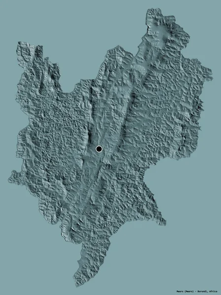
Shape of Mwaro, province of Burundi, with its capital isolated on a solid color background. Colored elevation map. 3D rendering
Shape Mwaro Province Burundi Its Capital Isolated Solid Color Background — Stock Photo, Image
Area of Mahdia, governorate of Tunisia, isolated on a solid background in a georeferenced bounding box. Labels. Bilevel elevation map. 3D rendering
Area Mahdia Governorate Tunisia Isolated Solid Background Georeferenced Bounding Box — Stock Photo, Image
Area of Soroca, district of Moldova, isolated on a solid background in a georeferenced bounding box. Labels. Topographic relief map. 3D rendering
Area Soroca District Moldova Isolated Solid Background Georeferenced Bounding Box — Stock Photo, Image
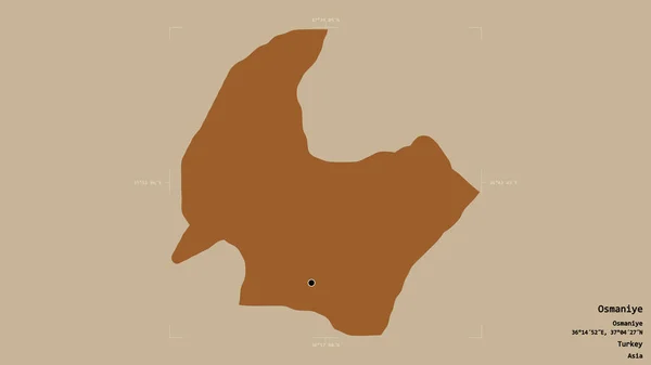
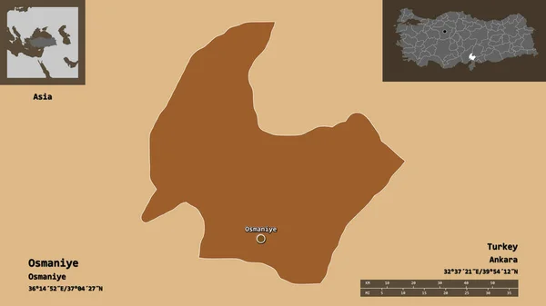
Area of Osmaniye, province of Turkey, isolated on a solid background in a georeferenced bounding box. Labels. Composition of patterned textures. 3D rendering
Area Osmaniye Province Turkey Isolated Solid Background Georeferenced Bounding Box — Stock Photo, Image
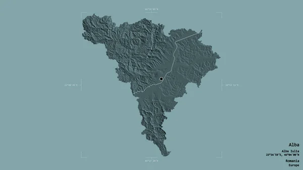
Area of Alba, county of Romania, isolated on a solid background in a georeferenced bounding box. Labels. Colored elevation map. 3D rendering
Area Alba County Romania Isolated Solid Background Georeferenced Bounding Box — Stock Photo, Image
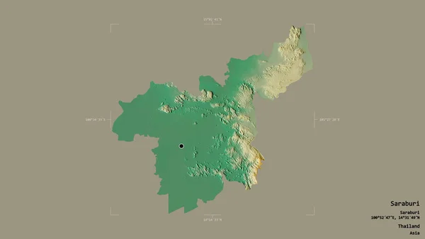
Area of Saraburi, province of Thailand, isolated on a solid background in a georeferenced bounding box. Labels. Topographic relief map. 3D rendering
Area Saraburi Province Thailand Isolated Solid Background Georeferenced Bounding Box — Stock Photo, Image
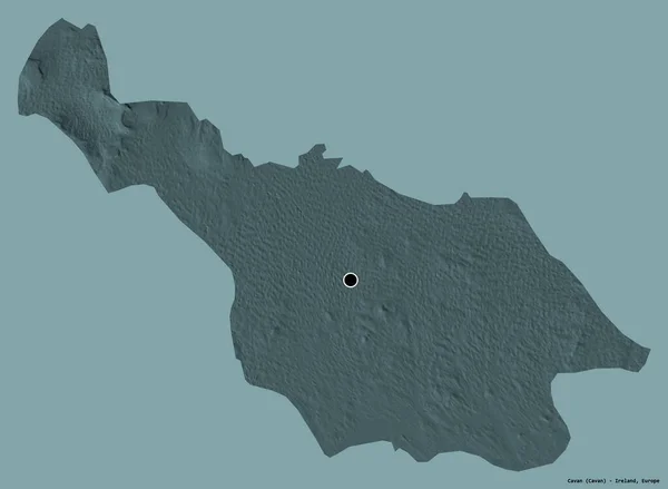
Shape of Cavan, county of Ireland, with its capital isolated on a solid color background. Colored elevation map. 3D rendering
Shape Cavan County Ireland Its Capital Isolated Solid Color Background — Stock Photo, Image
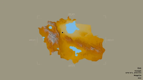
Area of Uvs, province of Mongolia, isolated on a solid background in a georeferenced bounding box. Labels. Topographic relief map. 3D rendering
Area Uvs Province Mongolia Isolated Solid Background Georeferenced Bounding Box — Stock Photo, Image
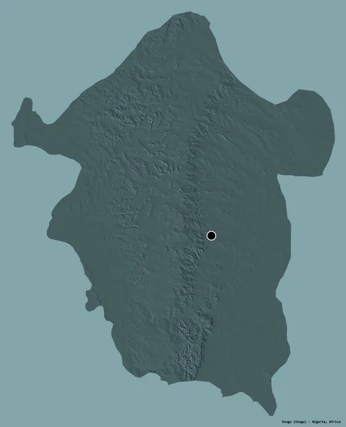
Shape of Enugu, state of Nigeria, with its capital isolated on a solid color background. Colored elevation map. 3D rendering
Shape Enugu State Nigeria Its Capital Isolated Solid Color Background — Stock Photo, Image
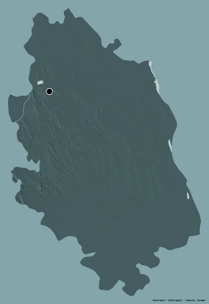
Shape of Stavropol', territory of Russia, with its capital isolated on a solid color background. Colored elevation map. 3D rendering
Shape Stavropol Territory Russia Its Capital Isolated Solid Color Background — Stock Photo, Image
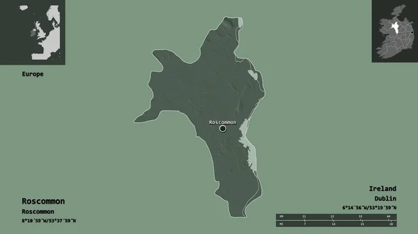
Shape of Roscommon, county of Ireland, and its capital. Distance scale, previews and labels. Colored elevation map. 3D rendering
Shape Roscommon County Ireland Its Capital Distance Scale Previews Labels — Stock Photo, Image
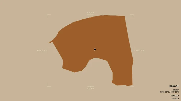
Area of Bakool, region of Somalia, isolated on a solid background in a georeferenced bounding box. Labels. Composition of patterned textures. 3D rendering
Area Bakool Region Somalia Isolated Solid Background Georeferenced Bounding Box — Stock Photo, Image
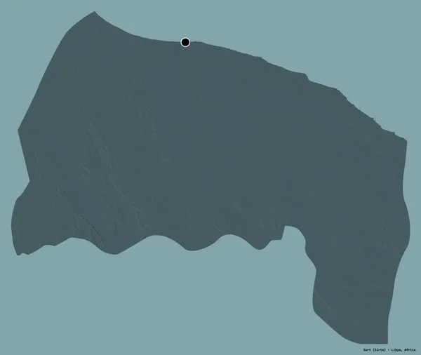
Shape of Surt, district of Libya, with its capital isolated on a solid color background. Colored elevation map. 3D rendering
Shape Surt District Libya Its Capital Isolated Solid Color Background — Stock Photo, Image
Area of New Brunswick, province of Canada, isolated on a solid background in a georeferenced bounding box. Labels. Bilevel elevation map. 3D rendering
Area New Brunswick Province Canada Isolated Solid Background Georeferenced Bounding — Stock Photo, Image
Area of Bedford, administrative county of England, isolated on a solid background in a georeferenced bounding box. Labels. Colored elevation map. 3D rendering
Area Bedford Administrative County England Isolated Solid Background Georeferenced Bounding — Stock Photo, Image
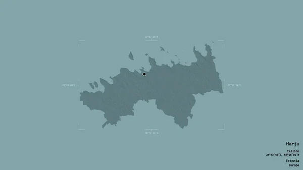
Area of Harju, county of Estonia, isolated on a solid background in a georeferenced bounding box. Labels. Colored elevation map. 3D rendering
Area Harju County Estonia Isolated Solid Background Georeferenced Bounding Box — Stock Photo, Image
Area of Stavropol', territory of Russia, isolated on a solid background in a georeferenced bounding box. Labels. Topographic relief map. 3D rendering
Area Stavropol Territory Russia Isolated Solid Background Georeferenced Bounding Box — Stock Photo, Image
Area of Bucharest, municipality of Romania, isolated on a solid background in a georeferenced bounding box. Labels. Colored elevation map. 3D rendering
Area Bucharest Municipality Romania Isolated Solid Background Georeferenced Bounding Box — Stock Photo, Image
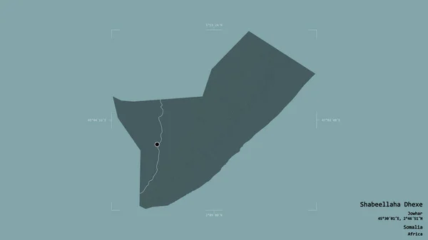
Area of Shabeellaha Dhexe, region of Somalia, isolated on a solid background in a georeferenced bounding box. Labels. Colored elevation map. 3D rendering
Area Shabeellaha Dhexe Region Somalia Isolated Solid Background Georeferenced Bounding — Stock Photo, Image
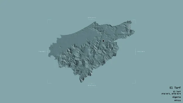
Area of El Tarf, province of Algeria, isolated on a solid background in a georeferenced bounding box. Labels. Colored elevation map. 3D rendering
Area Tarf Province Algeria Isolated Solid Background Georeferenced Bounding Box — Stock Photo, Image
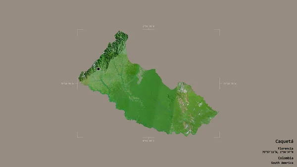
Area of Caqueta, intendancy of Colombia, isolated on a solid background in a georeferenced bounding box. Labels. Satellite imagery. 3D rendering
Area Caqueta Intendancy Colombia Isolated Solid Background Georeferenced Bounding Box — Stock Photo, Image
Area of Sukhothai, province of Thailand, isolated on a solid background in a georeferenced bounding box. Labels. Colored elevation map. 3D rendering
Area Sukhothai Province Thailand Isolated Solid Background Georeferenced Bounding Box — Stock Photo, Image
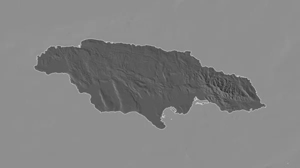
Outlined shape of the Jamaica area. Bilevel elevation map with surface waters. 3D rendering
Outlined Shape Jamaica Area Bilevel Elevation Map Surface Waters Rendering — Stock Photo, Image
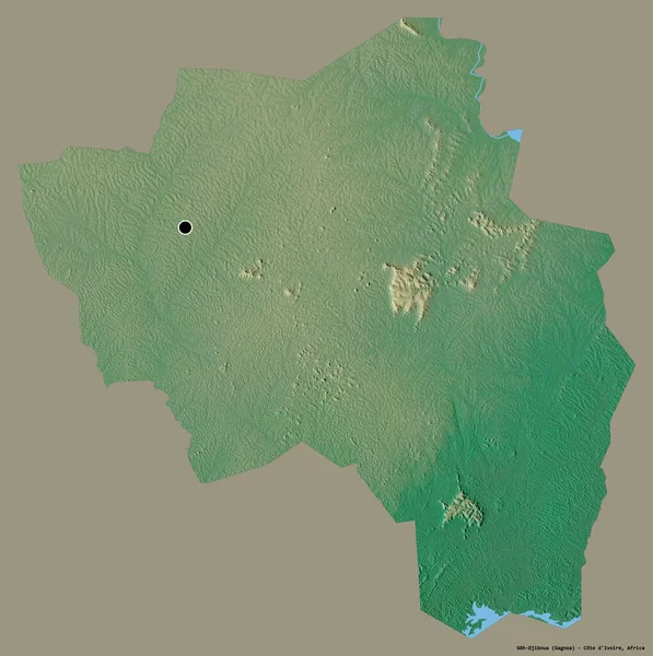
Shape of Goh-Djiboua, district of Cote d'Ivoire, with its capital isolated on a solid color background. Topographic relief map. 3D rendering
Shape Goh Djiboua District Cote Ivoire Its Capital Isolated Solid — Stock Photo, Image
Adiyaman, province of Turkey. Sentinel-2 satellite imagery. Shape isolated on solid background with informative overlays. Contains modified Copernicus Sentinel data
Adiyaman Province Turkey Sentinel Satellite Imagery Shape Isolated Solid Background — Stock Photo, Image
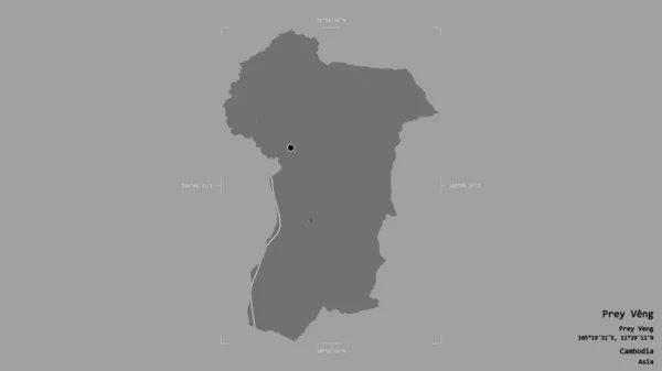
Area of Prey Veng, province of Cambodia, isolated on a solid background in a georeferenced bounding box. Labels. Bilevel elevation map. 3D rendering
Area Prey Veng Province Cambodia Isolated Solid Background Georeferenced Bounding — Stock Photo, Image
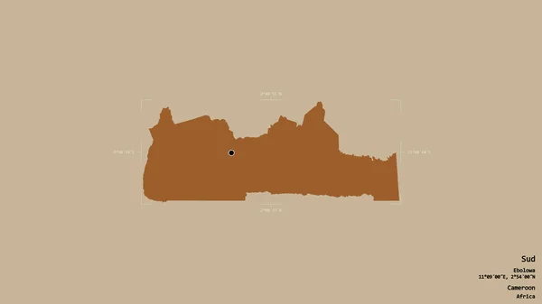
Area of Sud, region of Cameroon, isolated on a solid background in a georeferenced bounding box. Labels. Composition of patterned textures. 3D rendering
Area Sud Region Cameroon Isolated Solid Background Georeferenced Bounding Box — Stock Photo, Image
Area of Hessen, state of Germany, isolated on a solid background in a georeferenced bounding box. Labels. Bilevel elevation map. 3D rendering
Area Hessen State Germany Isolated Solid Background Georeferenced Bounding Box — Stock Photo, Image
Area of Leiria, district of Portugal, isolated on a solid background in a georeferenced bounding box. Labels. Colored elevation map. 3D rendering
Area Leiria District Portugal Isolated Solid Background Georeferenced Bounding Box — Stock Photo, Image
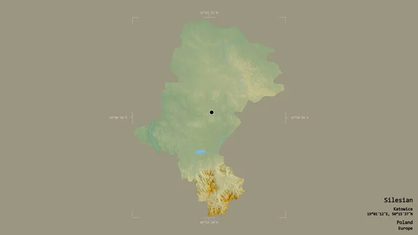
Area of Silesian, voivodeship of Poland, isolated on a solid background in a georeferenced bounding box. Labels. Topographic relief map. 3D rendering
Area Silesian Voivodeship Poland Isolated Solid Background Georeferenced Bounding Box — Stock Photo, Image
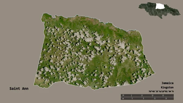
Shape of Saint Ann, parish of Jamaica, with its capital isolated on solid background. Distance scale, region preview and labels. Satellite imagery. 3D rendering
Shape Saint Ann Parish Jamaica Its Capital Isolated Solid Background — Stock Photo, Image
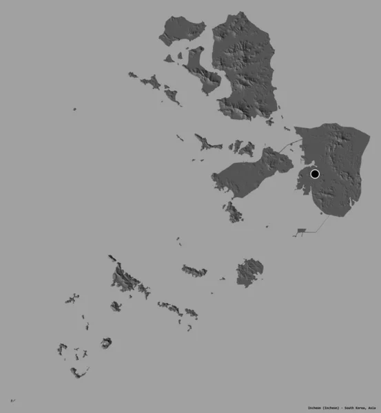
Shape of Incheon, metropolitan city of South Korea, with its capital isolated on a solid color background. Bilevel elevation map. 3D rendering
Shape Incheon Metropolitan City South Korea Its Capital Isolated Solid — Stock Photo, Image
Malatya, province of Turkey. Sentinel-2 satellite imagery. Shape isolated on solid background with informative overlays. Contains modified Copernicus Sentinel data
Malatya Province Turkey Sentinel Satellite Imagery Shape Isolated Solid Background — Stock Photo, Image
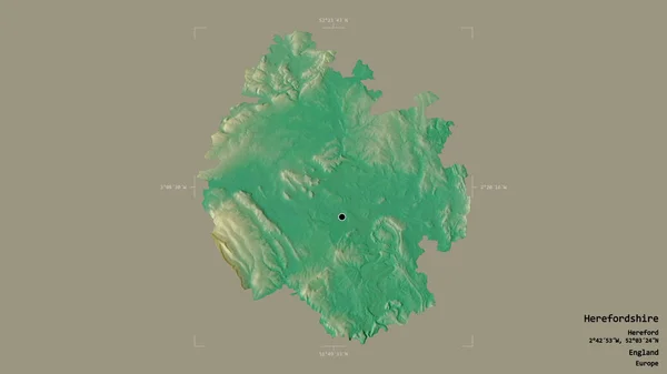
Area of Herefordshire, unitary authority of England, isolated on a solid background in a georeferenced bounding box. Labels. Topographic relief map. 3D rendering
Area Herefordshire Unitary Authority England Isolated Solid Background Georeferenced Bounding — Stock Photo, Image
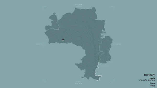
Area of Northern, region of Ghana, isolated on a solid background in a georeferenced bounding box. Labels. Colored elevation map. 3D rendering
Area Northern Region Ghana Isolated Solid Background Georeferenced Bounding Box — Stock Photo, Image
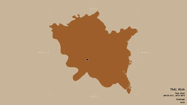
Area of Thai Binh, province of Vietnam, isolated on a solid background in a georeferenced bounding box. Labels. Composition of patterned textures. 3D rendering
Area Thai Binh Province Vietnam Isolated Solid Background Georeferenced Bounding — Stock Photo, Image
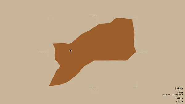
Area of Sabha, district of Libya, isolated on a solid background in a georeferenced bounding box. Labels. Composition of patterned textures. 3D rendering
Area Sabha District Libya Isolated Solid Background Georeferenced Bounding Box — Stock Photo, Image
New Hampshire, state of United States. Grayscaled map with lakes and rivers. Shape outlined against its country area. 3D rendering
New Hampshire State United States Grayscaled Map Lakes Rivers Shape — Stock Photo, Image
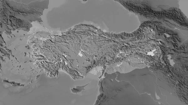
Turkey area on the grayscale elevation map in the stereographic projection - raw composition of raster layers
Turkey Area Grayscale Elevation Map Stereographic Projection Raw Composition Raster — Stock Photo, Image
Shape of Repuplika Srpska, entity of Bosnia and Herzegovina, with its capital isolated on a solid color background. Colored elevation map. 3D rendering
Shape Repuplika Srpska Entity Bosnia Herzegovina Its Capital Isolated Solid — Stock Photo, Image
Area of Niamey, capital district of Niger, isolated on a solid background in a georeferenced bounding box. Labels. Colored elevation map. 3D rendering
Area Niamey Capital District Niger Isolated Solid Background Georeferenced Bounding — Stock Photo, Image
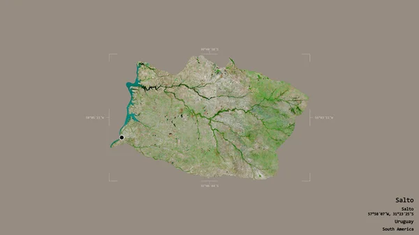
Area of Salto, department of Uruguay, isolated on a solid background in a georeferenced bounding box. Labels. Satellite imagery. 3D rendering
Area Salto Department Uruguay Isolated Solid Background Georeferenced Bounding Box — Stock Photo, Image
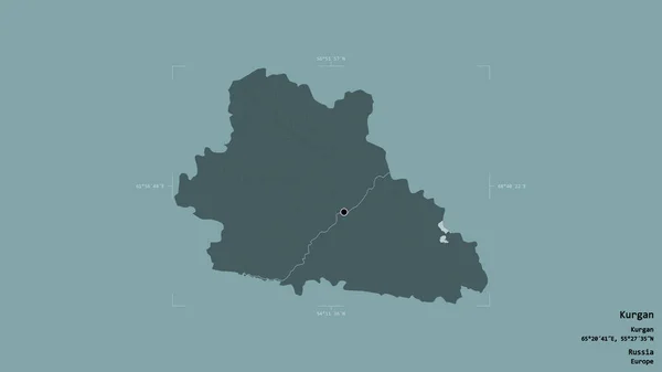
Area of Kurgan, region of Russia, isolated on a solid background in a georeferenced bounding box. Labels. Colored elevation map. 3D rendering
Area Kurgan Region Russia Isolated Solid Background Georeferenced Bounding Box — Stock Photo, Image
Central Darfur, state of Sudan. Colored shader data with lakes and rivers. Shape outlined against its country area. 3D rendering
Central Darfur State Sudan Colored Shader Data Lakes Rivers Shape — Stock Photo, Image
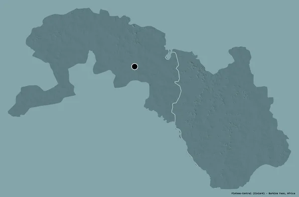
Shape of Plateau-Central, region of Burkina Faso, with its capital isolated on a solid color background. Colored elevation map. 3D rendering
Shape Plateau Central Region Burkina Faso Its Capital Isolated Solid — Stock Photo, Image
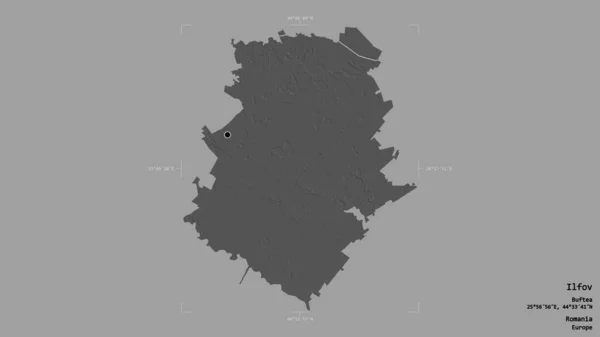
Area of Ilfov, county of Romania, isolated on a solid background in a georeferenced bounding box. Labels. Bilevel elevation map. 3D rendering
Area Ilfov County Romania Isolated Solid Background Georeferenced Bounding Box — Stock Photo, Image
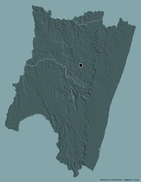
Shape of Fianarantsoa, autonomous province of Madagascar, with its capital isolated on a solid color background. Colored elevation map. 3D rendering
Shape Fianarantsoa Autonomous Province Madagascar Its Capital Isolated Solid Color — Stock Photo, Image
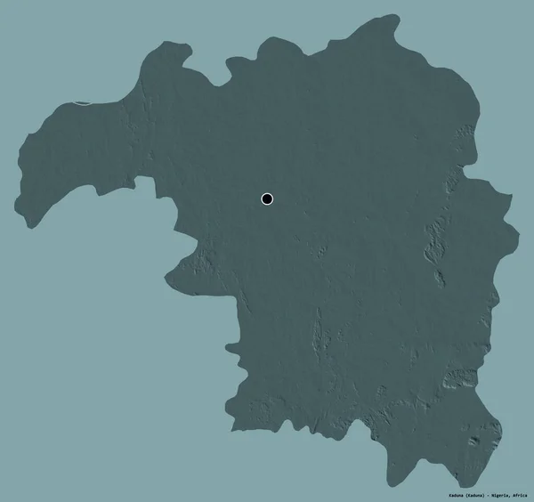
Shape of Kaduna, state of Nigeria, with its capital isolated on a solid color background. Colored elevation map. 3D rendering
Shape Kaduna State Nigeria Its Capital Isolated Solid Color Background — Stock Photo, Image
Area of Dornod, province of Mongolia, isolated on a solid background in a georeferenced bounding box. Labels. Topographic relief map. 3D rendering
Area Dornod Province Mongolia Isolated Solid Background Georeferenced Bounding Box — Stock Photo, Image
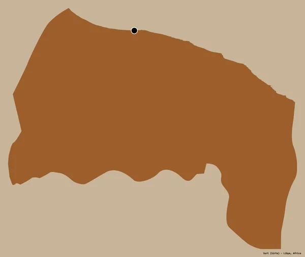
Shape of Surt, district of Libya, with its capital isolated on a solid color background. Composition of patterned textures. 3D rendering
Shape Surt District Libya Its Capital Isolated Solid Color Background — Stock Photo, Image
Shape of Osmaniye, province of Turkey, and its capital. Distance scale, previews and labels. Composition of patterned textures. 3D rendering
Shape Osmaniye Province Turkey Its Capital Distance Scale Previews Labels — Stock Photo, Image
Shape of Kardzhali, province of Bulgaria, with its capital isolated on a solid color background. Topographic relief map. 3D rendering
Shape Kardzhali Province Bulgaria Its Capital Isolated Solid Color Background — Stock Photo, Image
Area of Iasi, county of Romania, isolated on a solid background in a georeferenced bounding box. Labels. Colored elevation map. 3D rendering
Area Iasi County Romania Isolated Solid Background Georeferenced Bounding Box — Stock Photo, Image
Shape of Ogooue-Lolo, province of Gabon, with its capital isolated on a solid color background. Topographic relief map. 3D rendering
Shape Ogooue Lolo Province Gabon Its Capital Isolated Solid Color — Stock Photo, Image
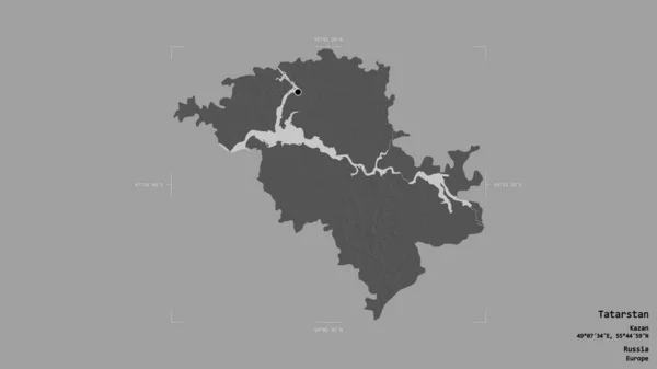
Area of Tatarstan, republic of Russia, isolated on a solid background in a georeferenced bounding box. Labels. Bilevel elevation map. 3D rendering
Area Tatarstan Republic Russia Isolated Solid Background Georeferenced Bounding Box — Stock Photo, Image
Shape of Bueng Kan, province of Thailand, with its capital isolated on white background. Topographic relief map. 3D rendering
Shape Bueng Kan Province Thailand Its Capital Isolated White Background — Stock Photo, Image
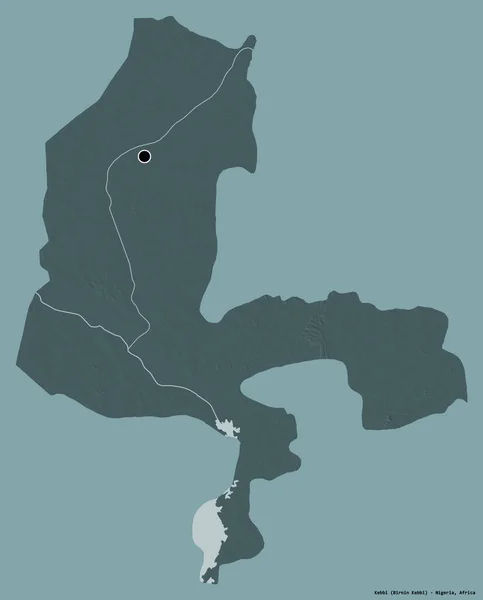
Shape of Kebbi, state of Nigeria, with its capital isolated on a solid color background. Colored elevation map. 3D rendering
Shape Kebbi State Nigeria Its Capital Isolated Solid Color Background — Stock Photo, Image
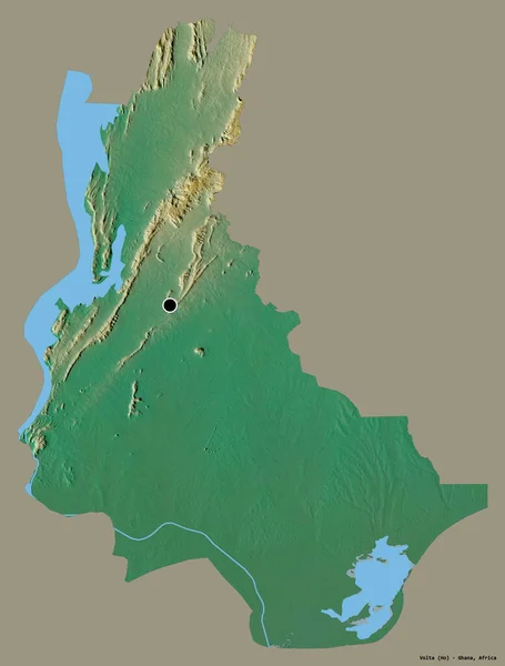
Shape of Volta, region of Ghana, with its capital isolated on a solid color background. Topographic relief map. 3D rendering
Shape Volta Region Ghana Its Capital Isolated Solid Color Background — Stock Photo, Image
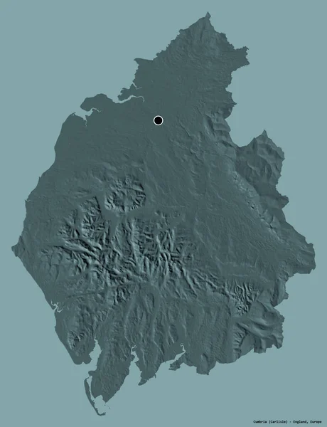
Shape of Cumbria, administrative county of England, with its capital isolated on a solid color background. Colored elevation map. 3D rendering
Shape Cumbria Administrative County England Its Capital Isolated Solid Color — Stock Photo, Image
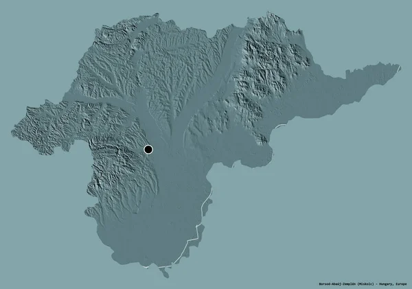
Shape of Borsod-Abauj-Zemplen, county of Hungary, with its capital isolated on a solid color background. Colored elevation map. 3D rendering
Shape Borsod Abauj Zemplen County Hungary Its Capital Isolated Solid — Stock Photo, Image
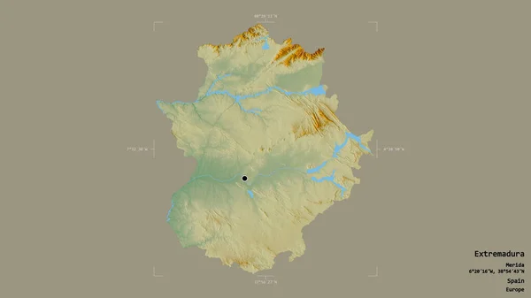
Area of Extremadura, autonomous community of Spain, isolated on a solid background in a georeferenced bounding box. Labels. Topographic relief map. 3D rendering
Area Extremadura Autonomous Community Spain Isolated Solid Background Georeferenced Bounding — Stock Photo, Image
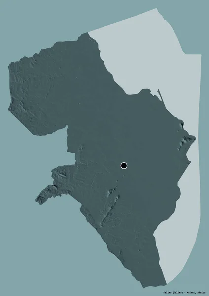
Shape of Salima, district of Malawi, with its capital isolated on a solid color background. Colored elevation map. 3D rendering
Shape Salima District Malawi Its Capital Isolated Solid Color Background — Stock Photo, Image
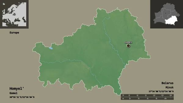
Shape of Homyel', region of Belarus, and its capital. Distance scale, previews and labels. Topographic relief map. 3D rendering
Shape Homyel Region Belarus Its Capital Distance Scale Previews Labels — Stock Photo, Image
Shape of Minsk, region of Belarus, and its capital. Distance scale, previews and labels. Satellite imagery. 3D rendering
Shape Minsk Region Belarus Its Capital Distance Scale Previews Labels — Stock Photo, Image
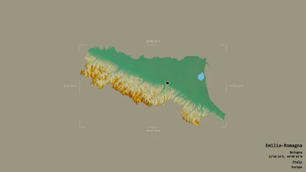
Area of Emilia-Romagna, region of Italy, isolated on a solid background in a georeferenced bounding box. Labels. Topographic relief map. 3D rendering
Area Emilia Romagna Region Italy Isolated Solid Background Georeferenced Bounding — Stock Photo, Image
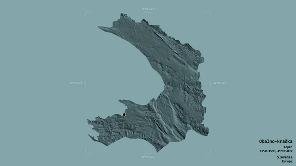
Area of Obalno-kraska, statistical region of Slovenia, isolated on a solid background in a georeferenced bounding box. Labels. Colored elevation map. 3D rendering
Area Obalno Kraska Statistical Region Slovenia Isolated Solid Background Georeferenced — Stock Photo, Image
Solidified lava after an erruption. Vegetation grows back on volcano's lava
Solidified Lava Erruption Vegetation Grows Back Volcano Lava — Stock Photo, Image
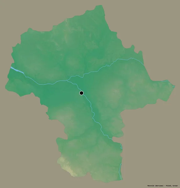
Shape of Masovian, voivodeship of Poland, with its capital isolated on a solid color background. Topographic relief map. 3D rendering
Shape Masovian Voivodeship Poland Its Capital Isolated Solid Color Background — Stock Photo, Image
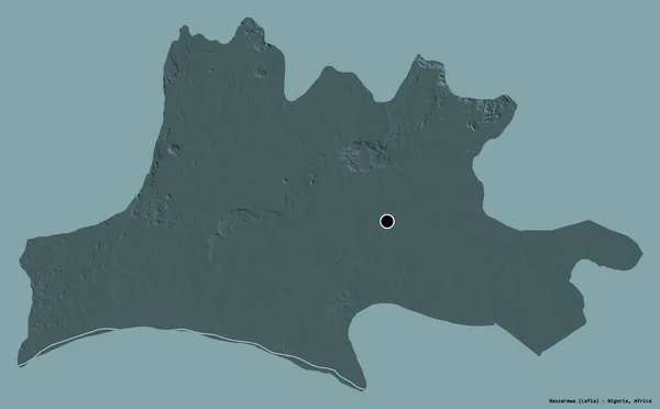
Shape of Nassarawa, state of Nigeria, with its capital isolated on a solid color background. Colored elevation map. 3D rendering
Shape Nassarawa State Nigeria Its Capital Isolated Solid Color Background — Stock Photo, Image
Shape of Boujdour, province of Western Sahara, with its capital isolated on a solid color background. Colored elevation map. 3D rendering
Shape Boujdour Province Western Sahara Its Capital Isolated Solid Color — Stock Photo, Image
Shape of Mahdia, governorate of Tunisia, with its capital isolated on a solid color background. Colored elevation map. 3D rendering
Shape Mahdia Governorate Tunisia Its Capital Isolated Solid Color Background — Stock Photo, Image
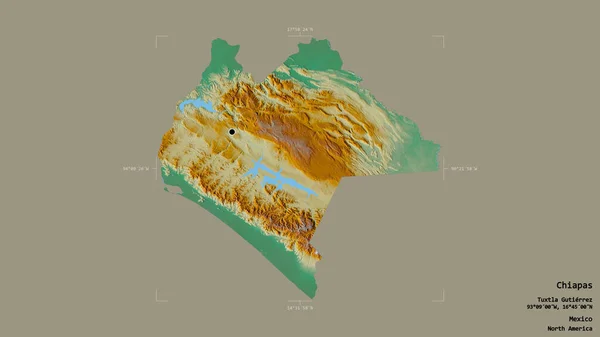
Area of Chiapas, state of Mexico, isolated on a solid background in a georeferenced bounding box. Labels. Topographic relief map. 3D rendering
Area Chiapas State Mexico Isolated Solid Background Georeferenced Bounding Box — Stock Photo, Image
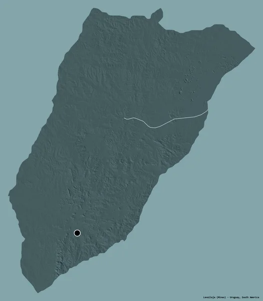
Shape of Lavalleja, department of Uruguay, with its capital isolated on a solid color background. Colored elevation map. 3D rendering
Shape Lavalleja Department Uruguay Its Capital Isolated Solid Color Background — Stock Photo, Image
Area of Hebei, province of China, isolated on a solid background in a georeferenced bounding box. Labels. Bilevel elevation map. 3D rendering
Area Hebei Province China Isolated Solid Background Georeferenced Bounding Box — Stock Photo, Image
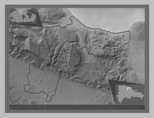
Espaillat, province of Dominican Republic. Grayscale elevation map with lakes and rivers. Locations of major cities of the region. Corner auxiliary location maps
Espaillat Province Dominican Republic Grayscale Elevation Map Lakes Rivers Locations — Stock Photo, Image
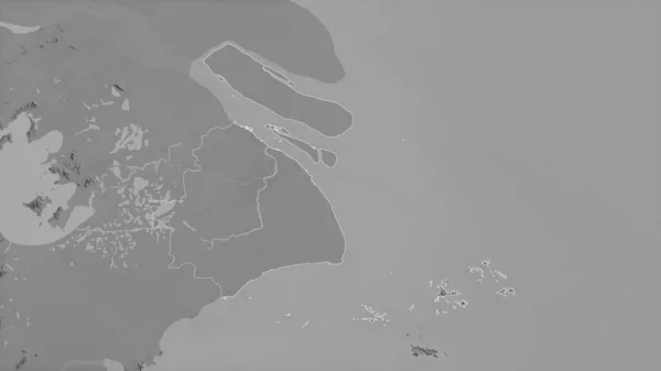
Shanghai, municipality of China. Grayscaled map with lakes and rivers. Shape outlined against its country area. 3D rendering
Shanghai Municipality China Grayscaled Map Lakes Rivers Shape Outlined Its — Stock Photo, Image
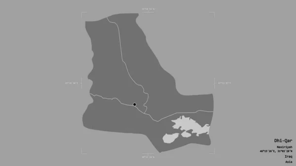
Area of Dhi-Qar, province of Iraq, isolated on a solid background in a georeferenced bounding box. Labels. Bilevel elevation map. 3D rendering
Area Dhi Qar Province Iraq Isolated Solid Background Georeferenced Bounding — Stock Photo, Image
Stroma Images: A Comprehensive Collection of High-Quality Images

Looking for visually stunning, high-quality stock images of stromal cells? You're in the right place. Our collection of stroma images includes a vast array of images that showcase the intricate details and structures of stromal cells and their various functions. Whether you need images for scientific research, educational materials, or professional presentations, we have a vast assortment of images to meet your needs.
Types of Stroma Images Available

Our collection of stroma images includes a broad range of formats, including JPG, AI, and EPS files. All images are high-resolution and have been carefully curated to ensure that they are of the highest quality and accurately represent the subject matter. From 3D renderings to microscopy images, you'll find a range of styles and types of stroma images to choose from in our collection.

In addition to still images, we also offer an array of video footage that can bring stromal cells to life in new and exciting ways. Utilize these videos for presentations, educational materials, or in any project where you want to highlight the structure and function of stromal cells.

Where Can You Use Stroma Images?

Our collection of stroma images can be used in a variety of settings, including scientific presentations, educational materials, and marketing materials such as posters, brochures, and website designs. Whether you're creating educational materials about stromal cells or highlighting their importance in scientific research, using striking, high-quality images can help convey your message more effectively.

By incorporating stroma images into your work, you can create visually appealing designs that capture the attention of your audience and convey your message in a way that is easy to understand.

Choosing the Right Stroma Image

Choosing the right stroma image can make all the difference in the effectiveness of your project. To ensure that you select the best image for your needs, consider the following:

  • The purpose of the project: What message are you trying to convey, and who is your audience?
  • The style and format of the image: Do you want an image with a realistic, 3D rendering, or would you prefer a microscopic image?
  • The resolution and size of the image: Make sure that the image you select is of high enough resolution to be used in your project without becoming blurry or pixelated.

By taking the time to consider these factors, you can choose a stroma image that perfectly suits your needs and achieves the desired impact.

In Conclusion

Our collection of stroma images is a comprehensive resource for anyone who needs to incorporate high-quality images of stromal cells into their projects. With a range of styles and formats to choose from, our images can be used across a variety of settings and for different purposes. By selecting the right image for your project and incorporating it into your work effectively, you can create a stunning and meaningful design that captures the attention of your audience and communicates your message more effectively.