Time zone map Stock Photos

100,000 Time zone map pictures are available under a royalty-free license

  • Best Match
  • Fresh
  • Popular
1-100 of 100,000
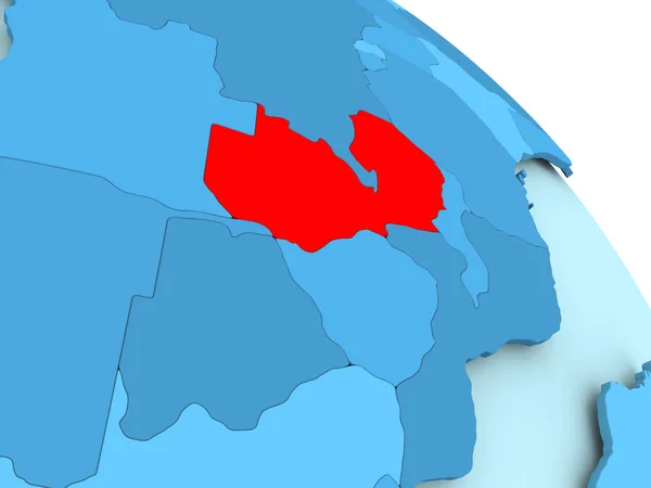
Zambia on blue globe
Zambia on blue globe — Stock Photo, Image
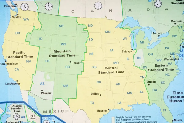
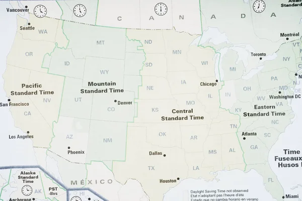
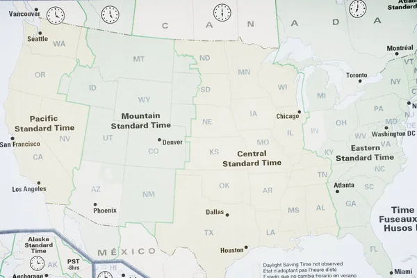
Map of USA time zone background
Map Usa Time Zone Background — Stock Photo, Image
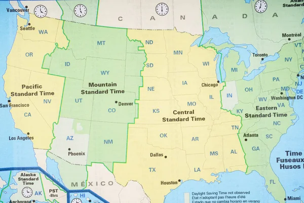
Map of USA time zone background
Map Usa Time Zone Background — Stock Photo, Image
Map of USA time zone background
Map Usa Time Zone Background — Stock Photo, Image
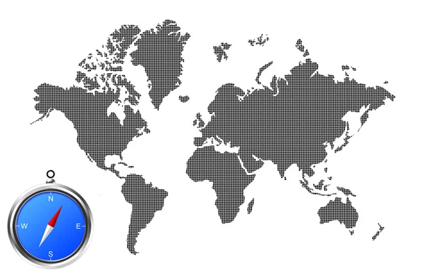
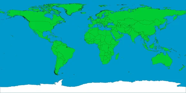
World map image
World map image — Stock Photo, Image
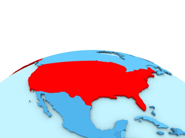
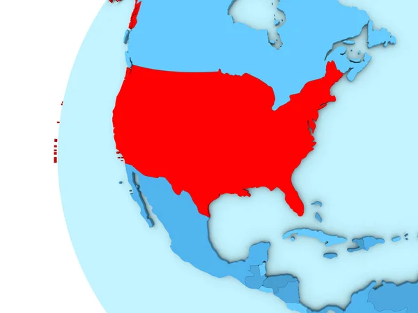
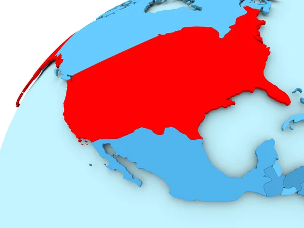
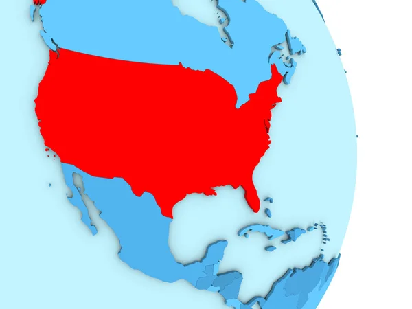
USA on blue globe
USA on blue globe — Stock Photo, Image
Zoomed-in view of Congo Brazzaville outline with perspective lines against a global map in the Kavrayskiy projection. Shape centered. color map of administrative divisions
Zoomed View Congo Brazzaville Outline Perspective Lines Global Map Kavrayskiy — Stock Photo, Image
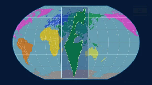
Zoomed-in view of Israel outline with perspective lines against a global map in the Kavrayskiy projection. Shape centered. color map of continents
Zoomed View Israel Outline Perspective Lines Global Map Kavrayskiy Projection — Stock Photo, Image
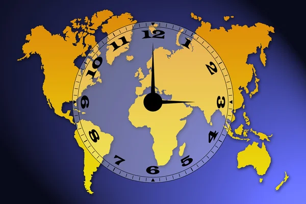
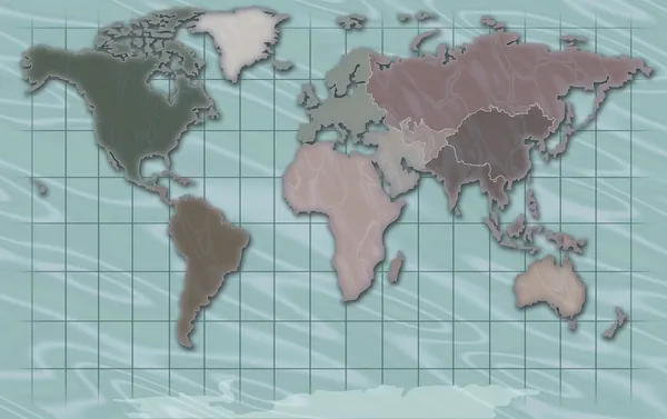
World map
World map — Stock Photo, Image
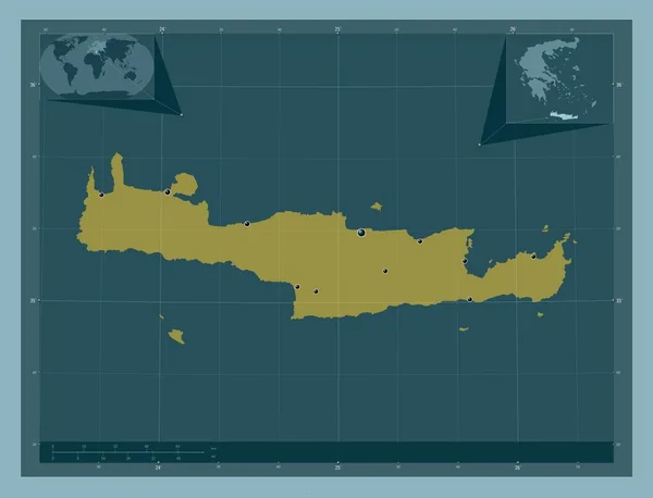
Crete, decentralized administration of Greece. Solid color shape. Locations of major cities of the region. Corner auxiliary location maps
Crete Decentralized Administration Greece Solid Color Shape Locations Major Cities — Stock Photo, Image
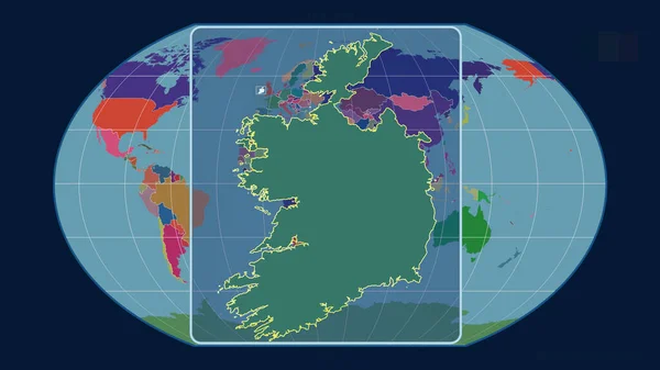
Zoomed-in view of Ireland outline with perspective lines against a global map in the Kavrayskiy projection. Shape centered. color map of administrative divisions
Zoomed View Ireland Outline Perspective Lines Global Map Kavrayskiy Projection — Stock Photo, Image
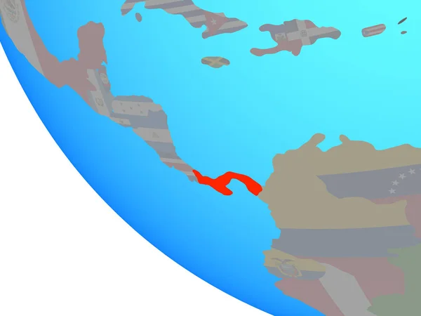
Panama with national flag on simple globe. 3D illustration.
Panama National Flag Simple Globe Illustration — Stock Photo, Image
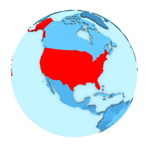
USA on globe isolated
USA on globe isolated — Stock Photo, Image
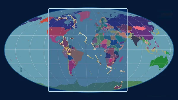
Zoomed-in view of Gambia outline with perspective lines against a global map in the Mollweide projection. Shape centered. color map of administrative divisions
Zoomed View Gambia Outline Perspective Lines Global Map Mollweide Projection — Stock Photo, Image
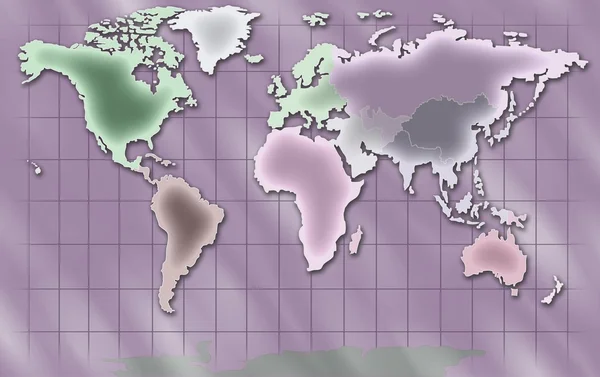
World Map Illustration
World Map Illustration — Stock Photo, Image
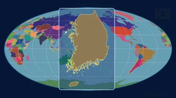
Zoomed-in view of South Korea outline with perspective lines against a global map in the Mollweide projection. Shape centered. Color map of the administrative division
Zoomed View South Korea Outline Perspective Lines Global Map Mollweide — Stock Photo, Image
Conceptual image of a clock on dollar bill background
Conceptual Image Clock Dollar Bill Background — Stock Photo, Image
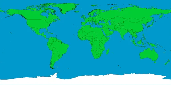
World map with borders
World map with borders — Stock Photo, Image
USA on blue globe
USA on blue globe — Stock Photo, Image
Map of USA time zone background
Map Usa Time Zone Background — Stock Photo, Image
Map of USA time zone background
Map Usa Time Zone Background — Stock Photo, Image
World Map Illustration
World Map Illustration — Stock Photo, Image
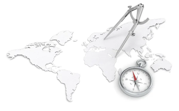
Navigation.
Navigation. — Stock Photo, Image
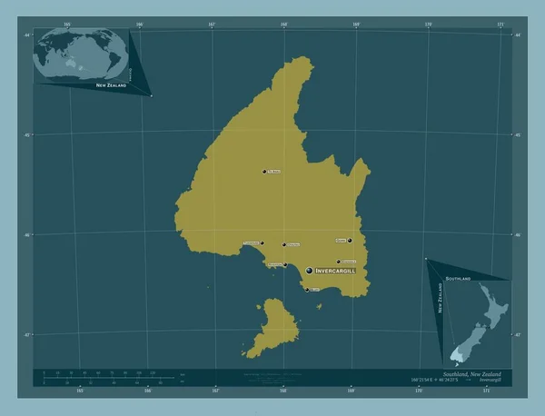
Southland, regional council of New Zealand. Solid color shape. Locations and names of major cities of the region. Corner auxiliary location maps
Southland Regional Council New Zealand Solid Color Shape Locations Names — Stock Photo, Image
USA on blue globe
USA on blue globe — Stock Photo, Image
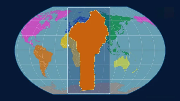
Zoomed-in view of Benin outline with perspective lines against a global map in the Kavrayskiy projection. Shape centered. color map of continents
Zoomed View Benin Outline Perspective Lines Global Map Kavrayskiy Projection — Stock Photo, Image
3d map formed by the BRIC countries Brazil, Russia, India and Ch
3d map formed by the BRIC countries Brazil, Russia, India and Ch — Stock Photo, Image
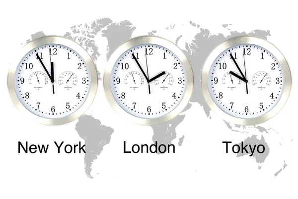
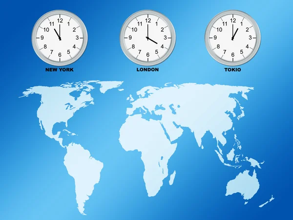
World map and time zone clocks, business going global
World map and time zone clocks, business going global — Stock Photo, Image
Arctic north polar region on globe political map
Arctic north polar region on globe political map — Stock Photo, Image
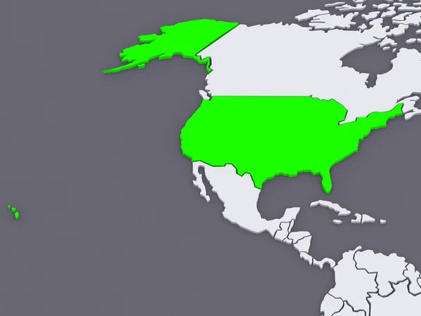
Map of worlds. USA.
Map of worlds. USA. — Stock Photo, Image
Zoomed-in view of Ireland outline with perspective lines against a global map in the Mollweide projection. Shape centered. color map of administrative divisions
Zoomed View Ireland Outline Perspective Lines Global Map Mollweide Projection — Stock Photo, Image
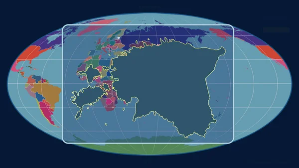
Zoomed-in view of Estonia outline with perspective lines against a global map in the Mollweide projection. Shape centered. color map of administrative divisions
Zoomed View Estonia Outline Perspective Lines Global Map Mollweide Projection — Stock Photo, Image
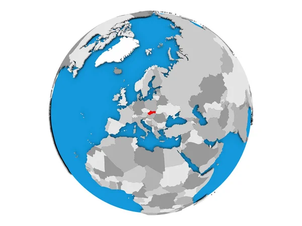
Slovakia on globe isolated
Slovakia on globe isolated — Stock Photo, Image
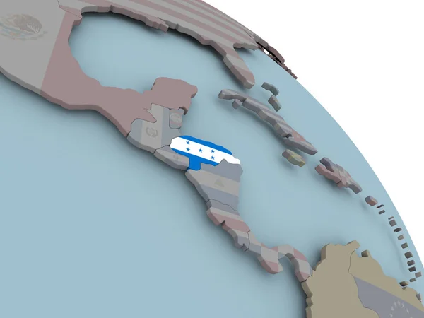
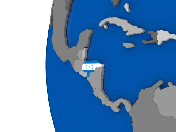
Honduras on globe
Honduras on globe — Stock Photo, Image
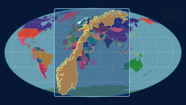
Zoomed-in view of Norway outline with perspective lines against a global map in the Mollweide projection. Shape centered. color map of administrative divisions
Zoomed View Norway Outline Perspective Lines Global Map Mollweide Projection — Stock Photo, Image
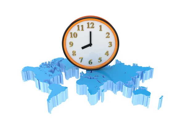
World map clock
World map clock — Stock Photo, Image
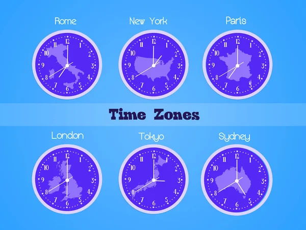
Illustration of time zones
Illustration Time Zones — Stock Photo, Image
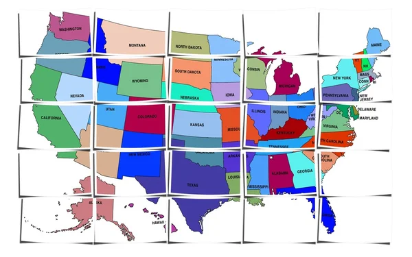
USA map
USA map — Stock Photo, Image
Map with stopwatch
Map with stopwatch — Stock Photo, Image
Map of the world and big watch.
Map of the world and big watch. — Stock Photo, Image
USA on blue political globe
USA on blue political globe — Stock Photo, Image
World Map Illustration
World Map Illustration — Stock Photo, Image
Map of Honduras with flag
Map of Honduras with flag — Stock Photo, Image
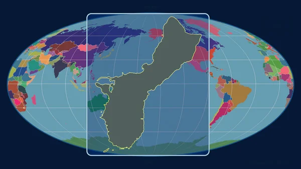
Zoomed-in view of Guam outline with perspective lines against a global map in the Mollweide projection. Shape centered. color map of administrative divisions
Zoomed View Guam Outline Perspective Lines Global Map Mollweide Projection — Stock Photo, Image
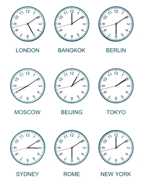
World clock
World clock — Stock Photo, Image
Earth isolated with white background
Earth isolated with white background — Stock Photo, Image
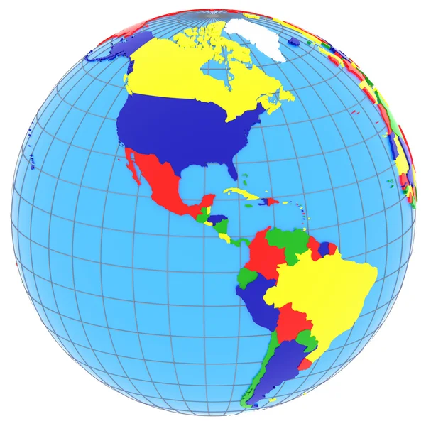
South and North America on the globe
South and North America on the globe — Stock Photo, Image
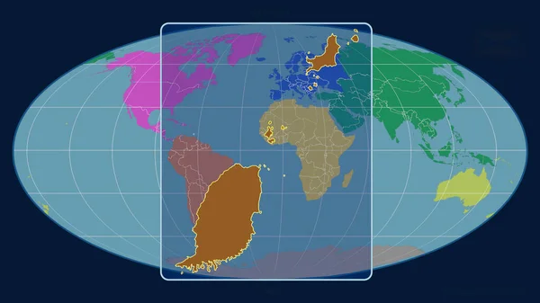
Zoomed-in view of Grenada outline with perspective lines against a global map in the Mollweide projection. Shape centered. color map of administrative divisions
Zoomed View Grenada Outline Perspective Lines Global Map Mollweide Projection — Stock Photo, Image
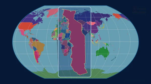
Zoomed-in view of Togo outline with perspective lines against a global map in the Kavrayskiy projection. Shape centered. color map of administrative divisions
Zoomed View Togo Outline Perspective Lines Global Map Kavrayskiy Projection — Stock Photo, Image
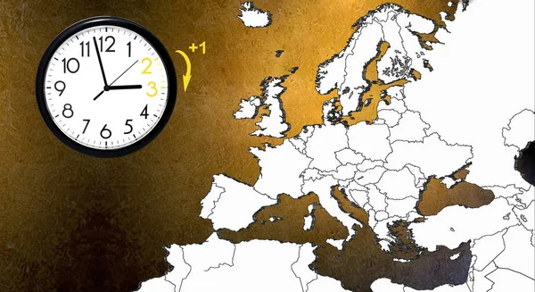
Daylight Saving Time. DST. Wall Clock going to winter time. Turn time forward.
Daylight Saving Time. DST. Wall Clock going to winter time. Turn time forward. — Stock Photo, Image
Planet Earth 3D flag with the wind Belize
Planet Earth 3D flag with the wind Belize — Stock Photo, Image
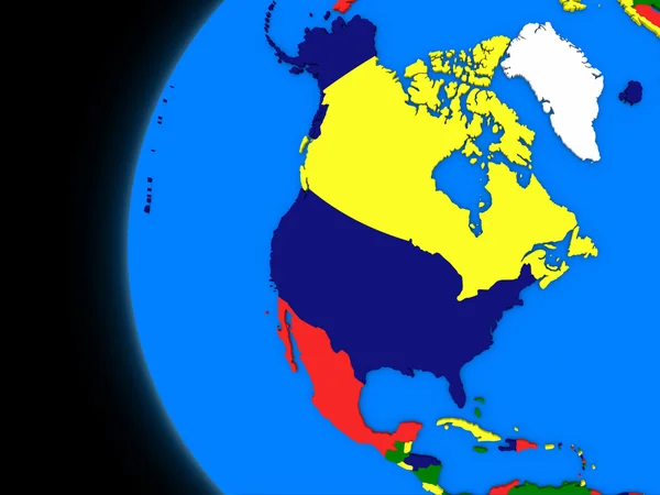
North american continent on political Earth
North american continent on political Earth — Stock Photo, Image
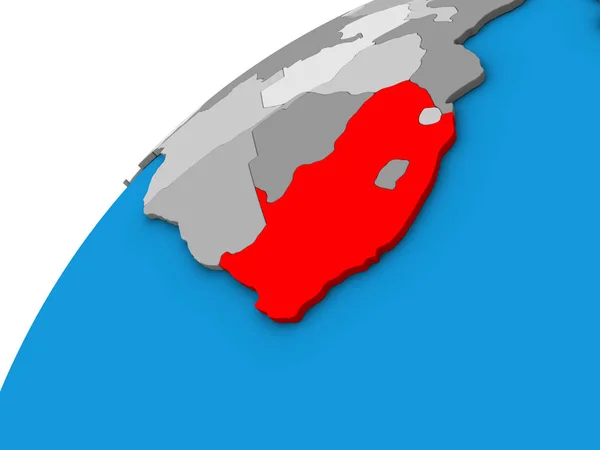
South Africa on 3D globe. 3D illustration.
South Africa Globe Illustration — Stock Photo, Image
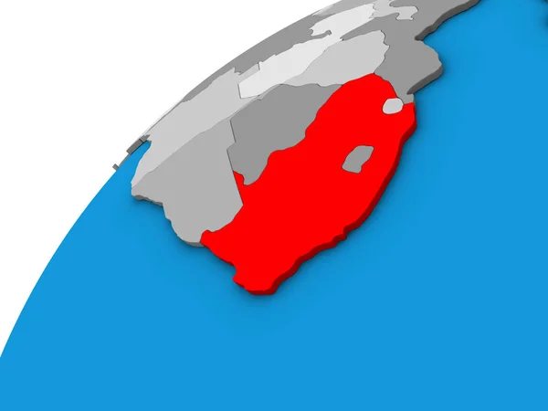
South Africa on 3D globe. 3D illustration.
South Africa Globe Illustration — Stock Photo, Image
Zoomed-in view of Turkey outline with perspective lines against a global map in the Mollweide projection. Shape centered. color map of continents
Zoomed View Turkey Outline Perspective Lines Global Map Mollweide Projection — Stock Photo, Image
World time.
World time. — Stock Photo, Image
World map with borders
World map with borders — Stock Photo, Image
Botswana on 3D globe
Botswana on 3D globe — Stock Photo, Image
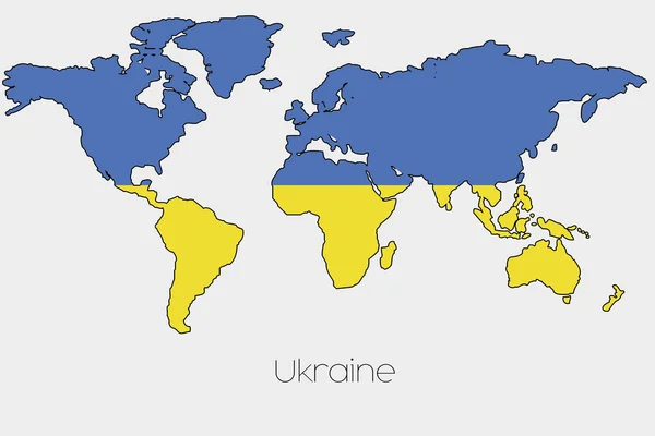
Flag Illustration inside the shape of a world map of the country
Flag Illustration inside the shape of a world map of the country — Stock Photo, Image
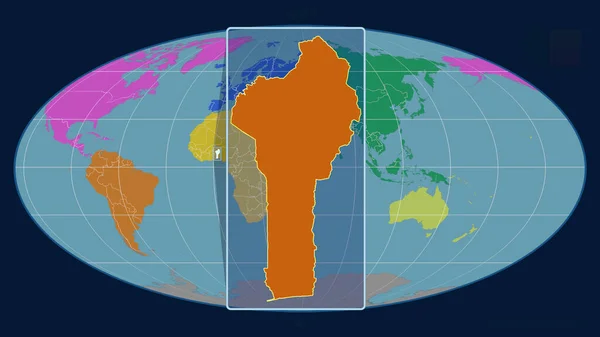
Zoomed-in view of Benin outline with perspective lines against a global map in the Mollweide projection. Shape centered. color map of continents
Zoomed View Benin Outline Perspective Lines Global Map Mollweide Projection — Stock Photo, Image
Black clock icon isolated on white backgroundBlack clock icon isolated on white background. Time icon
Black Clock Icon Isolated White Backgroundblack Clock Icon Isolated White — Stock Photo, Image
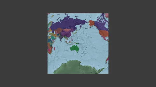
Square frame of the large-scale map of the world in an oblique Van der Grinten projection centered on the territory of Papua. Color map of the administrative division
Square Frame Large Scale Map World Oblique Van Der Grinten — Stock Photo, Image
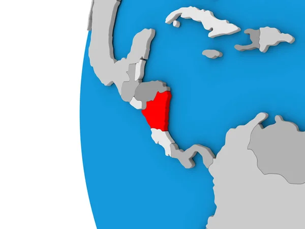
Nicaragua on globe
Nicaragua on globe — Stock Photo, Image
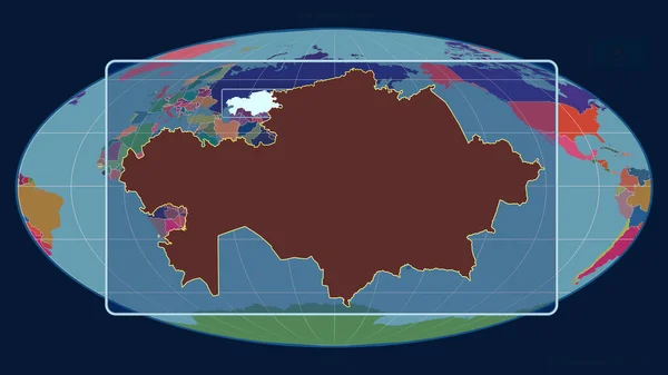
Zoomed-in view of Kazakhstan outline with perspective lines against a global map in the Mollweide projection. Shape centered. color map of administrative divisions
Zoomed View Kazakhstan Outline Perspective Lines Global Map Mollweide Projection — Stock Photo, Image
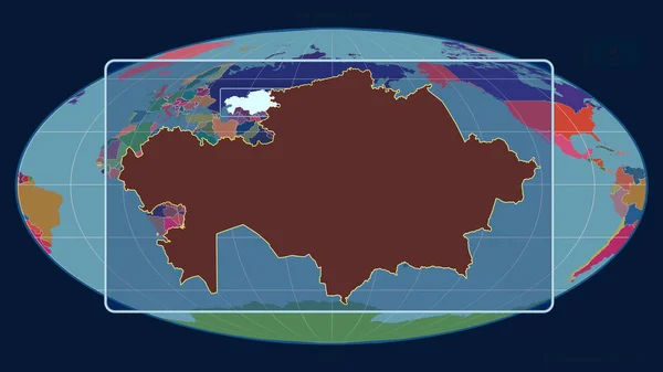
Zoomed-in view of Kazakhstan outline with perspective lines against a global map in the Mollweide projection. Shape centered. color map of administrative divisions
Zoomed View Kazakhstan Outline Perspective Lines Global Map Mollweide Projection — Stock Photo, Image
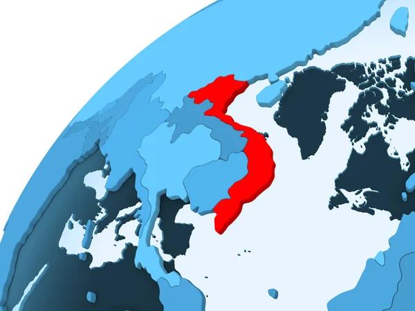
Vietnam in red on blue model of political globe with transparent oceans. 3D illustration.
Vietnam Red Blue Model Political Globe Transparent Oceans Illustration — Stock Photo, Image
Zoomed-in view of Grenada outline with perspective lines against a global map in the Mollweide projection. Shape centered. color map of continents
Zoomed View Grenada Outline Perspective Lines Global Map Mollweide Projection — Stock Photo, Image
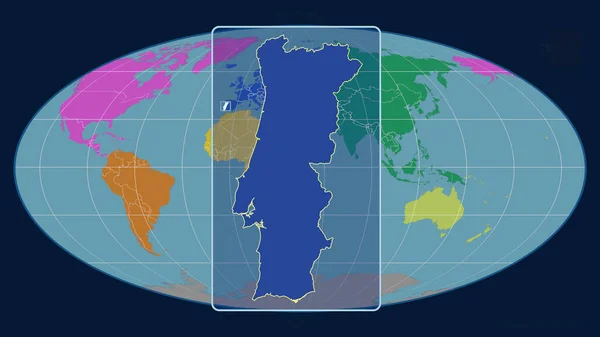
Zoomed-in view of Portugal outline with perspective lines against a global map in the Mollweide projection. Shape centered. color map of continents
Zoomed View Portugal Outline Perspective Lines Global Map Mollweide Projection — Stock Photo, Image
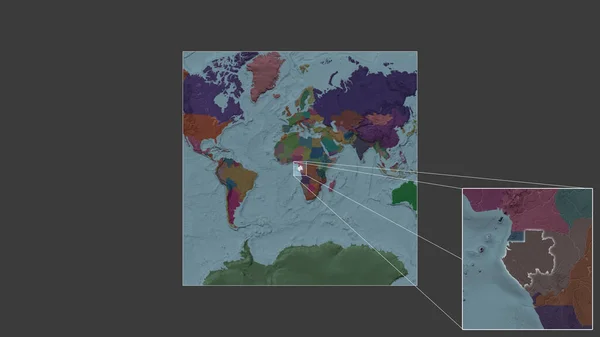
Expanded and enlarged area of Gabon extracted from the large-scale map of the world with leading lines connecting the corners of the frames. Color map of the administrative division
Expanded Enlarged Area Gabon Extracted Large Scale Map World Leading — Stock Photo, Image
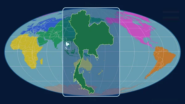
Zoomed-in view of Thailand outline with perspective lines against a global map in the Mollweide projection. Shape centered. color map of continents
Zoomed View Thailand Outline Perspective Lines Global Map Mollweide Projection — Stock Photo, Image
Syria in red on blue model of political globe with transparent oceans. 3D illustration.
Syria Red Blue Model Political Globe Transparent Oceans Illustration — Stock Photo, Image
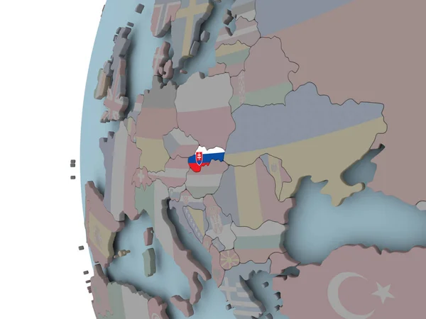
Slovakia with embedded national flag on globe. 3D illustration.
Slovakia Embedded National Flag Globe Illustration — Stock Photo, Image
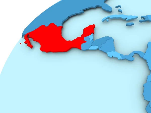
Mexico on blue globe
Mexico on blue globe — Stock Photo, Image
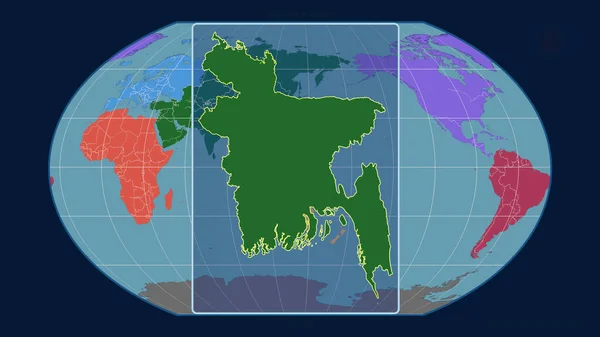
Zoomed-in view of Bangladesh outline with perspective lines against a global map in the Kavrayskiy projection. Shape centered. Color map of continents
Zoomed View Bangladesh Outline Perspective Lines Global Map Kavrayskiy Projection — Stock Photo, Image
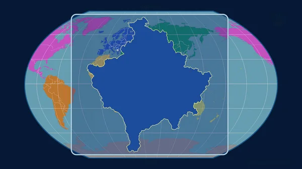
Zoomed-in view of Kosovo outline with perspective lines against a global map in the Kavrayskiy projection. Shape centered. color map of continents
Zoomed View Kosovo Outline Perspective Lines Global Map Kavrayskiy Projection — Stock Photo, Image
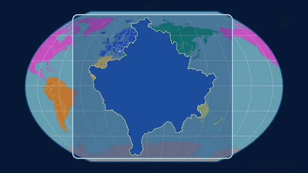
Zoomed-in view of Kosovo outline with perspective lines against a global map in the Kavrayskiy projection. Shape centered. color map of continents
Zoomed View Kosovo Outline Perspective Lines Global Map Kavrayskiy Projection — Stock Photo, Image
Zoomed-in view of Kosovo outline with perspective lines against a global map in the Kavrayskiy projection. Shape centered. color map of continents
Zoomed View Kosovo Outline Perspective Lines Global Map Kavrayskiy Projection — Stock Photo, Image
Zoomed-in view of Cambodia outline with perspective lines against a global map in the Kavrayskiy projection. Shape centered. color map of administrative divisions
Zoomed View Cambodia Outline Perspective Lines Global Map Kavrayskiy Projection — Stock Photo, Image
Slovakia with embedded flag on political globe. 3D illustration.
Slovakia Embedded Flag Political Globe Illustration — Stock Photo, Image
Zambia on colorful 3D globe
Zambia on colorful 3D globe — Stock Photo, Image
Zoomed-in view of Bahamas outline with perspective lines against a global map in the Mollweide projection. Shape centered. color map of administrative divisions
Zoomed View Bahamas Outline Perspective Lines Global Map Mollweide Projection — Stock Photo, Image
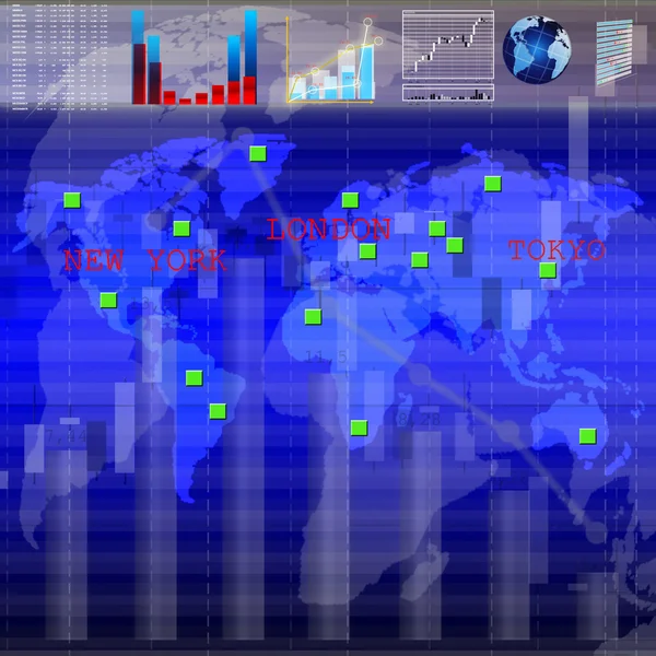
Growth and falling of the prices at the currency auctions are reflected in financial business
Growth Falling Prices Currency Auctions Reflected Financial Business — Stock Photo, Image
World Map Illustration
World Map Illustration — Stock Photo, Image
World map and clocks
World map and clocks — Stock Photo, Image
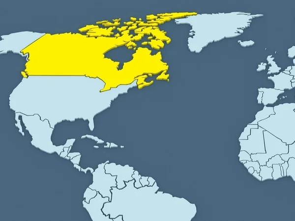
Map of worlds. Canada.
Map of worlds. Canada. — Stock Photo, Image
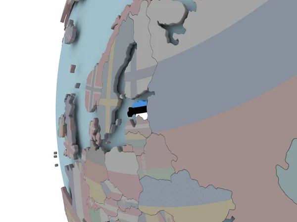
Estonia with embedded flag on political globe. 3D illustration.
Estonia Embedded Flag Political Globe Illustration — Stock Photo, Image
World Map Illustration
World Map Illustration — Stock Photo, Image
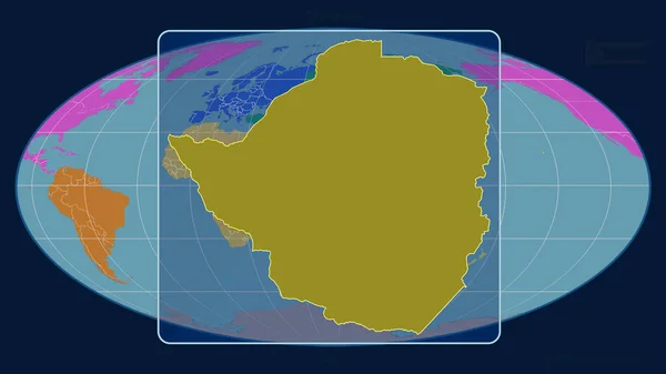
Zoomed-in view of Zimbabwe outline with perspective lines against a global map in the Mollweide projection. Shape centered. color map of continents
Zoomed View Zimbabwe Outline Perspective Lines Global Map Mollweide Projection — Stock Photo, Image
World Map Illustration
World Map Illustration — Stock Photo, Image
Map of USA
Map of USA — Stock Photo, Image
USA on political Earth model
USA on political Earth model — Stock Photo, Image
World Map Illustration
World Map Illustration — Stock Photo, Image
Time zone watch
Time zone watch — Stock Photo, Image
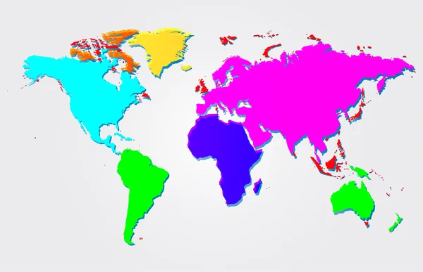
Multicolored world map illustration
Multicolored world map illustration — Stock Photo, Image
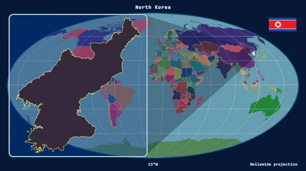
Zoomed-in view of North Korea outline with perspective lines against a global map in the Mollweide projection. Shape on the left side. color map of administrative divisions
Zoomed View North Korea Outline Perspective Lines Global Map Mollweide — Stock Photo, Image
Central, region of Ghana. Solid color shape. Corner auxiliary location maps
Central Region Ghana Solid Color Shape Corner Auxiliary Location Maps — Stock Photo, Image
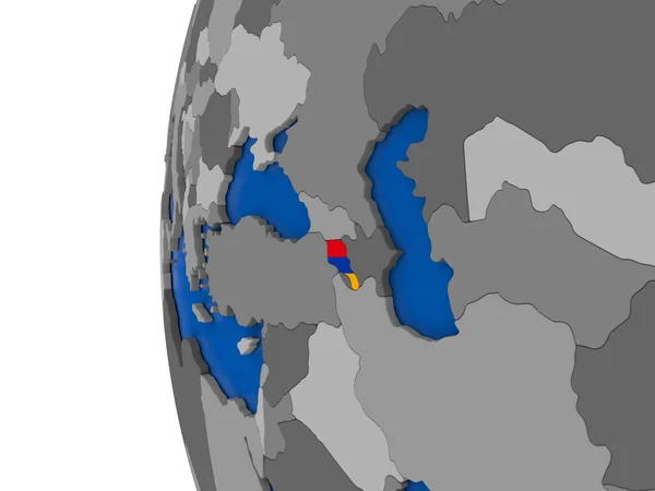
Armenia on globe
Armenia on globe — Stock Photo, Image
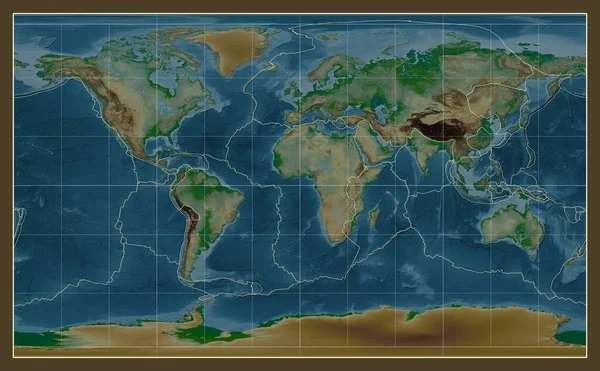
Tectonic plate boundaries on a physical map of the world in the Compact Miller projection centered on the meridian 0 longitude
Tectonic Plate Boundaries Physical Map World Compact Miller Projection Centered — Stock Photo, Image

Discover Stunning Time Zone Map Images for Your Projects

When it comes to visualizing time zones, nothing beats the power of eye-catching and informative images. Whether you're working on a website, a presentation, or a publication, selecting the right time zone map images can make all the difference. To help you find the perfect visuals for your projects, we've curated a collection of high-quality stock images in popular formats, including JPG, AI, and EPS. So, without further ado, let's dive into our extraordinary selection of time zone map images that are sure to captivate your audience.
Time Zone Map images in JPG Format

JPG images are widely recognized and compatible with various software, making them an excellent choice for most projects. Our collection offers an extensive range of time zone map images in JPG format, each capturing the intricate details of global time zone divisions. Whether you're designing a travel brochure, creating an educational resource, or building a world clock app, these visually stunning JPG images will help you convey the concept of time zones effortlessly.

AI Format: Unleash Creativity with Time Zone Map Vector Graphics

If you're looking for more flexibility and customization options, our collection also includes time zone map images in AI format. AI files allow you to utilize vector graphics, giving you unparalleled control over color, size, and design elements. This format is ideal for graphic designers, allowing them to bring their creative visions to life and tailor time zone maps to match their branding or project specifications. With AI files, you can rest assured that your time zone map images will remain sharp and visually appealing, regardless of their size or purpose.

EPS Format: Seamless Integration in Your Publishing Projects

When it comes to publishing, EPS (Encapsulated PostScript) format is the go-to choice for professionals. Our collection includes a variety of time zone map images in EPS format, perfect for magazines, books, and other print materials. By utilizing EPS files, you'll be able to achieve high-resolution prints without compromising image quality. The scalability of EPS files ensures that your time zone maps will look stunning, regardless of their placement, be it on a full-page spread or a small caption. Impress your readers with seamlessly integrated time zone maps that enhance the overall visual appeal of your publication.

Practical Tips for Using Time Zone Map Images

Now that you have a broad understanding of the image formats we offer, let's delve into some practical tips for utilizing time zone map images effectively:

1. Choose the Right Style: Consider the tone and purpose of your project when selecting a time zone map image. Are you going for a modern and minimalist look, or a more vintage and artistic style?

2. Keep it Clean and Legible: Ensure that the time zone divisions and labels on your chosen image are clearly visible and easy to read. Cluttered or confusing maps may hinder comprehension.

3. Select Compatible Colors: Harmonize the colors of the time zone map with your overall design scheme. Consistent color choices create a visually cohesive project that is pleasing to the eye.

4. Consider Time Zone Overlaps: If your project requires highlighting multiple time zones, opt for images that clearly depict overlapping areas. This will help viewers easily identify the regions with shared time.

5. Customize When Needed: Don't be afraid to tweak the time zone map image to fit your specific requirements. Adding or removing labels, adjusting colors, or incorporating additional design elements can make the visual more tailored to your project.

By following these tips, you'll be able to effectively use time zone map images to elevate your projects and capture the attention of your audience. Harness the power of visuals to make complex concepts more accessible and engaging.

In conclusion, our collection of time zone map images in JPG, AI, and EPS formats provides an array of options to suit your project needs. From websites and presentations to publications, these visuals will enhance the impact and effectiveness of your work. With careful selection and thoughtful design choices, your audience will be captivated by the informational and picturesque portrayal of global time zones. Start exploring our vast collection today and unlock the potential of these stunning time zone map images for your next project!