Uk map Stock Vector Images

100,000 Uk map vector art & graphics are available under a royalty-free license

  • Best Match
  • Fresh
  • Popular
1-100 of 100,000
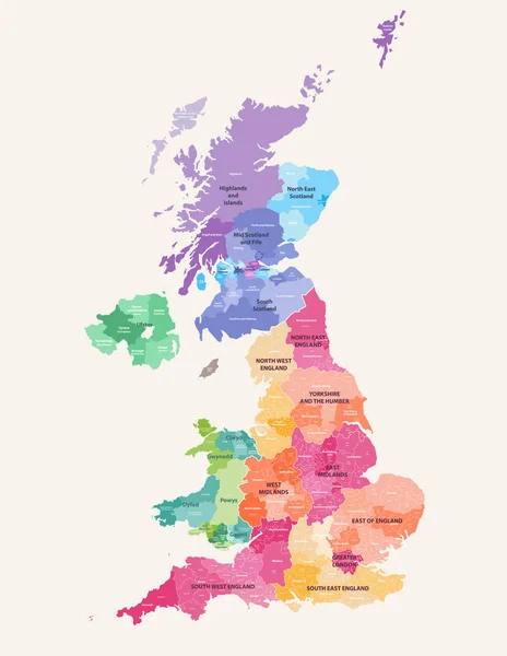
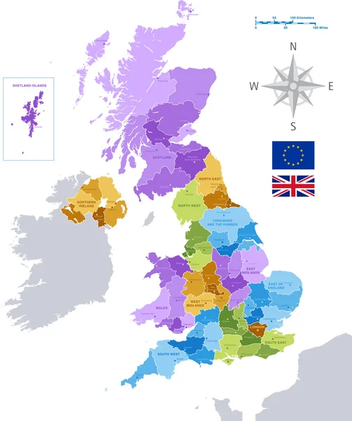
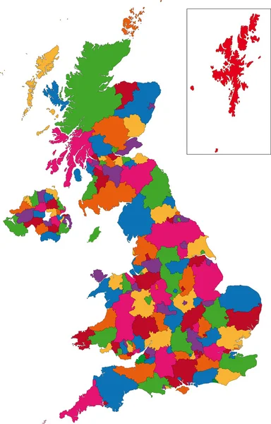
United Kingdom administrative districts high detailed vector map colored by regions with editable and labelled layers
United Kingdom Administrative Districts High Detailed Vector Map Colored Regions — Stock Vector
United Kingdom countries
United Kingdom countries — Stock Vector
United Kingdom
United Kingdom — Stock Vector
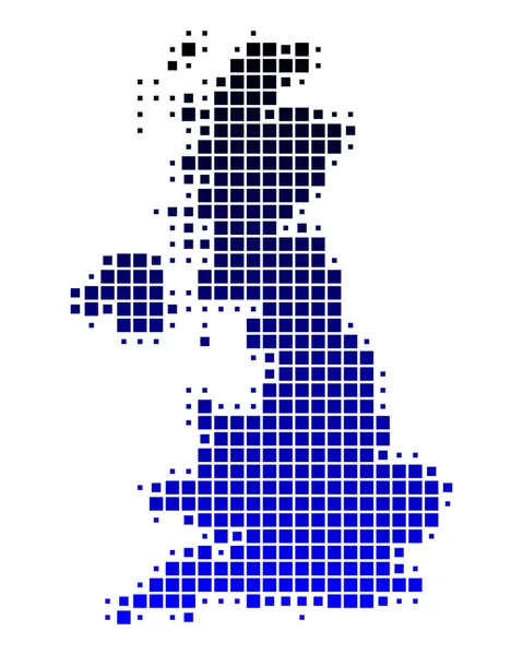
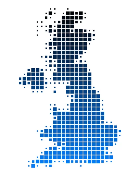
Dotted Great Britain map
Dotted Great Britain map — Stock Vector
Map of United Kingdom
Map of United Kingdom — Stock Vector
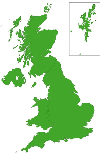
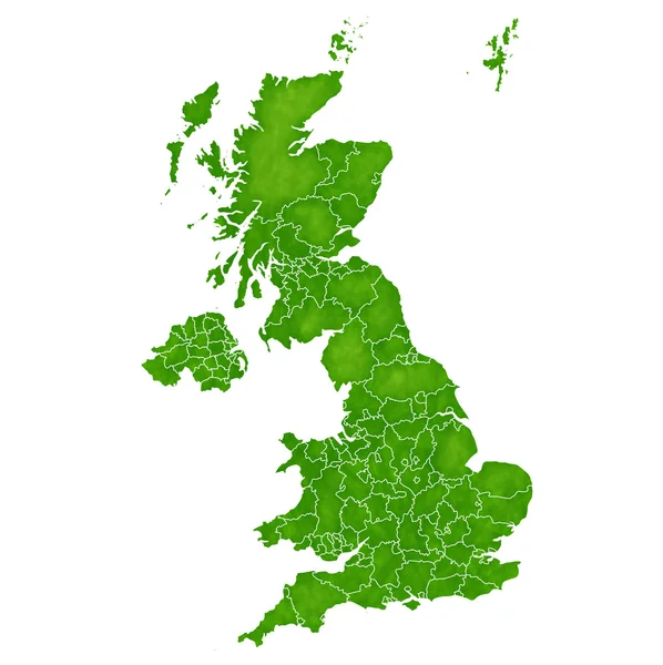
Uk map green
Uk map green — Stock Vector
Map Great Britain
Map Great Britain — Stock Vector
United Kingdom
United Kingdom — Stock Vector
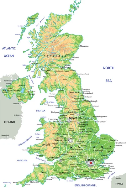
United Kingdom physical map
United Kingdom physical map — Stock Vector
Vector UK administrative map
Vector UK administrative map — Stock Vector
Map of uk
Map of uk — Stock Vector
Uk map blue divide
Uk map blue divide — Stock Vector
Map of Great Britain
Map of Great Britain — Stock Vector
Map of Great Britain
Map of Great Britain — Stock Vector
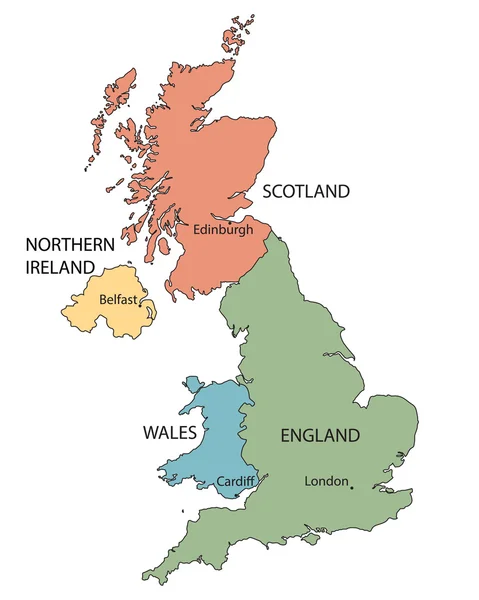
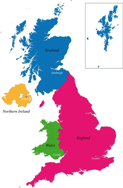
Colorful map of countries of United Kingdom with indication of capital cities
Colorful map of countries of United Kingdom with indication of capital cities — Stock Vector
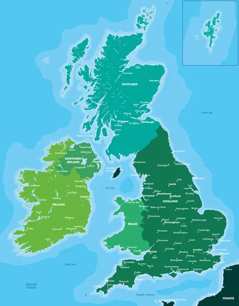
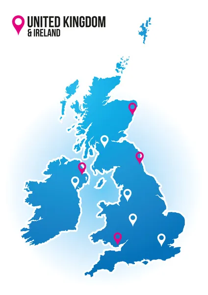
Color map of Great Britain and Ireland
Color map of Great Britain and Ireland — Stock Vector
Geometric map of the United Kingdom
Geometric map of the United Kingdom — Stock Vector
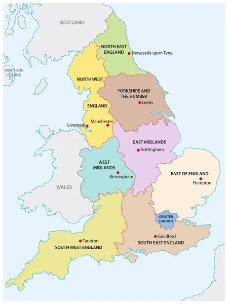
Outline map of the nine regions of England
Outline map of the nine regions of England — Stock Vector
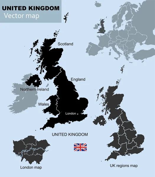
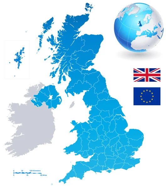
Vector Map Set of United Kingdom
Vector Map Set of United Kingdom — Stock Vector
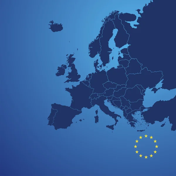
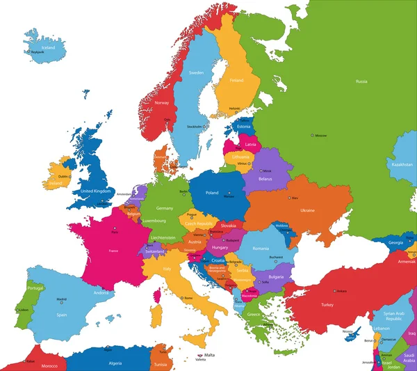
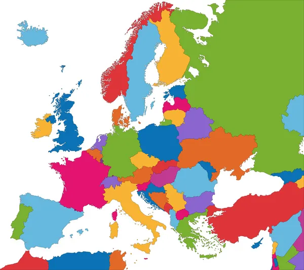
Europe map cover vector
Europe map cover vector — Stock Vector
Colorful United Kingdom map
Colorful United Kingdom map — Stock Vector
Map of United Kingdom
Map of United Kingdom — Stock Vector
United Kingdom
United Kingdom — Stock Vector
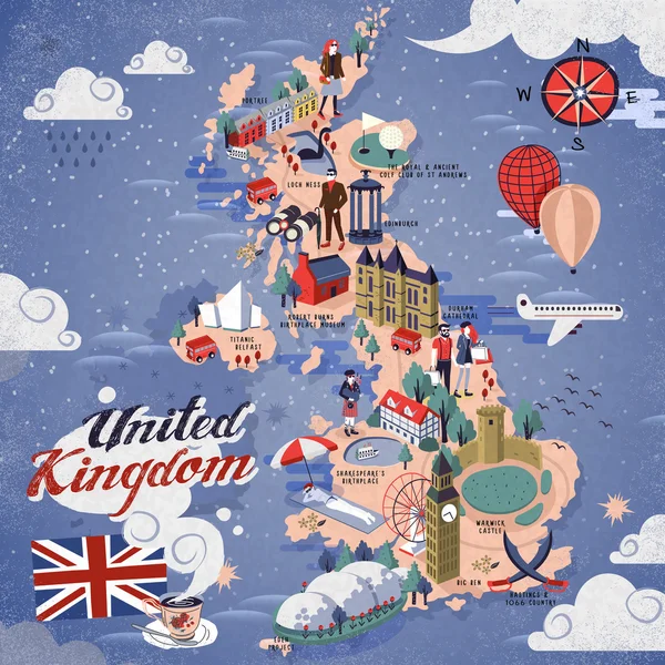
United Kingdom travel map
United Kingdom travel map — Stock Vector
Map of Great Britain
Map of Great Britain — Stock Vector
Map of Great Britain
Map of Great Britain — Stock Vector
United Kingdom map
United Kingdom map — Stock Vector
Hand drawn map of the United Kingdom including England, Wales, Scotland and Northern Ireland and their capital cities. Colorful hand drawn vector illustration.
Hand Drawn Map United Kingdom Including England Wales Scotland Northern — Stock Vector
United Kingdom travel map
United Kingdom travel map — Stock Vector
Green long shadow United Kingdom map
Green long shadow United Kingdom map — Stock Vector
Pacific Centered World map with magnified United Kingdom. Flag and map of United Kingdom.
Pacific Centered World Map Magnified United Kingdom Flag Map United — Stock Vector
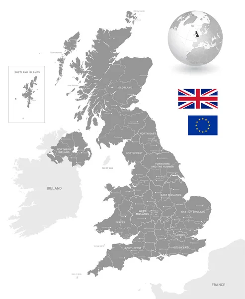
Grey Vector Map of the UK with Administrative borders, City and Region Names, international bordering countries and a 3D Globe centered on the UK
Grey Vector Map Administrative Borders City Region Names International Bordering — Stock Vector
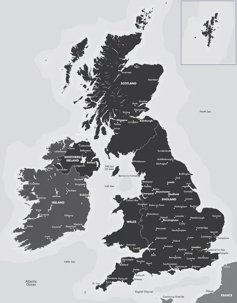
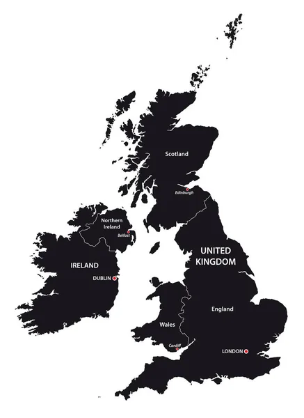
Black and white map of the UK and Ireland
Black and white map of the UK and Ireland — Stock Vector
United Kingdom map
United Kingdom map — Stock Vector
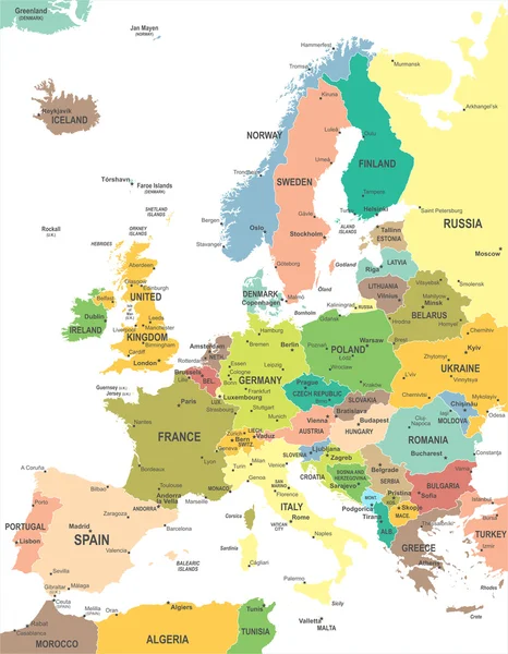
Europe map
Europe map — Stock Vector
Abstract icon map of United Kingdom
Abstract icon map of United Kingdom — Stock Vector
United Kingdom
United Kingdom — Stock Vector
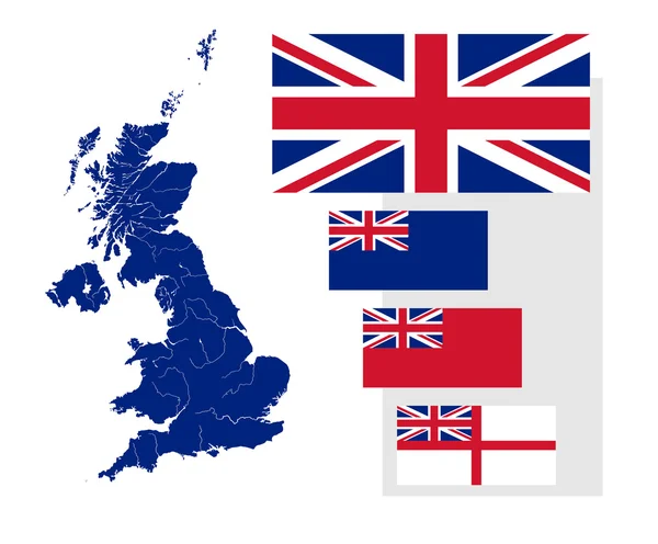
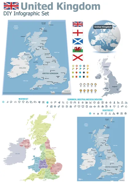
Map and flags of the United Kingdom
Map and flags of the United Kingdom — Stock Vector
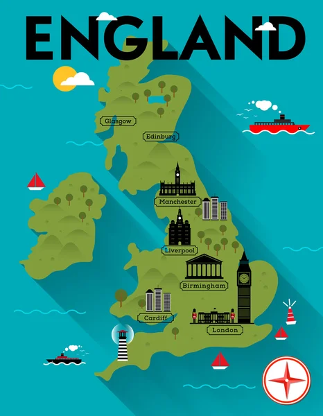
Map of England Illustration
Map of England Illustration — Stock Vector
Clipboard UK map
Clipboard UK map — Stock Vector
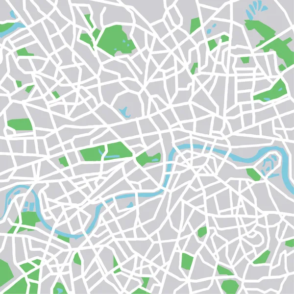
London
London — Stock Vector
Vector map of United Kingdom
Vector map of United Kingdom — Stock Vector
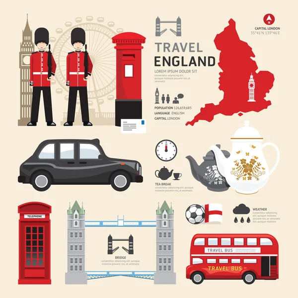
London,United Kingdom Flat Icons Design
London,United Kingdom Flat Icons Design — Stock Vector
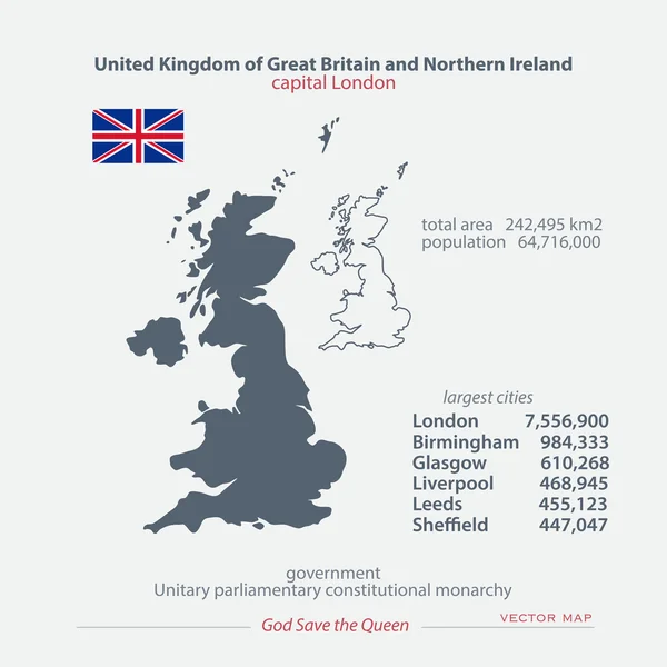
United Kingdom of Great Britain and Northern Ireland maps and official flag icon. vector British political map icons and general information. EU geographic banner template. business concept map
United Kingdom of Great Britain and Northern Ireland maps and official flag icon. vector British political map icons and general information. EU geographic banner template. business concept map — Stock Vector
UK map icon with a hand
UK map icon with a hand — Stock Vector
UK icons set
UK icons set — Stock Vector
Map
Map — Stock Vector
UK map icon with a photo camera
UK map icon with a photo camera — Stock Vector
Red long shadow United Kingdom map
Red long shadow United Kingdom map — Stock Vector
Connected UK
Connected UK — Stock Vector
England images. Vector illustration
England images. Vector illustration — Stock Vector
United Kingdom
United Kingdom — Stock Vector
United Kingdom flat icons
United Kingdom flat icons — Stock Vector
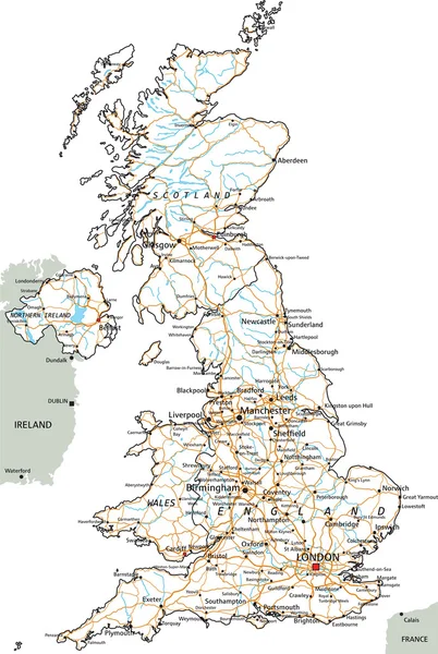
United Kingdom road map
United Kingdom road map — Stock Vector
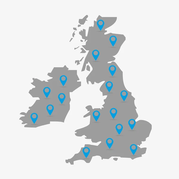
Map of the Great Britain in gray on a white background with markers
Map of the Great Britain in gray on a white background with markers — Stock Vector
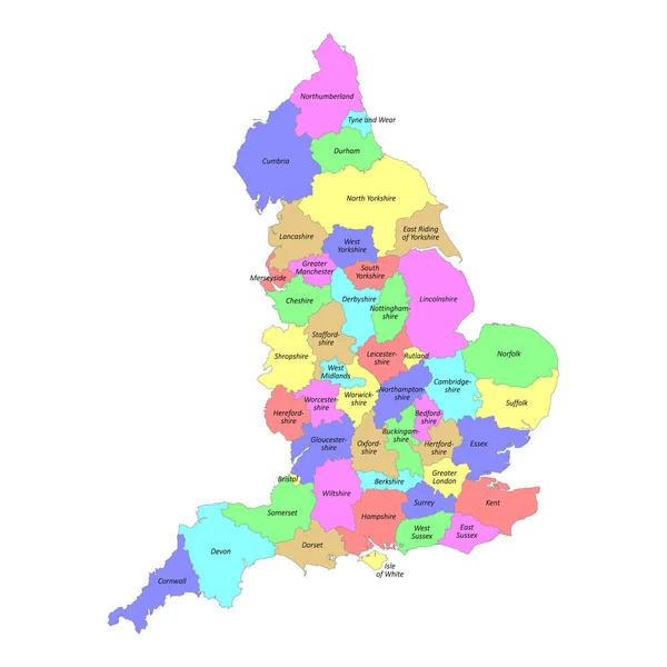
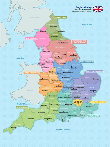
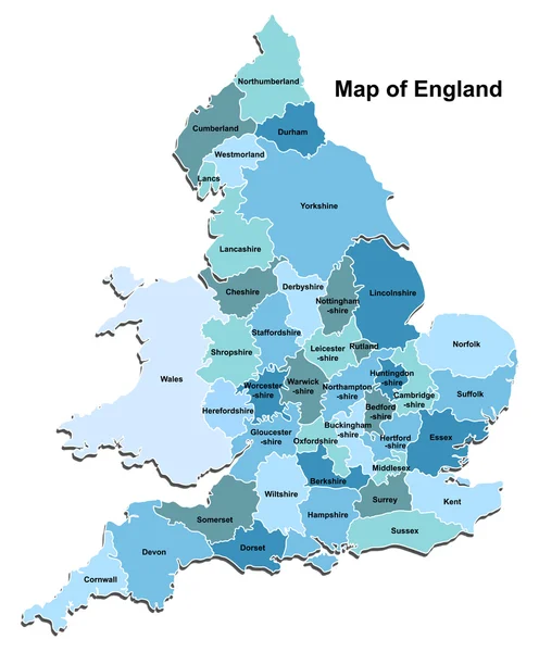
High quality colorful labeled map of England with borders of the counties
High Quality Colorful Labeled Map England Borders Counties — Stock Vector
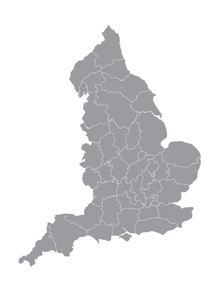
Gray Ceremonial Counties Map of European Country of England
Gray Ceremonial Counties Map European Country England — Stock Vector
United Kingdom travel map
United Kingdom travel map — Stock Vector
United Kingdom road map
United Kingdom road map — Stock Vector
United Kingdom and regions of England
United Kingdom and regions of England — Stock Vector
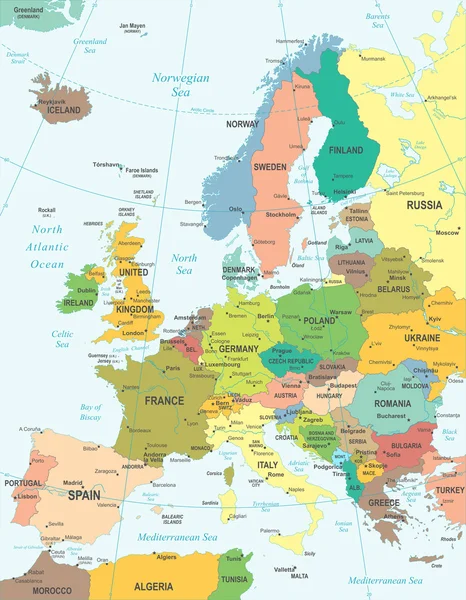
Europe - map - illustration.
Europe - map - illustration. — Stock Vector
Uk map flag
Uk map flag — Stock Vector
Green long shadow United Kingdom map
Green long shadow United Kingdom map — Stock Vector
UK map icon with a student
UK map icon with a student — Stock Vector
Europe map
Europe map — Stock Vector
Europe map
Europe map — Stock Vector
Map of administrative divisions of England.
Map Administrative Divisions England — Stock Vector
United Kingdom map Country icon
United Kingdom map Country icon — Stock Vector
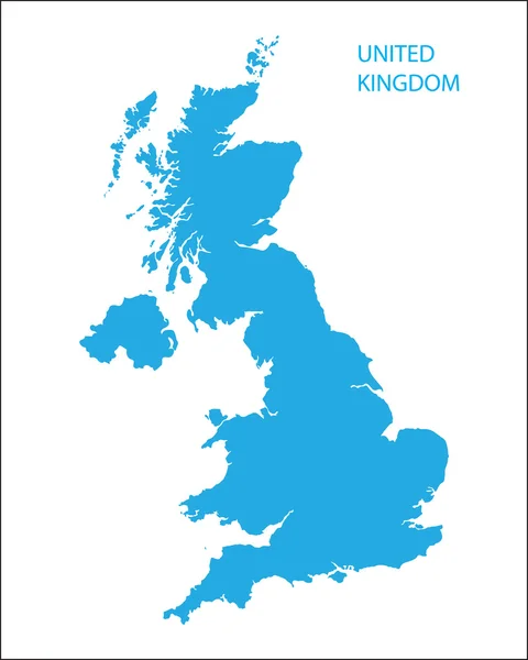
Blue map of United Kingdom
Blue map of United Kingdom — Stock Vector
Map of the UK
Map of the UK — Stock Vector
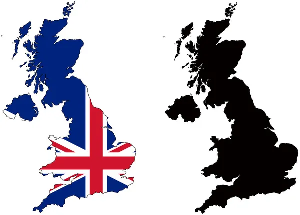
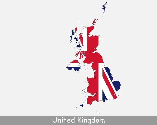
United Kingdom Flag Map. Map of the United Kingdom of Great Britain and Northern Ireland with the British national Union Jack flag isolated on a white background. Vector Illustration.
United Kingdom Flag Map Map United Kingdom Great Britain Northern — Stock Vector
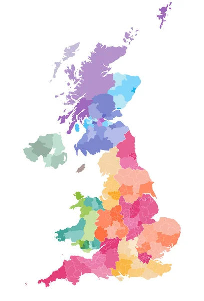
Vector map of United Kingdom administrative divisions colored by countries and regions. Districts and counties map of England, Wales, Scotland and Northern Ireland
Vector Map United Kingdom Administrative Divisions Colored Countries Regions Districts — Stock Vector
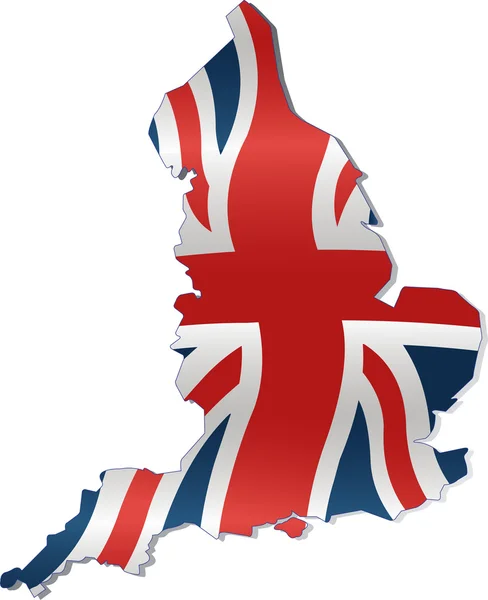
Map of britain illustrated with flag on white background
Map of britain illustrated with flag on white background — Stock Vector
Map of Great Britain
Map of Great Britain — Stock Vector
United kingdom and ireland map in black and white
United kingdom and ireland map in black and white — Stock Vector
Geo location national point label
Geo location national point label — Stock Vector
Vaccine Mosaic Map of Great Britain
Vaccine Mosaic Map of Great Britain — Stock Vector
Europe - map - illustration.
Europe - map - illustration. — Stock Vector
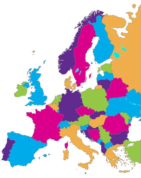
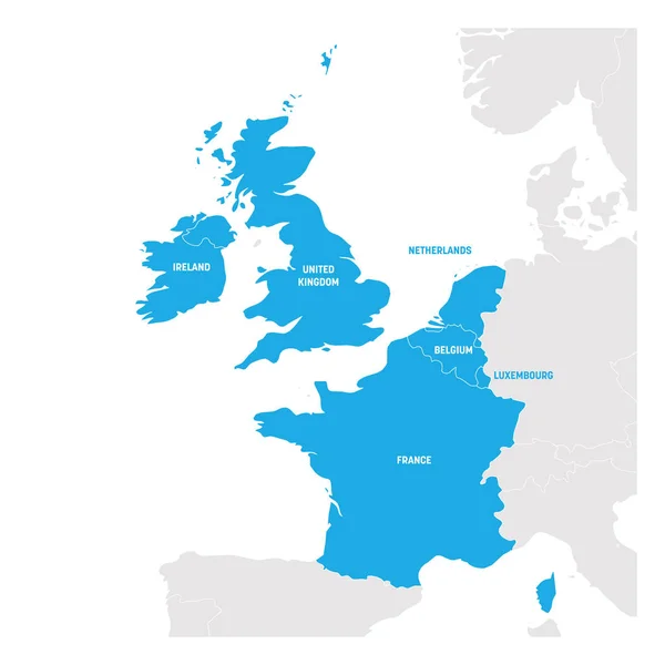
West Europe Region. Map of countries in western Europe. Vector illustration
West Europe Region. Map of countries in western Europe. Vector illustration — Stock Vector
Map of Great Britain
Map of Great Britain — Stock Vector
Grunge Britain flag in heart shape
Grunge Britain flag in heart shape — Stock Vector
Blue map of United Kingdom
Blue map of United Kingdom — Stock Vector
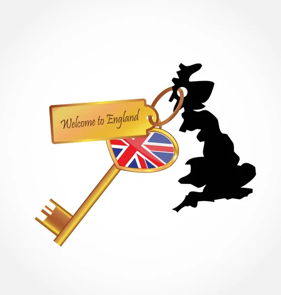
England flag and map ( United Kingdom of Great Britain ) ( combine flag and map ) ( Transportation and tourism concept )
England flag and map ( United Kingdom of Great Britain ) ( combine flag and map ) ( Transportation and tourism concept ) — Stock Vector
UK Map with British Flag
UK Map with British Flag — Stock Vector
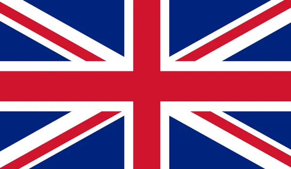
Flag Of United Kingdom
Flag Of United Kingdom — Stock Vector
United Kingdom Flag
United Kingdom Flag — Stock Vector
United Kingdom travel map
United Kingdom travel map — Stock Vector
United Kingdom maps with markers
United Kingdom maps with markers — Stock Vector
Map of England
Map of England — Stock Vector
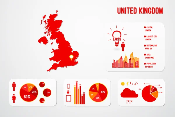
United Kingdom Infographics
United Kingdom Infographics — Stock Vector
Dark Blue, Yellow vector template with chaotic shapes. Simple colorful illustration with abstract gradient shapes. Best smart design for your business.
Dark Blue Yellow Vector Template Chaotic Shapes Simple Colorful Illustration — Stock Vector
United Kingdom map illustration vector detailed United Kingdom map with states
United Kingdom Map Illustration Vector Detailed United Kingdom Map States — Stock Vector
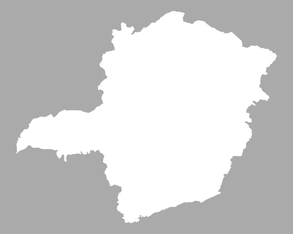
Map of Minas Gerais
Map of Minas Gerais — Stock Vector
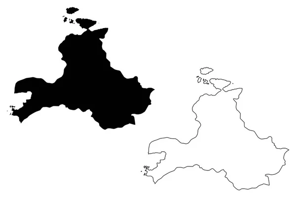
Balikesir (Provinces of the Republic of Turkey) map vector illustration, scribble sketch Balikesir ili map
Balikesir Provinces Republic Turkey Map Vector Illustration Scribble Sketch Balikesir — Stock Vector
Black United Kingdom map
Black United Kingdom map — Stock Vector
Accurate map of Cambodia
Accurate map of Cambodia — Stock Vector
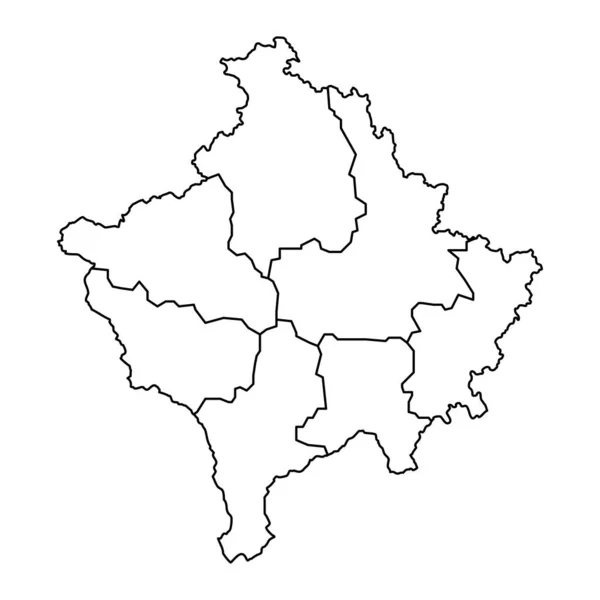
Kosovo map with districts. Vector illustration.
Kosovo Map Districts Vector Illustration — Stock Vector
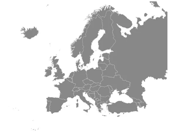
Flat Grey Map of Europe on White Background with National Country Borders
Flat Grey Map Europe White Background National Country Borders — Stock Vector
Dot Stroke England Map
Dot Stroke England Map — Stock Vector
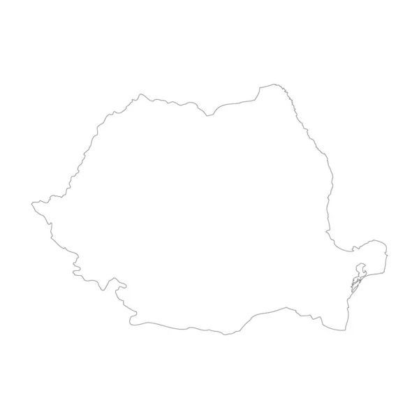
Romania country thin black outline. High detailed map. Vector illustration isolated on white background.
Romania Country Thin Black Outline High Detailed Map Vector Illustration — Stock Vector

Related vector searches

Get the Best UK Map Vector Images for Your Projects

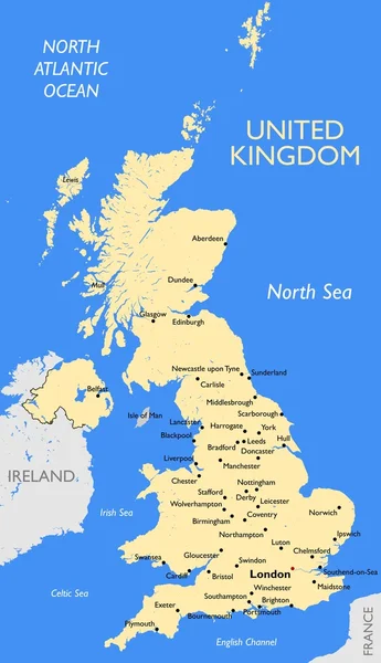
If you're looking for UK map vector images, you've come to the right place. We offer top-quality vector graphics that can be used for a variety of purposes, from website design to printed materials. Our vector images are available in popular file formats like JPG, AI, and EPS. Whether you're working on a personal project or a commercial one, our UK map vector images are just what you need.
The Benefits of Using UK Map Vector Images

There are many reasons why vector images are a great choice for any project. One of the biggest benefits is that they can be resized without losing any quality. This is because vector images are made up of mathematical equations instead of pixels, which means they can be scaled up or down as needed. Vector images are also more versatile than other types of graphics, as they can be easily edited and customized.

When it comes to UK map vector images specifically, there are even more benefits. For one, a vector image of the UK map can help viewers better understand geography and locations. It can also serve as a symbolic representation of the UK, which can be useful for branding purposes. And since our UK map vector images are fully customizable, you can add your own touches to make them unique to your project.

Where to Use UK Map Vector Images

Our UK map vector images can be used in a variety of settings. They are perfect for website design, particularly for travel or location-based websites. They can also be used for printed materials like brochures, posters, and flyers. If you're creating a presentation or slideshow, a UK map vector image can be a great visual aid. And if you're designing a product that has anything to do with the UK, a vector image of the UK map can be a great addition.

How to Choose the Right UK Map Vector Image

Choosing the right UK map vector image for your project can be tricky, but it doesn't have to be. Here are some tips to help you make the right choice:

  • Consider the style of the image. Do you want a more traditional or modern look?
  • Think about the colors used in the image. Do they fit with your project's color scheme?
  • Look for vector images that are scalable to different sizes.
  • Consider the purpose of the image. How will it be used and where?

By following these tips, you can find the perfect UK map vector image for your project. With our selection of high-quality vector graphics, you're sure to find one that fits your needs.