Hungary map Stock Vector Images

100,000 Hungary map vector art & graphics are available under a royalty-free license

  • Best Match
  • Fresh
  • Popular
1-100 of 100,000
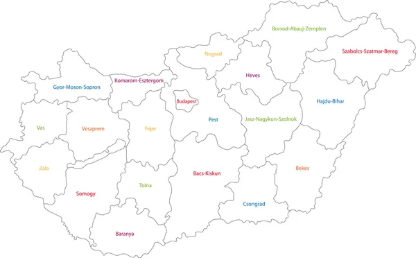
Outline Hungary map
Outline Hungary map — Stock Vector
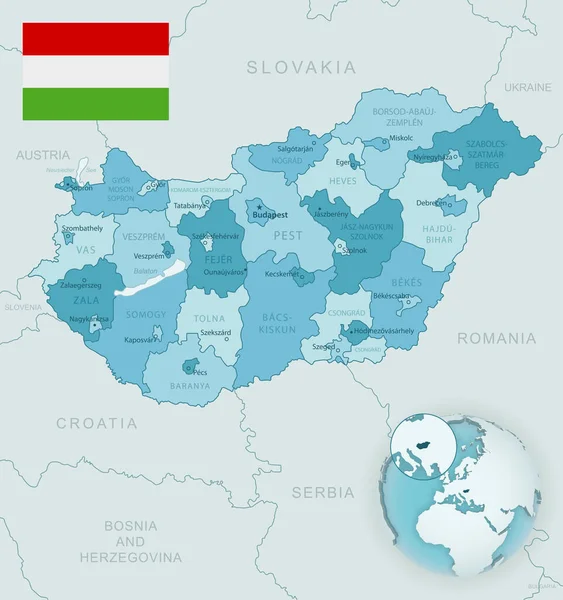
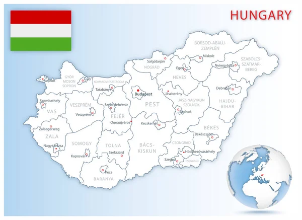
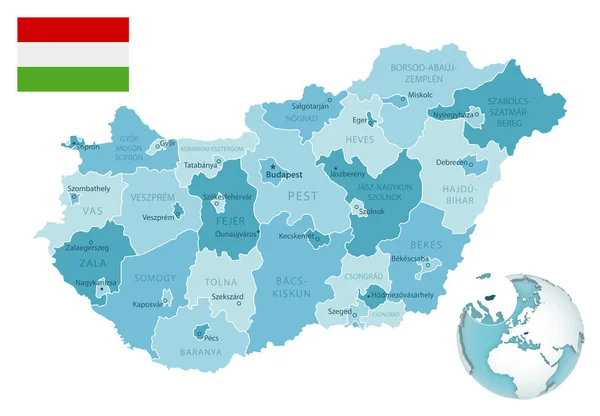
Blue-green detailed map of Hungary administrative divisions with country flag and location on the globe.
Blue-green detailed map of Hungary administrative divisions with country flag and location on the globe. — Stock Vector
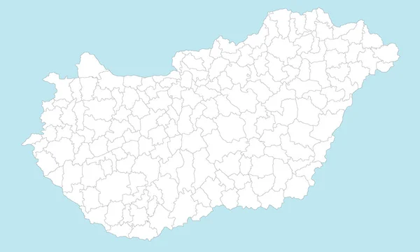
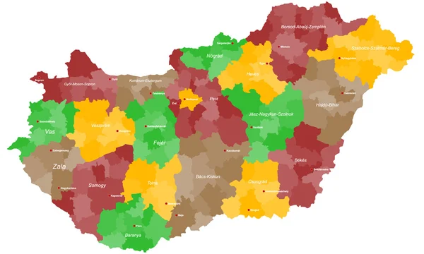
Hungary counties map
Hungary counties map — Stock Vector
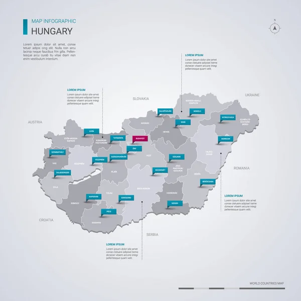
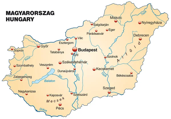
Hungary vector map with infographic elements, pointer marks. Editable template with regions, cities and capital Budapest.
Hungary Vector Map Infographic Elements Pointer Marks Editable Template Regions — Stock Vector
Black map of Hungary
Black map of Hungary — Stock Vector
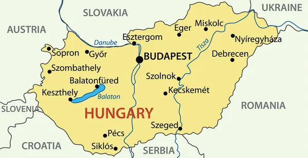
Vector Hungary map
Vector Hungary map — Stock Vector
Hungary map
Hungary map — Stock Vector
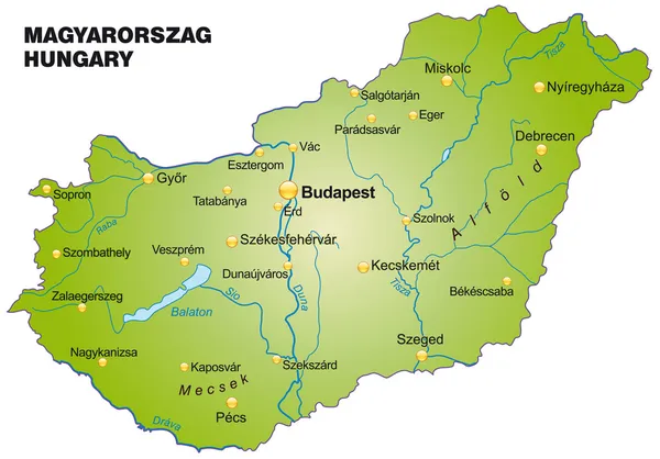
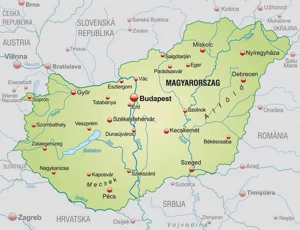
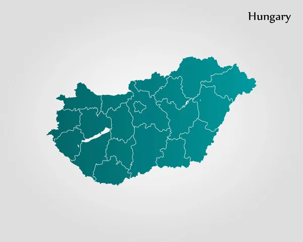
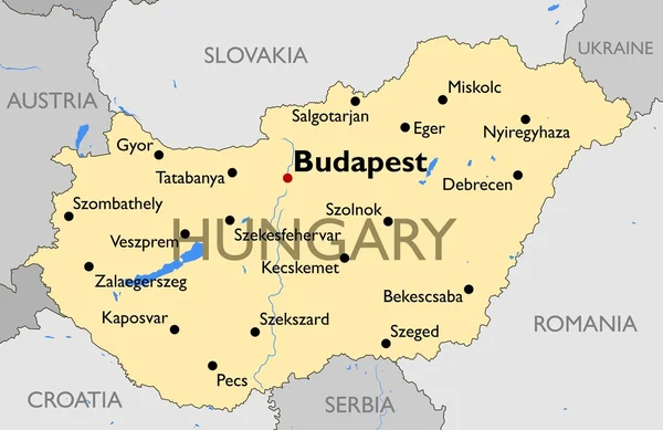
Map of Hungary
Map of Hungary — Stock Vector
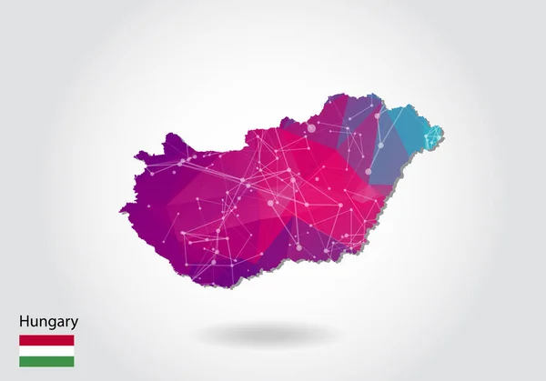
Vector polygonal hungary map. Low poly design. map made of trian
Vector polygonal hungary map. Low poly design. map made of trian — Stock Vector
Map of Hungary
Map of Hungary — Stock Vector
Map of Hungary
Map of Hungary — Stock Vector
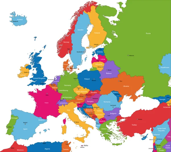
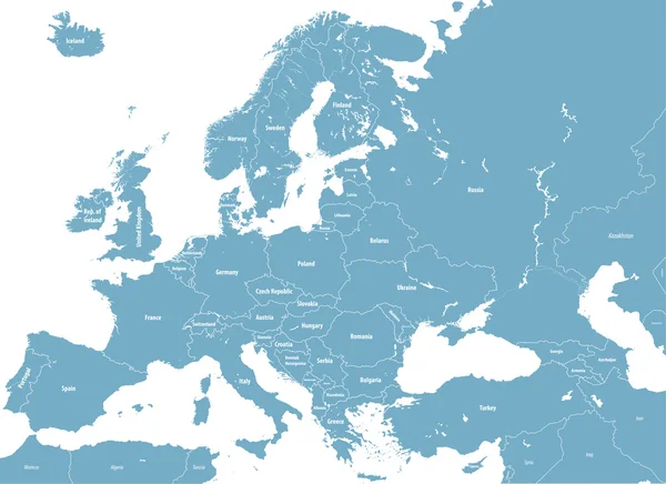
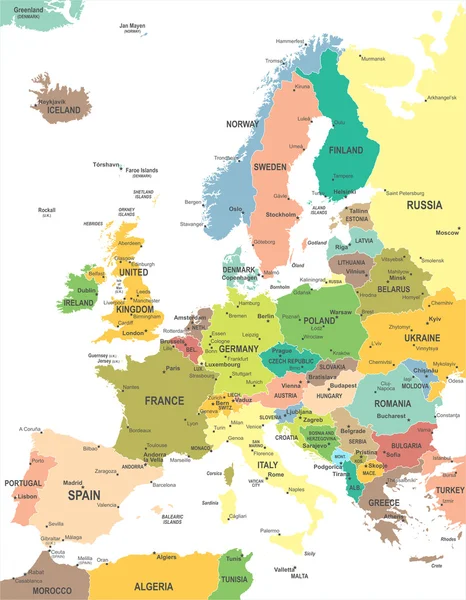
Europe map
Europe map — Stock Vector
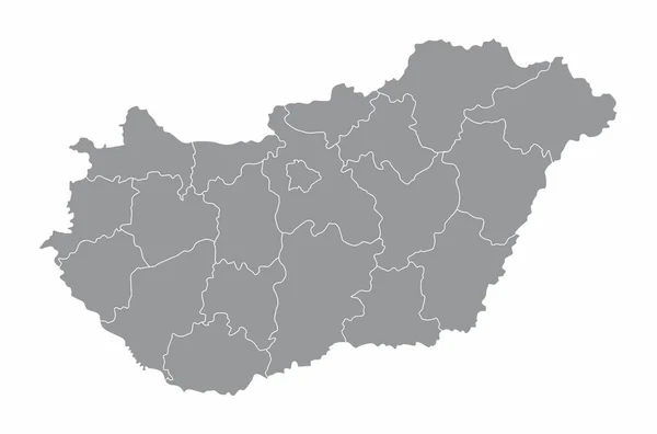
Grey map of Hungary
Grey map of Hungary — Stock Vector
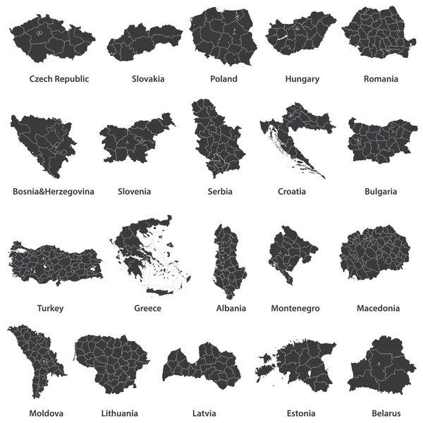
Vector maps of european countries
Vector maps of european countries — Stock Vector
Map of Hungary
Map of Hungary — Stock Vector
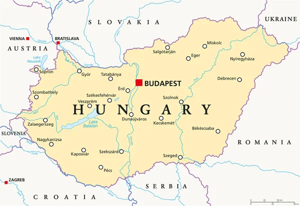
Hungary Political Map
Hungary Political Map — Stock Vector
Hungary map card paper 3D natural vector
Hungary map card paper 3D natural vector — Stock Vector
Hungary map
Hungary map — Stock Vector
Hungary map glass card paper 3D vector
Hungary map glass card paper 3D vector — Stock Vector
Low poly Hungary map illustration with border. Point and geometrical form, structure line comunication concept
Low poly Hungary map illustration with border. Point and geometrical form, structure line comunication concept — Stock Vector
Colors of Hungary
Colors of Hungary — Stock Vector
Map of Hungary with borders in blue
Map of Hungary with borders in blue — Stock Vector
Map of Hungary
Map of Hungary — Stock Vector
Map of Hungary
Map of Hungary — Stock Vector
Hungary map, administrative division with names, old paper background vector
Hungary Map Administrative Division Names Old Paper Background Vector — Stock Vector
Map of Hungary
Map of Hungary — Stock Vector
Vector illustration white map of Hungary on black circle, isolated on white background
Vector illustration white map of Hungary on black circle, isolated on white background — Stock Vector
Hungary
Hungary — Stock Vector
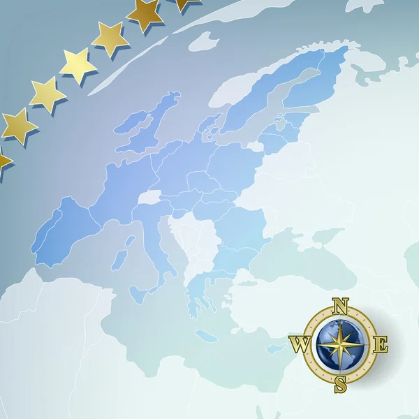
Abstract background with europe map
Abstract background with europe map — Stock Vector
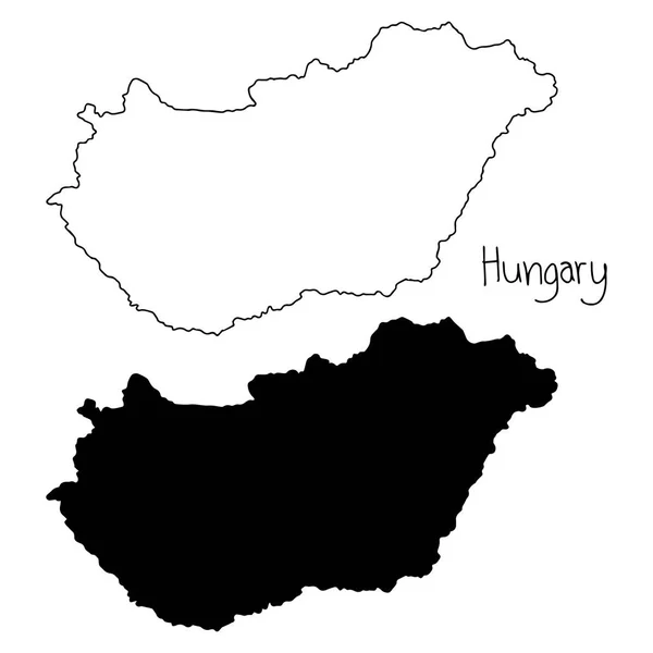
Outline and silhouette map of Hungary - vector illustration hand drawn with black lines, isolated on white backgroundnd
Outline and silhouette map of Hungary - vector illustration hand drawn with black lines, isolated on white backgroundnd — Stock Vector
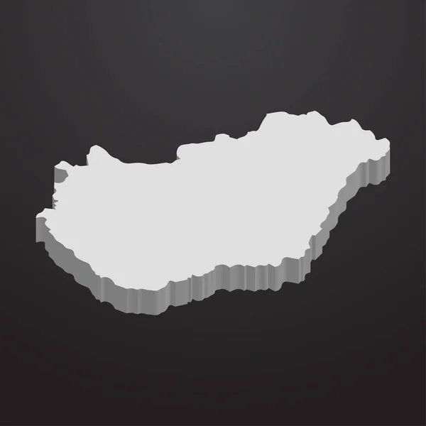
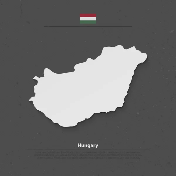
Hungary map in gray on a black background 3d
Hungary map in gray on a black background 3d — Stock Vector
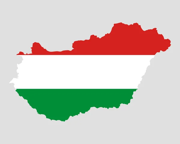
Map and flag of Hungary
Map and flag of Hungary — Stock Vector
Rainbow flag in contour of Hungary
Rainbow flag in contour of Hungary — Stock Vector
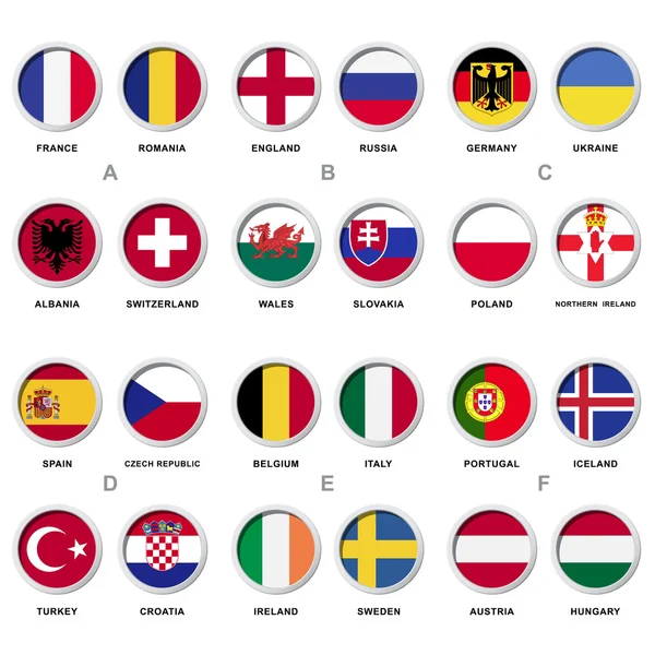
Soccer Balls In Flags icons
Soccer Balls In Flags icons — Stock Vector
Black Hungary map - vector illustration
Black Hungary map - vector illustration — Stock Vector
Low poly Hungary map illustration. Point and geometrical form, structure line comunication concept
Low poly Hungary map illustration. Point and geometrical form, structure line comunication concept — Stock Vector
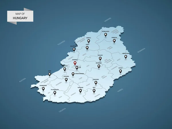
Isometric 3D Hungary map, vector illustration with cities, borders, capital, administrative divisions and pointer marks; gradient blue background. Concept for infographic.
Isometric Hungary Map Vector Illustration Cities Borders Capital Administrative Divisions — Stock Vector
Map of Hungary
Map of Hungary — Stock Vector
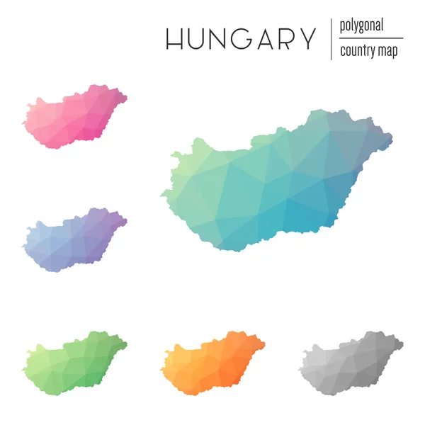
Set of vector polygonal Hungary maps.
Set of vector polygonal Hungary maps. — Stock Vector
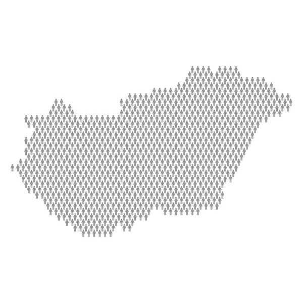
Hungary population infographic. Map made from stick figure people
Hungary population infographic. Map made from stick figure people — Stock Vector
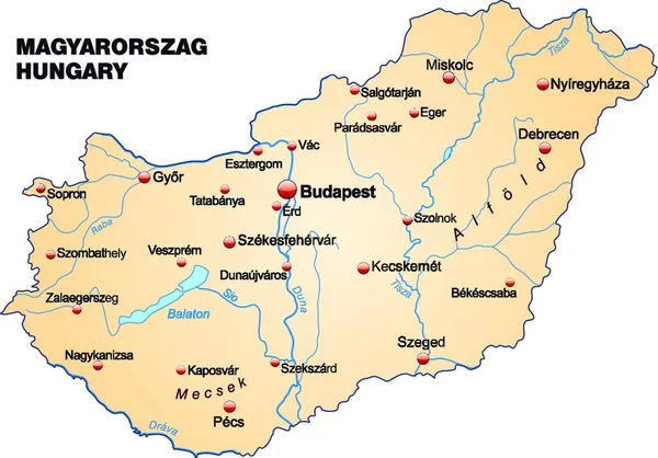
The map is modern and contains all the important topographic information... The card can be used immediately and is optimized for printing and use in digital media. The color mode is RGB.
Map Modern Contains All Important Topographic Information Card Can Used — Stock Vector
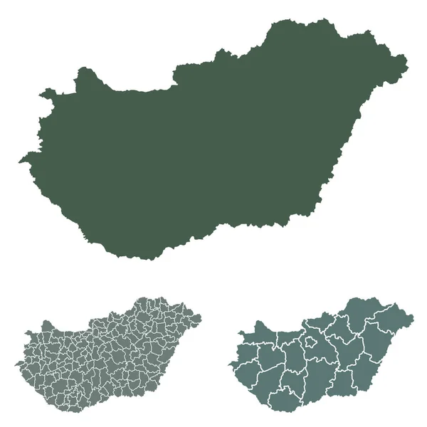
Hungary map outline vector with administrative borders, regions, municipalities, departments in black white colors. Infographic design template map
Hungary Map Outline Vector Administrative Borders Regions Municipalities Departments Black — Stock Vector
Highly detailed editable political map with separated layers. Hungary.
Highly Detailed Editable Political Map Separated Layers Hungary — Stock Vector
Abstract blue background with map, internet line, connected poin
Abstract blue background with map, internet line, connected poin — Stock Vector
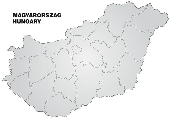
Gray Counties Map of European Country of Hungary
Gray Counties Map European Country Hungary — Stock Vector
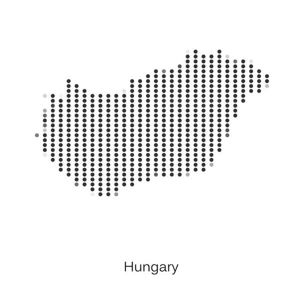
Dotted map of Hungary for your design
Dotted map of Hungary for your design — Stock Vector
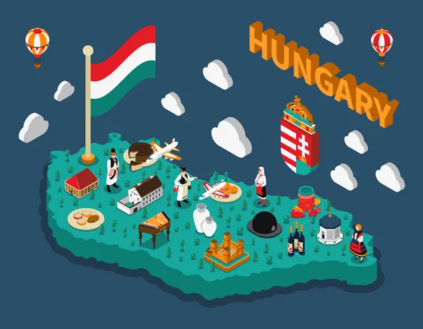
Hungary Isometric Touristic Map
Hungary Isometric Touristic Map — Stock Vector
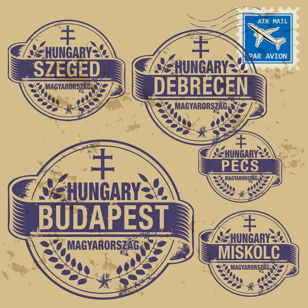
Grunge rubber stamp set with names of Hungary cities
Grunge rubber stamp set with names of Hungary cities — Stock Vector
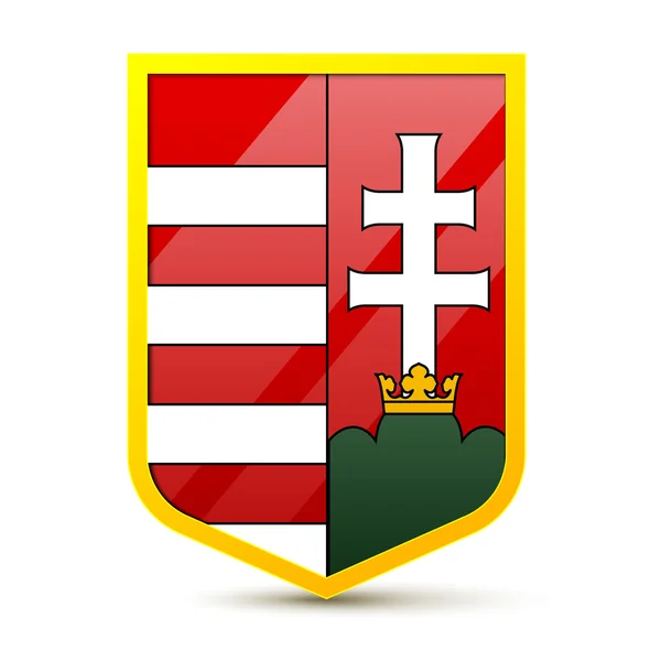
Coat of arms Hungary
Coat of arms Hungary — Stock Vector
Republic of Hungary isolated map and official flag icons. vector Hungaian political map 3d illustration. Central Europe country geographic banner template
Republic of Hungary isolated map and official flag icons. vector Hungaian political map 3d illustration. Central Europe country geographic banner template — Stock Vector
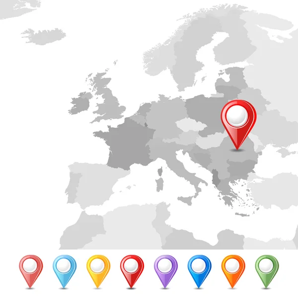
European Union map with pointers
European Union map with pointers — Stock Vector
Map of Hungary
Map of Hungary — Stock Vector
Hungary
Hungary — Stock Vector
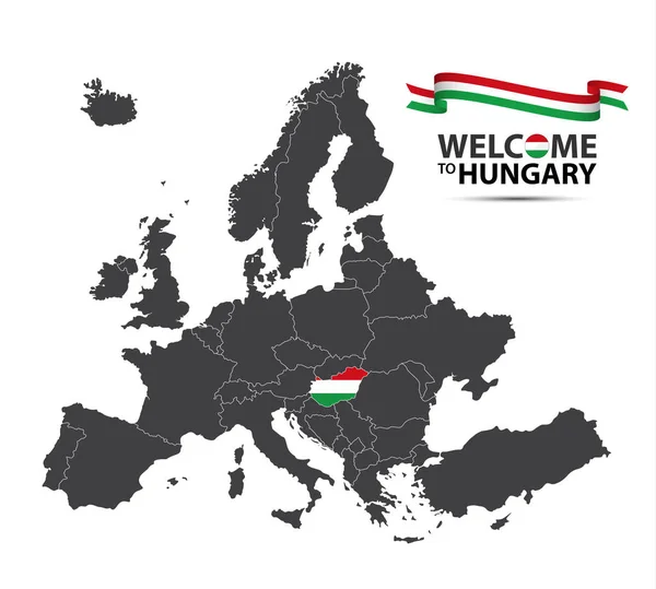
Vector illustration of a map of Europe with the state of Hungary in the appearance of the Hungarian flag and Hungarian ribbon isolated on a white background
Vector illustration of a map of Europe with the state of Hungary in the appearance of the Hungarian flag and Hungarian ribbon isolated on a white background — Stock Vector
Hungary - vector map
Hungary - vector map — Stock Vector
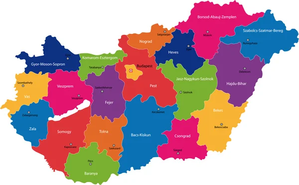
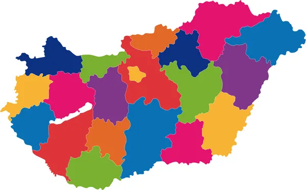
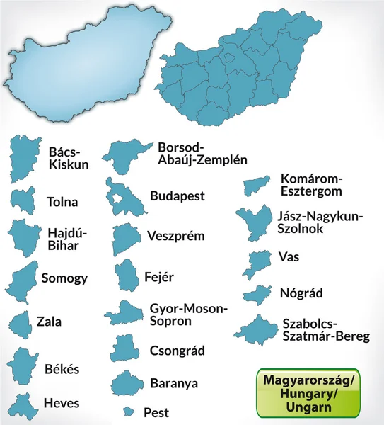
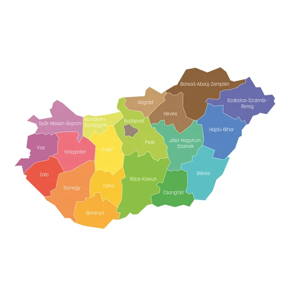
Counties of Hungary. Map of regional country administrative divisions. Colorful vector illustration
Counties of Hungary. Map of regional country administrative divisions. Colorful vector illustration — Stock Vector
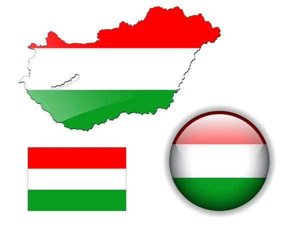
Hungary flag, map and glossy button.
Hungary flag, map and glossy button. — Stock Vector
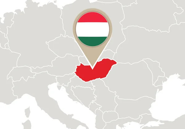
Europe with highlighted Hungary map.
Europe with highlighted Hungary map. — Stock Vector
Map of Hungary
Map of Hungary — Stock Vector
Hungary on Europe map
Hungary on Europe map — Stock Vector
Map of Hungary
Map of Hungary — Stock Vector
Europe high detailed political map. All elements detachable and labeled. Vector
Europe high detailed political map. All elements detachable and labeled. Vector — Stock Vector
Hungary map, black and white detailed outline regions of the country.
Hungary map, black and white detailed outline regions of the country. — Stock Vector
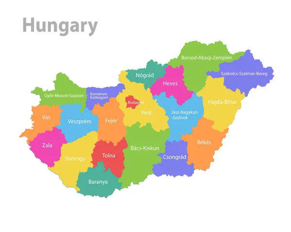
Hungary map, administrative division, separate individual states with state names, color map isolated on white background vector
Hungary Map Administrative Division Separate Individual States State Names Color — Stock Vector
Detailed Hungary administrative map with country flag and location on a blue globe.
Detailed Hungary administrative map with country flag and location on a blue globe. — Stock Vector
Hungary map with regional division
Hungary map with regional division — Stock Vector
Hungary - pencil scribble sketch silhouette map of country area with dropped shadow. Simple flat vector illustration
Hungary - pencil scribble sketch silhouette map of country area with dropped shadow. Simple flat vector illustration — Stock Vector
Hungary administrative blue-green map with country flag and location on a globe.
Hungary administrative blue-green map with country flag and location on a globe. — Stock Vector
Map of Hungary
Map of Hungary — Stock Vector
Hungary map
Hungary map — Stock Vector
Europe - map - illustration.
Europe - map - illustration. — Stock Vector
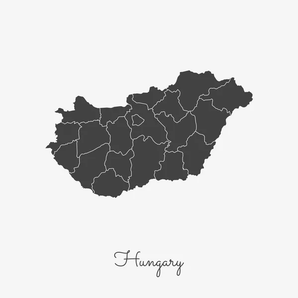
Hungary region map grey outline on white background Detailed map of Hungary regions Vector
Hungary region map grey outline on white background Detailed map of Hungary regions Vector — Stock Vector
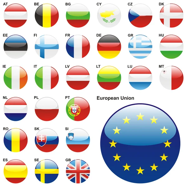
Flags of EU in web button shape
Flags of EU in web button shape — Stock Vector
Outline map of Czech Republic
Outline Map Czech Republic — Stock Vector
Mongolia map country icon
Mongolia map country icon — Stock Vector
Sumadija district map, administrative district of Serbia. Vector illustration.
Sumadija District Map Administrative District Serbia Vector Illustration — Stock Vector
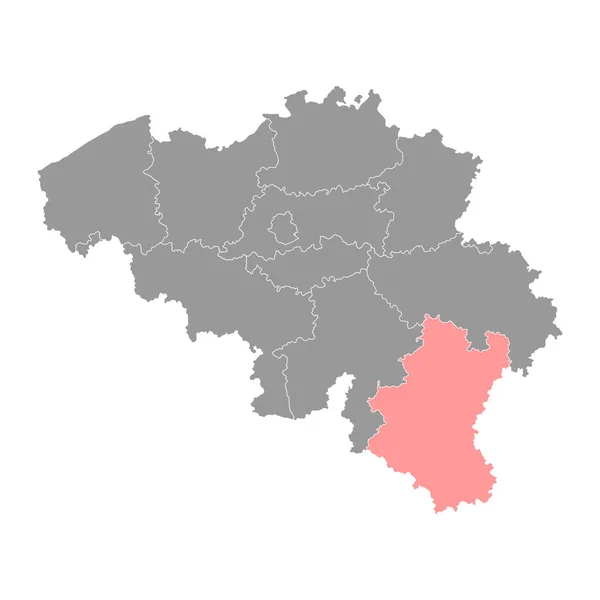
Luxembourg province map, Belgium provinces. Vector illustration.
Luxembourg Province Map Belgium Provinces Vector Illustration — Stock Vector
Accurate map of Mongolia
Accurate map of Mongolia — Stock Vector
Austria map colorful country icon
Austria Map Colorful Country Icon — Stock Vector
Stencil map of South Sudan Simple and minimal transparent map of South Sudan Black rectangle with
Stencil map of South Sudan Simple and minimal transparent map of South Sudan Black rectangle with — Stock Vector
Map of Lithuania Mosaic style map with flag of Lithuania Posh vector illustration
Map of Lithuania Mosaic style map with flag of Lithuania Posh vector illustration — Stock Vector
Belgium Map - Vector Solid Contour and State Regions. Illustration
Belgium Map Vector Solid Contour State Regions Illustration — Stock Vector
Black flat blank highlighted location map of the POLTAVA RAION inside gray raions map of the Ukrainian administrative area of Poltava Oblast, Ukraine
Black Flat Blank Highlighted Location Map Poltava Raion Gray Raions — Stock Vector
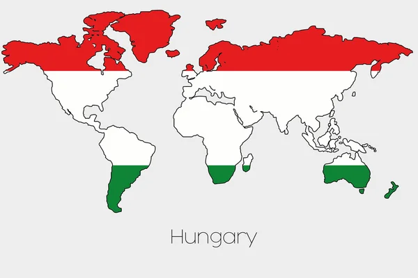
Flag Illustration inside the shape of a world map of the country
Flag Illustration inside the shape of a world map of the country — Stock Vector
Vector map Czech Republic. Isolated vector Illustration. Black on White background. EPS 10 Illustration.
Vector Map Czech Republic Isolated Vector Illustration Black White Background — Stock Vector
Northern Ireland map country
Northern Ireland map country — Stock Vector
Kazakhstan - grey 3d-like silhouette map of country area with dropped shadow. Simple flat vector illustration
Kazakhstan - grey 3d-like silhouette map of country area with dropped shadow. Simple flat vector illustration — Stock Vector
Map of Ukraine with Crimea peninsula, Donetsk and Lugansk
Map of Ukraine with Crimea peninsula, Donetsk and Lugansk — Stock Vector
White Districts Map of European Country of Kosovo
White Districts Map European Country Kosovo — Stock Vector
Map of Minas Gerais
Map of Minas Gerais — Stock Vector
Mongolia map outline vector with administrative borders, regions, municipalities, departments in black white colors. Infographic design template map.
Mongolia Map Outline Vector Administrative Borders Regions Municipalities Departments Black — Stock Vector
Lithuania gray map with counties. Vector illustration.
Lithuania Gray Map Counties Vector Illustration — Stock Vector
Aichi Japan map icon
Aichi Japan map icon — Stock Vector
Cheshire county administrative map isolated on white background, England
Cheshire County Administrative Map Isolated White Background England — Stock Vector
Vector illustration of grey Czech map. Vector map.
Vector illustration of grey Czech map. Vector map. — Stock Vector
Vector illustration of maps of Belgium
Vector illustration of maps of Belgium — Stock Vector
Country Shape Illustration of Belarus
Country Shape Illustration of Belarus — Stock Vector
Poland map outline vector with administrative borders, regions, municipalities, departments in black white colors. Infographic design template map.
Poland Map Outline Vector Administrative Borders Regions Municipalities Departments Black — Stock Vector
Nilgiris district (Tamil Nadu State, Republic of India) map vector illustration, scribble sketch Nilgiri map
Nilgiris District Tamil Nadu State Republic India Map Vector Illustration — Stock Vector
Guinea vector country map silhouette
Guinea vector country map silhouette — Stock Vector

Find the Perfect Hungary Map Vector for Your Project

If you're in search of a high-quality vector image of Hungary's map, you've come to the right place. Our collection of Hungary map vectors includes a wide range of graphics that are perfect for various projects such as posters, brochures, websites, presentations, and more.

Types of Hungary Map Vectors Available

Our selection includes several different types of Hungary map vectors to suit your needs, including:

  • Minimalistic maps
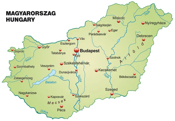
  • Detailed maps with cities and regions labeled
  • Vector maps with a political division of Hungary
  • Maps with physical features like rivers and mountains

Each type of Hungary map vector has its unique characteristics that make it ideal for specific projects. For example, minimalistic maps work well for a modern, clean look, while detailed maps are great for educational purposes.

File Formats and Usage

All of our Hungary map vectors come in three file formats: JPG, AI, and EPS. They are all fully scalable, so you can resize them without losing image quality.

When it comes to usage, you are free to adapt and customize the maps to fit your needs. You can add your company logo, change the colors, or add labels and text. Our Hungary map vectors are versatile and can be used for both personal and commercial projects.

Why Choose Our Hungary Map Vectors?

There are plenty of reasons why you should choose our Hungary map vectors. First and foremost, they are of exceptional quality. We take great care in ensuring that all of our vector files are of the highest standards.

Secondly, our collection is extensive, giving you plenty of options to choose from. Whether you're looking for a minimalist design or a detailed map with labels, we have you covered.

Finally, our Hungary map vectors are incredibly versatile and can be used in a wide range of projects. You won't have to worry about copyright issues or licensing fees when you purchase our vectors.

Tips for Using Hungary Map Vectors

To make the most of our Hungary map vectors, there are a few tips you should keep in mind:

  • Choose the right type of Hungary map vector for your project
  • Be mindful of the colors you use to ensure readability
  • When adding labels and text, use legible fonts
  • Take advantage of the scalability feature to resize the vector to fit your design needs

By keeping these tips in mind, you can create stunning designs using our Hungary map vectors.

Conclusion

If you're looking for a collection of high-quality Hungary map vectors, our selection offers a wide range of options to suit your needs. With our files available in JPG, AI, and EPS formats, you have the freedom to customize and adapt them to fit your design requirements. Whether you're a graphic designer, marketer, or educator, our Hungary map vectors are perfect for a diverse range of projects.