Macedonia map Stock Vector Images

100,000 Macedonia map vector art & graphics are available under a royalty-free license

  • Best Match
  • Fresh
  • Popular
1-100 of 100,000
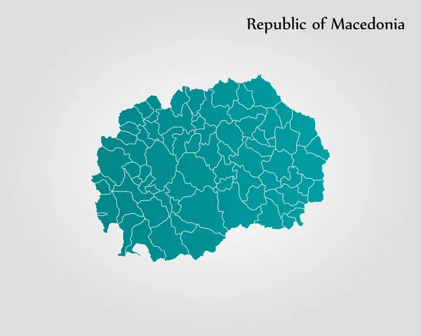
Map of Macedonia
Map of Macedonia — Stock Vector
Golden Rotated Square Pattern Map of Macedonia
Golden Rotated Square Pattern Map of Macedonia — Stock Vector
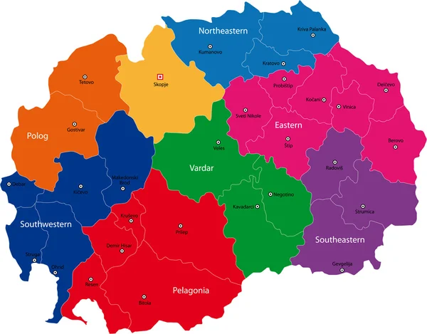
Vector Macedonia map
Vector Macedonia map — Stock Vector
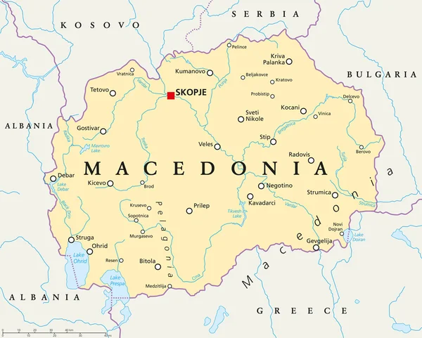
Macedonia Political Map
Macedonia Political Map — Stock Vector
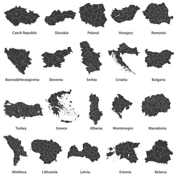
Vector maps of european countries
Vector maps of european countries — Stock Vector
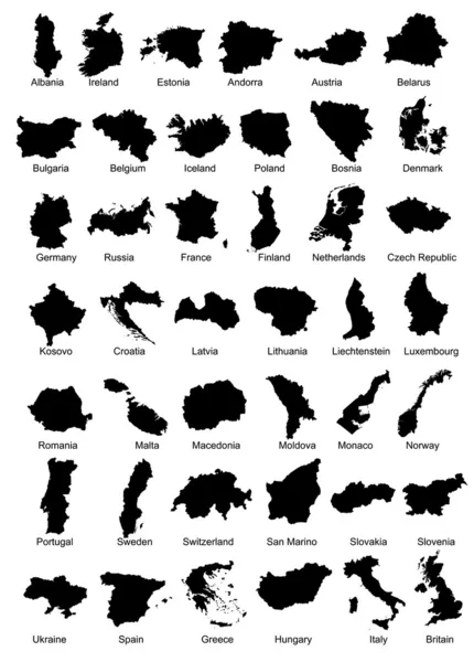
42 Europe Country Maps
42 Europe Country Maps — Stock Vector
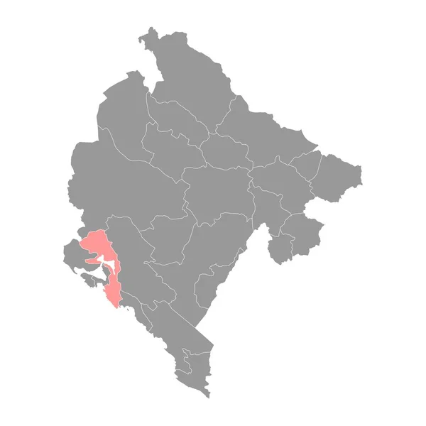
Kotor municipality map, administrative subdivision of Montenegro. Vector illustration.
Kotor Municipality Map Administrative Subdivision Montenegro Vector Illustration — Stock Vector
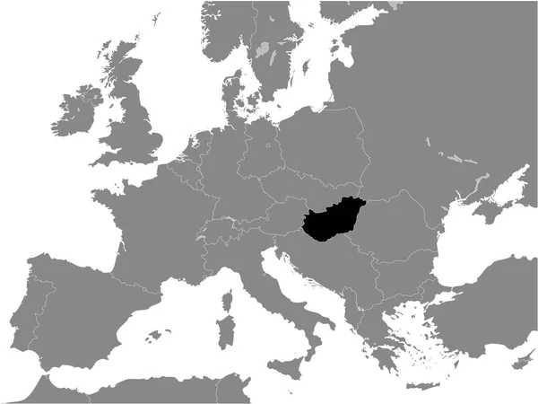
Black Flat Map of People's Republic of Hungary (year 1956-1990) inside Gray Map of European Continent
Black Flat Map People Republic Hungary Year 1956 1990 Gray — Stock Vector
Mongolia map country icon
Mongolia map country icon — Stock Vector
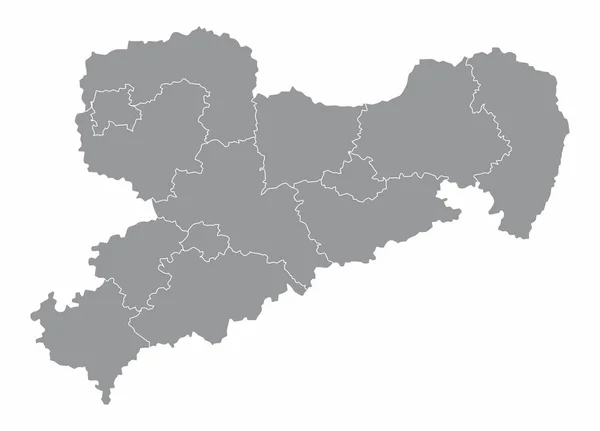
Saxony State map
Saxony State map — Stock Vector
Black flat blank highlighted location map of the LENGFELD DISTRICT inside gray administrative map of Wrzburg, Germany
Black Flat Blank Highlighted Location Map Lengfeld District Gray Administrative — Stock Vector
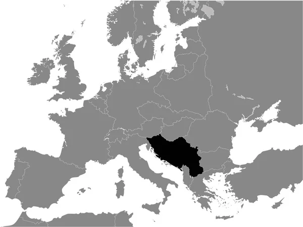
Black Flat Map of Kingdom of Yugoslavia (year 1930) inside Gray Map of European Continent
Black Flat Map Kingdom Yugoslavia Year 1930 Gray Map European — Stock Vector
Black flat blank highlighted location map of the VERSBACH DISTRICT inside gray administrative map of Wrzburg, Germany
Black Flat Blank Highlighted Location Map Versbach District Gray Administrative — Stock Vector
Posavina canton map, administrative district of Federation of Bosnia and Herzegovina. Vector illustration.
Posavina Canton Map Administrative District Federation Bosnia Herzegovina Vector Illustration — Stock Vector
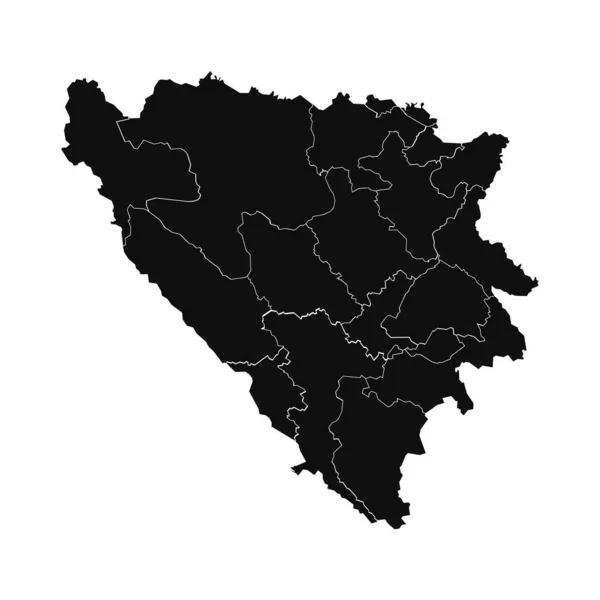
Bosnia and Herzegovina administrative map isolated on white background
Bosnia Herzegovina Administrative Map Isolated White Background — Stock Vector
Map of Turkey, Mardin
Map of Turkey, Mardin — Stock Vector
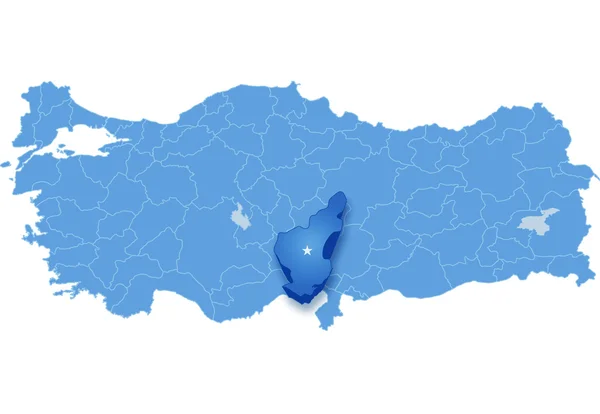
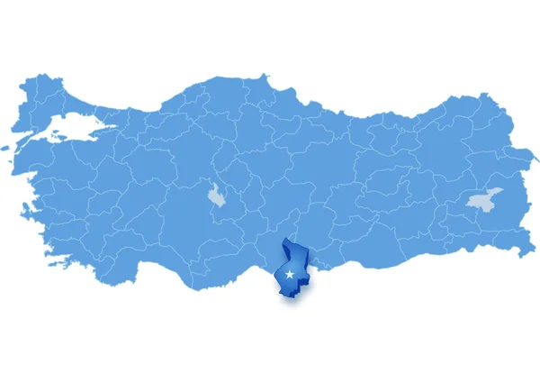
Map of Turkey where Adana province is pulled out
Map of Turkey where Adana province is pulled out — Stock Vector
Black Flat Map of Bulgarian Empire (year 814) inside Gray Map of European Continent
Black Flat Map Bulgarian Empire Year 814 Gray Map European — Stock Vector
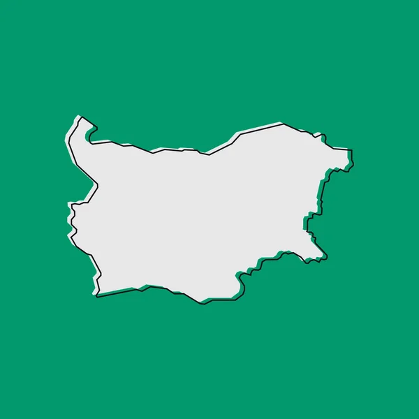
Vector Illustration of the Map of Bulgaria on green Background
Vector Illustration Map Bulgaria Green Background — Stock Vector
Azerbaijan Map. Black silhouette country map isolated on white background. Black outline on white background. Vector based
Azerbaijan Map Black Silhouette Country Map Isolated White Background Black — Stock Vector
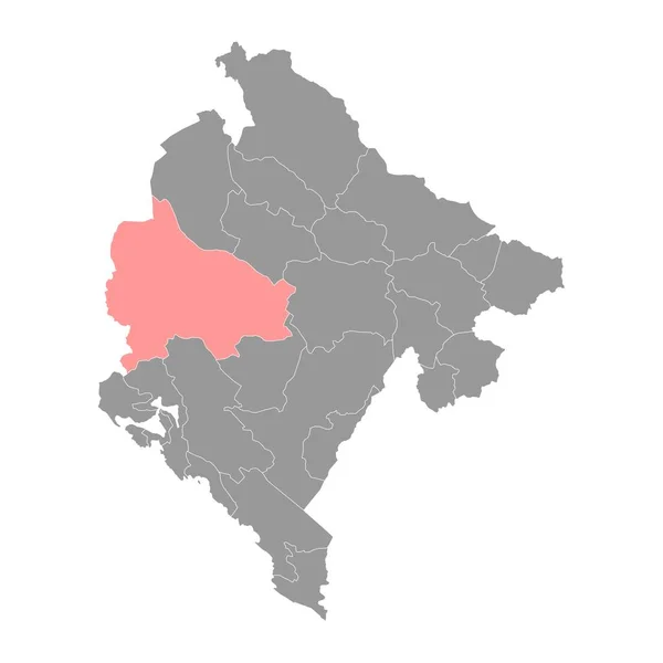
Niksic Municipality map, administrative subdivision of Montenegro. Vector illustration.
Niksic Municipality Map Administrative Subdivision Montenegro Vector Illustration — Stock Vector
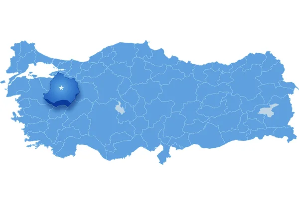
Map of Turkey, Kutahya
Map of Turkey, Kutahya — Stock Vector
Black flat blank highlighted location map of the POLTAVA RAION inside gray raions map of the Ukrainian administrative area of Poltava Oblast, Ukraine
Black Flat Blank Highlighted Location Map Poltava Raion Gray Raions — Stock Vector
Black Flat Map of Voivodeship of Moldavia (year 1812) inside Gray Map of European Continent
Black Flat Map Voivodeship Moldavia Year 1812 Gray Map European — Stock Vector
Aichi Japan map icon
Aichi Japan map icon — Stock Vector
Illustrated Country Shape of Kazakhstan
Illustrated Country Shape of Kazakhstan — Stock Vector
Bosnia and Herzegovina grey map with administrative districts. Vector illustration.
Bosnia Herzegovina Grey Map Administrative Districts Vector Illustration — Stock Vector
Illustrated Country Shape of Belgium
Illustrated Country Shape of Belgium — Stock Vector
Czech Republic Map - Vintage Detailed Vector Illustration
Czech Republic Map - Vintage Detailed Vector Illustration — Stock Vector
Black location map of the Dominican Mara Trinidad Snchez province inside gray map of the Dominican Republic
Black Location Map Dominican Mara Trinidad Snchez Province Gray Map — Stock Vector
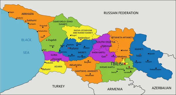
Colorful Georgia political map with clearly labeled, separated layers. Vector illustration.
Colorful Georgia Political Map Clearly Labeled Separated Layers Vector Illustration — Stock Vector
Dominican Republic administrative map isolated on white background
Dominican Republic Administrative Map Isolated White Background — Stock Vector
Augshdaugava Municipality map, administrative division of Latvia. Vector illustration.
Augshdaugava Municipality Map Administrative Division Latvia Vector Illustration — Stock Vector
Upper Carniola map, region of Slovenia. Vector illustration.
Upper Carniola Map Region Slovenia Vector Illustration — Stock Vector
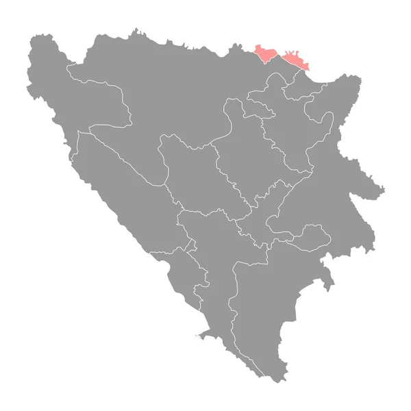
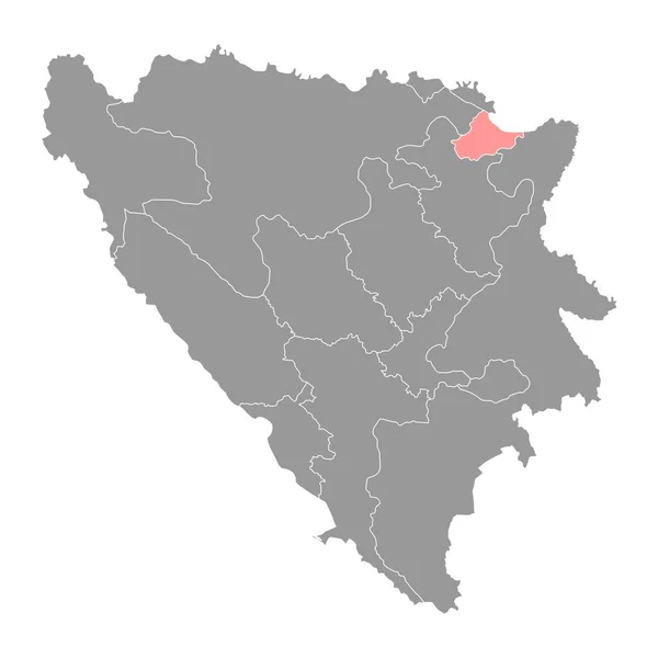
Brcko District map, administrative district of Federation of Bosnia and Herzegovina. Vector illustration.
Brcko District Map Administrative District Federation Bosnia Herzegovina Vector Illustration — Stock Vector
Black location map of the Dominican Barahona province inside gray map of the Dominican Republic
Black Location Map Dominican Barahona Province Gray Map Dominican Republic — Stock Vector
Black Flat Map of Czechoslovak Republic (year 1938) inside Gray Map of European Continent
Black Flat Map Czechoslovak Republic Year 1938 Gray Map European — Stock Vector
High quality map of Bosnia with borders of the regions on white background
High Quality Map Bosnia Borders Regions White Background — Stock Vector
Mongolia country map icon
Mongolia Country Map Icon — Stock Vector
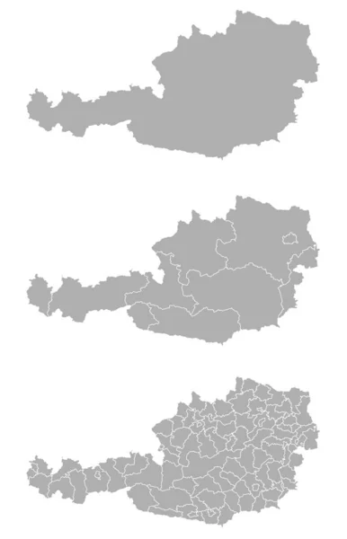
Three detailed vector maps of Austrian administrative regions and areas in grey color
Three Detailed Vector Maps Austrian Administrative Regions Areas Grey Color — Stock Vector
Black location map of the Panorama municipal unit inside gray urban municipal units map of the Greek regional capital city of Thessaloniki, Greece
Black Location Map Panorama Municipal Unit Gray Urban Municipal Units — Stock Vector
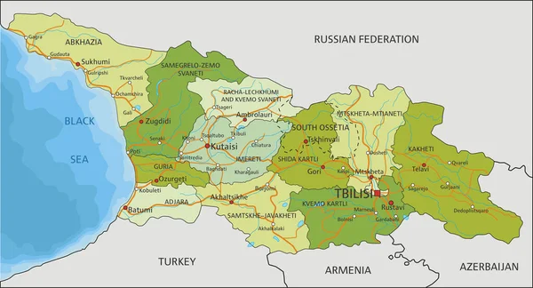
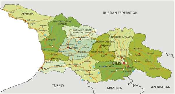
Highly detailed editable political map with separated layers. Georgia.
Highly Detailed Editable Political Map Separated Layers Georgia — Stock Vector
Map of the country
Map of the country — Stock Vector
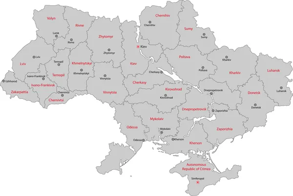
Ukraine map illustration
Ukraine map illustration — Stock Vector
Malanje Province map vecto
Malanje Province map vecto — Stock Vector
Map of Turkey, Hatay
Map of Turkey, Hatay — Stock Vector
Grey Municipalities Map of European Country of Latvia
Grey Municipalities Map European Country Latvia — Stock Vector
Black flat blank highlighted location map of the STEINBACHTAL DISTRICT inside gray administrative map of Wrzburg, Germany
Black Flat Blank Highlighted Location Map Steinbachtal District Gray Administrative — Stock Vector
Austria map colorful country icon
Austria Map Colorful Country Icon — Stock Vector
Black Flat Map of Kingdom of Hungary (year 1928-1938) inside Gray Map of European Continent
Black Flat Map Kingdom Hungary Year 1928 1938 Gray Map — Stock Vector
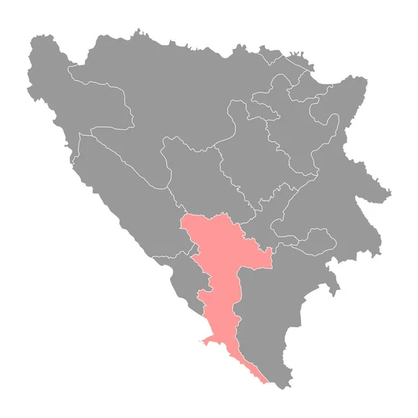
Herzegovina Neretva canton map, administrative district of Federation of Bosnia and Herzegovina. Vector illustration.
Herzegovina Neretva Canton Map Administrative District Federation Bosnia Herzegovina Vector — Stock Vector
Vector illustration of grey Bosnia and Herzegovina map.
Vector illustration of grey Bosnia and Herzegovina map. — Stock Vector
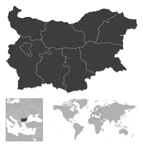
Bulgaria - detailed country outline and location on world map. Vector illustration
Bulgaria Detailed Country Outline Location World Map Vector Illustration — Stock Vector
Highly detailed editable political map with separated layers. Georgia.
Highly Detailed Editable Political Map Separated Layers Georgia — Stock Vector
Nicaragua map country
Nicaragua map country — Stock Vector
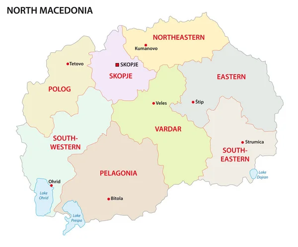
North macedonia administrative and political vector map
North Macedonia Administrative Political Vector Map — Stock Vector
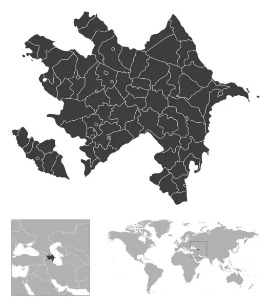
Azerbaijan - detailed country outline and location on world map. Vector illustration
Azerbaijan Detailed Country Outline Location World Map Vector Illustration — Stock Vector
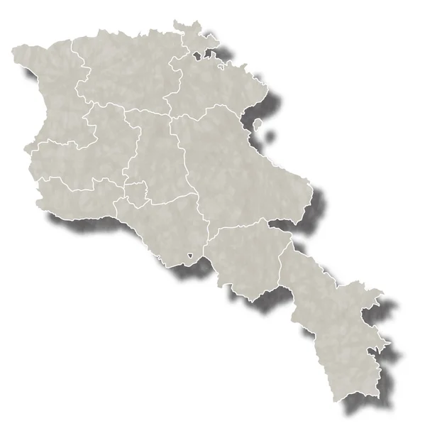
Armenia map with administrative divisions.
Armenia Map Administrative Divisions — Stock Vector
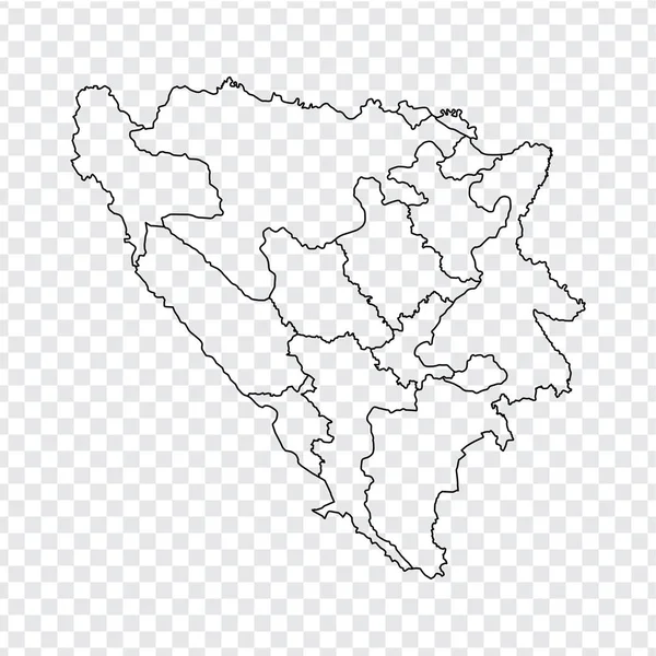
Blank map Bosnia and Herzegovina. High quality map of Bosnia and Herzegovina with provinces on transparent background for your web site design, logo, app, UI. Stock vector. Vector illustration EPS10.
Blank map Bosnia and Herzegovina. High quality map of  Bosnia and Herzegovina with provinces on transparent background for your web site design, logo, app, UI. Stock vector. Vector illustration EPS10. — Stock Vector
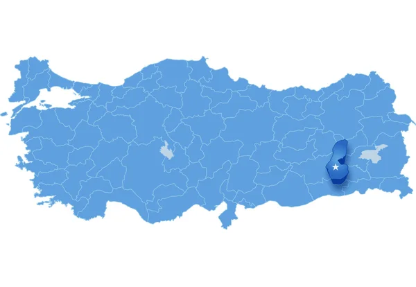
Map of Turkey, Igdir
Map of Turkey, Igdir — Stock Vector
Sadarak district map, administrative division of Azerbaijan.
Sadarak District Map Administrative Division Azerbaijan — Stock Vector
Black Location Map of Ukrainian Region (Oblast) of Chernihiv within Grey Map of Ukraine
Black Location Map Ukrainian Region Oblast Chernihiv Grey Map Ukraine — Stock Vector
Romania Icon with Four Color Variations
Romania Icon with Four Color Variations — Stock Vector
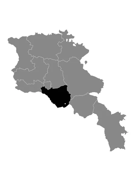
Black Location Map of Armenian Province of Ararat within Grey Map of Armenia
Black Location Map Armenian Province Ararat Grey Map Armenia — Stock Vector
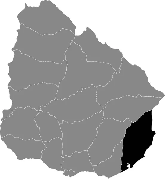
Black Location Map of the Uruguayan Department of Rocha within Grey Map of Uruguay
Black Location Map Uruguayan Department Rocha Grey Map Uruguay — Stock Vector
Sud-Est department (Republic of Haiti, Hayti, Hispaniola, Departments of Haiti) map vector illustration, scribble sketch Sud-Est ma
Sud-Est department (Republic of Haiti, Hayti, Hispaniola, Departments of Haiti) map vector illustration, scribble sketch Sud-Est ma — Stock Vector
Ardahan (Provinces of the Republic of Turkey) map vector illustration, scribble sketch Ardahan ili map
Ardahan Provinces Republic Turkey Map Vector Illustration Scribble Sketch Ardahan — Stock Vector
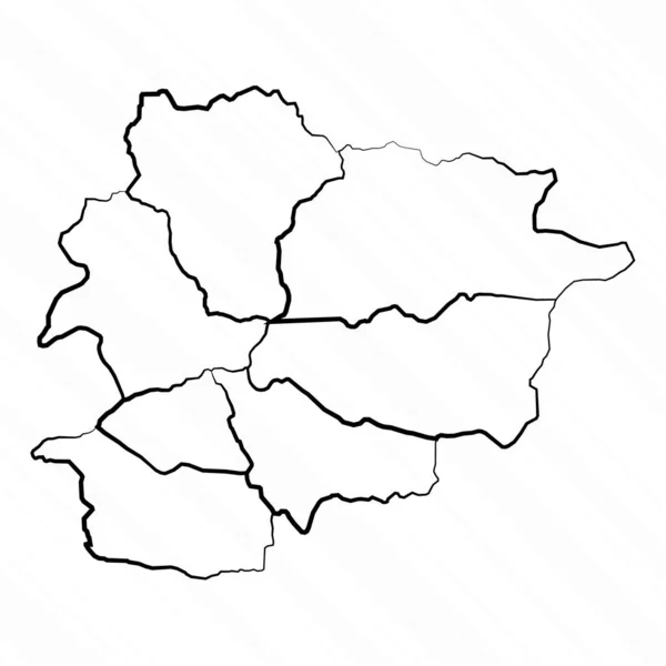
Hand Drawn Andorra Map Illustration
Hand Drawn Andorra Map Illustration — Stock Vector
Armenia map city icon
Armenia map city icon — Stock Vector
Map of Turkey, Batman
Map of Turkey, Batman — Stock Vector
Blank map Croatia. High quality map of Croatia on gray background. Map of Croatia with the provinces. Stock vector. Vector illustration EPS10.
Blank Map Croatia High Quality Map Croatia Gray Background Map — Stock Vector
Wakayama Japan map icon
Wakayama Japan map icon — Stock Vector
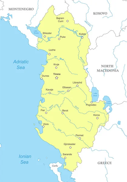
Political map of Albania with national borders, cities and rivers
Political Map Albania National Borders Cities Rivers — Stock Vector
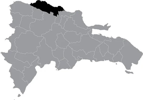
Black location map of the Dominican Puerto Plata province inside gray map of the Dominican Republic
Black Location Map Dominican Puerto Plata Province Gray Map Dominican — Stock Vector
Japan map japan map
Japan map japan map — Stock Vector
Bosnia and Herzegovina Country Outline
Bosnia and Herzegovina Country Outline — Stock Vector
Black Location Map of the Colombian Department of La Guajira within Grey Map of Colombia
Black Location Map Colombian Department Guajira Grey Map Colombia — Stock Vector
Map of Austria situated in Europe
Map Austria Situated Europe — Stock Vector
3D map on blue water background of Bulgaria
3D map on blue water background of  Bulgaria — Stock Vector
Modern Light Blue Color High Detailed Border Map Of Armenia Isolated on Blue Background Vector
Modern Light Blue Color High Detailed Border Map Armenia Isolated — Stock Vector
Tivat municipality map, administrative subdivision of Montenegro. Vector illustration.
Tivat Municipality Map Administrative Subdivision Montenegro Vector Illustration — Stock Vector
Black Flat Map of Socialist Republic of Romania (year 1956-1990) inside Gray Map of European Continent
Black Flat Map Socialist Republic Romania Year 1956 1990 Gray — Stock Vector
Croatia Map - Vintage Detailed Vector Illustration
Croatia Map - Vintage Detailed Vector Illustration — Stock Vector
Blank map Montenegro. High quality map of Montenegro with provinces on transparent background for your web site design, logo, app, UI. Stock vector. Vector illustration EPS10.
Blank map Montenegro. High quality map of  Montenegro with provinces on transparent background for your web site design, logo, app, UI. Stock vector. Vector illustration EPS10. — Stock Vector
Map of Turkey, Canakkale
Map of Turkey, Canakkale — Stock Vector
Abstract Bosnia and Herzegovina Silhouette Detailed Map
Abstract Bosnia Herzegovina Silhouette Detailed Map — Stock Vector
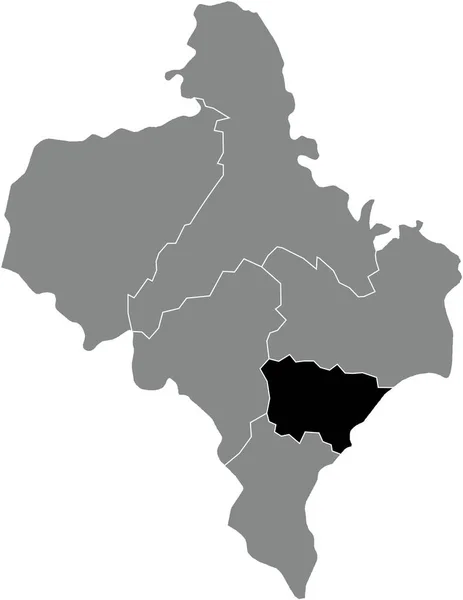
Black flat blank highlighted location map of the KOSIV RAION inside gray raions map of the Ukrainian administrative area of Ivano-Frankivsk Oblast, Ukraine
Black Flat Blank Highlighted Location Map Kosiv Raion Gray Raions — Stock Vector
Detailed location map of Slovakia in Europe with administrative divisions of the country, vector illustration
Detailed Location Map Slovakia Europe Administrative Divisions Country Vector Illustration — Stock Vector
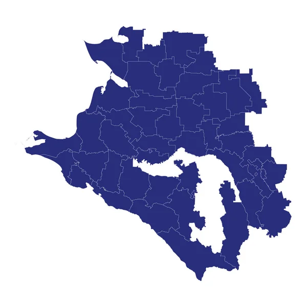
High Quality map of Krasnodar Krai is a region of Russia with borders of the districts
High Quality Map Krasnodar Krai Region Russia Borders Districts — Stock Vector
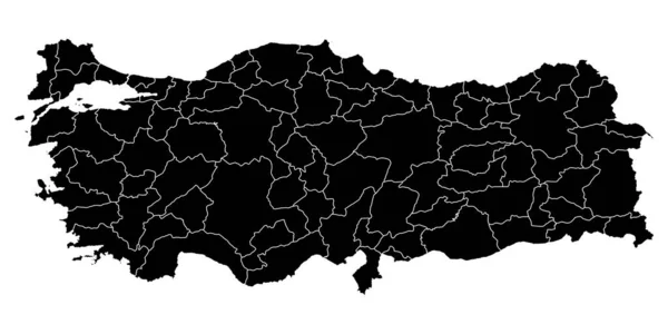
Turkey map with administrative divisions. Vector illustration.
Turkey Map Administrative Divisions Vector Illustration — Stock Vector
Ninh Thuan Province (Socialist Republic of Vietnam, Subdivisions of Vietnam) map vector illustration, scribble sketch Tinh Ninh Thuan map
Ninh Thuan Province Socialist Republic Vietnam Subdivisions Vietnam Map Vector — Stock Vector
Black location map of the Kreis 1 Stadt District inside gray urban districts map of the Swiss regional capital city of Winterthur, Switzerland
Black Location Map Kreis Stadt District Gray Urban Districts Map — Stock Vector
Azerbaijan map with administrative divisions.
Azerbaijan Map Administrative Divisions — Stock Vector
Black flat blank highlighted location map of the KOLOMYIA RAION inside gray raions map of the Ukrainian administrative area of Ivano-Frankivsk Oblast, Ukraine
Black Flat Blank Highlighted Location Map Kolomyia Raion Gray Raions — Stock Vector
Map of Moldova in Europe
Map Moldova Europe — Stock Vector
Prilep Municipality (Republic of North Macedonia, Pelagonia Statistical Region) map vector illustration, scribble sketch Prilep map
Prilep Municipality (Republic of North Macedonia, Pelagonia Statistical Region) map vector illustration, scribble sketch Prilep map — Stock Vector
Appenzell District (Switzerland, Swiss Confederation, Canton of Appenzell Innerrhoden or Appenzell Inner-Rhodes) map vector illustration, scribble sketch Bezirk map
Appenzell District Switzerland Swiss Confederation Canton Appenzell Innerrhoden Appenzell Inner — Stock Vector
Black Location Map of Albanian County of Fier within Grey Map of Albania
Black Location Map Albanian County Fier Grey Map Albania — Stock Vector
3d map of Lesser Poland voivodeship is a province of Poland, vector illustration
Map Lesser Poland Voivodeship Province Poland Vector Illustration — Stock Vector

High-Quality Macedonia Map Vector Images for Your Projects

When it comes to designing maps for projects related to Macedonia, having high-quality vector images is essential. These images ensure that your project looks professional, and they allow you to scale the map to any size without losing quality. Our collection of Macedonia map vector images includes a range of options to suit different project needs. Whether you are designing a website, creating a presentation, or printing a poster, we have the perfect map for you.

Types of Macedonia Map Vector Images Available

Our collection of Macedonia map vector images includes a variety of options, including political, geographic, and topographic maps. Political maps show the borders of Macedonia, including its cities, towns, and other important locations. Geographic maps show the physical features of the land, such as mountains, rivers, and lakes. Topographic maps provide more detailed information on the terrain, including elevation and land cover.

File Formats and Usage

Our Macedonia map vector images are available in three file formats: JPG, AI, and EPS. JPG files are perfect for web use, while AI and EPS files are suitable for print projects. When using these images, it's important to remember to choose the right format for your project and to scale the image appropriately. It's also important to credit the source of the image if required.

Tips for Choosing the Right Macedonia Map Vector Image

When choosing the right Macedonia map vector image for your project, it's crucial to consider the purpose of your project. If you're designing a website, you'll want a high-resolution image that loads quickly and is easy to navigate. If you're presenting to an audience, you may want a more detailed map that allows the viewers to see the information more clearly. No matter what your purpose is, our collection of Macedonia map vector images has you covered.

Benefits of Using Our Macedonia Map Vector Images

There are many benefits to choosing our Macedonia map vector images for your projects. Our images are high-quality and offer great detail, allowing you to create professional-looking projects. They are also available in multiple file formats, giving you the freedom to use them in different projects. And since they are vector images, you can scale them to any size without losing quality. So why settle for anything less than the best? Choose our Macedonia map vector images for all your project needs.