Northern california Stock Vector Images

100,000 Northern california vector art & graphics are available under a royalty-free license

  • Best Match
  • Fresh
  • Popular
1-100 of 100,000
Summer vacation holiday doodle
Summer vacation holiday doodle — Stock Vector
New york seamless pattern
New york seamless pattern — Stock Vector
Music seamless pattern background
Music seamless pattern background — Stock Vector
Nautical Seamless Pattern
Nautical Seamless Pattern — Stock Vector
San Francisco landscape
San Francisco landscape — Stock Vector
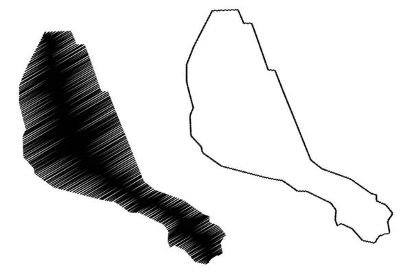
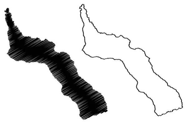
Lake Sawa (Republic of Iraq) map vector illustration, scribble sketch map
Lake Sawa Republic Iraq Map Vector Illustration Scribble Sketch Map — Stock Vector
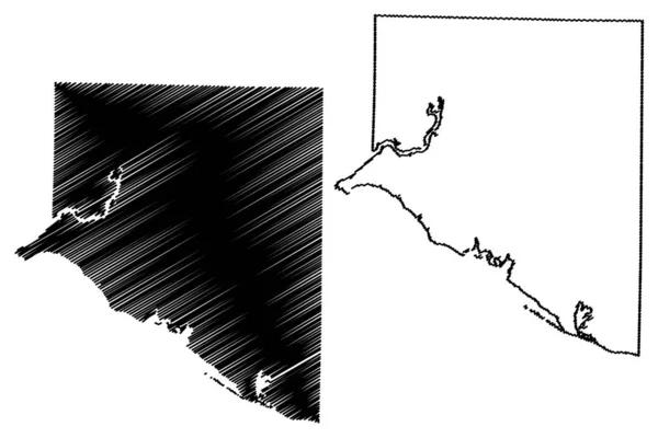
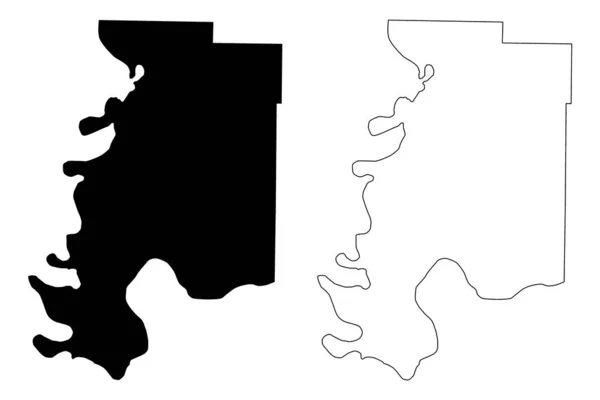
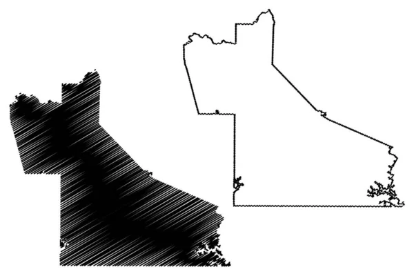
Limestone County, Alabama (Counties in Alabama, United States of America,USA, U.S., US) map vector illustration, scribble sketch Limestone map
Limestone County, Alabama (Counties in Alabama, United States of America,USA, U.S., US) map vector illustration, scribble sketch Limestone map — Stock Vector
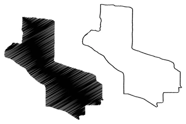
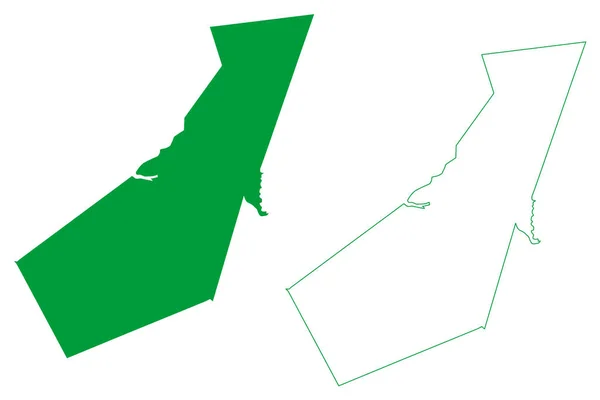
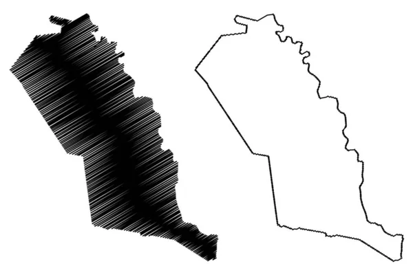
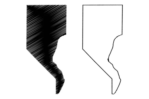
Hela Province (Independent State of Papua New Guinea, PNG, Provinces of Papua New Guinea) map vector illustration, scribble sketch Hela ma
Hela Province (Independent State of Papua New Guinea, PNG, Provinces of Papua New Guinea) map vector illustration, scribble sketch Hela ma — Stock Vector
Equatorial africa guinea icon in Outline style
Equatorial Africa Guinea Icon Outline Style — Stock Vector
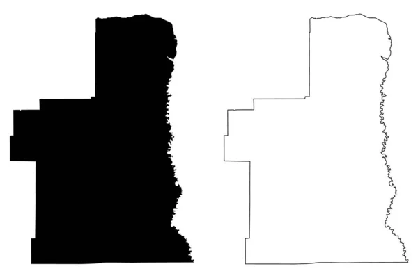
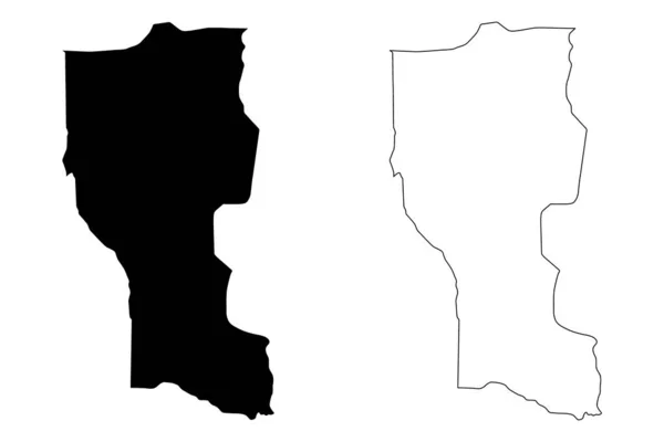
Louisa County, Iowa (U.S. county, United States of America, USA, U.S., US) map vector illustration, scribble sketch Louisa map
Louisa County Iowa County United States America Usa Map Vector — Stock Vector
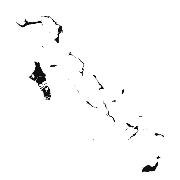
Abstract Bahamas Silhouette Detailed Map
Abstract Bahamas Silhouette Detailed Map — Stock Vector
Gjorce Petrov Municipality (Republic of North Macedonia, Skopje Statistical Region, Greater Skopje) map vector illustration, scribble sketch Gjorce Petrov map
Gjorce Petrov Municipality (Republic of North Macedonia, Skopje Statistical Region, Greater Skopje) map vector illustration, scribble sketch Gjorce Petrov map — Stock Vector
Black and White 3D Contour Topography Map of the Asian Country of Turkmenistan
Black White Contour Topography Map Asian Country Turkmenistan — Stock Vector
Budva municipality map, administrative subdivision of Montenegro. Vector illustration.
Budva Municipality Map Administrative Subdivision Montenegro Vector Illustration — Stock Vector
Silhouette map of Anchorage city in Alaska
Silhouette Map Anchorage City Alaska — Stock Vector
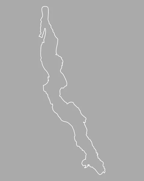
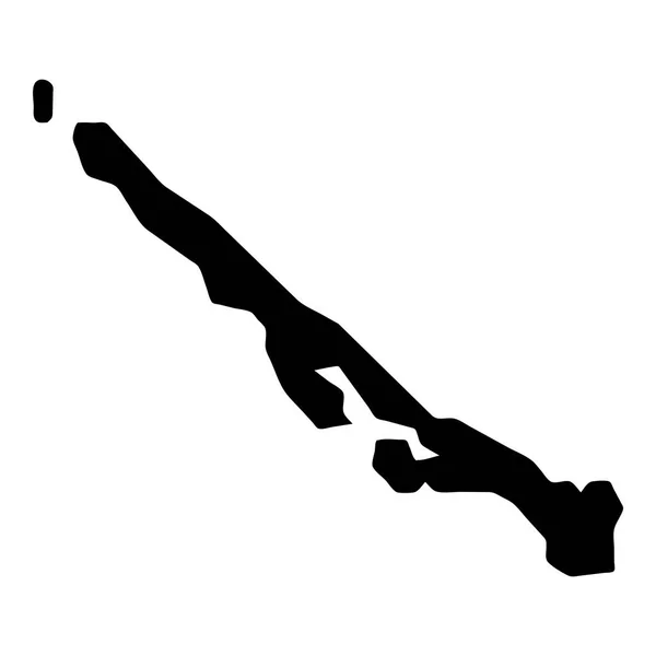
Map of Lake Tanganyika
Map of Lake Tanganyika — Stock Vector
Trelawny Parish (Parishes of Jamaica, Cornwall County) map vector illustration, scribble sketch Trelawny map
Trelawny Parish (Parishes of Jamaica, Cornwall County) map vector illustration, scribble sketch Trelawny map — Stock Vector
Hela Province (Independent State of Papua New Guinea, PNG, Provinces of Papua New Guinea) map vector illustration, scribble sketch Hela ma
Hela Province (Independent State of Papua New Guinea, PNG, Provinces of Papua New Guinea) map vector illustration, scribble sketch Hela ma — Stock Vector
Maryland US state hand drawn pencil sketch outline map with the handwritten heart shape. Vector illustration
Maryland US state hand drawn pencil sketch outline map with the handwritten heart shape. Vector illustration — Stock Vector
Martinsville city County, Commonwealth of Virginia (Independent city, U.S. county, United States of America, USA, U.S., US) map vector illustration, scribble sketch Martinsville map
Martinsville City County Commonwealth Virginia Independent City County United States — Stock Vector
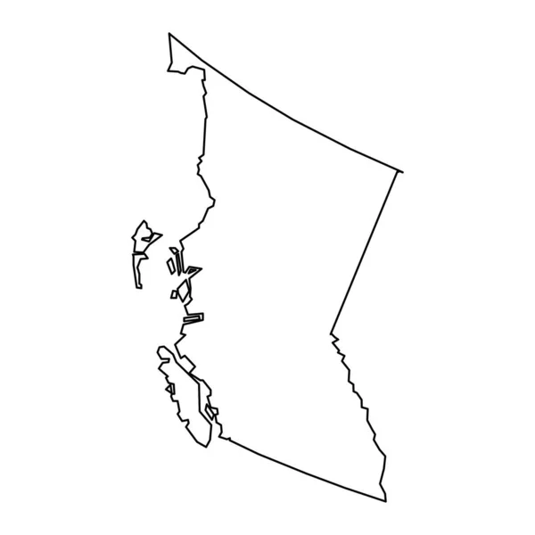
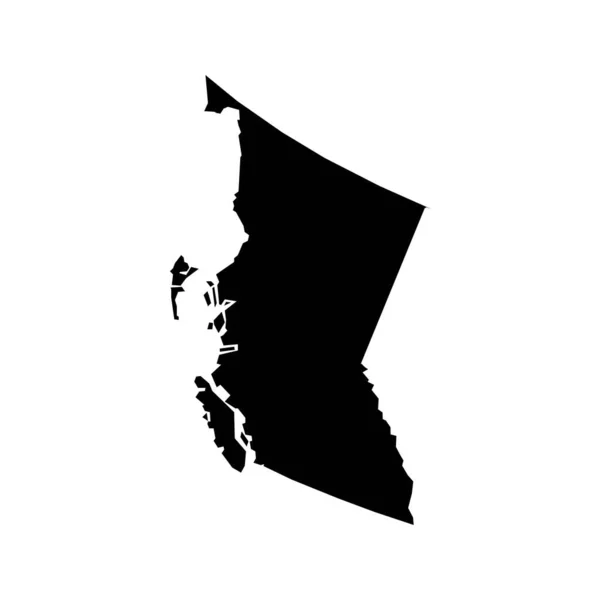
British Columbia map, province of Canada. Vector illustration.
British Columbia Map Province Canada Vector Illustration — Stock Vector
Cuscatlan Department (Republic of El Salvador, Departments of El Salvador) map vector illustration, scribble sketch Cuscatlan ma
Cuscatlan Department (Republic of El Salvador, Departments of El Salvador) map vector illustration, scribble sketch Cuscatlan ma — Stock Vector
Goochland County, Commonwealth of Virginia (U.S. county, United States of America, USA, U.S., US) map vector illustration, scribble sketch Goochland map
Goochland County Commonwealth Virginia County United States America Usa Map — Stock Vector
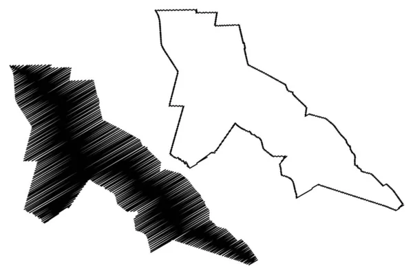
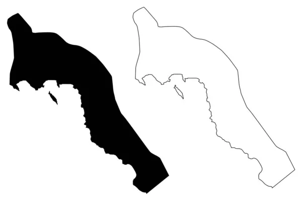
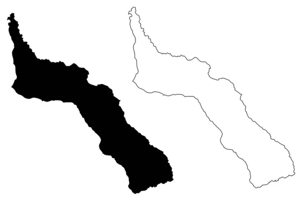
Borkou Region (Regions of Chad, Republic of Chad) map vector illustration, scribble sketch Borkou map
Borkou Region (Regions of Chad, Republic of Chad) map vector illustration, scribble sketch Borkou map — Stock Vector
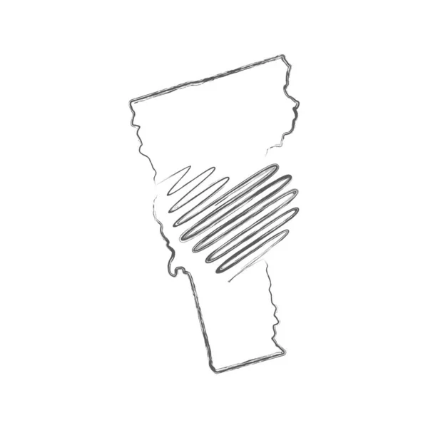
Vermont US state hand drawn pencil sketch outline map with the handwritten heart shape. Vector illustration
Vermont US state hand drawn pencil sketch outline map with the handwritten heart shape. Vector illustration — Stock Vector
Escobedo municipality (Free and Sovereign State of Coahuila de Zaragoza, Mexico, United Mexican States) map vector illustration, scribble sketch Escobedo map
Escobedo Municipality Free Sovereign State Coahuila Zaragoza Mexico United Mexican — Stock Vector
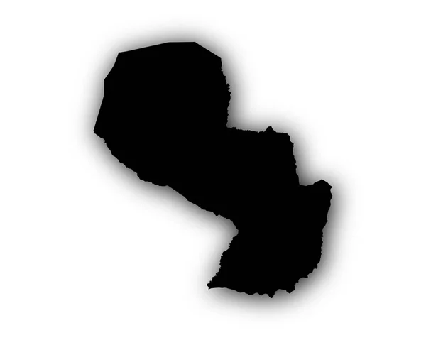
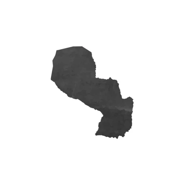
Map of Paraguay with shadow
Map of Paraguay with shadow — Stock Vector
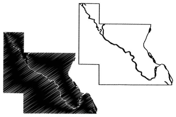
Massac County, Illinois (U.S. county, United States of America, USA, U.S., US) map vector illustration, scribble sketch Massac map
Massac County Illinois County United States America Usa Map Vector — Stock Vector
Sketch of a map of Poland
Sketch of a map of Poland — Stock Vector
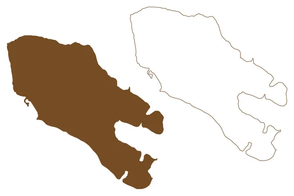
Lake Turkana (Africa, Ethiopia and Kenya) map vector illustration, scribble sketch Lake Rudolf or Jade Sea map
Lake Turkana Africa Ethiopia Kenya Map Vector Illustration Scribble Sketch — Stock Vector
Essex County, Commonwealth of Virginia (U.S. county, United States of America, USA, U.S., US) map vector illustration, scribble sketch Essex map
Essex County Commonwealth Virginia County United States America Usa Map — Stock Vector
British Columbia map, province of Canada. Vector illustration.
British Columbia Map Province Canada Vector Illustration — Stock Vector
Nereta Municipality (Republic of Latvia, Administrative divisions of Latvia, Municipalities and their territorial units) map vector illustration, scribble sketch Nereta map
Nereta Municipality Republic Latvia Administrative Divisions Latvia Municipalities Territorial Units — Stock Vector
Chippewa County, Michigan (U.S. county, United States of America, USA, U.S., US) map vector illustration, scribble sketch Chippewa map
Chippewa County Michigan County United States America Usa Map Vector — Stock Vector
Randolph County, Illinois (U.S. county, United States of America, USA, U.S., US) map vector illustration, scribble sketch Randolph map
Randolph County Illinois County United States America Usa Map Vector — Stock Vector
Budva Municipality (Montenegro, Municipalities of Montenegro) map vector illustration, scribble sketch Budva map
Budva Municipality Montenegro Municipalities Montenegro Map Vector Illustration Scribble Sketch — Stock Vector
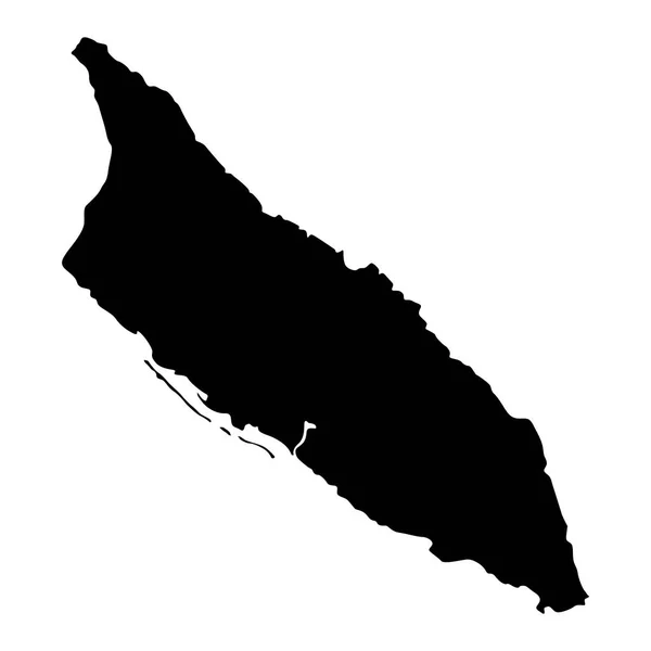
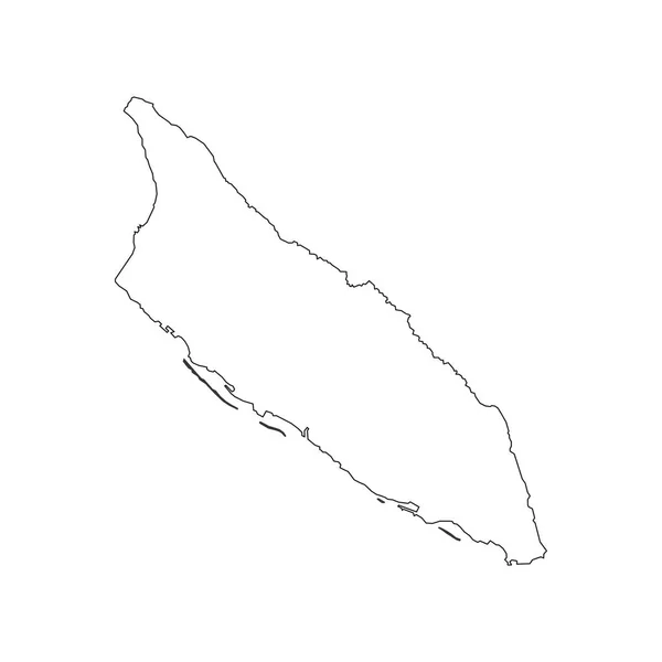
Map of Aruba
Map of Aruba — Stock Vector
Dawson County, Georgia (U.S. county, United States of America,USA, U.S., US) map vector illustration, scribble sketch Dawson map
Dawson County Georgia County United States America Usa Map Vector — Stock Vector
Garland City ( United States cities, United States of America, usa city) map vector illustration, scribble sketch City of Garland map
Garland City ( United States cities, United States of America, usa city) map vector illustration, scribble sketch City of Garland map — Stock Vector
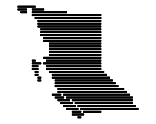
Map of British Columbia
Map of British Columbia — Stock Vector
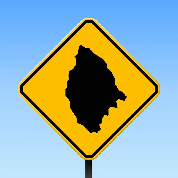
La Digue map on road sign Square poster with La Digue island map on yellow rhomb road sign Vector
La Digue map on road sign Square poster with La Digue island map on yellow rhomb road sign Vector — Stock Vector
Asotin County, State of Washington (U.S. county, United States of America, USA, U.S., US) map vector illustration, scribble sketch Asotin map
Asotin County State Washington County United States America Usa Map — Stock Vector
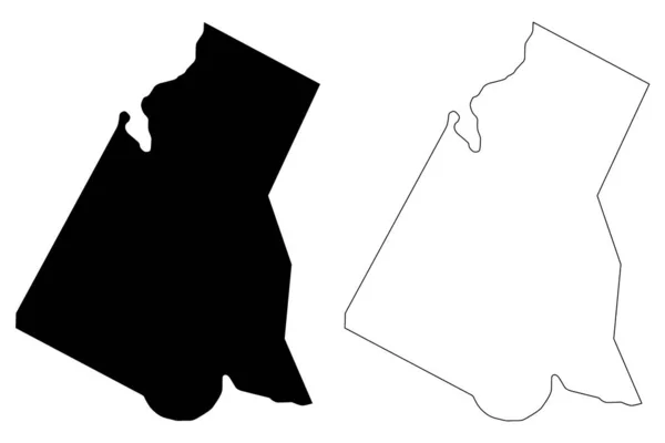
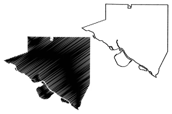
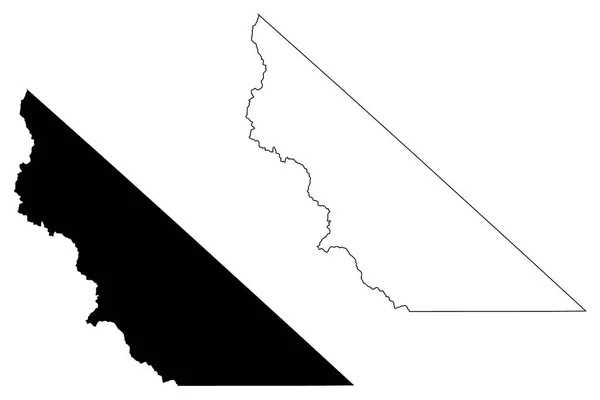
Mono County, California map vector
Mono County, California map vector — Stock Vector
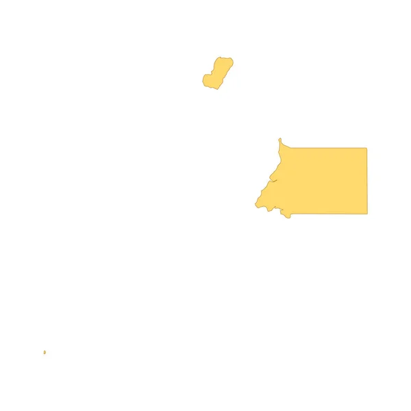
Equatorial Guinea map color line element. Border of the country.
Equatorial Guinea map color line element. Border of the country. — Stock Vector
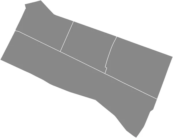
Gray flat blank vector administrative map of the 1ST ARONDISSEMENT (DU LOUVRE), PARIS, FRANCE with black border lines of its quarters
Gray Flat Blank Vector Administrative Map 1St Arondissement Louvre Paris — Stock Vector
Pedro Canario municipality (Espirito Santo state, Municipalities of Brazil, Federative Republic of Brazil) map vector illustration, scribble sketch Pedro Canrio map
Pedro Canario Municipality Espirito Santo State Municipalities Brazil Federative Republic — Stock Vector
Ciudad Nezahualcoyotl City (United Mexican States, Mexico) map vector illustration, scribble sketch City of Neza or Nezahualcoyotl map
Ciudad Nezahualcoyotl City United Mexican States Mexico Map Vector Illustration — Stock Vector
LOIYANGALANI map colorful silhouette on white background
Loiyangalani Map Colorful Silhouette White Background — Stock Vector
Collines Department (Departments of Benin, Republic of Benin, Dahomey) map vector illustration, scribble sketch Collines map
Collines Department (Departments of Benin, Republic of Benin, Dahomey) map vector illustration, scribble sketch Collines map — Stock Vector
Quebradillas municipality (Commonwealth of Puerto Rico, Porto Rico, PR, Unincorporated territories of the United States) map vector illustration, scribble sketch Quebradillas map
Quebradillas municipality (Commonwealth of Puerto Rico, Porto Rico, PR, Unincorporated territories of the United States) map vector illustration, scribble sketch Quebradillas map — Stock Vector
Rivas Department (Republic of Nicaragua, Departments of Nicaragua) map vector illustration, scribble sketch Rivas (NI-RI) ma
Rivas Department (Republic of Nicaragua, Departments of Nicaragua) map vector illustration, scribble sketch Rivas (NI-RI) ma — Stock Vector
Black flat blank highlighted location map of the ZAVODSKY RAION inside gray administrative map of Zaporizhzhia, Ukraine
Black Flat Blank Highlighted Location Map Zavodsky Raion Gray Administrative — Stock Vector
Sohag Governorate map, administrative division of Egypt. Vector illustration.
Sohag Governorate Map Administrative Division Egypt Vector Illustration — Stock Vector
York and Washington County, Nebraska (U.S. county, United States of America, USA, U.S., US) map vector illustration, scribble sketch map
York Washington County Nebraska County United States America Usa Map — Stock Vector
Illustrated Country Shape of Tanzania
Illustrated Country Shape of Tanzania — Stock Vector
Mount Athos Region (Greece, Hellenic Republic, Hellas) map vector illustration, scribble sketch Mount Athos Autonomous state map
Mount Athos Region (Greece, Hellenic Republic, Hellas) map vector illustration, scribble sketch Mount Athos Autonomous state map — Stock Vector
Country Shape Illustration of Paraguay
Country Shape Illustration of Paraguay — Stock Vector
Traill island (Kingdom of Denmark, Greenland, North America) map vector illustration, scribble sketch Traill map
Traill Island Kingdom Denmark Greenland North America Map Vector Illustration — Stock Vector
Louisa County, Iowa (U.S. county, United States of America, USA, U.S., US) map vector illustration, scribble sketch Louisa map
Louisa County Iowa County United States America Usa Map Vector — Stock Vector
Oconee County, Georgia (U.S. county, United States of America,USA, U.S., US) map vector illustration, scribble sketch Oconee map
Oconee County Georgia County United States America Usa Map Vector — Stock Vector
Navsari district (Gujarat State, Republic of India) map vector illustration, scribble sketch Navsari map
Navsari District Gujarat State Republic India Map Vector Illustration Scribble — Stock Vector
Canton 10 canton map, administrative district of Federation of Bosnia and Herzegovina. Vector illustration.
Canton Canton Map Administrative District Federation Bosnia Herzegovina Vector Illustration — Stock Vector
Lankaran map, administrative division of Azerbaijan.
Lankaran Map Administrative Division Azerbaijan — Stock Vector
Wahkiakum County, State of Washington (U.S. county, United States of America, USA, U.S., US) map vector illustration, scribble sketch Wahkiakum map
Wahkiakum County State Washington County United States America Usa Map — Stock Vector
Country Shape Illustration of Uzbekistan
Country Shape Illustration of Uzbekistan — Stock Vector
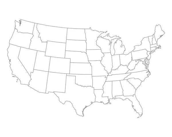
Accurate map of USA
Accurate map of USA — Stock Vector
Limestone County, Alabama (Counties in Alabama, United States of America,USA, U.S., US) map vector illustration, scribble sketch Limestone map
Limestone County, Alabama (Counties in Alabama, United States of America,USA, U.S., US) map vector illustration, scribble sketch Limestone map — Stock Vector
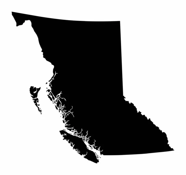
British Columbia province dark silhouette map
British Columbia province dark silhouette map — Stock Vector
Usedom island (Baltic Sea, Germany, Poland) map vector illustration, scribble sketch Uznam, Sunny Island map
Usedom Island Baltic Sea Germany Poland Map Vector Illustration Scribble — Stock Vector
Paulo Jacinto municipality (Alagoas state, Municipalities of Brazil, Federative Republic of Brazil) map vector illustration, scribble sketch Paulo Jacinto map
Paulo Jacinto Municipality Alagoas State Municipalities Brazil Federative Republic Brazil — Stock Vector
Illustrated Country Shape of Democratic Republic of Congo
Illustrated Country Shape of Democratic Republic of Congo — Stock Vector
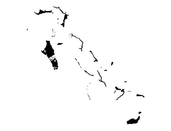
Bahamas map isolated on png or transparent background,Symbol of Bahamas, template for banner,card,advertising, magazine, and business matching country poster, vector illustration
Bahamas Map Isolated Png Transparent Background Symbol Bahamas Template Banner — Stock Vector
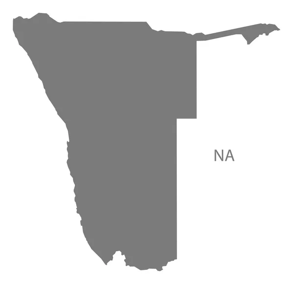
Namibia Map grey
Namibia Map grey — Stock Vector
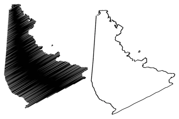
San Jacinto County, Texas (Counties in Texas, United States of America,USA, U.S., US) map vector illustration, scribble sketch San Jacinto map
San Jacinto County, Texas (Counties in Texas, United States of America,USA, U.S., US) map vector illustration, scribble sketch San Jacinto map — Stock Vector
Outline map of the city of Garissa in kenya
Outline Map City Garissa Kenya — Stock Vector
Washington map vector illustration, scribble sketch Washington map
Washington Map Vector Illustration Scribble Sketch Washington Map — Stock Vector
Rincon municipality (Commonwealth of Puerto Rico, Porto Rico, PR, Unincorporated territories of the United States) map vector illustration, scribble sketch Rincon map
Rincon municipality (Commonwealth of Puerto Rico, Porto Rico, PR, Unincorporated territories of the United States) map vector illustration, scribble sketch Rincon map — Stock Vector
Illustrated Country Shape of Libya
Illustrated Country Shape of Libya — Stock Vector
Silhouette map of the city of Francisville in Pennsylvania
Silhouette Map City Francisville Pennsylvania — Stock Vector
Stocking Island map Island silhouette icon Isolated Stocking Island black map outline Vector
Stocking Island map Island silhouette icon Isolated Stocking Island black map outline Vector — Stock Vector
Petroleum County, Montana (U.S. county, United States of America, USA, U.S., US) map vector illustration, scribble sketch Petroleum map
Petroleum County Montana County United States America Usa Map Vector — Stock Vector
Aruba map outline
Aruba map outline — Stock Vector
King County, State of Washington (U.S. county, United States of America, USA, U.S., US) map vector illustration, scribble sketch King map
King County State Washington County United States America Usa Map — Stock Vector
Piedras Negras municipality (Free and Sovereign State of Coahuila de Zaragoza, Mexico, United Mexican States) map vector illustration, scribble sketch Piedras Negras map
Piedras Negras Municipality Free Sovereign State Coahuila Zaragoza Mexico United — Stock Vector
Muranga County (Republic of Kenya, Central Province) map vector illustration, scribble sketch Murang'a map
Muranga County Republic Kenya Central Province Map Vector Illustration Scribble — Stock Vector
Lebap Region (Republic of Turkmenistan, Districts of Turkmenistan) map vector illustration, scribble sketch Lebap Province ma
Lebap Region (Republic of Turkmenistan, Districts of Turkmenistan) map vector illustration, scribble sketch Lebap Province ma — Stock Vector
West Azerbaijan province map, administrative division of Iran. Vector illustration.
West Azerbaijan Province Map Administrative Division Iran Vector Illustration — Stock Vector
Tunica County, Mississippi (U.S. county, United States of America, USA, U.S., US) map vector illustration, scribble sketch Tunica map
Tunica County Mississippi County United States America Usa Map Vector — Stock Vector
Posey County, Indiana (U.S. county, United States of America, USA, U.S., US) map vector illustration, scribble sketch Posey map
Posey County Indiana County United States America Usa Map Vector — Stock Vector
Mount Athos Region (Greece, Hellenic Republic, Hellas) map vector illustration, scribble sketch Mount Athos Autonomous state map
Mount Athos Region (Greece, Hellenic Republic, Hellas) map vector illustration, scribble sketch Mount Athos Autonomous state map — Stock Vector
Pope County, Illinois (U.S. county, United States of America, USA, U.S., US) map vector illustration, scribble sketch Pope map
Pope County Illinois County United States America Usa Map Vector — Stock Vector
Donga Department (Departments of Benin, Republic of Benin, Dahomey) map vector illustration, scribble sketch Donga map
Donga Department (Departments of Benin, Republic of Benin, Dahomey) map vector illustration, scribble sketch Donga map — Stock Vector
Light topographic map of the Federal State of Maryland, USA with black contour lines on beige background
Light Topographic Map Federal State Maryland Usa Black Contour Lines — Stock Vector
Jacobina municipality (Bahia state, Municipalities of Brazil, Federative Republic of Brazil) map vector illustration, scribble sketch Jacobina map
Jacobina Municipality Bahia State Municipalities Brazil Federative Republic Brazil Map — Stock Vector
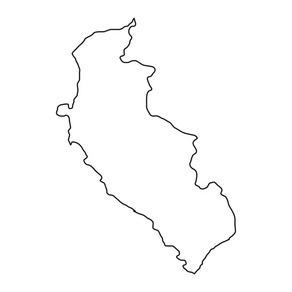
Ica map, region in Peru. Vector Illustration.
Ica Map Region Peru Vector Illustration — Stock Vector
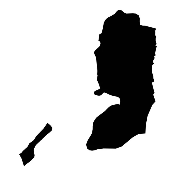
High detailed vector map. Palestine. New Map 2023
High Detailed Vector Map Palestine New Map 2023 — Stock Vector
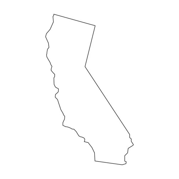
California map. California linear style. linear icon
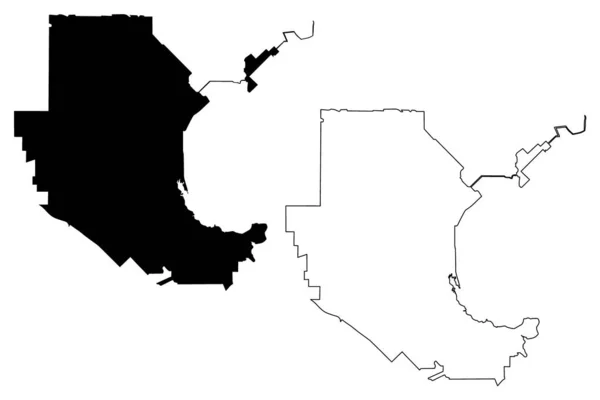
California Map California Linear Style Linear Icon — Stock Vector
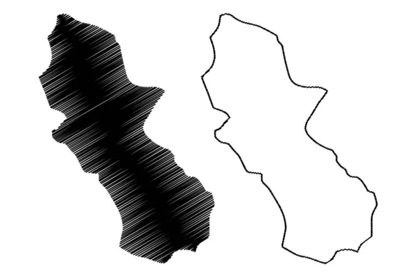
Cuscatlan Department (Republic of El Salvador, Departments of El Salvador) map vector illustration, scribble sketch Cuscatlan ma
Cuscatlan Department (Republic of El Salvador, Departments of El Salvador) map vector illustration, scribble sketch Cuscatlan ma — Stock Vector
Oconee County, Georgia (U.S. county, United States of America,USA, U.S., US) map vector illustration, scribble sketch Oconee map
Oconee County Georgia County United States America Usa Map Vector — Stock Vector
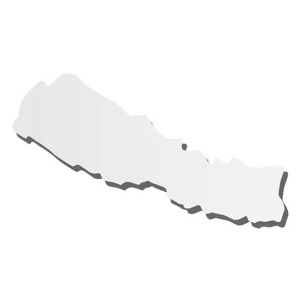
Nepal - grey 3d-like silhouette map of country area with dropped shadow. Simple flat vector illustration
Nepal - grey 3d-like silhouette map of country area with dropped shadow. Simple flat vector illustration — Stock Vector

Find High-Quality Northern California Vector Images for Your Creative Projects

Creating captivating visual content can set your project apart and capture the imagination of your audience. Northern California is famous for its stunning natural beauty, including its picturesque coastline, towering redwoods, and diverse wildlife. Our collection of vector images provides a comprehensive range of visual assets that can enhance your project by telling a story or connecting with your audience. Our Northern California Vector images are available in various file formats, including JPG, AI, and EPS, and can be used in a wide range of applications, including web design, advertising, and print materials.

Why Choose Northern California Vector Images for Your Projects?

Our Northern California Vector images offer a multitude of advantages over traditional images. Vector images provide the flexibility to scale up or down without sacrificing visual quality. This means that vector images can be used across a wide range of projects, from small social media graphics to large billboards. Additionally, vectors are great for detailed imagery, creating sharp edges and clear lines that stand out in web design or print materials. Our Northern California Vector images are an excellent choice for creating stunning visuals that can be used in various branding efforts, advertising campaigns, and other promotional projects.

How to Use Northern California Vector Images Effectively

When incorporating Northern California Vector images into your project, keep in mind your audience and message. Northern California is known for its diverse topography, from the Pacific Ocean to the Sierra Nevada mountain range. Depending on your project's intended message, an image of a coastline, ocean vista or a forest, and wilderness landscape, may be the most appropriate. For businesses, Northern California Vector images can be an excellent way to differentiate your brand, especially if your company has a connection to Northern California. For designers, vector images can also offer creative inspiration, acting as a jumping-off point or serving as references for other graphic design projects.

Explore Our Wide Selection of Northern California Vector Images

Our collection of Northern California Vector images is extensive, providing a diverse selection of vector graphics that can be used to capture Northern California's beauty. Our vector images are produced by experienced designers and illustrators who use the latest techniques to create visually captivating graphics. Our images are perfect for use in a variety of projects, including web design, custom apparel, and branded promotional materials. Additionally, our collection includes images that feature a range of Northern California's most iconic landmarks, wildlife, and landscapes.

In conclusion, if you're looking for high-quality Northern California Vector images to add to your project, look no further than our collection. We offer an extensive collection of vector graphics that are perfect for a wide range of applications. When selecting an image to use, always keep your audience and message in mind and choose an image that aligns with your project's goals. No matter what your project is, our Northern California Vector images can help elevate your designs and take them to the next level.