Uruguay map Stock Vector Images

100,000 Uruguay map vector art & graphics are available under a royalty-free license

  • Best Match
  • Fresh
  • Popular
1-100 of 100,000
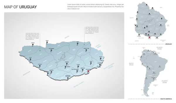
Vector set of Uruguay country.
Vector set of Uruguay country. — Stock Vector
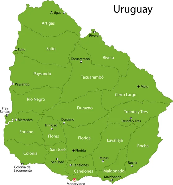
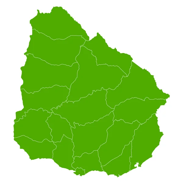
Green Uruguay map
Green Uruguay map — Stock Vector
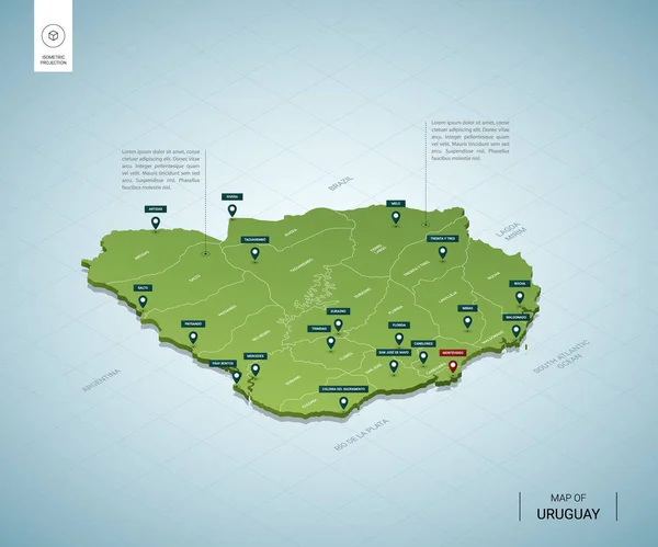
Stylized map of Uruguay. Isometric 3D green map with cities, borders, capital Montevideo, regions. Vector illustration. Editable layers clearly labeled. English language
Stylized Map Uruguay Isometric Green Map Cities Borders Capital Montevideo — Stock Vector
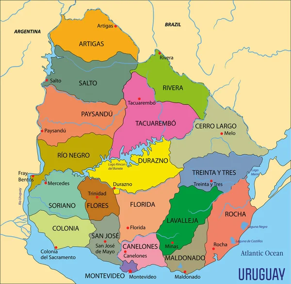
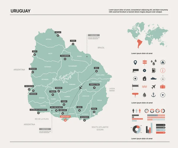
High detailed political map of Uruguay with regions and their capitals. Vector illustration eps 10.
High Detailed Political Map Uruguay Regions Capitals Vector Illustration Eps — Stock Vector
South American political map
South American political map — Stock Vector
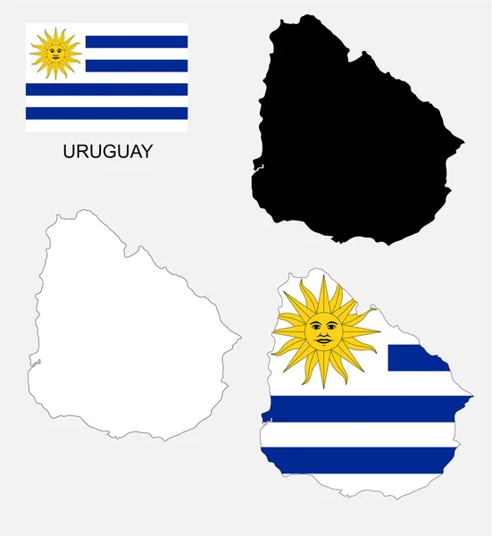
Uruguay map and flag vector, Uruguay map, Uruguay flag
Uruguay map and flag vector, Uruguay map, Uruguay flag — Stock Vector
Uruguay map Country icon
Uruguay map Country icon — Stock Vector
Uruguay map
Uruguay map — Stock Vector
Uruguay map rough outline against the backdrop of beach and tropical sea with bright sun.
Uruguay map rough outline against the backdrop of beach and tropical sea with bright sun. — Stock Vector
Stylized vector Uruguay map showing big cities, capital Montevideo, administrative divisions.
Stylized Vector Uruguay Map Showing Big Cities Capital Montevideo Administrative — Stock Vector
Vector map of Uruguay.
Vector map of Uruguay. — Stock Vector
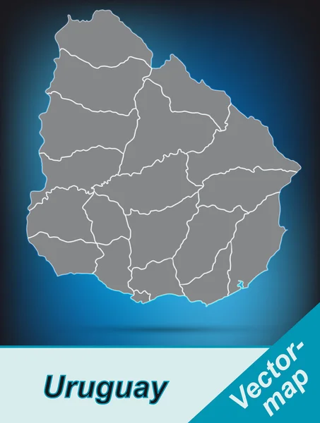
Uruguay map with shadow effect
Uruguay map with shadow effect — Stock Vector
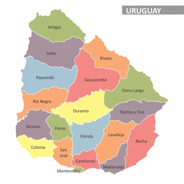
Uruguay regions map
Uruguay regions map — Stock Vector
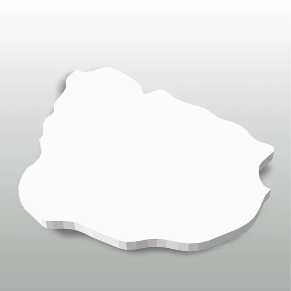
Uruguay - white 3D silhouette map of country area with dropped shadow on grey background. Simple flat vector illustration
Uruguay - white 3D silhouette map of country area with dropped shadow on grey background. Simple flat vector illustration — Stock Vector
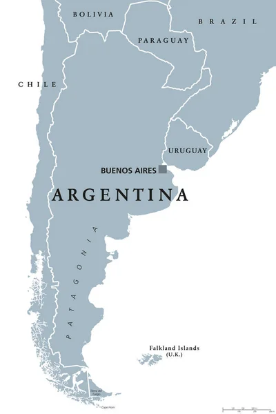
Argentina political map
Argentina political map — Stock Vector
Uruguay region map
Uruguay region map — Stock Vector
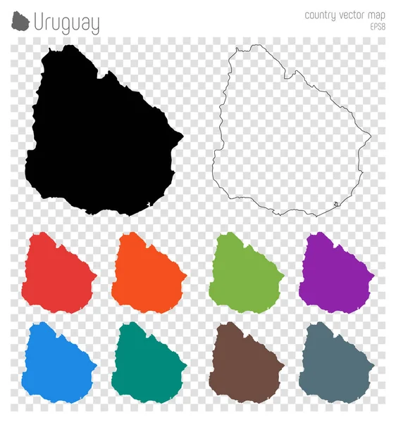
Uruguay high detailed map Country silhouette icon Isolated Uruguay black map outline Vector
Uruguay high detailed map Country silhouette icon Isolated Uruguay black map outline Vector — Stock Vector
Uruguay stamp
Uruguay stamp — Stock Vector
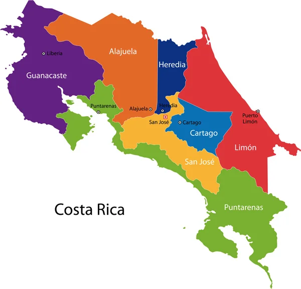
Costa Rica map
Costa Rica map — Stock Vector
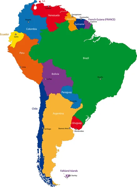
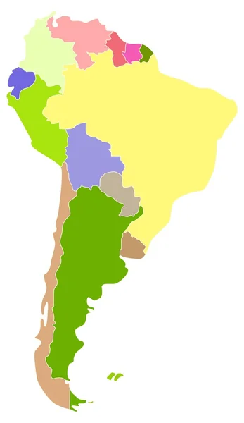
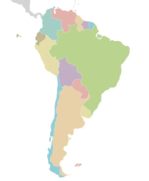
Colorful South America map
Colorful South America map — Stock Vector
Map of Uruguay
Map of Uruguay — Stock Vector
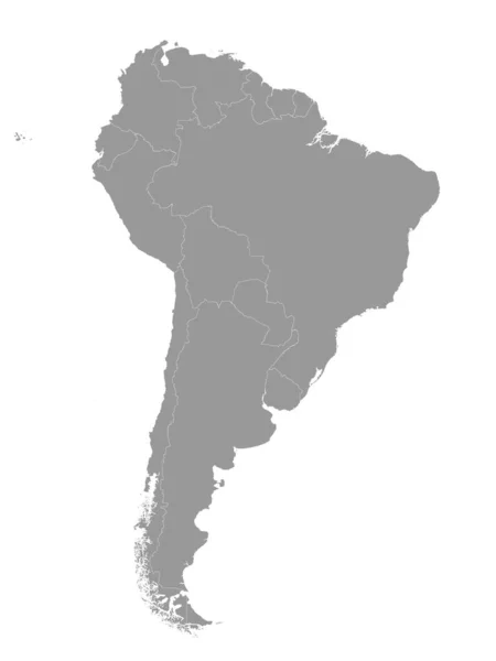
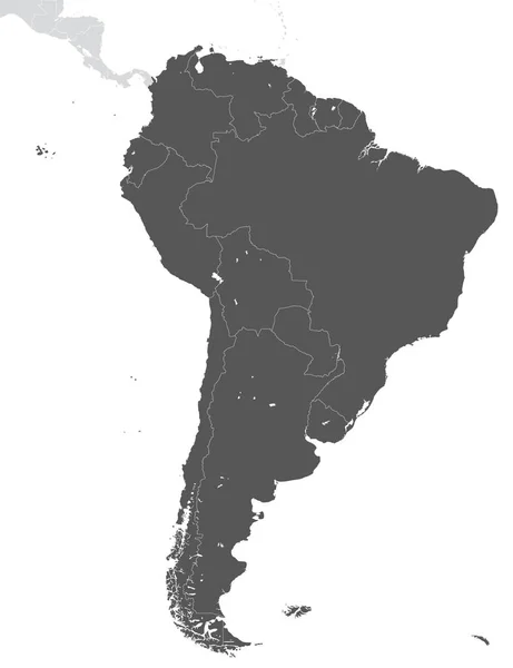
Gray Flat Vector Map of South America With Country Borders on White Background
Gray Flat Vector Map South America Country Borders White Background — Stock Vector
Map of South America
Map South America — Stock Vector
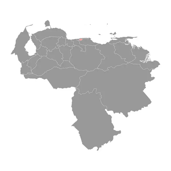
Distrito Capital map, administrative division of Venezuela.
Distrito Capital Map Administrative Division Venezuela — Stock Vector
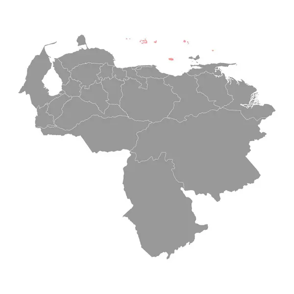
Dependencias Federales map, administrative division of Venezuela.
Dependencias Federales Map Administrative Division Venezuela — Stock Vector
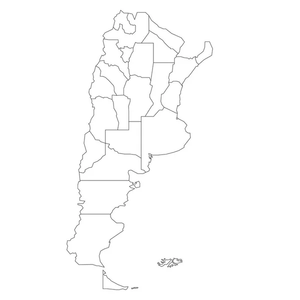
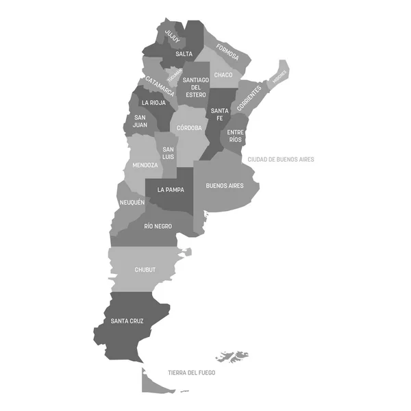
Argentina - map of provinces
Argentina - map of provinces — Stock Vector
Map of Ecuador
Map of Ecuador — Stock Vector
South America map vector. country
South America Map Vector Country — Stock Vector
Argentina infographic vector illustration
Argentina Infographic Vector Illustration — Stock Vector
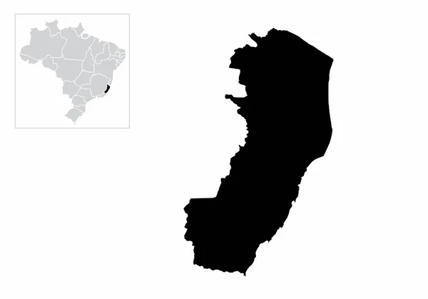
Illustration of the Espirito Santo State and its location in Brazil map
Illustration Espirito Santo State Its Location Brazil Map — Stock Vector
GRAY CMYK color map of SOUTH AMERICA
Gray Cmyk Color Map South America — Stock Vector
Artemisa Province (Republic of Cuba, Provinces of Cuba) map vector illustration, scribble sketch Artemisa ma
Artemisa Province (Republic of Cuba, Provinces of Cuba) map vector illustration, scribble sketch Artemisa ma — Stock Vector
Black map of Argentina
Black map of Argentina — Stock Vector
Map of Argentina
Map of Argentina — Stock Vector
Brazil
Brazil — Stock Vector
Hand Drawn Argentina Map Illustration
Hand Drawn Argentina Map Illustration — Stock Vector
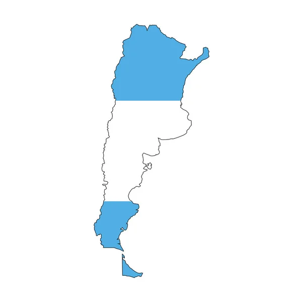
Argentina map silhouette with flag on white background
Argentina Map Silhouette Flag White Background — Stock Vector
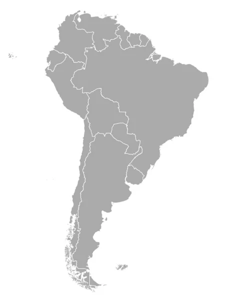
Blank political map of South America. Simple flat vector map in grey
Blank political map of South America. Simple flat vector map in grey — Stock Vector
Outline Sketch Map of Argentina With States and Cities
Outline Sketch Map Argentina States Cities — Stock Vector
Map of Argentina
Map of Argentina — Stock Vector
Map of South America
Map South America — Stock Vector
Vector map Argentina. Isolated vector Illustration. Black on White background. EPS 10 Illustration.
Vector Map Argentina Isolated Vector Illustration Black White Background Eps — Stock Vector
Vector map Argentina. Isolated vector Illustration. Black on White background. EPS 10 Illustration.
Vector Map Argentina Isolated Vector Illustration Black White Background Eps — Stock Vector
Gray Flat Vector Map of South America on White Background
Gray Flat Vector Map South America White Background — Stock Vector
Venezuela map color line element. Border of the country.
Venezuela Map Color Line Element Border Country — Stock Vector
Map of South America
Map South America — Stock Vector
Territory of South America continent. White background
Territory South America Continent White Background — Stock Vector
South America
South America — Stock Vector
Map of South America
Map South America — Stock Vector
Vector blank map of Argentina with provinces or federated states and administrative divisions. Editable and clearly labeled layers.
Vector Blank Map Argentina Provinces Federated States Administrative Divisions Editable — Stock Vector
South America divided in countries. Isolated map on white background.
South America Divided Countries Isolated Map White Background — Stock Vector
South America thin black outline map. Contour map of continent. Simple flat vector illustration
South America thin black outline map. Contour map of continent. Simple flat vector illustration — Stock Vector
Map of Ecuador
Map of Ecuador — Stock Vector
Black highlighted location map of the Tunisian Gafsa governorate inside gray map of the Tunisian Republic
Black Highlighted Location Map Tunisian Gafsa Governorate Gray Map Tunisian — Stock Vector
Vector illustrated blank map of Spain with regions and territories and administrative divisions, and neighbouring countries. Editable and clearly labeled layers.
Vector Illustrated Blank Map Spain Regions Territories Administrative Divisions Neighbouring — Stock Vector
Greenland - grey 3d-like silhouette map of country area with dropped shadow. Simple flat vector illustration
Greenland - grey 3d-like silhouette map of country area with dropped shadow. Simple flat vector illustration — Stock Vector
South America Map With Capitals
South America Map With Capitals — Stock Vector
Map of Colombia in South America on white background
Map Colombia South America White Background — Stock Vector
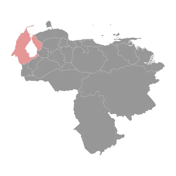
Zulia state map, administrative division of Venezuela.
Zulia State Map Administrative Division Venezuela — Stock Vector
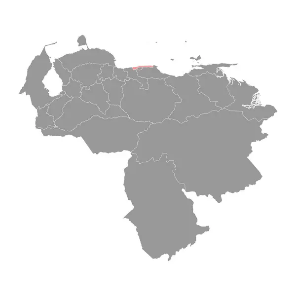
Vargas state map, administrative division of Venezuela.
Vargas State Map Administrative Division Venezuela — Stock Vector
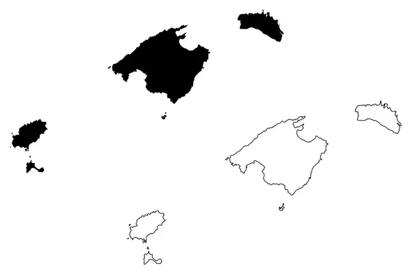
Balearic Islands (Kingdom of Spain, Autonomous community) map vector illustration, scribble sketch Mallorca, Menorca, Ibiza and Formentera map
Balearic Islands Kingdom Spain Autonomous Community Map Vector Illustration Scribble — Stock Vector
South America Blind Map.
South America Blind Map. — Stock Vector
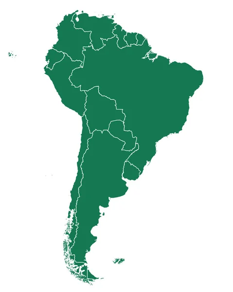
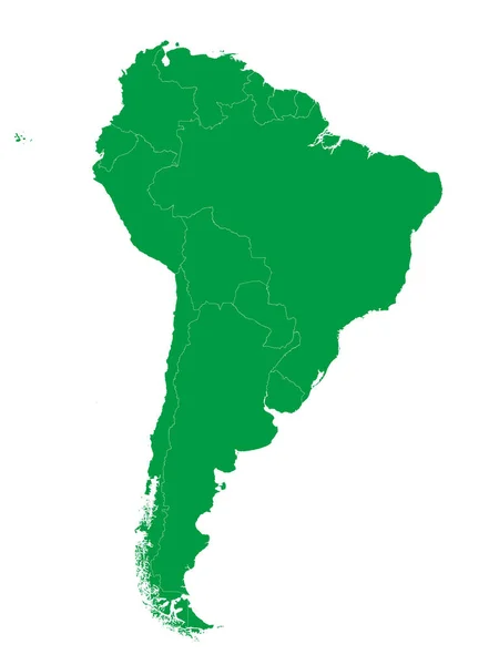
Green Flat Vector Map of South America With Country Borders on White Background
Green Flat Vector Map South America Country Borders White Background — Stock Vector
South america continent. Gray vector template.
South america continent. Gray vector template. — Stock Vector
Uruguay map design with flag and yellow background vector
Uruguay Map Design Flag Yellow Background Vector — Stock Vector
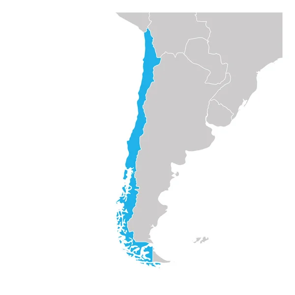
Map of Chile green highlighted with neighbor countries
Map of Chile green highlighted with neighbor countries — Stock Vector
Map and Flag of Argentina Vector Design Template with Editable Stroke
Map Flag Argentina Vector Design Template Editable Stroke — Stock Vector
Nueva Esparta state map, administrative division of Venezuela.
Nueva Esparta State Map Administrative Division Venezuela — Stock Vector
Map of South America color line element. Border of the country.
Map of South America color line element. Border of the country. — Stock Vector
Argentina map dark silhouette
Argentina map dark silhouette — Stock Vector
Black Location Map of the Argentinian Province of Jujuy within Grey Map of Argentina
Black Location Map Argentinian Province Jujuy Grey Map Argentina — Stock Vector
Accurate map of Venezuela
Accurate map of Venezuela — Stock Vector
Vector map Venezuela. Isolated vector Illustration. Black on White background. EPS 10 Illustration.
Vector Map Venezuela Isolated Vector Illustration Black White Background Eps — Stock Vector
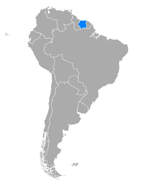
Map of Suriname in South America
Map Suriname South America — Stock Vector
Vector, earth planet and Location emblem
Vector Earth Planet Location Emblem — Stock Vector
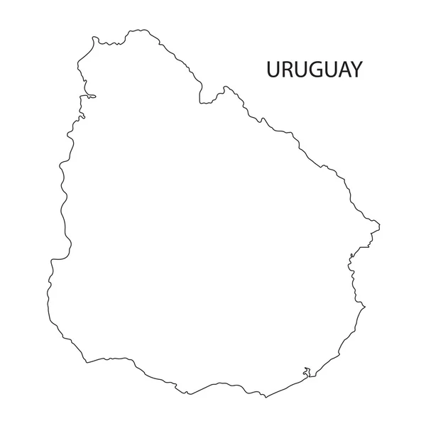
Outline of Uruguay map
Outline of Uruguay map — Stock Vector
Map of Venezuela
Map of Venezuela — Stock Vector
Argentina Map country
Argentina Map country — Stock Vector
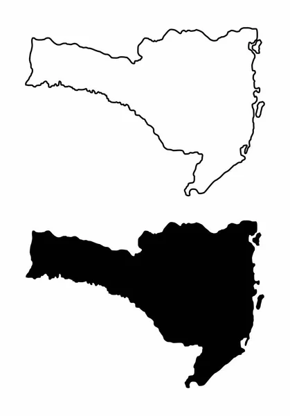
Black and white maps of the Santa Catarina State, Brazil
Black White Maps Santa Catarina State Brazil — Stock Vector
Map of Trinidad and Tobago in South America
Map Trinidad Tobago South America — Stock Vector
Outline on clean background of the continent of South America
Outline on clean background of the continent of South America — Stock Vector
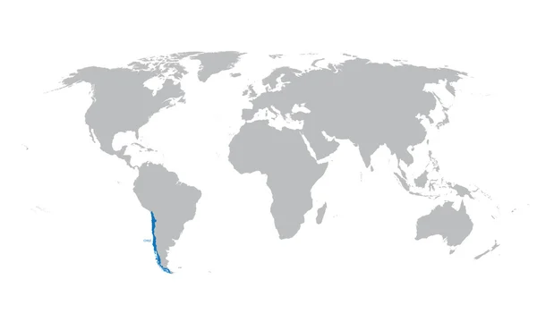
Grey map of the world with indication of Chile
Grey map of the world with indication of Chile — Stock Vector
Spain map
Spain map — Stock Vector
Uruguay flag Button
Uruguay flag Button — Stock Vector
Argentina on South America map vector. Vector illustration.
Argentina on South America map vector. Vector illustration. — Stock Vector
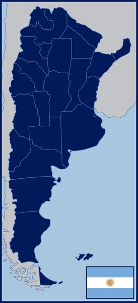
Blank Map and Flag of Argentina
Blank Map and Flag of Argentina — Stock Vector
Argentina - map of provinces
Argentina - map of provinces — Stock Vector
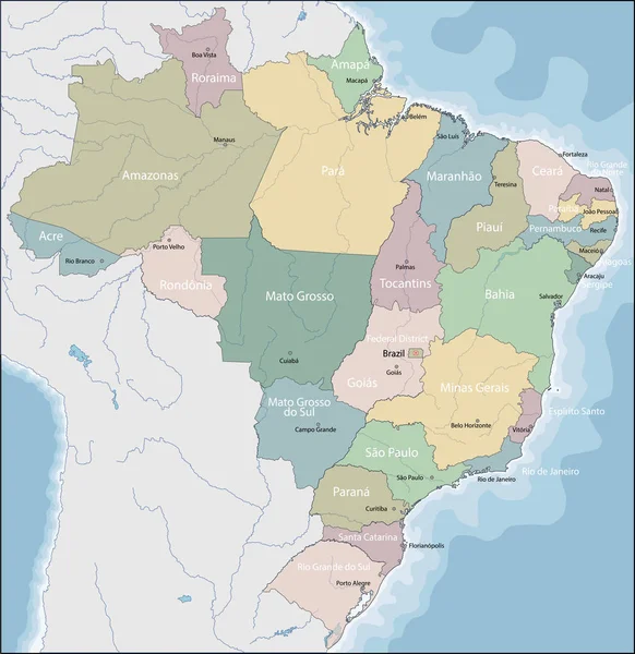
Map of Brazil
Map of Brazil — Stock Vector
Argentina silhouette maps
Argentina silhouette maps — Stock Vector
Political blank South America Map vector illustration isolated on white background. Editable and clearly labeled layers.
Political Blank South America Map Vector Illustration Isolated White Background — Stock Vector
Vector map of South America
Vector map of South America — Stock Vector
Territory of South America continent. White background
Territory South America Continent White Background — Stock Vector
Map of Trinidad and Tobago in South America
Map Trinidad Tobago South America — Stock Vector
White Flat Governorates Map of Asian Country of Oman
White Flat Governorates Map Asian Country Oman — Stock Vector
Uruguay Map - Mosaic of Lovely Hearts
Uruguay Map - Mosaic of Lovely Hearts — Stock Vector
Map of Argentina
Map of Argentina — Stock Vector
Alhucemas Islands (Kingdom of Spain, Mediterranean Sea) map vector illustration, scribble sketch Penon de Alhucemas, Isla de Tierra and de Mar map
Alhucemas Islands Kingdom Spain Mediterranean Sea Map Vector Illustration Scribble — Stock Vector
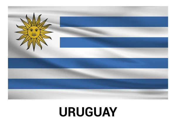
Flag of the country uruguay. Vector illustration.
Flag  of the country uruguay. Vector illustration. — Stock Vector
Map of Argentina
Map of Argentina — Stock Vector

Uruguay Map Vector Images: The Perfect Solution for Your Design Needs

When it comes to creating a visually stunning project, the right image can make all the difference. Whether you are designing for a website, print material, or anything in between, vector images offer a versatile and high-quality option. And if you're looking for a map image of Uruguay, you're in luck! Our collection of Uruguay map vector images provides everything you need to take your design to the next level.

The Types of Uruguay Map Vector Images We Offer

Our collection of Uruguay map vector images is extensive, so you are sure to find the perfect image for your project needs. We offer a variety of map images, including physical maps, political maps, and relief maps. Each image is available in various file formats, including AI, JPG, and EPS.

In addition to these different map types, we also offer a range of styles, including shaded relief maps, maps with borders and outlines, and maps with a minimalist design. No matter what your project needs are, our collection of Uruguay map vector images has something for you.

The Uses and Benefits of Our Uruguay Map Vector Images

Our Uruguay map vector images are perfect for a wide variety of uses. Whether you are creating a travel brochure, designing a website, or putting together a presentation, these images can help bring your project to life. And because these images are available in convenient vector formats, you can easily adjust their size and shape to fit your design needs.

Another key benefit of using vector images is that they offer high-quality resolution that does not degrade or pixelate when you resize them. This means that you can use our images for a range of projects, both print and digital, without having to worry about quality loss.

Tips for Using Uruguay Map Vector Images in Your Projects

When it comes to using images in your projects, there are a few tips to keep in mind to ensure you get the most out of them. First, consider the purpose of your project and choose a map image style that best fits your needs. For example, if you are creating a travel brochure, a shaded relief map might be the perfect choice. On the other hand, if you are designing a minimalist website, a simple outline map might work best.

It's also important to keep your audience in mind when choosing an image style. If you are creating a project for a younger audience, a more colorful and playful style might be best. For a more professional audience, a more muted and minimalist design might better suit their tastes.

Finally, be sure to choose an appropriate file format that works for your project needs. For print materials, a high-quality EPS file is an excellent choice. For digital materials, a JPG or AI file might be best.

Conclusion

Uruguay map vector images offer an excellent way to elevate your design project to the next level. With a wide range of styles and types to choose from, there is an image in our collection to fit your project needs. And with the high-quality resolution of vector images, you can trust that your project will look great in any format. So next time you're in need of an Uruguay map image, be sure to check out our collection of Uruguay map vector images.