Ward Stock Vector Images

100,000 Ward vector art & graphics are available under a royalty-free license

  • Best Match
  • Fresh
  • Popular
1-100 of 100,000
Hospital and healthcare banners set
Hospital and healthcare banners set — Stock Vector
A crest
A crest — Stock Vector
Angel wings
Angel wings — Stock Vector
Communication simple icon
Communication simple icon — Stock Vector
Hospital and healthcare banners set
Hospital and healthcare banners set — Stock Vector
Hospitalization of the patient. A sick person is in a medical be
Hospitalization of the patient. A sick person is in a medical be — Stock Vector
Wings vector white bird feather icons
Wings Vector White Bird Feather Icons — Stock Vector
Doctor and nurse visiting patient man lying bed with dropper intensive therapy ward healthcare concept hospital room interior modern medical clinic horizontal banner full length
Doctor and nurse visiting patient man lying bed with dropper intensive therapy ward healthcare concept hospital room interior modern medical clinic horizontal banner full length — Stock Vector
Vector black wing icons set
Vector black wing icons set — Stock Vector
Medical equipment and furniture in hospital.
Medical equipment and furniture in hospital. — Stock Vector
Old Man in Hospital Room. Vector Flat Illustration
Old Man in Hospital Room. Vector Flat Illustration — Stock Vector
Wings of angels
Wings of angels — Stock Vector
Realistic white wings, vector
Realistic white wings, vector — Stock Vector
Wizard Portrait 2
Wizard Portrait 2 — Stock Vector
Vector black wing icon set on white
Vector black wing icon set on white — Stock Vector
Letter A wing logo icon design template elements
Letter A wing logo icon design template elements — Stock Vector
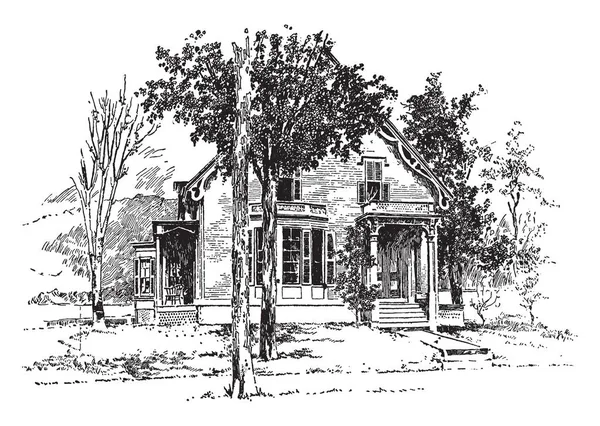
The picture shows the birthplace of Admiral Dewey. The house has many trees in the front yard out of these trees many are leafless, vintage line drawing or engraving illustration.
Picture Shows Birthplace Admiral Dewey House Has Many Trees Front — Stock Vector
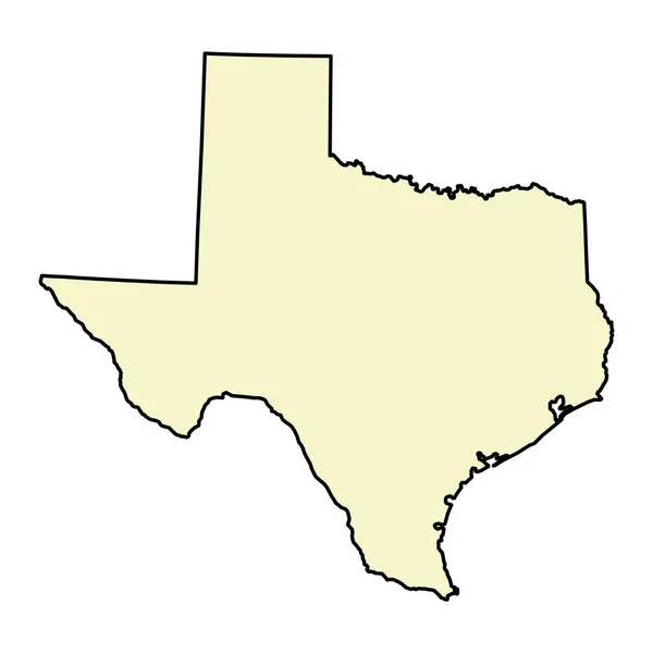
Texas map shape, united states of america. Flat concept icon symbol vector illustration .
Texas Map Shape United States America Flat Concept Icon Symbol — Stock Vector
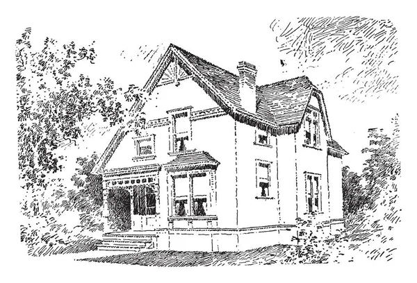
The Baldwin, quaint porch leads to the front door, independent living, false ashlar front facade and clapboarding, door is ornamented with a classic pediment and lights, vintage line drawing or engraving illustration.
Baldwin Quaint Porch Leads Front Door Independent Living False Ashlar — Stock Vector
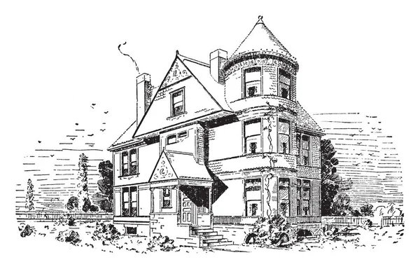
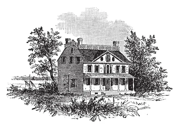
The Asbury, typical, round tower associated with this style, fun interactive and engaging, the end of the gabled roof, vintage line drawing or engraving illustration.
Asbury Typical Tower Associated Style Fun Interactive Engaging End Gabled — Stock Vector
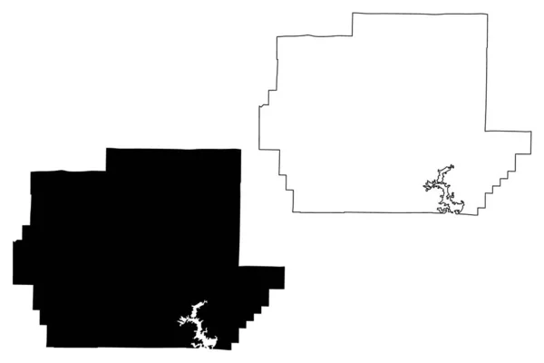
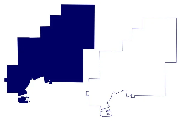
Wayne County, Missouri (U.S. county, United States of America, USA, U.S., US) map vector illustration, scribble sketch Wayne map
Wayne County Missouri County United States America Usa Map Vector — Stock Vector
Black flat blank highlighted location map of the HALTON HILLS MUNICIPALITY inside gray administrative map of Greater Toronto Area
Black Flat Blank Highlighted Location Map Halton Hills Municipality Gray — Stock Vector
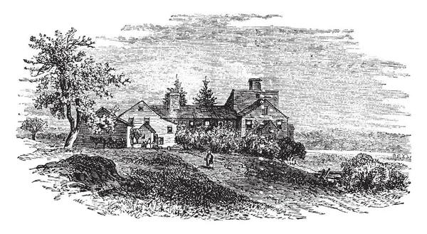
The Wentworth-Coolidge Mansion is a 40-room clapped house. It was declared a national historic landmark in 1968. This site is located in New Hampshire State Park, on 375 Little Harbor Road, vintage line drawing or engraving illustration.
Wentworth Coolidge Mansion Room Clapped House Declared National Historic Landmark — Stock Vector
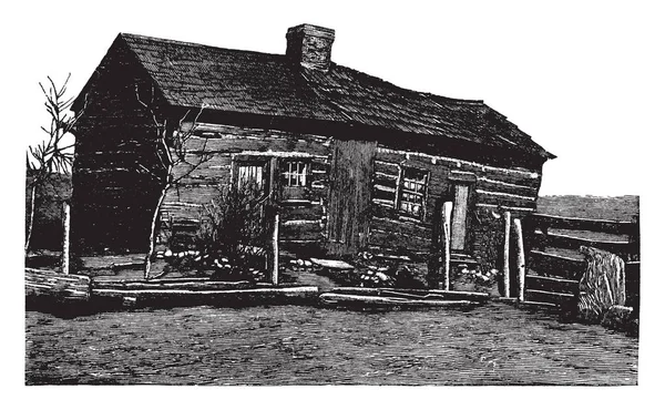
This is the childhood home of Abraham Lincoln in Farmington. This is very old house which was built with wooden stuff, vintage line drawing or engraving illustration.
Childhood Home Abraham Lincoln Farmington Very Old House Which Built — Stock Vector
Harvard College, liberal arts college of Harvard University, vintage line drawing or engraving illustration.
Harvard College Liberal Arts College Harvard University Vintage Line Drawing — Stock Vector
Freehand drawing of village landscape with rural houses and trees
Freehand Drawing Village Landscape Rural Houses Trees — Stock Vector
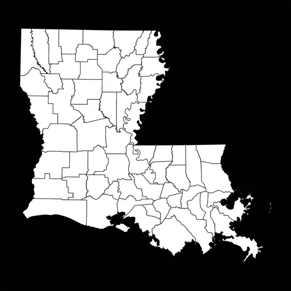
Louisiana state map with counties. Vector illustration.
Louisiana State Map Counties Vector Illustration — Stock Vector
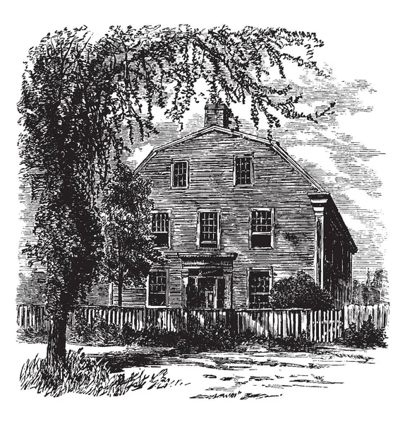
Gambrel roof is House in New England, it was in 1765, shallower slope above a steeper one, small gable forming the upper part, vintage line drawing or engraving illustration.
Gambrel Roof House New England 1765 Shallower Slope Steeper One — Stock Vector
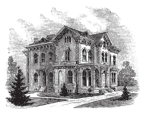
Suburban residence in the Italian style, vintage engraved illustration
Suburban Residence Italian Style Vintage Engraved Illustration — Stock Vector
Brescia, city, Lombardy, Italy, old engraved illustration of Brescia, city, Lombardy, Italy, 1890s.
Brescia City Lombardy Italy Old Engraved Illustration Brescia City Lombardy — Stock Vector
The house in which President Abraham Lincoln died, carrying a board, with the date of death, vintage line drawing or engraving illustration.
House Which President Abraham Lincoln Died Carrying Board Date Death — Stock Vector
Black highlighted location map of the Illinoisan Lawrence County inside gray map of the Federal State of Illinois, USA
Black Highlighted Location Map Illinoisan Lawrence County Gray Map Federal — Stock Vector
Black highlighted location map of the Greeley County inside gray map of the Federal State of Nebraska, USA
Black Highlighted Location Map Greeley County Gray Map Federal State — Stock Vector
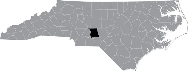
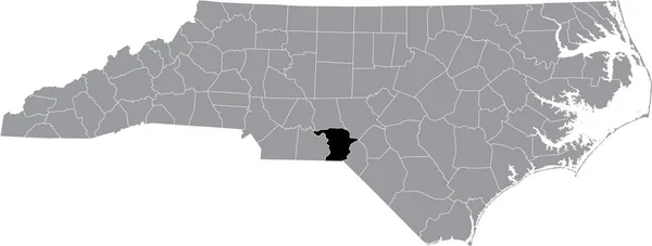
Black highlighted location map of the Montgomery County inside gray administrative map of the Federal State of North Carolina, USA
Black Highlighted Location Map Montgomery County Gray Administrative Map Federal — Stock Vector
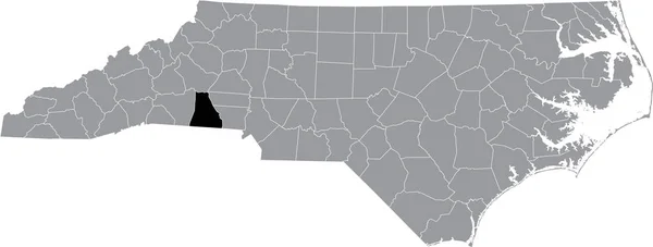
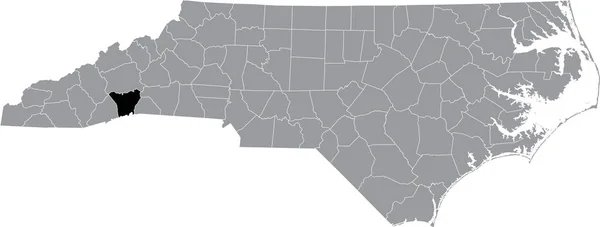
Black highlighted location map of the Cleveland County inside gray administrative map of the Federal State of North Carolina, USA
Black Highlighted Location Map Cleveland County Gray Administrative Map Federal — Stock Vector
White vector administrative map of the Federal State of Vermont, USA with black borders and name tags of its counties
White Vector Administrative Map Federal State Vermont Usa Black Borders — Stock Vector
Georgia vector map silhouette. High detailed illustration. United state of America country
Georgia vector map silhouette. High detailed illustration. United state of America country — Stock Vector
Black highlighted location map of the Henderson County inside gray administrative map of the Federal State of North Carolina, USA
Black Highlighted Location Map Henderson County Gray Administrative Map Federal — Stock Vector
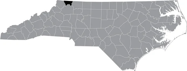
Black highlighted location map of the Alleghany County inside gray administrative map of the Federal State of North Carolina, USA
Black Highlighted Location Map Alleghany County Gray Administrative Map Federal — Stock Vector
Black highlighted location map of the Moore County inside gray administrative map of the Federal State of North Carolina, USA
Black Highlighted Location Map Moore County Gray Administrative Map Federal — Stock Vector
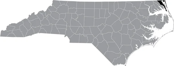
Black highlighted location map of the Dare County inside gray administrative map of the Federal State of North Carolina, USA
Black Highlighted Location Map Dare County Gray Administrative Map Federal — Stock Vector
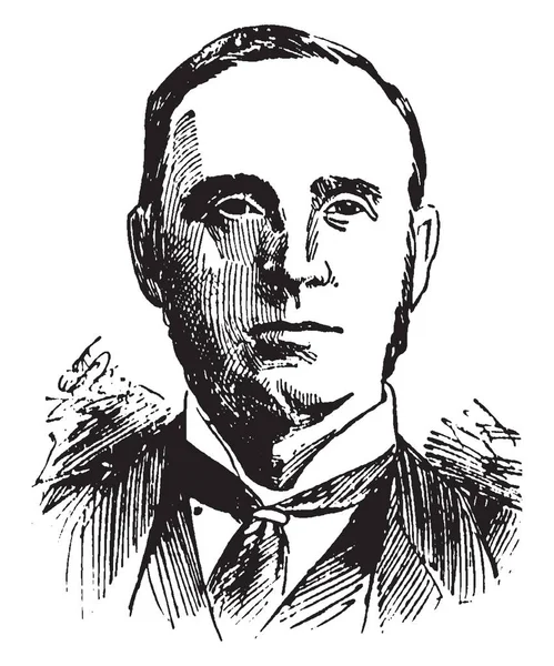
Viscount Morley, 1838-1923, he was a British Liberal statesman, writer and newspaper editor, vintage line drawing or engraving illustration
Viscount Morley 1838 1923 British Liberal Statesman Writer Newspaper Editor — Stock Vector
Fridtjof Nansen, 1861-1930, he was a Norwegian explorer, scientist, diplomat, humanitarian and Nobel peace prize laureate, vintage line drawing or engraving illustration
Fridtjof Nansen 1861 1930 Norwegian Explorer Scientist Diplomat Humanitarian Nobel — Stock Vector
Black highlighted location map of the Haywood County inside gray administrative map of the Federal State of Tennessee, USA
Black Highlighted Location Map Haywood County Gray Administrative Map Federal — Stock Vector
Black highlighted location map of the Atchison County inside gray map of the Federal State of Missouri, USA
Black Highlighted Location Map Atchison County Gray Map Federal State — Stock Vector
Black highlighted location map of the Camden County inside gray administrative map of the Federal State of North Carolina, USA
Black Highlighted Location Map Camden County Gray Administrative Map Federal — Stock Vector
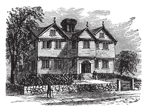
The William Pepperrell House is a historic house at 94 Pepperrell Road (Maine State Route 103) in Kittery Point, Maine, vintage line drawing or engraving illustration.
William Pepperrell House Historic House Pepperrell Road Maine State Route — Stock Vector
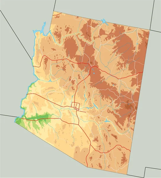
High detailed Arizona physical map.
High Detailed Arizona Physical Map — Stock Vector
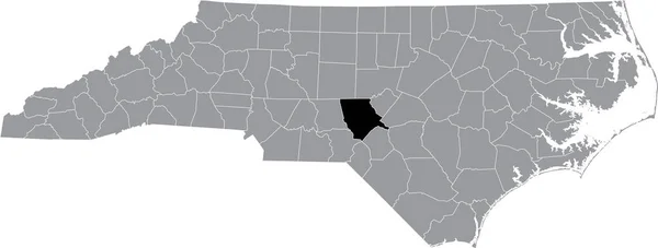
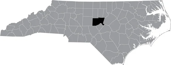
Black highlighted location map of the Chatham County inside gray administrative map of the Federal State of North Carolina, USA
Black Highlighted Location Map Chatham County Gray Administrative Map Federal — Stock Vector
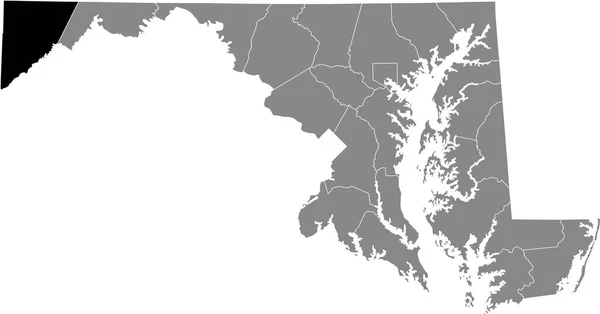
Black highlighted location map of the Garrett County inside gray map of the Federal State of Maryland, USA
Black Highlighted Location Map Garrett County Gray Map Federal State — Stock Vector
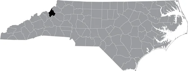
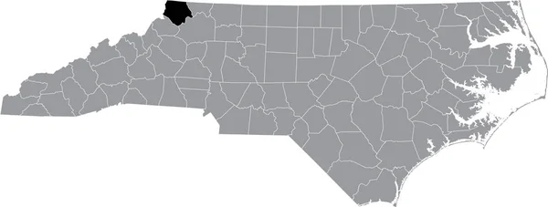
Black highlighted location map of the Avery County inside gray administrative map of the Federal State of North Carolina, USA
Black Highlighted Location Map Avery County Gray Administrative Map Federal — Stock Vector
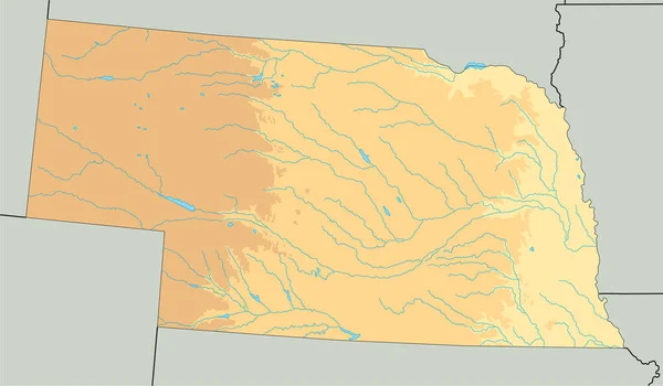
High detailed Nebraska physical map.
High Detailed Nebraska Physical Map — Stock Vector
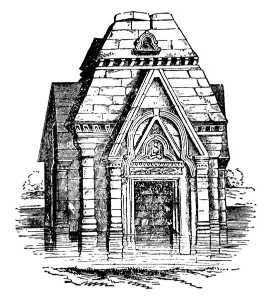
Temple, Pandrethan, A Gothic diaper ornament, carved or painted surface, flowers or simple figures, vintage line drawing or engraving illustration.
Temple Pandrethan Gothic Diaper Ornament Carved Painted Surface Flowers Simple — Stock Vector
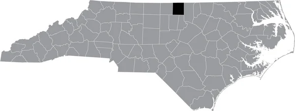
Black highlighted location map of the Person County inside gray administrative map of the Federal State of North Carolina, USA
Black Highlighted Location Map Person County Gray Administrative Map Federal — Stock Vector
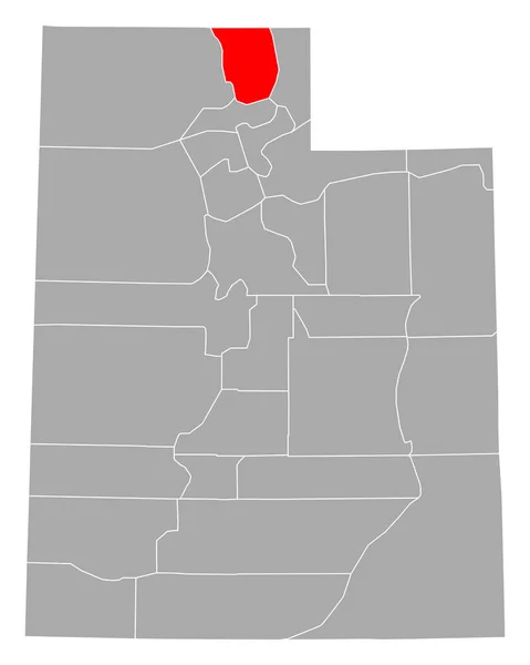
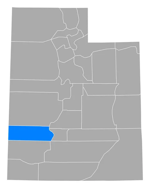
Map of Cache in Utah
Map Cache Utah — Stock Vector
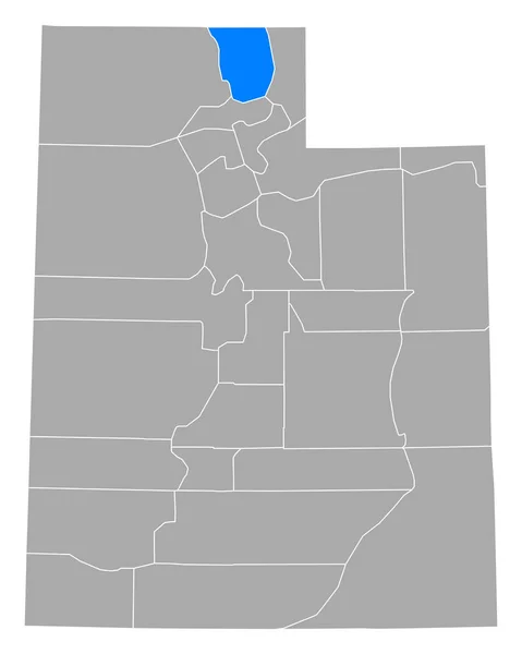
Map of Cache in Utah
Map Cache Utah — Stock Vector
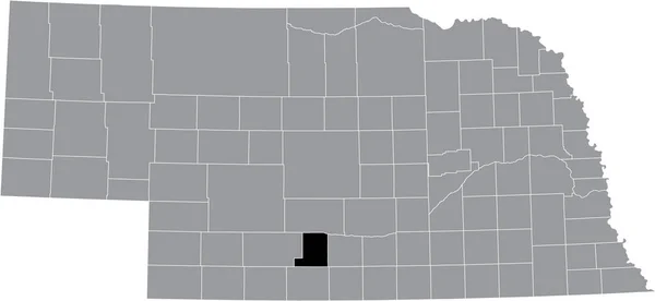
Black highlighted location map of the Gosper County inside gray map of the Federal State of Nebraska, USA
Black Highlighted Location Map Gosper County Gray Map Federal State — Stock Vector
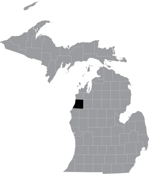
Black highlighted location map of the Manistee County inside gray map of the Federal State of Michigan, USA
Black Highlighted Location Map Manistee County Gray Map Federal State — Stock Vector
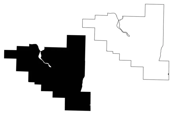
Pulaski County, Arkansas (U.S. county, United States of America,USA, U.S., US) map vector illustration, scribble sketch Pulaski map
Pulaski County, Arkansas (U.S. county, United States of America,USA, U.S., US) map vector illustration, scribble sketch Pulaski map — Stock Vector
Black highlighted location map of the Hickman County inside gray administrative map of the Federal State of Tennessee, USA
Black Highlighted Location Map Hickman County Gray Administrative Map Federal — Stock Vector
Eugene V. Debs, 1855-1926, he was an American union leader, one of the founding members of the Industrial workers of the world, vintage line drawing or engraving illustration
Eugene Debs 1855 1926 American Union Leader One Founding Members — Stock Vector
Two-story house of the late 19th century in a European city, courtyard facade, vector illustration
Two-story house of the late 19th century in a European city, courtyard facade, vector illustration — Stock Vector
Black highlighted location map of the Illinoisan Adams County inside gray map of the Federal State of Illinois, USA
Black Highlighted Location Map Illinoisan Adams County Gray Map Federal — Stock Vector
It is a house of Roger William, vintage line drawing or engraving illustration.
House Roger William Vintage Line Drawing Engraving Illustration — Stock Vector
Black highlighted location map of the Richmond County inside gray administrative map of the Federal State of North Carolina, USA
Black Highlighted Location Map Richmond County Gray Administrative Map Federal — Stock Vector
Black highlighted location map of the Columbus County inside gray administrative map of the Federal State of North Carolina, USA
Black Highlighted Location Map Columbus County Gray Administrative Map Federal — Stock Vector
Westover Plantation is located on the north coast of the James River in Charles City County, Virginia. The house is remarkable for its secret path, magnificent gardens, and architectural details, vintage line drawing or engraving illustration.
Westover Plantation Located North Coast James River Charles City County — Stock Vector
Black highlighted location map of the Wayne County inside gray administrative map of the Federal State of North Carolina, USA
Black Highlighted Location Map Wayne County Gray Administrative Map Federal — Stock Vector
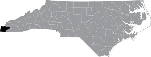
Black highlighted location map of the Cherokee County inside gray administrative map of the Federal State of North Carolina, USA
Black Highlighted Location Map Cherokee County Gray Administrative Map Federal — Stock Vector
Black flat blank highlighted location map of the SCUGOG MUNICIPALITY inside gray administrative map of Greater Toronto Area
Black Flat Blank Highlighted Location Map Scugog Municipality Gray Administrative — Stock Vector
Charleston Harbor is an inlet of the Atlantic Ocean at Charleston South Carolina, vintage line drawing or engraving illustration.
Charleston Harbor Inlet Atlantic Ocean Charleston South Carolina Vintage Line — Stock Vector
Black flat blank highlighted location map of the TORONTO MUNICIPALITY inside gray administrative map of Greater Toronto Area
Black Flat Blank Highlighted Location Map Toronto Municipality Gray Administrative — Stock Vector
Map of Beaver in Utah
Map Beaver Utah — Stock Vector
Black highlighted location map of the Edgecombe County inside gray administrative map of the Federal State of North Carolina, USA
Black Highlighted Location Map Edgecombe County Gray Administrative Map Federal — Stock Vector
Black highlighted location map of the Mauritanian Assaba region inside gray map of the Islamic Republic of Mauritania
Black Highlighted Location Map Mauritanian Assaba Region Gray Map Islamic — Stock Vector
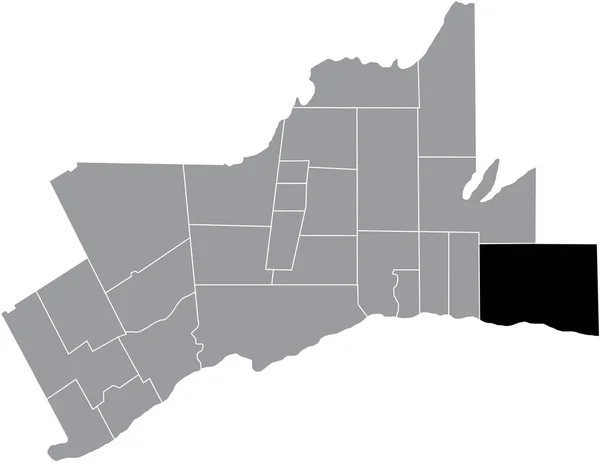
Black flat blank highlighted location map of the CLARINGTON MUNICIPALITY inside gray administrative map of Greater Toronto Area
Black Flat Blank Highlighted Location Map Clarington Municipality Gray Administrative — Stock Vector
Black highlighted location map of the Catawba County inside gray administrative map of the Federal State of North Carolina, USA
Black Highlighted Location Map Catawba County Gray Administrative Map Federal — Stock Vector
Catoosa County, Georgia (U.S. county, United States of America,USA, U.S., US) map vector illustration, scribble sketch Catoosa map
Catoosa County Georgia County United States America Usa Map Vector — Stock Vector
Black flat blank highlighted location map of the OSHAWA MUNICIPALITY inside gray administrative map of Greater Toronto Area
Black Flat Blank Highlighted Location Map Oshawa Municipality Gray Administrative — Stock Vector
Longfellow House, Massachusetts, Cambridge , old engraved illustration of Longfellow House, Massachusetts, Cambridge , America, 1890s.
Longfellow House Massachusetts Cambridge Old Engraved Illustration Longfellow House Massachusetts — Stock Vector
Map of Williamsburg in South Carolina
Map Williamsburg South Carolina — Stock Vector
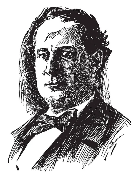
William Jennings Bryan, 1860-1925, he was an American orator and politician from Nebraska, he also served in the U.S. house of representatives and as the U.S. secretary of state, vintage line drawing or engraving illustration
William Jennings Bryan 1860 1925 American Orator Politician Nebraska Also — Stock Vector
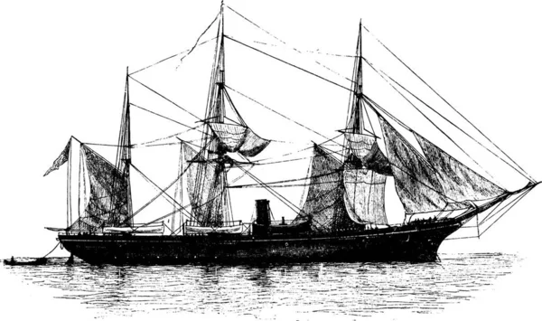
Ship, engraved simple vector illustration
Ship Engraved Simple Vector Illustration — Stock Vector
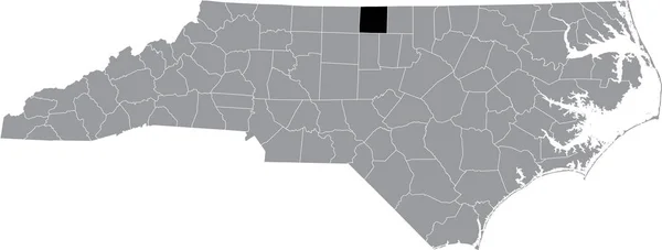
Black highlighted location map of the Caswell County inside gray administrative map of the Federal State of North Carolina, USA
Black Highlighted Location Map Caswell County Gray Administrative Map Federal — Stock Vector
Black highlighted location map of the Lee County inside gray administrative map of the Federal State of North Carolina, USA
Black Highlighted Location Map Lee County Gray Administrative Map Federal — Stock Vector
Greater Sudbury city (Canada, Ontario Province, North America) map vector illustration, scribble sketch Grand Sudbury map
Greater Sudbury City Canada Ontario Province North America Map Vector — Stock Vector
Black flat blank highlighted location map of the LA VALLE-DU-RICHELIEU Regional County Municipality inside gray administrative map of Montrgie, Quebec, Canada
Black Flat Blank Highlighted Location Map Valle Richelieu Regional County — Stock Vector
Hot Spring County, Arkansas (U.S. county, United States of America,USA, U.S., US) map vector illustration, scribble sketch Hot Spring map
Hot Spring County, Arkansas (U.S. county, United States of America,USA, U.S., US) map vector illustration, scribble sketch Hot Spring map — Stock Vector
Black highlighted location map of the Johnston County inside gray administrative map of the Federal State of North Carolina, USA
Black Highlighted Location Map Johnston County Gray Administrative Map Federal — Stock Vector
Map of Ouray in Colorado
Map Ouray Colorado — Stock Vector
Black highlighted location map of the Ashe County inside gray administrative map of the Federal State of North Carolina, USA
Black Highlighted Location Map Ashe County Gray Administrative Map Federal — Stock Vector
Black highlighted location map of the McPherson County inside gray map of the Federal State of Nebraska, USA
Black Highlighted Location Map Mcpherson County Gray Map Federal State — Stock Vector
Black highlighted location map of the Allegany County inside gray map of the Federal State of Maryland, USA
Black Highlighted Location Map Allegany County Gray Map Federal State — Stock Vector
Longfellow ,House, Massachusetts, Cambridge , America, vintage
Longfellow ,House, Massachusetts, Cambridge , America, vintage — Stock Vector
Black highlighted location map of the Currituck County inside gray administrative map of the Federal State of North Carolina, USA
Black Highlighted Location Map Currituck County Gray Administrative Map Federal — Stock Vector
Nebraska map shape, united states of america. Flat concept icon symbol vector illustration .
Nebraska Map Shape United States America Flat Concept Icon Symbol — Stock Vector
The image depicts the Beekman Mansion;
Image Depicts Beekman Mansion — Stock Vector
Black highlighted location map of the Pender County inside gray administrative map of the Federal State of North Carolina, USA
Black Highlighted Location Map Pender County Gray Administrative Map Federal — Stock Vector
Coat of arms Hahnstaetten in Rhein-Lahn-Kreis of Rhineland-Palat
Coat of arms Hahnstaetten in Rhein-Lahn-Kreis of Rhineland-Palat — Stock Vector
Black highlighted location map of the Perry County inside gray administrative map of the Federal State of Tennessee, USA
Black Highlighted Location Map Perry County Gray Administrative Map Federal — Stock Vector

Find Your Perfect Ward Vector

Vector images have become an essential element of design, used to give visual representation and style to a range of projects. When it comes to finding the perfect vector image, it can be a daunting task. That’s why our ward vector page is the right place to start exploring.

Our Images

Our vector images feature a range of ward-related themes, ranging from hospital ward to prison ward graphics. Our selection offers high-quality illustrations that represent the concept of ward, ensuring the best possible visual representation whichever the project. Our vector images are highly adaptable across all types of design, from infographics to billboards.

Type of Files

We have three types of files available on our website: JPG, AI and EPS. JPG are the most common and versatile file type, easily editable in every photo editing software. While AI and EPS are more complex, saved in vector format and are primarily designed for professional editing software such as Adobe Illustrator. These types of files will allow for more precise editing, creating an image that is almost unlimited in scale.

How to Use our Vector Images

Our images are perfect for enhancing web pages, presentations, and other types of marketing content, allowing you to create an eye-catching design. With vector images, you can create high-quality custom images and maintain their quality even in the smallest sizes. These vectors can be used as backgrounds or as a standalone element to make your project stand out.

Why Choose Our Images?

Whether you are creating a promotional email campaign or designing a website, our ward vector images cater to a range of needs and are sure to provide creativity to your project. Our images are easy to adapt, versatile and professional. We understand the importance of selecting the right image to fit your project. That’s why our selection of the finest vector images has been handpicked, offering a wide variety of themes and ensuring the perfect fit for everyone.

Whatever your project may be, our images can take it to a new level of modern design. Choose from our range of ward vector images that is sure to bring professionalism and consistency across your visual content.