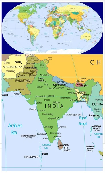
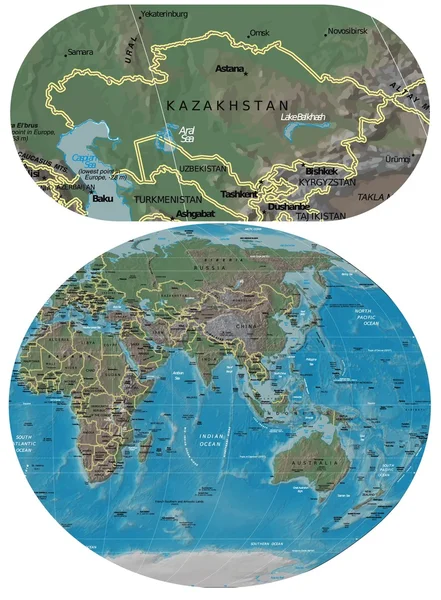
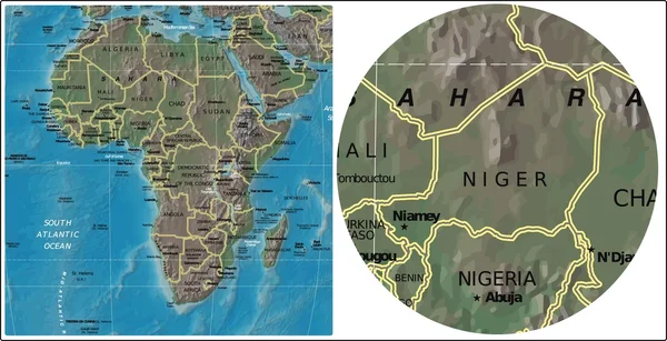
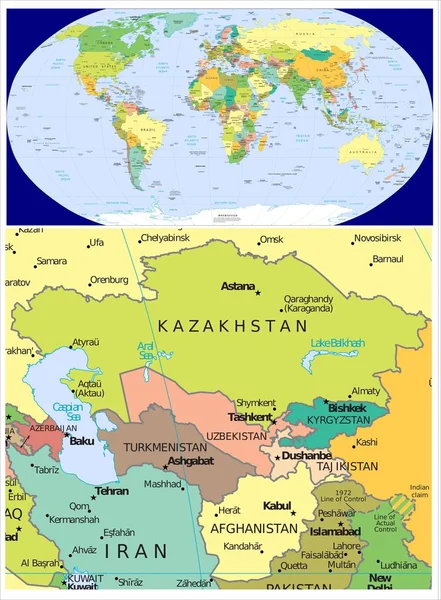
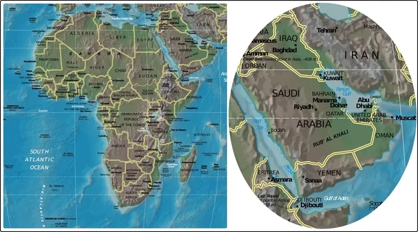
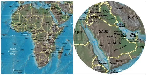
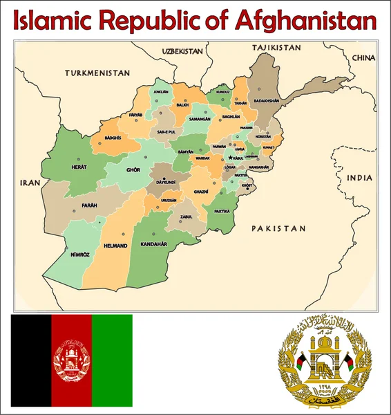
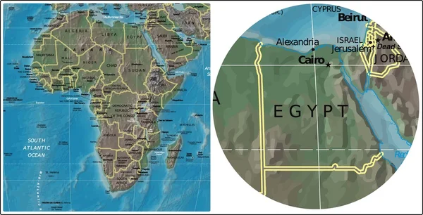
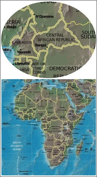
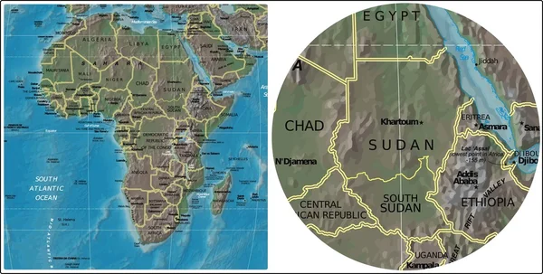
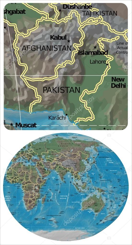
Afghanistan Pakistan and Asia Oceania map — Stock Vector

Afghanistan Pakistan and Asia Oceania map — Vector

Afghanistan Pakistan enlarged from Asia Oceania map

 — Vector by JRTBurr

Similar Stock Videos:

World map isolated on white
World map — Stock Video
Outbreak of infection in Italy and air travel. coronavirus. 3D rendering
Outbreak Infection Italy Air Travel Coronavirus Rendering — Stock Video
Outbreak of infection in Italy and air travel. coronavirus. 3D rendering
Outbreak Infection Italy Air Travel Coronavirus Rendering — Stock Video
CCTV scan - screen - technology
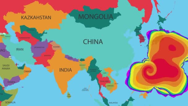
Asia - Closeup - Map - High Tech - Scanning - colors — Stock Video
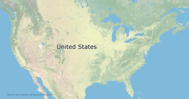
Soft colors of mountains and forests. Map of New York. Zoom from a world map to a map of New York. 4K FHD 60 fps animation.
Soft colors of mountains and forests. Map of New York. World map. Map of the USA. Zoom from a world map to a map of New York. Zoom from USA map to New York map. 4K FHD 60 fps animation. — Stock Video
Sailing the ocean of the globe or map animationAnimation of sailing boat on map unfolding old globe transforming in realistic sphere of the world. Route of sailing around the world contest or clipper race like the volvo ocean race. Made in 4K.
Sailing Ocean Globe Map Animationanimation Sailing Boat Map Unfolding Old — Stock Video
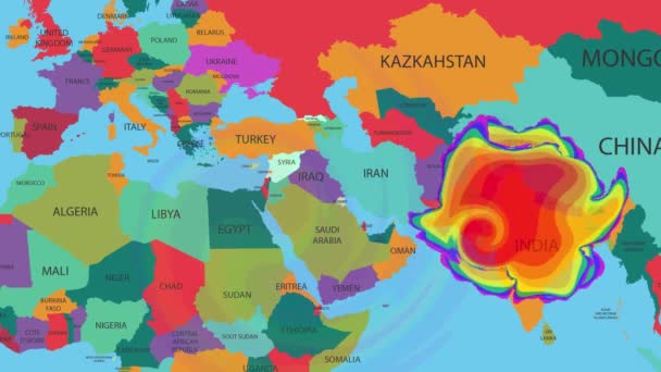
Hurricane or windstorm forecast animation on world map as seen on weather radar and satellite screen. A weather map tracks Hurricane on world map.
Hurricane Windstorm Forecast Animation World Map Seen Weather Radar Satellite — Stock Video
A weather map tracks Hurricane on world map.
Hurricane or windstorm forecast animation on world map as seen on weather radar and satellite screen. A weather map tracks Hurricane on world map. — Stock Video
Digital earth data globe - abstract 3D rendering satellites starlink video network connection the world. satellites create oneweb or skybridge surrounding planet conveying complexity big data flood
Digital earth data globe - abstract 3D rendering satellites starlink video network connection the world. satellites create oneweb or skybridge surrounding planet conveying complexity big data flood — Stock Video
Moving around cork globe on white background
Moving Cork Globe White Background — Stock Video
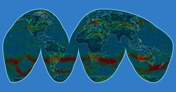
Wind speed over the Earth's surface. Interrupted Goode Homolosine projection. SVS/GSFC/NASA dataset ID: 4240
Wind Speed Earth Surface Interrupted Goode Homolosine Projection Svs Gsfc — Stock Video
East Indies in planet Earth, view from outer space
East Indies Planet Earth View Outer Space — Stock Video
A world map and connection line all over the world
A growing network across the world — Stock Video
World Map Flight Over Background/ 4k animation of a multicolored world map travel background flight over with ocean, countries and cities names
World Map Flight Background Animation Multicolored World Map Travel Background — Stock Video
The top of a globe viewed as it spins, close up
The top of a globe viewed as it spins — Stock Video
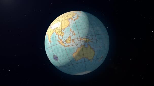
Retro globe item zoom in, stock footage
Retro Globe Item Zoom Stock Footage — Stock Video
Blurred background of map of the world, close up
Blurred Background Map World Close — Stock Video
Screen scanning - world map
World - Digital Screen - Green - Below. — Stock Video

Usage Information

You can use this royalty-free vector image "Afghanistan Pakistan and Asia Oceania map" for personal and commercial purposes according to the Standard or Extended License. The Standard License covers most use cases, including advertising, UI designs, and product packaging, and allows up to 500,000 print copies. The Extended License permits all use cases under the Standard License with unlimited print rights and allows you to use the downloaded vector files for merchandise, product resale, or free distribution.

This stock vector image is scalable to any size. You can buy and download it in high resolution up to 1886x3504. Upload Date: Jul 22, 2016