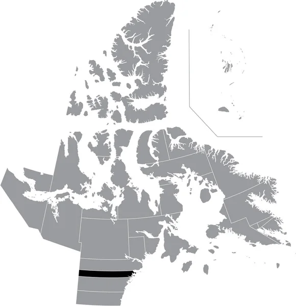
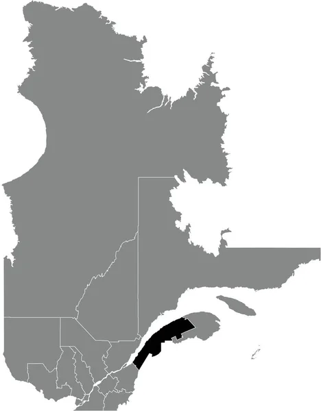
Black Flat Blank Highlighted Location Map Aggu District Gray Administrative — Stock Vector

Black flat blank highlighted location map of the AGGU District inside gray administrative map of the territorial electoral districts of Canadian territory of Nunavut, Canada — Vector

Black flat blank highlighted location map of the AGGU District inside gray administrative map of the territorial electoral districts of Canadian territory of Nunavut, Canada

 — Vector by momcilo.jovanov

Same Series:

Black flat blank highlighted location map of the RANKIN INLET SOUTH District inside gray administrative map of the territorial electoral districts of Canadian territory of Nunavut, Canada
Black Flat Blank Highlighted Location Map Rankin Inlet South District — Stock Vector
Black flat blank highlighted location map of the KENORA DISTRICT inside gray administrative map of the Canadian province of Ontario, Canada
Black Flat Blank Highlighted Location Map Kenora District Gray Administrative — Stock Vector
Black flat blank highlighted location map of the KIVALLIQ-KEEWATIN Region inside gray administrative map of the Canadian territory of Nunavut, Canada
Black Flat Blank Highlighted Location Map Kivalliq Keewatin Region Gray — Stock Vector
Gray flat blank vector administrative map of Canadian province of ONTARIO, CANADA with white border lines of its municipalities, counties and districts
Gray Flat Blank Vector Administrative Map Canadian Province Ontario Canada — Stock Vector
Gray flat blank vector administrative map of counties of Canadian province of PRINCE EDWARD ISLAND, CANADA with white border lines of its counties
Gray Flat Blank Vector Administrative Map Counties Canadian Province Prince — Stock Vector
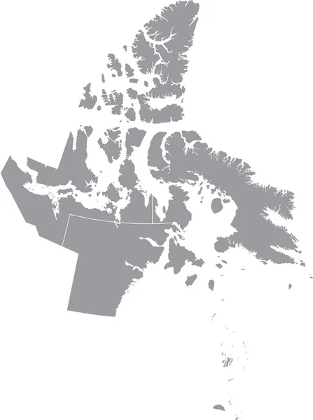
Gray flat blank vector administrative map of the regions of Canadian territory of NUNAVUT, CANADA with white border lines of its regions
Gray Flat Blank Vector Administrative Map Regions Canadian Territory Nunavut — Stock Vector
Black flat blank highlighted location map of the HALEITI OG BSTAIR DISTRICT inside gray administrative map of Reykjavik, Iceland
Black Flat Blank Highlighted Location Map Haleiti Bstair District Gray — Stock Vector
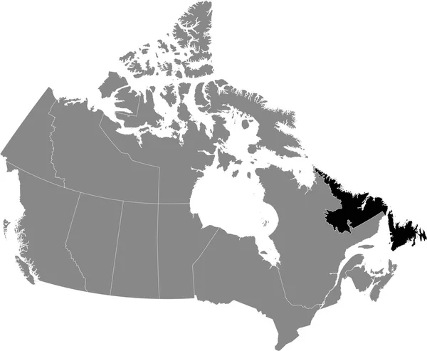
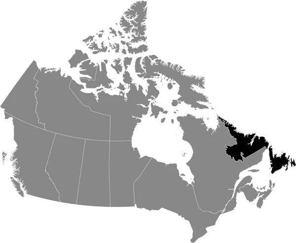
Black location map of Newfoundland and Labrador province inside gray map of Canada
Black Location Map Newfoundland Labrador Province Gray Map Canada — Stock Vector
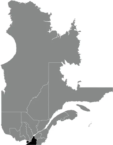
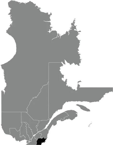
Black flat blank highlighted location map of the MONTEREGIE Region inside gray administrative map of the Canadian province of Quebec, Canada
Black Flat Blank Highlighted Location Map Monteregie Region Gray Administrative — Stock Vector
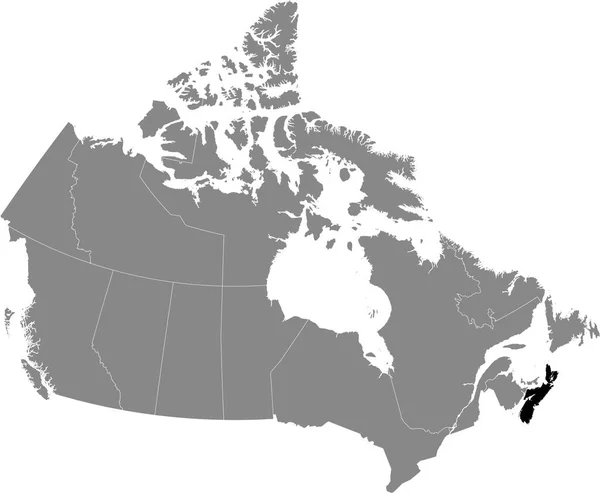
Black location map of Nova Scotia province inside gray map of Canada
Black Location Map Nova Scotia Province Gray Map Canada — Stock Vector
Black flat blank highlighted locator administrative map of the Canadian province of NOVA SCOTIA inside gray flat map of CANADA
Black Flat Blank Highlighted Locator Administrative Map Canadian Province Nova — Stock Vector
Black flat blank highlighted locator administrative map of the Canadian territory of NEWFOUNDLAND AND LABRADOR inside gray flat map of CANADA
Black Flat Blank Highlighted Locator Administrative Map Canadian Territory Newfoundland — Stock Vector
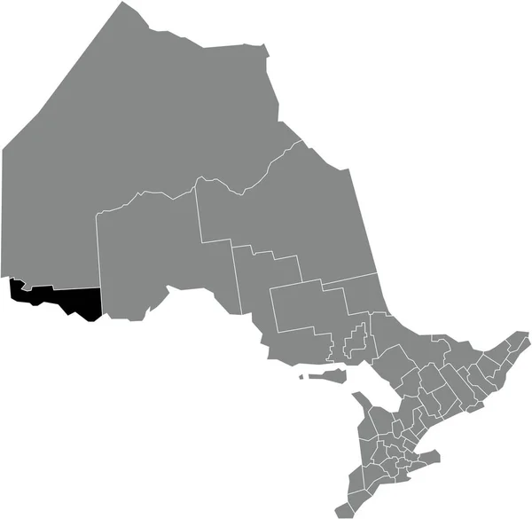
Black flat blank highlighted location map of the RAINY RIVER DISTRICT inside gray administrative map of the Canadian province of Ontario, Canada
Black Flat Blank Highlighted Location Map Rainy River District Gray — Stock Vector
Black flat blank highlighted location map of the ESTRIE Region inside gray administrative map of the Canadian province of Quebec, Canada
Black Flat Blank Highlighted Location Map Estrie Region Gray Administrative — Stock Vector
Black flat blank highlighted location map of the BAS-SAINT-LAURENT Region inside gray administrative map of the Canadian province of Quebec, Canada
Black Flat Blank Highlighted Location Map Bas Saint Laurent Region — Stock Vector
Black location map of canadian Northwest Territories inside gray map of Canada
Black Location Map Canadian Northwest Territories Gray Map Canada — Stock Vector

Similar Stock Videos:

South Korea animated map in blue on a white background. Motion design 4K
South Korea animated map in blue on a white background. Motion design — Stock Video
Watercolor animated map showing the state of Arkansas from the united state of American. 2d map of Arkansas. 4k Motion graphics.
Watercolor animated map showing the state of Arkansas from the united state of American. 2d map of Arkansas. — Stock Video
3d animation of Europe map formed by individual countries
3d animation of Europe map formed by individual countries — Stock Video
Poppy flower line art. Minimalist contour drawing. One line artwork.
Poppy Flower Line Art Minimalist Contour Drawing One Line Artwork — Stock Video
Animated cartography with bokeh in background showing the United Kingdom being erased from the European Union map
Animated cartography with bokeh in background showing the United Kingdom — Stock Video
Animation of the map of East Asia region
Animation of the map of East Asia — Stock Video
Abstract line animation Louisiana State of USA on hexagon style. Louisiana state. United States of America. Outline map of Louisiana federal state highlighted from map of USA.
Abstract line animation Louisiana State of USA on hexagon style. Louisiana state. United States of America. Outline map of Louisiana federal state highlighted from map of USA — Stock Video
Bosnia Herzegovina with flag on world map
Bosnia Herzegovina with flag on world map — Stock Video
3d animation of USA map, loop with alpha matte for compositing
3d animation of USA map, loop with alpha matte for compositing — Stock Video
Line animated map showing the state of Minnesota from the united state of america. Motion graphics
Line animated map showing the state of Minnesota from the united state of america. Motion graphics. — Stock Video
Drawing outline borders Peoples Republic China silhouette, borders contour maps PRC. High quality 4k footage
Drawing outline borders Peoples Republic China silhouette, borders contour maps PRC — Stock Video
Thailand Map Showing Up Intro By Regions 4k animated Thailand map intro background with countries appearing and fading one by one and camera movement.
Thailand Map Showing Up Intro By Regions 4k animated Thailand map intro background with countries appearing and fading one by one and camera movement — Stock Video
Abstract line animation New York State of USA on hexagon style. New York state. United States of America. Outline map of New York federal state highlighted from map of USA.
Abstract line animation New York State of USA on hexagon style. New York state. United States of America. Outline map of New York federal state highlighted from map of USA — Stock Video
New York State of the United States of America. Animated line location marker on the map. Easy to use with screen transparency mode on your video. 4k
New York State of the United States of America. Animated line location marker on the map. Easy to use with screen transparency mode on your video. — Stock Video
Canada map highlighted in Canada flag colors and pin of country capital Ottawa.
Canada map highlighted in Canada flag colors and pin of country — Stock Video
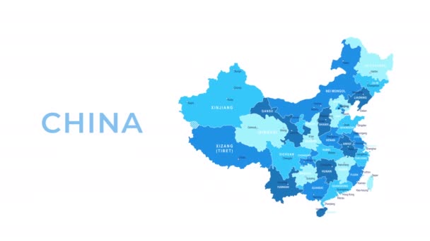
China Map - Motion Graphic Cartoon Animation Footage. 4K Resolution Video. Transparency Alpha Channel Included. White Background
China Map Motion Graphic Cartoon Animation Footage Resolution Video Transparency — Stock Video
Abstract line animation Oregon State of USA on hexagon style. Oregon state. United States of America. Outline map of Oregon federal state highlighted from map of USA.
Abstract line animation Oregon State of USA on hexagon style. Oregon state. United States of America. Outline map of Oregon federal state highlighted from map of USA — Stock Video
Washington State of the United States of America. Animated line location marker on the map. Easy to use with screen transparency mode on your video. 4k
Washington State of the United States of America. Animated line location marker on the map. Easy to use with screen transparency mode on your video. — Stock Video

Usage Information

You can use this royalty-free vector image "Black flat blank highlighted location map of the AGGU District inside gray administrative map of the territorial electoral districts of Canadian territory of Nunavut, Canada" for personal and commercial purposes according to the Standard or Extended License. The Standard License covers most use cases, including advertising, UI designs, and product packaging, and allows up to 500,000 print copies. The Extended License permits all use cases under the Standard License with unlimited print rights and allows you to use the downloaded vector files for merchandise, product resale, or free distribution.

This stock vector image is scalable to any size. You can buy and download it in high resolution up to 4843x5003. Upload Date: Jan 2, 2022