Black Flat Blank Highlighted Location Map Oost District Gray Administrative — Stock Vector

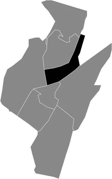
Black flat blank highlighted location map of the OOST DISTRICT inside gray administrative map of Haarlem, Netherlands — Vector

Black flat blank highlighted location map of the OOST DISTRICT inside gray administrative map of Haarlem, Netherlands

 — Vector by momcilo.jovanov

Same Series:

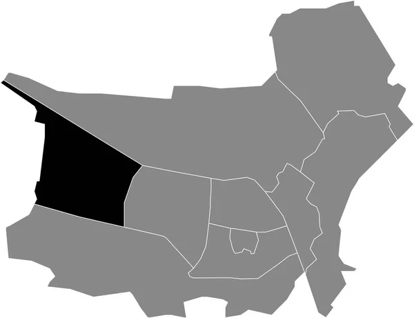
Black flat blank highlighted location map of the HUISWAARD-ZUID DISTRICT inside gray administrative map of Alkmaar, Netherlands
Black Flat Blank Highlighted Location Map Huiswaard Zuid District Gray — Stock Vector
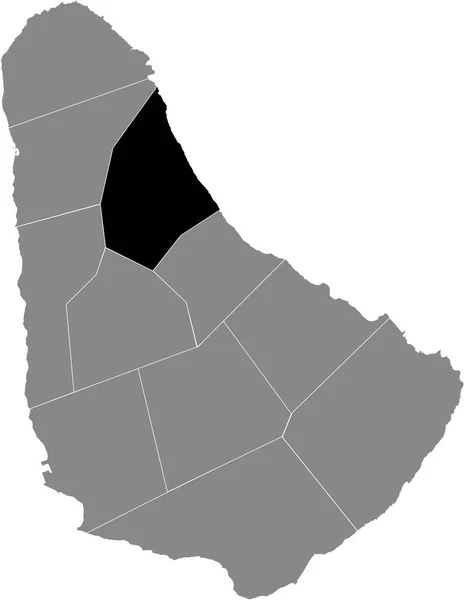
Black location map of Saint Peter parish inside gray map of Barbados
Black Location Map Saint Peter Parish Gray Map Barbados — Stock Vector
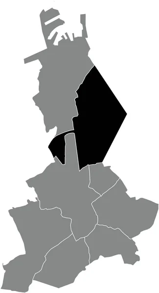
Black flat blank highlighted location map of the LISSEWEGE SUBURB inside gray administrative map of BRUGES, Belgium
Black Flat Blank Highlighted Location Map Lissewege Suburb Gray Administrative — Stock Vector
Black location map of the Sder (South) district inside gray urban districts map of the Swedish regional capital city of Malm, Sweden
Black Location Map Sder South District Gray Urban Districts Map — Stock Vector
Grey flat vector administrative map of BORDEAUX, FRANCE with black border lines of its cantons
Grey Flat Vector Administrative Map Bordeaux France Black Border Lines — Stock Vector
Black flat blank highlighted location map of the RUMPENHEIM DISTRICT inside gray administrative map of Offenbach am Main, Germany
Black Flat Blank Highlighted Location Map Rumpenheim District Gray Administrative — Stock Vector
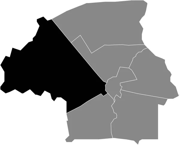
Black flat blank highlighted location map of the NOORD DISTRICT inside gray administrative map of Tilburg, Netherlands
Black Flat Blank Highlighted Location Map Noord District Gray Administrative — Stock Vector
Black flat blank highlighted location map of the REESHOF DISTRICT inside gray administrative map of Tilburg, Netherlands
Black Flat Blank Highlighted Location Map Reeshof District Gray Administrative — Stock Vector
Black flat blank highlighted location map of the DUDZELE SUBURB inside gray administrative map of BRUGES, Belgium
Black Flat Blank Highlighted Location Map Dudzele Suburb Gray Administrative — Stock Vector
Black flat blank highlighted location map of the BORDEAUX-2 CANTON inside gray administrative map of BORDEAUX, France
Black Flat Blank Highlighted Location Map Bordeaux Canton Gray Administrative — Stock Vector
Black flat blank highlighted location map of the WELHEIM DISTRICT inside gray administrative map of Bottrop, Germany
Black Flat Blank Highlighted Location Map Welheim District Gray Administrative — Stock Vector
Black flat blank highlighted location map of the BUITENGEBIED DISTRICT inside gray administrative map of Zoetermeer, Netherlands
Black Flat Blank Highlighted Location Map Buitengebied District Gray Administrative — Stock Vector
Black flat blank highlighted location map of the STRIJP DISTRICT inside gray administrative map of Eindhoven, Netherlands
Black Flat Blank Highlighted Location Map Strijp District Gray Administrative — Stock Vector
Black flat blank highlighted location map of the GRAFENWALD DISTRICT inside gray administrative map of Bottrop, Germany
Black Flat Blank Highlighted Location Map Grafenwald District Gray Administrative — Stock Vector
Black location map of Saint Andrew parish inside gray map of Barbados
Black Location Map Saint Andrew Parish Gray Map Barbados — Stock Vector
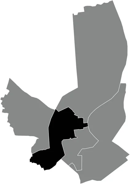
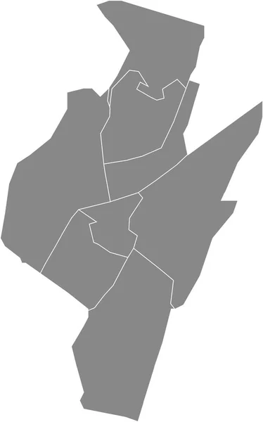
Gray flat blank vector administrative map of ALKMAAR, NETHERLANDS with black border lines of its districts
Gray Flat Blank Vector Administrative Map Alkmaar Netherlands Black Border — Stock Vector

Similar Stock Videos:

Borders drawing outline map of Germany, geographic borders of the country deutschland, deutsch land. High quality 4k footage
Borders drawing outline map of Germany, geographic borders of the country deutschland, deutsch land — Stock Video
Self-drawing of the state borders of Ukraine on a white background. Animation of the map of the Ukrainian state. Symbol of freedom and independence. 4k with alpha channel.
Self Drawing State Borders Ukraine White Background Animation Map Ukrainian — Stock Video
Map of Kazakhstan, Kazakhstan outline, Animated close up map Kazakhstan. Motion graphic design
Map of Kazakhstan, Kazakhstan outline, Animated close up map Kazakhstan — Stock Video
Poland animated Map with national borders, most important cities and rivers. Motion design 4K
Poland animated Map with national borders, most important cities and rivers. Motion design — Stock Video
Contour map of Ukraine with flag
Contour Map Ukraine Flag — Stock Video
Australia Outline Country Border on white background. Appearance national flag of Australia. National flag shaped map Commonwealth of Australia. Footage. MP4. 4k Resolution.
Australia Outline Country Border White Background Appearance National Flag Australia — Stock Video
Black line Map of France icon isolated on white background. 4K Video motion graphic animation.
Black line Map of France icon isolated on white background. 4K Video motion graphic animation — Stock Video
Zala Hungary map outline animation
Zala Hungary Map Outline Animation — Stock Video
3d animation of USA map, loop with alpha matte for compositing
3d animation of USA map, loop with alpha matte for compositing — Stock Video
France Map Outline Country Border on white background. Appearance national flag of France. National flag shaped map French Republic. Footage. MP4. Six seconds.
France Map Outline Country Border White Background Appearance National Flag — Stock Video
France Map Showing Up Intro With New Regions. 4k animated France map intro background with new administrative regions appearing
France Map Showing Up Intro With New Regions. 4k animated France map intro background — Stock Video
Drawing outline borders Peoples Republic China silhouette, borders contour maps PRC. High quality 4k footage
Drawing outline borders Peoples Republic China silhouette, borders contour maps PRC — Stock Video
Brexit - geopolitical animated map showing the United Kingdom leaving the European Union after the 2016's referendum.
Brexit - geopolitical animated map showing the United Kingdom leaving the European Union after the 2016's referendum. — Stock Video
Belgium animated map with alpha channel. Motion design 4k
Belgium animated map with alpha channel. — Stock Video
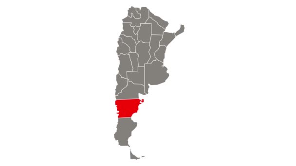
Chubut blinking red highlighted in map of Argentina
Chubut Blinking Red Highlighted Map Argentina — Stock Video
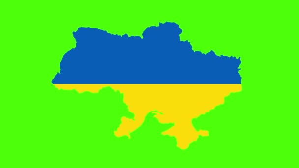
Map of Ukraine in the colors of the Ukrainian flag on a green background. changes to the red and black flag of Ukraine. the beginning of the war with Russia. Russias invasion of Ukraine. Footage for
Map of Ukraine in the colors of the Ukrainian flag on a green background. changes to the red and black flag of Ukraine. the beginning of the war with Russia. Russias invasion of Ukraine. — Stock Video
Map of United States of America showing different states. Animated usa contiguous lower 48 u.s. state map on an isolated chroma key background. 4K animation
Map of United States of America showing different states. Animated usa contiguous lower 48 u.s. state map on an isolated chroma key background. — Stock Video
3d animation of Europe map formed by individual countries
3d animation of Europe map formed by individual countries — Stock Video

Usage Information

You can use this royalty-free vector image "Black flat blank highlighted location map of the OOST DISTRICT inside gray administrative map of Haarlem, Netherlands" for personal and commercial purposes according to the Standard or Extended License. The Standard License covers most use cases, including advertising, UI designs, and product packaging, and allows up to 500,000 print copies. The Extended License permits all use cases under the Standard License with unlimited print rights and allows you to use the downloaded vector files for merchandise, product resale, or free distribution.

This stock vector image is scalable to any size. You can buy and download it in high resolution up to 3793x6417. Upload Date: Feb 11, 2022