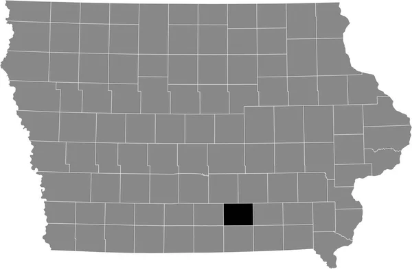
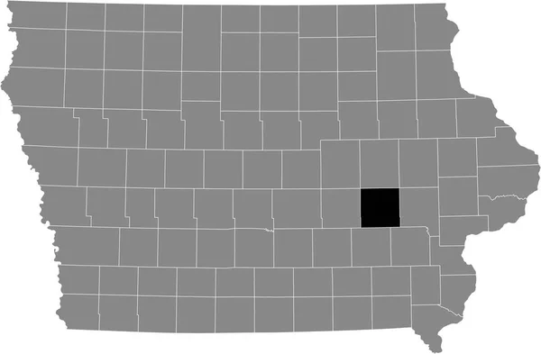
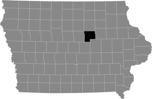
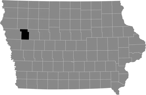
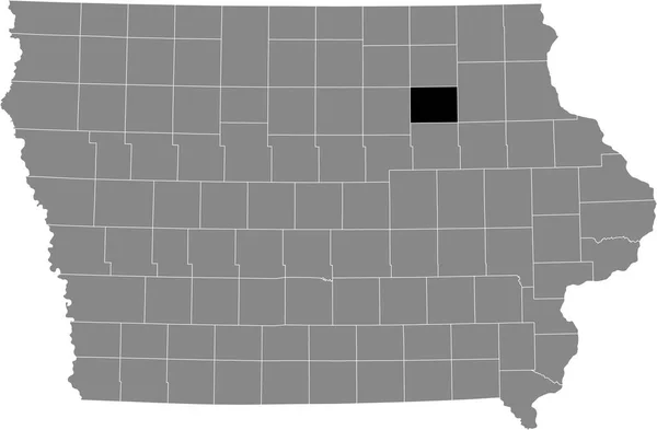
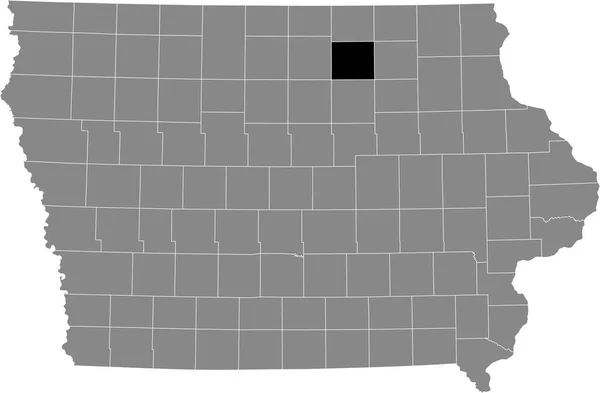
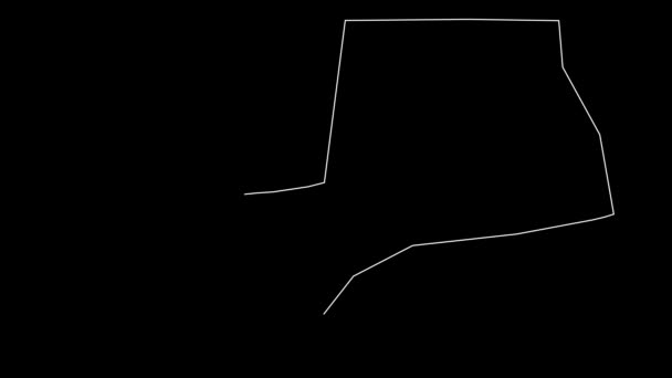
Black Highlighted Location Map Hamilton County Gray Map Federal State — Stock Vector

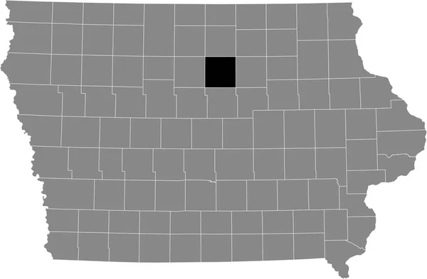
Black highlighted location map of the Hamilton County inside gray map of the Federal State of Iowa, USA — Vector

Black highlighted location map of the Hamilton County inside gray map of the Federal State of Iowa, USA

 — Vector by momcilo.jovanov

Same Series:

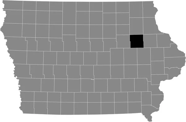
Black highlighted location map of the Buchanan County inside gray map of the Federal State of Iowa, USA
Black Highlighted Location Map Buchanan County Gray Map Federal State — Stock Vector
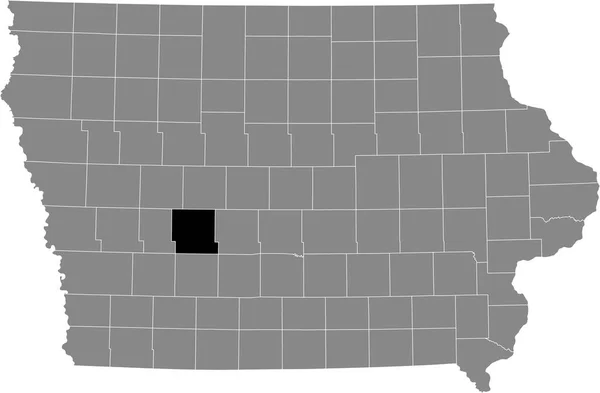
Black highlighted location map of the Guthrie County inside gray map of the Federal State of Iowa, USA
Black Highlighted Location Map Guthrie County Gray Map Federal State — Stock Vector
Black highlighted location map of the Franklin County inside gray map of the Federal State of Iowa, USA
Black Highlighted Location Map Franklin County Gray Map Federal State — Stock Vector
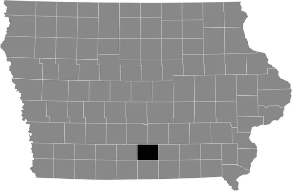
Black highlighted location map of the Lucas County inside gray map of the Federal State of Iowa, USA
Black Highlighted Location Map Lucas County Gray Map Federal State — Stock Vector
Black highlighted location map of the Monroe County inside gray map of the Federal State of Iowa, USA
Black Highlighted Location Map Monroe County Gray Map Federal State — Stock Vector
Black highlighted location map of the Iowa County inside gray map of the Federal State of Iowa, USA
Black Highlighted Location Map Iowa County Gray Map Federal State — Stock Vector
Black highlighted location map of the Grundy County inside gray map of the Federal State of Iowa, USA
Black Highlighted Location Map Grundy County Gray Map Federal State — Stock Vector
Black highlighted location map of the Buena Vista County inside gray map of the Federal State of Iowa, USA
Black Highlighted Location Map Buena Vista County Gray Map Federal — Stock Vector
Black highlighted location map of the Adair County inside gray map of the Federal State of Iowa, USA
Black Highlighted Location Map Adair County Gray Map Federal State — Stock Vector
Black highlighted location map of the Jasper County inside gray map of the Federal State of Iowa, USA
Black Highlighted Location Map Jasper County Gray Map Federal State — Stock Vector
Black highlighted location map of the Winnebago County inside gray map of the Federal State of Iowa, USA
Black Highlighted Location Map Winnebago County Gray Map Federal State — Stock Vector
Black highlighted location map of the Ida County inside gray map of the Federal State of Iowa, USA
Black Highlighted Location Map Ida County Gray Map Federal State — Stock Vector
Black highlighted location map of the Bremer County inside gray map of the Federal State of Iowa, USA
Black Highlighted Location Map Bremer County Gray Map Federal State — Stock Vector
Black highlighted location map of the Mahaska County inside gray map of the Federal State of Iowa, USA
Black Highlighted Location Map Mahaska County Gray Map Federal State — Stock Vector
Black highlighted location map of the Floyd County inside gray map of the Federal State of Iowa, USA
Black Highlighted Location Map Floyd County Gray Map Federal State — Stock Vector
Black highlighted location map of the Crawford County inside gray map of the Federal State of Iowa, USA
Black Highlighted Location Map Crawford County Gray Map Federal State — Stock Vector

Usage Information

You can use this royalty-free vector image "Black highlighted location map of the Hamilton County inside gray map of the Federal State of Iowa, USA" for personal and commercial purposes according to the Standard or Extended License. The Standard License covers most use cases, including advertising, UI designs, and product packaging, and allows up to 500,000 print copies. The Extended License permits all use cases under the Standard License with unlimited print rights and allows you to use the downloaded vector files for merchandise, product resale, or free distribution.

This stock vector image is scalable to any size. You can buy and download it in high resolution up to 6005x3935. Upload Date: Jul 25, 2021