Black Highlighted Location Map Harford County Gray Map Federal State — Stock Vector

Black highlighted location map of the Harford County inside gray map of the Federal State of Maryland, USA — Vector

Black highlighted location map of the Harford County inside gray map of the Federal State of Maryland, USA

 — Vector by momcilo.jovanov

Same Series:

Gray vector map of the Federal State of Massachusetts, USA with white borders of its counties
Gray Vector Map Federal State Massachusetts Usa White Borders Its — Stock Vector
Gray vector map of the Federal State of Connecticut, USA with white borders of its counties
Gray Vector Map Federal State Connecticut Usa White Borders Its — Stock Vector
White vector map of the Federal State of Maryland, USA with black borders and names of its counties
White Vector Map Federal State Maryland Usa Black Borders Names — Stock Vector
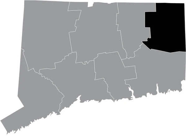
Black highlighted location map of the US Windham county inside gray map of the Federal State of Connecticut, USA
Black Highlighted Location Map Windham County Gray Map Federal State — Stock Vector
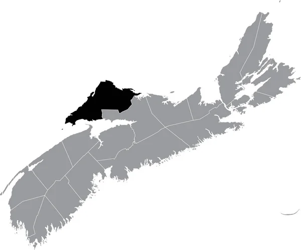
Black flat blank highlighted location map of the HANTS COUNTY inside gray administrative map of counties of Canadian province of Nova Scotia, Canada
Black Flat Blank Highlighted Location Map Hants County Gray Administrative — Stock Vector
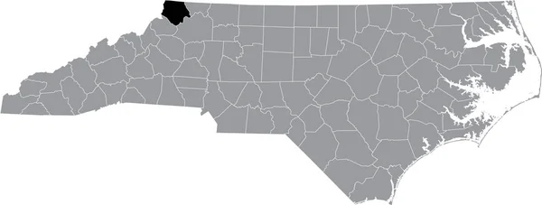
Black highlighted location map of the Ashe County inside gray administrative map of the Federal State of North Carolina, USA
Black Highlighted Location Map Ashe County Gray Administrative Map Federal — Stock Vector
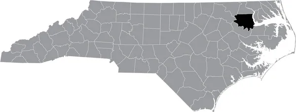
Black highlighted location map of the Bertie County inside gray administrative map of the Federal State of North Carolina, USA
Black Highlighted Location Map Bertie County Gray Administrative Map Federal — Stock Vector
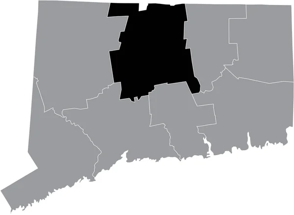
Black highlighted location map of the US Hartford county inside gray map of the Federal State of Connecticut, USA
Black Highlighted Location Map Hartford County Gray Map Federal State — Stock Vector
Black highlighted location map of the Dukes County inside gray map of the Federal State of Massachusetts, USA
Black Highlighted Location Map Dukes County Gray Map Federal State — Stock Vector
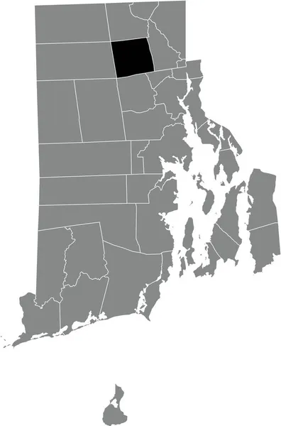
Black highlighted location map of the Smithfield inside gray administrative map of the Federal State of Rhode Island, USA
Black Highlighted Location Map Smithfield Gray Administrative Map Federal State — Stock Vector
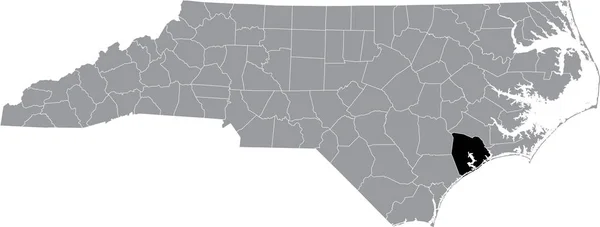
Black highlighted location map of the Onslow County inside gray administrative map of the Federal State of North Carolina, USA
Black Highlighted Location Map Onslow County Gray Administrative Map Federal — Stock Vector
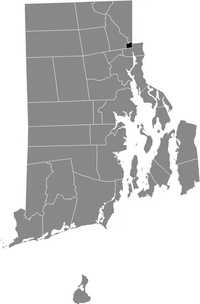
Black highlighted location map of the Central Falls inside gray administrative map of the Federal State of Rhode Island, USA
Black Highlighted Location Map Central Falls Gray Administrative Map Federal — Stock Vector
Black highlighted location map of the US Middlesex county inside gray map of the Federal State of Connecticut, USA
Black Highlighted Location Map Middlesex County Gray Map Federal State — Stock Vector
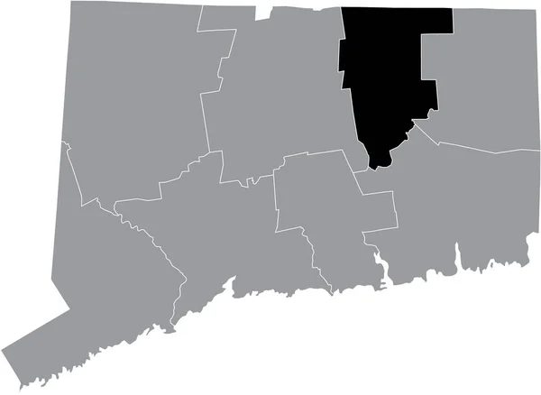
Black highlighted location map of the US Tolland county inside gray map of the Federal State of Connecticut, USA
Black Highlighted Location Map Tolland County Gray Map Federal State — Stock Vector
Black highlighted location map of the Buckingham County inside gray administrative map of the Federal State of Virginia, USA
Black Highlighted Location Map Buckingham County Gray Administrative Map Federal — Stock Vector
Black flat blank highlighted location map of the CUMBERLAND COUNTY inside gray administrative map of counties of Canadian province of Nova Scotia, Canada
Black Flat Blank Highlighted Location Map Cumberland County Gray Administrative — Stock Vector

Similar Stock Videos:
India map highlighted in India flag colors and pin of country capital New Delhi, map with neighboring Asian countries.
India Map Highlighted India Flag Colors Pin Country Capital New — Stock Video
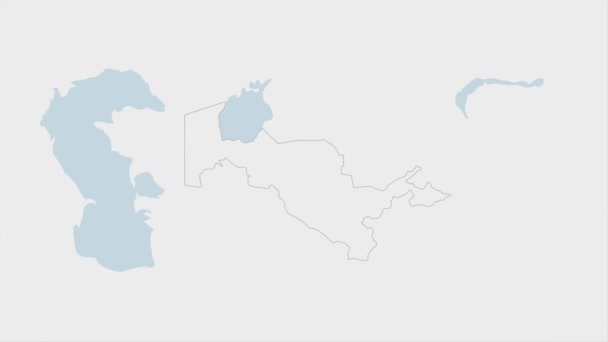
Uzbekistan map highlighted in Uzbekistan flag colors and pin of country capital Tashkent, map with neighboring Asian countries.
Uzbekistan Map Highlighted Uzbekistan Flag Colors Pin Country Capital Tashkent — Stock Video
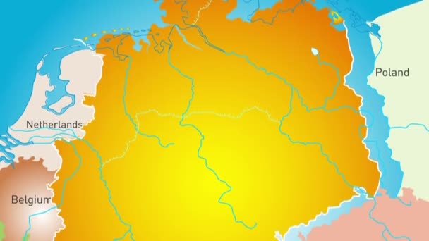
Animated detailed map of Germany country
Animated detailed map of Germany — Stock Video
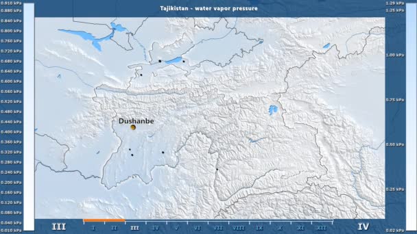
Water vapor pressure by month in the Tajikistan area with animated legend - English labels: country and capital names, map description. Stereographic projection
Water Vapor Pressure Month Tajikistan Area Animated Legend English Labels — Stock Video
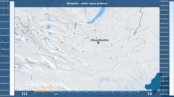
Water vapor pressure by month in the Mongolia area with animated legend - English labels: country and capital names, map description. Stereographic projection
Water Vapor Pressure Month Mongolia Area Animated Legend English Labels — Stock Video
Congo map highlighted in Congo flag colors and pin of country capital Kinshasa, map with neighboring African countries.
Congo Map Highlighted Congo Flag Colors Pin Country Capital Kinshasa — Stock Video
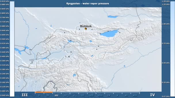
Water vapor pressure by month in the Kyrgyzstan area with animated legend - English labels: country and capital names, map description. Stereographic projection
Water Vapor Pressure Month Kyrgyzstan Area Animated Legend English Labels — Stock Video
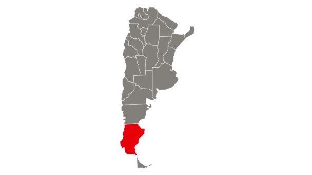
Neuquen blinking red highlighted in map of Argentina
Neuquen Blinking Red Highlighted Map Argentina — Stock Video
James Cook. great geographical discoveries. trip around the world
The great world tour - James Cook. — Stock Video
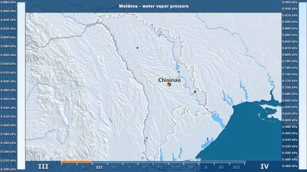
Water vapor pressure by month in the Moldova area with animated legend - English labels: country and capital names, map description. Stereographic projection
Water Vapor Pressure Month Moldova Area Animated Legend English Labels — Stock Video
Santa Cruz blinking red highlighted in map of Argentina
Santa Cruz Blinking Red Highlighted Map Argentina — Stock Video
Burundi map highlighted in Burundi flag colors and pin of country capital Gitega, map with neighboring African countries.
Burundi Map Highlighted Burundi Flag Colors Pin Country Capital Gitega — Stock Video
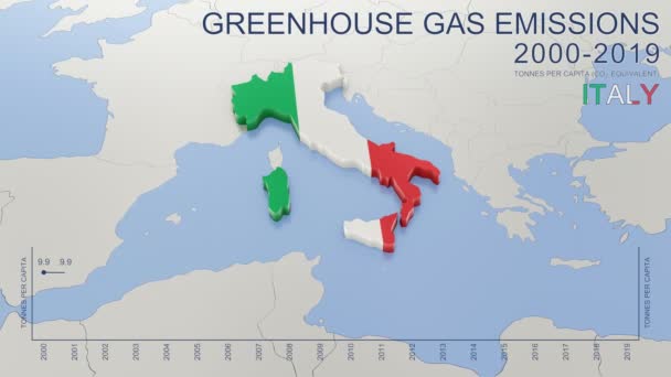
Greenhouse gas emissions in Italy from 2000 to 2019. Values in tonnes per capita (CO2 equivalent). Source data: Eurostat. 3D rendering loop able video with 4K resolution.
Greenhouse Gas Emissions Italy 2000 2019 Values Tonnes Capita Co2 — Stock Video
Saudi Arabia map highlighted in Saudi Arabia flag colors and pin of country capital Riyadh, map with neighboring Asian countries.
Saudi Arabia Map Highlighted Saudi Arabia Flag Colors Pin Country — Stock Video
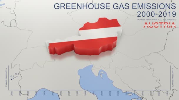
Greenhouse gas emissions in Austria from 2000 to 2019. Values in tonnes per capita (CO2 equivalent). Source data: Eurostat. 3D rendering loop able video with 4K resolution.
Greenhouse Gas Emissions Austria 2000 2019 Values Tonnes Capita Co2 — Stock Video
Santiago del Estero blinking red highlighted in map of Argentina
Santiago Del Estero Blinking Red Highlighted Map Argentina — Stock Video
Oman map highlighted in Oman flag colors and pin of country capital Muscat, map with neighboring Asian countries.
Oman Map Highlighted Oman Flag Colors Pin Country Capital Muscat — Stock Video
Brexit - simple animated map showing the United Kingdom changing its status after leaving the European Union - 2016's referendum - blue flat design
Brexit - simple animated map showing the United Kingdom changing its status after leaving the European Union - 2016's referendum - blue flat design — Stock Video

Usage Information

You can use this royalty-free vector image "Black highlighted location map of the Harford County inside gray map of the Federal State of Maryland, USA" for personal and commercial purposes according to the Standard or Extended License. The Standard License covers most use cases, including advertising, UI designs, and product packaging, and allows up to 500,000 print copies. The Extended License permits all use cases under the Standard License with unlimited print rights and allows you to use the downloaded vector files for merchandise, product resale, or free distribution.

This stock vector image is scalable to any size. You can buy and download it in high resolution up to 6903x3614. Upload Date: Aug 29, 2021