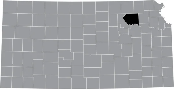
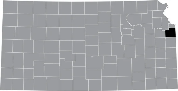
Black Highlighted Location Map Jefferson County Gray Map Federal State — Stock Vector

Black highlighted location map of the Jefferson County inside gray map of the Federal State of Kansas, USA — Vector

Black highlighted location map of the Jefferson County inside gray map of the Federal State of Kansas, USA

 — Vector by momcilo.jovanov

Same Series:

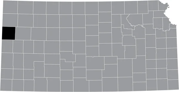
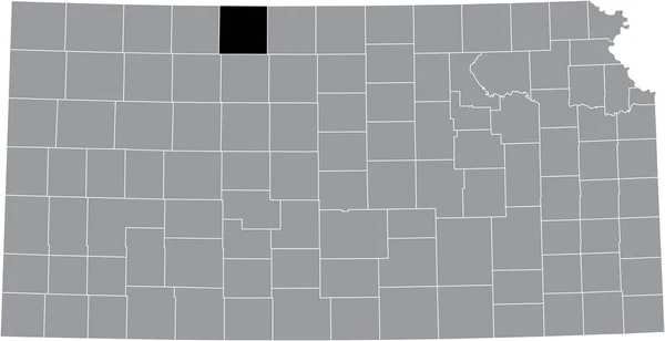
Black highlighted location map of the Wallace County inside gray map of the Federal State of Kansas, USA
Black Highlighted Location Map Wallace County Gray Map Federal State — Stock Vector
Black highlighted location map of the Shawnee County inside gray map of the Federal State of Kansas, USA
Black Highlighted Location Map Shawnee County Gray Map Federal State — Stock Vector
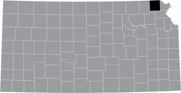
Black highlighted location map of the Washington County inside gray map of the Federal State of Kansas, USA
Black Highlighted Location Map Washington County Gray Map Federal State — Stock Vector
Black highlighted location map of the Pottawatomie County inside gray map of the Federal State of Kansas, USA
Black Highlighted Location Map Pottawatomie County Gray Map Federal State — Stock Vector
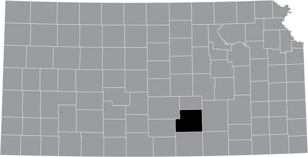
Black highlighted location map of the Sedgwick County inside gray map of the Federal State of Kansas, USA
Black Highlighted Location Map Sedgwick County Gray Map Federal State — Stock Vector
Black highlighted location map of the Brown County inside gray map of the Federal State of Kansas, USA
Black Highlighted Location Map Brown County Gray Map Federal State — Stock Vector
Black highlighted location map of the Chautauqua County inside gray map of the Federal State of Kansas, USA
Black Highlighted Location Map Chautauqua County Gray Map Federal State — Stock Vector
Black highlighted location map of the Phillips County inside gray map of the Federal State of Kansas, USA
Black Highlighted Location Map Phillips County Gray Map Federal State — Stock Vector
Black highlighted location map of the Johnson County inside gray map of the Federal State of Kansas, USA
Black Highlighted Location Map Johnson County Gray Map Federal State — Stock Vector
Black highlighted location map of the Jewell County inside gray map of the Federal State of Kansas, USA
Black Highlighted Location Map Jewell County Gray Map Federal State — Stock Vector
Black highlighted location map of the Kearny County inside gray map of the Federal State of Kansas, USA
Black Highlighted Location Map Kearny County Gray Map Federal State — Stock Vector
Black highlighted location map of the Clark County inside gray map of the Federal State of Kansas, USA
Black Highlighted Location Map Clark County Gray Map Federal State — Stock Vector
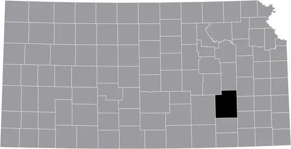
Black highlighted location map of the Greenwood County inside gray map of the Federal State of Kansas, USA
Black Highlighted Location Map Greenwood County Gray Map Federal State — Stock Vector
Black highlighted location map of the Sumner County inside gray map of the Federal State of Kansas, USA
Black Highlighted Location Map Sumner County Gray Map Federal State — Stock Vector
Black highlighted location map of the Decatur County inside gray map of the Federal State of Kansas, USA
Black Highlighted Location Map Decatur County Gray Map Federal State — Stock Vector
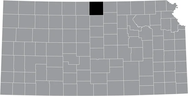
Black highlighted location map of the Smith County inside gray map of the Federal State of Kansas, USA
Black Highlighted Location Map Smith County Gray Map Federal State — Stock Vector

Similar Stock Videos:
Nebraska USA federal state map outline animation. Motion graphics
Nebraska USA federal state map outline animation. Motion graphics. — Stock Video
Missouri county map outline animation. Motion graphics
Missouri county map outline animation. Motion graphics. — Stock Video
Utah county map outline animation. Motion graphics
Utah county map outline animation. Motion graphics. — Stock Video
Map of United States of America showing different states. USA map 4k
Map of United States of America showing different states. USA map — Stock Video
Line animated map showing the state of North Dacota from the united state of america. 2d map of North Dacota. 4k
Line animated map showing the state of North Dacota from the united state of america. 2d map of North Dacota. — Stock Video
Line animated map showing the state of Montana from the united state of American. 2d map of Montana. 4k Motion graphics.
Line animated map showing the state of Montana from the united state of American. 2d map of Montana. — Stock Video
Montana city map outline animation. Motion graphics
Montana city map outline animation. Motion graphics. — Stock Video
Line animated map showing the state of Georgia from the united state of america. 2d map of Georgia. 4k
Line animated map showing the state of Georgia from the united state of america. 2d map of Georgia. — Stock Video
Map of United States of America showing different states. Animated usa contiguous lower 48 u.s. state map on an isolated chroma key background. 4K animation
Map of United States of America showing different states. Animated usa contiguous lower 48 u.s. state map on an isolated chroma key background. — Stock Video
Animated USA map with states
Animated Usa Map States — Stock Video
Abstract line animation Montana State of USA on hexagon style. Montana state. United States of America. Outline map of Montana federal state highlighted from map of USA.
Abstract line animation Montana State of USA on hexagon style. Montana state. United States of America. Outline map of Montana federal state highlighted from map of USA — Stock Video
Watercolor animated map showing the state of Florida from the united state of American. 2d map of Florida. 4k Motion graphics.
Watercolor animated map showing the state of Florida from the united state of American. 2d map of Florida. — Stock Video
Abstract line animation Louisiana State of USA on hexagon style. Louisiana state. United States of America. Outline map of Louisiana federal state highlighted from map of USA.
Abstract line animation Louisiana State of USA on hexagon style. Louisiana state. United States of America. Outline map of Louisiana federal state highlighted from map of USA — Stock Video
Missouri State of the United States of America. Animated 3d gold location marker on the map. Easy to use with screen transparency mode on your video. 4k
Missouri State of the United States of America. Animated 3d gold location marker on the map. Easy to use with screen transparency mode on your video. — Stock Video
Brush animated map showing the state of South dakota from the united state of america. 2d map of South dakota. 4k
Brush animated map showing the state of South dakota from the united state of america. 2d map of South dakota. — Stock Video
Brush animated map showing the state of California from the united state of america. 2d map of California. 4k
Brush animated map showing the state of California from the united state of america. 2d map of California. — Stock Video
Neon Map of Vermont State United States of America, Alabama outline. Blue glowing outline. Motion graphics
Neon Map of Vermont State United States of America, Alabama outline. Blue glowing outline. Motion graphics. — Stock Video
Line animated map showing the state of Oklahoma from the united state of American. 2d map of Oklahoma. 4k Motion graphics.
Line animated map showing the state of Oklahoma from the united state of American. 2d map of Oklahoma. — Stock Video

Usage Information

You can use this royalty-free vector image "Black highlighted location map of the Jefferson County inside gray map of the Federal State of Kansas, USA" for personal and commercial purposes according to the Standard or Extended License. The Standard License covers most use cases, including advertising, UI designs, and product packaging, and allows up to 500,000 print copies. The Extended License permits all use cases under the Standard License with unlimited print rights and allows you to use the downloaded vector files for merchandise, product resale, or free distribution.

This stock vector image is scalable to any size. You can buy and download it in high resolution up to 6907x3545. Upload Date: Aug 10, 2021