Blue Smooth Topographic Relief Peaks Valleys Map Federal State Delaware — Stock Vector

Blue Smooth Topographic Relief Peaks and Valleys Map of US Federal State of Delaware — Vector

Blue Smooth Topographic Relief Peaks and Valleys Map of US Federal State of Delaware

 — Vector by momcilo.jovanov

Same Series:

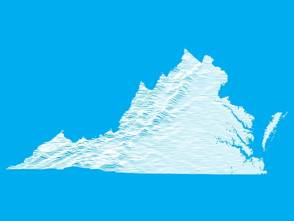
Blue Smooth Topographic Relief Peaks and Valleys Map of US Federal State of Virginia
Blue Smooth Topographic Relief Peaks Valleys Map Federal State Virginia — Stock Vector
Blue Smooth Topographic Relief Peaks and Valleys Map of US Federal State of Rhode Island
Blue Smooth Topographic Relief Peaks Valleys Map Federal State Rhode — Stock Vector
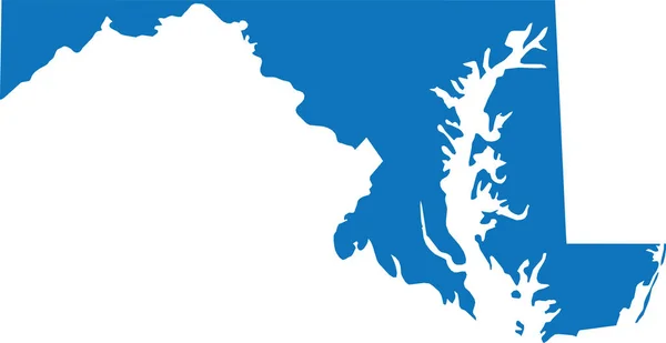
BLUE CMYK color detailed flat map of the federal state of MARYLAND, UNITED STATES OF AMERICA on transparent background
Blue Cmyk Color Detailed Flat Map Federal State Maryland United — Stock Vector
Black highlighted location map of the Pittsylvania inside gray administrative map of the Federal State of Virginia, USA
Black Highlighted Location Map Pittsylvania Gray Administrative Map Federal State — Stock Vector
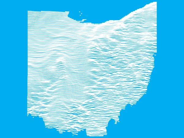
Blue Smooth Topographic Relief Peaks and Valleys Map of US Federal State of Ohio
Blue Smooth Topographic Relief Peaks Valleys Map Federal State Ohio — Stock Vector
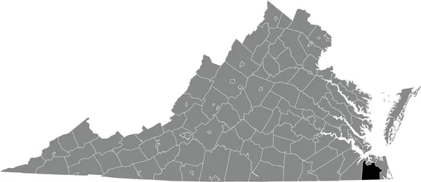
Black highlighted location map of the Chesapeake independent city inside gray administrative map of the Federal State of Virginia, USA
Black Highlighted Location Map Chesapeake Independent City Gray Administrative Map — Stock Vector
YELLOW CMYK color detailed flat map of the federal state of VIRGINIA, UNITED STATES OF AMERICA on transparent background
Yellow Cmyk Color Detailed Flat Map Federal State Virginia United — Stock Vector
Black highlighted location map of the Halifax County inside gray administrative map of the Federal State of Virginia, USA
Black Highlighted Location Map Halifax County Gray Administrative Map Federal — Stock Vector
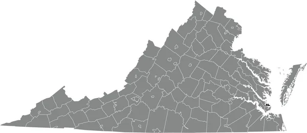
Gray vector administrative map of the Federal State of Virginia, USA with white borders of its counties
Gray Vector Administrative Map Federal State Virginia Usa White Borders — Stock Vector
Black highlighted location map of the Carroll County inside gray administrative map of the Federal State of Virginia, USA
Black Highlighted Location Map Carroll County Gray Administrative Map Federal — Stock Vector
Black highlighted location map of the Northumberland inside gray administrative map of the Federal State of Virginia, USA
Black Highlighted Location Map Northumberland Gray Administrative Map Federal State — Stock Vector
Black highlighted location map of the Mathews inside gray administrative map of the Federal State of Virginia, USA
Black Highlighted Location Map Mathews Gray Administrative Map Federal State — Stock Vector
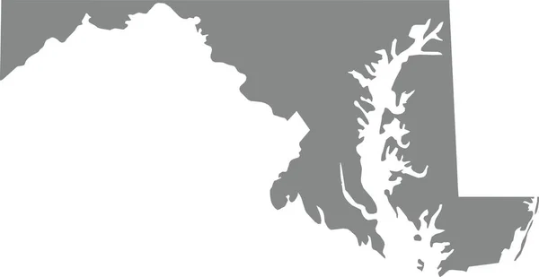
GRAY CMYK color detailed flat map of the federal state of MARYLAND, UNITED STATES OF AMERICA on transparent background
Gray Cmyk Color Detailed Flat Map Federal State Maryland United — Stock Vector
Simple black vector map of the Federal State of New Hampshire, USA
Simple Black Vector Map Federal State New Hampshire Usa — Stock Vector
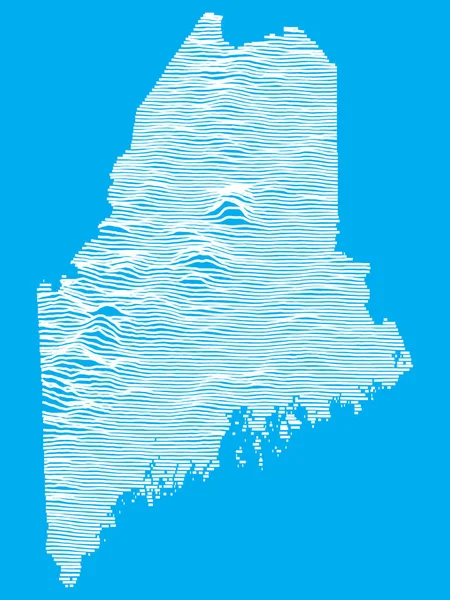
Blue Smooth Topographic Relief Peaks and Valleys Map of US Federal State of Maine
Blue Smooth Topographic Relief Peaks Valleys Map Federal State Maine — Stock Vector
Black highlighted location map of the Poquoson independent city inside gray administrative map of the Federal State of Virginia, USA
Black Highlighted Location Map Poquoson Independent City Gray Administrative Map — Stock Vector

Similar Stock Videos:

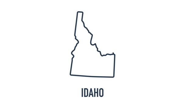
Line animated map showing the state of Idaho from the united state of america. Motion graphics
Line animated map showing the state of Idaho from the united state of america. Motion graphics. — Stock Video
Black line Map of mexican icon isolated on white background. 4K Video motion graphic animation.
Black line Map of mexican icon isolated on white background. 4K Video motion graphic animation — Stock Video
Line animated map showing the state of Mississippi from the united state of america. Motion graphics
Line animated map showing the state of Mississippi from the united state of america. Motion graphics. — Stock Video
Neon animated map showing the state of Oregon from the united state of America. Motion graphics
Neon animated map showing the state of Oregon from the united state of America. Motion graphics. — Stock Video
Line animated map showing the state of California from the united state of america. Motion graphics
Line animated map showing the state of California from the united state of america. Motion graphics. — Stock Video
Line animated map showing the state of Missouri from the united state of america. Motion graphics
Line animated map showing the state of Missouri from the united state of america. Motion graphics. — Stock Video
Montana state map outline animation. Motion graphics
Montana state map outline animation. Motion graphics. — Stock Video
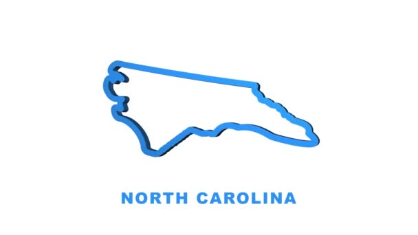
Line animated map showing the state of North Carolina from the united state of america. Motion graphics
Line animated map showing the state of North Carolina from the united state of america. Motion graphics. — Stock Video
Animated USA map with states
Animated Usa Map States — Stock Video
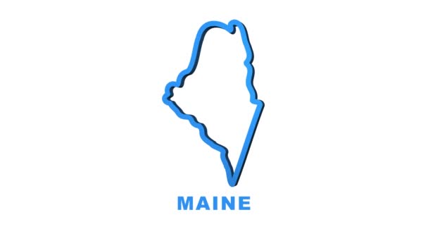
Neon Map of Maine State United States of America, Alabama outline. Blue glowing outline. Motion graphics
Neon Map of Maine State United States of America, Alabama outline. Blue glowing outline. Motion graphics. — Stock Video
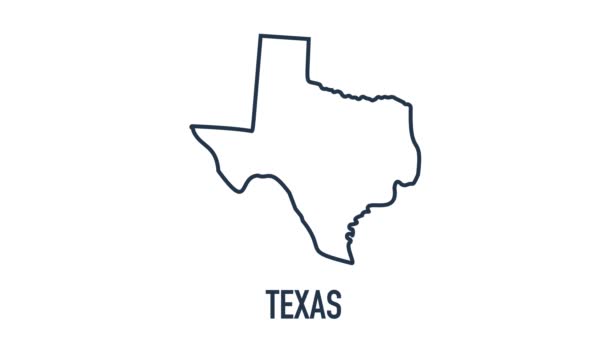
Line animated map showing the state of Texas from the united state of america. 2d map of Texas. 4k
Line animated map showing the state of Texas from the united state of america. 2d map of Texas. — Stock Video
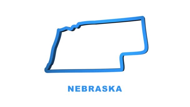
Nebraska USA federal state map outline animation. Motion graphics
Nebraska USA federal state map outline animation. Motion graphics. — Stock Video
Line animated map showing the state of Alabama from the united state of america. 2d map of Alabama.
Line animated map showing the state of Alabama from the united state of america. 2d map of Alabama — Stock Video
Line animated map showing the state of Idaho from the united state of america. 2d map of Idaho. 4k
Line animated map showing the state of Idaho from the united state of america. 2d map of Idaho. — Stock Video
United Kingdom Map Outline Country Border on white background. Appearance national flag of United Kingdom. National flag shaped map Great Britain. Footage. MP4. Six seconds.
United Kingdom Map Outline Country Border White Background Appearance National — Stock Video
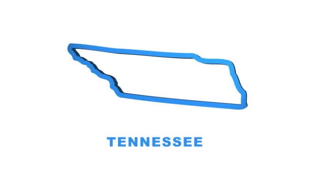
Line animated map showing the state of Tennessee from the united state of American. Motion graphics
Line animated map showing the state of Tennessee from the united state of American. Motion graphics. — Stock Video
Bosnia Herzegovina with flag on world map
Bosnia Herzegovina with flag on world map — Stock Video
Line animated map showing the state of Indiana from the united state of america. Motion graphics
Line animated map showing the state of Indiana from the united state of america. Motion graphics. — Stock Video

Usage Information

You can use this royalty-free vector image "Blue Smooth Topographic Relief Peaks and Valleys Map of US Federal State of Delaware" for personal and commercial purposes according to the Standard or Extended License. The Standard License covers most use cases, including advertising, UI designs, and product packaging, and allows up to 500,000 print copies. The Extended License permits all use cases under the Standard License with unlimited print rights and allows you to use the downloaded vector files for merchandise, product resale, or free distribution.

This stock vector image is scalable to any size. You can buy and download it in high resolution up to 3600x4800. Upload Date: Nov 5, 2020