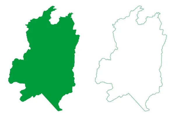
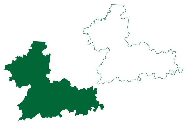
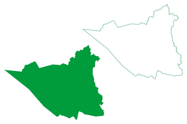
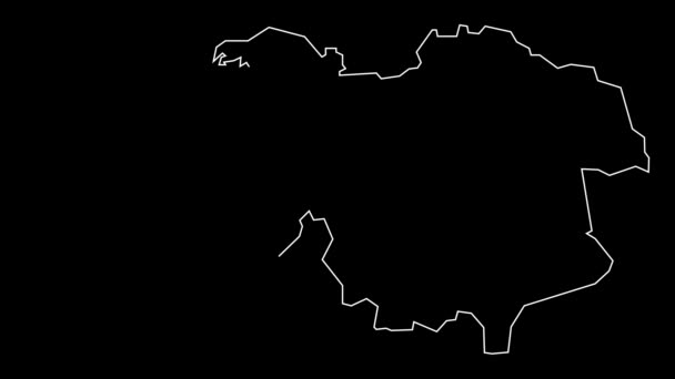
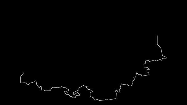
Brasileia Municipality Acre State Municipalities Brazil Federative Republic Brazil Map — Stock Vector

Brasileia municipality (Acre state, Municipalities of Brazil, Federative Republic of Brazil) map vector illustration, scribble sketch Brasileia map — Vector

Brasileia municipality (Acre state, Municipalities of Brazil, Federative Republic of Brazil) map vector illustration, scribble sketch Brasileia map

 — Vector by Danler

Same Series:

Itaguacu municipality (Espirito Santo state, Municipalities of Brazil, Federative Republic of Brazil) map vector illustration, scribble sketch Itaguau map
Itaguacu Municipality Espirito Santo State Municipalities Brazil Federative Republic Brazil — Stock Vector
Cordeiros municipality (Bahia state, Municipalities of Brazil, Federative Republic of Brazil) map vector illustration, scribble sketch Cordeiros map
Cordeiros Municipality Bahia State Municipalities Brazil Federative Republic Brazil Map — Stock Vector
Nonoava municipality (Free and Sovereign State of Chihuahua, Mexico, United Mexican States) map vector illustration, scribble sketch Nonoava map
Nonoava Municipality Free Sovereign State Chihuahua Mexico United Mexican States — Stock Vector
Varzea Alegre municipality (Ceara state, Municipalities of Brazil, Federative Republic of Brazil) map vector illustration, scribble sketch Varzea Alegre map
Varzea Alegre Municipality Ceara State Municipalities Brazil Federative Republic Brazil — Stock Vector
Nova Venecia municipality (Espirito Santo state, Municipalities of Brazil, Federative Republic of Brazil) map vector illustration, scribble sketch Nova Vencia map
Nova Venecia Municipality Espirito Santo State Municipalities Brazil Federative Republic — Stock Vector
Rewa district (Madhya Pradesh State, Rewa division, Republic of India) map vector illustration, scribble sketch map
Rewa District Madhya Pradesh State Rewa Division Republic India Map — Stock Vector
Hanumangarh district (Rajasthan State, Republic of India) map vector illustration, scribble sketch Hanumangarh map
Hanumangarh District Rajasthan State Republic India Map Vector Illustration Scribble — Stock Vector
Pilar municipality (Alagoas state, Municipalities of Brazil, Federative Republic of Brazil) map vector illustration, scribble sketch Pilar map
Pilar Municipality Alagoas State Municipalities Brazil Federative Republic Brazil Map — Stock Vector
Autazes municipality (Amazonas state, Municipalities of Brazil, Federative Republic of Brazil) map vector illustration, scribble sketch Autazes map
Autazes Municipality Amazonas State Municipalities Brazil Federative Republic Brazil Map — Stock Vector
Aldama municipality (Free and Sovereign State of Chihuahua, Mexico, United Mexican States) map vector illustration, scribble sketch Aldama map
Aldama Municipality Free Sovereign State Chihuahua Mexico United Mexican States — Stock Vector
Tiruvannamalai district (Tamil Nadu State, Republic of India) map vector illustration, scribble sketch Central Arcot, Tiruvannamalai Sambhuvarayar map
Tiruvannamalai District Tamil Nadu State Republic India Map Vector Illustration — Stock Vector
Jesus Maria municipality (Free and Sovereign State of Aguascalientes, Mexico, United Mexican States) map vector illustration, scribble sketch map
Jesus Maria Municipality Free Sovereign State Aguascalientes Mexico United Mexican — Stock Vector
Rosales municipality (Free and Sovereign State of Chihuahua, Mexico, United Mexican States) map vector illustration, scribble sketch Rosales map
Rosales Municipality Free Sovereign State Chihuahua Mexico United Mexican States — Stock Vector
Jimenez municipality (Free and Sovereign State of Chihuahua, Mexico, United Mexican States) map vector illustration, scribble sketch map
Jimenez Municipality Free Sovereign State Chihuahua Mexico United Mexican States — Stock Vector
Santa Brigida municipality (Bahia state, Municipalities of Brazil, Federative Republic of Brazil) map vector illustration, scribble sketch map
Santa Brigida Municipality Bahia State Municipalities Brazil Federative Republic Brazil — Stock Vector
Paraipaba municipality (Ceara state, Municipalities of Brazil, Federative Republic of Brazil) map vector illustration, scribble sketch Paraipaba map
Paraipaba Municipality Ceara State Municipalities Brazil Federative Republic Brazil Map — Stock Vector

Usage Information

You can use this royalty-free vector image "Brasileia municipality (Acre state, Municipalities of Brazil, Federative Republic of Brazil) map vector illustration, scribble sketch Brasileia map" for personal and commercial purposes according to the Standard or Extended License. The Standard License covers most use cases, including advertising, UI designs, and product packaging, and allows up to 500,000 print copies. The Extended License permits all use cases under the Standard License with unlimited print rights and allows you to use the downloaded vector files for merchandise, product resale, or free distribution.

This stock vector image is scalable to any size. You can buy and download it in high resolution up to 7087x4726. Upload Date: Sep 1, 2021