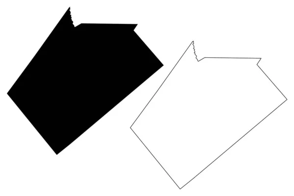
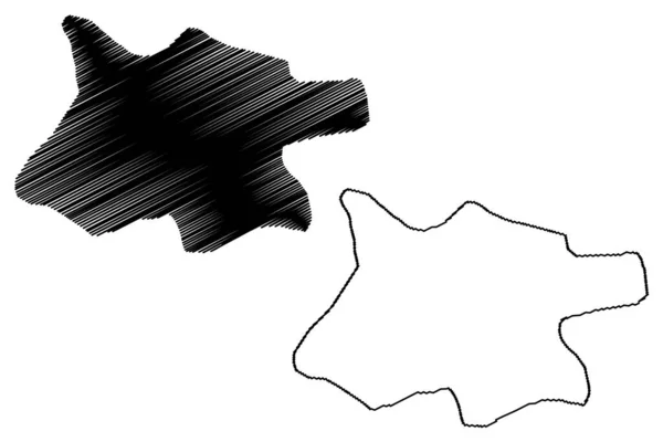
Comanche County, Texas (Counties in Texas, United States of America,USA, U.S., US) map vector illustration, scribble sketch Comanche map — Stock Vector

Comanche County, Texas (Counties in Texas, United States of America,USA, U.S., US) map vector illustration, scribble sketch Comanche map — Vector

Comanche County, Texas (Counties in Texas, United States of America,USA, U.S., US) map vector illustration, scribble sketch Comanche map

 — Vector by Danler

Same Series:

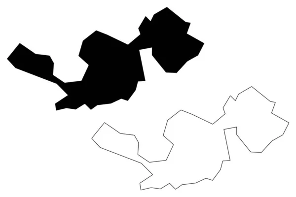
Cameron County, Commonwealth of Pennsylvania (U.S. county, United States of America, USA, U.S., US) map vector illustration, scribble sketch Cameron map
Cameron County Commonwealth Pennsylvania County United States America Usa Map — Stock Vector
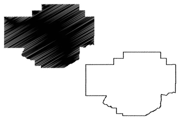
Wilson County, Texas (Counties in Texas, United States of America,USA, U.S., US) map vector illustration, scribble sketch Wilson map
Wilson County, Texas (Counties in Texas, United States of America,USA, U.S., US) map vector illustration, scribble sketch Wilson map — Stock Vector
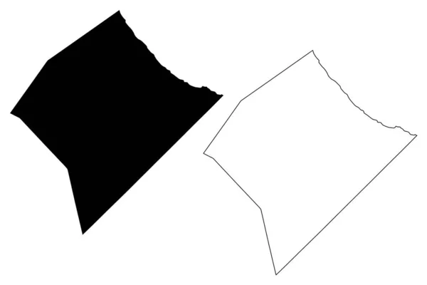
Togdheer region (Federal Republic of Somalia, Horn of Africa) map vector illustration, scribble sketch Togdheer map
Togdheer region (Federal Republic of Somalia, Horn of Africa) map vector illustration, scribble sketch Togdheer ma — Stock Vector
Lower Shabelle region (Federal Republic of Somalia, Horn of Africa) map vector illustration, scribble sketch Lower Shabelle map
Lower Shabelle region (Federal Republic of Somalia, Horn of Africa) map vector illustration, scribble sketch Lower Shabelle ma — Stock Vector
Kearney and Johnson County, Nebraska (U.S. county, United States of America, USA, U.S., US) map vector illustration, scribble sketch map
Kearney Johnson County Nebraska County United States America Usa Map — Stock Vector
Tiris Zemmour Region (Regions of Mauritania, Islamic Republic of Mauritania) map vector illustration, scribble sketch Tiris Zemmour map
Tiris Zemmour Region (Regions of Mauritania, Islamic Republic of Mauritania) map vector illustration, scribble sketch Tiris Zemmour map — Stock Vector
Georgetown City (Co-operative Republic of Guyana, Demerara-Mahaica Region) map vector illustration, scribble sketch City of Georgetown map
Georgetown City Operative Republic Guyana Demerara Mahaica Region Map Vector — Stock Vector
Crook County, Oregon State (U.S. county, United States of America, USA, U.S., US) map vector illustration, scribble sketch Crook map
Crook County Oregon State County United States America Usa Map — Stock Vector
Kano City (Federal Republic of Nigeria, Kano State) map vector illustration, scribble sketch City of Kano map
Kano City Federal Republic Nigeria Kano State Map Vector Illustration — Stock Vector
Abuja City (Federal Republic of Nigeria, Federal Capital Territory) map vector illustration, scribble sketch City of Abuja map
Abuja City Federal Republic Nigeria Federal Capital Territory Map Vector — Stock Vector
Lake County, Ohio State (U.S. county, United States of America, USA, U.S., US) map vector illustration, scribble sketch Lake map
Lake County Ohio State County United States America Usa Map — Stock Vector
Plasnica Municipality (Republic of North Macedonia, Southwestern Statistical Region) map vector illustration, scribble sketch Plasnica map
Plasnica Municipality (Republic of North Macedonia, Southwestern Statistical Region) map vector illustration, scribble sketch Plasnica map — Stock Vector
Balti Municipality (Republic of Moldova, Administrative divisions of Moldova) map vector illustration, scribble sketch Balti map
Balti Municipality (Republic of Moldova, Administrative divisions of Moldova) map vector illustration, scribble sketch Balti map — Stock Vector
Chouteau County, Montana (U.S. county, United States of America, USA, U.S., US) map vector illustration, scribble sketch Chouteau map
Chouteau County Montana County United States America Usa Map Vector — Stock Vector
St. Joseph (Barbados, Parishes of Barbados) map vector illustration, scribble sketch Parish of Saint Joseph map
Joseph Barbados Parishes Barbados Map Vector Illustration Scribble Sketch Parish — Stock Vector
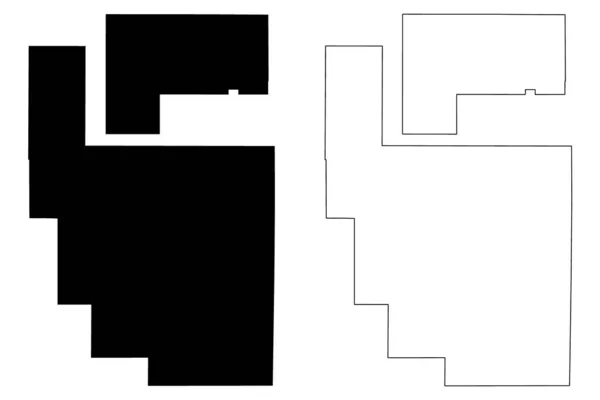
Roosevelt and McKinley County, New Mexico (U.S. county, United States of America, USA, U.S., US) map vector illustration, scribble sketch map
Roosevelt Mckinley County New Mexico County United States America Usa — Stock Vector

Similar Stock Videos:
Line animated map showing the state of North Dacota from the united state of america. 2d map of North Dacota. 4k
Line animated map showing the state of North Dacota from the united state of america. 2d map of North Dacota. — Stock Video
Line animated map showing the state of Indiana from the united state of america. 2d map of Indiana. 4k
Line animated map showing the state of Indiana from the united state of america. 2d map of Indiana. — Stock Video
Line animated map showing the state of Arizona from the united state of america. 2d map of Arizona. 4k
Line animated map showing the state of Arizona from the united state of america. 2d map of Arizona. — Stock Video
Drawing outline borders Peoples Republic China silhouette, borders contour maps PRC. High quality 4k footage
Drawing outline borders Peoples Republic China silhouette, borders contour maps PRC — Stock Video
Kansas State of the United States of America. Animated 3d gold location marker on the map. Easy to use with screen transparency mode on your video. 4k
Kansas State of the United States of America. Animated 3d gold location marker on the map. Easy to use with screen transparency mode on your video. — Stock Video
Line animated map showing the state of Oklahoma from the united state of American. 2d map of Oklahoma. 4k Motion graphics.
Line animated map showing the state of Oklahoma from the united state of American. 2d map of Oklahoma. — Stock Video
Black line Leather icon isolated on white background. 4K Video motion graphic animation
Black line Leather icon isolated on white background. 4K Video motion graphic animation — Stock Video
North Dakota USA federal state map outline animation
North Dakota Usa Federal State Map Outline Animation — Stock Video
Line animated map showing the state of Mississippi from the united state of america. 2d map of Mississippi. 4k
Line animated map showing the state of Mississippi from the united state of america. 2d map of Mississippi. — Stock Video
This video shows a house damaged by windstorm
Video Shows House Damaged Windstorm — Stock Video
Line animated map showing the state of Kansas from the united state of america. 2d map of Kansas. 4k
Line animated map showing the state of Kansas from the united state of america. 2d map of Kansas. — Stock Video
Line animated map showing the state of washington from the united state of america. 2d map of washington. 4k
Line animated map showing the state of washington from the united state of america. 2d map of washington. — Stock Video
Kansas State of the United States of America. Animated line location marker on the map. Easy to use with screen transparency mode on your video. 4k
Kansas State of the United States of America. Animated line location marker on the map. Easy to use with screen transparency mode on your video. — Stock Video
Arizona State of the United States of America. Animated 3d gold location marker on the map. Easy to use with screen transparency mode on your video. 4k
Arizona State of the United States of America. Animated 3d gold location marker on the map. Easy to use with screen transparency mode on your video. — Stock Video
Line animated map showing the state of Georgia from the united state of america. 2d map of Georgia. 4k
Line animated map showing the state of Georgia from the united state of america. 2d map of Georgia. — Stock Video
Montana State of the United States of America. Animated line location marker on the map. Easy to use with screen transparency mode on your video. 4k
Montana State of the United States of America. Animated line location marker on the map. Easy to use with screen transparency mode on your video. — Stock Video
Indiana State of the United States of America. Animated line location marker on the map. Easy to use with screen transparency mode on your video. 4k
Indiana State of the United States of America. Animated line location marker on the map. Easy to use with screen transparency mode on your video. — Stock Video
Nebraska State of the United States of America. Animated line location marker on the map. Easy to use with screen transparency mode on your video. 4k
Nebraska State of the United States of America. Animated line location marker on the map. Easy to use with screen transparency mode on your video. — Stock Video

Usage Information

You can use this royalty-free vector image "Comanche County, Texas (Counties in Texas, United States of America,USA, U.S., US) map vector illustration, scribble sketch Comanche map" for personal and commercial purposes according to the Standard or Extended License. The Standard License covers most use cases, including advertising, UI designs, and product packaging, and allows up to 500,000 print copies. The Extended License permits all use cases under the Standard License with unlimited print rights and allows you to use the downloaded vector files for merchandise, product resale, or free distribution.

This stock vector image is scalable to any size. You can buy and download it in high resolution up to 7087x4726. Upload Date: May 29, 2019