Darien Gap Gray Political Map Region Isthmus Panama Connecting North — Stock Vector

Darien Gap, gray political map. Region in the Isthmus of Panama, connecting North and South America with Central America. The gap is in the Pan-American Highway of which a part were not built. — Vector

Darien Gap, gray political map. Region in the Isthmus of Panama, connecting North and South America with Central America. The gap is in the Pan-American Highway of which a part were not built.

 — Vector by Furian

Same Series:

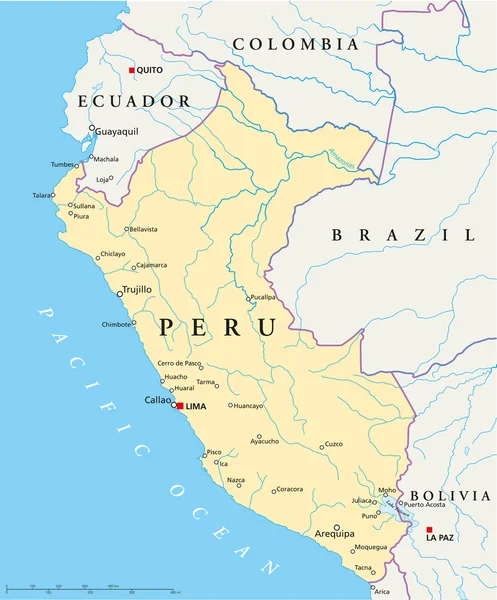
Political map of Peru with capital Lima, national borders, most important cities, rivers and lakes. Vector illustration with English labeling and scaling.
Peru Political Map — Stock Vector
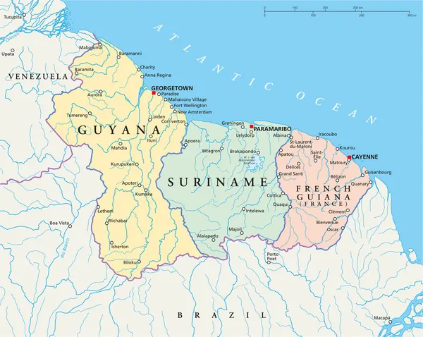
Political map of Guyana, Suriname and French Guiana with capitals Georgetown, Paramaribo and Cayenne, with national borders, most important cities, rivers and lakes. Vector illustration with English labeling and scaling.
Guyana, Suriname and French Guiana Political Map — Stock Vector
Galapagos Islands, Ecuador, political map, with capital Puerto Baquerizo Moreno. Archipelago of volcanic islands on either side of equator in Pacific Ocean known for a large number of endemic species.
Galapagos Islands Ecuador Political Map Capital Puerto Baquerizo Moreno Archipelago — Stock Vector
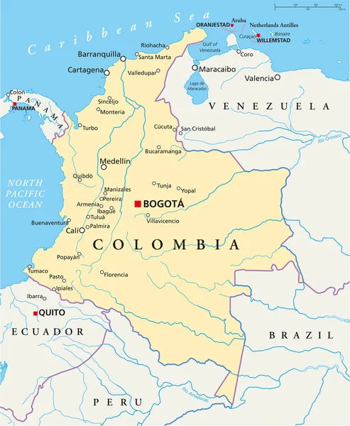
Political map of Colombia with capital Bogota, national borders, most important cities, rivers and lakes. Illustration with English labeling and scaling.
Colombia Political Map — Stock Vector
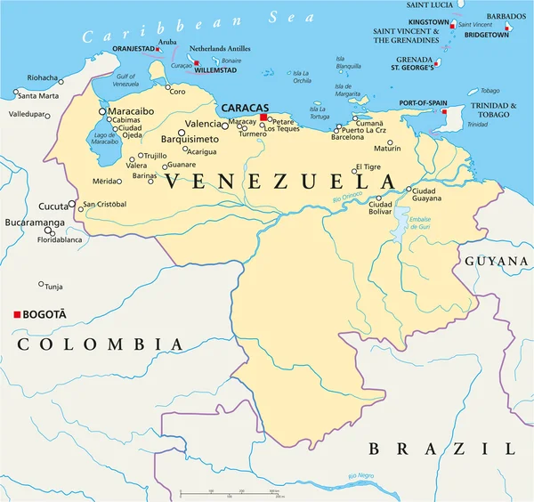
Political map of Venezuela with capital Caracas, with national borders, most important cities, rivers and lakes. Illustration with English labeling and scaling.
Venezuela Political Map — Stock Vector
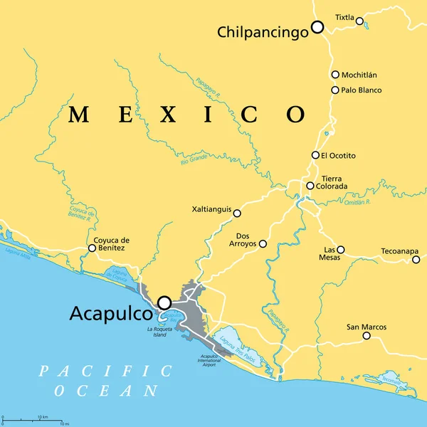
Acapulco and surroundings, political map. Acapulco de Juarez, city and major port of call in state of Guerrero on the Pacific Coast of Mexico. Popular tourist spot and port of call for cruise ships.
Acapulco Surroundings Political Map Acapulco Juarez City Major Port Call — Stock Vector
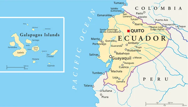
Political map of Ecuador and Galapagos Islands with the capital quito, national borders, most important cities, rivers and lakes. Vector illustration with english labeling and scale.
Ecuador and Galapagos Islands Political Map — Stock Vector
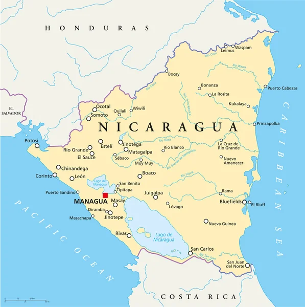
Political map of Nicaragua with capital Managua, with national borders, most important cities, rivers and lakes. Illustration with English labeling and scaling.
Nicaragua Political Map — Stock Vector
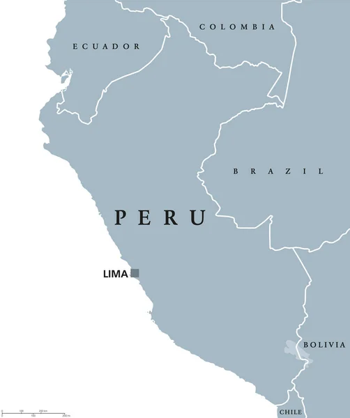
Peru political map with capital Lima, national borders and neighbors. Republic and country in western South America. Gray illustration isolated on white background. English labeling. Vector.
Peru political map — Stock Vector
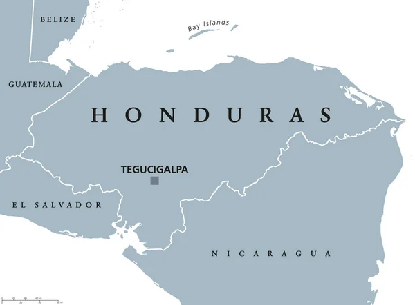
Honduras political map with capital Tegucigalpa, national borders and neighbors. Republic and country in Central America. Spanish Honduras. Gray illustration over white. English labeling. Vector.
Honduras political map — Stock Vector
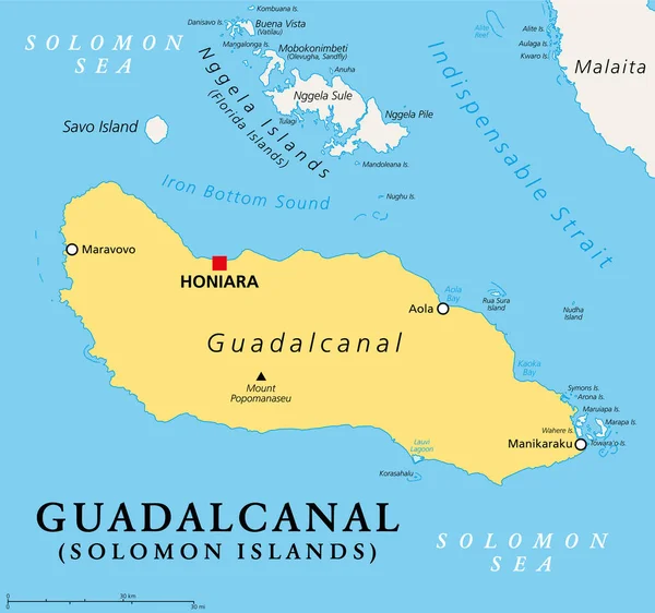
Guadalcanal, principal and largest island of the Solomon Islands, located in the Solomon Sea, and in the southwestern Pacific Ocean, with Honiara, the capital of the island country. Illustration.
Guadalcanal Principal Largest Island Solomon Islands Located Solomon Sea Southwestern — Stock Vector
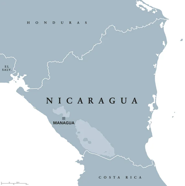
Nicaragua political map with capital Managua, national borders and neighbors. Republic and country in Central America isthmus. Gray illustration isolated on white background. English labeling. Vector.
Nicaragua political map — Stock Vector
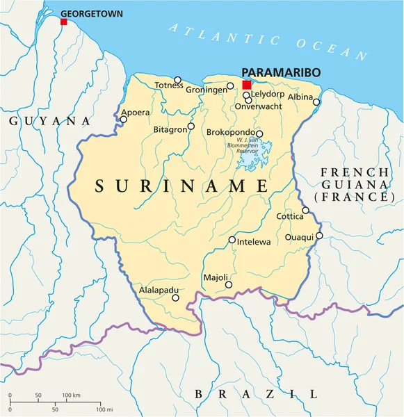
Suriname Political Map with capital Paramaribo, national borders, most important cities, rivers and lakes. Illustration with labeling and scaling.
Suriname Political Map — Stock Vector
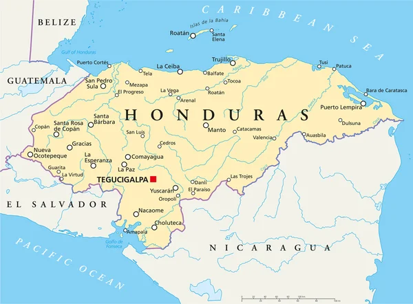
Political map of Honduras with capital Tegucigalpa, with national borders, most important cities, rivers and lakes. Illustration with English labeling and scaling.
Honduras Political Map — Stock Vector
Colombia political map with capital Bogota, national borders and neighbors. Republic and transcontinental country in Central and South America. Gray illustration over white. English labeling. Vector.
Colombia political map — Stock Vector
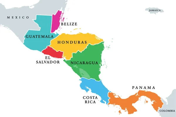
Central America countries, colored political map. Subregion of the Americas, between Mexico and Colombia, consisting of Belize, Guatemala, Honduras, El Salvador, Nicaragua, Costa Rica and Panama.
Central America Countries Colored Political Map Subregion Americas Mexico Colombia — Stock Vector

Usage Information

You can use this royalty-free vector image "Darien Gap, gray political map. Region in the Isthmus of Panama, connecting North and South America with Central America. The gap is in the Pan-American Highway of which a part were not built." for personal and commercial purposes according to the Standard or Extended License. The Standard License covers most use cases, including advertising, UI designs, and product packaging, and allows up to 500,000 print copies. The Extended License permits all use cases under the Standard License with unlimited print rights and allows you to use the downloaded vector files for merchandise, product resale, or free distribution.

This stock vector image is scalable to any size. You can buy and download it in high resolution up to 6000x6000. Upload Date: Jun 27, 2023