Dark Gray Flat Vector Administrative Map 15Th Arondissement Vaugirard Paris — Stock Vector

Dark gray flat vector administrative map of the 15TH ARONDISSEMENT (DE VAUGIRARD), PARIS, FRANCE with name tags and white border lines of its quarters — Vector

Dark gray flat vector administrative map of the 15TH ARONDISSEMENT (DE VAUGIRARD), PARIS, FRANCE with name tags and white border lines of its quarters

 — Vector by momcilo.jovanov

Same Series:

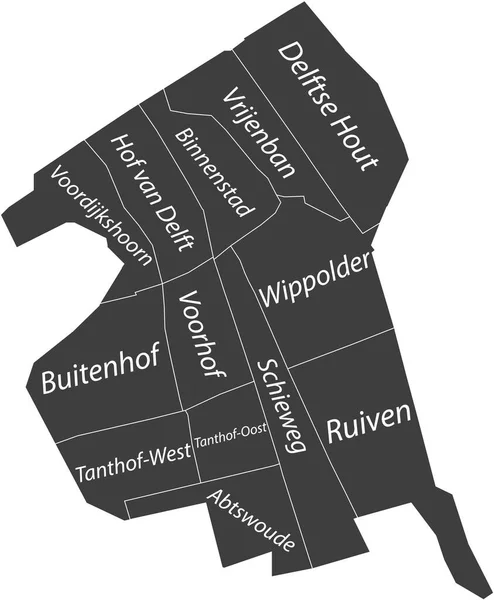
Dark gray flat vector administrative map of DELFT, NETHERLANDS with name tags and white border lines of its districts
Dark Gray Flat Vector Administrative Map Delft Netherlands Name Tags — Stock Vector
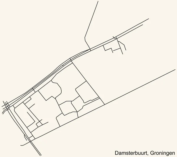
Detailed navigation black lines urban street roads map of the DAMSTERBUURT NEIGHBORHOOD of the Dutch regional capital city Groningen, Netherlands on vintage beige background
Detailed Navigation Black Lines Urban Street Roads Map Damsterbuurt Neighborhood — Stock Vector
White flat vector administrative map of THE HAGUE, NETHERLANDS with name tags and black border lines of its districts
White Flat Vector Administrative Map Hague Netherlands Name Tags Black — Stock Vector
Dark gray flat vector administrative map of TILBURG, NETHERLANDS with name tags and white border lines of its districts
Dark Gray Flat Vector Administrative Map Tilburg Netherlands Name Tags — Stock Vector
Detailed navigation black lines urban street roads map of the LAANHUIZEN NEIGHBORHOOD of the Dutch regional capital city Groningen, Netherlands on vintage beige background
Detailed Navigation Black Lines Urban Street Roads Map Laanhuizen Neighborhood — Stock Vector
Dark gray flat vector administrative map of NIJMEGEN, NETHERLANDS with name tags and white border lines of its districts
Dark Gray Flat Vector Administrative Map Nijmegen Netherlands Name Tags — Stock Vector
Dark gray flat vector administrative map of EINDHOVEN, NETHERLANDS with name tags and white border lines of its districts
Dark Gray Flat Vector Administrative Map Eindhoven Netherlands Name Tags — Stock Vector
Detailed navigation black lines urban street roads map of the DORKWERD NEIGHBORHOOD of the Dutch regional capital city Groningen, Netherlands on vintage beige background
Detailed Navigation Black Lines Urban Street Roads Map Dorkwerd Neighborhood — Stock Vector
Dark gray flat vector administrative map of ZOETERMEER, NETHERLANDS with name tags and white border lines of its districts
Dark Gray Flat Vector Administrative Map Zoetermeer Netherlands Name Tags — Stock Vector
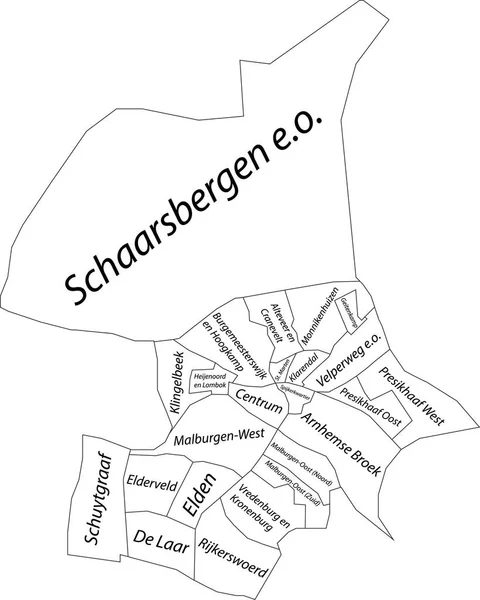
White flat vector administrative map of ARNHEM, NETHERLANDS with name tags and black border lines of its districts
White Flat Vector Administrative Map Arnhem Netherlands Name Tags Black — Stock Vector
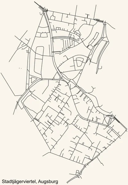
Detailed navigation black lines urban street roads map of the STADTJGERVIERTEL DISTRICT of the German regional capital city of Augsburg, Germany on vintage beige background
Detailed Navigation Black Lines Urban Street Roads Map Stadtjgerviertel District — Stock Vector
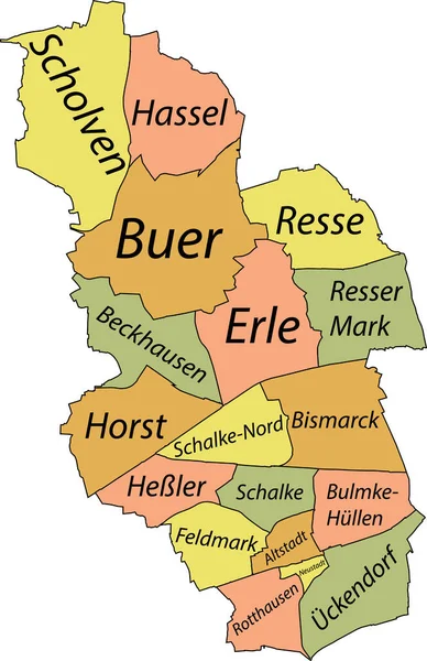
Pastel flat vector administrative map of GELSENKIRCHEN, GERMANY with name tags and black border lines of its districts
Pastel Flat Vector Administrative Map Gelsenkirchen Germany Name Tags Black — Stock Vector
White flat vector administrative map of ZOETERMEER, NETHERLANDS with name tags and black border lines of its districts
White Flat Vector Administrative Map Zoetermeer Netherlands Name Tags Black — Stock Vector
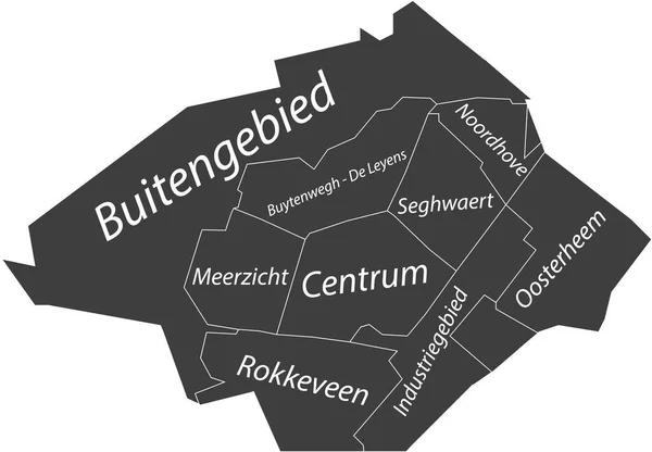
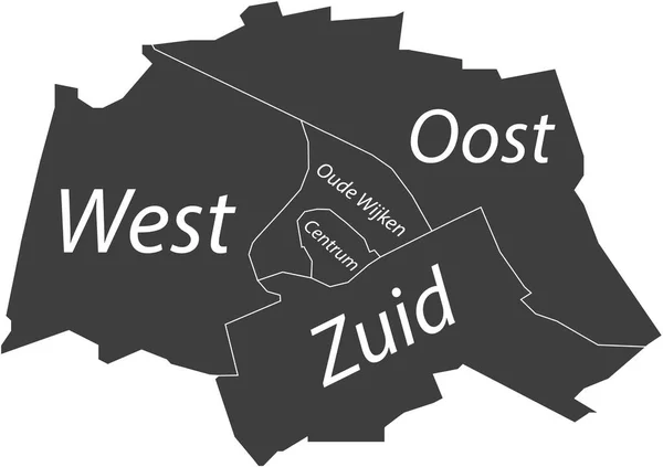
Dark gray flat vector administrative map of GRONINGEN, NETHERLANDS with name tags and white border lines of its districts
Dark Gray Flat Vector Administrative Map Groningen Netherlands Name Tags — Stock Vector
Simple white vector map with black borders and name tags of urban city districts of Biel-Bienne, Switzerland
Simple White Vector Map Black Borders Name Tags Urban City — Stock Vector
Simple white vector map with black borders and name tags of urban city districts of Bonn, Germany
Simple White Vector Map Black Borders Name Tags Urban City — Stock Vector

Similar Stock Videos:

Line animated map showing the state of Massachusetts from the united state of america. 2d map of Massachusetts. 4k
Line animated map showing the state of Massachusetts from the united state of america. 2d map of Massachusetts. — Stock Video
Self drawing line animation of continuous line vintage label frame movie title design
Self Drawing Line Animation Continuous Line Vintage Label Frame Movie — Stock Video
Alabama State of the United States of America. Animated line location marker on the map. Easy to use with screen transparency mode on your video. 4k
Alabama State of the United States of America. Animated line location marker on the map. Easy to use with screen transparency mode on your video. — Stock Video
United States Map - Motion Graphic Cartoon Animation Footage. 4K Resolution Video. Transparency Alpha Channel Included. White Background
United States Map Motion Graphic Cartoon Animation Footage Resolution Video — Stock Video
Line animated map showing the state of pennsylvania from the united state of america. 2d map of pennsylvania. 4k
Line animated map showing the state of pennsylvania from the united state of america. 2d map of pennsylvania. — Stock Video
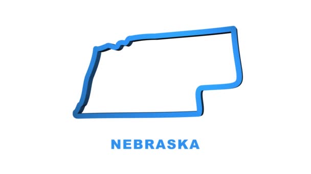
Nebraska USA federal state map outline animation. Motion graphics
Nebraska USA federal state map outline animation. Motion graphics. — Stock Video
Minnesota State of USA. Animated map of USA showing the state of Minnesota. United States of America. Neumorphism minimal style.
Minnesota State of USA. Animated map of USA showing the state of Minnesota. United States of America. Neumorphism minimal style — Stock Video
Canada Map Showing Up Intro By Regions 4k animated Canada map intro background with countries appearing and fading one by one and camera movement.
Canada Map Showing Up Intro By Regions 4k animated Canada map intro background with countries appearing and fading one by one and camera movement — Stock Video
Watercolor animated map showing the state of Arkansas from the united state of American. 2d map of Arkansas. 4k Motion graphics.
Watercolor animated map showing the state of Arkansas from the united state of American. 2d map of Arkansas. — Stock Video
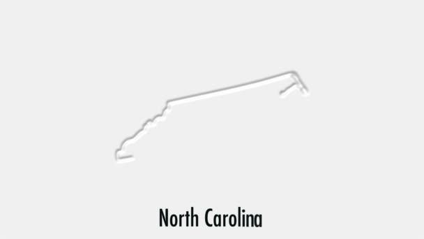
Abstract line animation North Carolina State of USA on hexagon style. North Carolina state. United States of America. Outline map of North Carolina federal state highlighted from map of USA.
Abstract line animation North Carolina State of USA on hexagon style. North Carolina state. United States of America. Outline map of North Carolina federal state highlighted from map of USA — Stock Video
3d animation of USA map, loop with alpha matte for compositing
3d animation of USA map, loop with alpha matte for compositing — Stock Video
3d animation in cartoon style.
Flies and the Stench. — Stock Video
Virginia State of the United States of America. Animated line location marker on the map. Easy to use with screen transparency mode on your video. 4k
Virginia State of the United States of America. Animated line location marker on the map. Easy to use with screen transparency mode on your video. — Stock Video
Bosnia Herzegovina with flag on world map
Bosnia Herzegovina with flag on world map — Stock Video
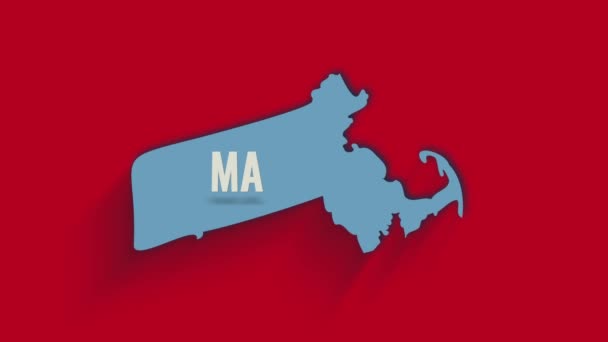
3d animated map showing the state of Massachusetts from the United State of America. USA. 3d Massachusetts state with shadow on red background.
3d animated map showing the state of Massachusetts from the United State of America. USA. 3d Massachusetts state with shadow on red background — Stock Video
North Carolina State of the United States of America. Animated line location marker on the map. Easy to use with screen transparency mode on your video. 4k
North Carolina State of the United States of America. Animated line location marker on the map. Easy to use with screen transparency mode on your video. — Stock Video
Montana State of the United States of America. Animated line location marker on the map. Easy to use with screen transparency mode on your video. 4k
Montana State of the United States of America. Animated line location marker on the map. Easy to use with screen transparency mode on your video. — Stock Video
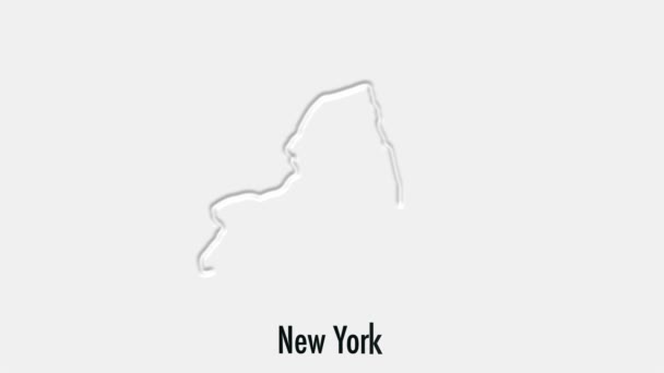
Abstract line animation New York State of USA on hexagon style. New York state. United States of America. Outline map of New York federal state highlighted from map of USA.
Abstract line animation New York State of USA on hexagon style. New York state. United States of America. Outline map of New York federal state highlighted from map of USA — Stock Video

Usage Information

You can use this royalty-free vector image "Dark gray flat vector administrative map of the 15TH ARONDISSEMENT (DE VAUGIRARD), PARIS, FRANCE with name tags and white border lines of its quarters" for personal and commercial purposes according to the Standard or Extended License. The Standard License covers most use cases, including advertising, UI designs, and product packaging, and allows up to 500,000 print copies. The Extended License permits all use cases under the Standard License with unlimited print rights and allows you to use the downloaded vector files for merchandise, product resale, or free distribution.

This stock vector image is scalable to any size. You can buy and download it in high resolution up to 5434x4417. Upload Date: May 3, 2022