Detailed Hand Drawn Navigational Urban Street Roads Map Fay Commune — Stock Vector

Detailed hand-drawn navigational urban street roads map of the FAY COMMUNE of the French city of LE MANS, France with vivid road lines and name tag on solid background — Vector

Detailed hand-drawn navigational urban street roads map of the FAY COMMUNE of the French city of LE MANS, France with vivid road lines and name tag on solid background

 — Vector by momcilo.jovanov

Same Series:

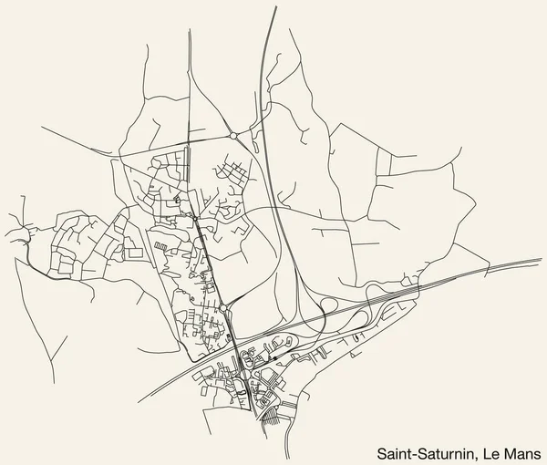
Detailed hand-drawn navigational urban street roads map of the SAINT-SATURNIN COMMUNE of the French city of LE MANS, France with vivid road lines and name tag on solid background
Detailed Hand Drawn Navigational Urban Street Roads Map Saint Saturnin — Stock Vector
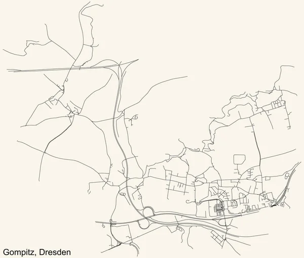
Black simple detailed street roads map on vintage beige background of the quarter Gompitz locality of Dresden, Germany
Black Simple Detailed Street Roads Map Vintage Beige Background Quarter — Stock Vector
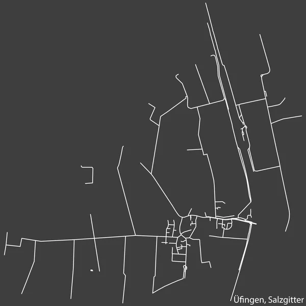
Detailed negative navigation white lines urban street roads map of the FINGEN QUARTER of the German regional capital city of Salzgitter, Germany on dark gray background
Detailed Negative Navigation White Lines Urban Street Roads Map Fingen — Stock Vector
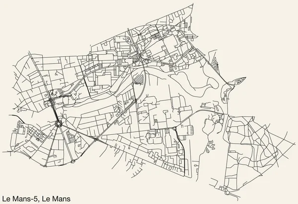
Detailed hand-drawn navigational urban street roads map of the LE MANS-5 CANTON of the French city of LE MANS, France with vivid road lines and name tag on solid background
Detailed Hand Drawn Navigational Urban Street Roads Map Mans Canton — Stock Vector
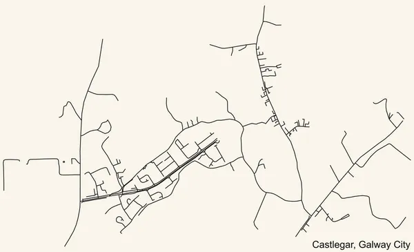
Detailed navigation urban street roads map on vintage beige background of the district An Caislen Gearr-Castlegar Electoral Area of the Irish regional capital city of Galway City, Ireland
Detailed Navigation Urban Street Roads Map Vintage Beige Background District — Stock Vector
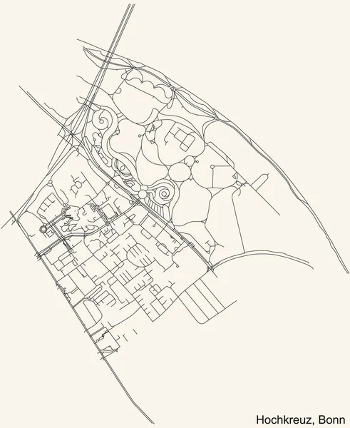
Detailed navigation urban street roads map on vintage beige background of the quarter Hochkreuz sub-district of the German capital city of Bonn, Germany
Detailed Navigation Urban Street Roads Map Vintage Beige Background Quarter — Stock Vector
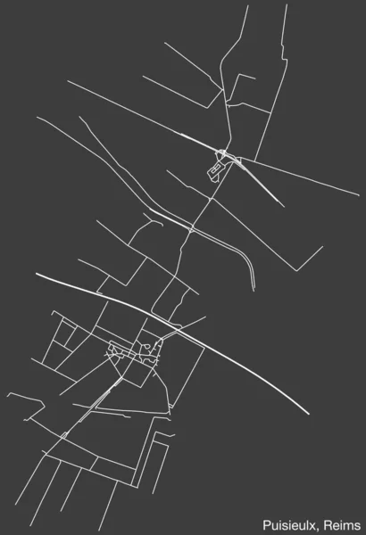
Detailed hand-drawn navigational urban street roads map of the PUISIEULX COMMUNE of the French city of REIMS, France with vivid road lines and name tag on solid background
Detailed Hand Drawn Navigational Urban Street Roads Map Puisieulx Commune — Stock Vector
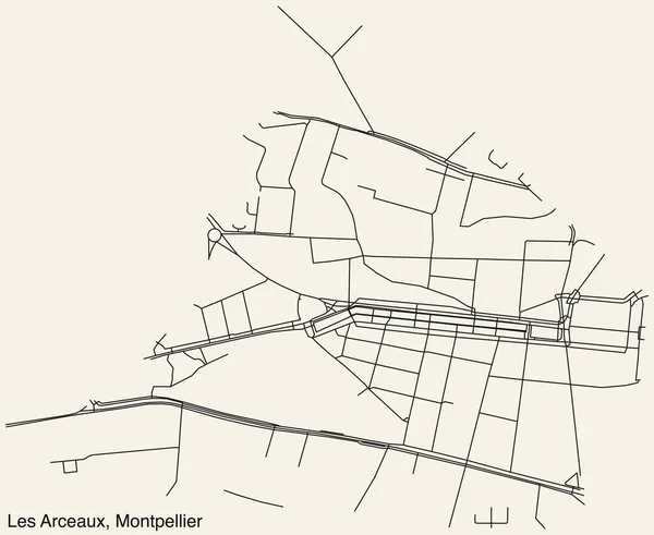
Detailed hand-drawn navigational urban street roads map of the LES ARCEAUX NEIGHBOURHOOD of the French city of MONTPELLIER, France with vivid road lines and name tag on solid background
Detailed Hand Drawn Navigational Urban Street Roads Map Les Arceaux — Stock Vector
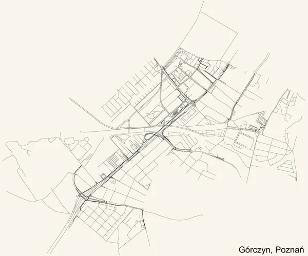
Black simple detailed street roads map on vintage beige background of the quarter Grczyn district of Poznan, Poland
Black Simple Detailed Street Roads Map Vintage Beige Background Quarter — Stock Vector
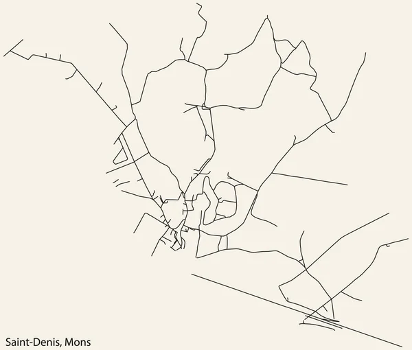
Detailed hand-drawn navigational urban street roads map of the SAINT-DENIS DISTRICT of the Belgian city of MONS, Belgium with vivid road lines and name tag on solid background
Detailed Hand Drawn Navigational Urban Street Roads Map Saint Denis — Stock Vector
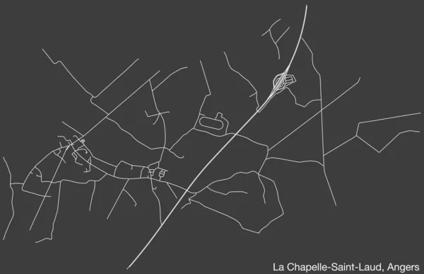
Detailed hand-drawn navigational urban street roads map of the LA CHAPELLE-SAINT-LAUD COMMUNE of the French city of ANGERS, France with vivid road lines and name tag on solid background
Detailed Hand Drawn Navigational Urban Street Roads Map Chapelle Saint — Stock Vector
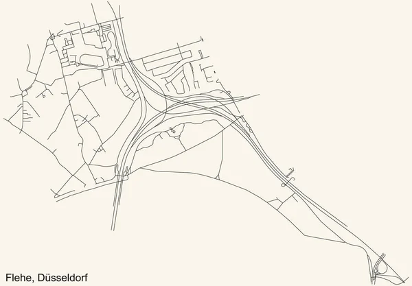
Black simple detailed street roads map on vintage beige background of the quarter Flehe Stadtteil of Dsseldorf, Germany
Black Simple Detailed Street Roads Map Vintage Beige Background Quarter — Stock Vector
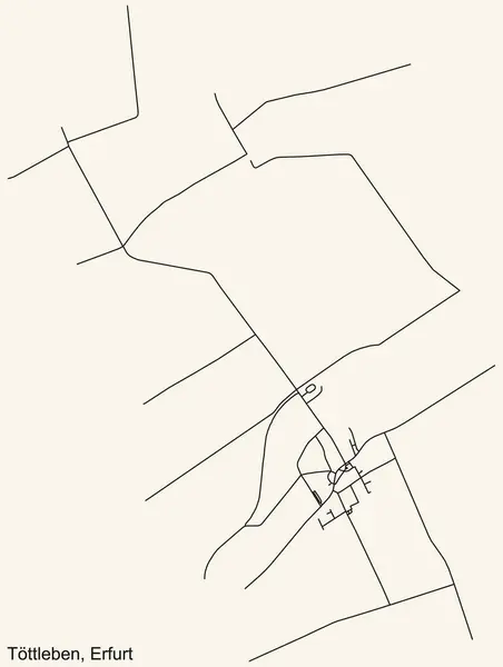
Detailed navigation black lines urban street roads map of the TTTLEBEN DISTRICT of the German regional capital city of Erfurt, Germany on vintage beige background
Detailed Navigation Black Lines Urban Street Roads Map Tttleben District — Stock Vector
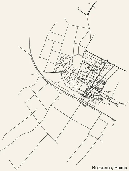
Detailed hand-drawn navigational urban street roads map of the BEZANNES COMMUNE of the French city of REIMS, France with vivid road lines and name tag on solid background
Detailed Hand Drawn Navigational Urban Street Roads Map Bezannes Commune — Stock Vector
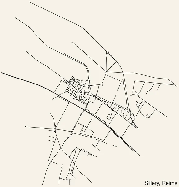
Detailed hand-drawn navigational urban street roads map of the SILLERY COMMUNE of the French city of REIMS, France with vivid road lines and name tag on solid background
Detailed Hand Drawn Navigational Urban Street Roads Map Sillery Commune — Stock Vector
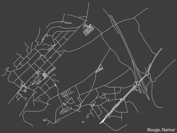
Detailed hand-drawn navigational urban street roads map of the BOUGE DISTRICT of the Belgian city of NAMUR, Belgium with vivid road lines and name tag on solid background
Detailed Hand Drawn Navigational Urban Street Roads Map Bouge District — Stock Vector

Usage Information

You can use this royalty-free vector image "Detailed hand-drawn navigational urban street roads map of the FAY COMMUNE of the French city of LE MANS, France with vivid road lines and name tag on solid background" for personal and commercial purposes according to the Standard or Extended License. The Standard License covers most use cases, including advertising, UI designs, and product packaging, and allows up to 500,000 print copies. The Extended License permits all use cases under the Standard License with unlimited print rights and allows you to use the downloaded vector files for merchandise, product resale, or free distribution.

This stock vector image is scalable to any size. You can buy and download it in high resolution up to 4900x5100. Upload Date: Jul 13, 2023