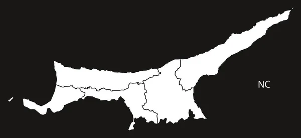
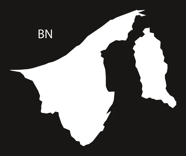
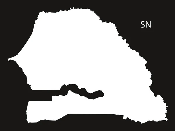
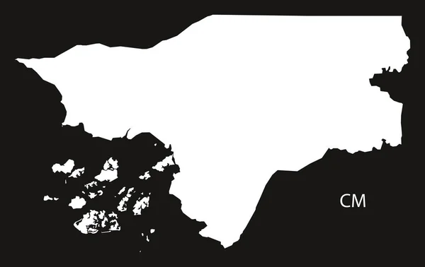
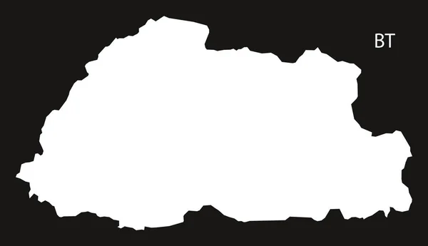
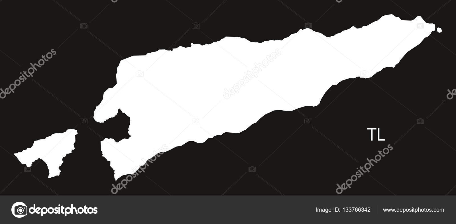
East Timor Map black and white — Stock Vector

East Timor Map black and white — Vector

East Timor Map black and white illustration

 — Vector by ingomenhard

Similar Stock Videos:
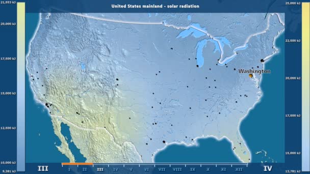
Solar radiation by month in the United States Mainland area with animated legend - English labels: country and capital names, map description. Stereographic projection
Solar Radiation Month United States Mainland Area Animated Legend English — Stock Video
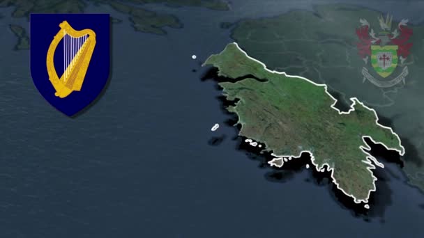
Counties of Ireland Donegal whit Coat of arms animation map
Counties Ireland Donegal Whit Coat Arms Animation Map — Stock Video
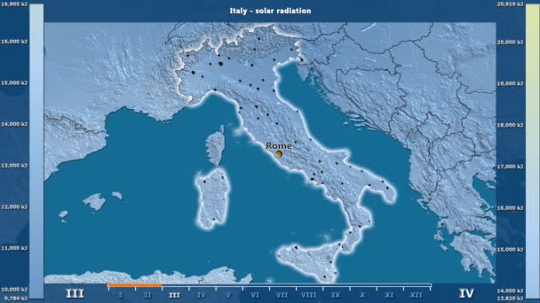
Solar radiation by month in the Italy area with animated legend - English labels: country and capital names, map description. Stereographic projection
Solar Radiation Month Italy Area Animated Legend English Labels Country — Stock Video
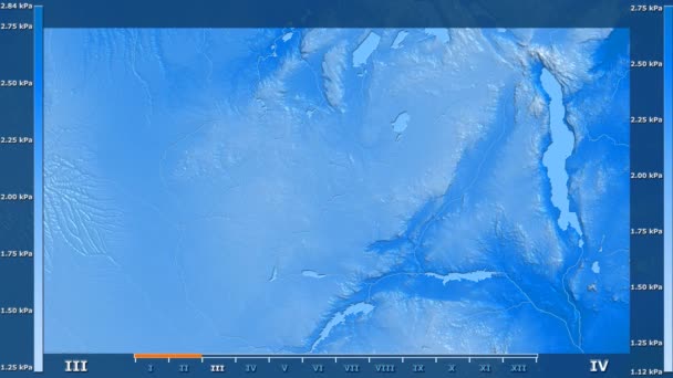
Water vapor pressure by month in the Zambia area with animated legend - raw color shader. Stereographic projection
Water Vapor Pressure Month Zambia Area Animated Legend Raw Color — Stock Video
States of Nigeria - Geographic Maps
States Nigeria Geographic Maps — Stock Video
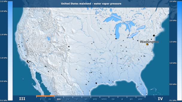
Water vapor pressure by month in the United States Mainland area with animated legend - English labels: country and capital names, map description. Stereographic projection
Water Vapor Pressure Month United States Mainland Area Animated Legend — Stock Video
Minimum temperature by month in the Western Sahara area with animated legend - English labels: country and capital names, map description. Stereographic projection
Minimum Temperature Month Western Sahara Area Animated Legend English Labels — Stock Video
Water vapor pressure by month in the Senegal area with animated legend - English labels: country and capital names, map description. Stereographic projection
Water Vapor Pressure Month Senegal Area Animated Legend English Labels — Stock Video
States of Mexico - Geographic Maps
States Mexico Geographic Maps — Stock Video
Precipitation by month in the Mauritania area with animated legend - English labels: country and capital names, map description. Stereographic projection
Precipitation Month Mauritania Area Animated Legend English Labels Country Capital — Stock Video
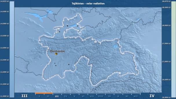
Solar radiation by month in the Tajikistan area with animated legend - English labels: country and capital names, map description. Stereographic projection
Solar Radiation Month Tajikistan Area Animated Legend English Labels Country — Stock Video
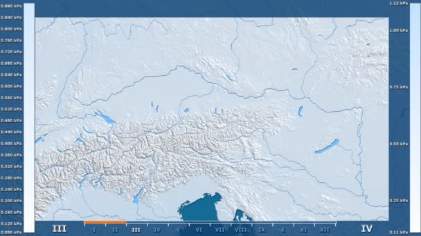
Water vapor pressure by month in the Austria area with animated legend - raw color shader. Stereographic projection
Water Vapor Pressure Month Austria Area Animated Legend Raw Color — Stock Video
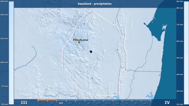
Precipitation by month in the Swaziland area with animated legend - English labels: country and capital names, map description. Stereographic projection
Precipitation Month Swaziland Area Animated Legend English Labels Country Capital — Stock Video
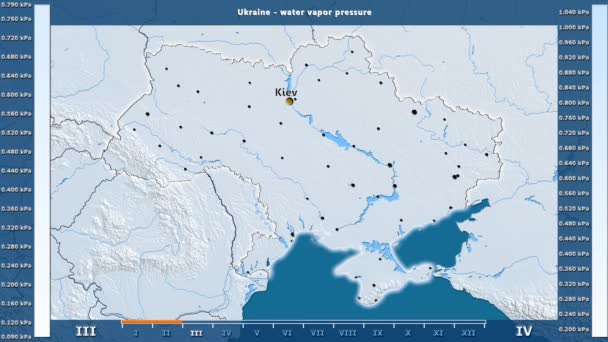
Water vapor pressure by month in the Ukraine area with animated legend - English labels: country and capital names, map description. Stereographic projection
Water Vapor Pressure Month Ukraine Area Animated Legend English Labels — Stock Video
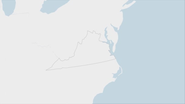
US State Virginia map highlighted in Virginia flag colors and pin of country capital Richmond, map with neighboring States.
State Virginia Map Highlighted Virginia Flag Colors Pin Country Capital — Stock Video
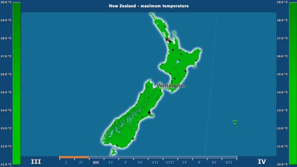
Maximum temperature by month in the New Zealand area with animated legend - English labels: country and capital names, map description. Stereographic projection
Maximum Temperature Month New Zealand Area Animated Legend English Labels — Stock Video
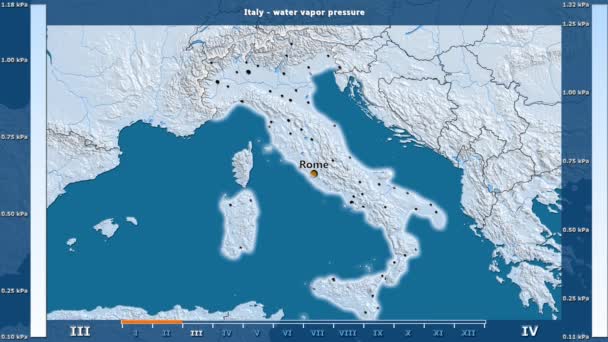
Water vapor pressure by month in the Italy area with animated legend - English labels: country and capital names, map description. Stereographic projection
Water Vapor Pressure Month Italy Area Animated Legend English Labels — Stock Video
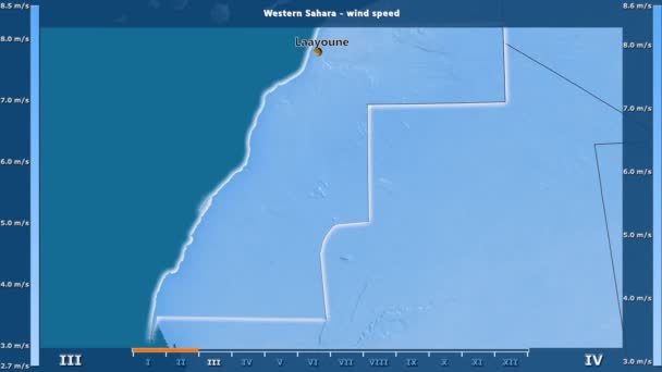
Wind speed by month in the Western Sahara area with animated legend - English labels: country and capital names, map description. Stereographic projection
Wind Speed Month Western Sahara Area Animated Legend English Labels — Stock Video

Usage Information

You can use this royalty-free vector image "East Timor Map black and white" for personal and commercial purposes according to the Standard or Extended License. The Standard License covers most use cases, including advertising, UI designs, and product packaging, and allows up to 500,000 print copies. The Extended License permits all use cases under the Standard License with unlimited print rights and allows you to use the downloaded vector files for merchandise, product resale, or free distribution.

This stock vector image is scalable to any size. You can buy and download it in high resolution up to 11668x5000. Upload Date: Dec 10, 2016