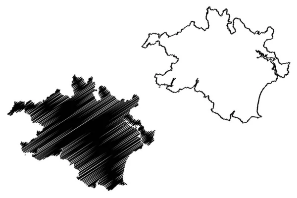
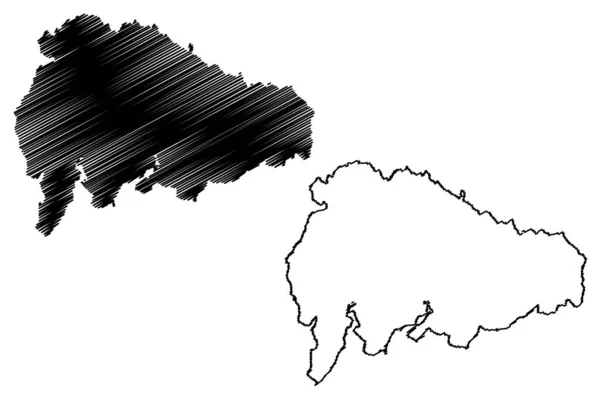
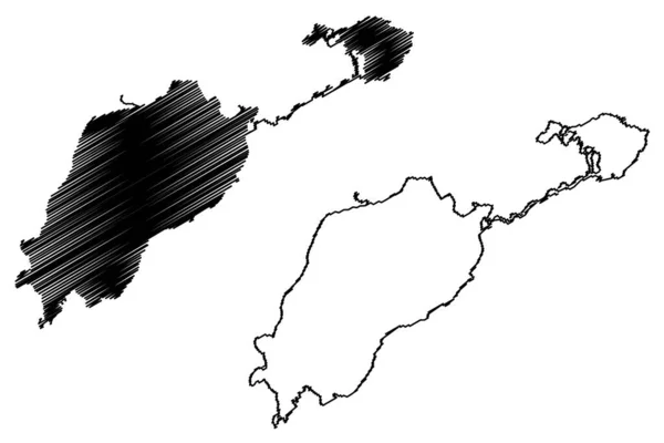
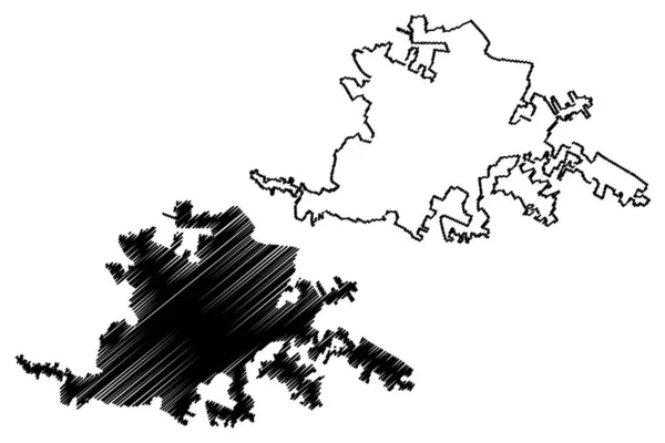
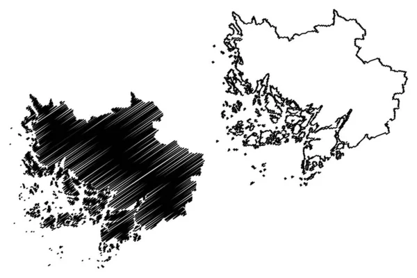
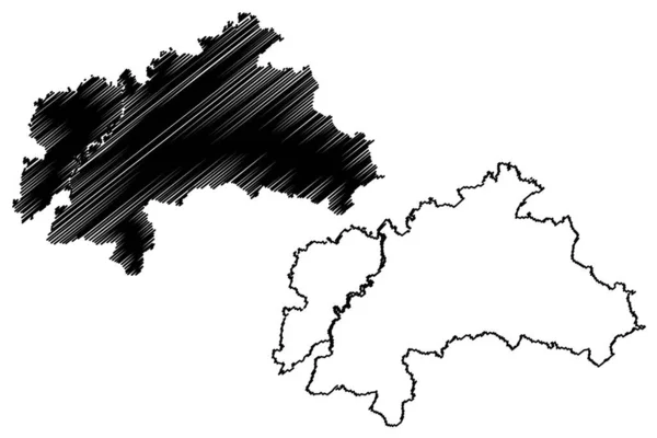
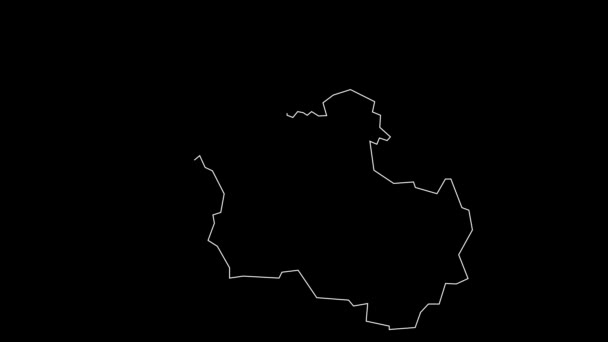
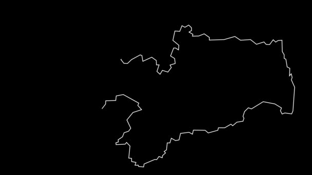
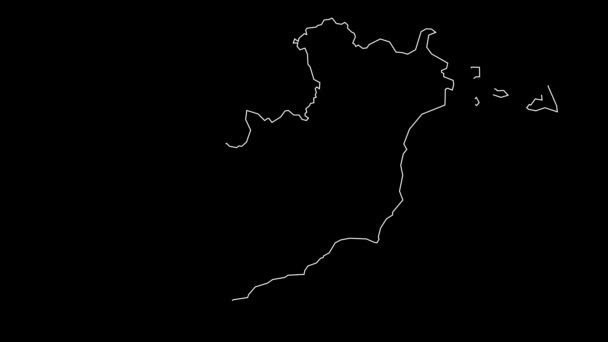
Eastern District, American Samoa (Unincorporated and unorganized U.S. territory, United States of America) map vector illustration, scribble sketch Western Samoa (Tutuila, Aunu'u island) map — Stock Vector

Eastern District, American Samoa (Unincorporated and unorganized U.S. territory, United States of America) map vector illustration, scribble sketch Western Samoa (Tutuila, Aunu'u island) map — Vector

Eastern District, American Samoa (Unincorporated and unorganized U.S. territory, United States of America) map vector illustration, scribble sketch Western Samoa (Tutuila, Aunu'u island) map

 — Vector by Danler

Same Series:

Sumbawa island (Republic of Indonesia, Lesser Sunda Islands, South East Asia) map vector illustration, scribble sketch Sumbawa map
Sumbawa Island Republic Indonesia Lesser Sunda Islands South East Asia — Stock Vector
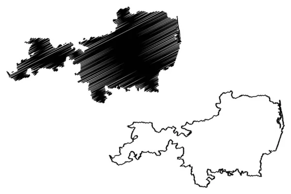
South Hams local government district (United Kingdom of Great Britain and Northern Ireland, ceremonial county Devon or Devonshire, England) map vector illustration, scribble sketch map
South Hams Local Government District United Kingdom Great Britain Northern — Stock Vector
Kanker district (Chhattisgarh State, Bastar division, Republic of India) map vector illustration, scribble sketch Kanker map
Kanker District Chhattisgarh State Bastar Division Republic India Map Vector — Stock Vector
Tiruvallur district (Tamil Nadu State, Republic of India) map vector illustration, scribble sketch Thiruvallur map
Tiruvallur District Tamil Nadu State Republic India Map Vector Illustration — Stock Vector
Morelia City (United Mexican States, Mexico, Michoacan State) map vector illustration, scribble sketch City of Valladolid map
Morelia City United Mexican States Mexico Michoacan State Map Vector — Stock Vector
Oshima island (Japan, East Asia, Japanese archipelago, Nagasaki) map vector illustration, scribble sketch Oshima map
Oshima Island Japan East Asia Japanese Archipelago Nagasaki Map Vector — Stock Vector
Singo island (Kingdom of Sweden) map vector illustration, scribble sketch map
Singo Island Kingdom Sweden Map Vector Illustration Scribble Sketch Map — Stock Vector
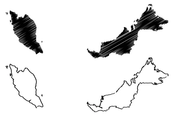
Malaysia map vector illustration, scribble sketch Malaysia
Malaysia map vector — Stock Vector
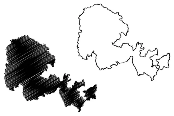
Mainland island (United Kingdom of Great Britain and Northern Ireland, Orkney Islands, Scotland) map vector illustration, scribble sketch Hrossey or Pomona map
Mainland Island United Kingdom Great Britain Northern Ireland Orkney Islands — Stock Vector
South Lakeland district (United Kingdom of Great Britain and Northern Ireland, ceremonial county Cumbria, England) map vector illustration, scribble sketch South Lakeland map
South Lakeland District United Kingdom Great Britain Northern Ireland Ceremonial — Stock Vector
Lake Edward and George (Africa, Republic of Uganda, Democratic Republic of the Congo, Congo-Kinshasa, DR Congo) map vector illustration, scribble sketch Rwitanzigye or Rweru and Katunguru map
Lake Edward George Africa Republic Uganda Democratic Republic Congo Congo — Stock Vector
Latina City (Italian Republic, Italy, Lazio) map vector illustration, scribble sketch City of Littoria map
Latina City Italian Republic Italy Lazio Map Vector Illustration Scribble — Stock Vector
Southwest Finland Region (Republic of Finland) map vector illustration, scribble sketch Southwest map
Southwest Finland Region (Republic of Finland) map vector illustration, scribble sketch Southwest map — Stock Vector
Weilheim-Schongau district (Federal Republic of Germany, rural district Upper Bavaria, Free State of Bavaria) map vector illustration, scribble sketch Weilheim Schongau map
Weilheim Schongau District Federal Republic Germany Rural District Upper Bavaria — Stock Vector
Newcastle under Lyme Non-metropolitan district, Borough (United Kingdom of Great Britain and Northern Ireland, ceremonial county Staffordshire or Staffs, England) map vector, scribble sketch map
Newcastle Lyme Non Metropolitan District Borough United Kingdom Great Britain — Stock Vector
Gandhinagar district (Gujarat State, Republic of India) map vector illustration, scribble sketch Gandhinagar map
Gandhinagar District Gujarat State Republic India Map Vector Illustration Scribble — Stock Vector

Usage Information

You can use this royalty-free vector image "Eastern District, American Samoa (Unincorporated and unorganized U.S. territory, United States of America) map vector illustration, scribble sketch Western Samoa (Tutuila, Aunu'u island) map" for personal and commercial purposes according to the Standard or Extended License. The Standard License covers most use cases, including advertising, UI designs, and product packaging, and allows up to 500,000 print copies. The Extended License permits all use cases under the Standard License with unlimited print rights and allows you to use the downloaded vector files for merchandise, product resale, or free distribution.

This stock vector image is scalable to any size. You can buy and download it in high resolution up to 7087x4726. Upload Date: Dec 17, 2019