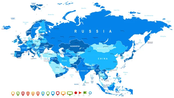
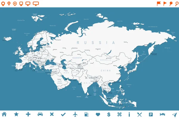
Eurasia map and navigation icons - Illustration. — Stock Vector

Eurasia map and navigation icons - Illustration. — Vector

Vector illustration of Eurasia map and navigation icons.

 — Vector by dikobrazik

Same Series:

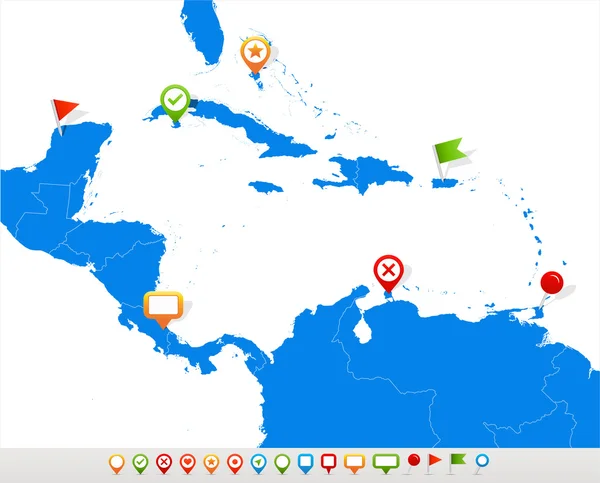
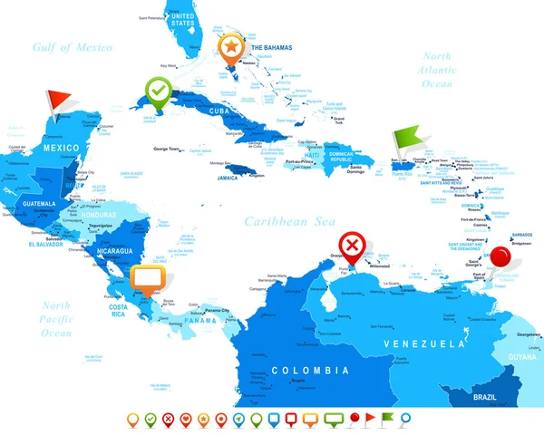
Vector illustration of Central America map and navigation icons.
Central America map and navigation icons - Illustration. — Stock Vector
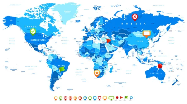
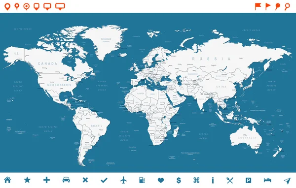
Vector illustration of World map and navigation icons
World Map and navigation icons - illustration — Stock Vector
Australia and Oceania map - highly detailed vector illustration. Image contains land contours, country and land names, city names, water object names, navigation icons.
Australia and Oceania - map and navigation icons - illustration. — Stock Vector
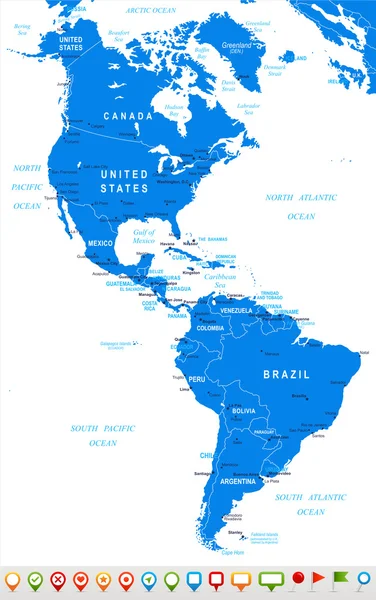
North and South America map - highly detailed vector illustration. Image contains land contours, country and land names, city names, water object names, navigation icons.
North and South America - map and navigation icons - illustration. — Stock Vector
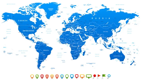
Highly detailed world map: countries, cities, water objects
Blue World Map and navigation icons - illustration — Stock Vector
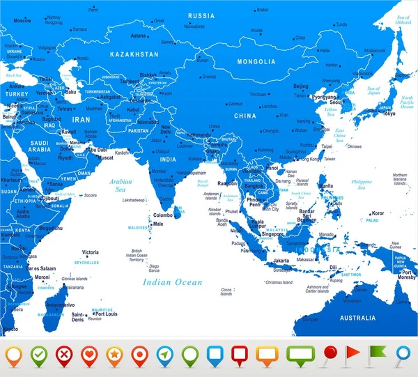
Southern Asia Map - Detailed Vector Illustration
Southern Asia Map - Vector Illustration — Stock Vector
Eurasia Europa Russia China India Indonesia Thailand Map - Detailed Vector Illustration
Eurasia Europa Russia China India Indonesia Thailand Map - Vector Illustration — Stock Vector
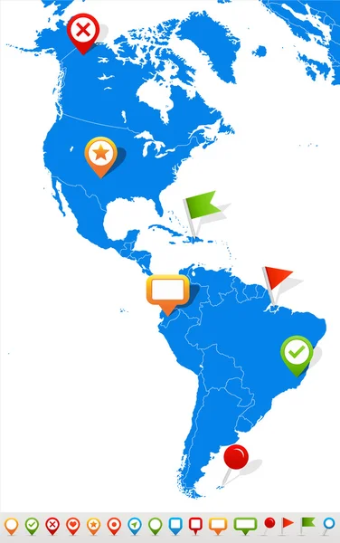
Vector illustration of North and South America map and navigation icons.
North and South America map and navigation icons - Illustration. — Stock Vector
Asia map - highly detailed vector illustration. Image contains land contours, country and land names, city names, water object names, navigation icons.
Asia - map and navigation icons - illustration. — Stock Vector
Asia map - highly detailed vector illustration. Image contains land contours, country and land names, city names, water object names, navigation icons.
Asia - map and navigation icons - illustration. — Stock Vector
Central America map - highly detailed vector illustration.
Central America - map and navigation icons - illustration. — Stock Vector
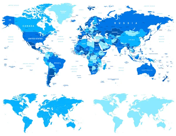
World maps with different specification. 1 - highly detailed: countries, cities, water objects 2 - country contours 3 - world contours
Blue World Map - borders, countries and cities - illustration — Stock Vector
North and South America map - highly detailed vector illustration.
North and South America - map and navigation icons - illustration. — Stock Vector
Eurasia map - highly detailed vector illustration. Image contains land contours, country and land names, city names, water object names, navigation icons.
Eurasia - map and navigation icons - illustration. — Stock Vector
Highly detailed world map: countries, cities, water objects.
Steel Blue World Map and navigation icons - illustration — Stock Vector
Eurasia map - highly detailed vector illustration. Image contains land contours, country and land names, city names, water object names, navigation icons.
Eurasia - map and navigation labels - illustration. — Stock Vector

Usage Information

You can use this royalty-free vector image "Eurasia map and navigation icons - Illustration." for personal and commercial purposes according to the Standard or Extended License. The Standard License covers most use cases, including advertising, UI designs, and product packaging, and allows up to 500,000 print copies. The Extended License permits all use cases under the Standard License with unlimited print rights and allows you to use the downloaded vector files for merchandise, product resale, or free distribution.

This stock vector image is scalable to any size. You can buy and download it in high resolution up to 7400x4782. Upload Date: Aug 31, 2015