Flat Green Political Map North America National Country Borders — Stock Vector

Flat Green Political Map of North America without National Country Borders — Vector

Flat Green Political Map of North America without National Country Borders

 — Vector by momcilo.jovanov

Same Series:

Purple Map of North America (USA and Canada) on White Background Without National Country Borders
Purple Map North America Usa Canada White Background National Country — Stock Vector
Blue Map of North America (USA, Canada and Mexico) on White Background With National Country Borders
Blue Map North America Usa Canada Mexico White Background National — Stock Vector
Black vector map of unitary presidential republic of Honduras
Black Vector Map Unitary Presidential Republic Honduras — Stock Vector
BLUE CMYK color detailed flat stencil map of the European country of FAROE ISLANDS on transparent background
Blue Cmyk Color Detailed Flat Stencil Map European Country Faroe — Stock Vector
Pink Map of North America (USA and Canada) on White Background With National Country Borders
Pink Map North America Usa Canada White Background National Country — Stock Vector
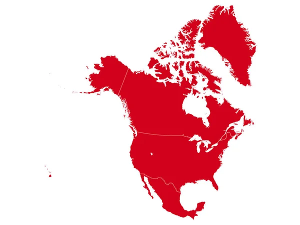
Red Map of North America (USA, Canada and Mexico) on White Background With National Country Borders
Red Map North America Usa Canada Mexico White Background National — Stock Vector
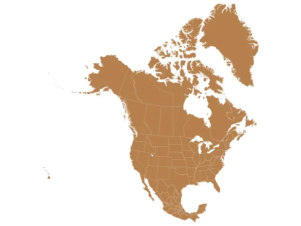
Brown Map of North America (USA, Canada and Mexico) on White Background With National and Federal State Borders
Brown Map North America Usa Canada Mexico White Background National — Stock Vector
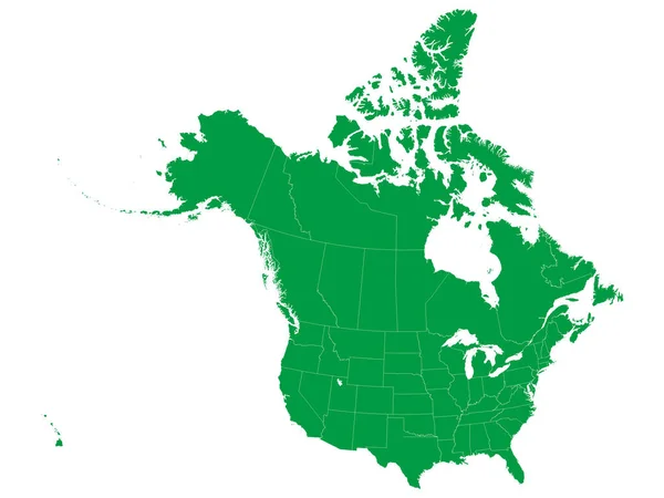
Green Map of North America (USA and Canada) on White Background With National and Federal State Borders
Green Map North America Usa Canada White Background National Federal — Stock Vector
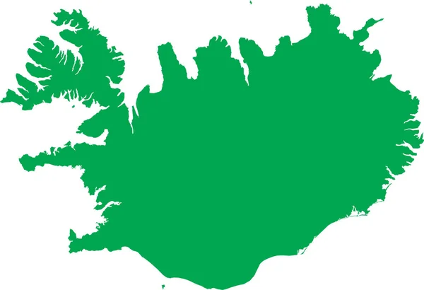
GREEN CMYK color detailed flat stencil map of the European country of ICELAND on transparent background
Green Cmyk Color Detailed Flat Stencil Map European Country Iceland — Stock Vector
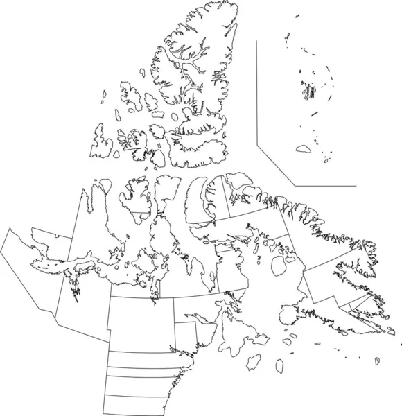
White flat blank vector administrative map of the territorial electoral districts of Canadian territory of NUNAVUT, CANADA with black border lines of its districts
White Flat Blank Vector Administrative Map Territorial Electoral Districts Canadian — Stock Vector
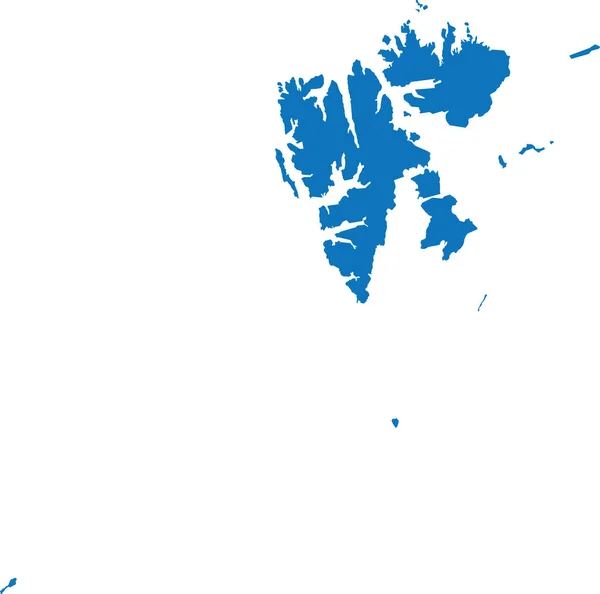
BLUE CMYK color detailed flat stencil map of the European country of SVALBARD AND JAN MAYEN on transparent background
Blue Cmyk Color Detailed Flat Stencil Map European Country Svalbard — Stock Vector
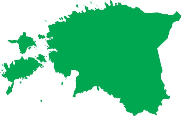
GREEN CMYK color detailed flat stencil map of the European country of ESTONIA on transparent background
Green Cmyk Color Detailed Flat Stencil Map European Country Estonia — Stock Vector
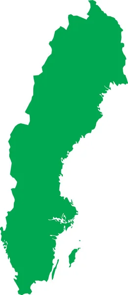
GREEN CMYK color detailed flat stencil map of the European country of SWEDEN on transparent background
Green Cmyk Color Detailed Flat Stencil Map European Country Sweden — Stock Vector
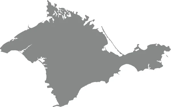
Gray flat blank vector administrative map of the Ukrainian autonomous republic of CRIMEA, UKRAINE
Gray Flat Blank Vector Administrative Map Ukrainian Autonomous Republic Crimea — Stock Vector
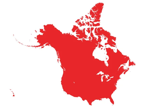
Red Map of North America (USA and Canada) on White Background Without National Country Borders
Red Map North America Usa Canada White Background National Country — Stock Vector
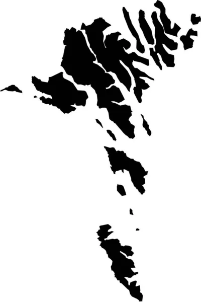
BLACK CMYK color detailed flat stencil map of the European country of FAROE ISLANDS on transparent background
Black Cmyk Color Detailed Flat Stencil Map European Country Faroe — Stock Vector

Similar Stock Videos:

India Country Map Showing Up Intro By Regions/ 4k animated india map intro background with countries appearing and fading one by one and camera movement
India Country Map Showing Intro Regions Animated India Map Intro — Stock Video
Russia Map Intro By Regions/ 4k animated russia map intro background with countries appearing and fading one by one and camera movement
Russia Map Intro Regions Animated Russia Map Intro Background Countries — Stock Video
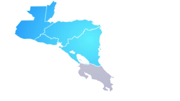
Central America Map Showing Up Intro By States/ 4k animated central american map intro background with states appearing and fading one by one and camera movement
Central America Map Showing Intro States Animated Central American Map — Stock Video
Animated cartography with bokeh in background showing the United Kingdom being erased from the European Union map
Animated cartography with bokeh in background showing the United Kingdom — Stock Video
Denmark animated map with alpha channel. Motion design 4k
Denmark animated map with alpha channel. — Stock Video
India map icon isolated on white background. 4K Video motion graphic animation
India map icon isolated on white background. 4K Video motion graphic — Stock Video
Animated Map of Netherlands in blue on a white background. Motion design 4k
Animated Map of Netherlands in blue on a white background. Motion design — Stock Video
Belgium animated map with alpha channel. Motion design 4k
Belgium animated map with alpha channel. — Stock Video
Finland animated map with alpha channel. Motion 4k design
Finland animated map with alpha channel. — Stock Video
Canada map highlighted in Canada flag colors and pin of country capital Ottawa.
Canada map highlighted in Canada flag colors and pin of country — Stock Video
Europe Map Showing Up Intro With New Regions/ 4k animated europe continent map intro background with countries and regions appearing and fading one by one and camera movement
Europe Map Showing Intro New Regions Animated Europe Continent Map — Stock Video
United state of america map
United state of america map — Stock Video
Animated Map of Albania. Gray Blank Albania Map on White Background. 4K Ultra HD World Map Animation.
Animated Map of Albania. Gray Blank Albania Map on White Background. 4K World Map Animation. — Stock Video
Animation of european map with red united kingdom and blue europe on white background. european union and brexit concept digitally generated video.
Animation European Map Red United Kingdom Blue Europe White Background — Stock Video
Azerbaijan map conveying the modern digital age and its emphasis on global connectivity among people
Azerbaijan map conveying the modern digital age and its emphasis on global connectivity — Stock Video
Borders drawing outline map of Germany, geographic borders of the country deutschland, deutsch land. High quality 4k footage
Borders drawing outline map of Germany, geographic borders of the country deutschland, deutsch land — Stock Video
Italy Map Showing Up Intro With New Regions/ 4k animated italy map intro background with new administrative regions appearing and fading one by one and camera movement
Italy Map Showing Intro New Regions Animated Italy Map Intro — Stock Video
Brexit - animated map showing the European Union map erasing the United Kingdom after the 2016's June's referendum.
Brexit - animated map showing the European Union map erasing the United Kingdom after the 2016's June's referendum. — Stock Video

Usage Information

You can use this royalty-free vector image "Flat Green Political Map of North America without National Country Borders" for personal and commercial purposes according to the Standard or Extended License. The Standard License covers most use cases, including advertising, UI designs, and product packaging, and allows up to 500,000 print copies. The Extended License permits all use cases under the Standard License with unlimited print rights and allows you to use the downloaded vector files for merchandise, product resale, or free distribution.

This stock vector image is scalable to any size. You can buy and download it in high resolution up to 3200x2400. Upload Date: Oct 16, 2020