Grey Flat Election Counties Map Usa Federal State Georgia — Stock Vector

Grey Flat Election Counties Map of the USA Federal State of Georgia — Vector

Grey Flat Election Counties Map of the USA Federal State of Georgia

 — Vector by momcilo.jovanov

Same Series:

Topographic Relief Peaks and Valleys Map of US Federal State of Georgia
Topographic Relief Peaks Valleys Map Federal State Georgia — Stock Vector
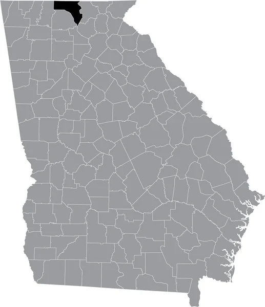
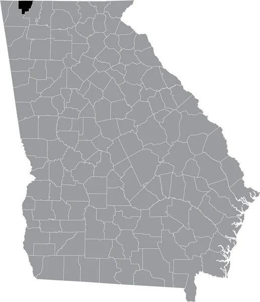
Black highlighted location map of the US Dade county inside gray map of the Federal State of Georgia, USA
Black Highlighted Location Map Dade County Gray Map Federal State — Stock Vector
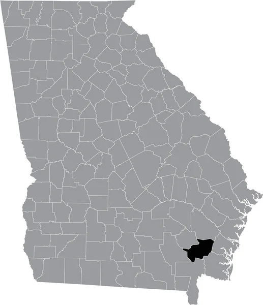
Black highlighted location map of the US Charlton county inside gray map of the Federal State of Georgia, USA
Black Highlighted Location Map Charlton County Gray Map Federal State — Stock Vector
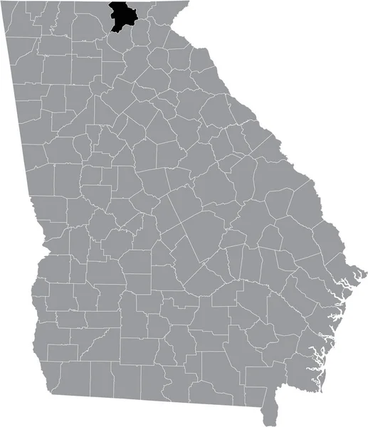
Black highlighted location map of the US Fannin county inside gray map of the Federal State of Georgia, USA
Black Highlighted Location Map Fannin County Gray Map Federal State — Stock Vector
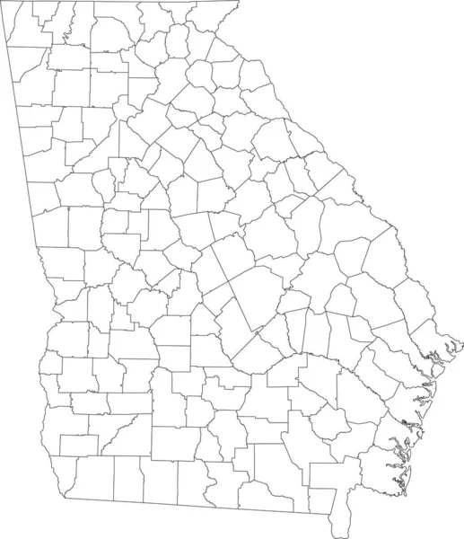
White blank vector map of the Federal State of Georgia, USA with black borders of its counties
White Blank Vector Map Federal State Georgia Usa Black Borders — Stock Vector
Black highlighted location map of the US Rabun county inside gray map of the Federal State of Georgia, USA
Black Highlighted Location Map Rabun County Gray Map Federal State — Stock Vector
Black highlighted location map of the US Baldwin county inside gray map of the Federal State of Alabama, USA
Black Highlighted Location Map Baldwin County Gray Map Federal State — Stock Vector
Black highlighted location map of the US Chatham county inside gray map of the Federal State of Georgia, USA
Black Highlighted Location Map Chatham County Gray Map Federal State — Stock Vector
Black highlighted location map of the US Camden county inside gray map of the Federal State of Georgia, USA
Black Highlighted Location Map Camden County Gray Map Federal State — Stock Vector
Black highlighted location map of the US Towns county inside gray map of the Federal State of Georgia, USA
Black Highlighted Location Map Towns County Gray Map Federal State — Stock Vector
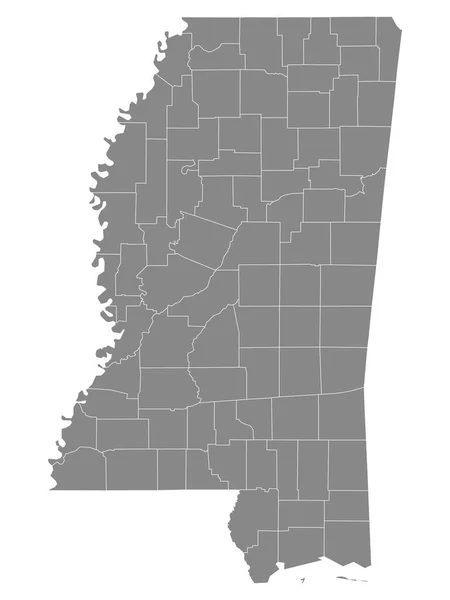
Gray Outline Counties Map of US State of Mississippi
Gray Outline Counties Map State Mississippi — Stock Vector
Black highlighted location map of the US Walker county inside gray map of the Federal State of Georgia, USA
Black Highlighted Location Map Walker County Gray Map Federal State — Stock Vector
Black highlighted location map of the US Union county inside gray map of the Federal State of Georgia, USA
Black Highlighted Location Map Union County Gray Map Federal State — Stock Vector
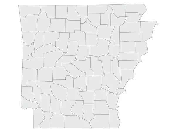
Grey Flat Election Counties Map of the USA Federal State of Arkansas
Grey Flat Election Counties Map Usa Federal State Arkansas — Stock Vector
Black highlighted location map of the US Brantley county inside gray map of the Federal State of Georgia, USA
Black Highlighted Location Map Brantley County Gray Map Federal State — Stock Vector
Black highlighted location map of the US Catoosa county inside gray map of the Federal State of Georgia, USA
Black Highlighted Location Map Catoosa County Gray Map Federal State — Stock Vector

Usage Information

You can use this royalty-free vector image "Grey Flat Election Counties Map of the USA Federal State of Georgia" for personal and commercial purposes according to the Standard or Extended License. The Standard License covers most use cases, including advertising, UI designs, and product packaging, and allows up to 500,000 print copies. The Extended License permits all use cases under the Standard License with unlimited print rights and allows you to use the downloaded vector files for merchandise, product resale, or free distribution.

This stock vector image is scalable to any size. You can buy and download it in high resolution up to 3600x4800. Upload Date: Oct 15, 2020